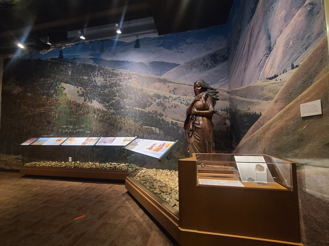
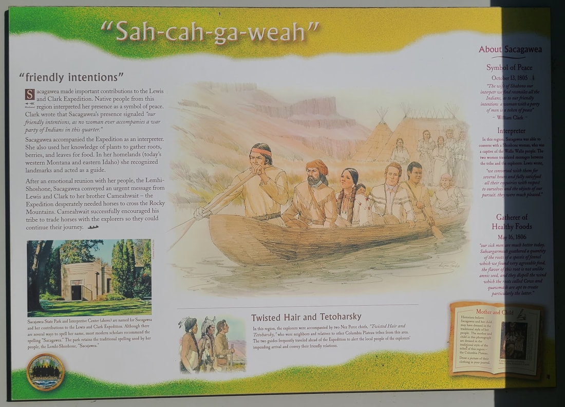
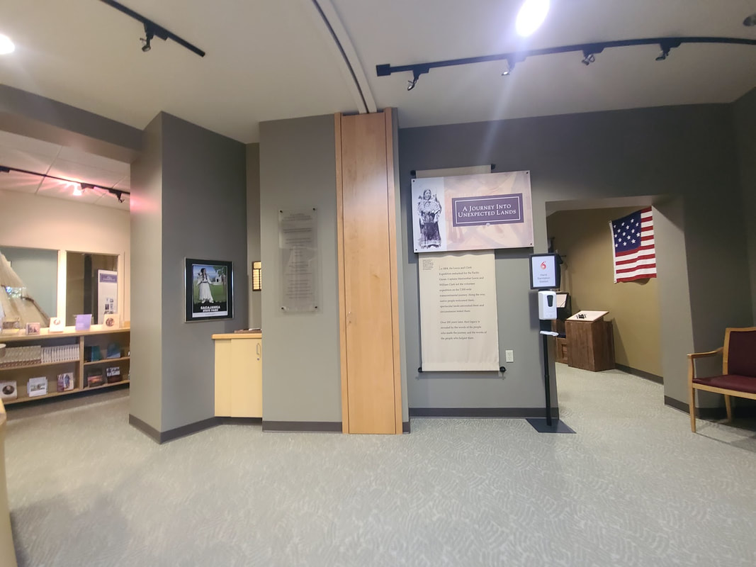
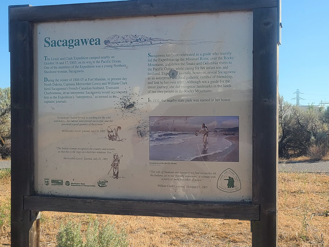
 Sacajawea exhibit at the Idaho State Museum, Boise Sacajawea (Sacagawea) was literally a native of what’s now Lemhi County ID, a member of the local Shoshone tribe. Salmon (Lemhi county) ID is about an 11 hour drive from Portland, if you can drive it without stopping. Sacajawea Interpretive, Cultural, and Educational CenterVisitor Info
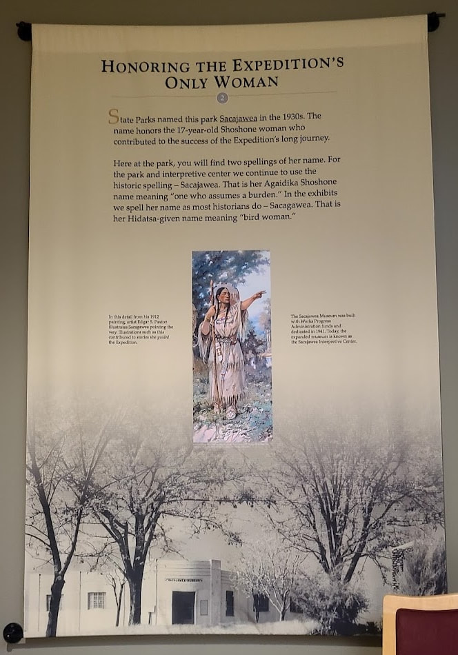
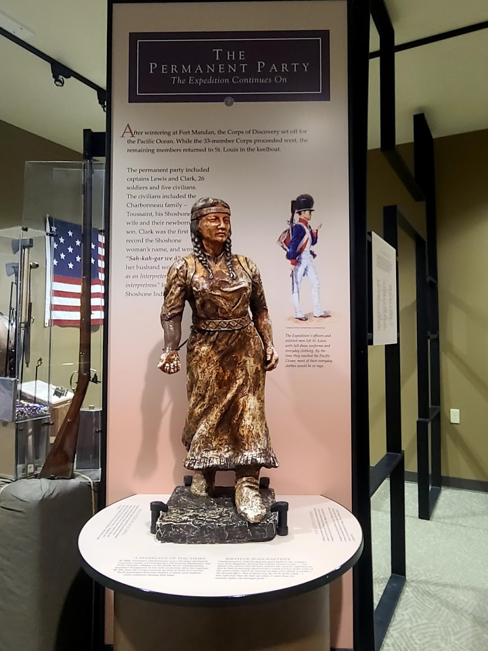
Local Sites, Salmon ID http://salmonidaho.com/local-sites Salmon Chamber of Commerce6 min video (2009)11 min video (2018) When she was about 10-12 years old, Sacajawea was captured by Hidatsa raiders, and ended up near what would come to be called Washburn ND, where she became second wife to Toussaint Charbonneau, a French-Canadian trapper. When Lewis & Clark, with the Corps of Discovery, reached that area upstream from St Louis via the Missouri River, they built Fort Mandan and hired Charbonneau as another interpreter/guide. Sacajawea came with (as was expected), and became a valuable asset, the only woman of the Corps--a new teenaged mother with her baby boy a few months old. She served as interpreter, part guide, symbol of peace (no war parties would include a woman and child), negotiator, food gatherer, and generally helpful member. One of the multitudes of "ordinary" women across time and place, who bravely faced extraordinary challenges without fanfare. Sacajawea’s Life
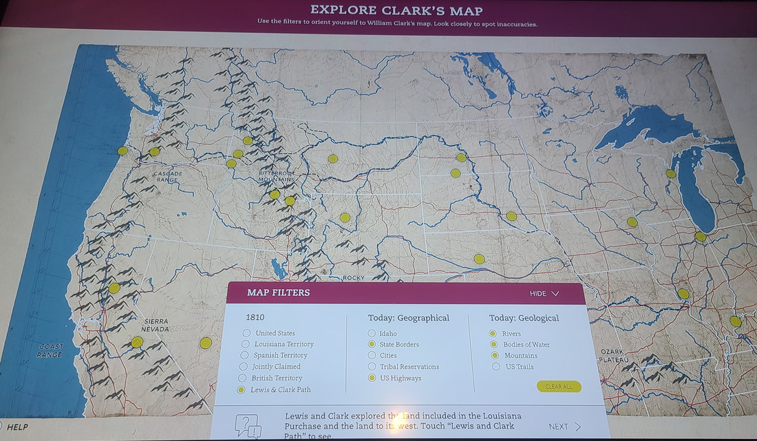
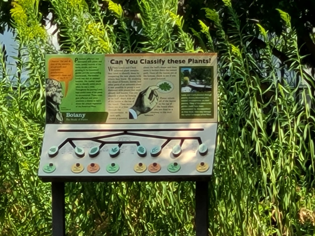
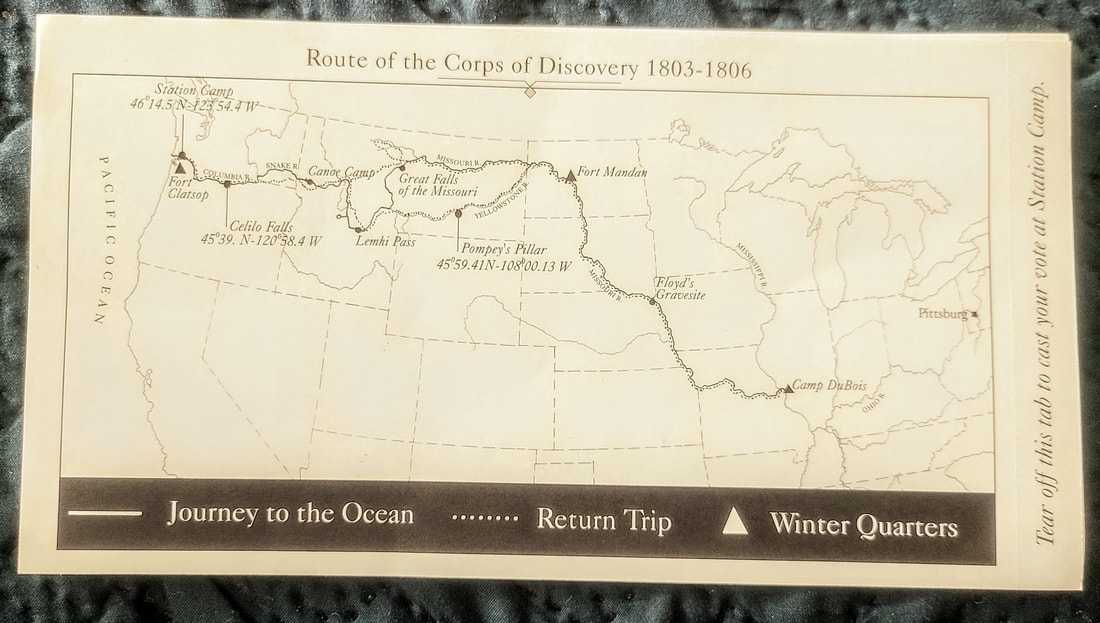
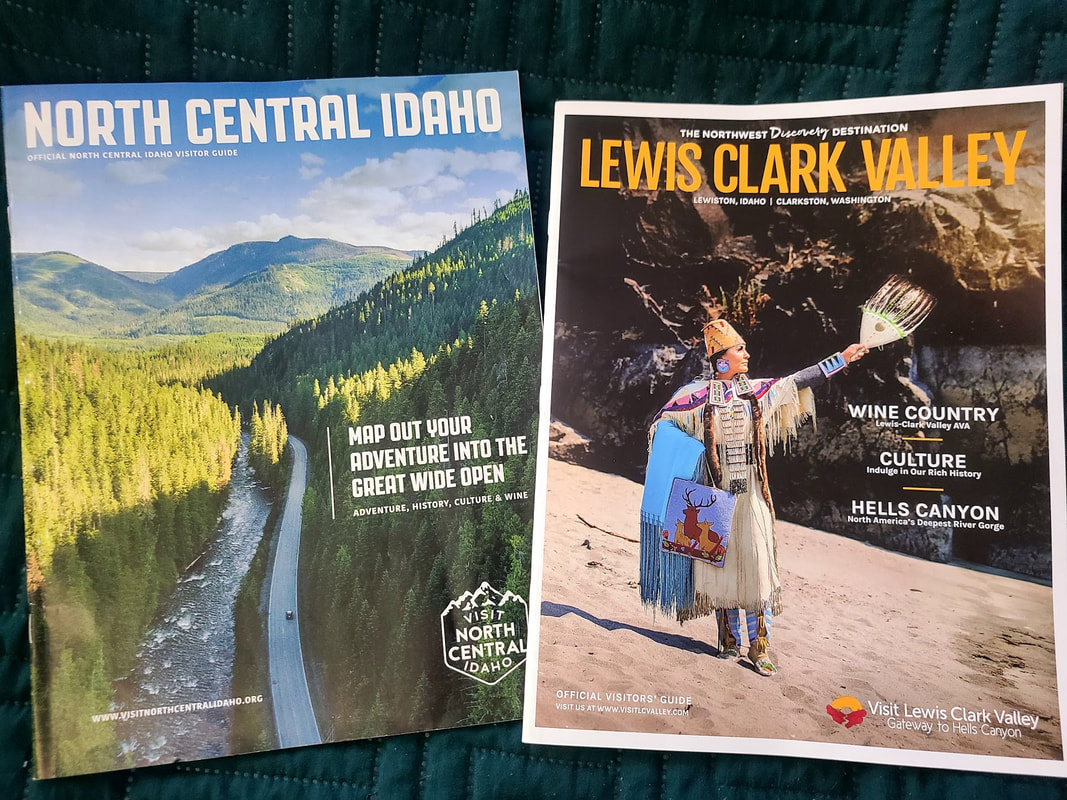
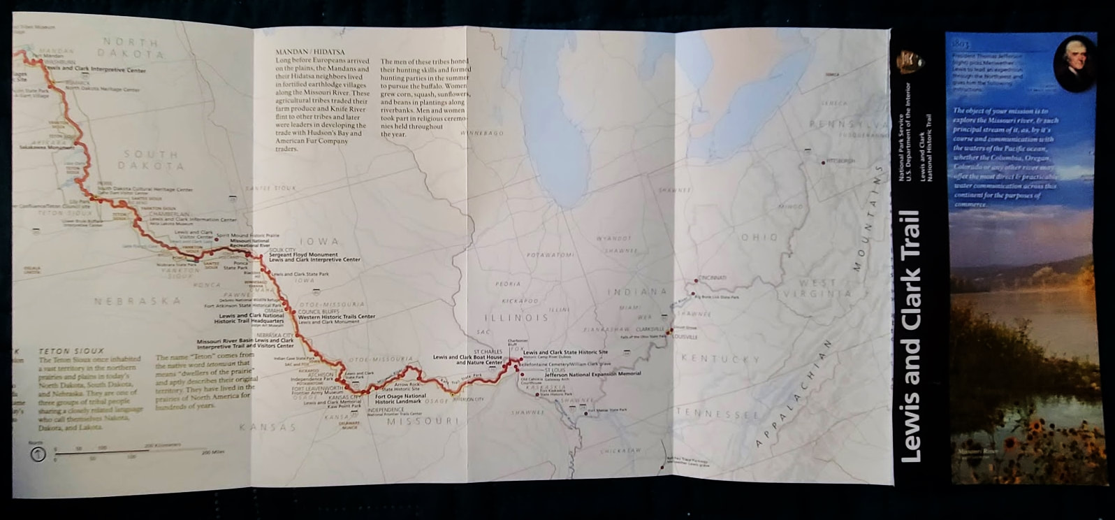
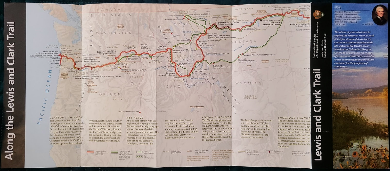
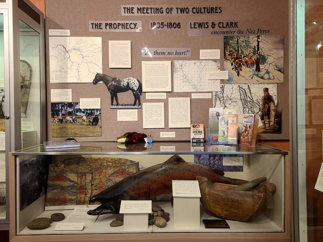
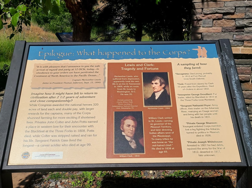
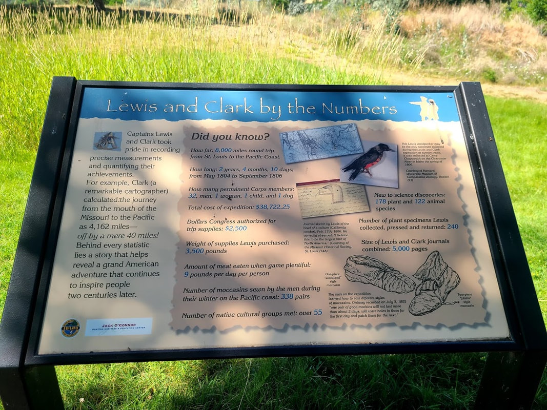
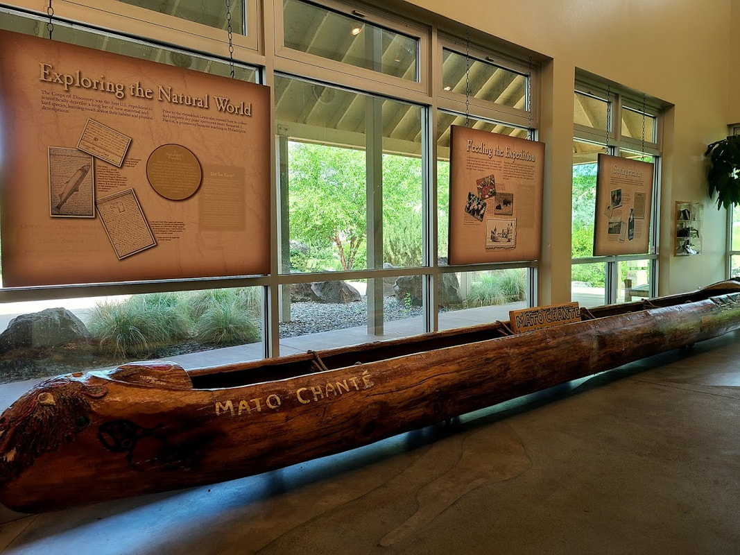
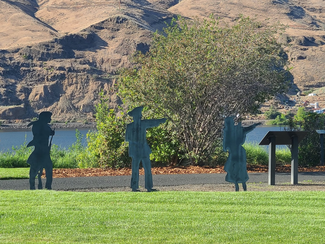
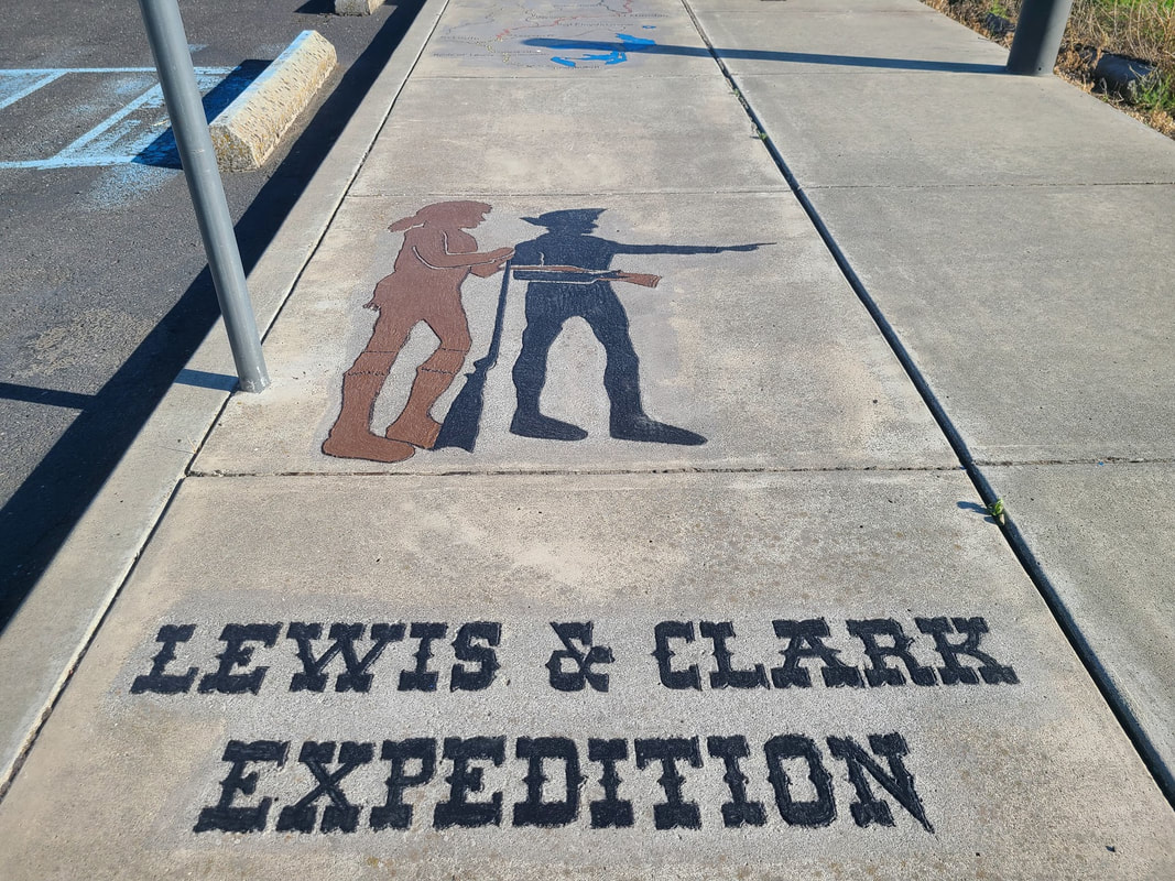
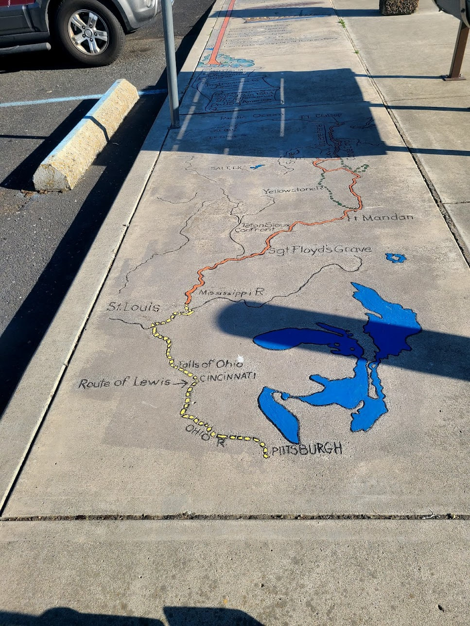
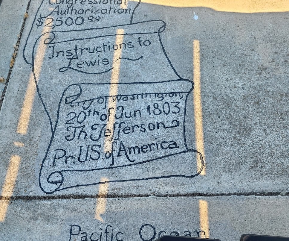
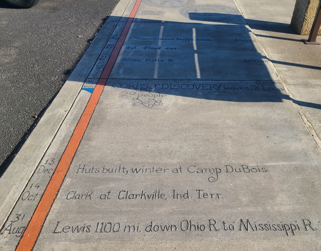
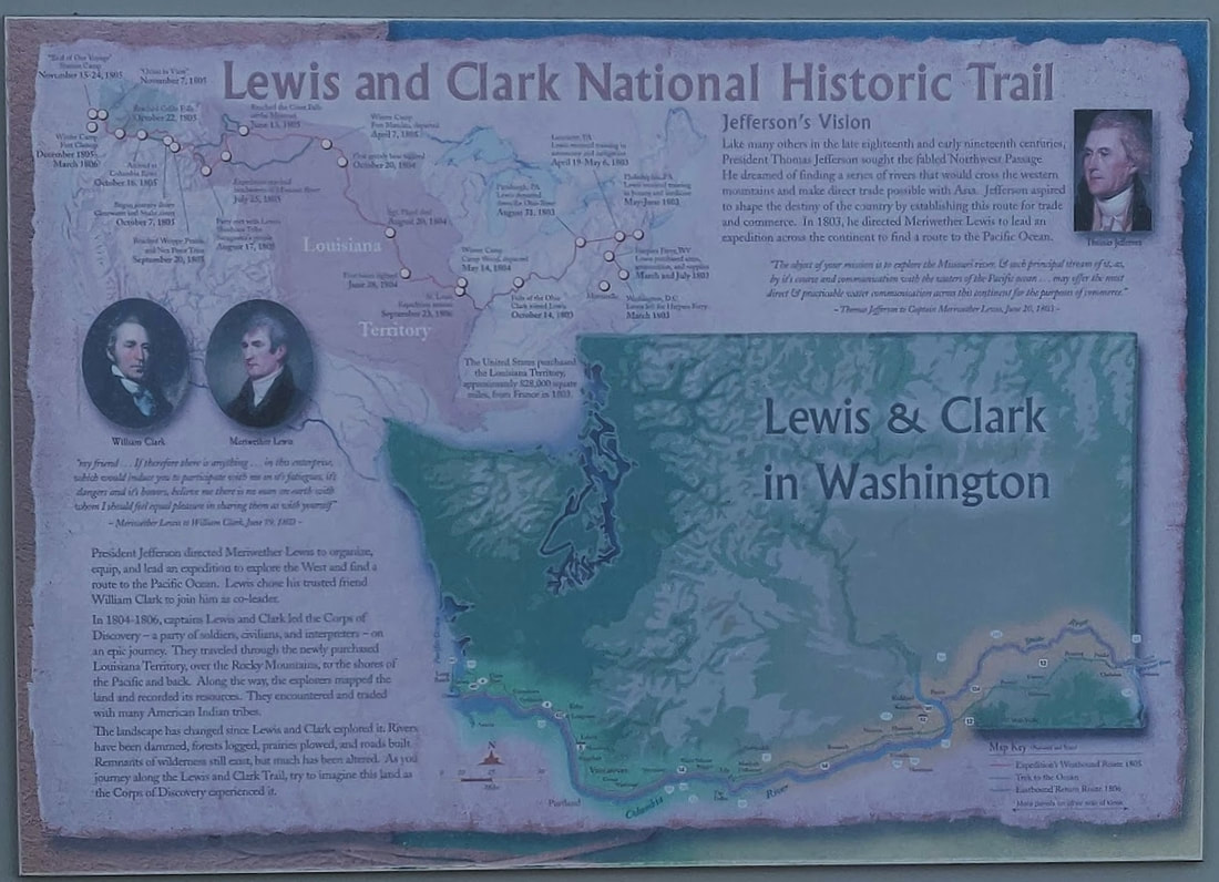
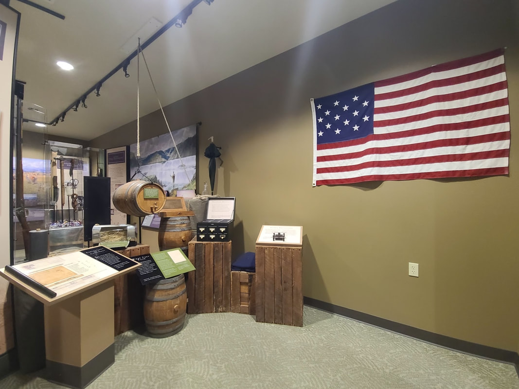
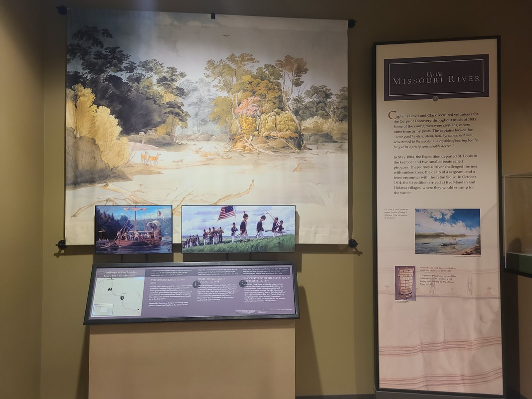
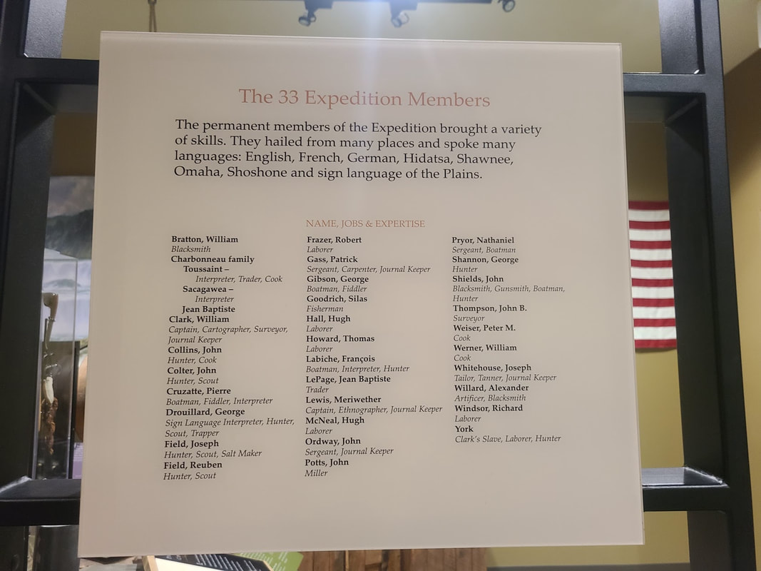
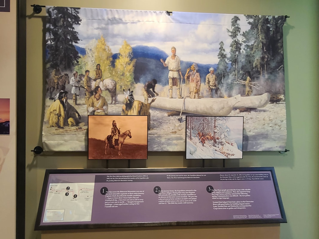
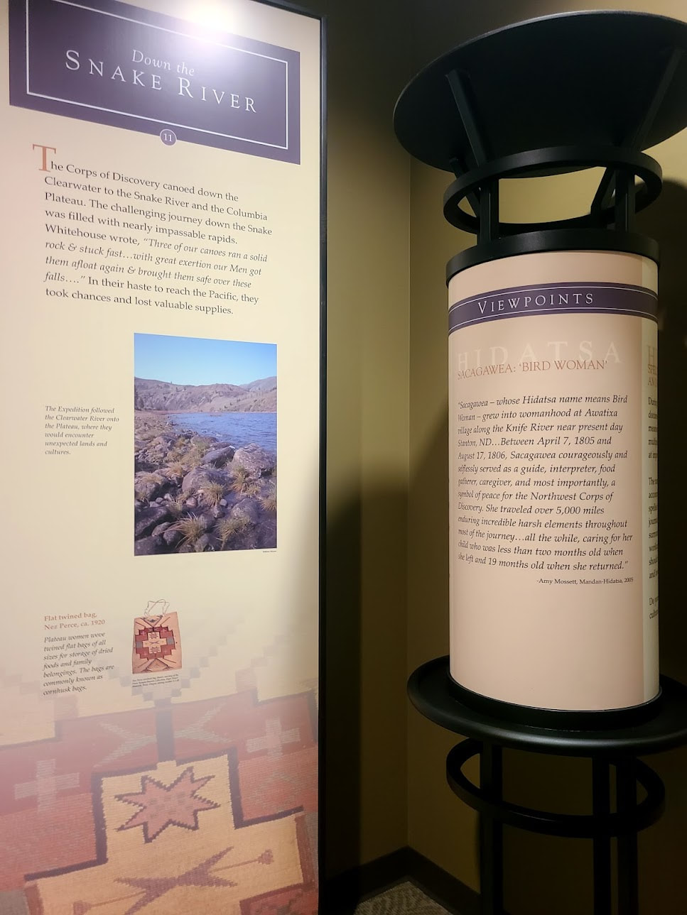
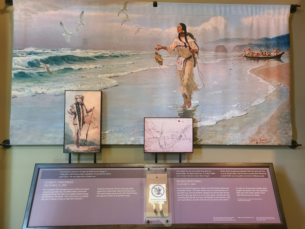
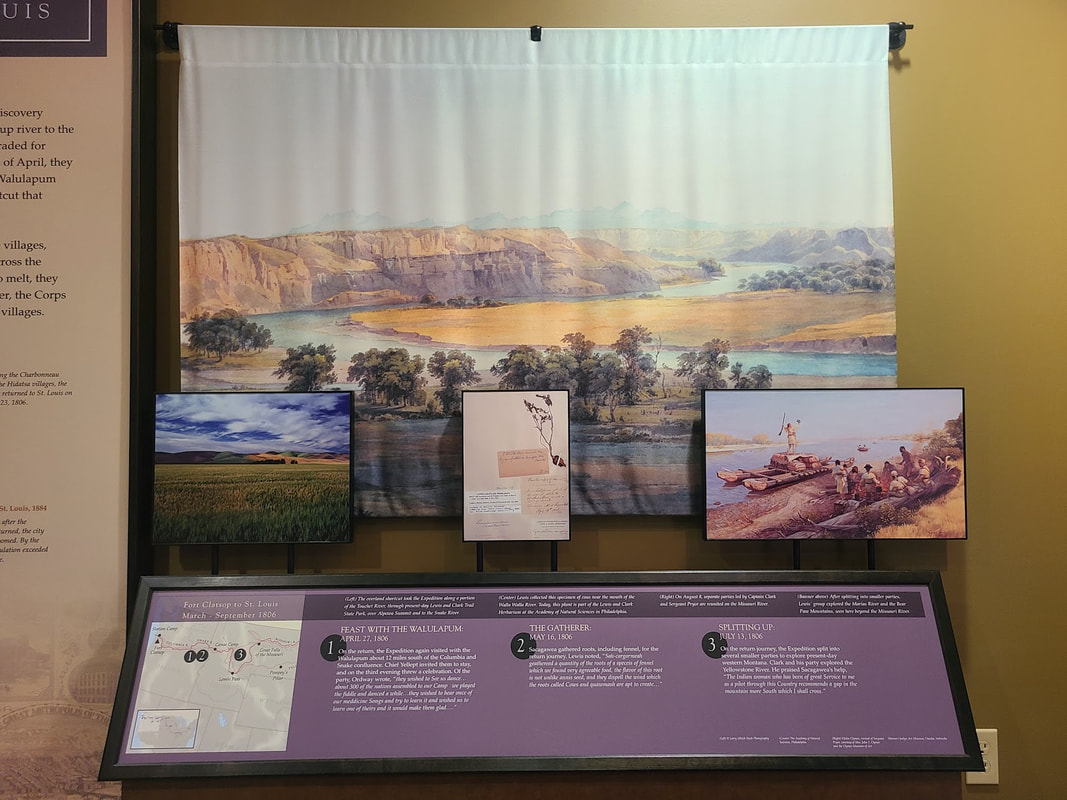
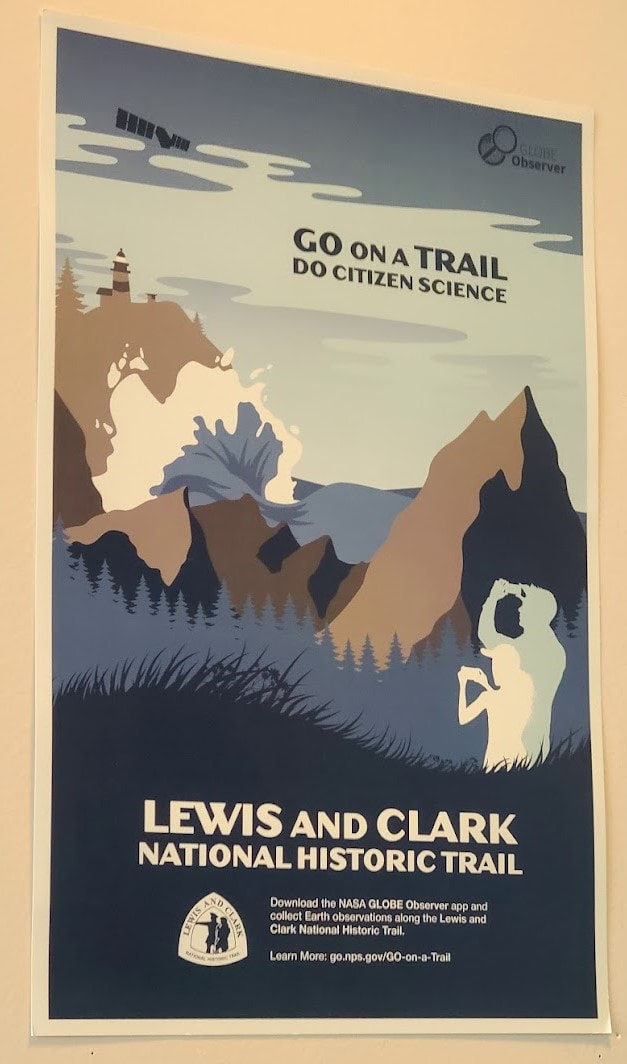
The Corps of Discovery exhibits in Boise ID The Corps didn't ever go through Boise, but as Idaho's capitol, exhibits in the capitol bldg and the Idaho State Museum have something to show and tell about the expedition that traveled through northern Idaho, and began the state's history that followed. 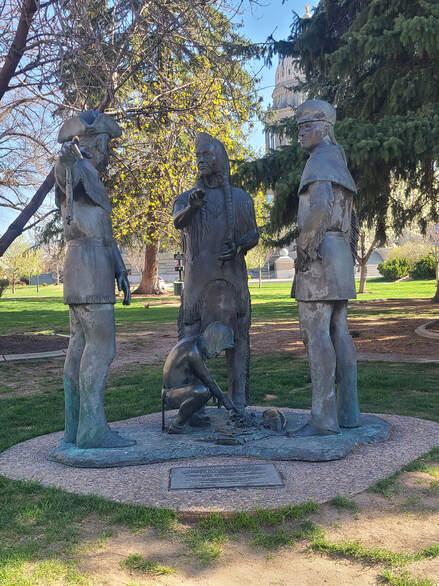 "Hospitality of the Nez Perce: Nez Perce Chief Twisted Hair discusses area geography with Meriwether Lewis and William Clark in September 1805. The chief's son, Lawyer, portrayed at about age eight inspects trade items at their feet: Nez Perce camas roots, a salmon, Euro-American cloth, and a knife. Doug Hyde created the statue. A nationally acclaimed Native American artist and Nez Perce descendent, he grew up in Lewiston, Idaho." Idaho State Capitol grounds, Boise. "Hospitality of the Nez Perce: Nez Perce Chief Twisted Hair discusses area geography with Meriwether Lewis and William Clark in September 1805. The chief's son, Lawyer, portrayed at about age eight inspects trade items at their feet: Nez Perce camas roots, a salmon, Euro-American cloth, and a knife. Doug Hyde created the statue. A nationally acclaimed Native American artist and Nez Perce descendent, he grew up in Lewiston, Idaho." Idaho State Capitol grounds, Boise. Lewis and Clark National and State Historical Parks – Wikipedia The Lewis and Clark Expedition Lewis & Clark sites in the Pacific Northwest 20 min vide "Blood and Butts - a Lewis and Clark story" 36 min video "Native Homelands Along the Lewis and Clark Trail" (2006)" on YouTube Corps of Discovery, Lewis & Clark Expedition--places to visit in North Dakota 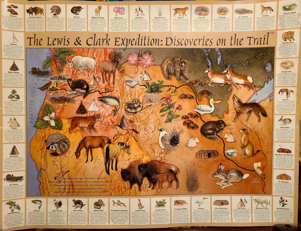 Engaging poster about the Corps of Discovery experience. Corps of Discovery, Lewis & Clark Expedition--places to visit in Montana
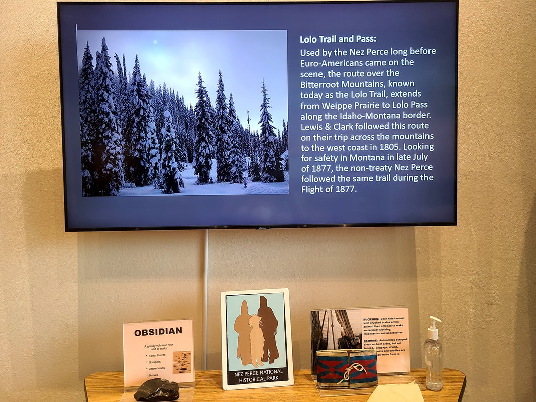
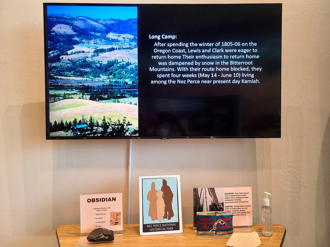
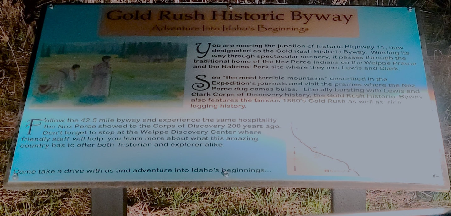
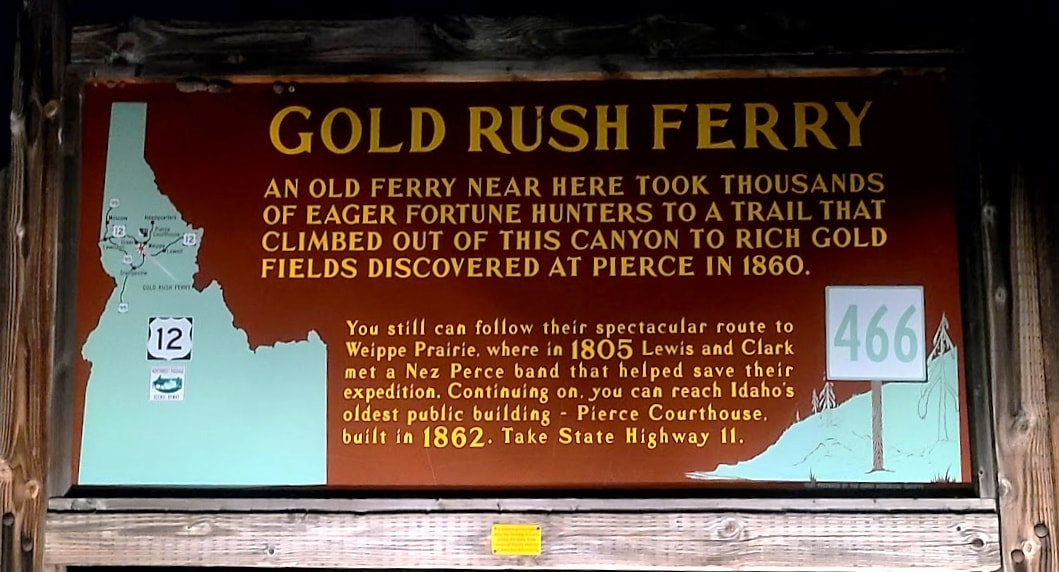
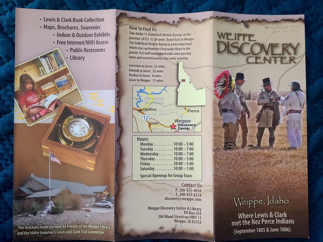
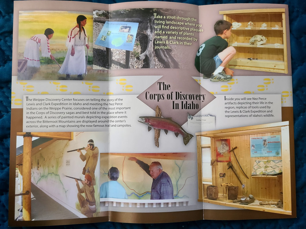
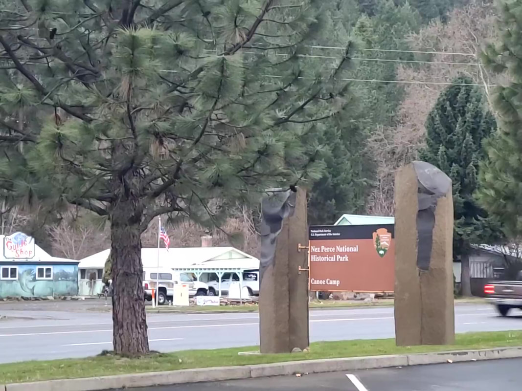
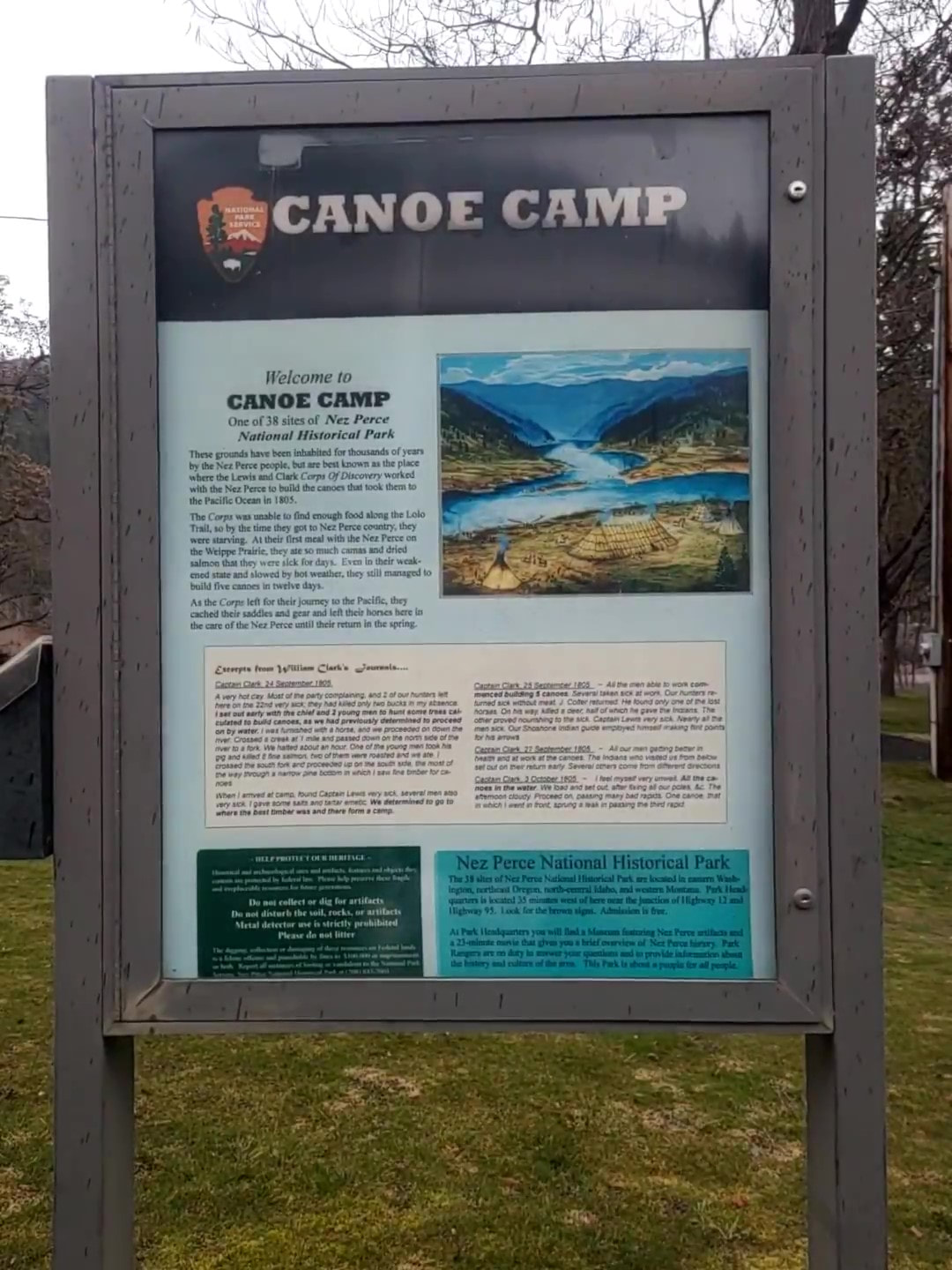
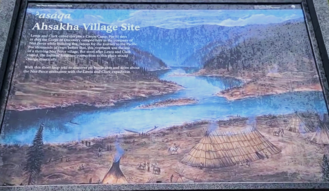
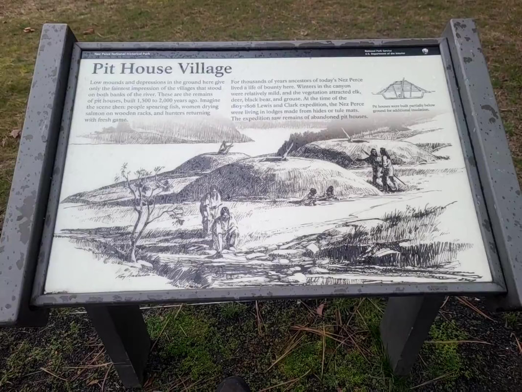
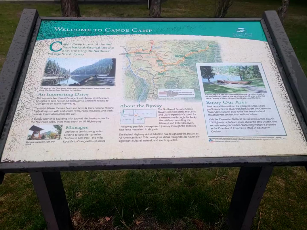
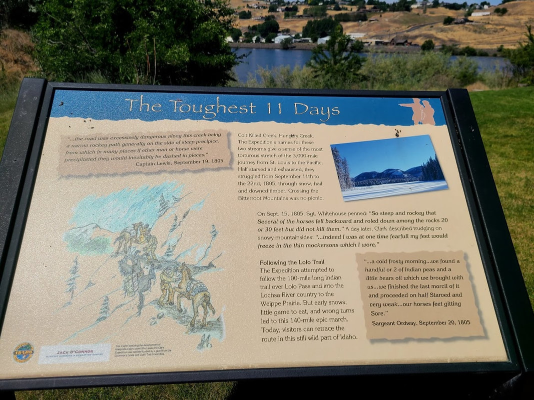
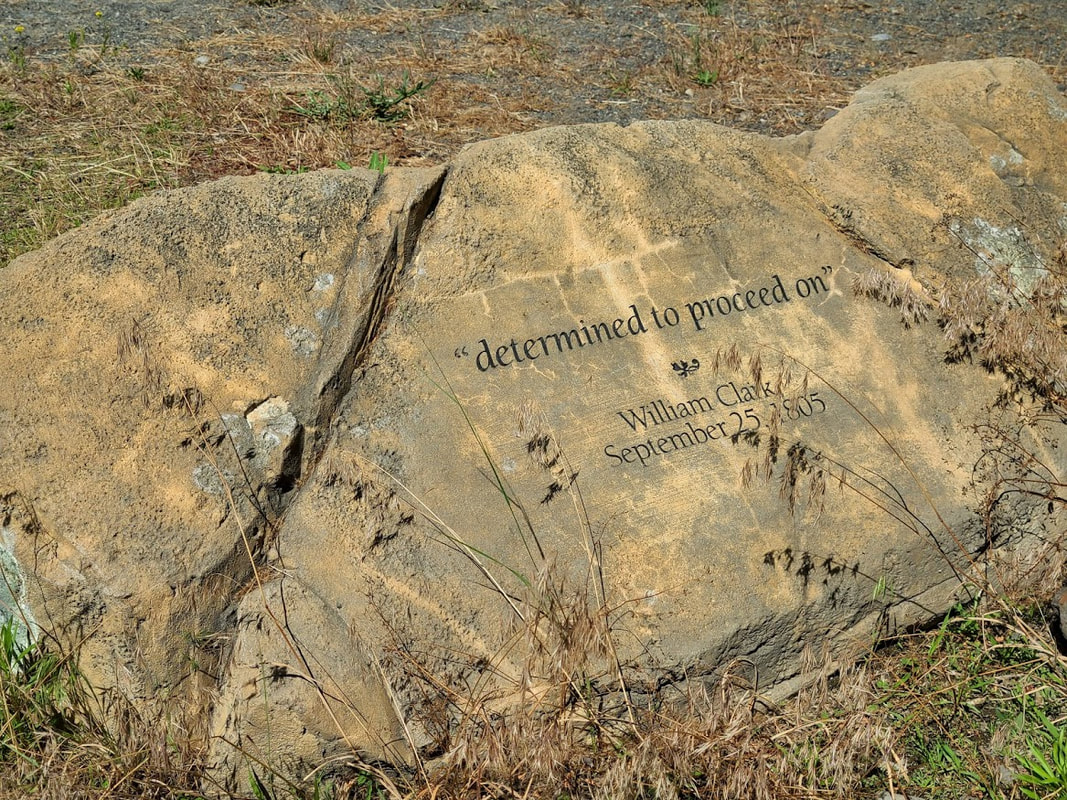
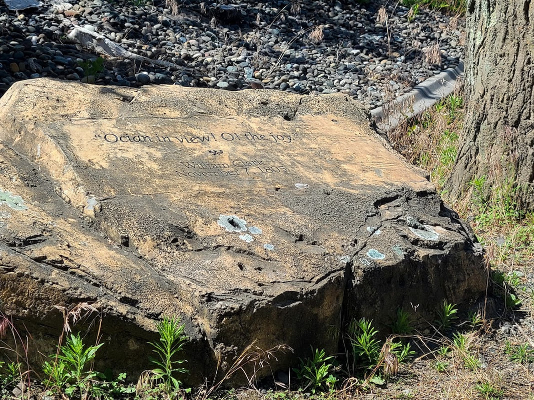
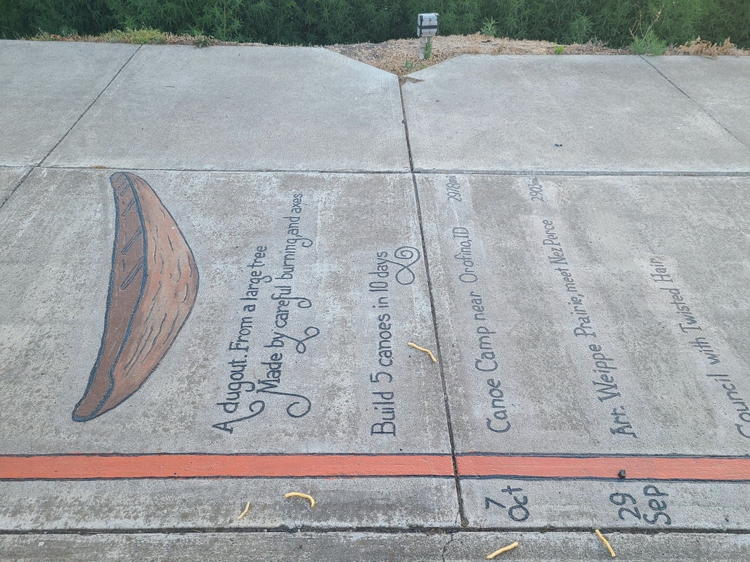
Lolo Pass, Long Camp, Weippe, Canoe Camp--Idaho
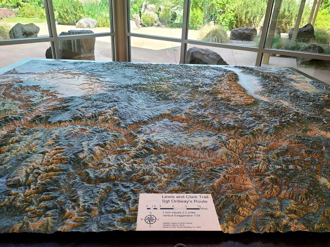
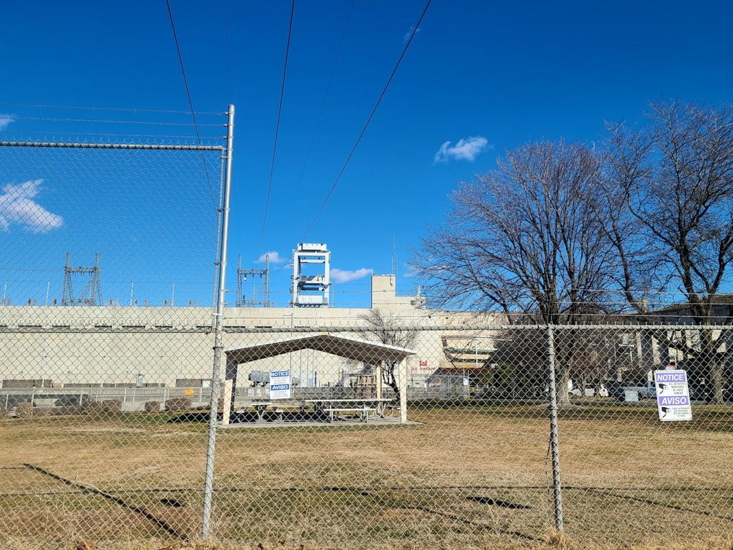
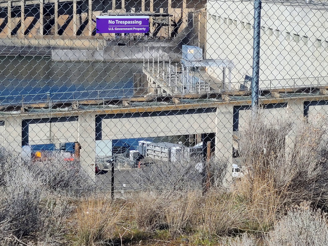
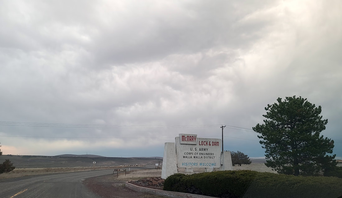
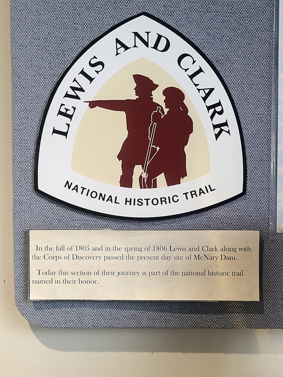
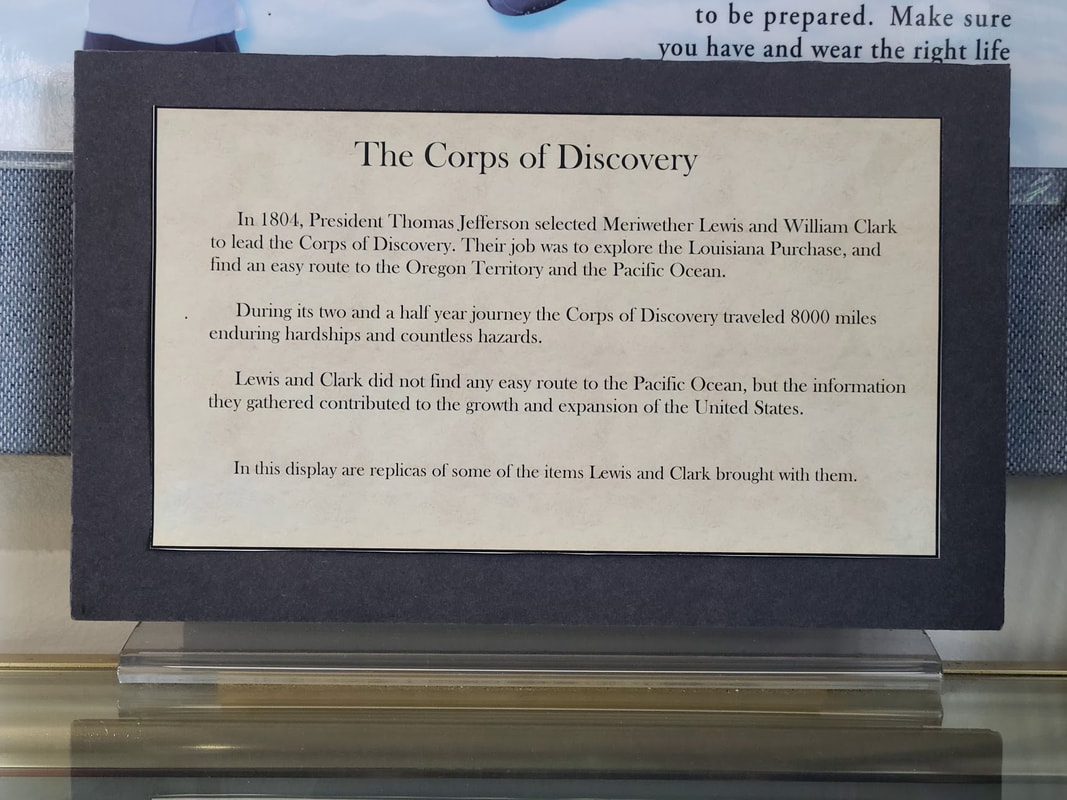
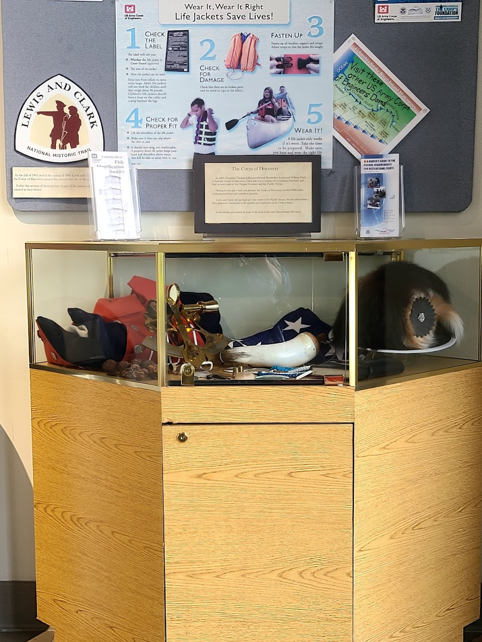
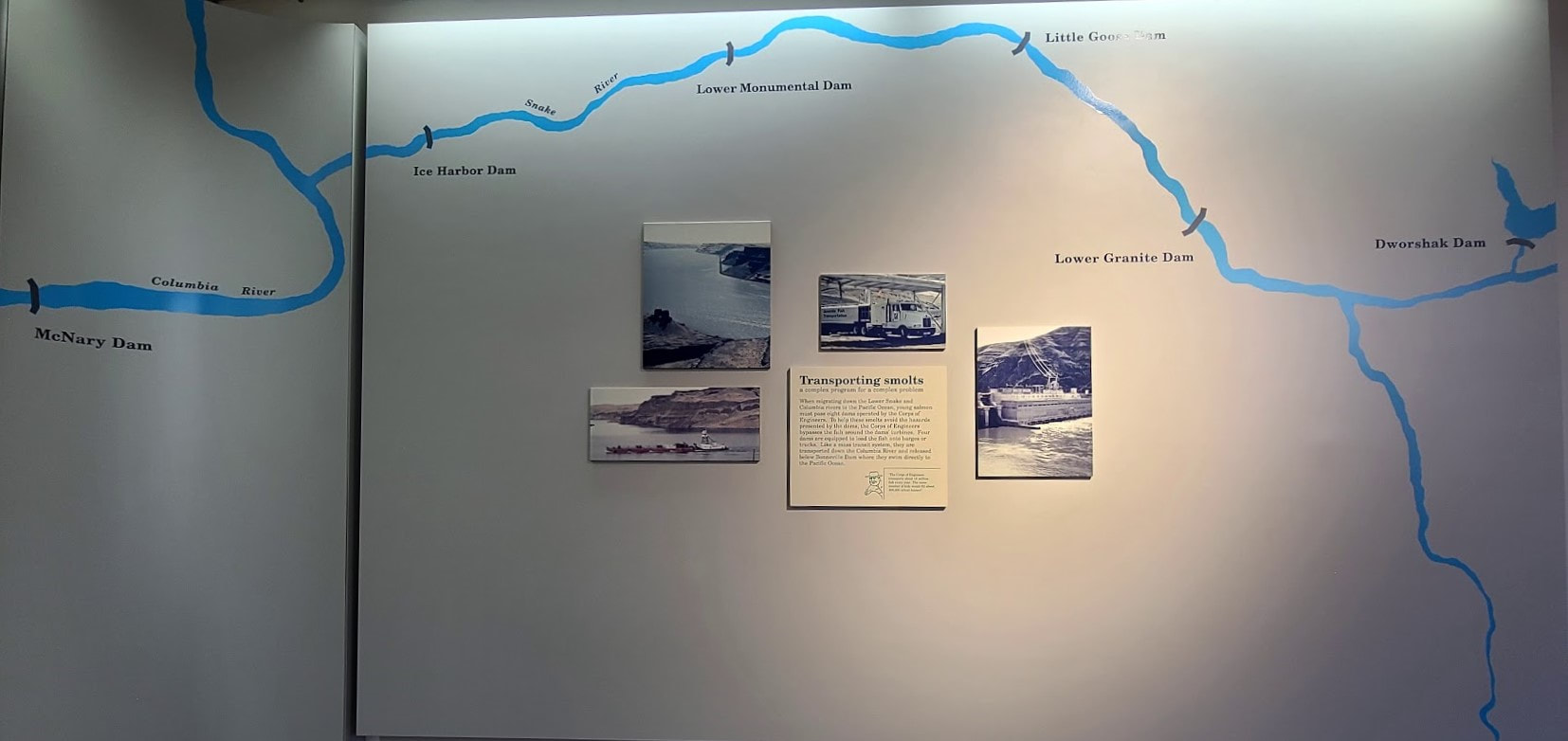 Dam sites along the Corps of Discovery trail: Dworshak Dam on the Clearwater River, then along the Snake River to McNary Dam on the Columbia River. Map from the McNary Dam visitor center.
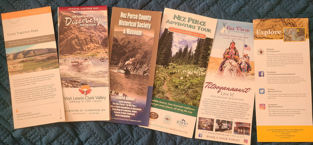
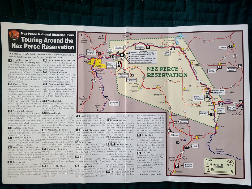
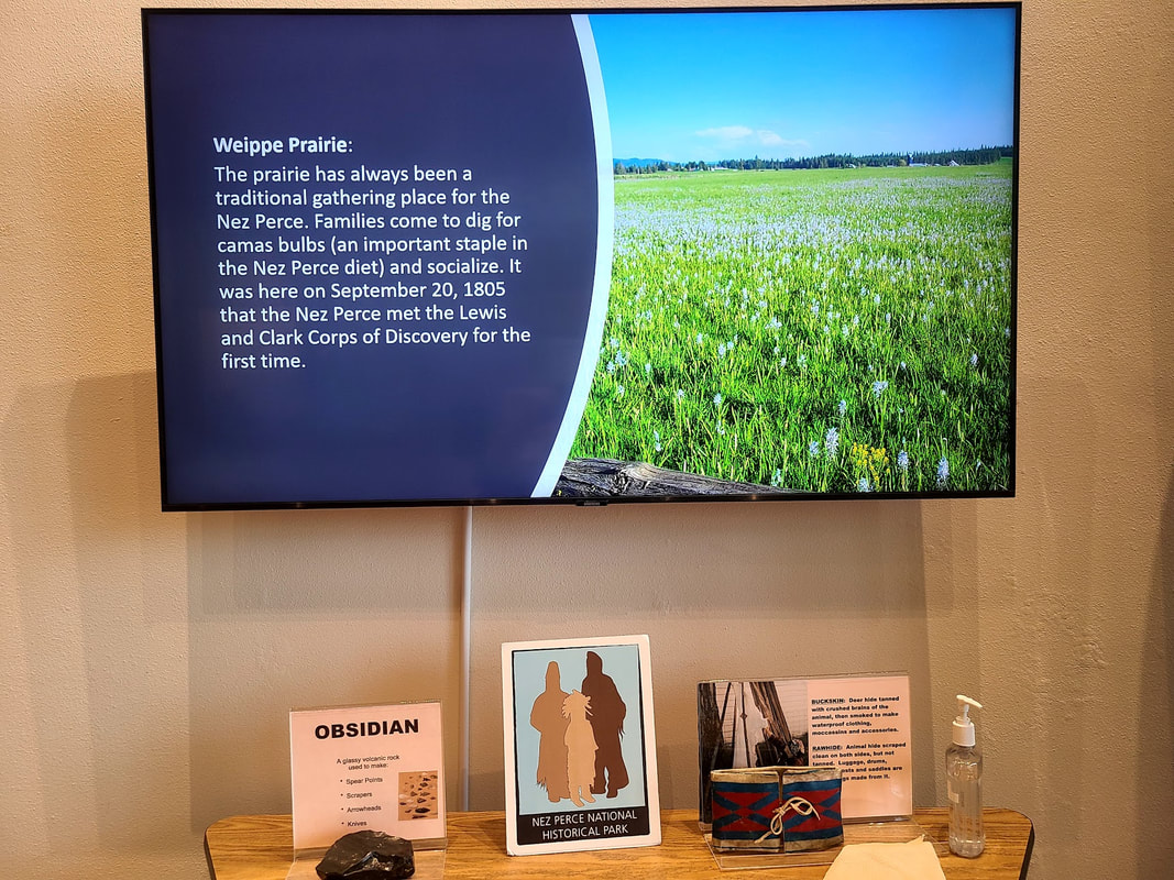
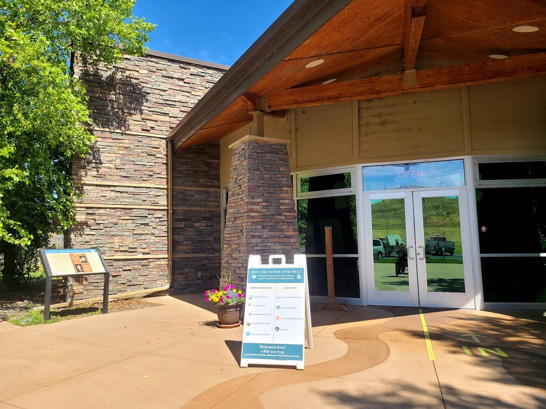
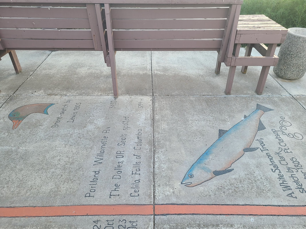
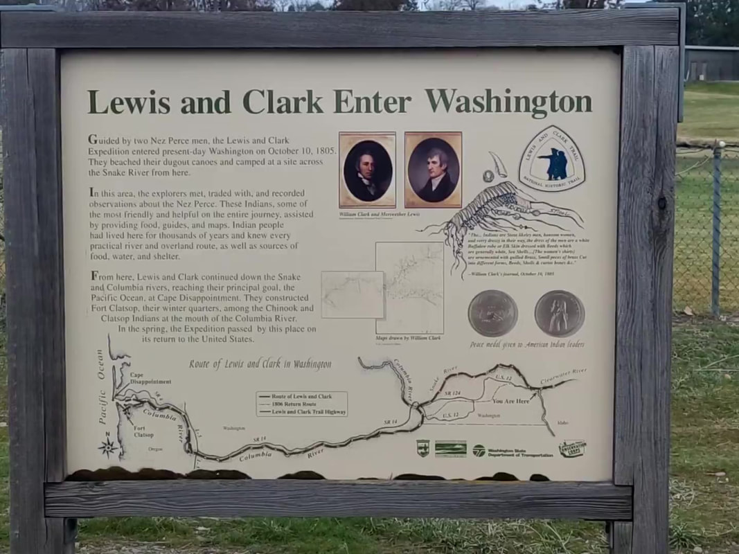
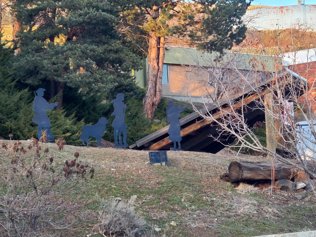
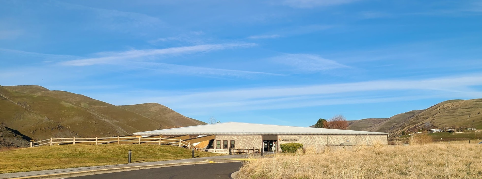 The Nez Perce National Historical Park Visitor Center, about 15 min east of Lewiston ID focuses on the life of the Nez Perce (whom the Corps of Discovery found to be life savers and friends). There are informative slides playing that give info about Lolo Pass, Long Camp, Weippe, and Canoe Camp. Lewiston ID to/from The Nez Perce National Historical Park Visitor Center On the north side of Hwy 12 between Lewiston and the Nez Perce National Historical Park Visitor Center is the Clearwater River Casino & Lodge (including RV camping, gas & convenience store). On the south side of Hwy 12 along the Clearwater River are some pull-outs with interpretive signs about the Nez Perce and Lewis and Clark. Where Hwy 95 temporarily intertwines with Hwy 12 on the north side of Lewiston are some great historic metal statues (The North Lewiston Gateway Project) , including Lewis & Clark and Sacajawea with the Nez Perce. You can enjoy some of the art as you travel south into Lewiston, but most of the works are not placed for picture taking. From the frontage road on the south side of the highway I could at least photograph one set.
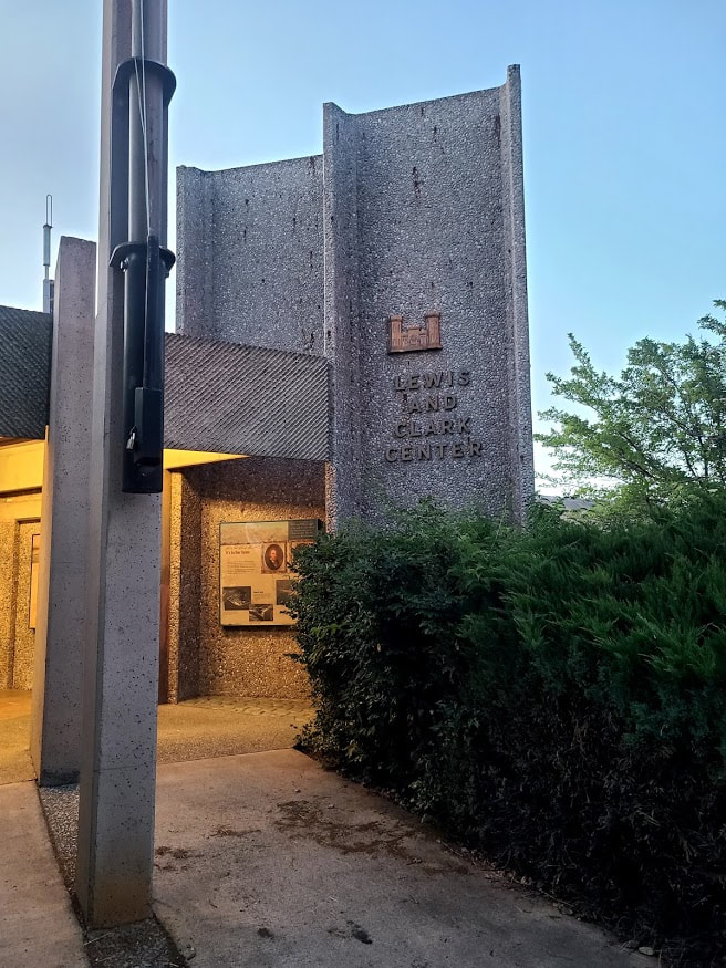
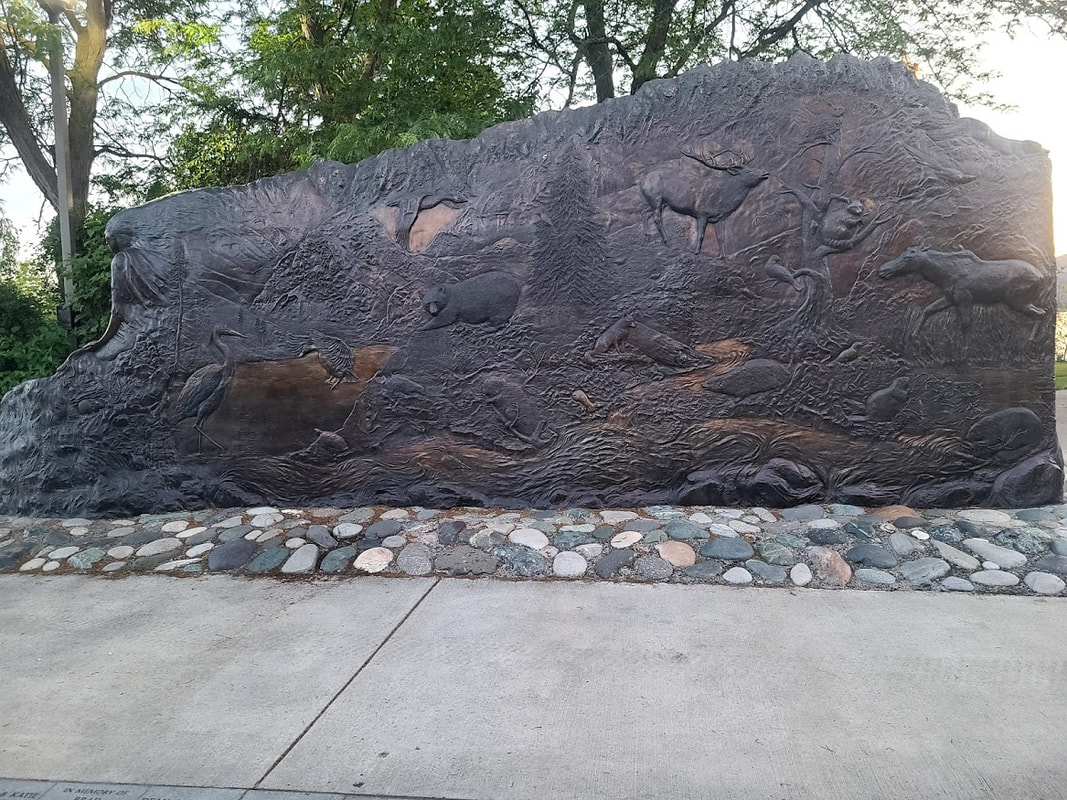
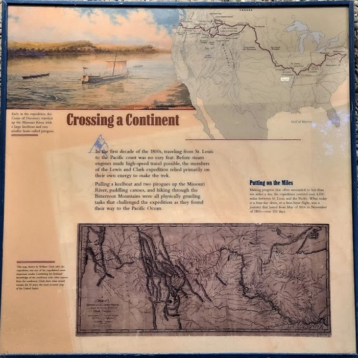
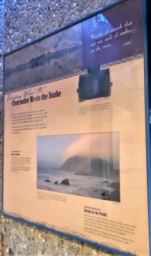
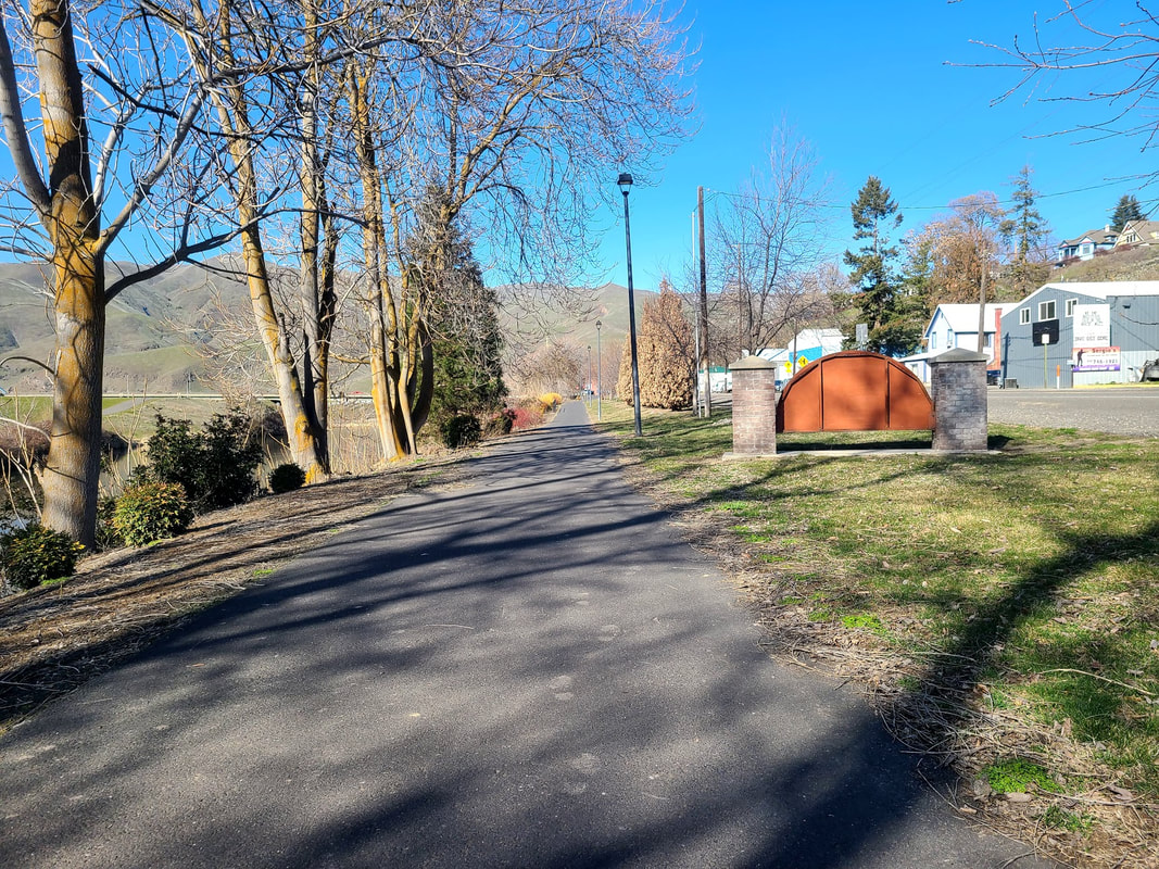
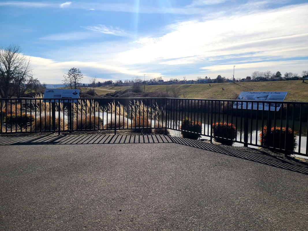
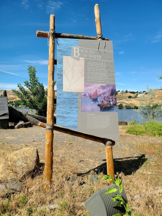
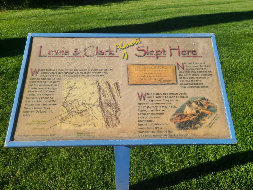
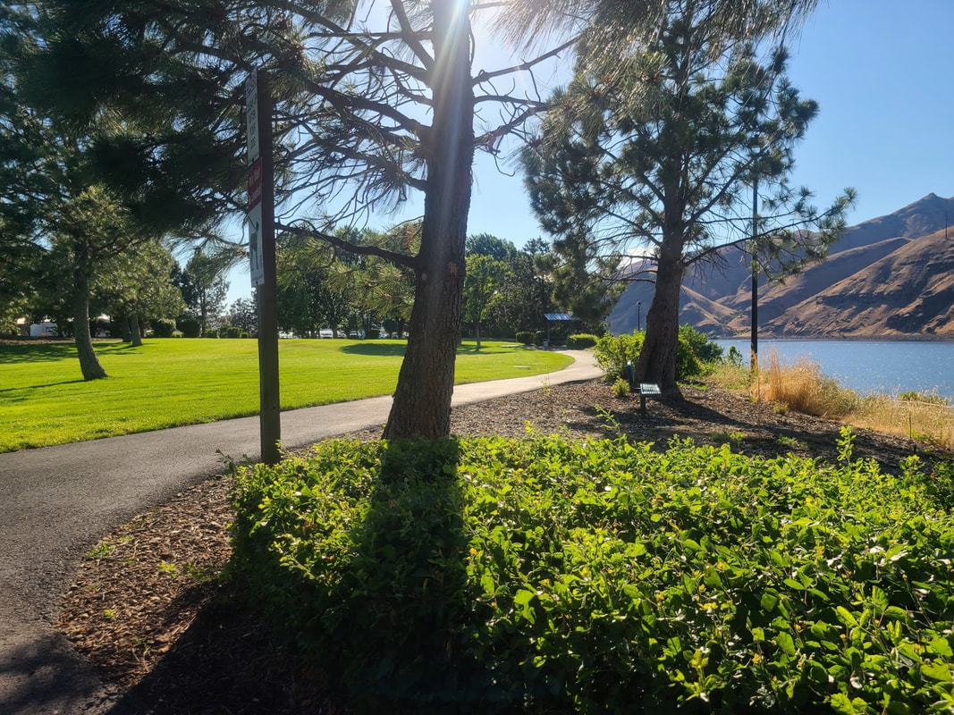
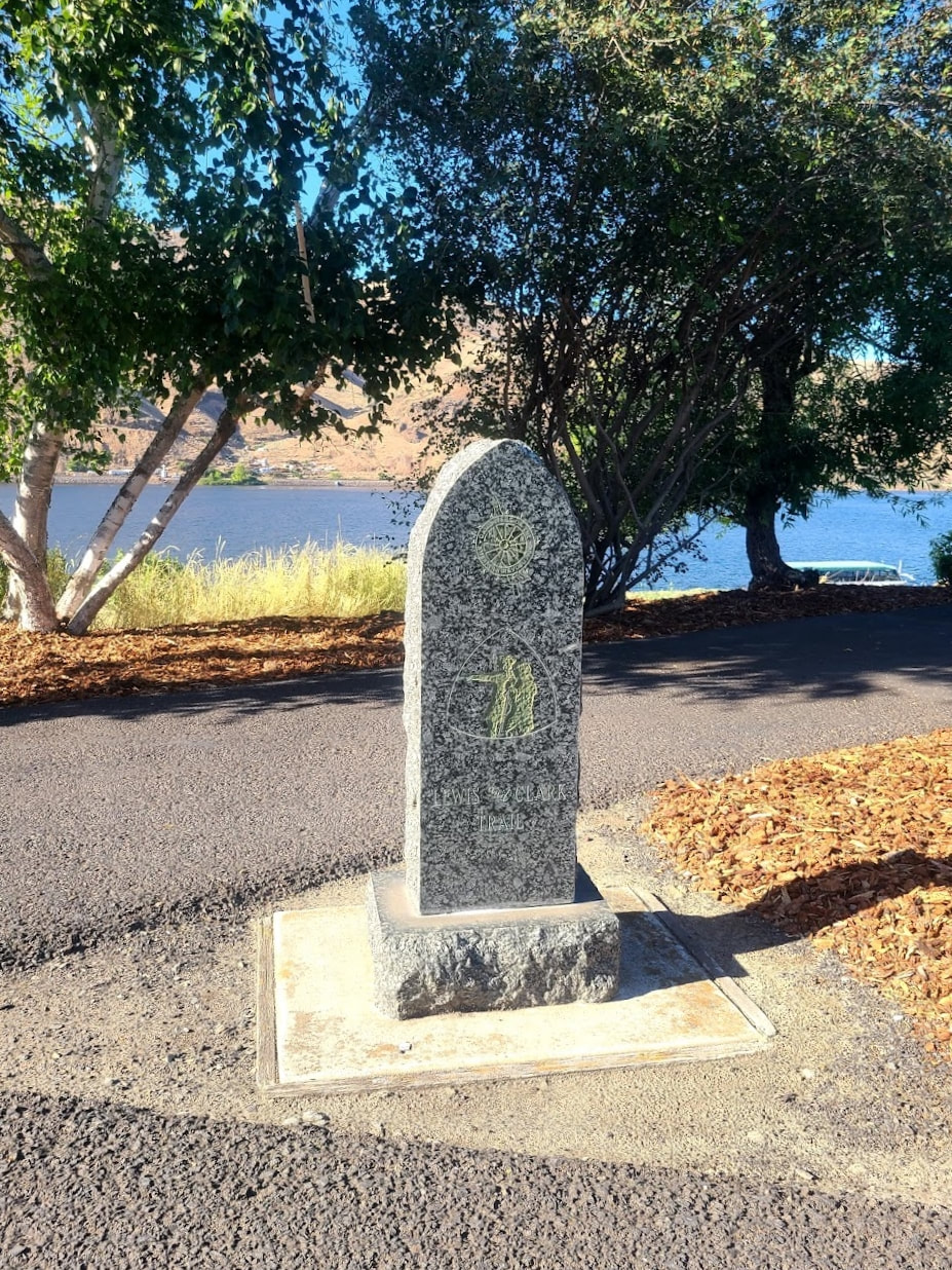
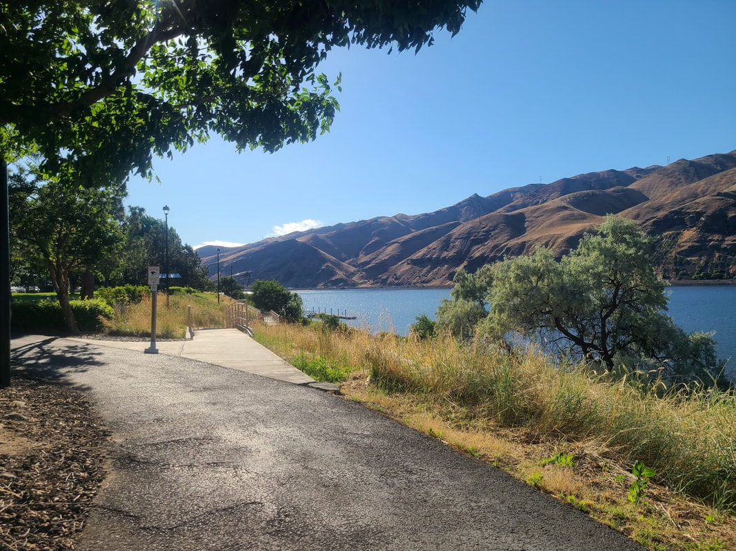
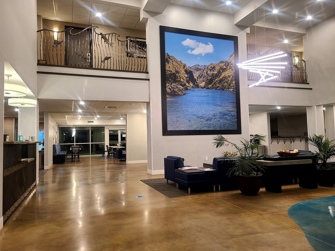
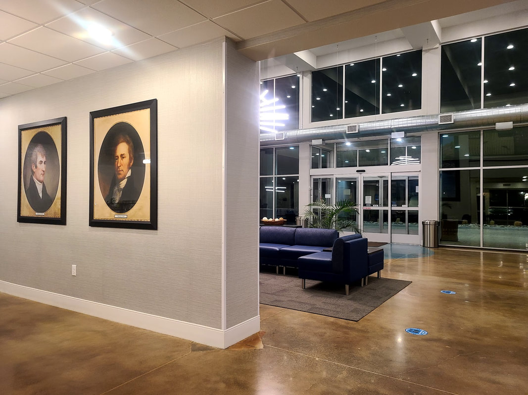
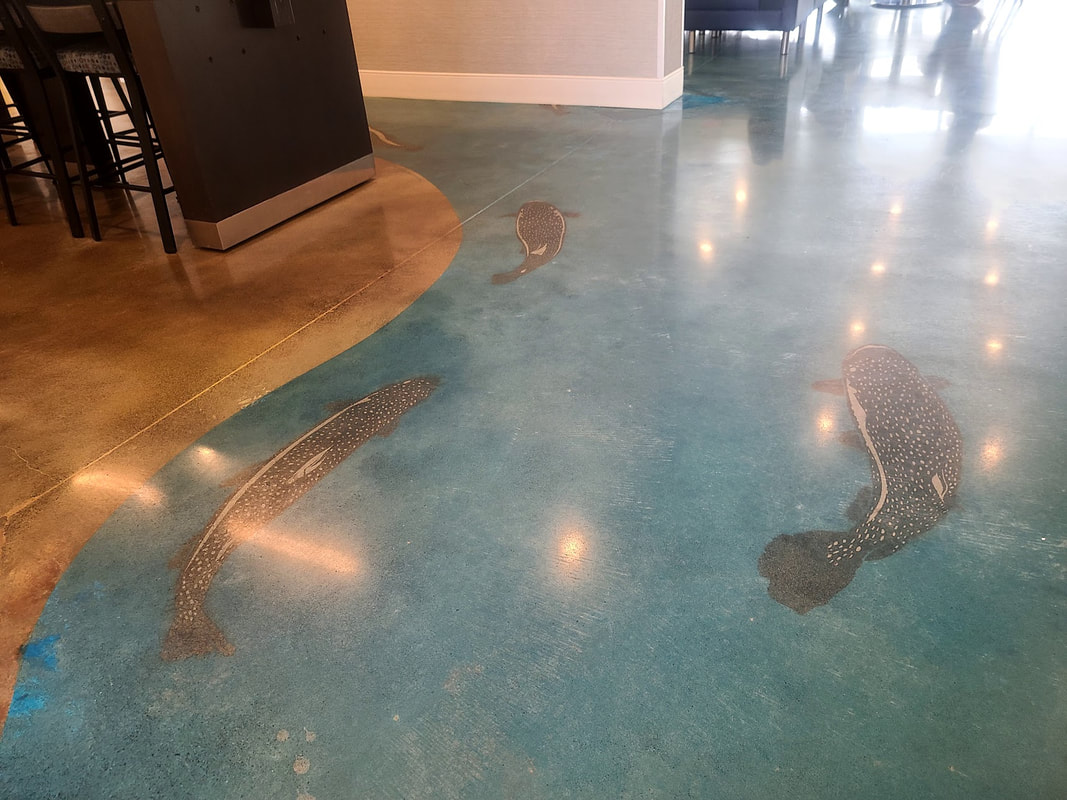
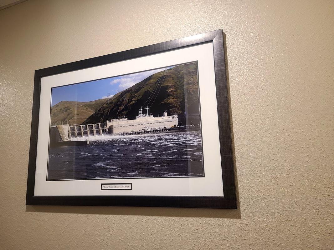
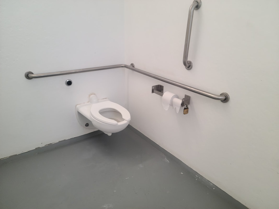
Lewis and Clark Center (or Confluence Center), at the confluence of the Snake & Clearwater Rivers, Lewiston ID (here are a few images--it was necessary to take the photos at odd angles to reduce reflection) The way is paved, as a part of the 12-13 mi levee trail along the Snake and Clearwater rivers, but requires the power of a helper or a motor for a person in a wheelchair to manage the inclines of the accesses. On one of my trips I was blessed by a kindly person who volunteered both her time and trouble to help me, and on the other I had an electric wheelchair. The levee trail offers wondrous views of the rivers.
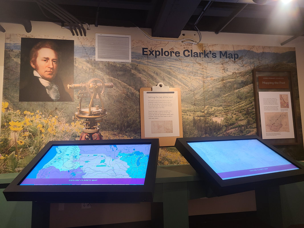
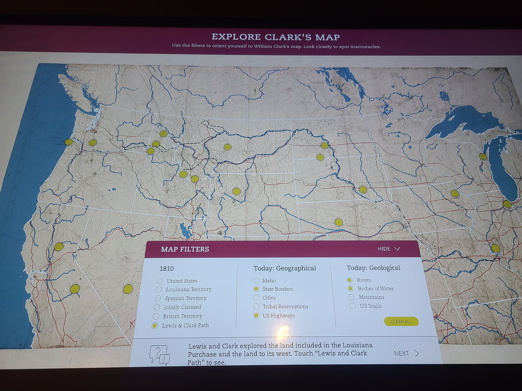
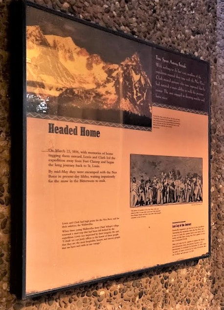
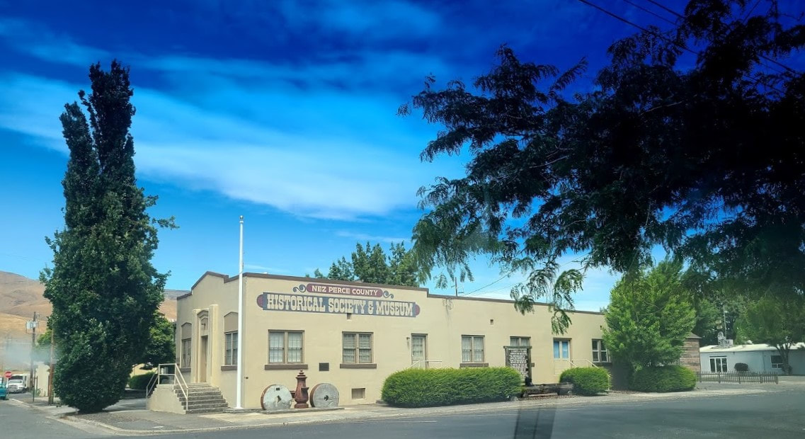
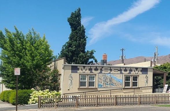
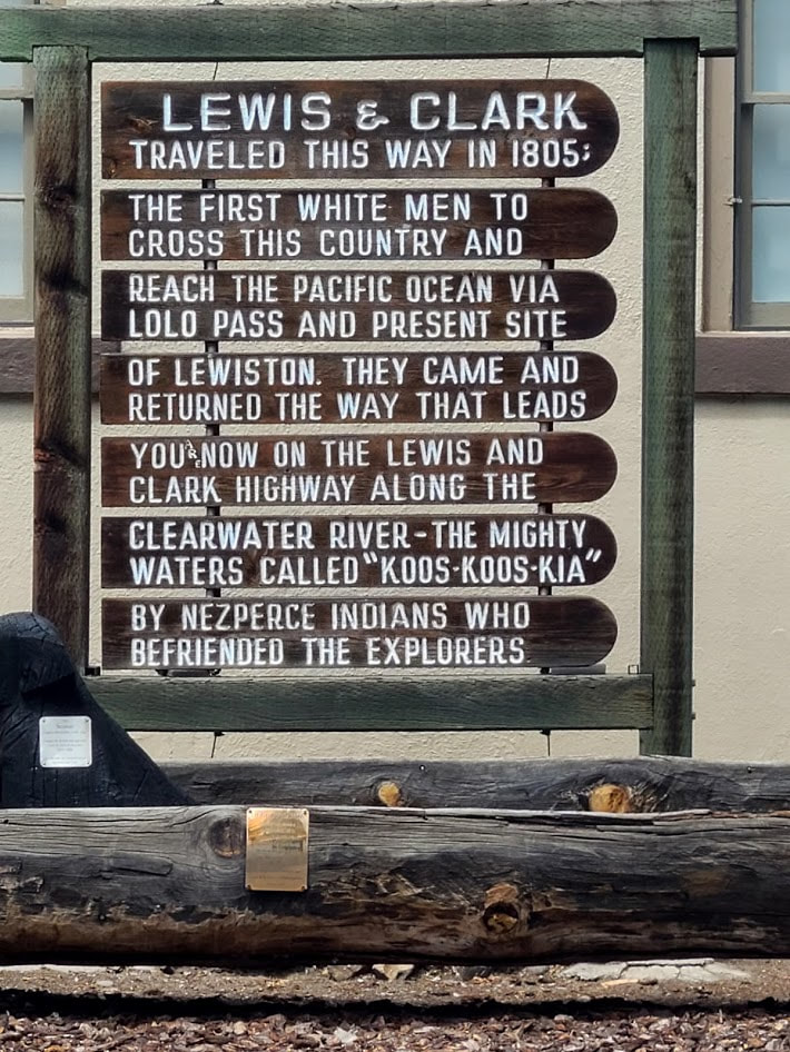
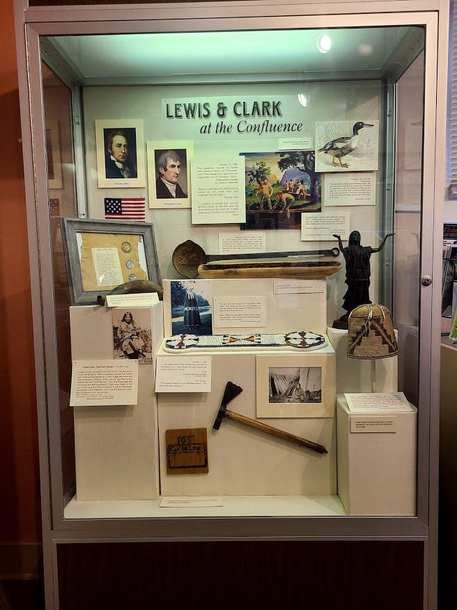
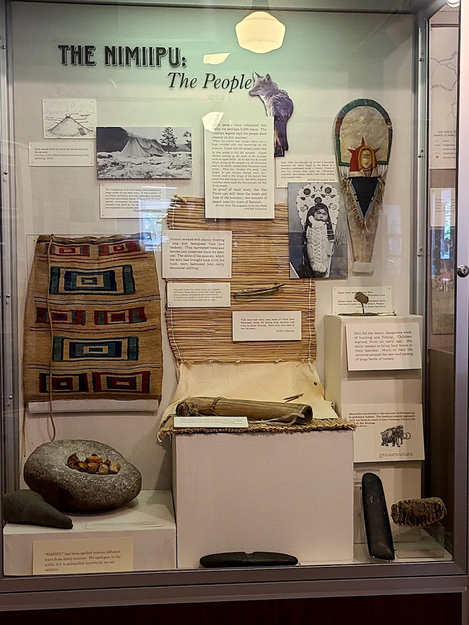
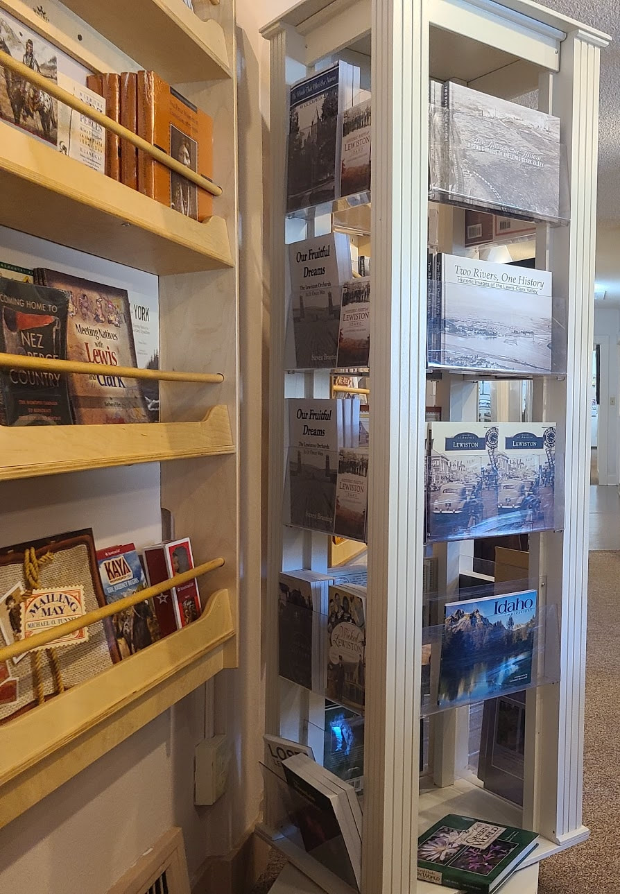
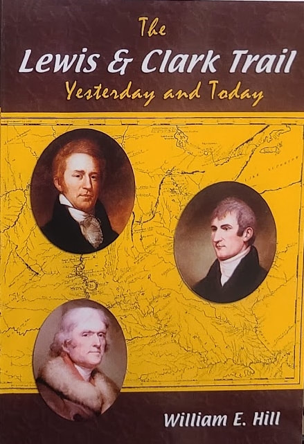
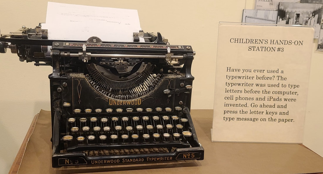
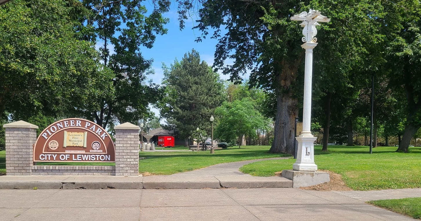
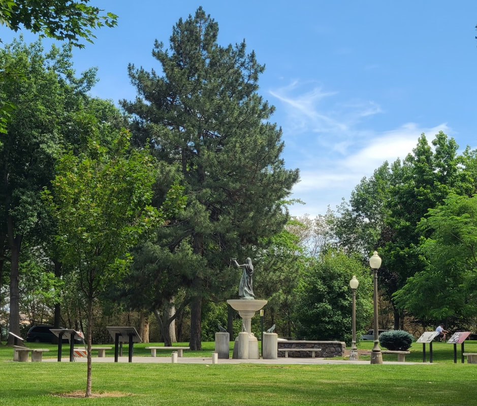
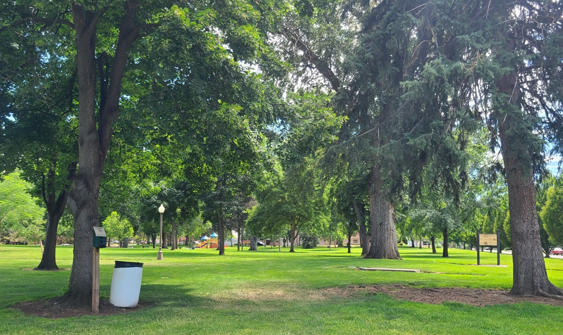
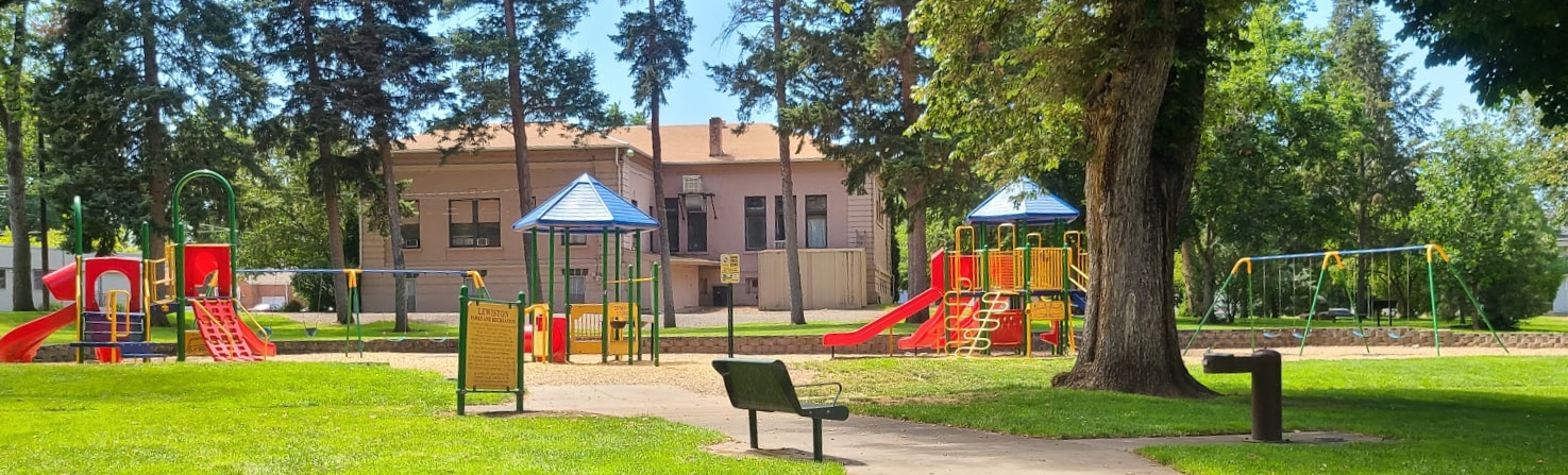
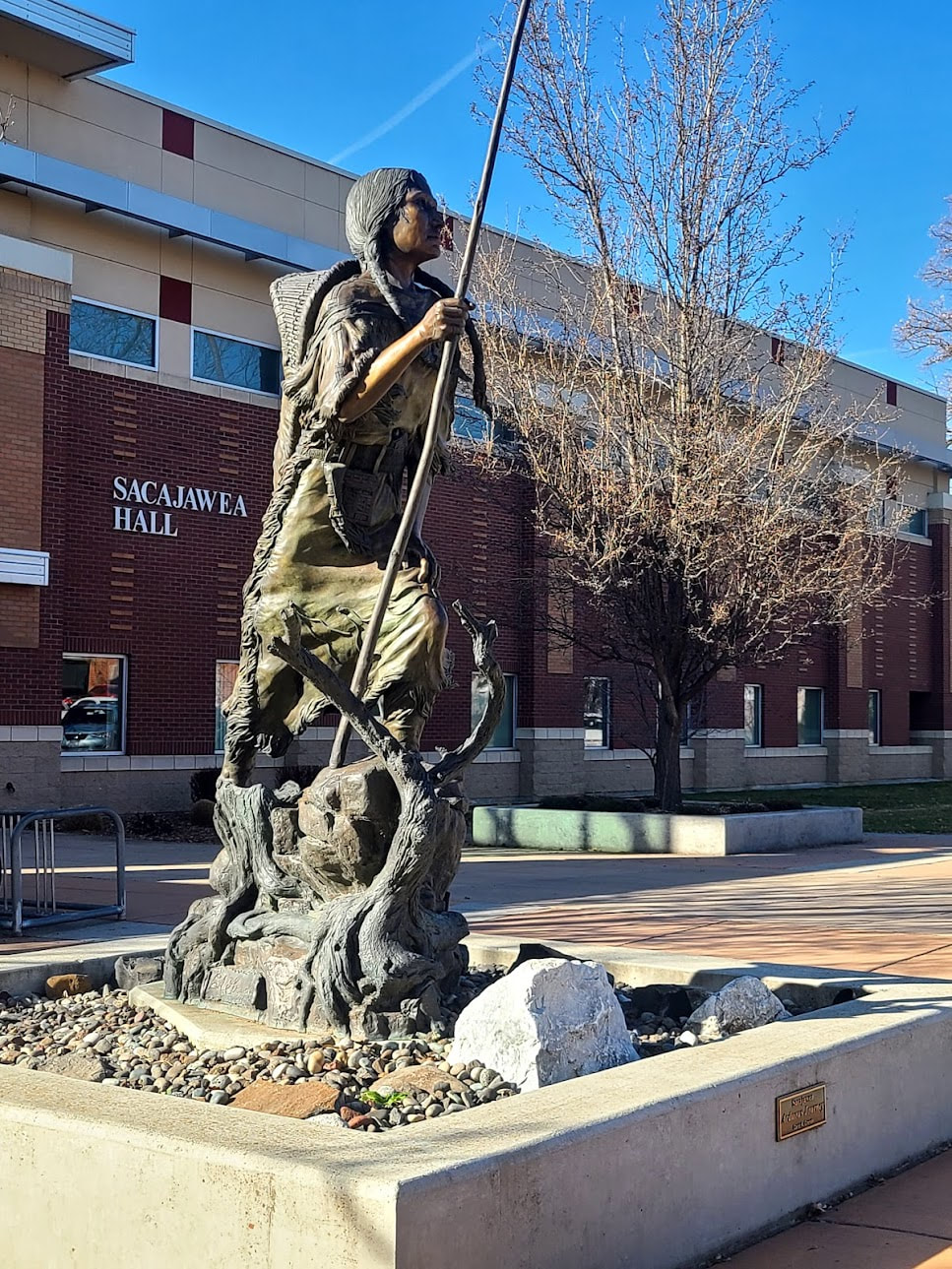
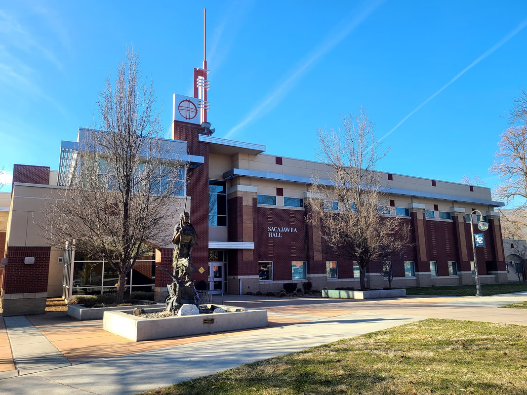
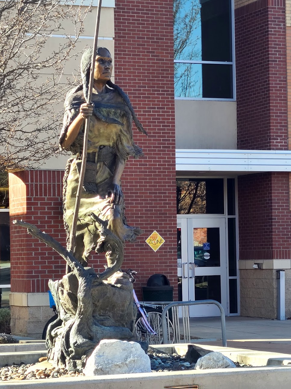
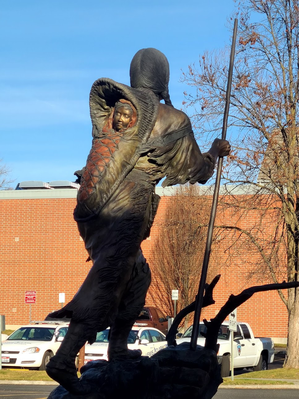
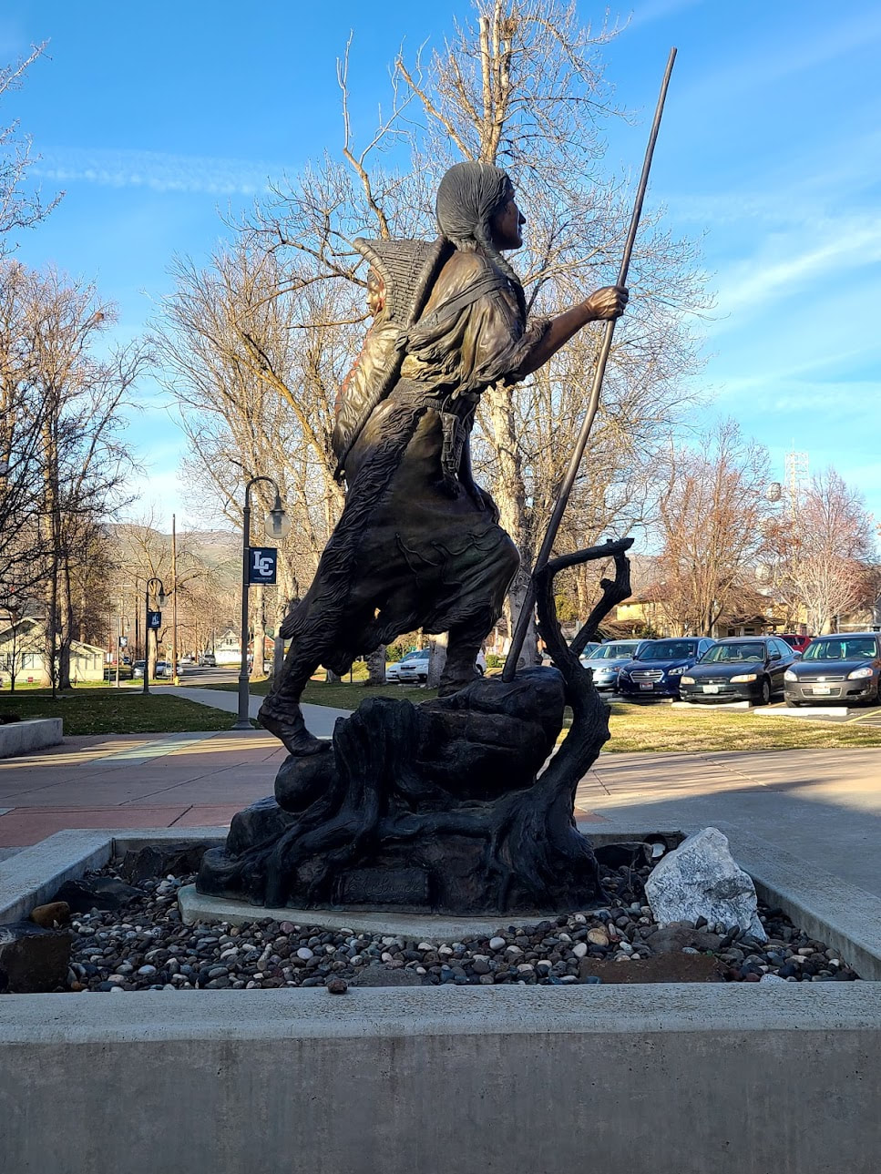
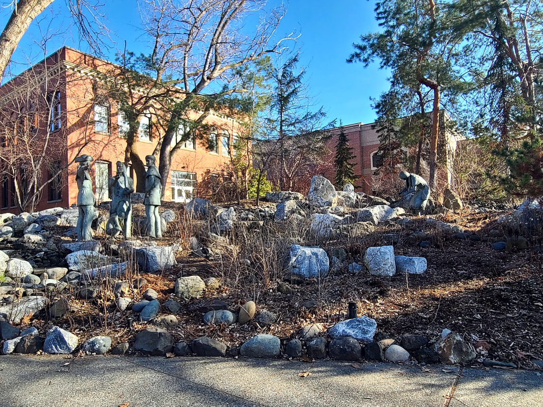
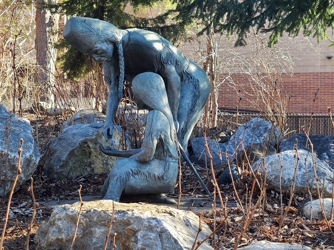
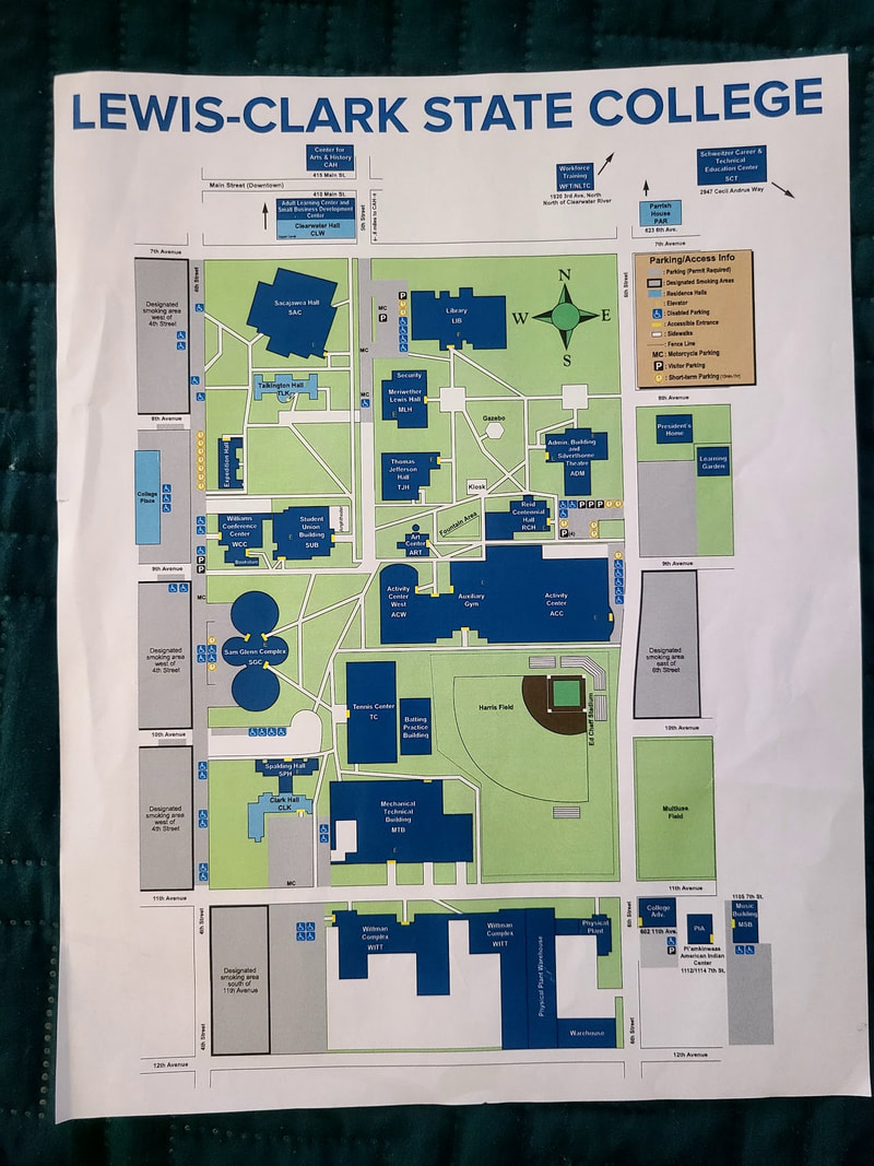
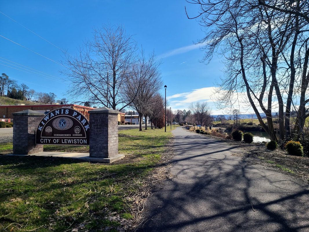
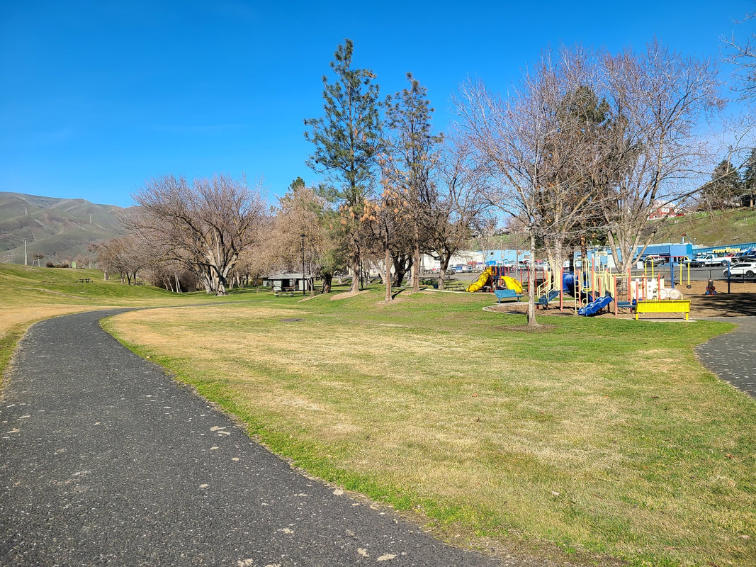
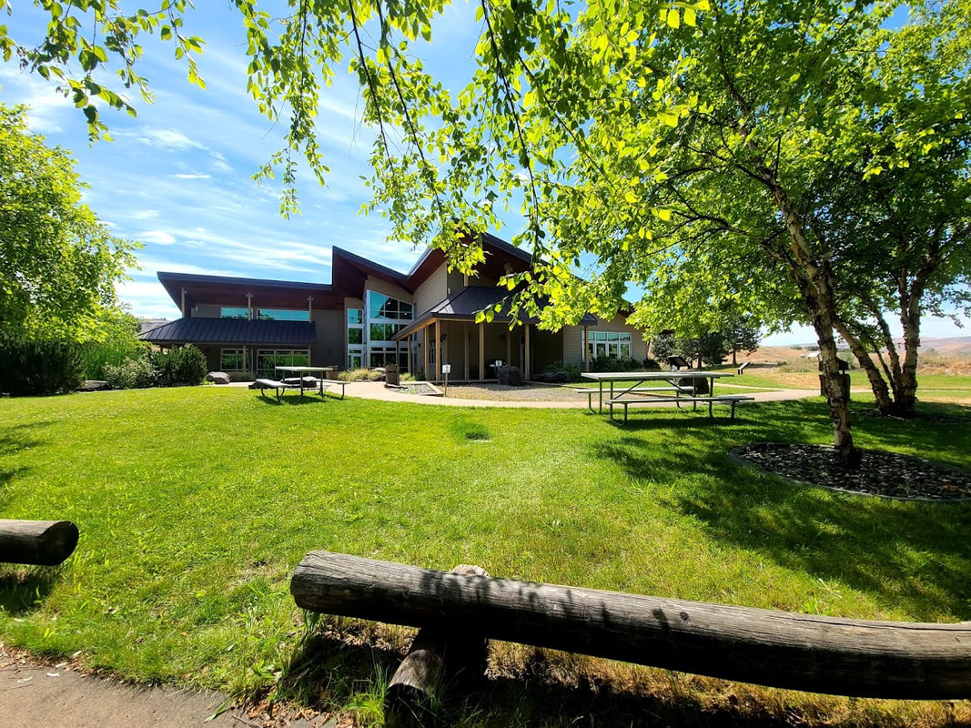
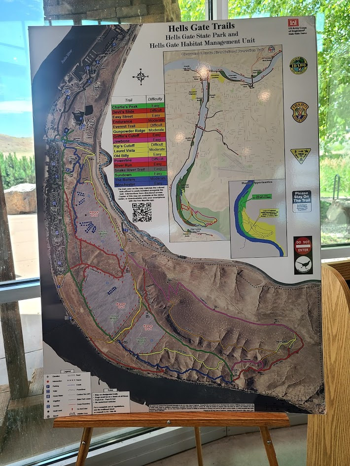
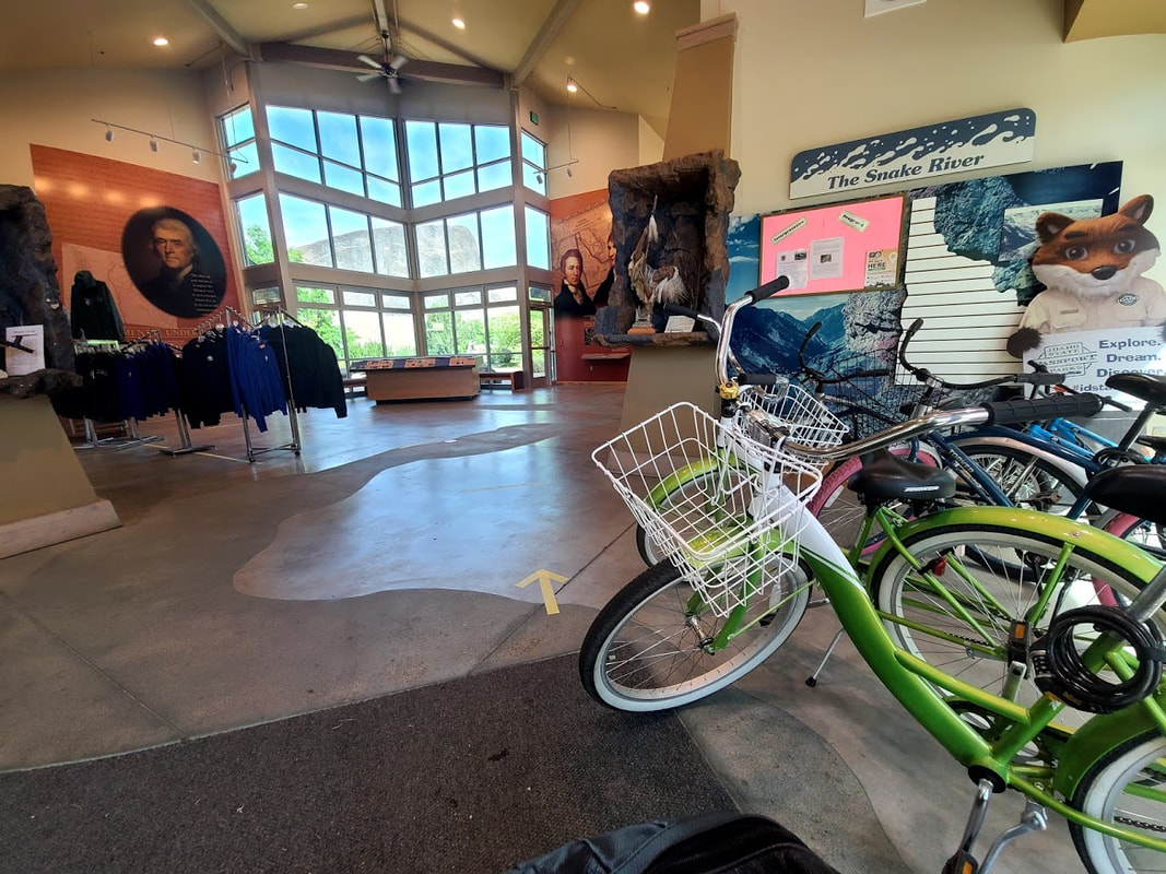
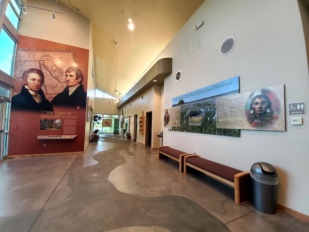
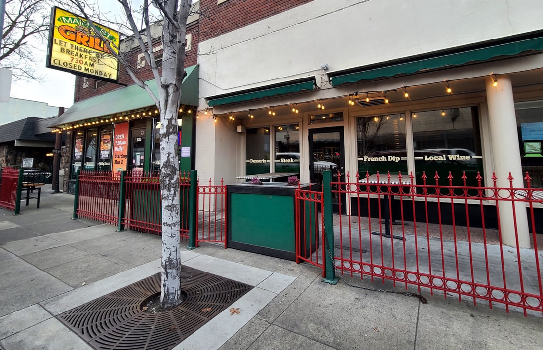
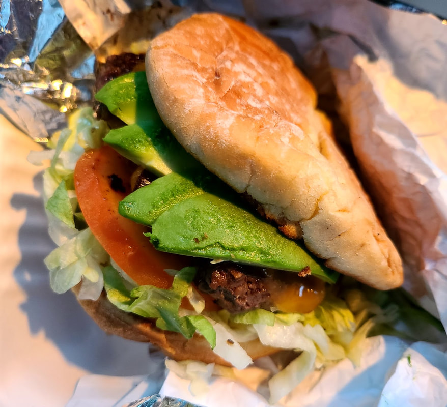
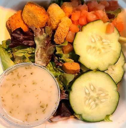
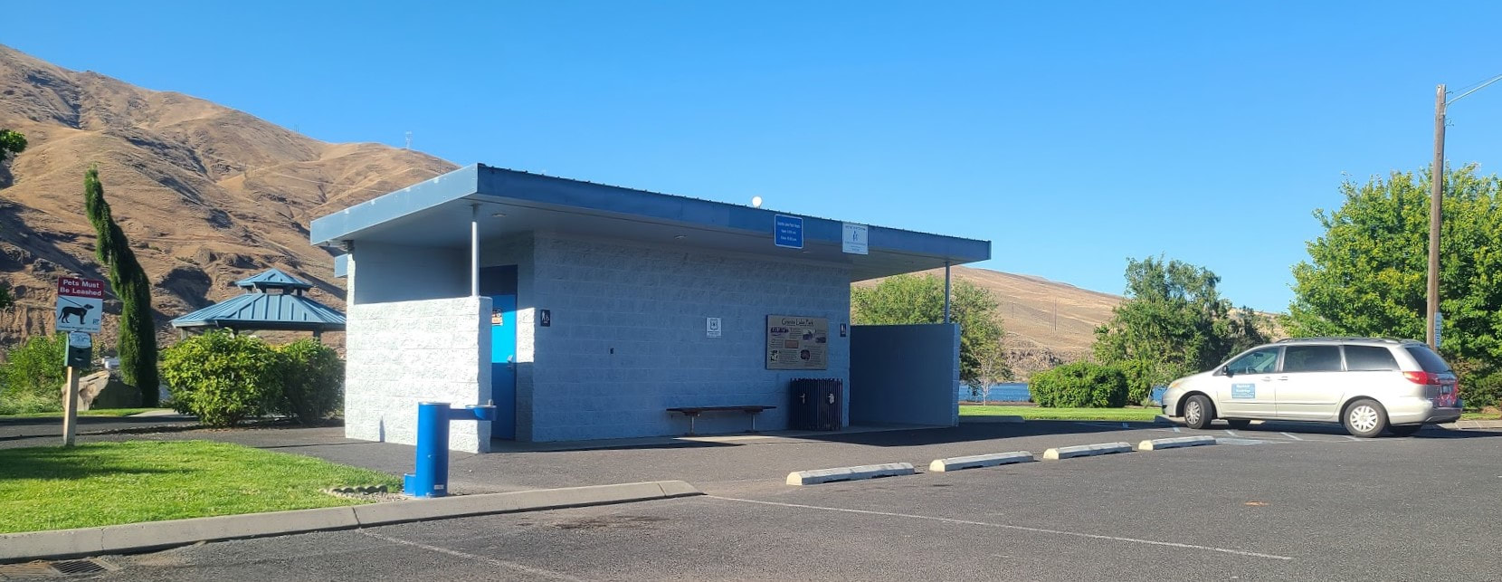
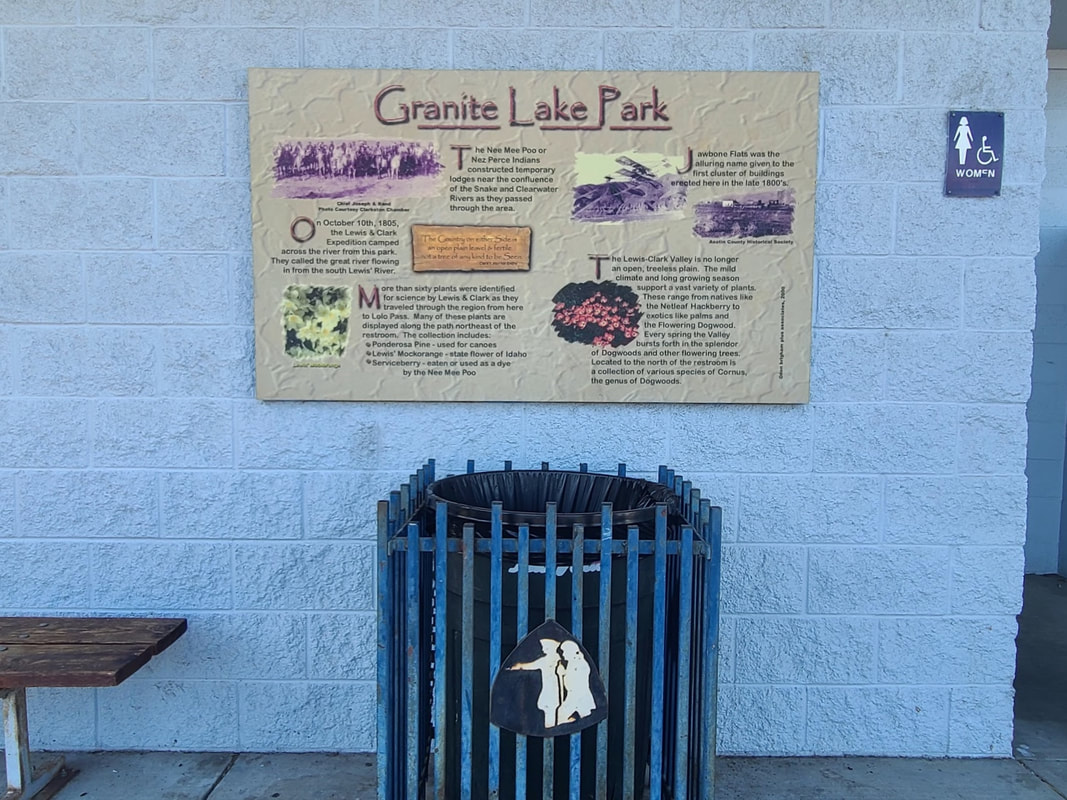
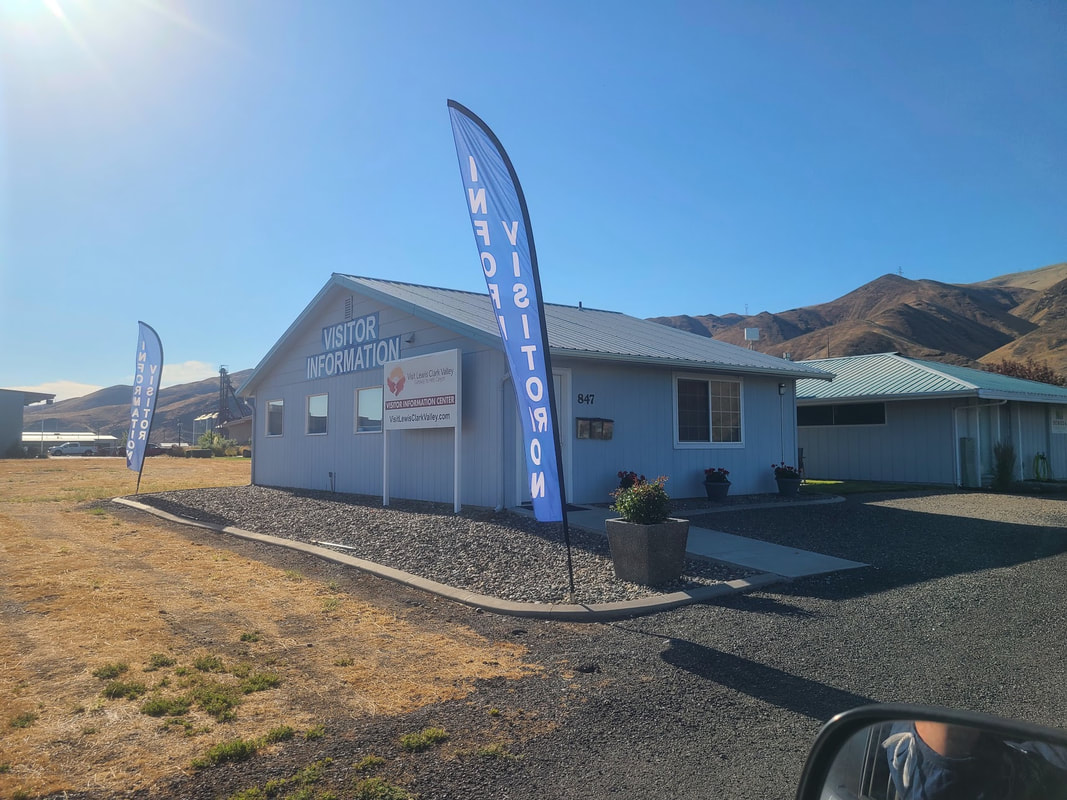
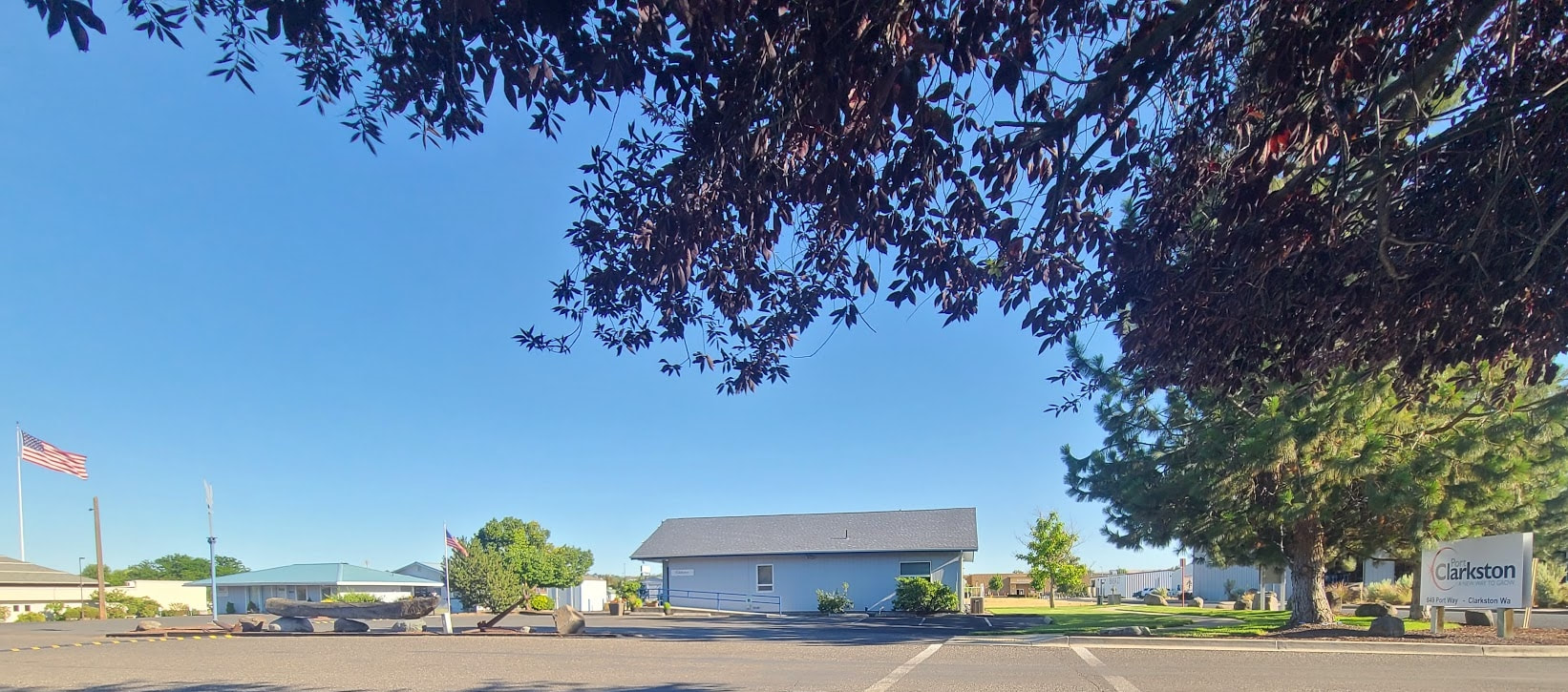
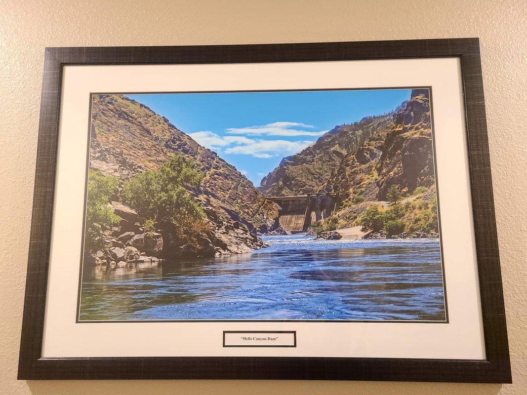
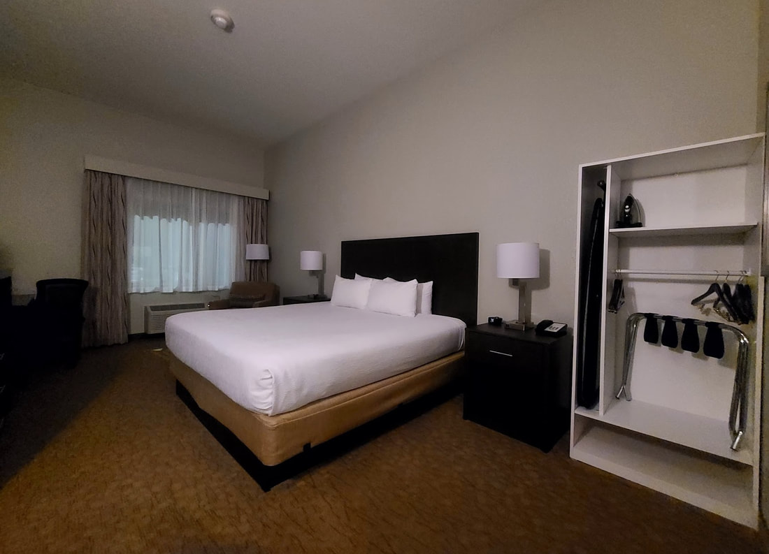
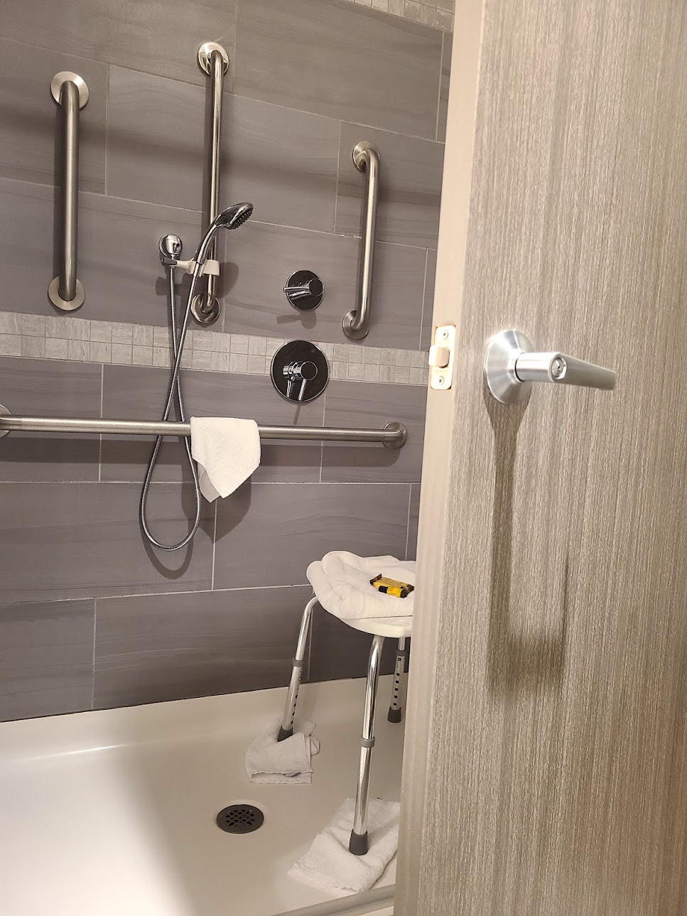
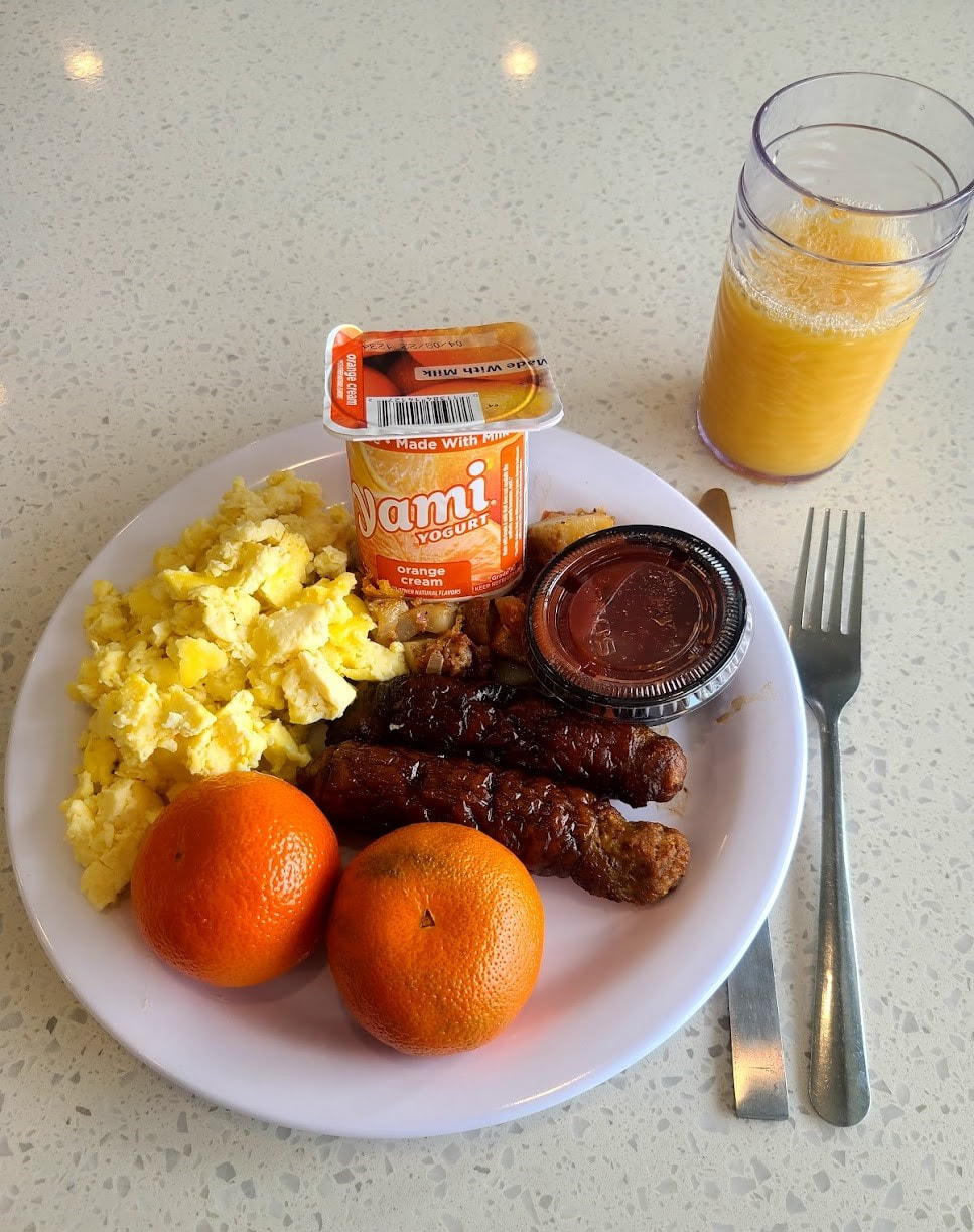
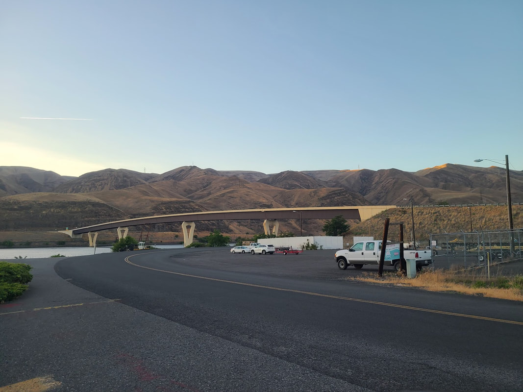
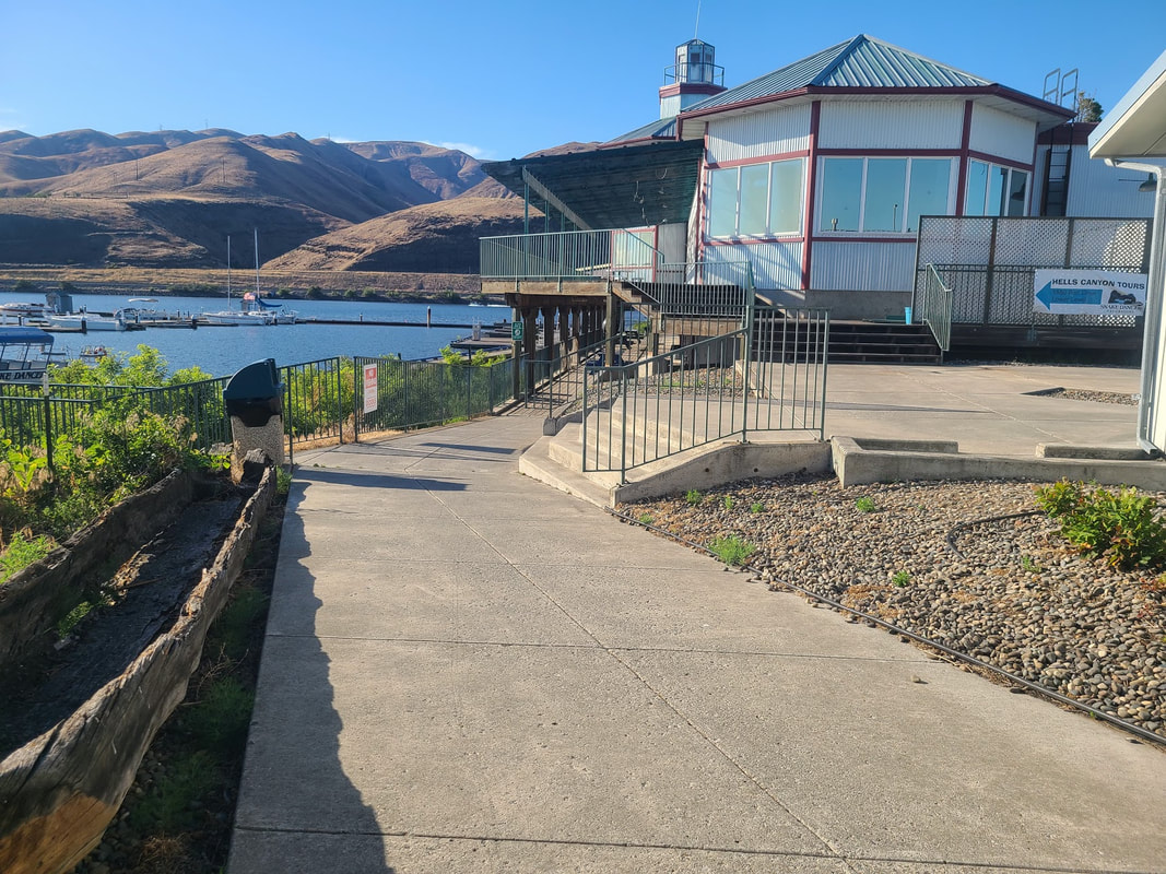
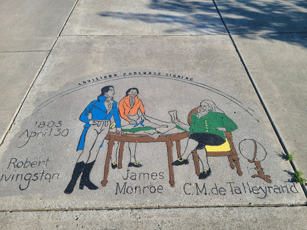
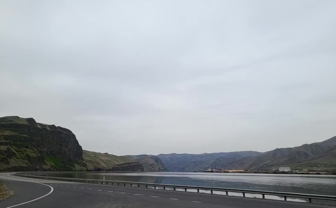
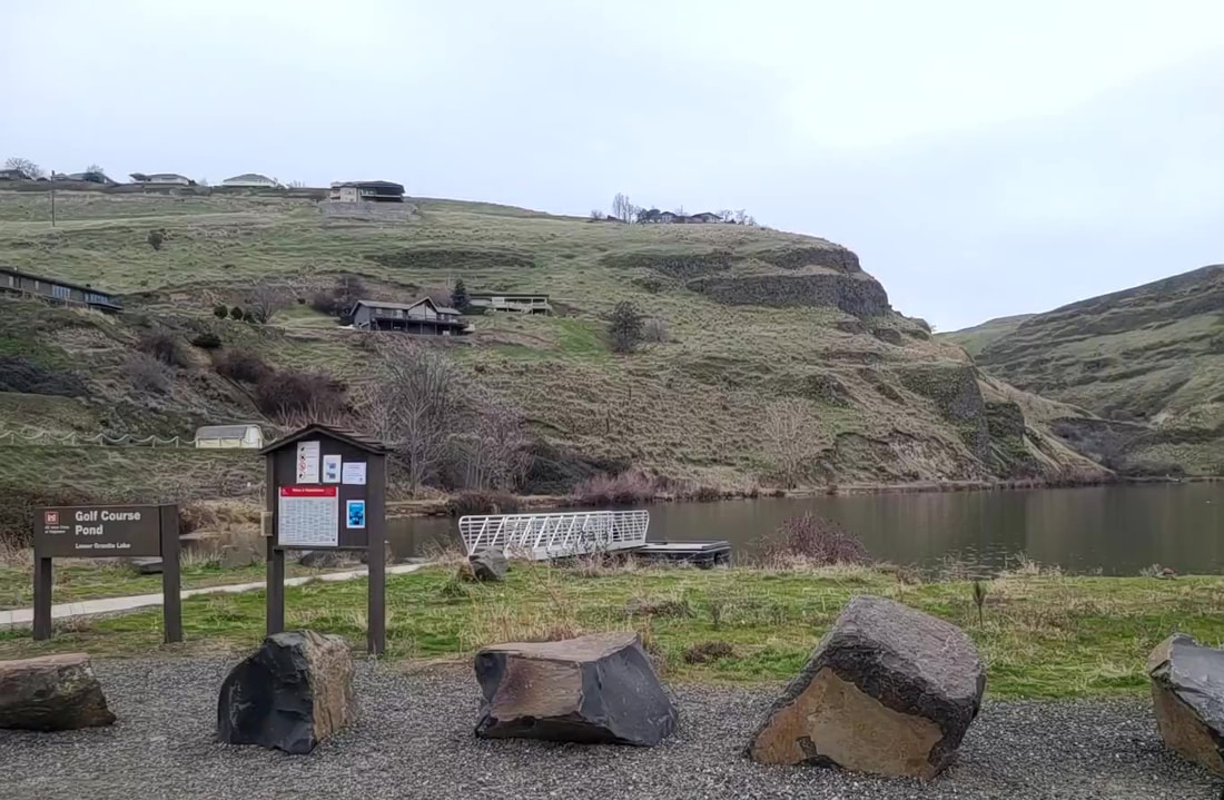
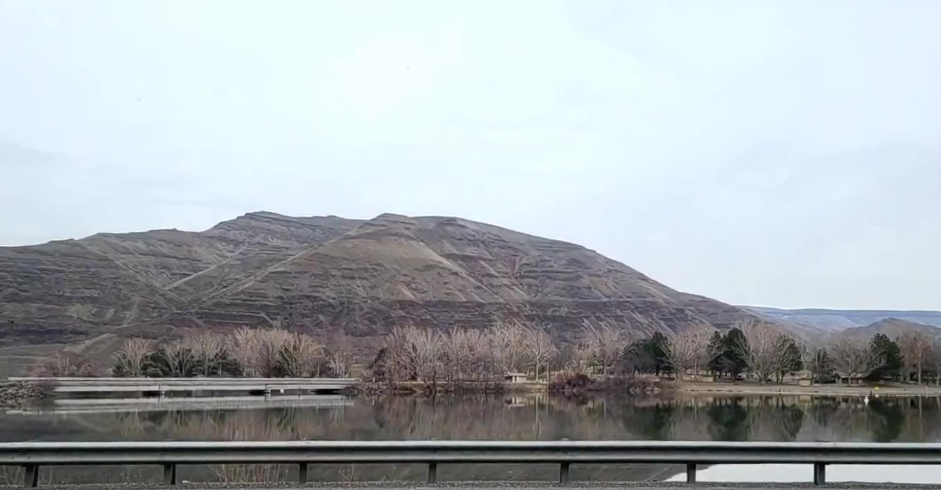
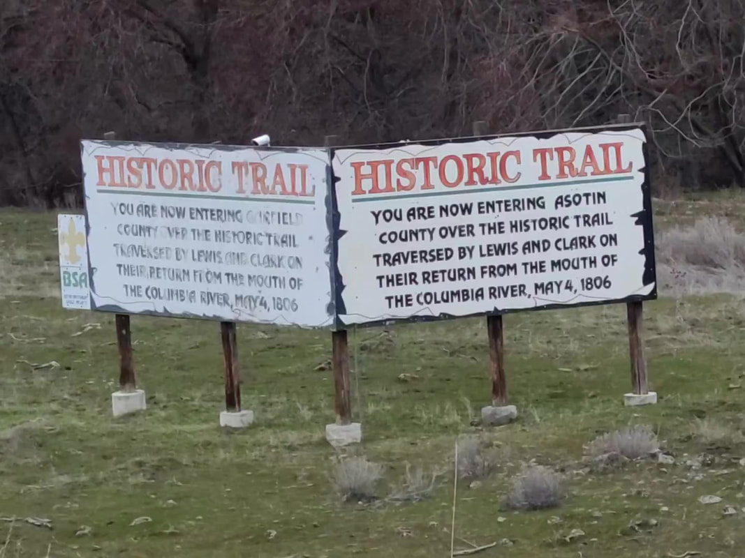
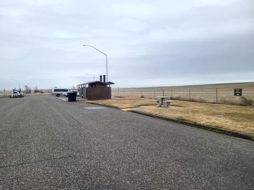
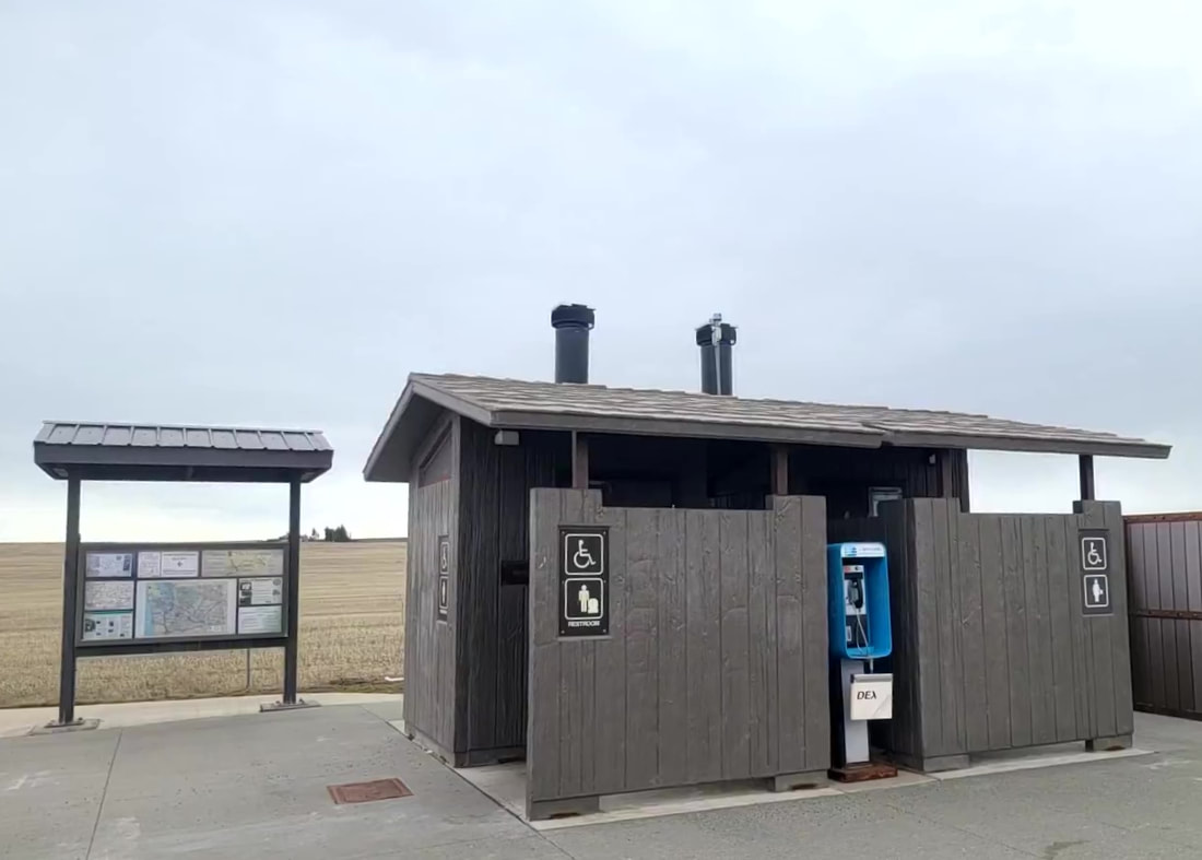
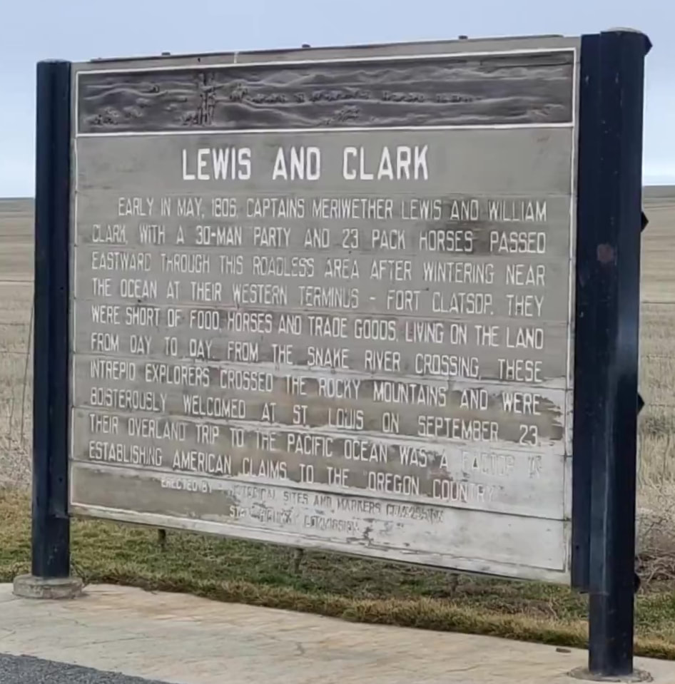
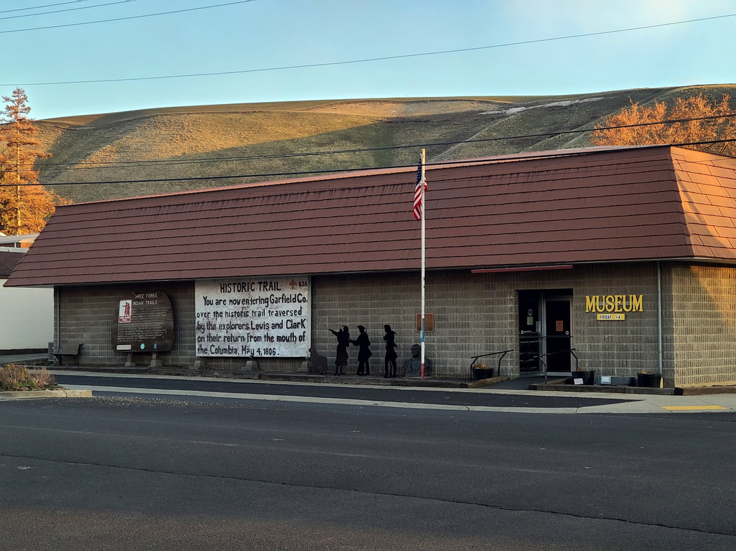
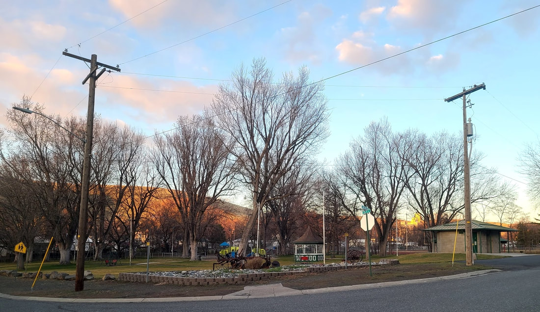
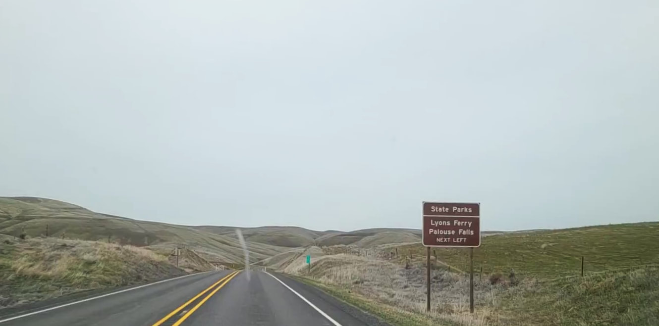
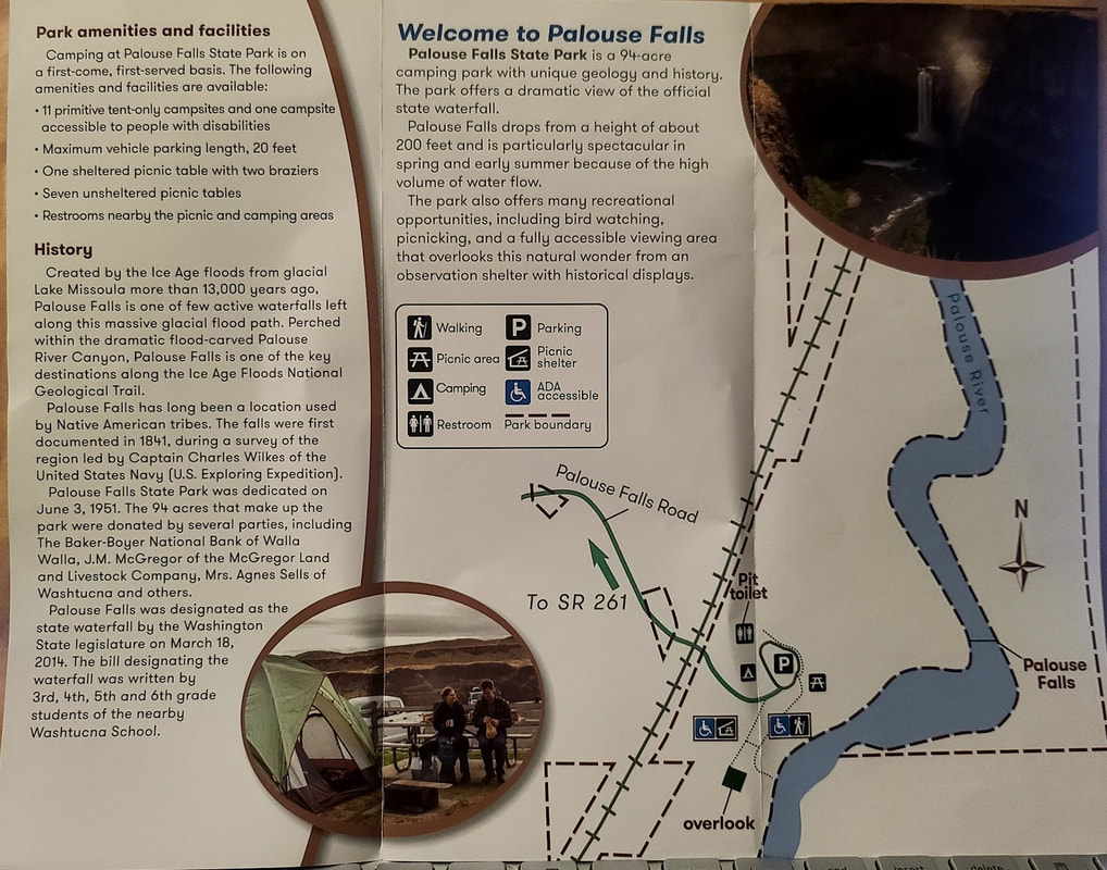
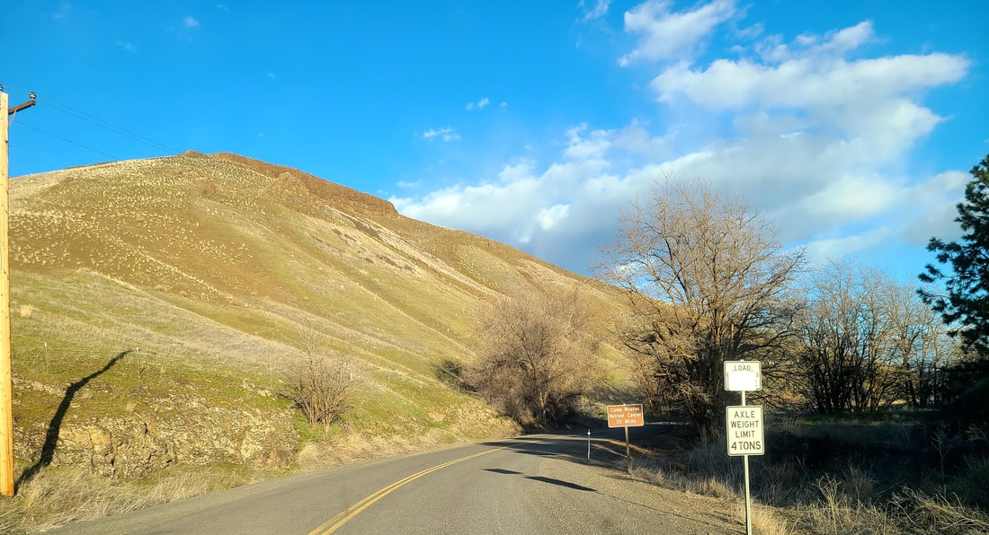
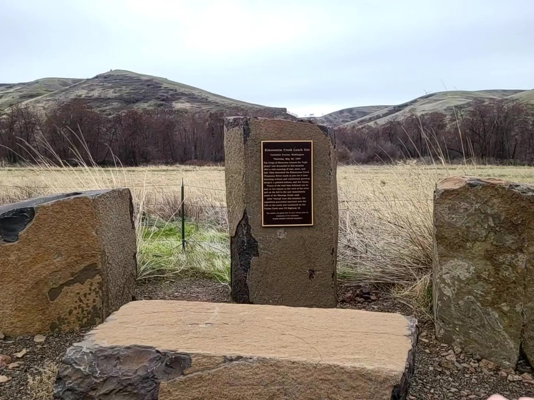
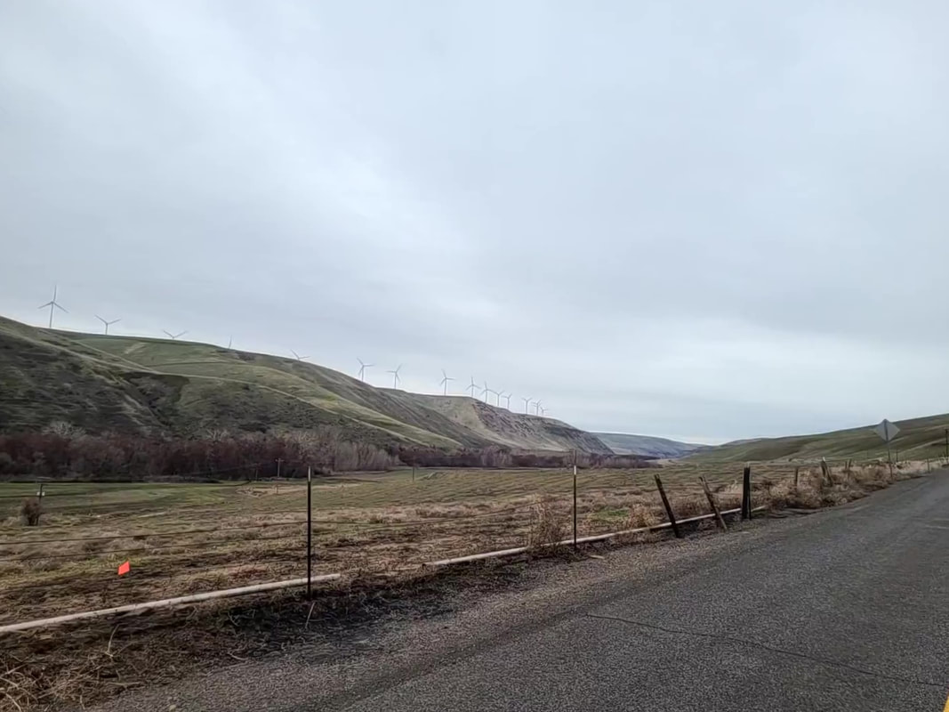
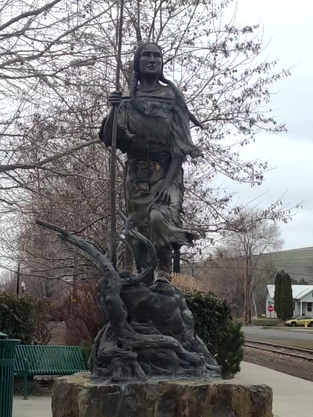
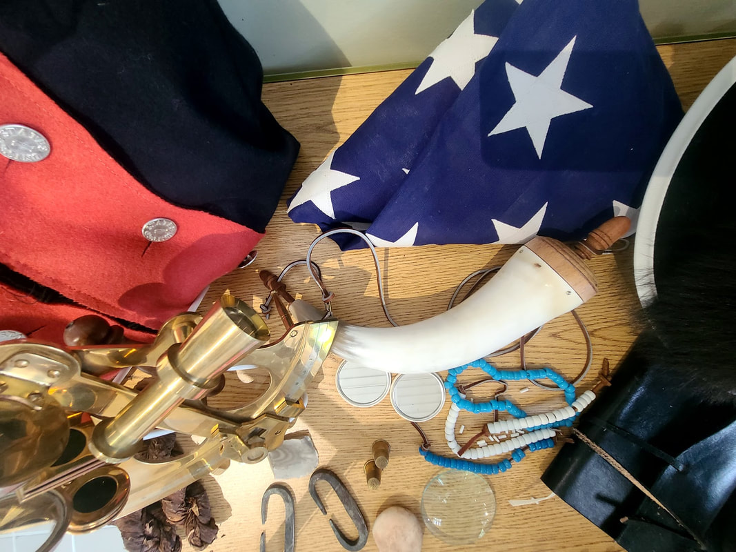
Nez Perce County Historical Museum, Lewiston ID (the parts that apply to Sacajawea/Lewis & Clark) This museum complex has so much to explore! And they have taken care to have great interactive exhibits for kids, helping them get a real feel for history. Visited June of 2021. Pioneer Park, Lewiston ID This park not far, up the hill on 5th from City Center. Beside a Sacajawea statue and interpretive signs, a playground and plenty of running room, picnic tables, band shell, and restrooms, event hosting, it has benches overlooking the city and hills beyond. PDF of Lewiston City parks with addresses, acreage, and amenities A few photos from my visit in June of 2021: Lewis-Clark State College, Lewiston ID I had tried to get photos of the Sacajawea statue on campus when I traveled to Lewiston in June of 2021, but in March of 2022 I found a complimentary handicapped visitor parking space right across from the statue, so got out to get better photos. I'm so glad I did! I found more great statues, and the halls named after Lewis, Clark, Jefferson, beside Sacajawea Hall. As is often the case, the campus has great old architecture as well as modern. I intend to inculde more photos in a later post, but here are some especially relevant to Lewis & Clark. Kiwanis Park, Lewiston ID "One of Lewiston’s premier parks this is a beautifully designed area next to the Clearwater-Snake River National Recreational Trail. The park includes Mtn. Dew Skate Park, playground equipment, and picnic tables and shelter. There is plenty of shade for hot afternoons and it’s just a short walk to the Snake River. Kiwanis Park is a location of choice for local fun runs, and events of all sorts." This has one or more access points to the levee trail, which offers wonderful views of the Snake and Clearwater rivers, but I was very glad in 2022 to have an electric chair, as I was on my own, and to get to the crown of the levee would have been impossible without it. Kiwanis park stretches from about 3rd to 11th along the Snake River, and diagonally opposite on 11th food trucks are parked. Address, map, and links to visitor guides: Lewis and Clark Discovery Center, Hells Gate State Park, Lewiston ID (more to see in person, of course) This was a really awesome place to visit, both indoors and out, as well as to get information. Down the road are boating/jetboating access, a campground, and day use area (all requiring fees). For info and photos of jetboating Hells Canyon, get to the bottom of Meriwether’s Bistro, located in Hells Canyon Grand Hotel--621 21st St, Lewiston ID In June of 2021 I found "cedar-planked potlatch salmon", and thought that appropriate for a core of discovery in Lewiston ID. The Hells Canyon Grand Hotel is grand. I arrived at The Meriwether's Bistro after dark, yet was able to be seated with no reservations. They had mood-setting lights in the outdoor dining space and a good band was playing. The waitress was friendly and helpful (I needed a table situated where I could plug in and recharge my phone). The "plank", served with the salmon atop, was rather small and thin. Never mind that, it was still delicious. Planked Potlatch -Planked Potlatch Salmon Bison Burger at Main St Grill, 625 Main, right downtown Lewiston ID In March of 2022 I hoped I might find some native American snacks at The Nez Perce National Historical Park Visitor Center, or somewhere. Maybe there's a place to find something like bison jerky, native nuts/berries/seeds. Next best was to find a Bison Burger at Main St Grill in Lewiston ID. Any of their burgers can be made a bison burger, so I chose the Avocado Bacon Burger (as far from native food as that is--it's just a nod in that direction), and a side salad instead of fries (for the sake of diabetes). I found a parking spot in front of the restaurant and ordered it by phone (because I could not deploy my van ramp: it would be right in the one-way street); the friendly and kind young woman delivered my food curbside. Clarkston WA 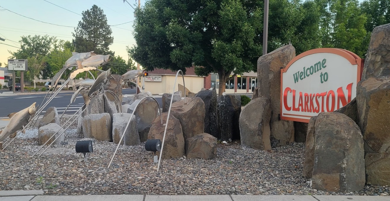 Granite Lake Park, Port of Clarkston, Visit Lewis Clark Valley office "This six-acre park is located in the Port of Clarkston. It is landscaped with plants that were native to the area 200 years ago. The park has views of the Snake River and the northern valley hills. There are picnic tables for your enjoyment and paved pathways to take a stroll. You can also access the greenbelt walking path and the dock at Roosters Waterfront Restaurant." In the same area are the Port of Clarkston and the Visit Lewis Clark Valley office. Best Western Inn at Hells Canyon, Bridge Street/Hwy 12, Clarkston WA Not exactly at Hells Canyon, but distances are relative, I suppose. The decor definitely corresponds with the Snake River and Lewis & Clark. This hotel is easy to find, enter, and exit, being right on Hwy 12 aka Bridge St. The lobby is grand, the breakfast area commodious, and they offer not only a nice buffet, but omelets prepared to order. There's a nice gas fire in the dining as well as the patio area. I was pleased to find they had almond milk as well as other choices suitable for diabetics. My room was comfortable, except that I had to fight the bathroom door to maneuver with my wheelchair. I'll save some photos for a later post. Lewis & Clark Timeline at Hells Canyon Resort, Clarkston WA From Bridge St/Hwy 12, turn north at 15th St as if going across the Hwy 128 bridge over the Snake River, but before the bridge watch carefully for the turn to the west to get to the Hells Canyon Resort. Follow Port Dr west to the entrance of the Resort. Just past the buildings, on the right by the water, is the public parking and walkway with the Lewis & Clark timeline embedded in the concrete. Really worth strolling/rolling. Photos below are probably not in order, nor complete. Lewis & Clark Historical Marker Hwy 12 at the side of Red Wolf Golf Club, and Golf Course Pond On the west side of Clarkston WA, Hwy 12, there's a pull-out with an historical marker, the golf course behind it. Just west of that is Golf Course Pond for fishing. The dock looks like it might have a little bit too much of a drop for a solo person in a wheelchair. Might be fine with a helper. West of Clarkston WA, Hwy 12 Chief Timothy Park is an island in the Columbia River 8 mi west of Clarkston WA on Hwy 12, with camping, RV facilities, flush toilets, playground, volleyball, swimming, boating, hot showers in the summer. Lewis & Clark passed through the native village there when Chief Timothy was 5 yrs old. Beyond that a ways is a large Boy Scout Lewis & Clark Trail sign. Hwy 12 leads up into the hills from there (and looking down on the terrain from Google maps could make one dizzy). Alpowa Summit Rest Area--eastbound, Hwy 12 milepost 413, 10 mi east of Pomeroy WA I haven't stopped at the westbound rest stop, I'm not sure it has the interest the eastbound has. Pomeroy WA "Historic Trail: You are now entering Garfield Co. over the historic trail traversed by the explorers Lewis and Clark on their return from the mouth of the Columbia, May 4, 1806," so says the sign on the exterior of Garfield County Museum, a block south of Hwy 12 at 708 Columbia St, Pomeroy, WA. Lyons Ferry/Hwy 261--WA About 20 mi or so west of Pomeroy WA (maybe 12-15 mi north of Dayton WA) on Hwy 12 is the intersection with Hwy 261 to Lyons Ferry State Park. Drive up Hwy 261 about 15 mi to Perry WA, where Lyons Ferry State Park is (past Starbuck WA). A monument in the state park mentions Lewis & Clark passing through on their way west in 1805. Further on is the intriguing Palouse Falls State Park. I had so much else to see, and was uncertain how far it was, so left it for another day.
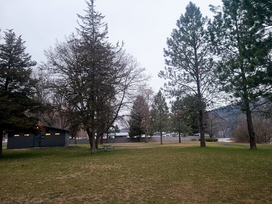
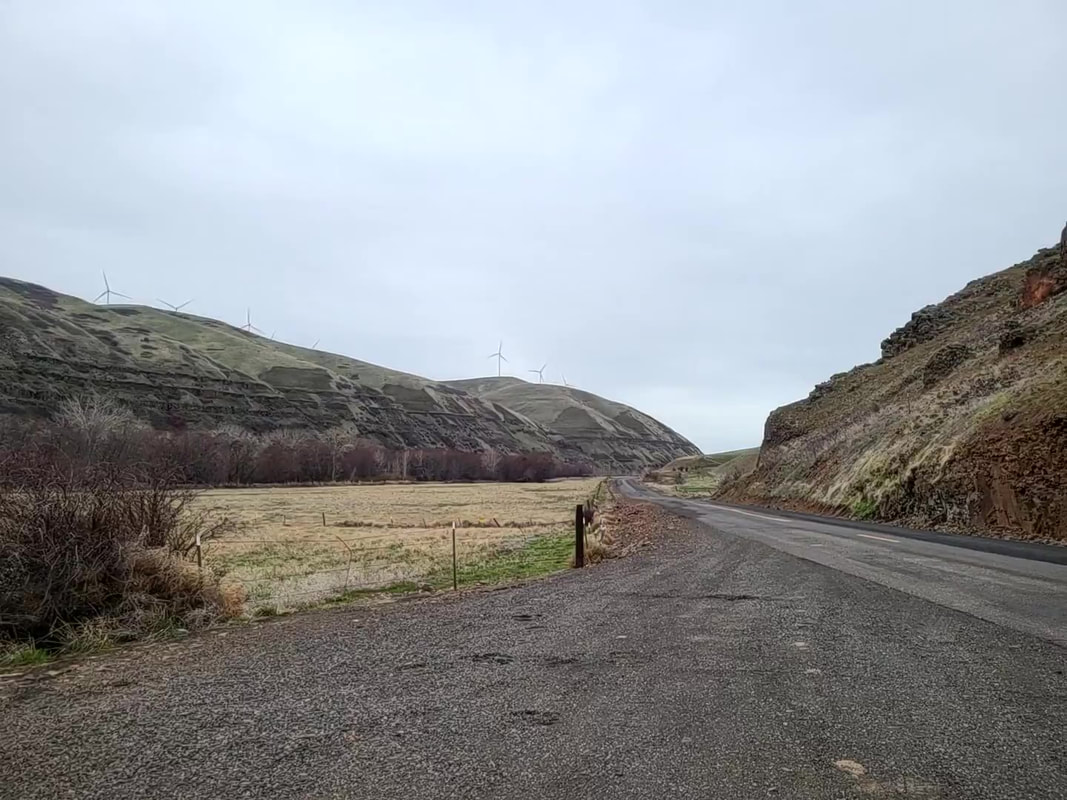
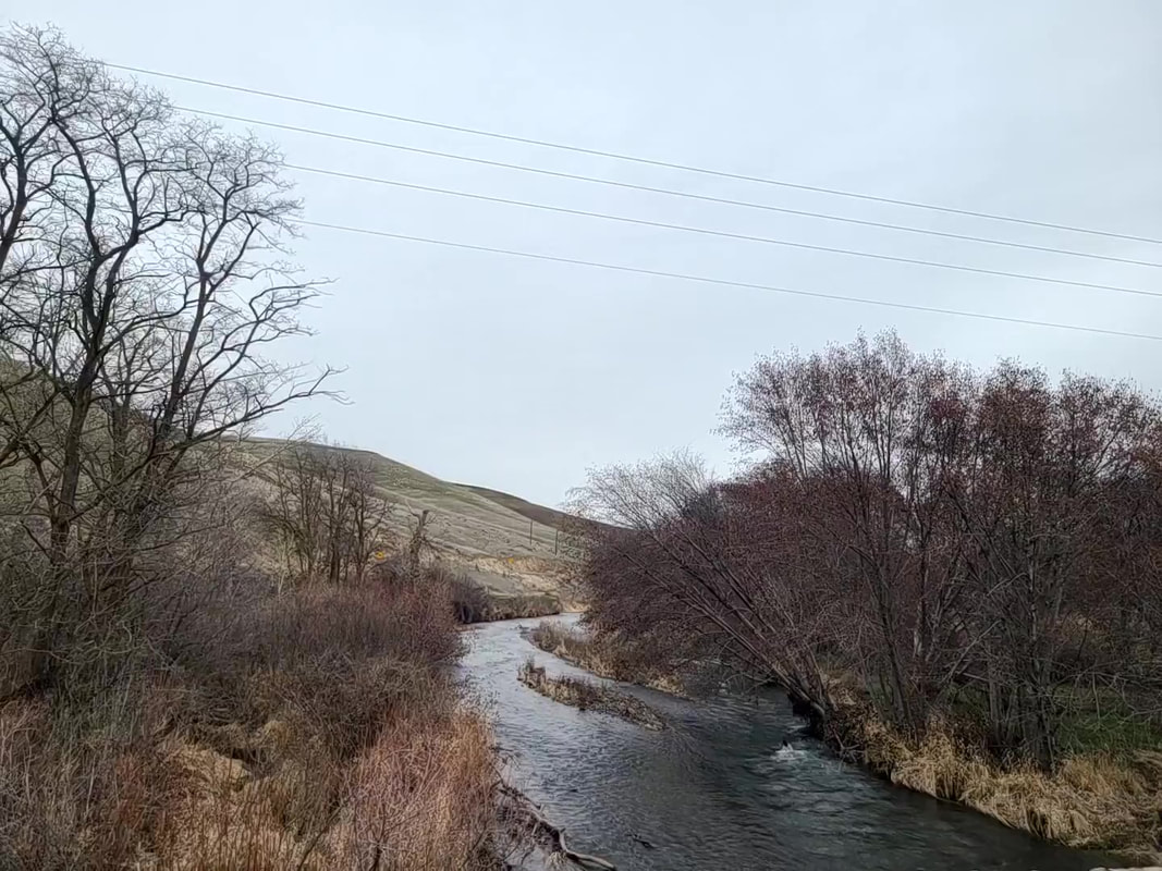
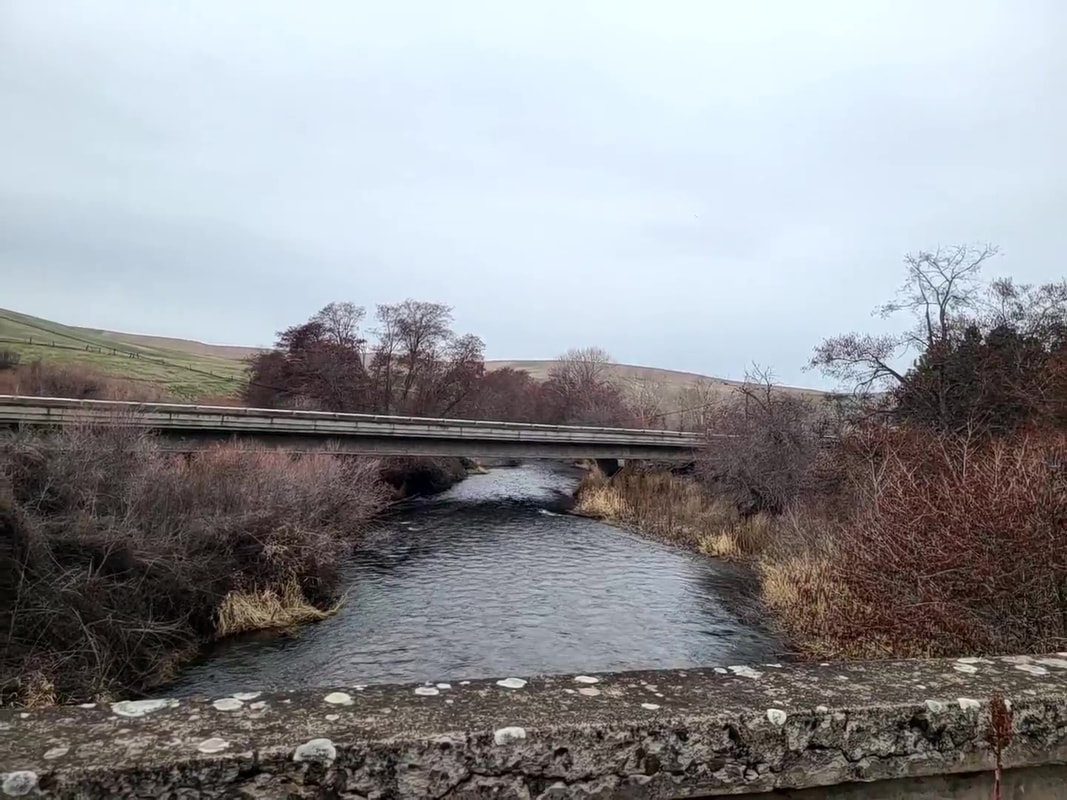
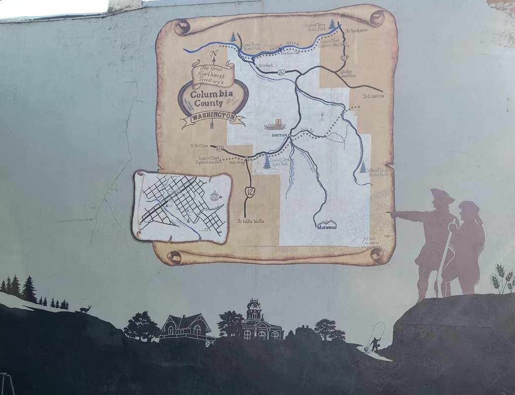
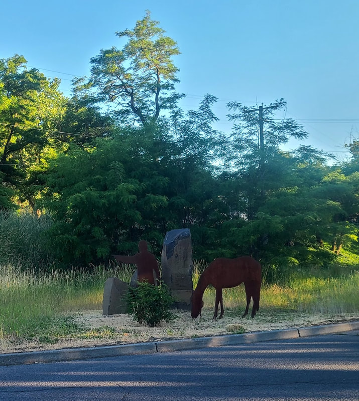
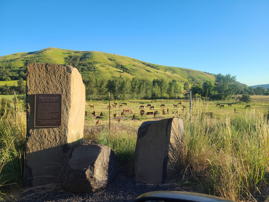
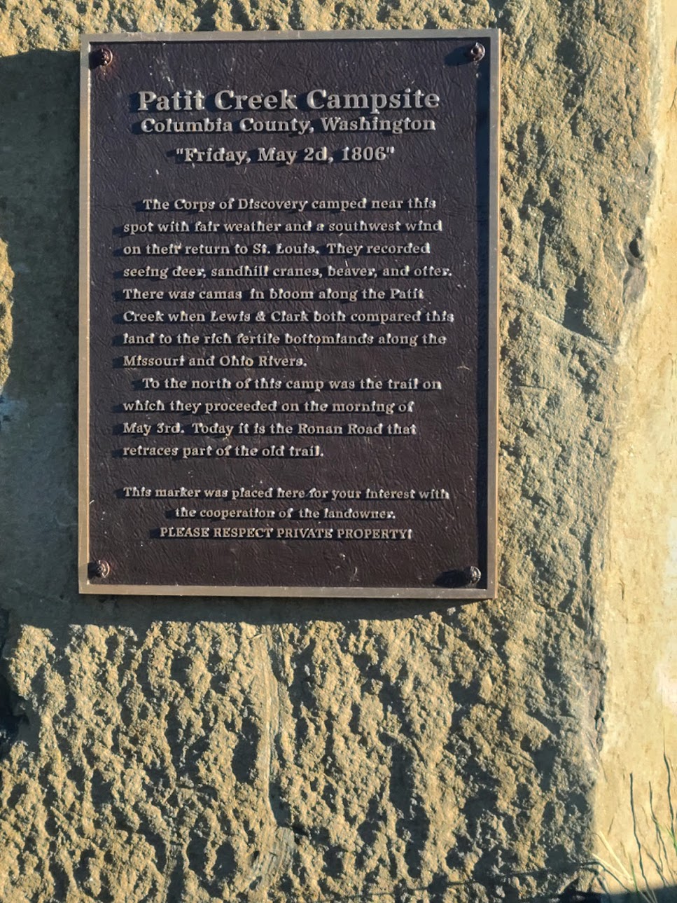
Tucannon River valley WA About 10 miles north of Dayton WA on Hwy 12, there's a sign for Camp Wooten 30 mi up Tucannon River Rd. It's about 10 miles up Tucannon Rd to the Lewis & Clark campsite memorial. It's a narrowish, undulating 2-lane road, but paved and a pretty drive through the valley. No steep hills. Dayton WA Dayton is an appealing town with a lot of history, including Sacajawea and the Lewis & Clark expedition. I came through in both June of 2021 and March of 2022. I intend to publish more photos of the place in a later post.
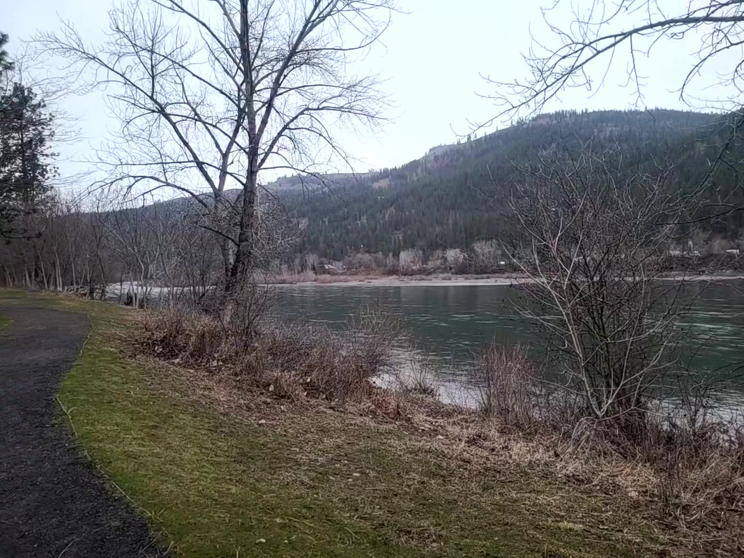
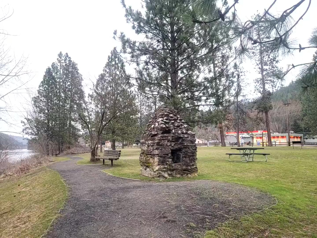
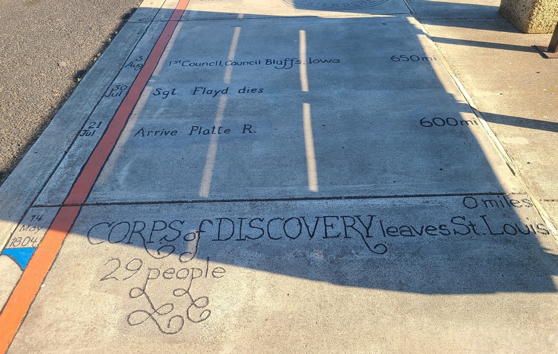
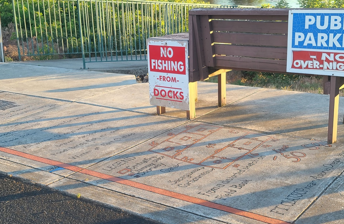
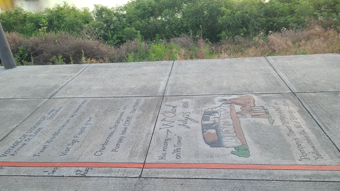
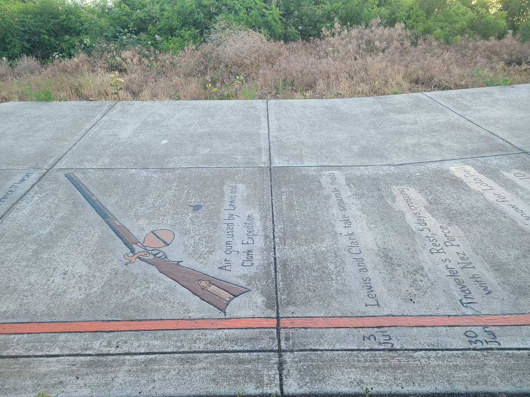
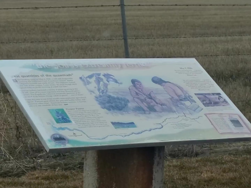
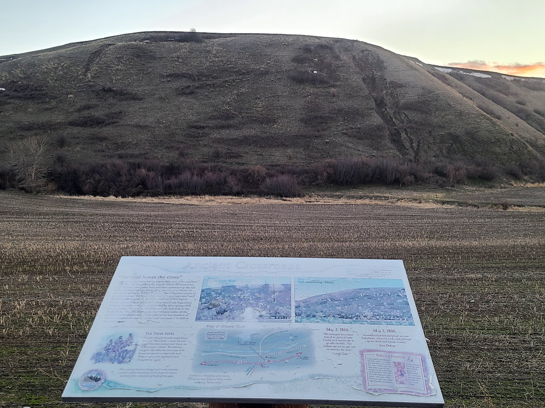
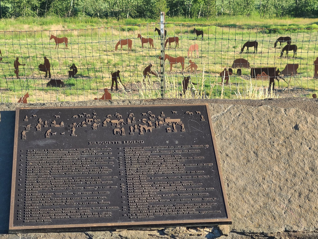
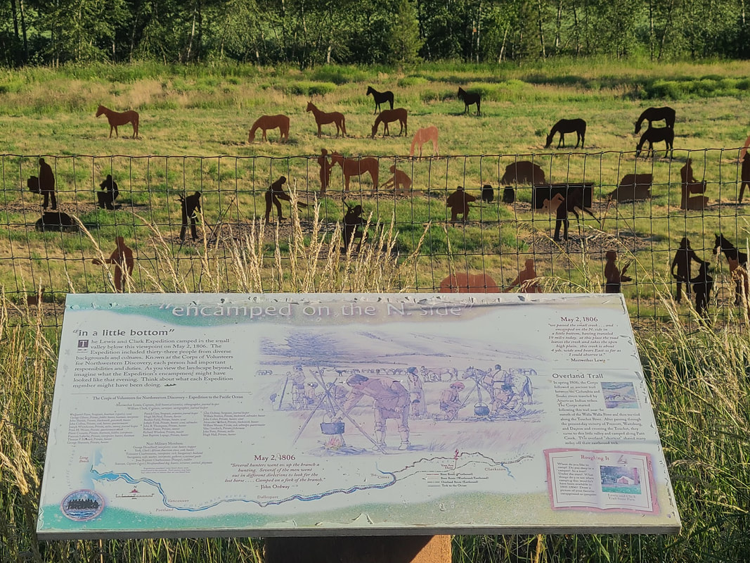
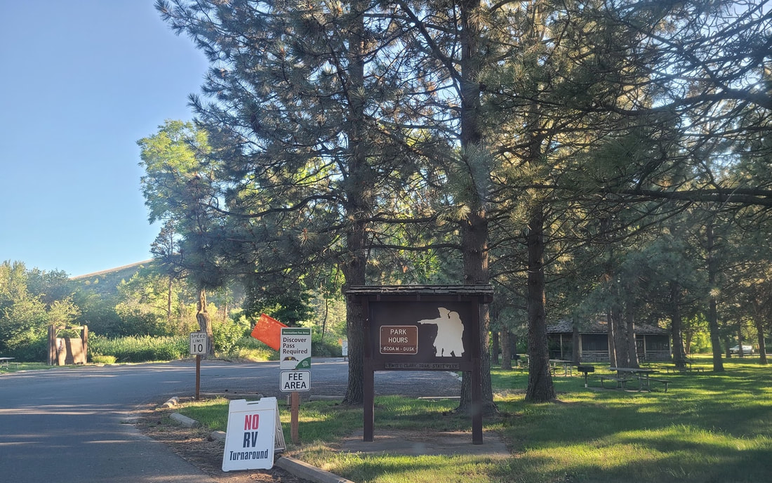
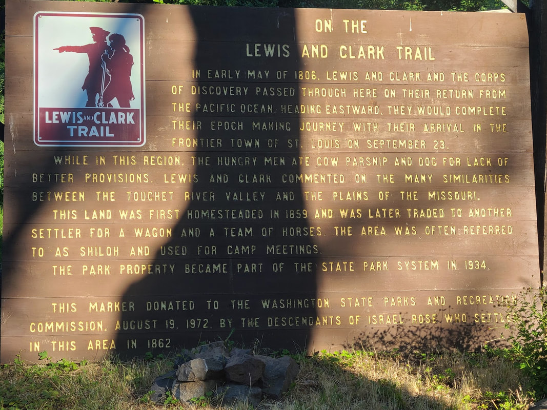
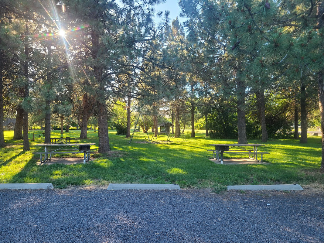
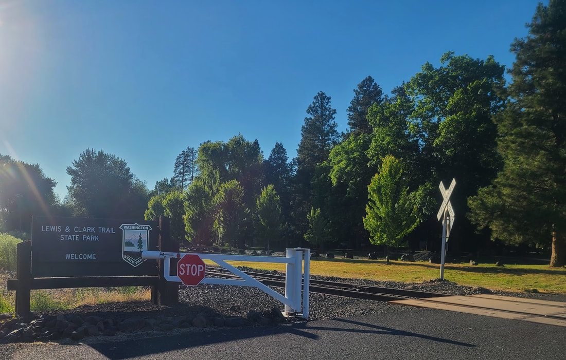
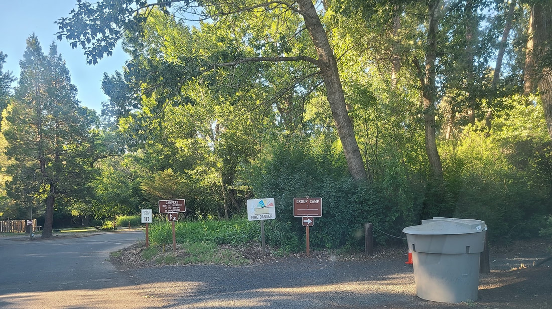
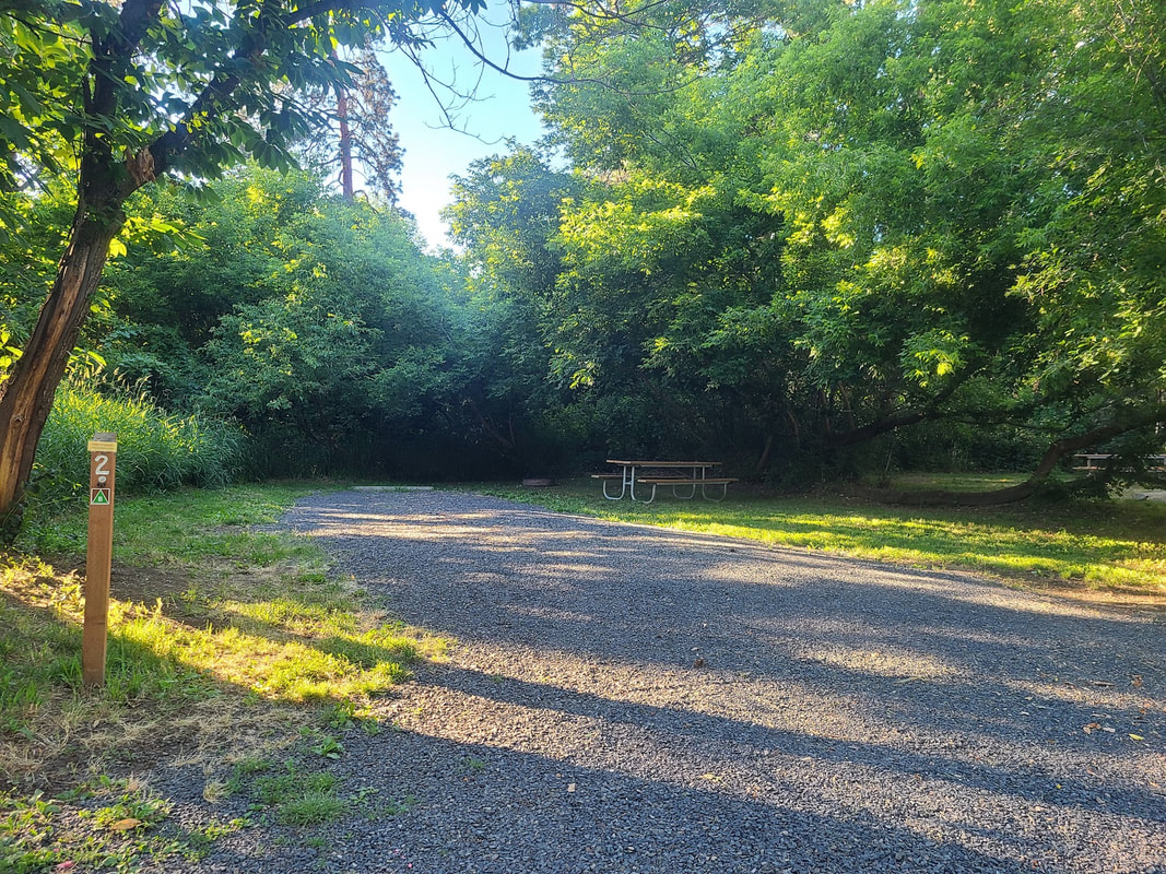
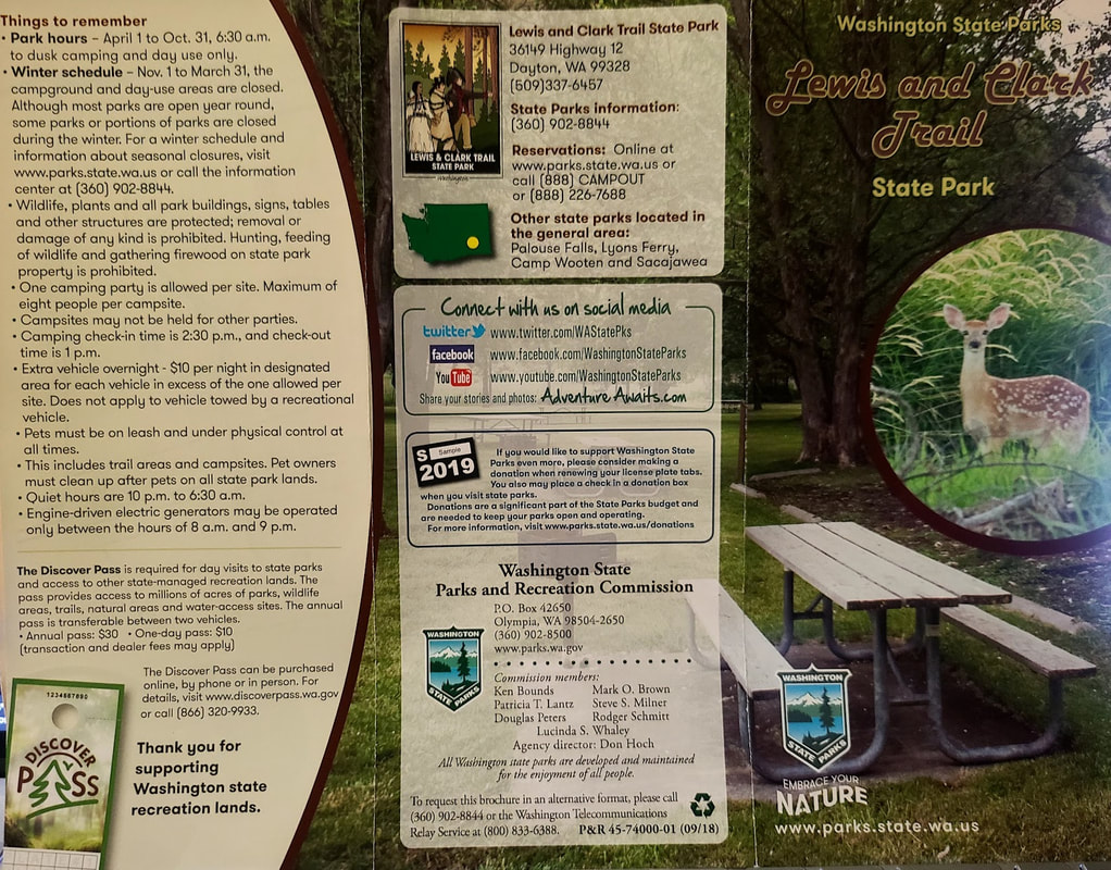
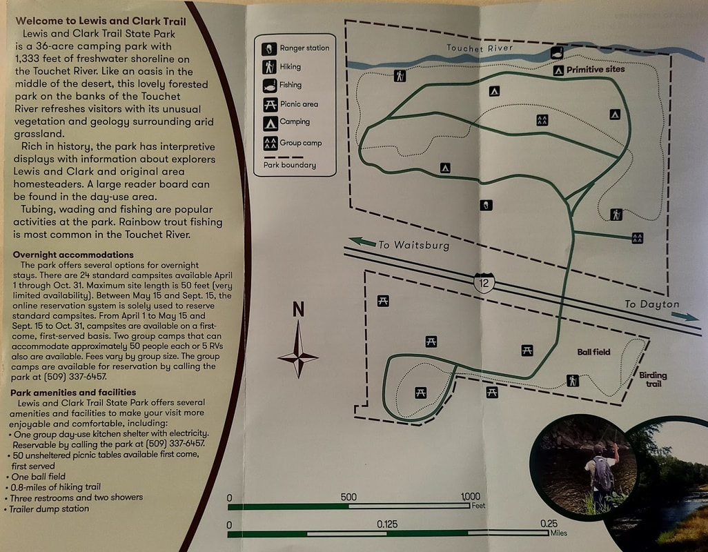
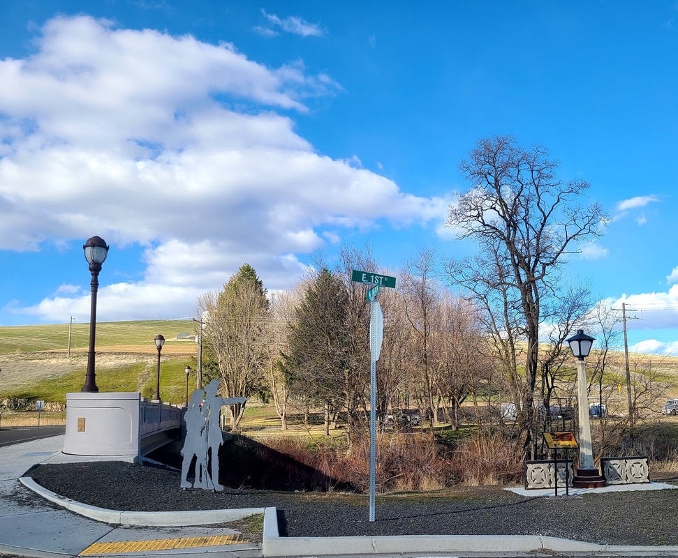
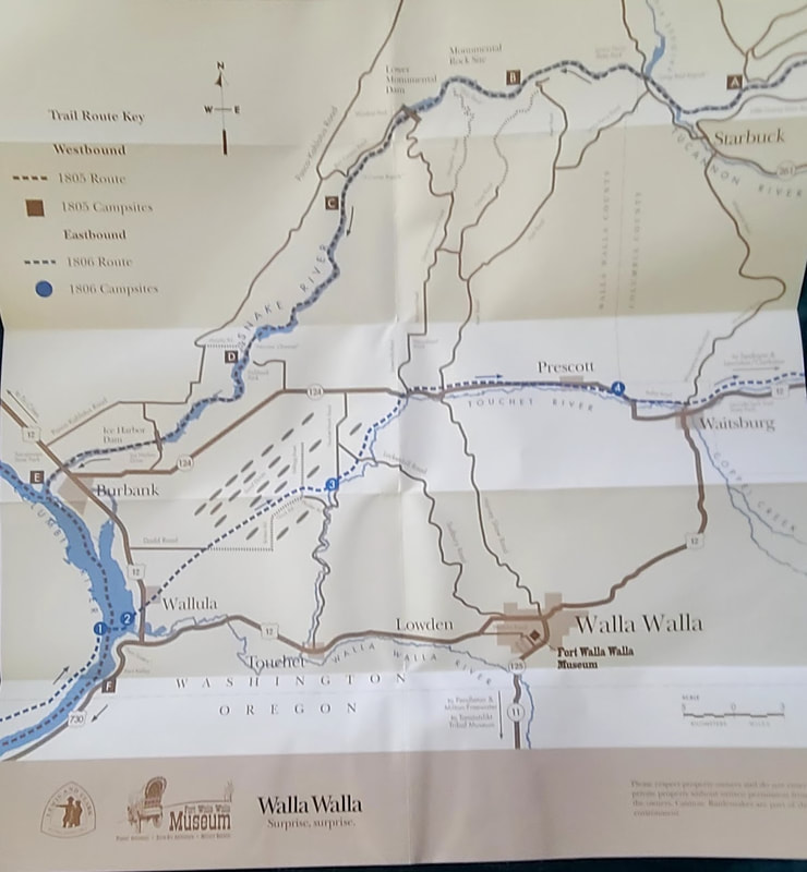
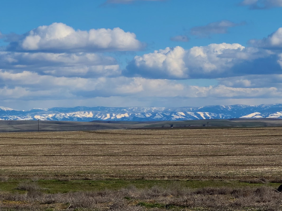
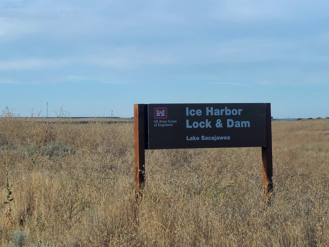
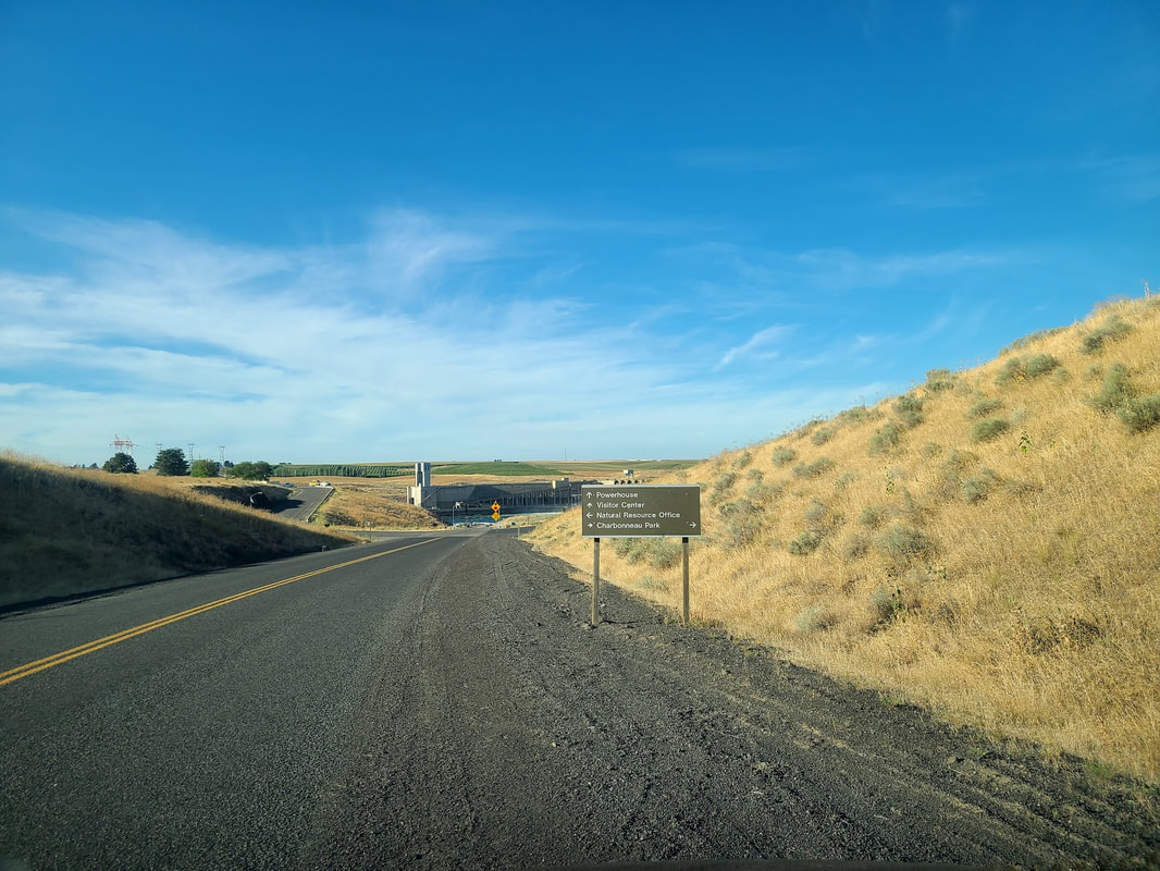
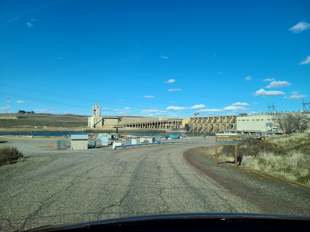
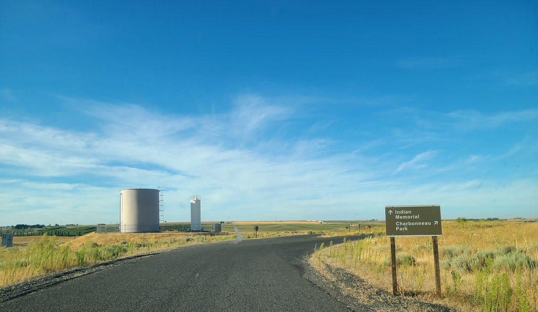
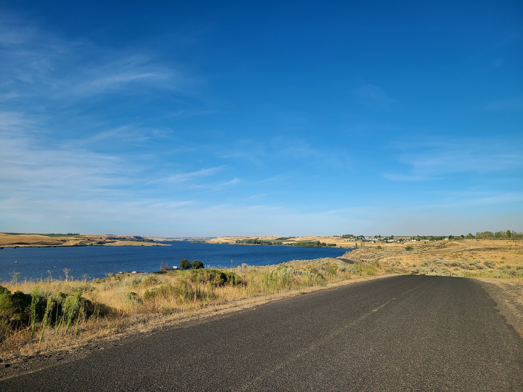
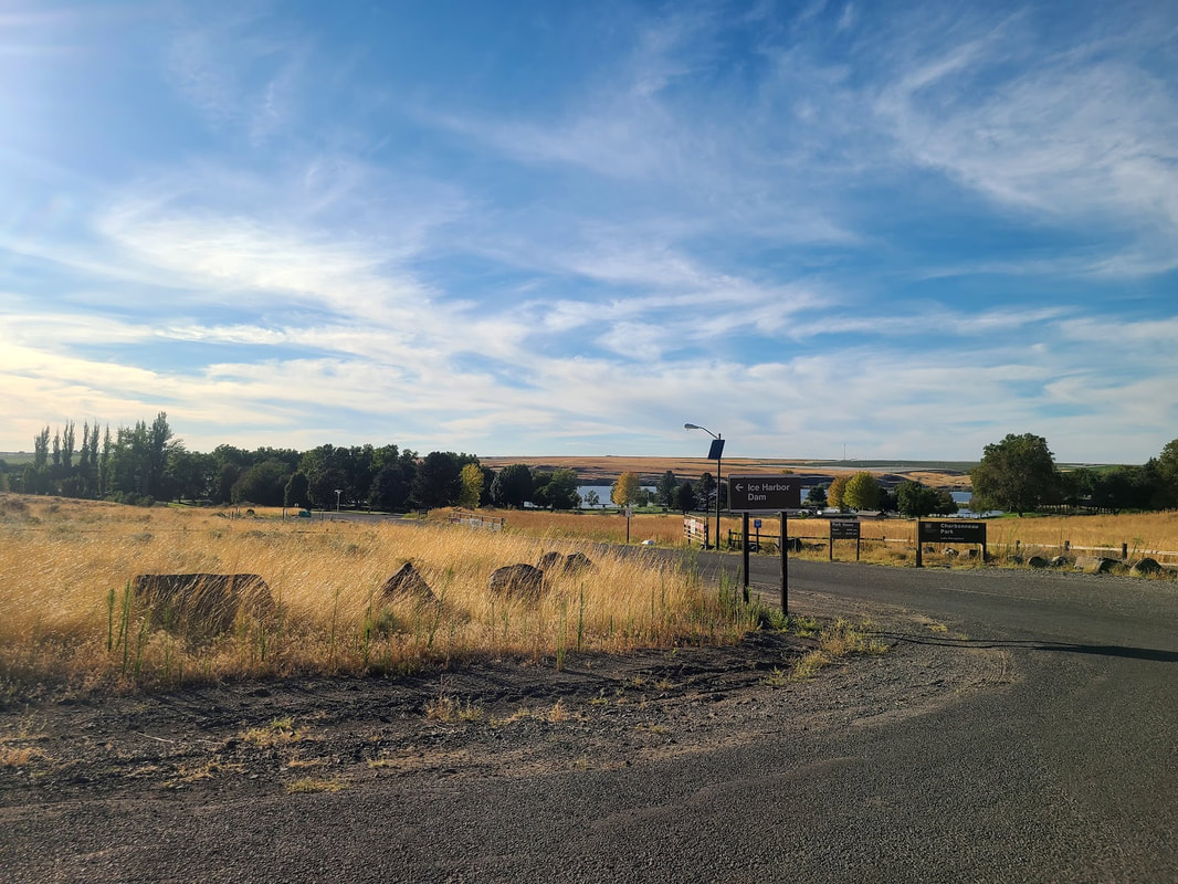
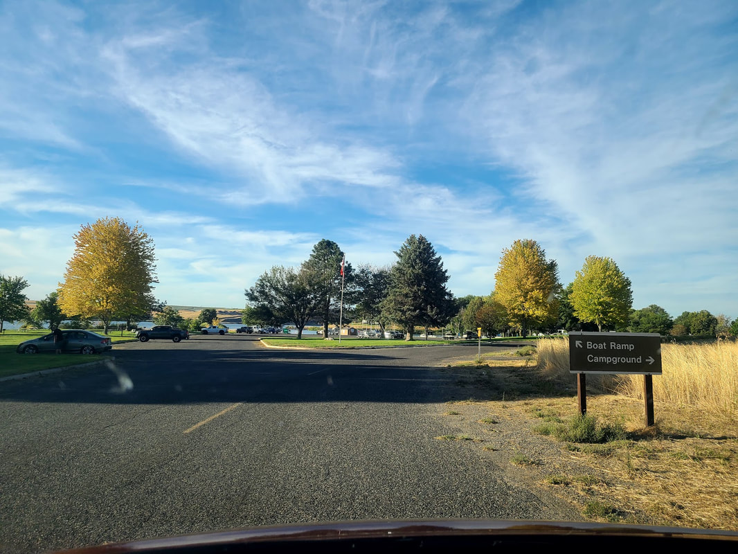
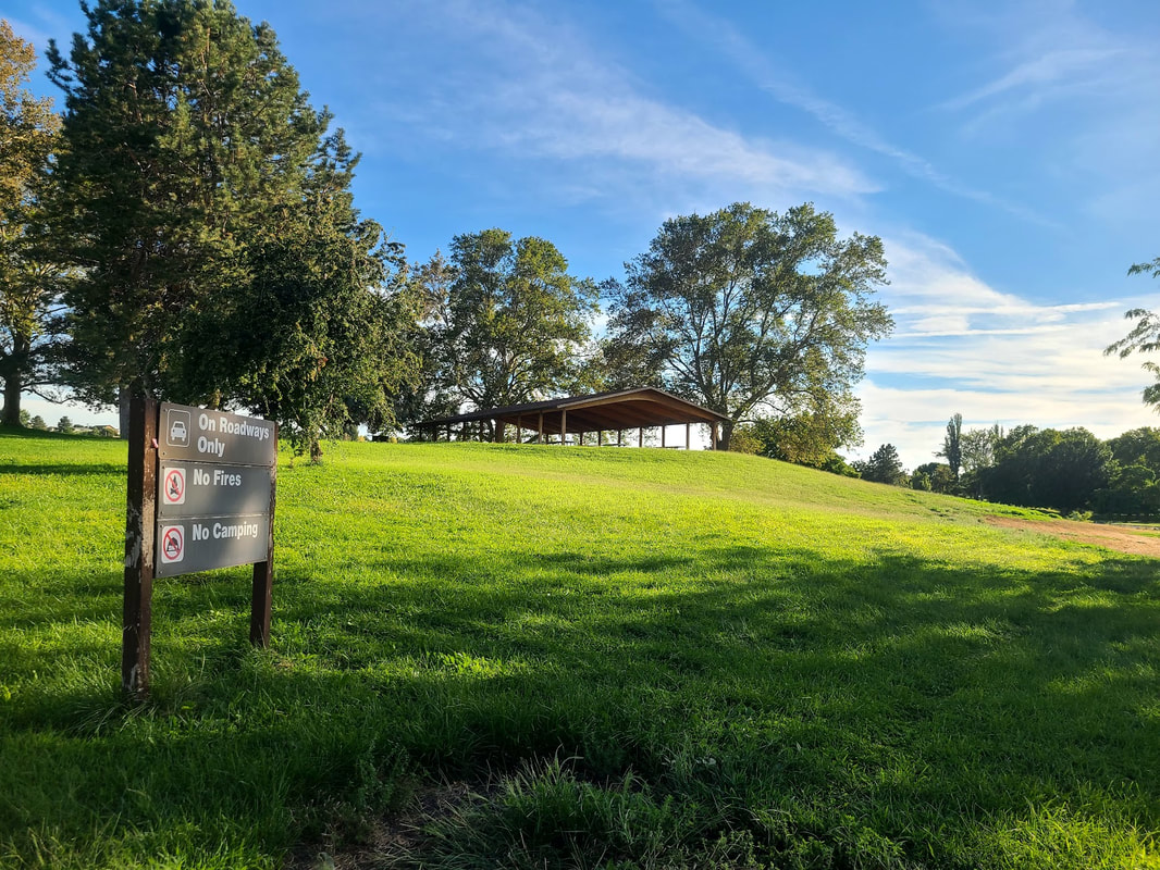
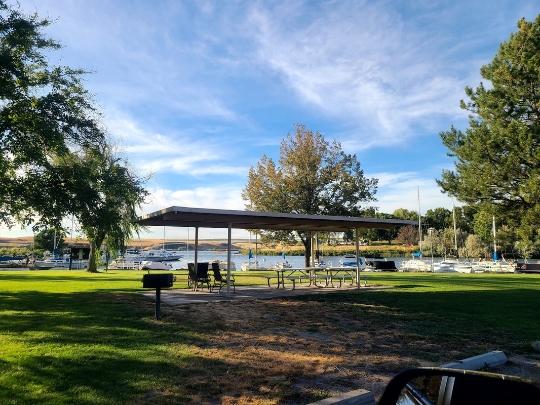
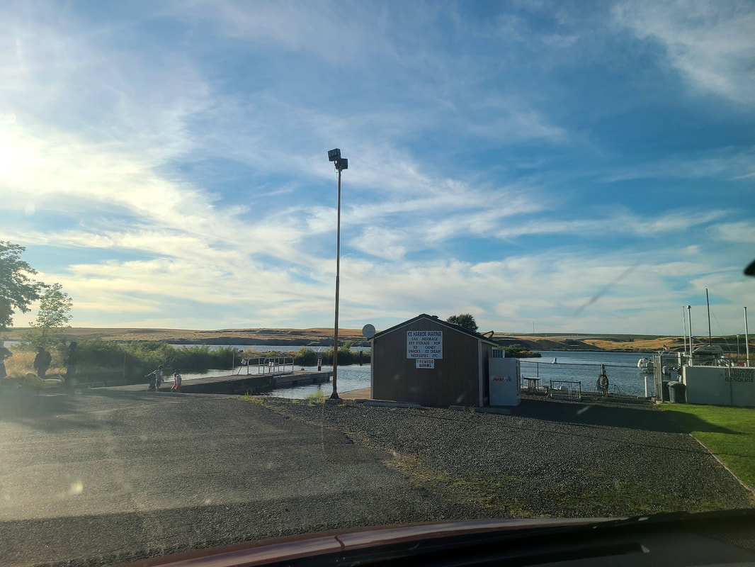
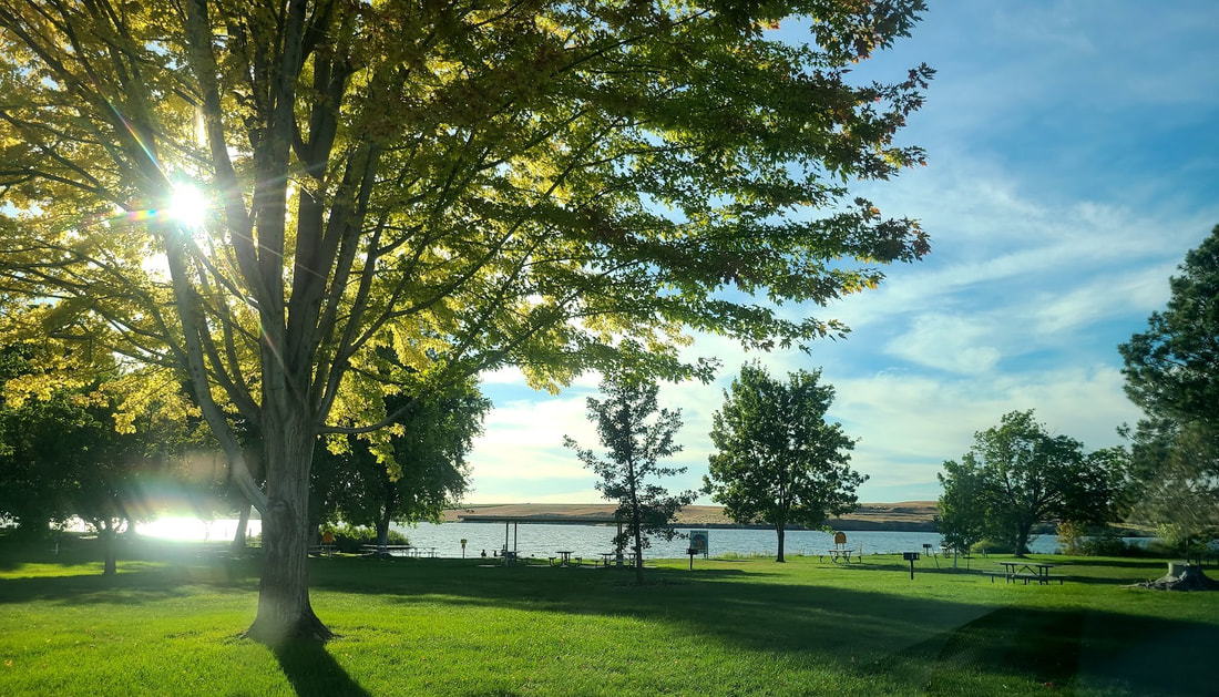
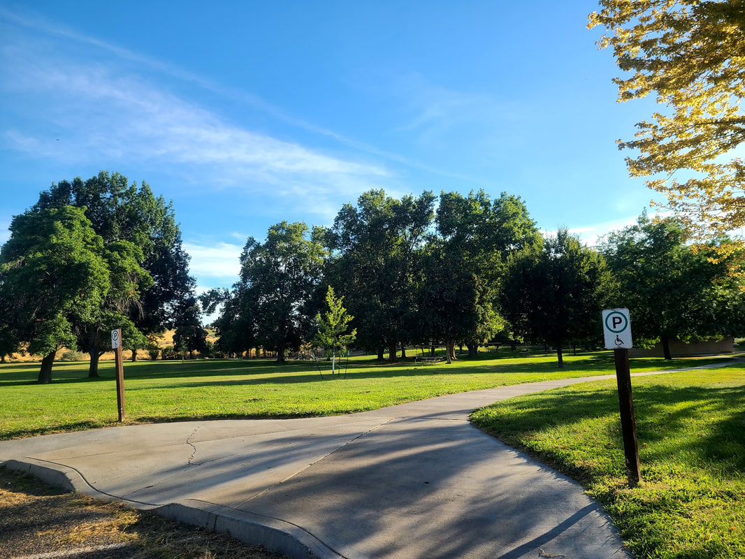
Lewis & Clark Trail State Park, WA--Hwy 12 Five miles west of Dayton WA, 4 miles east of Waitsburg, Hwy 12 splits the Lewis & Clark Trail State Park in two. One side is the day-use area, the other is the campground. These are photos from June 2021. In March of 2022 the park was still closed for the winter. Waitsburg and Walla Walla WA Waitsburg is a charming little town, and I intend to post more about it later. From Waitsburg you can continue on Hwy 12 down to Walla Walla, or head west on Hwy 124. Walla Walla has a lot of history, but more to do with the Oregon Trail/Whitman Mission/Fort Walla Walla, which I will cover in part 2 of my Oregon Trail post. In the meantime, here are a few fotos about Lewis & Clark in Waitsburg & Walla Walla. The Corps of Discovery & the Walla Walla Indians Hwy 124 traveling west from Waitsburg Prescott WA is a quiet little hamlet with interesting history, historic architecture, nice little park--I'll post more photos later. But just west of town are a couple interpretive signs relating to Lewis & Clark. Thinking about Lewis & Clark, I noticed the snow on the hills from Agrinorthwest/Eureka Farms, March of 2022. On google maps you can see big circles of irrigated farmland from the air. Ice Harbor Dam, Lake Sacajawea, South Shore Recreation Area, Charbonneau Park
Take Shoreline Dr off Monument Dr to the Indian Memorial as well as Charbonneau Park. You can also take Sun Harbor Dr off Hwy 124, it curves around to become Lakeview Dr. Turn north toward the Snake River on Charbonneau Dr, which becomes Campground Rd. It's not too far off Hwy 124.
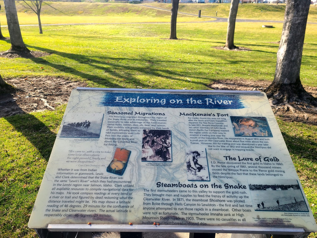
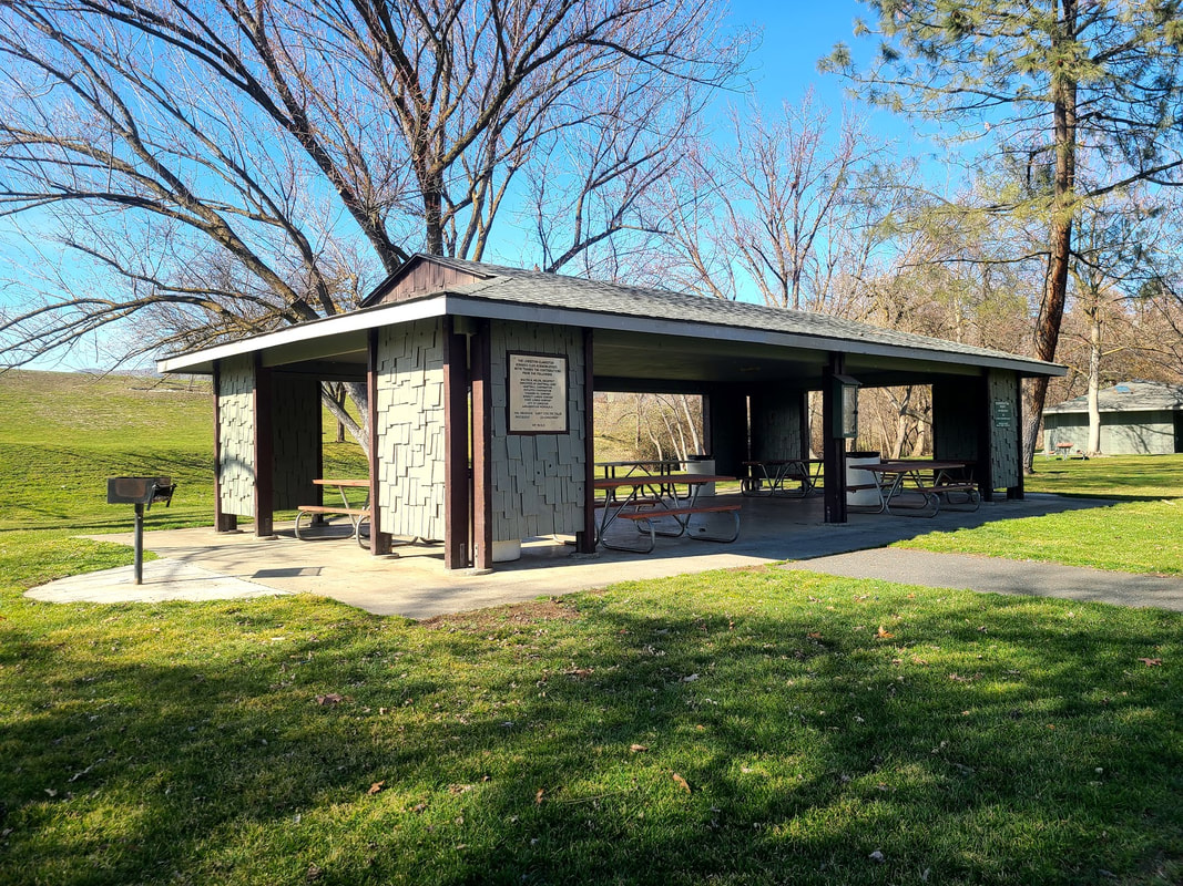
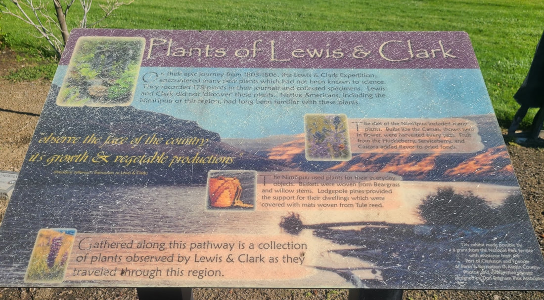
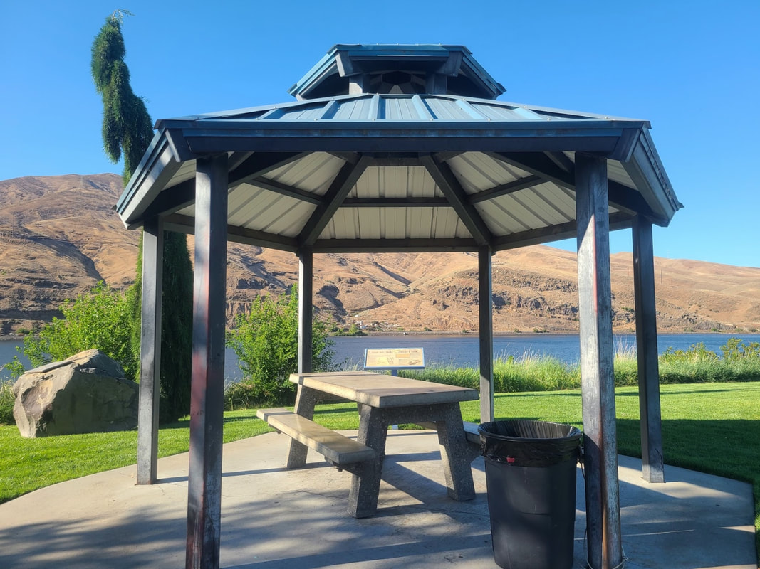
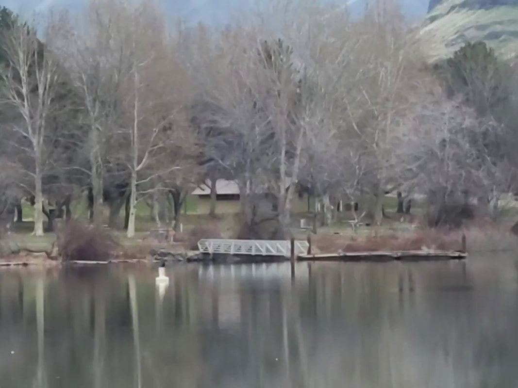
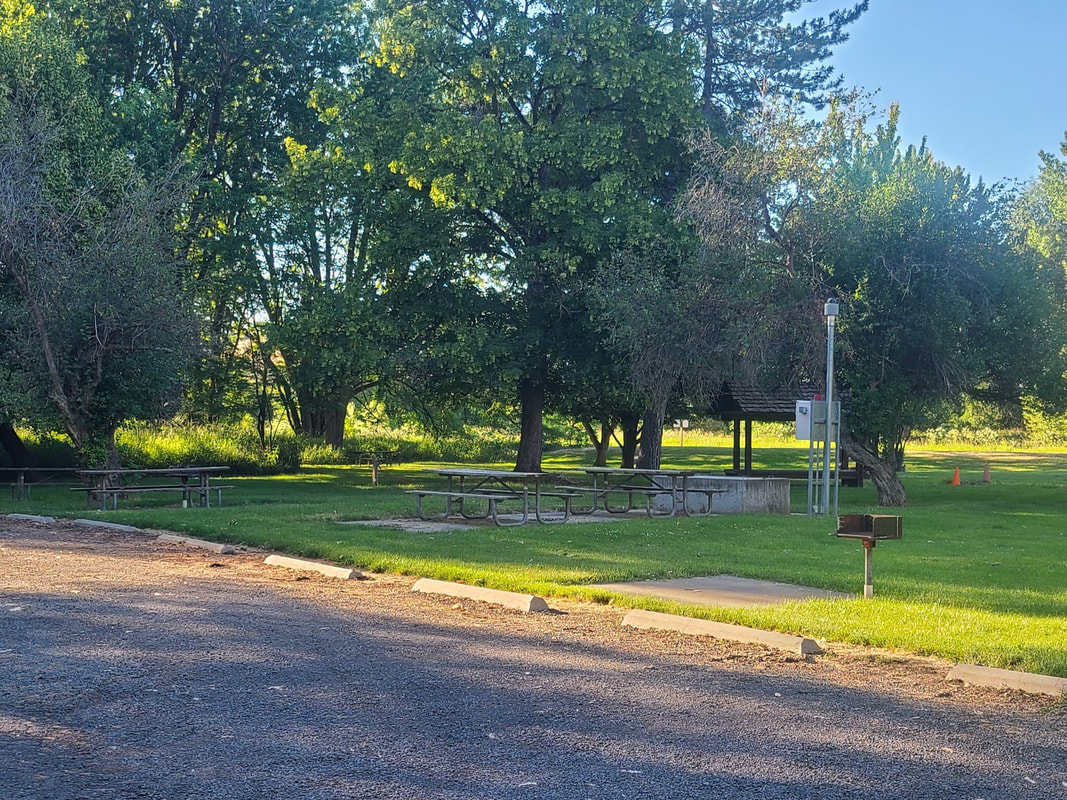
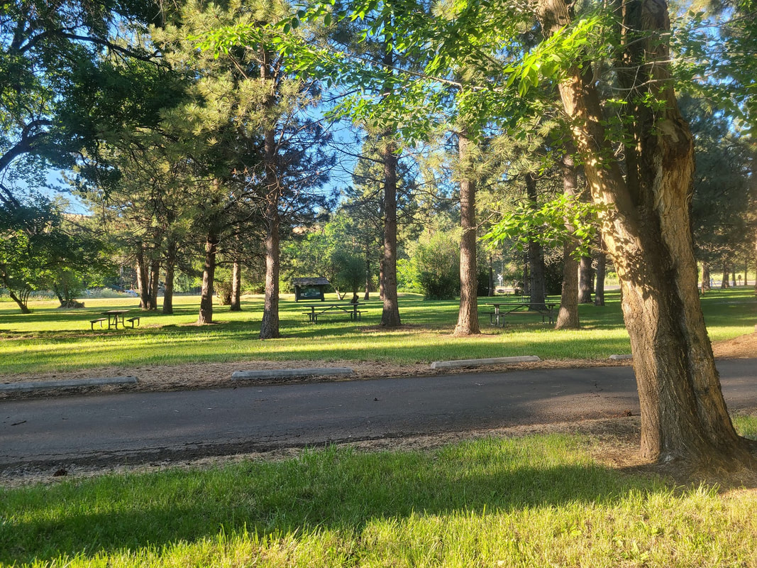
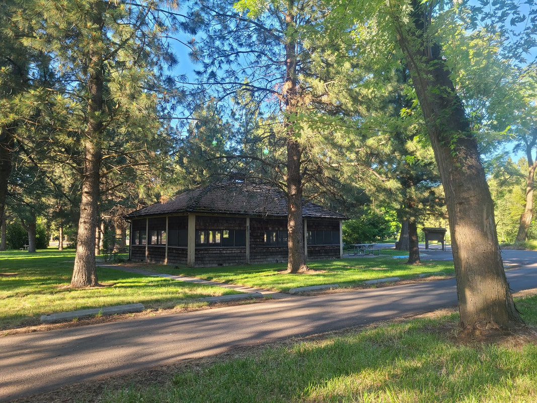
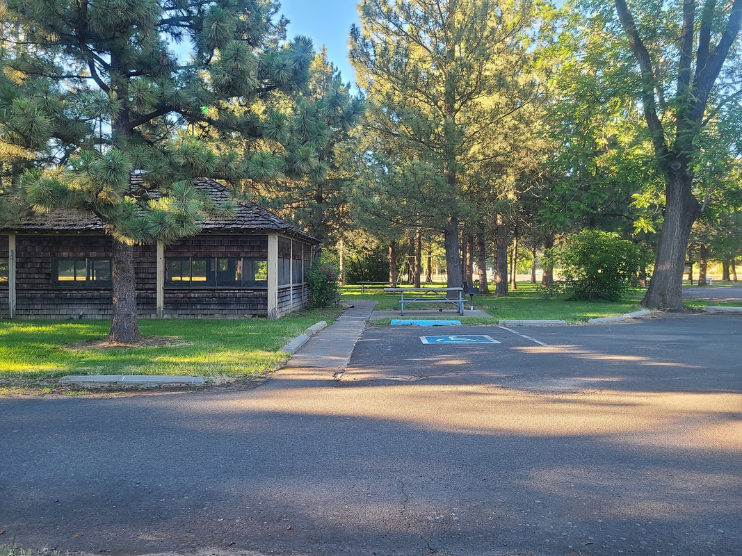
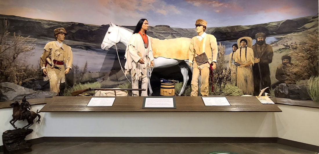
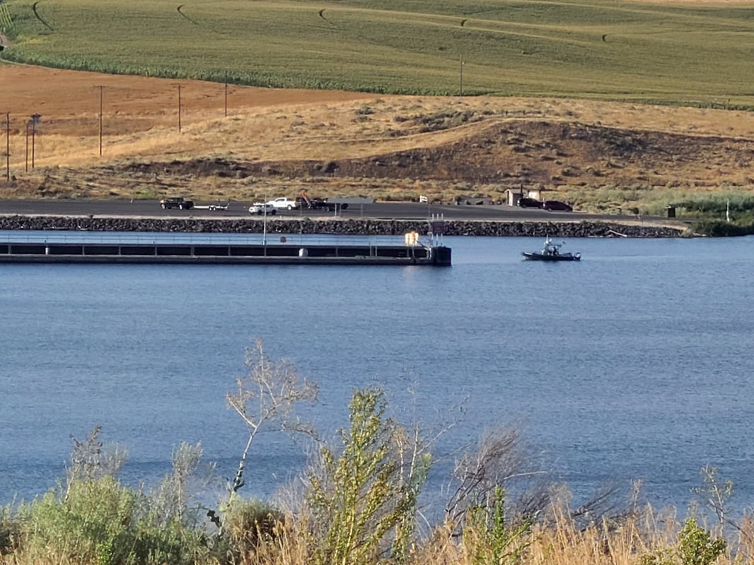
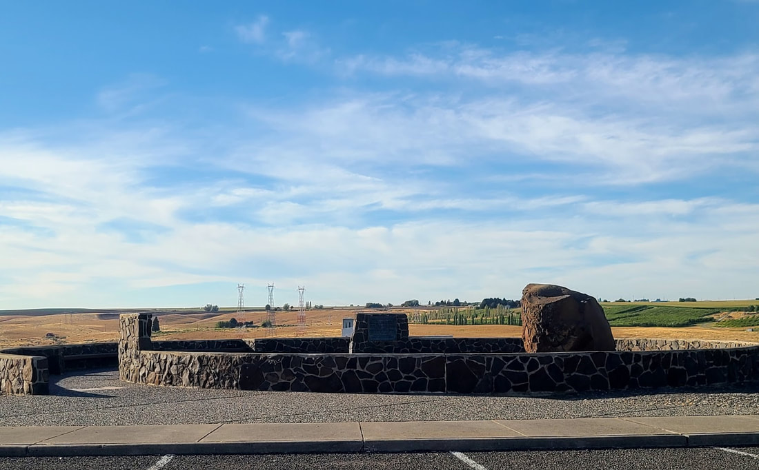
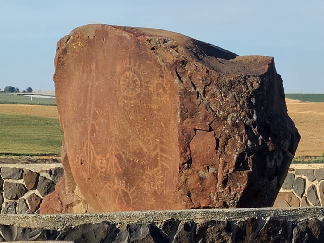
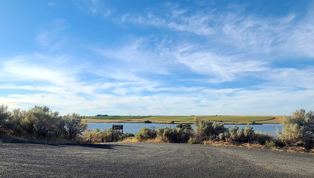
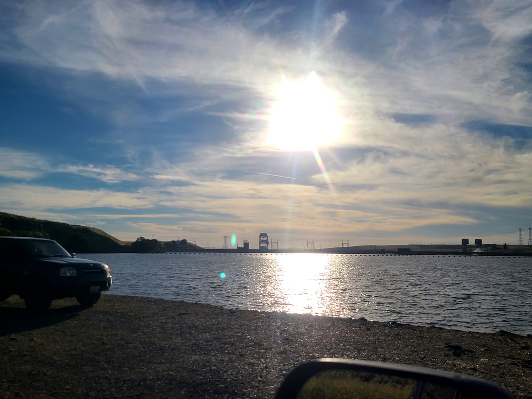
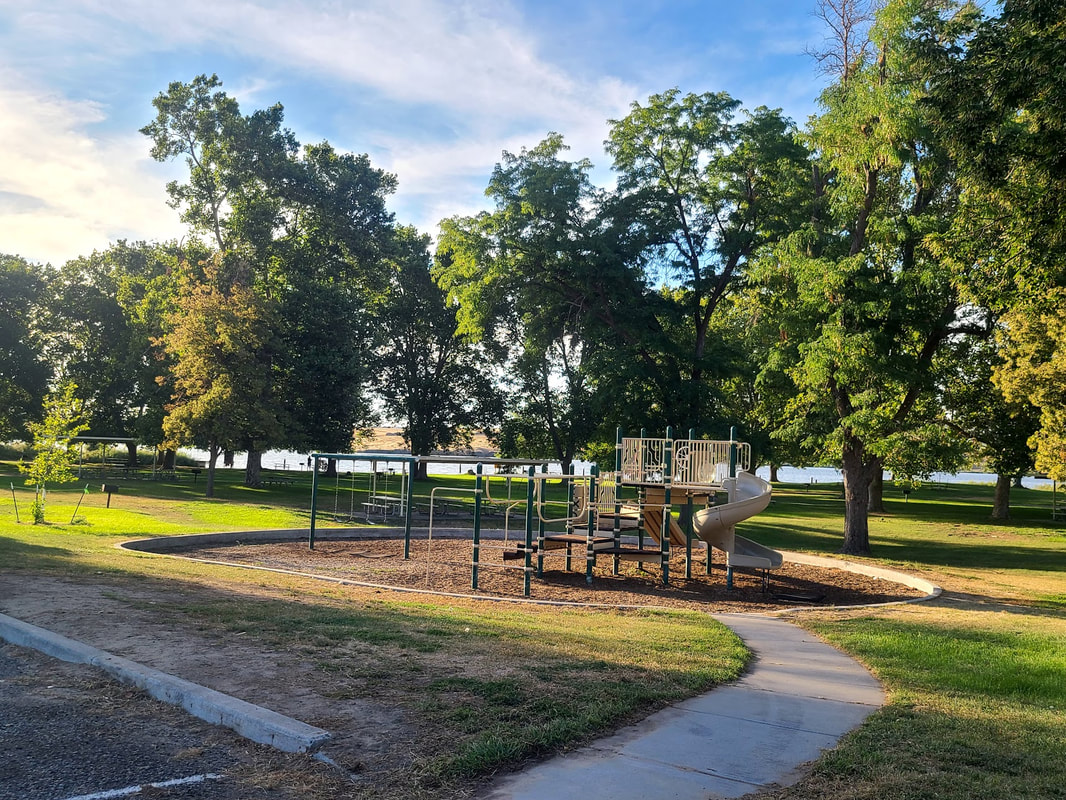
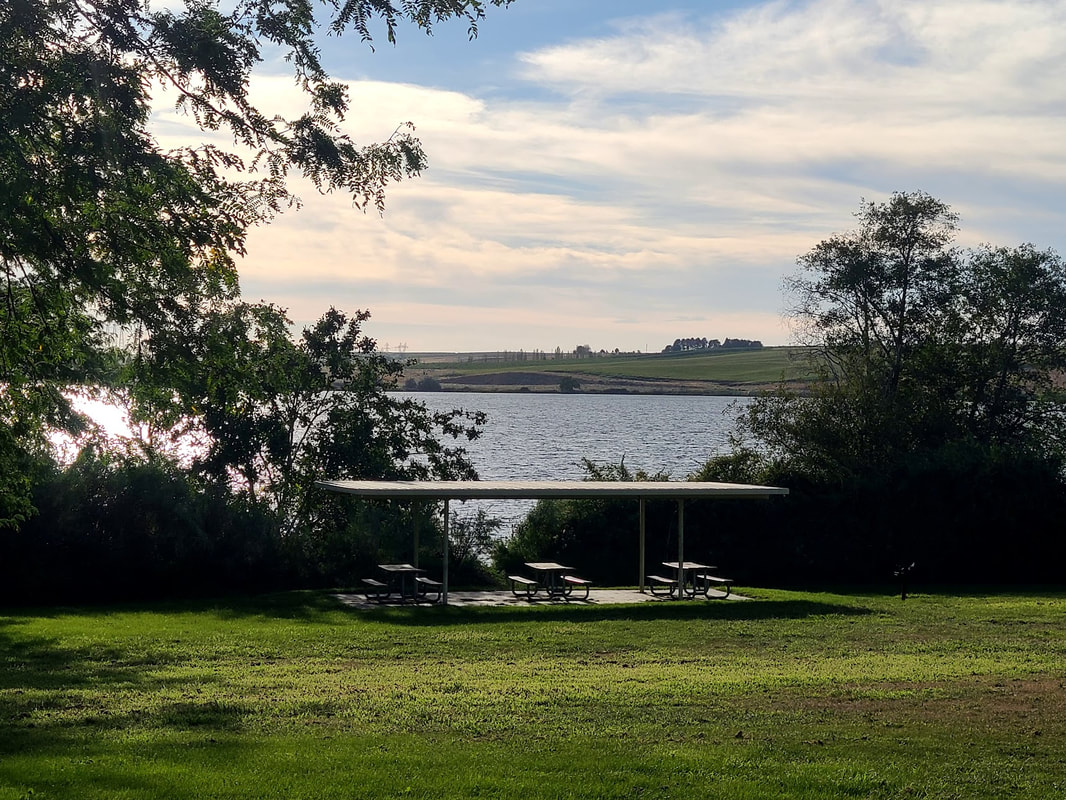
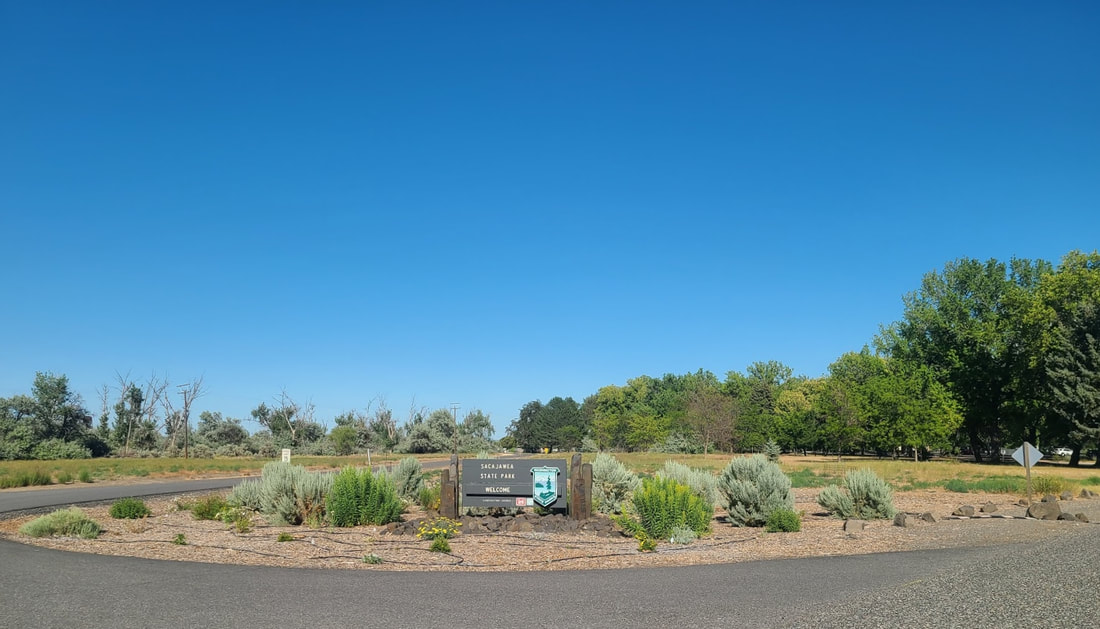
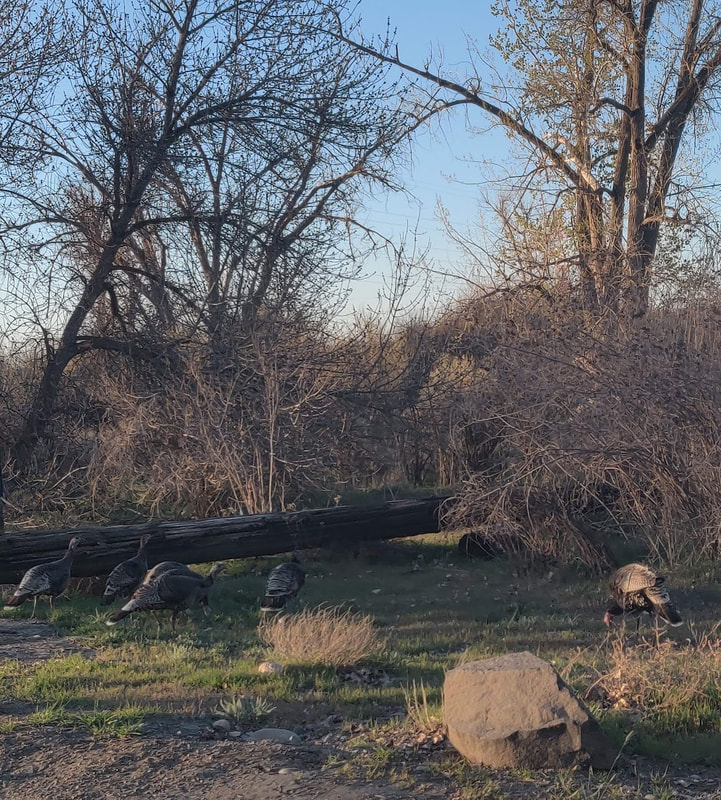
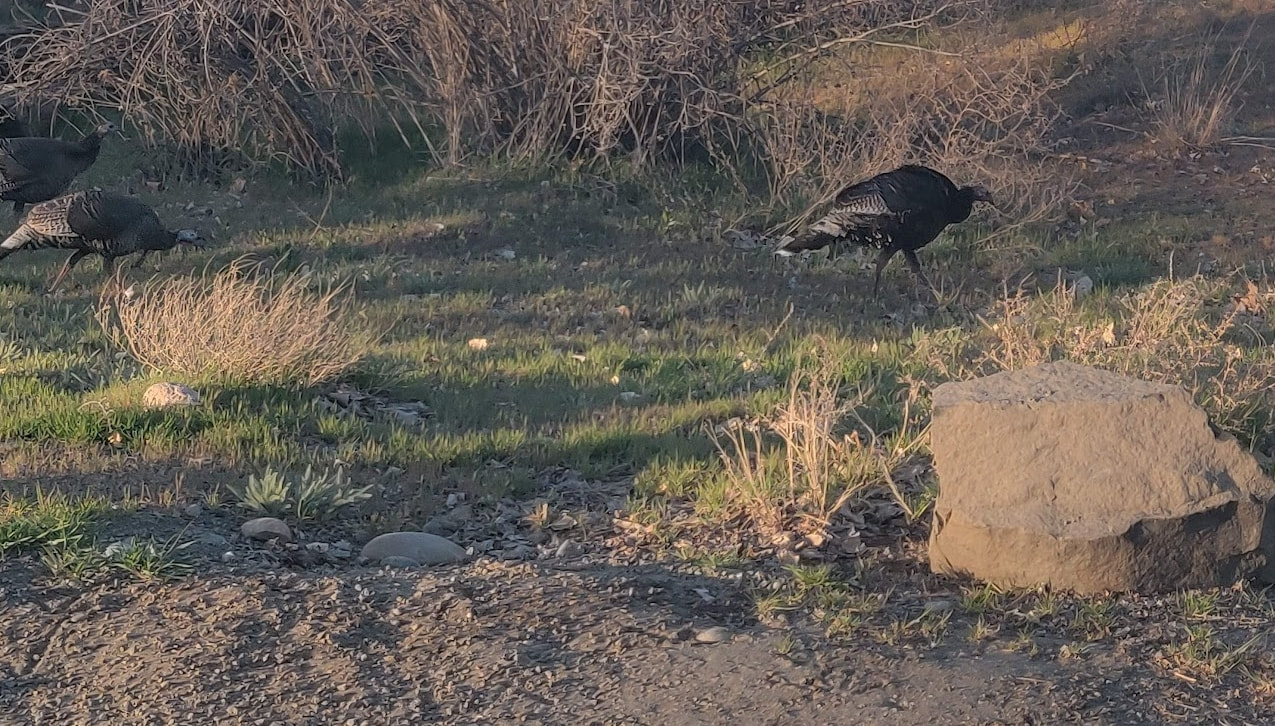
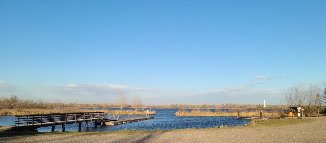
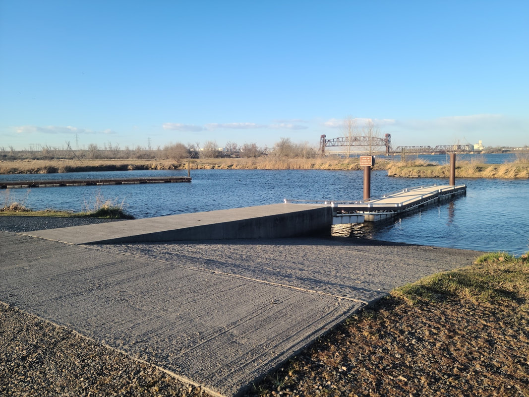
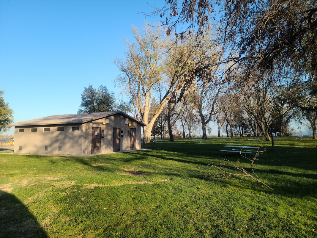
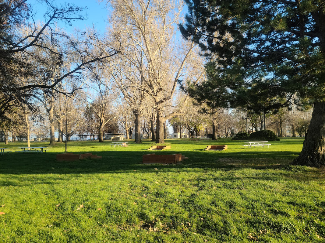
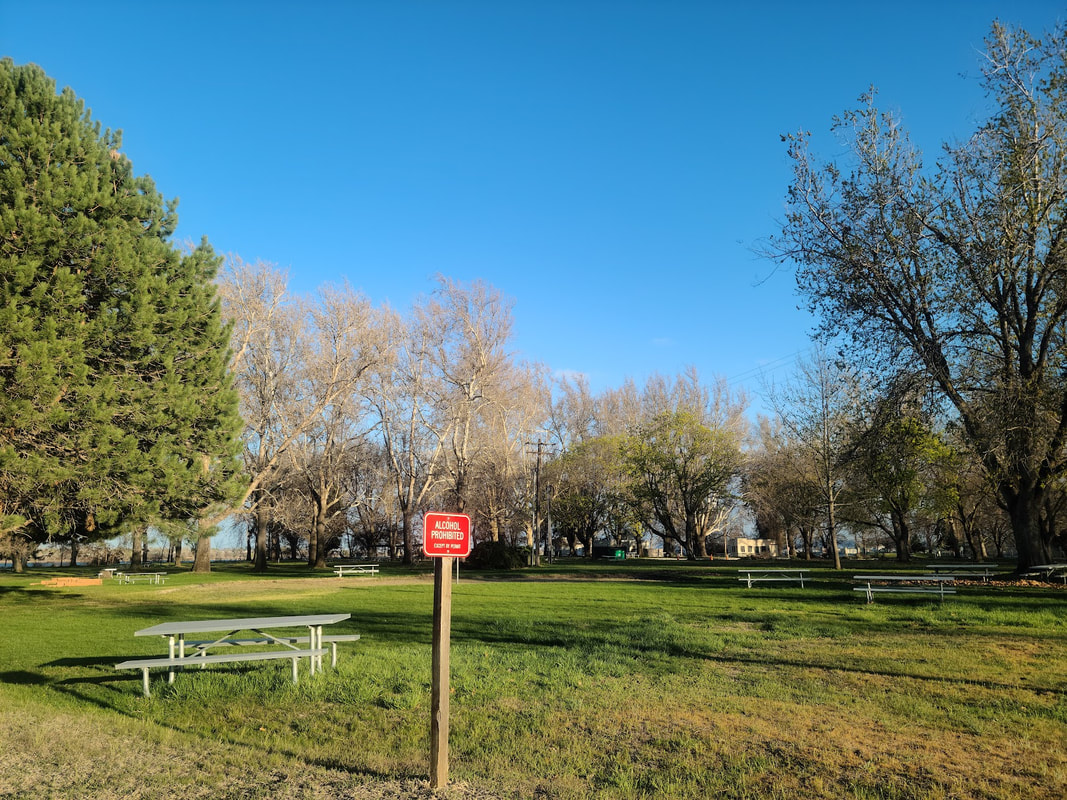
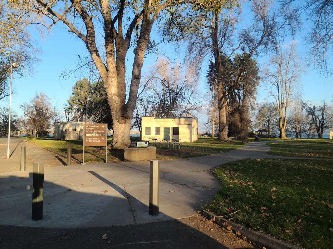
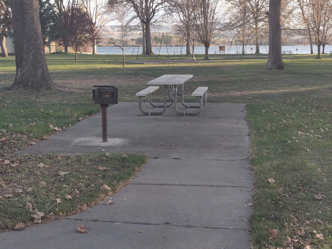
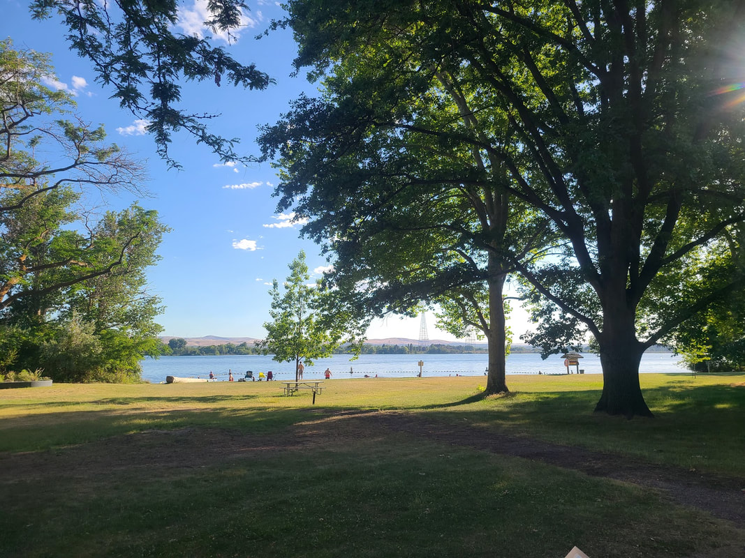
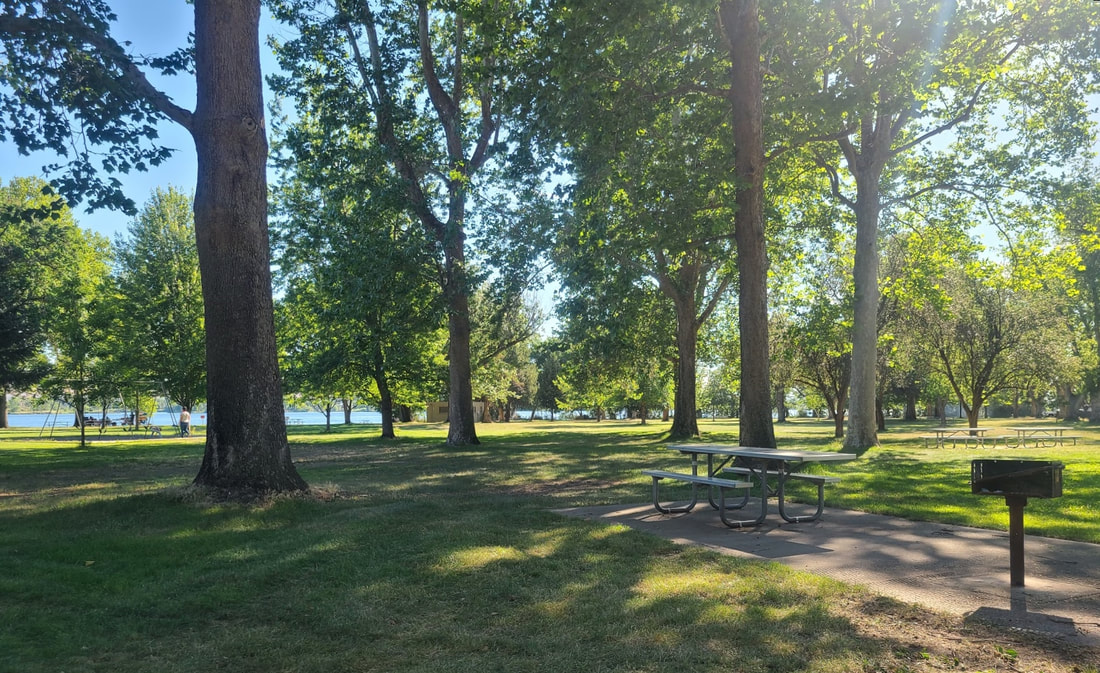
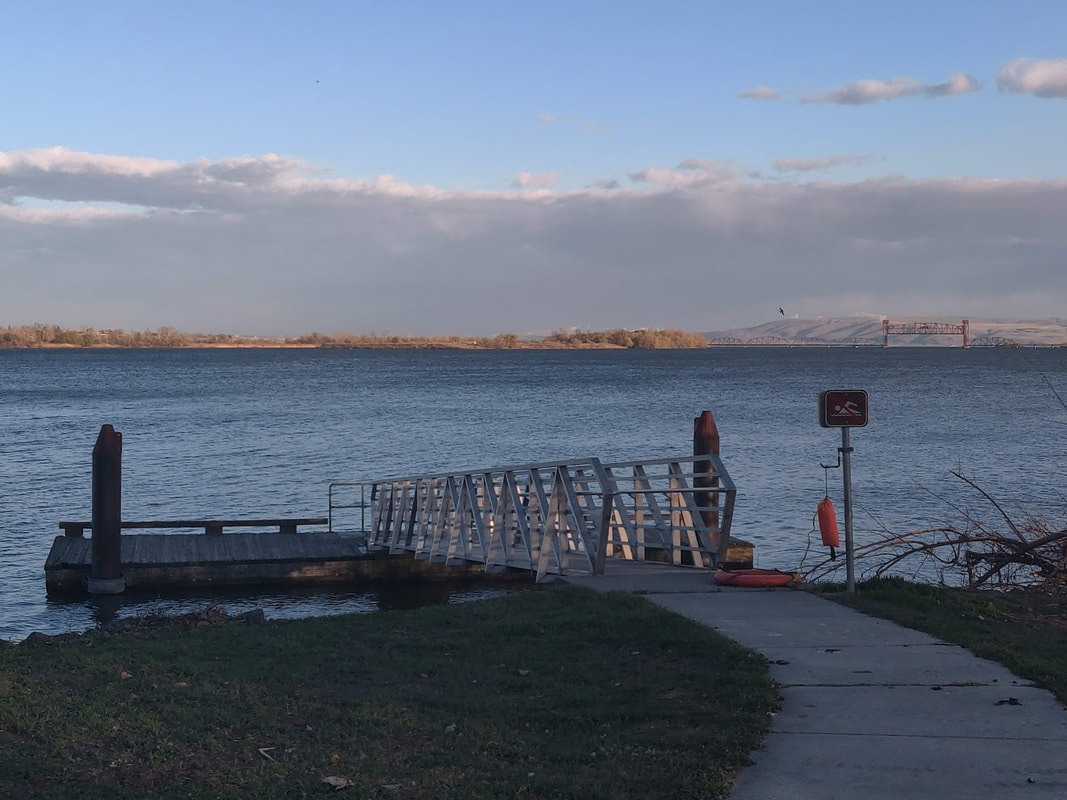
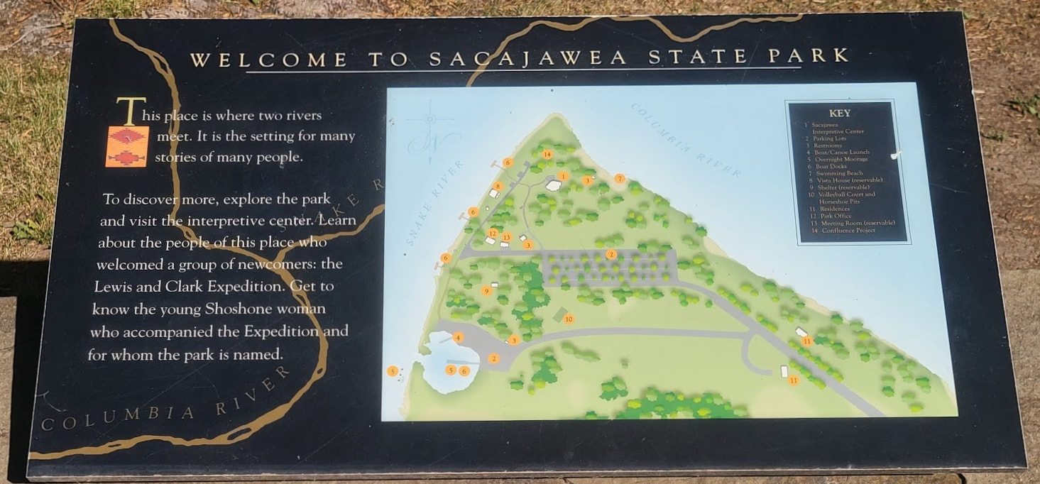
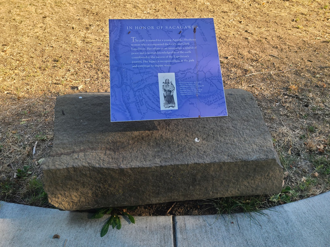
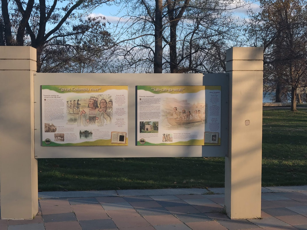
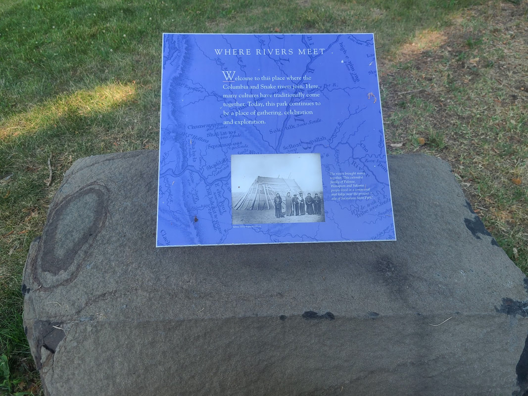
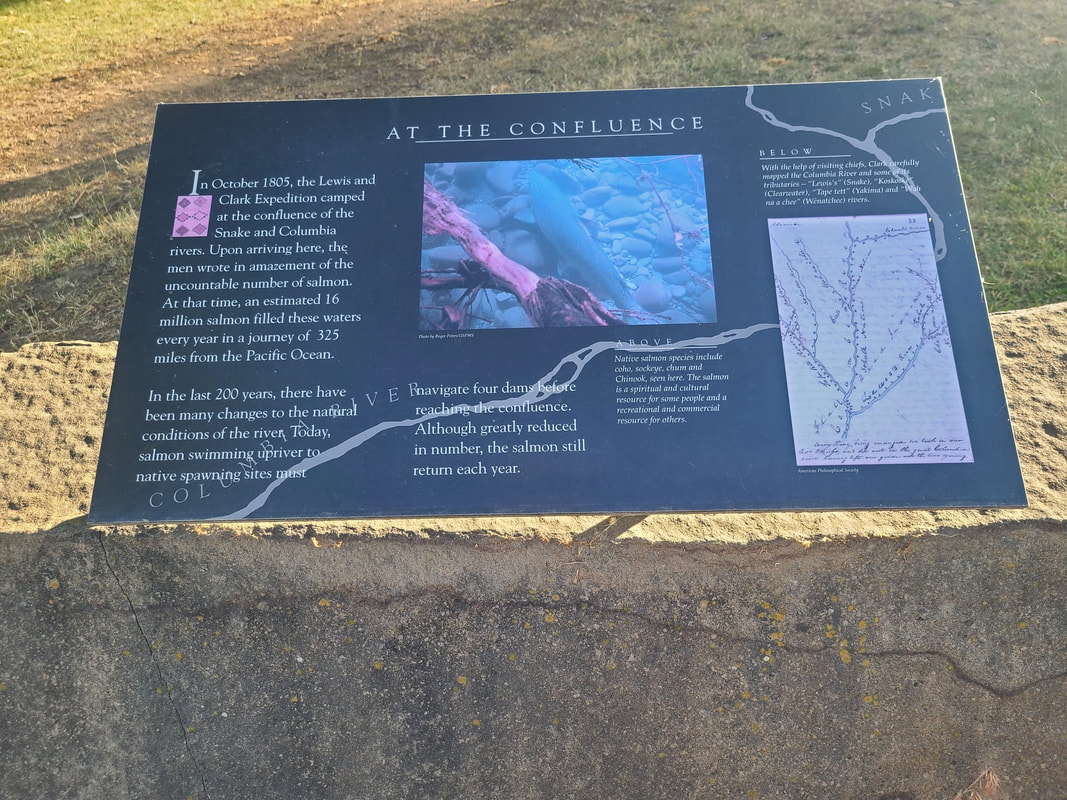
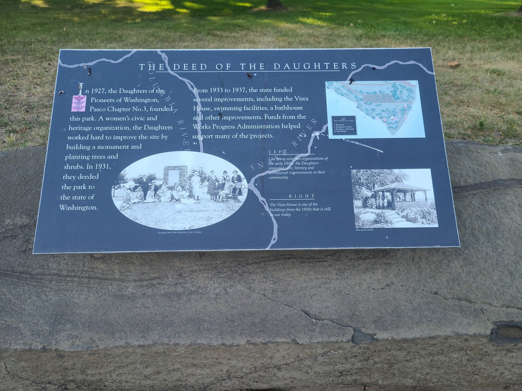
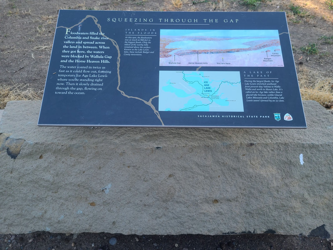
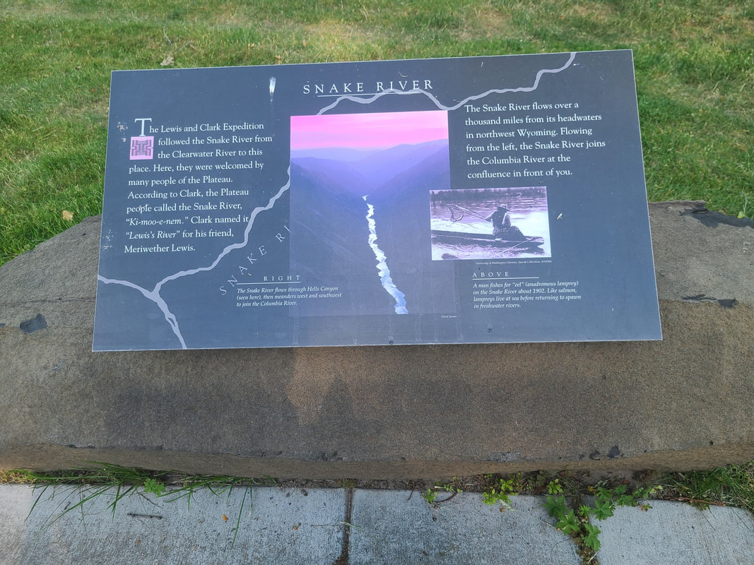
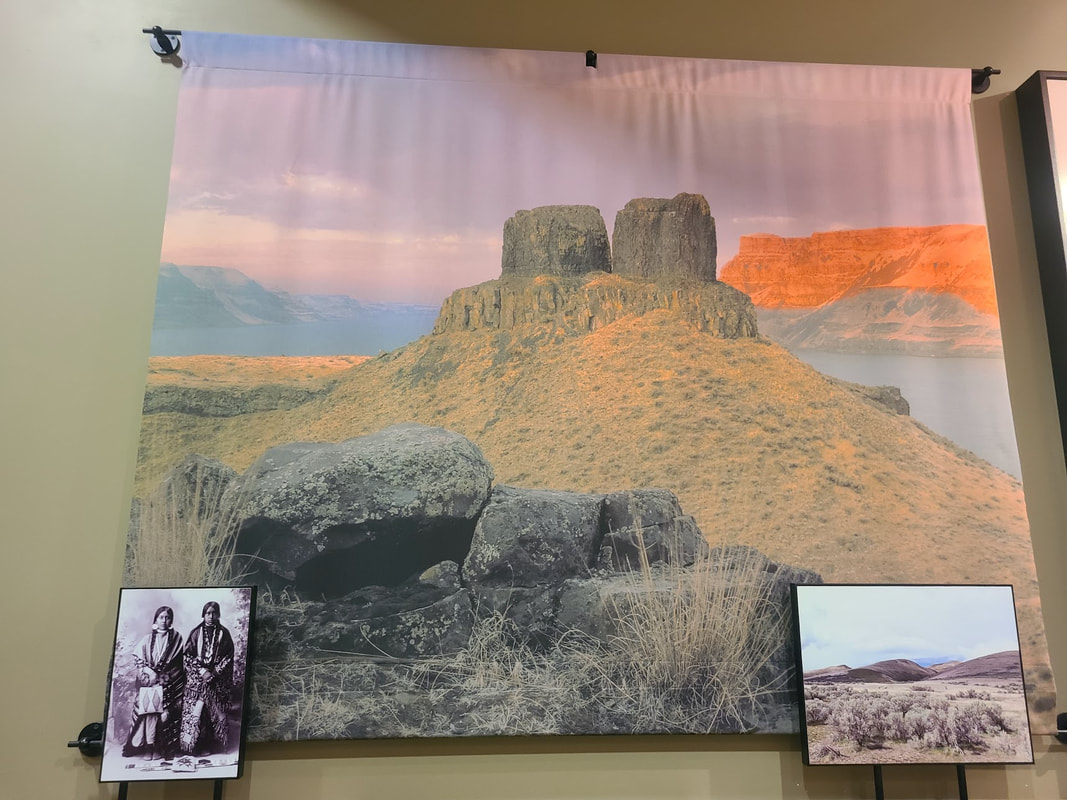
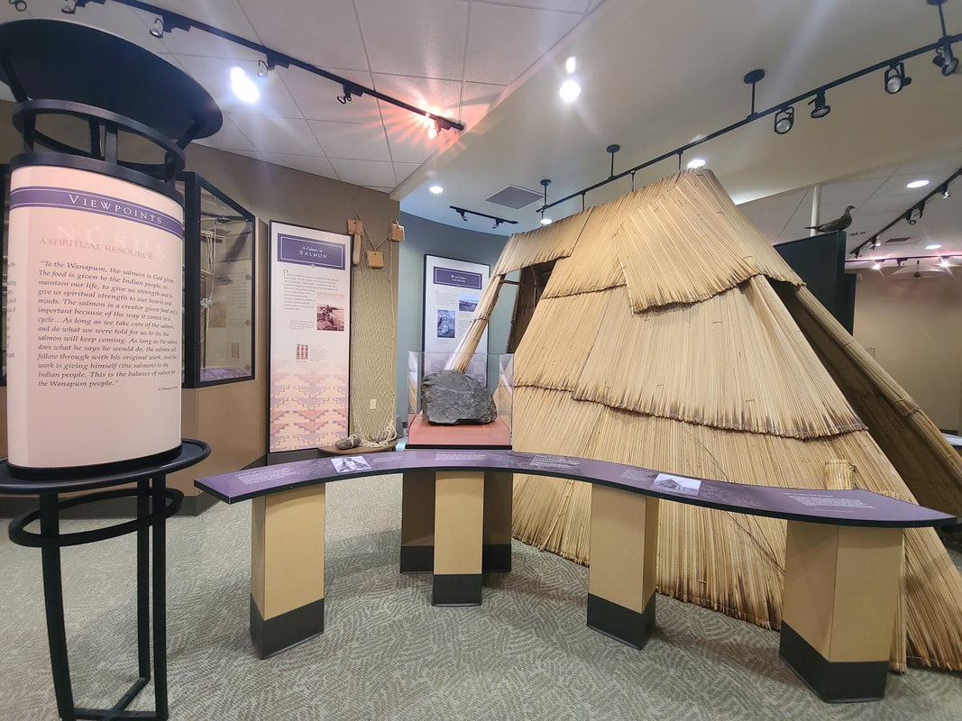
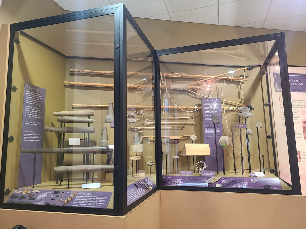
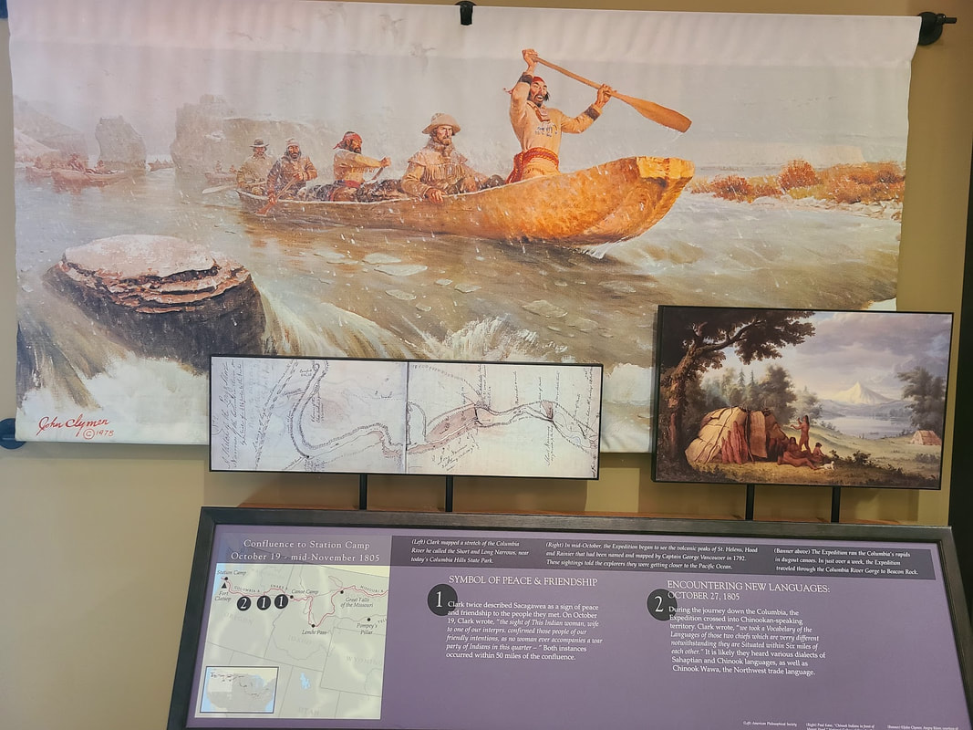
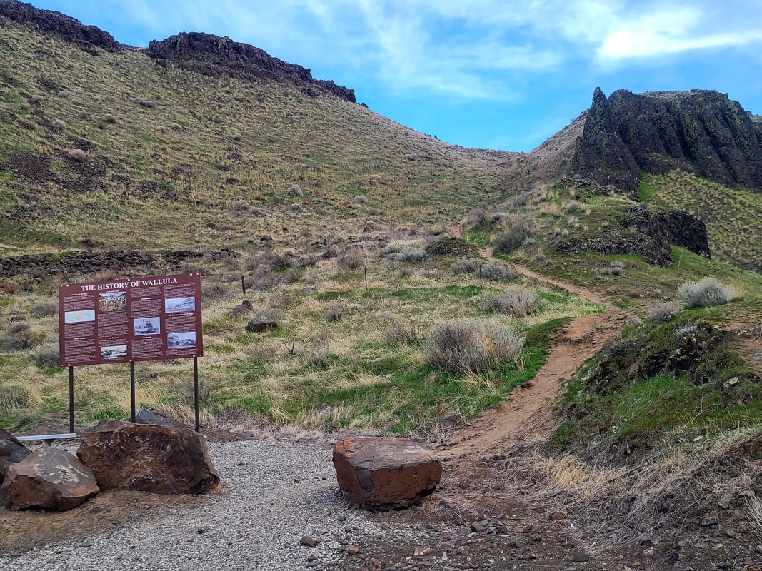
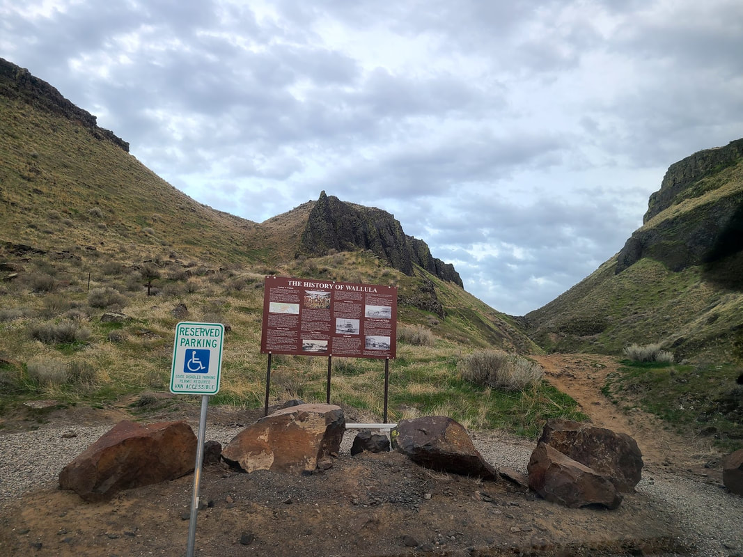
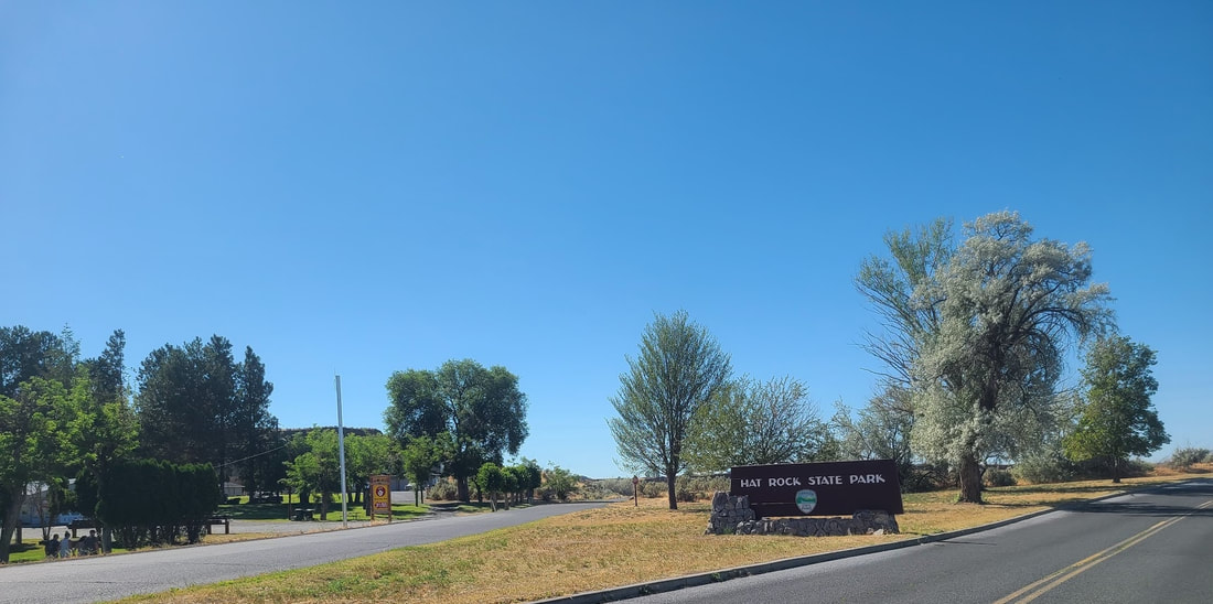
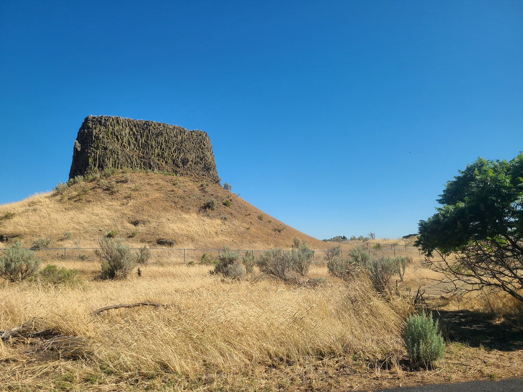
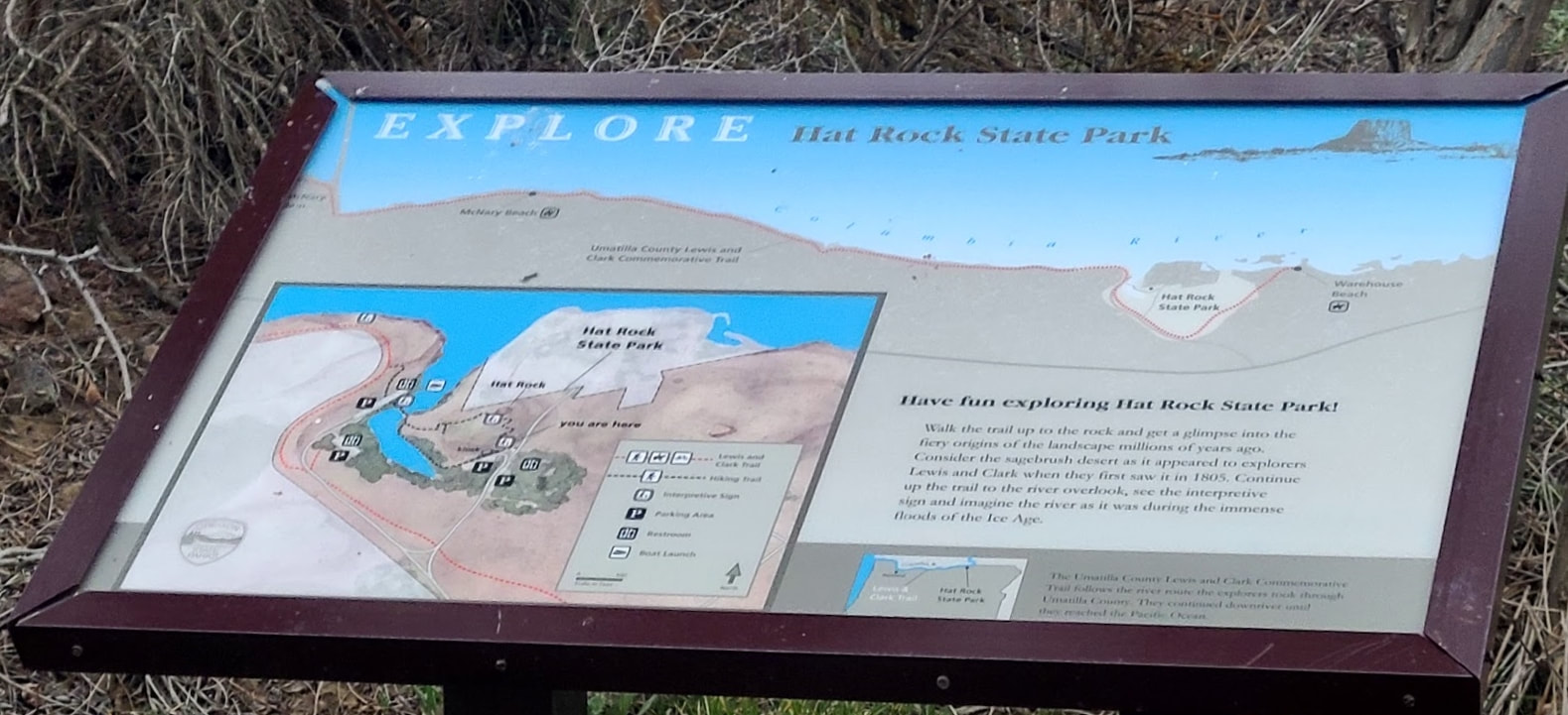
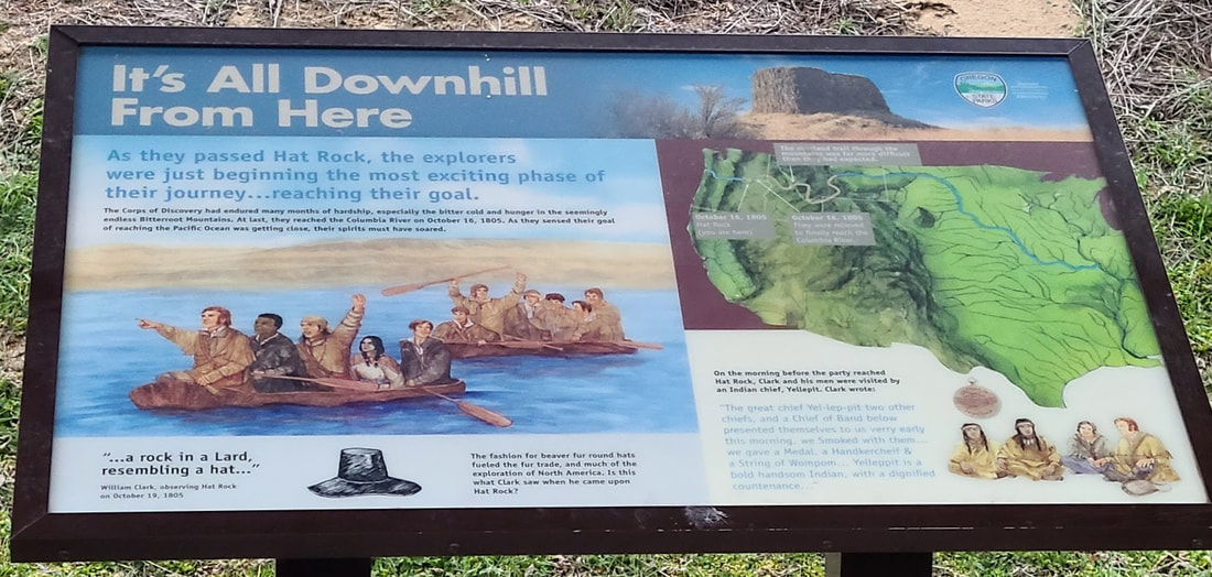
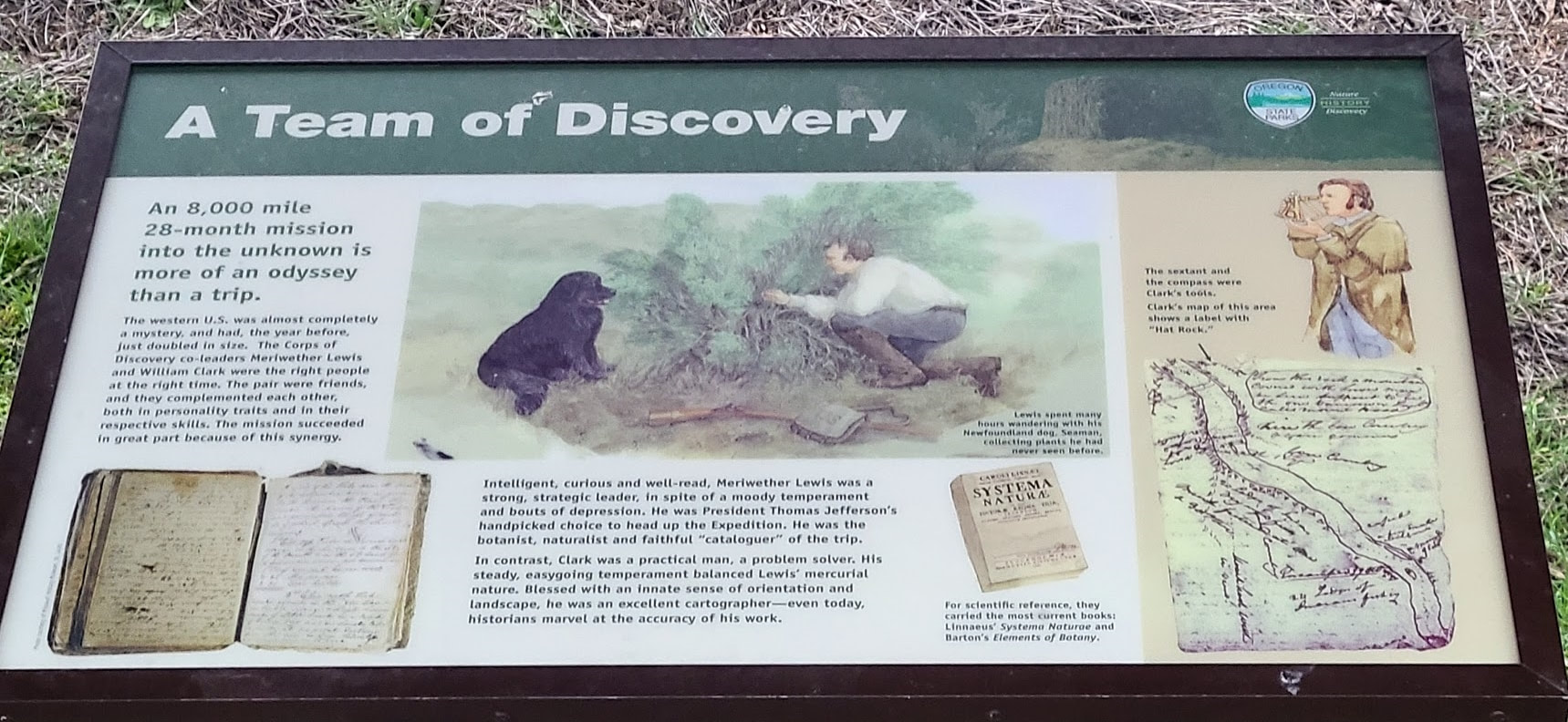
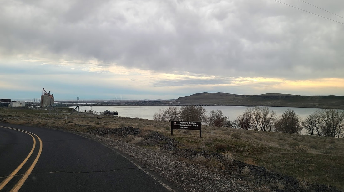
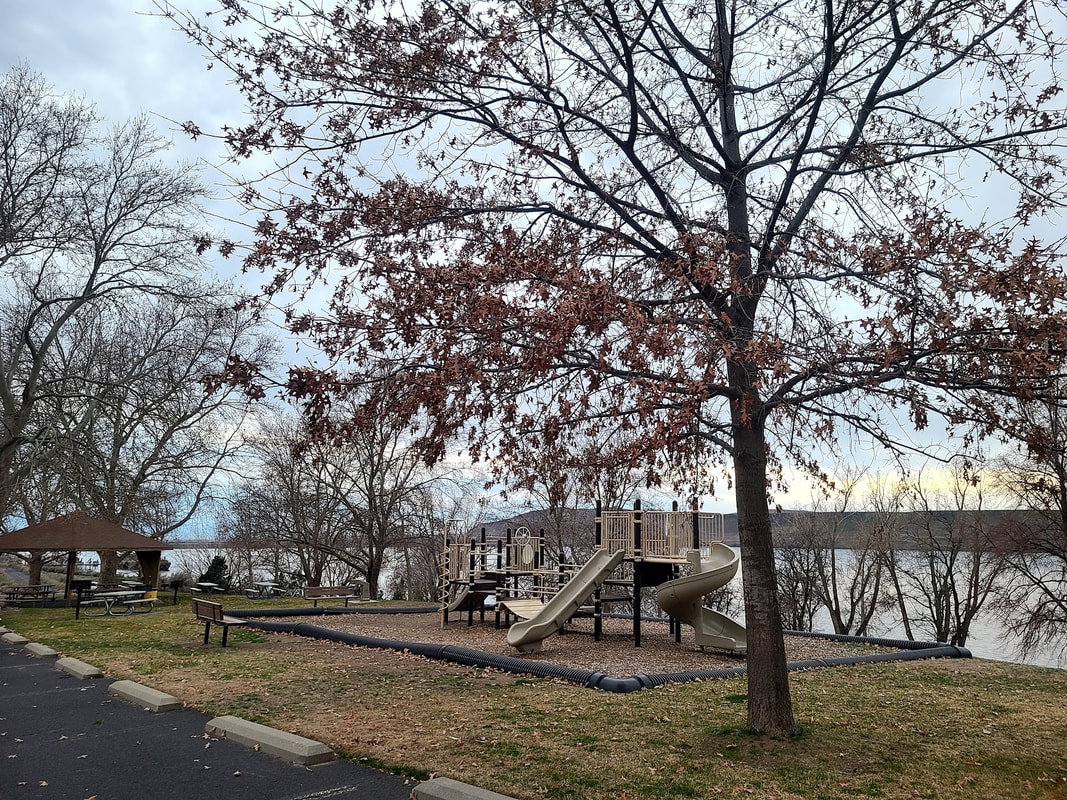
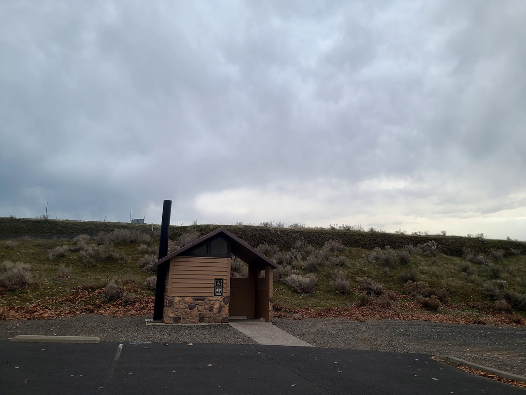
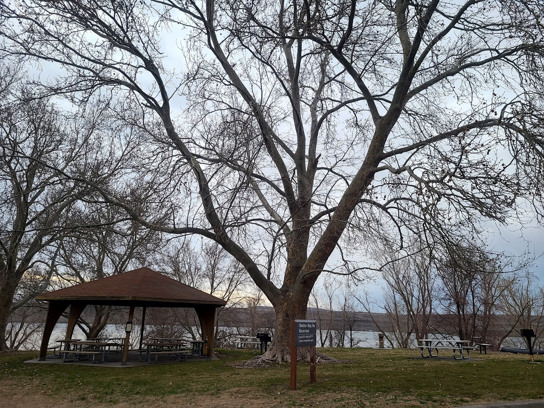
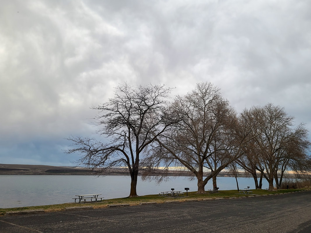
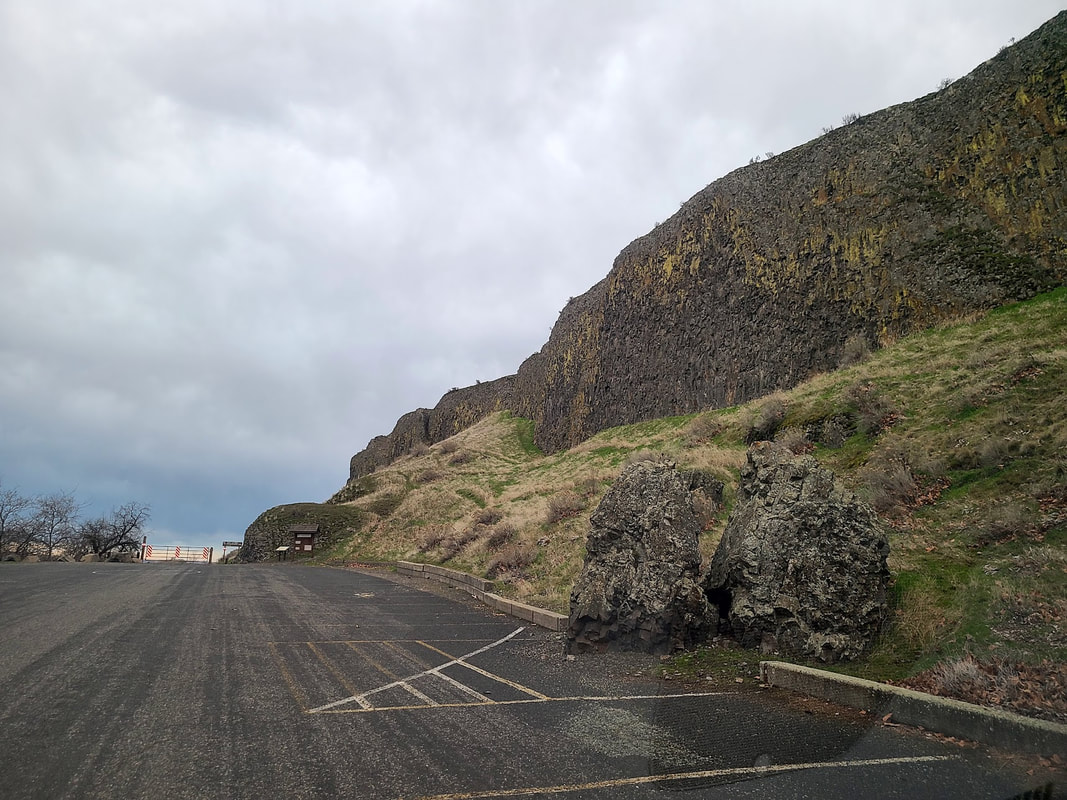
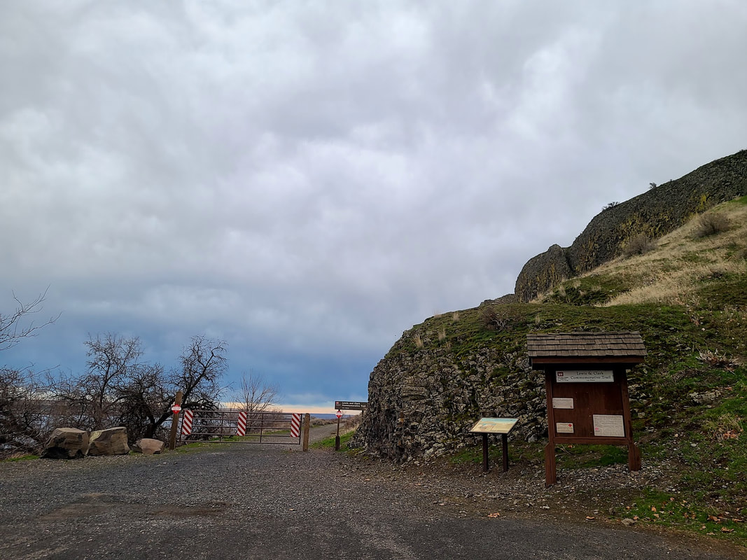
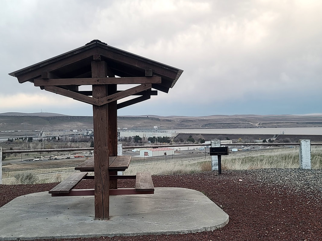
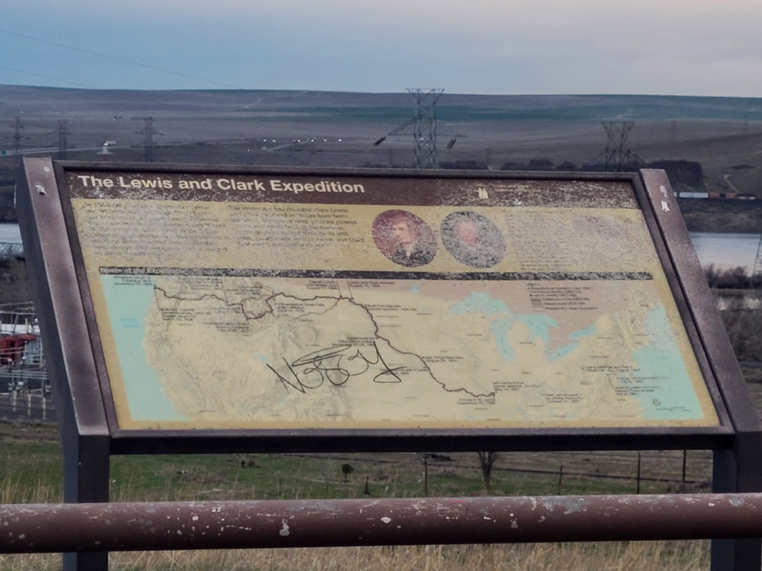
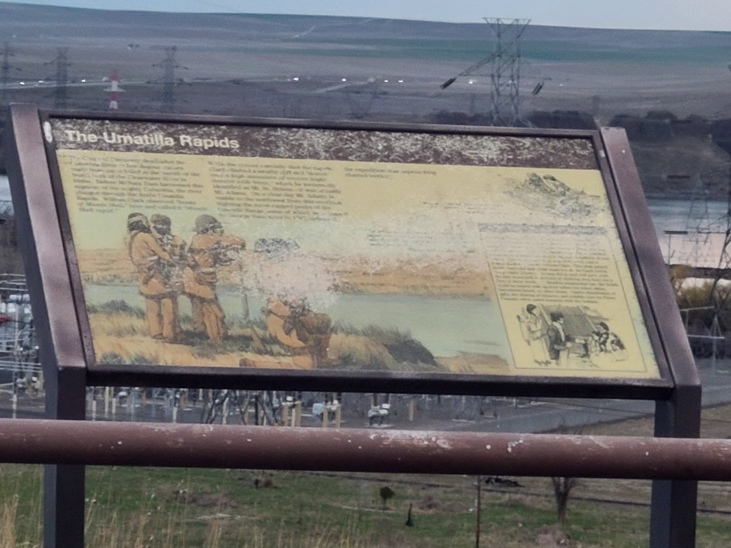
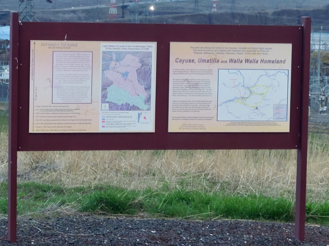
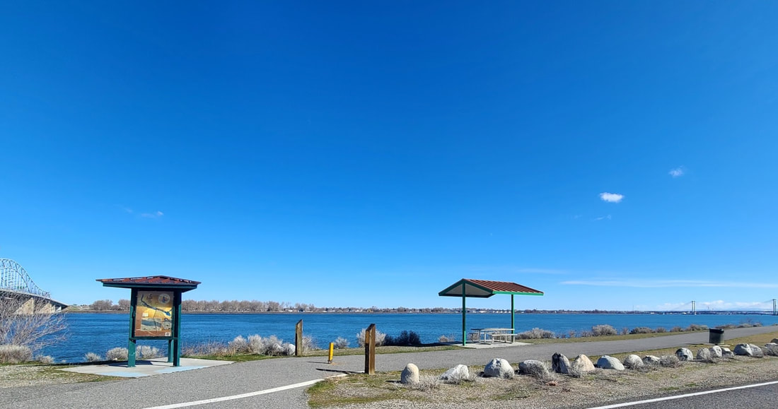
Tri-Cities WA and Hwy 730 in WA & OR Sacajawea Historical State Park, Pasco WA This park on the point of the confluence of the Snake and Columbia rivers has a nice little cram packed museum dedicated to Sacajawea and the Corps of Discovery. It has a paved path with interpretive signs, picnic tables, playground, launch accesses, and more amenities. On one visit we saw a flock of turkeys crossing the road to get to the other side. The road to get there goes through the edge of an industrial area, but fear not, eventually it leads to a pleasant park/recreational area. Photos below from Apr 2021, and June 2021. Wallula, Hat Rock, Lewis & Clark Commemorative Trail, McNary Dam overlook--Hwy 730 The Columbia River is the state boundary between Oregon and Washington for most of their border. But as the Columbia bends from the north at the confluence of the Snake River with the Columbia (the Tri-Cities area of Washington), the state line continues straight to the eastern border with Idaho. Thus, following that bend south on Hwy 12 from Pasco WA and Hwy 730 at Wallula Junction, there are more Corps of Discovery sites to discover: a pull-out for Wallula WA history, Hat Rock OR, Lewis & Clark Commemorative Trail from McNary Beach, picnic pull-out overlook of McNary Dam. Wallula interpretive sign pull-out—Hwy 730 just south of the Wallula Junction with Hwy 12
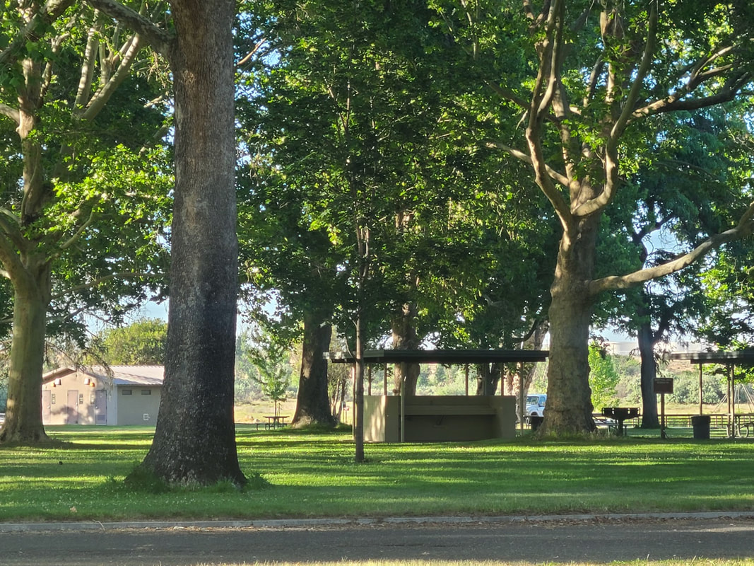
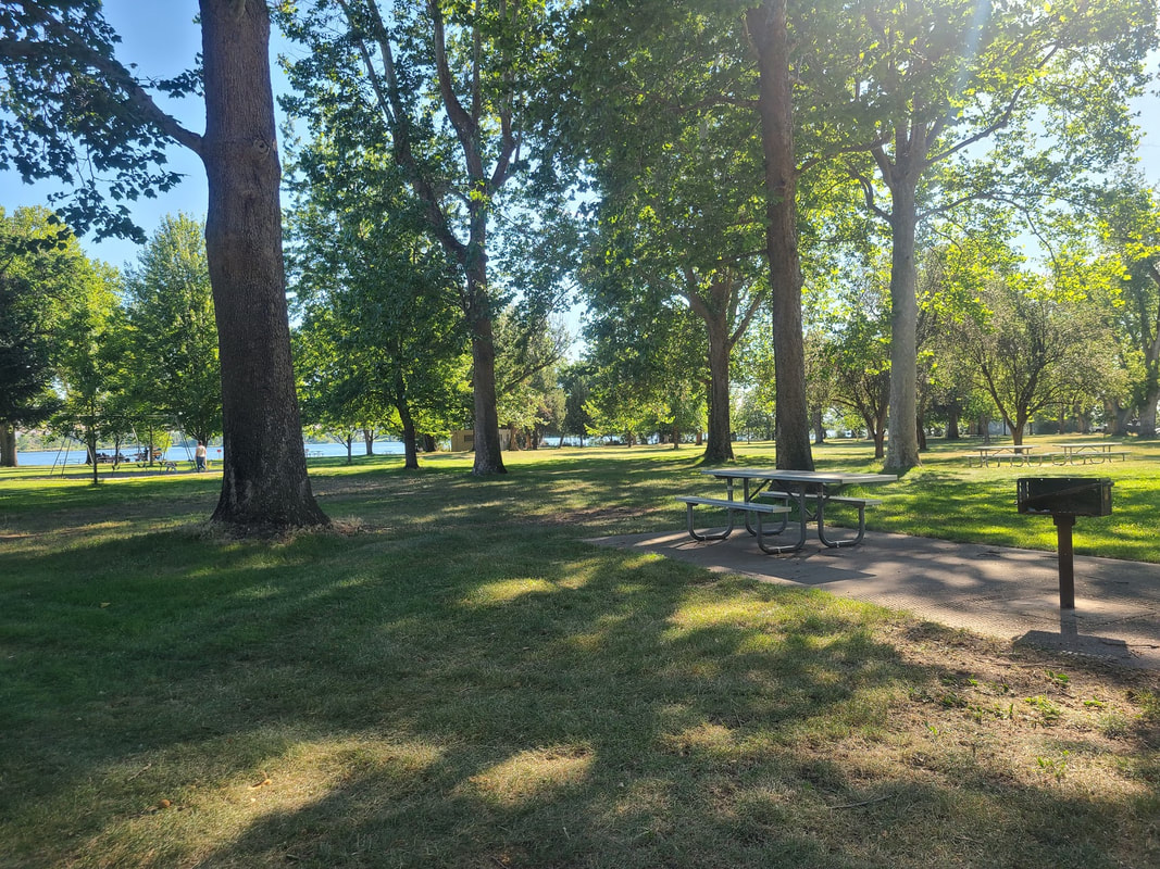
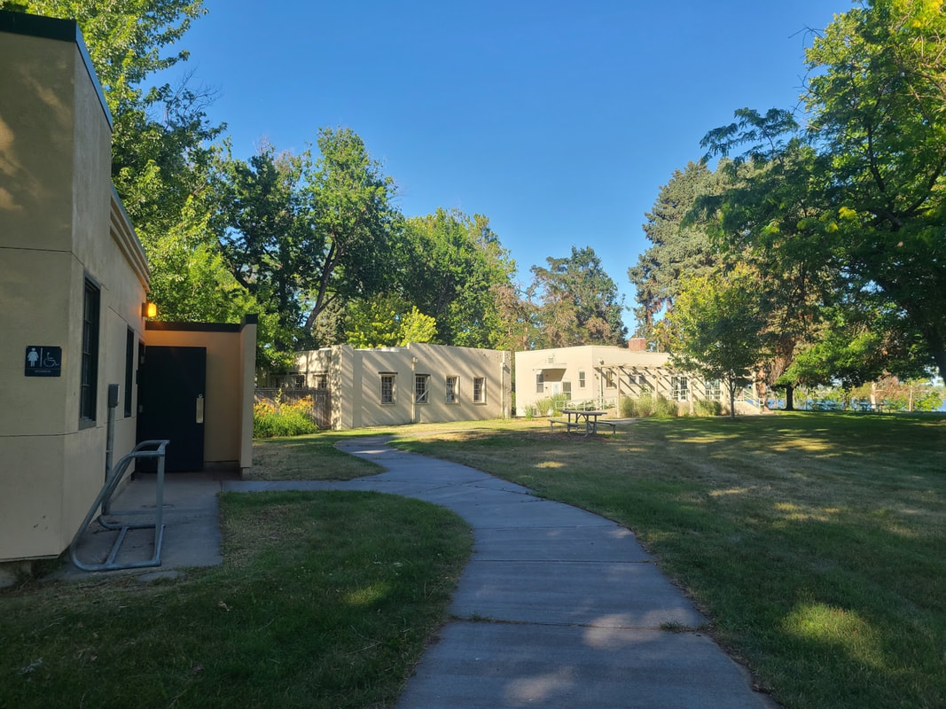
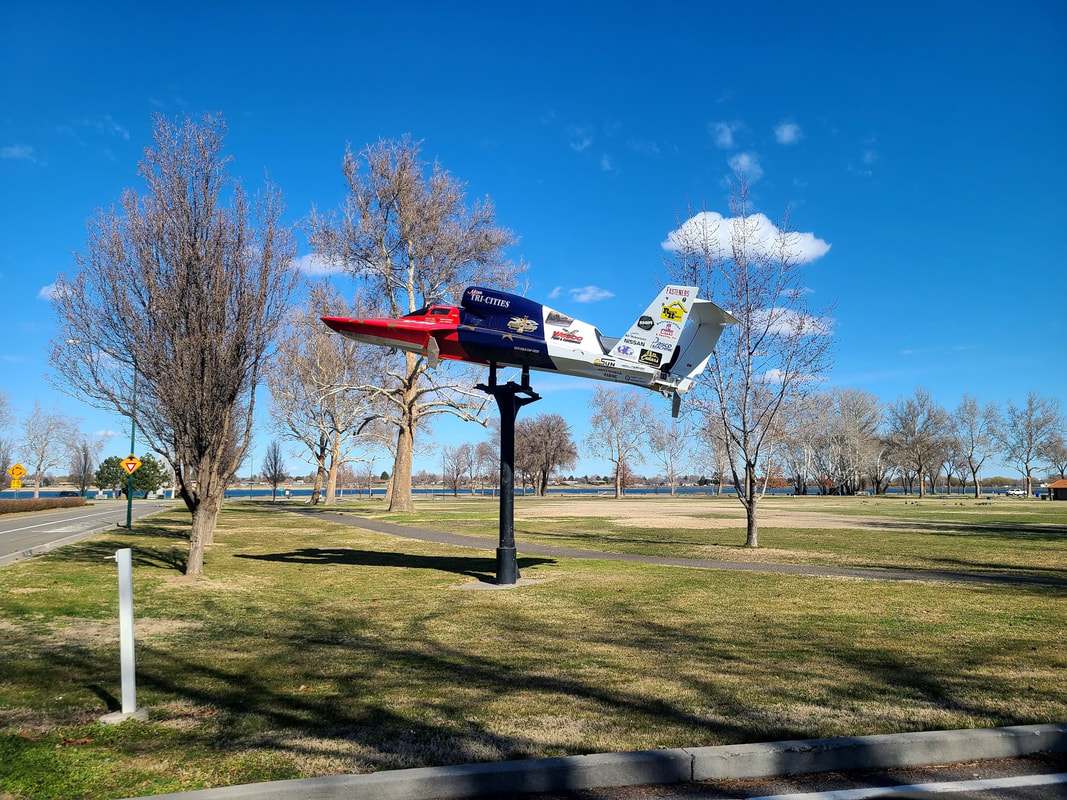
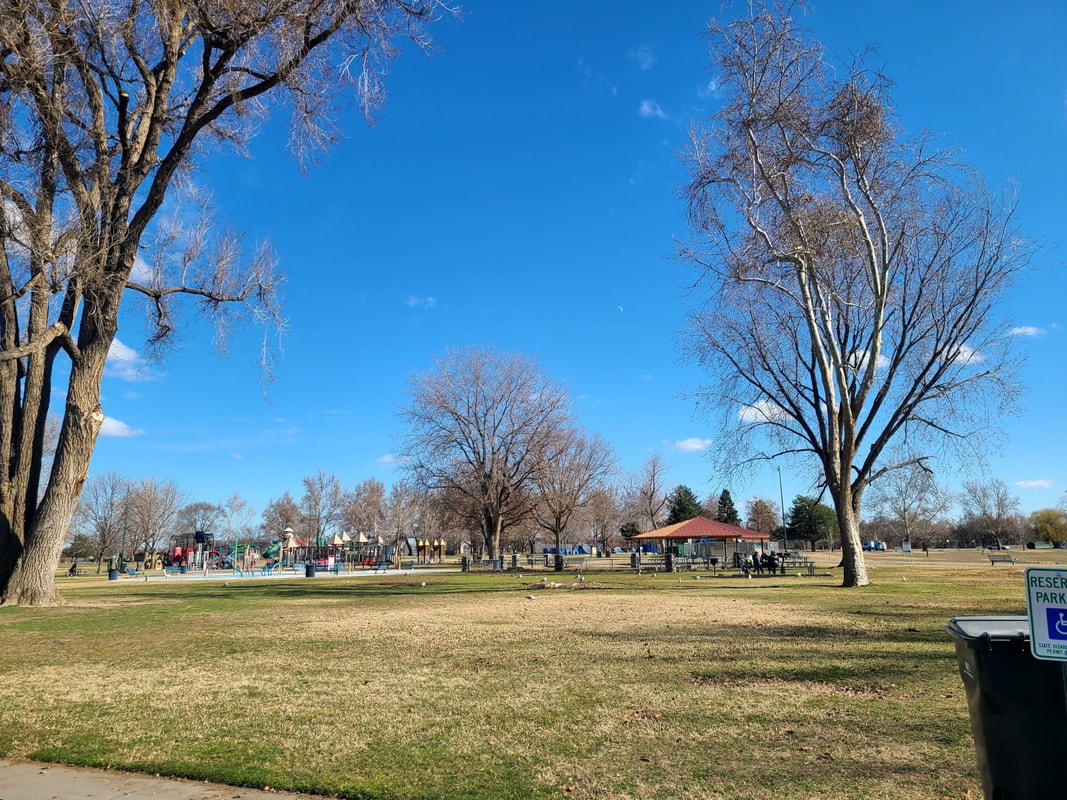
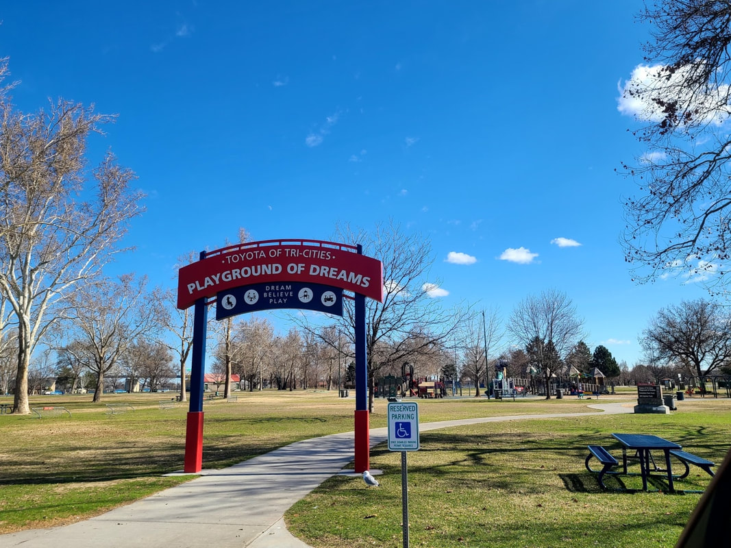
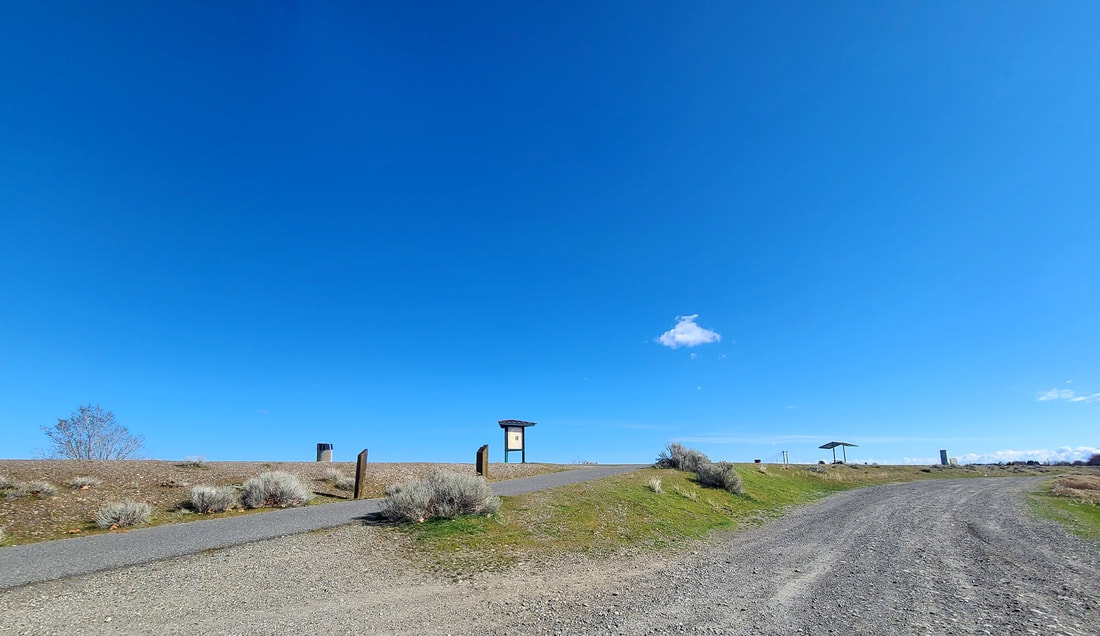
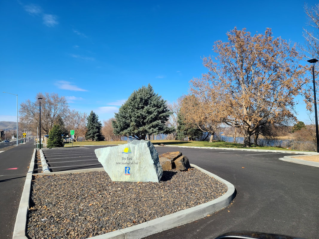
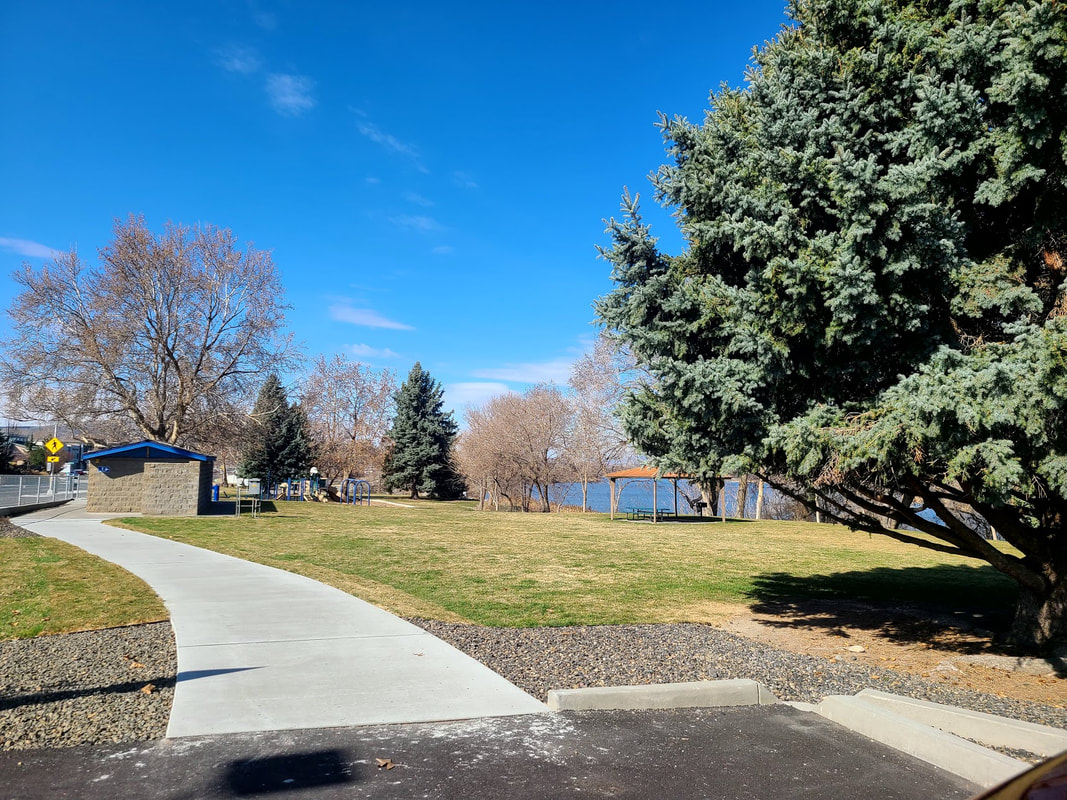
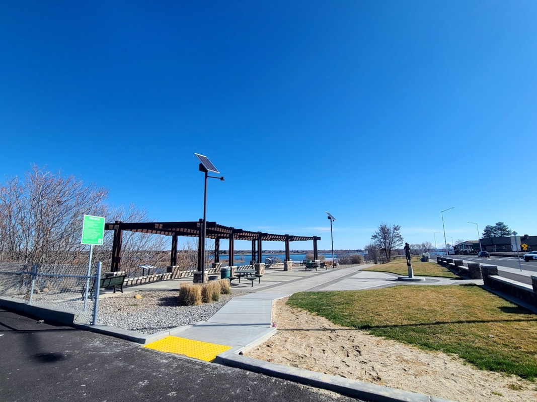
Kennewick & Richland WA Between Hwy 240 and the Columbia River stretches a 400 acre park called "Columbia Park", with lots of picnic options either right on the river or near the other amenities, such as the intriguing "Playground of Dreams", all sorts of sports fields and facilities, Veterans' Memorial, restrooms, and trails. Pertinent to this post is the "Sacajawea Heritage Trail" looping from there over 20 miles as far as Sacajawea State Park at the confluence of the Snake & Columbia rivers in Pasco WA, and for most of the way travels both sides of the Columbia River. There are multiple ways of accessing it, but I first found the access points in Kennewick's Columbia Park. Some access points might be challenging in a wheelchair.
Part Two to come: Sacajawea Trail 2--Traveling down the Columbia River to the Pacific Ocean
0 Comments
|
Wheelchair WomanI've been in a wheelchair for 30+ years. It poses some challenges for traveling. Maybe others can benefit from my experiences. Archives
June 2024
Categories
All
|


 RSS Feed