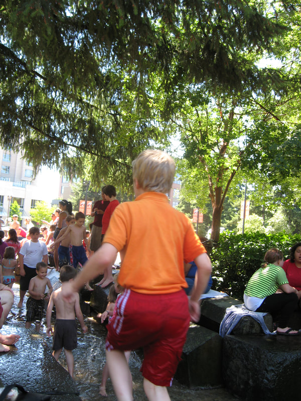
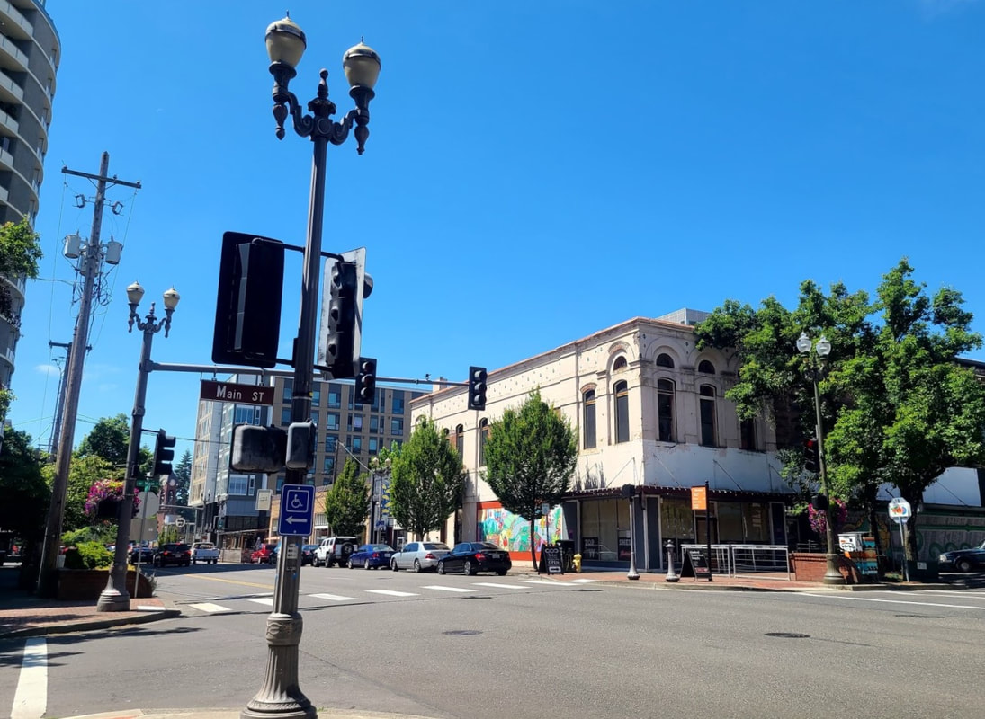
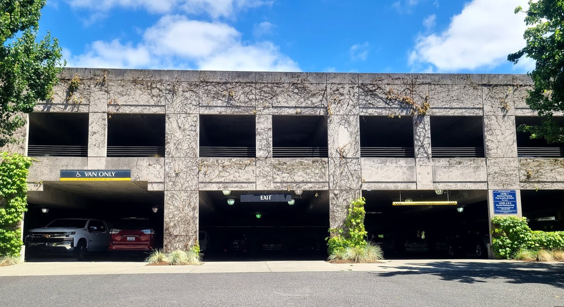
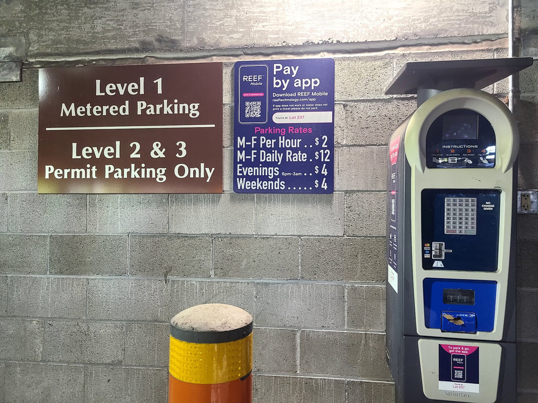
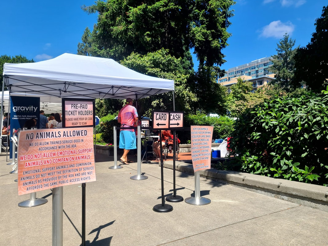
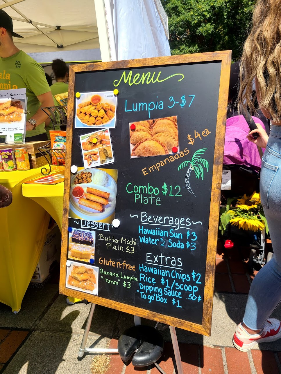
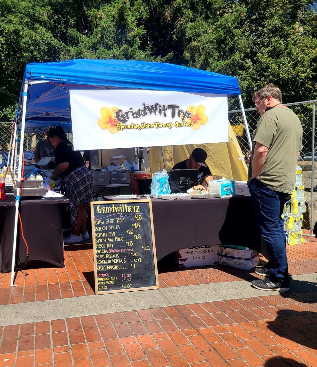
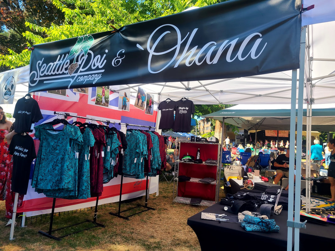
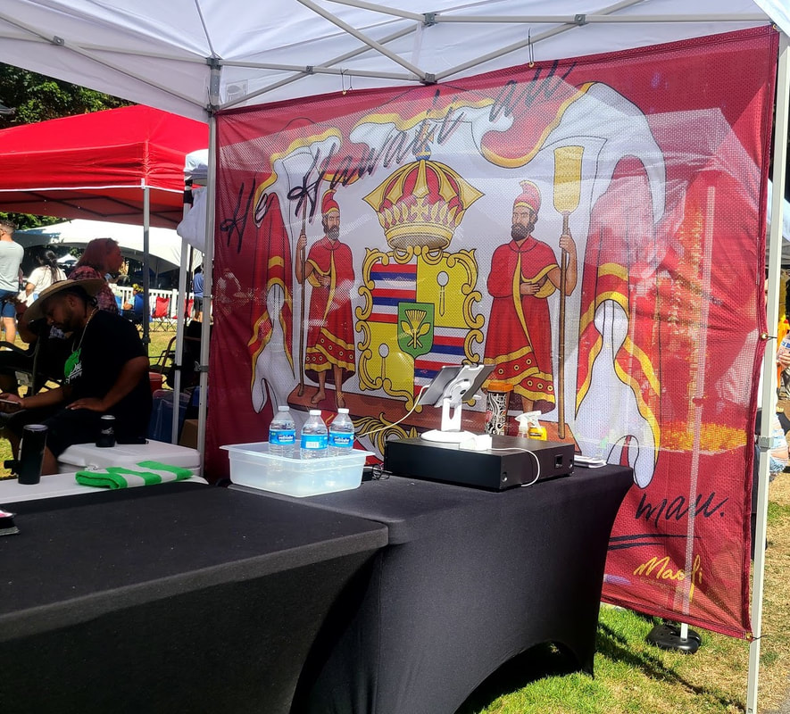
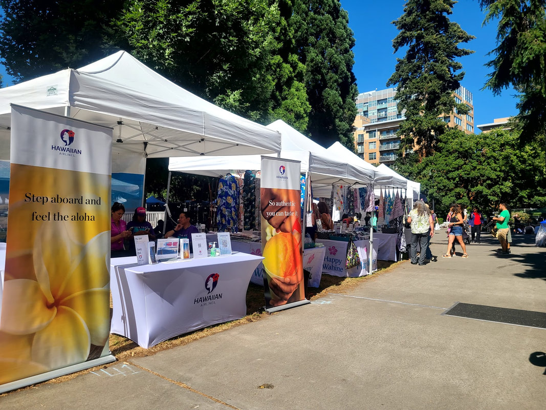
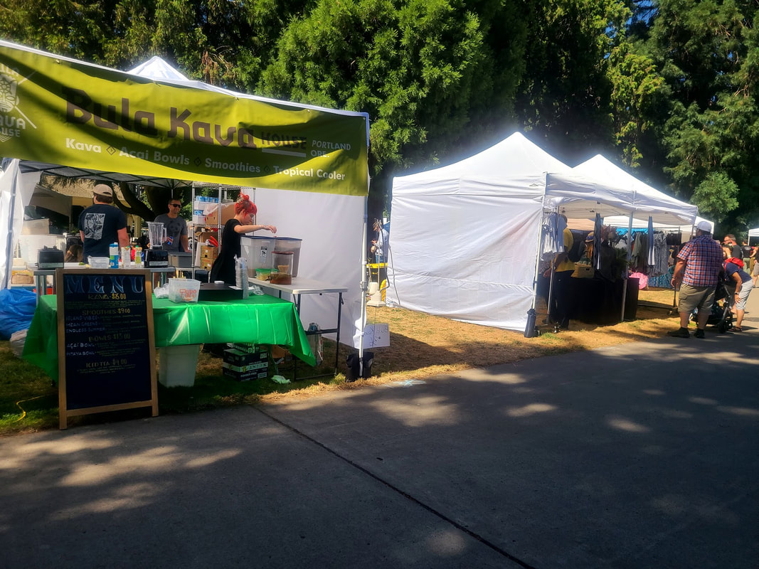
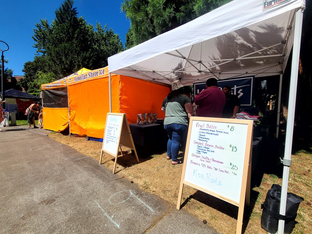
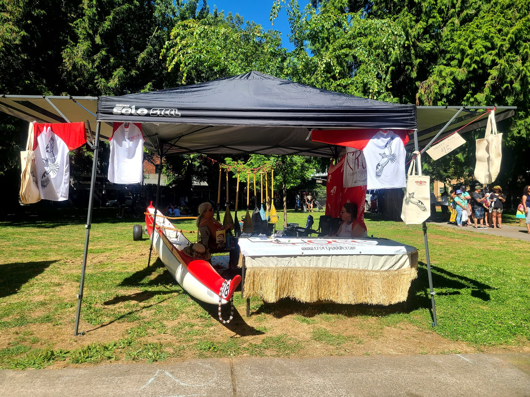
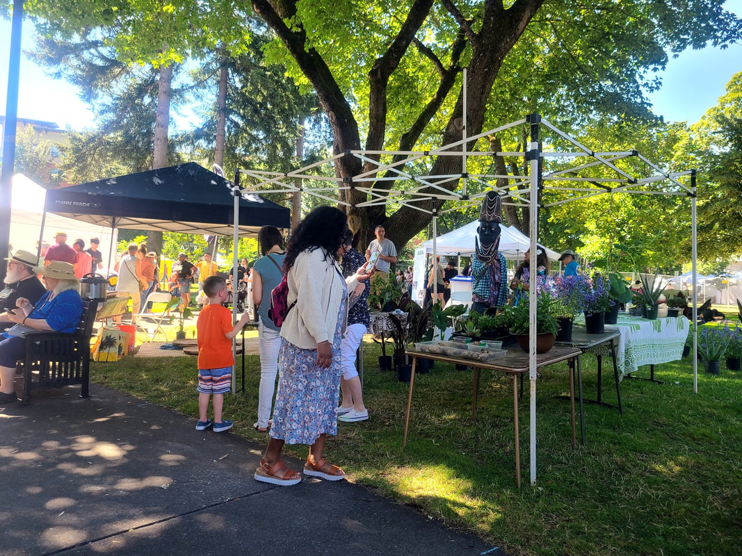
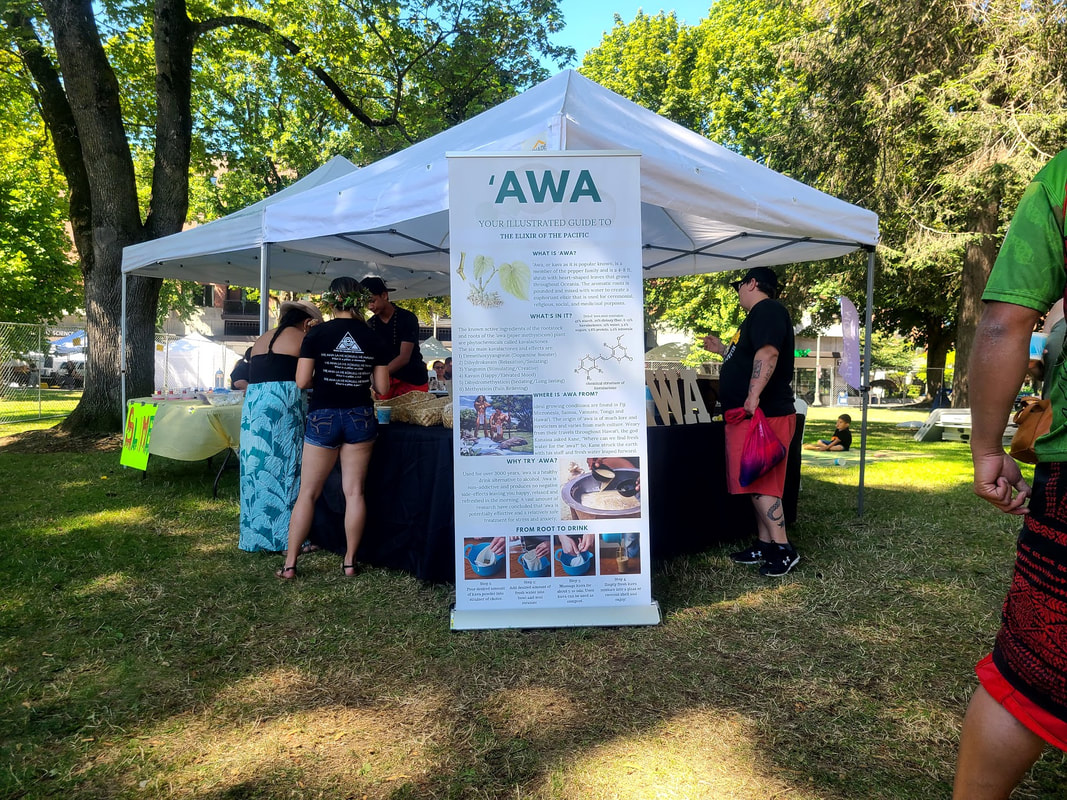
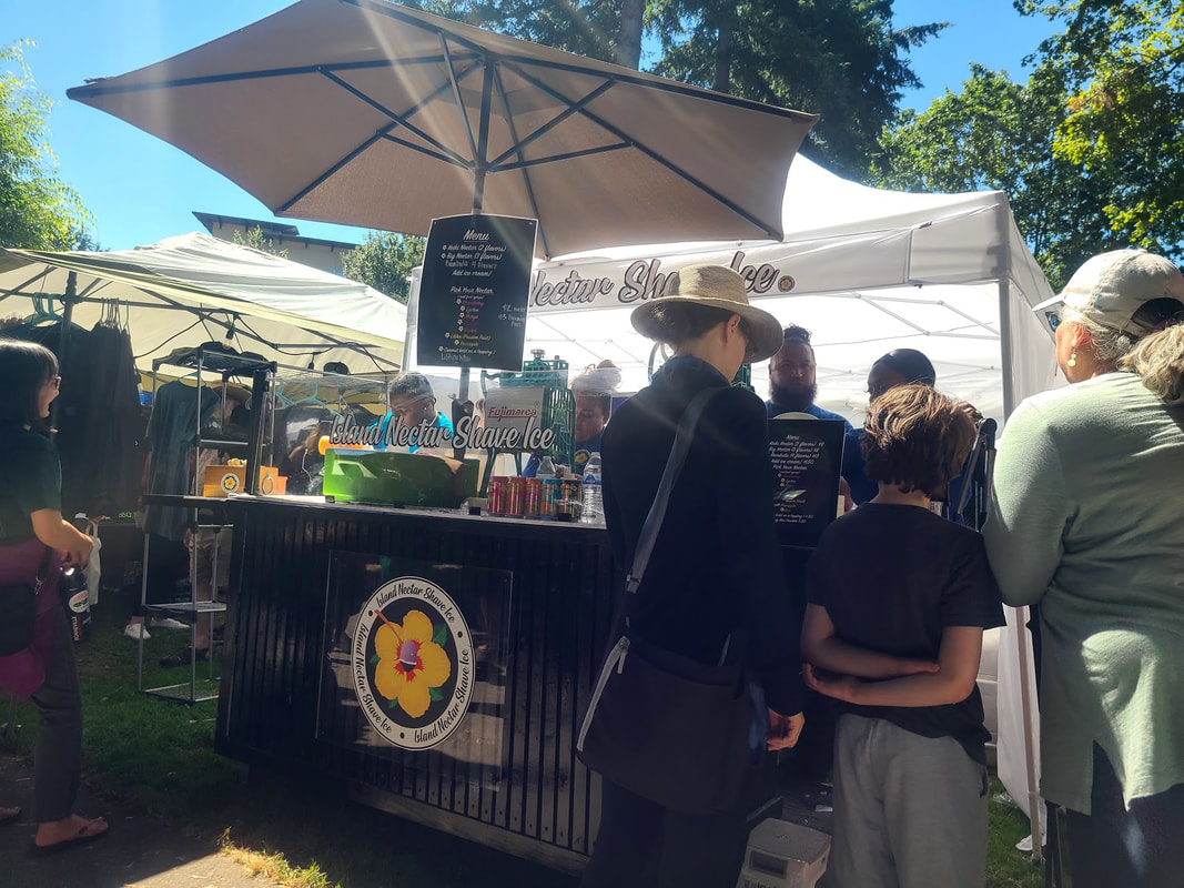
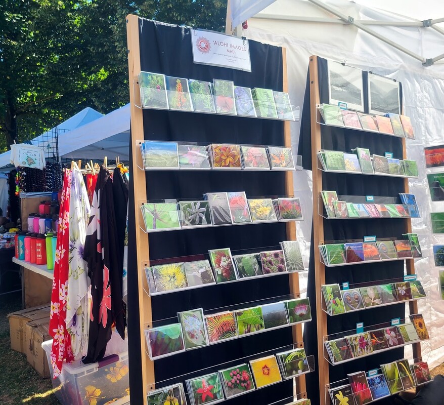
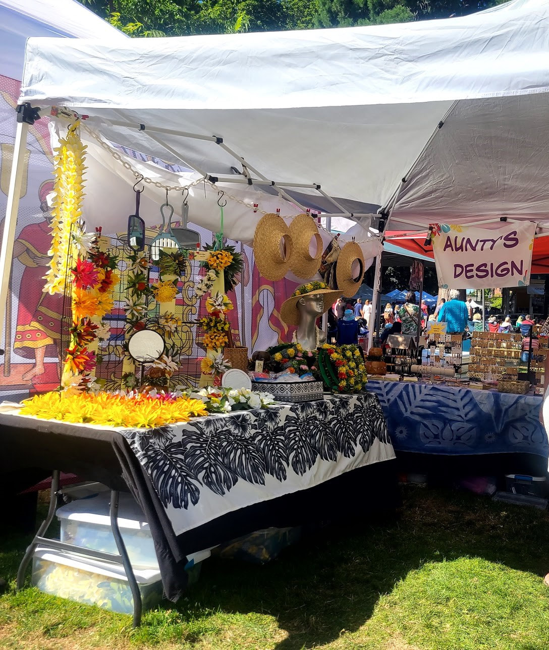
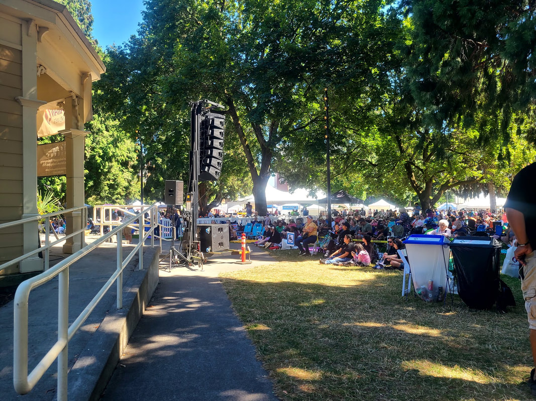
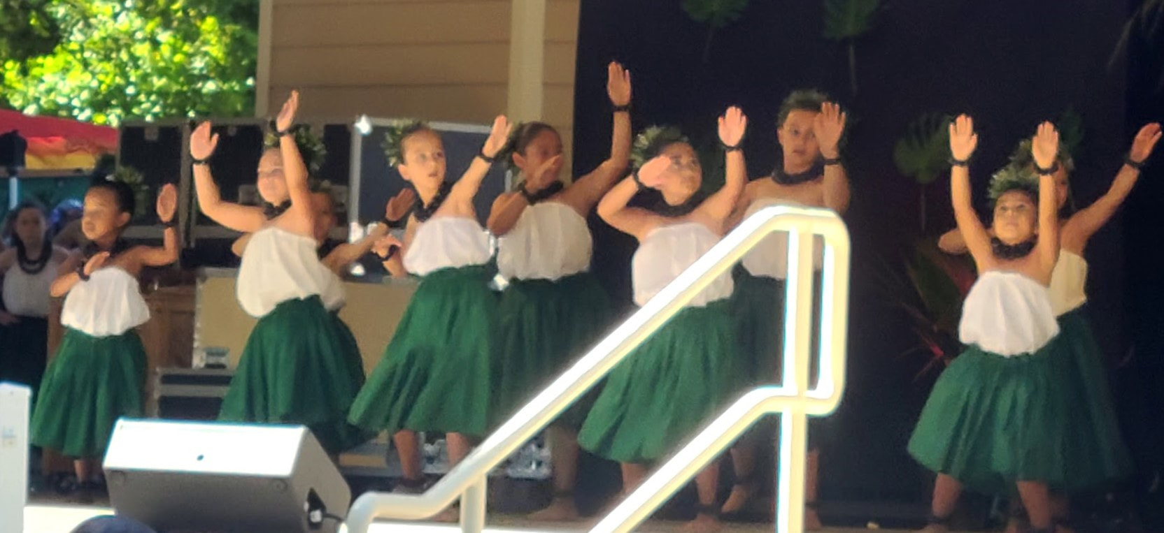
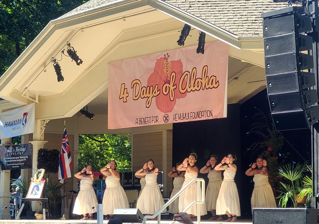
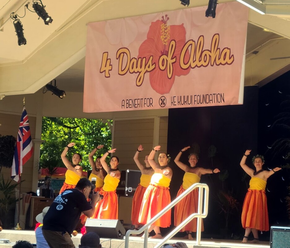
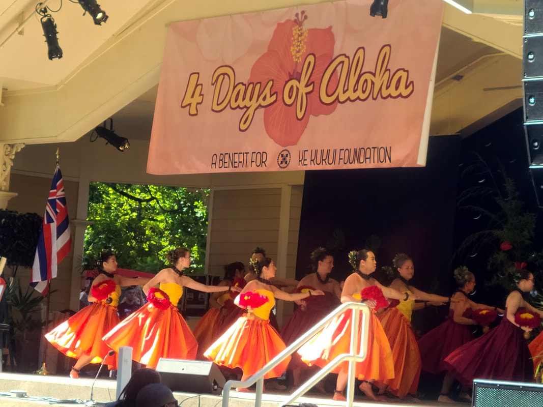
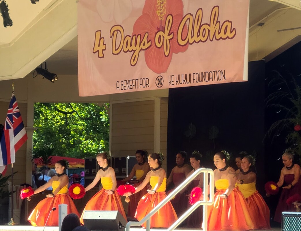
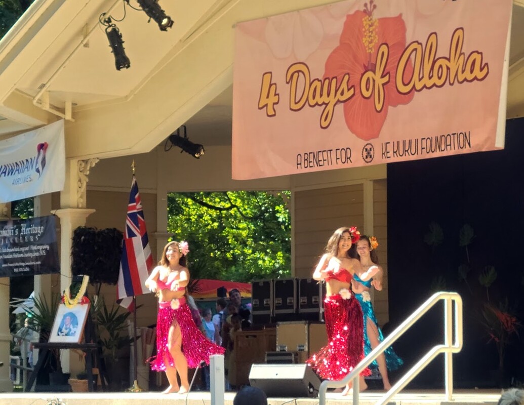
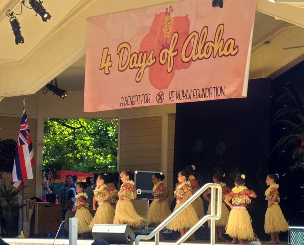
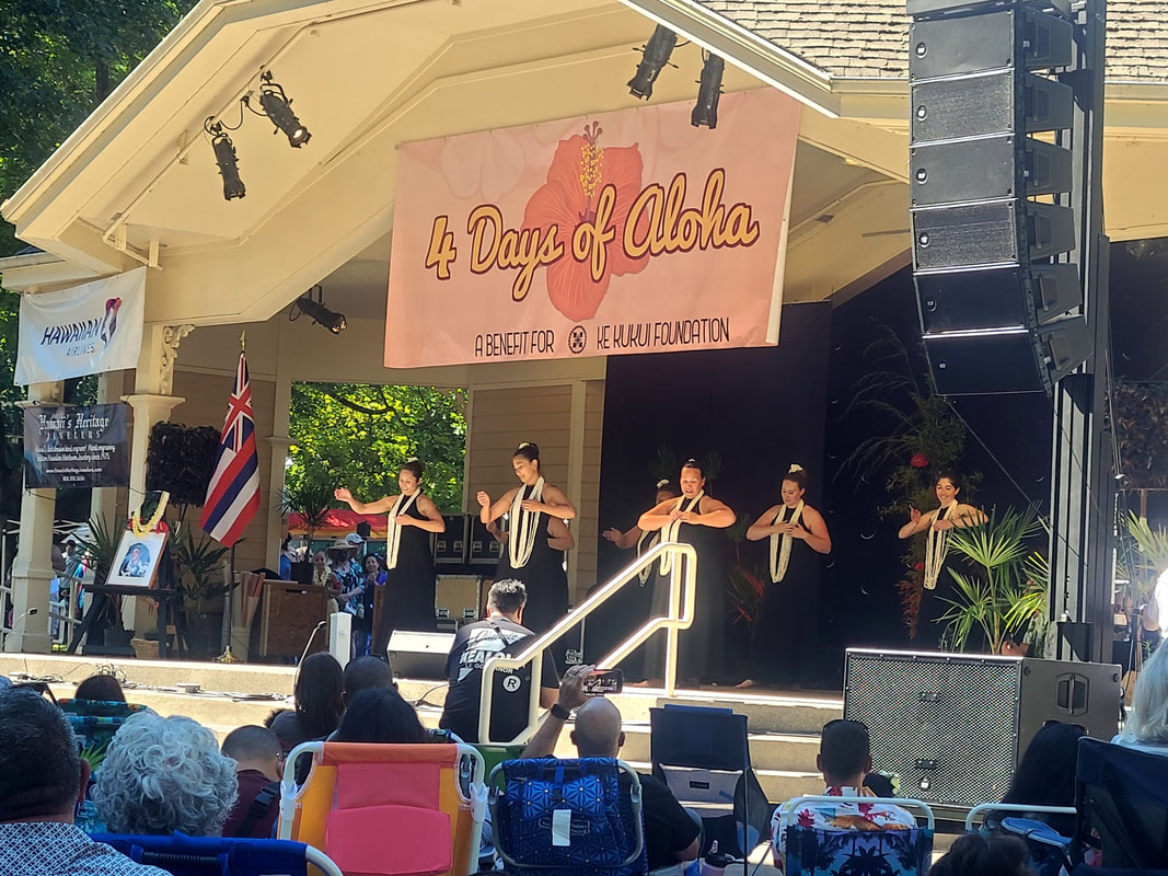
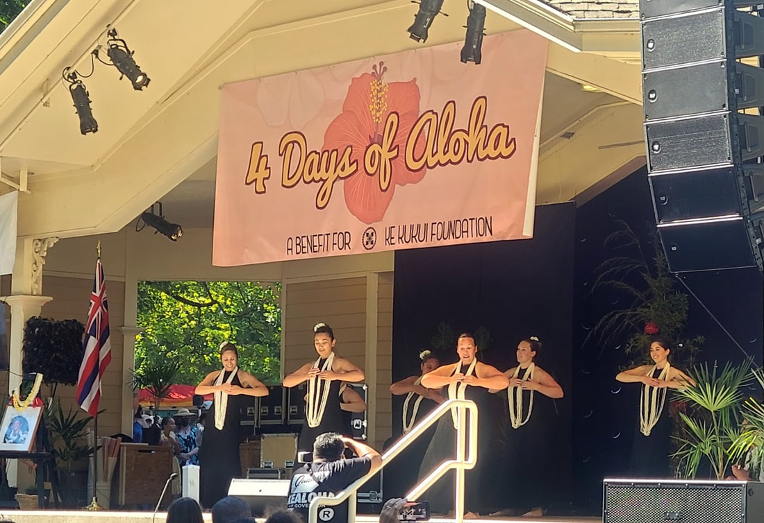
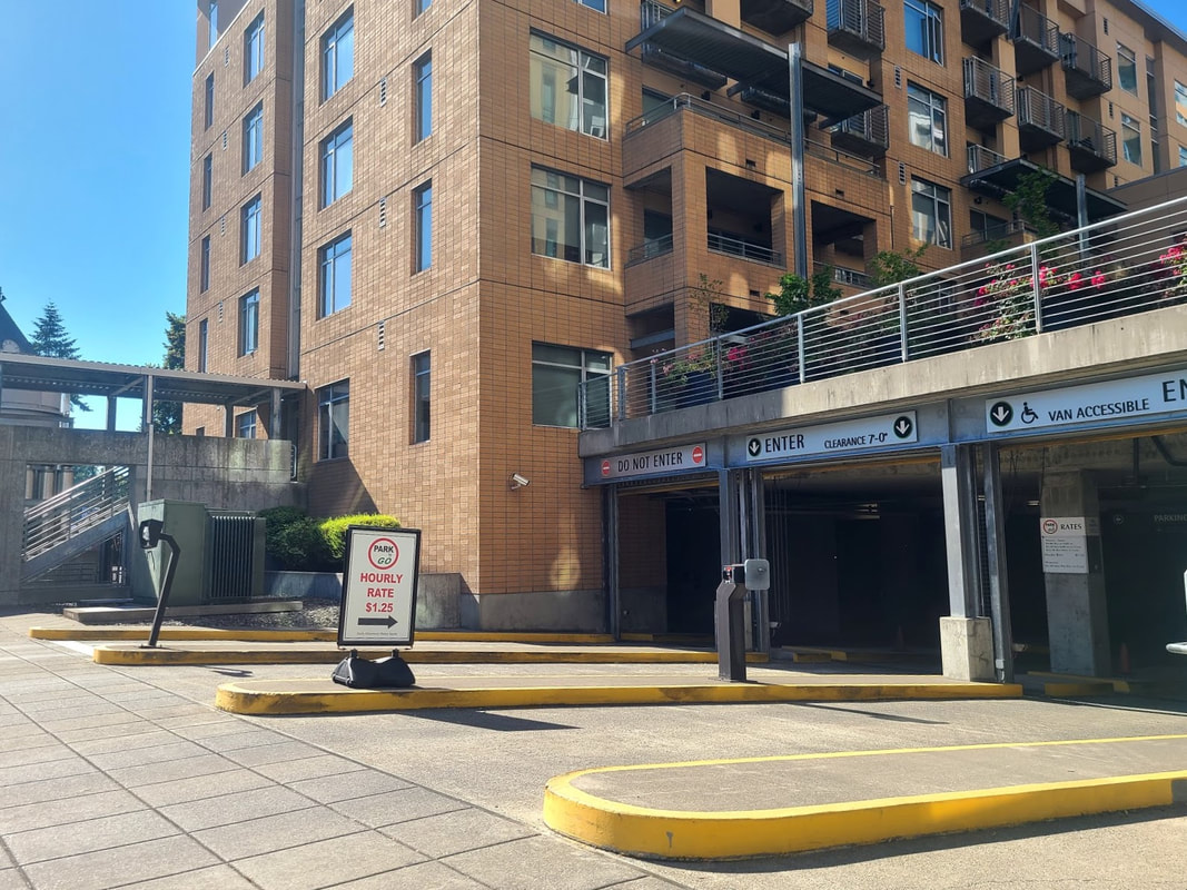
July 2022 update After a couple years' cancellation due to COVID, the Hawaiian Festival ("4 Days of Aloha") returned to Esther Short Park in 2021, which I missed. In 2022 it was held the weekend of July 21-24. The first 2 days were classes & workshops, Thurs night was a party, Fri night was a concert. Saturday festivities were performers & dancers all day, as well as vendors. Sunday was a 5K/10K run, and a multi-cultural program representing the many peoples of Hawaii. All events/days had a ticket price. I had determined to go on Saturday. In previous years the Saturday festivities were free, but it costed me $10 to get in. I got my ticket ahead online, but plenty of people were buying them at the gate. On my way into downtown at 6th St, I saw a handicapped sign with an arrow. Considering the amount of traffic and the probable difficulty of finding parking, I followed the sign. Not only did I encounter handicapped parking, it was in a garage (costed me $4 for the day), so that my car was protected from becoming an oven. Vancouver Mall--8700 N.E. Vancouver Mall Drive, Vancouver, WA 98662
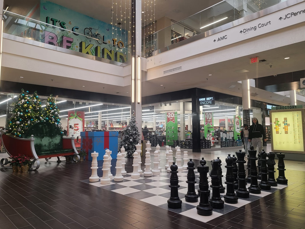
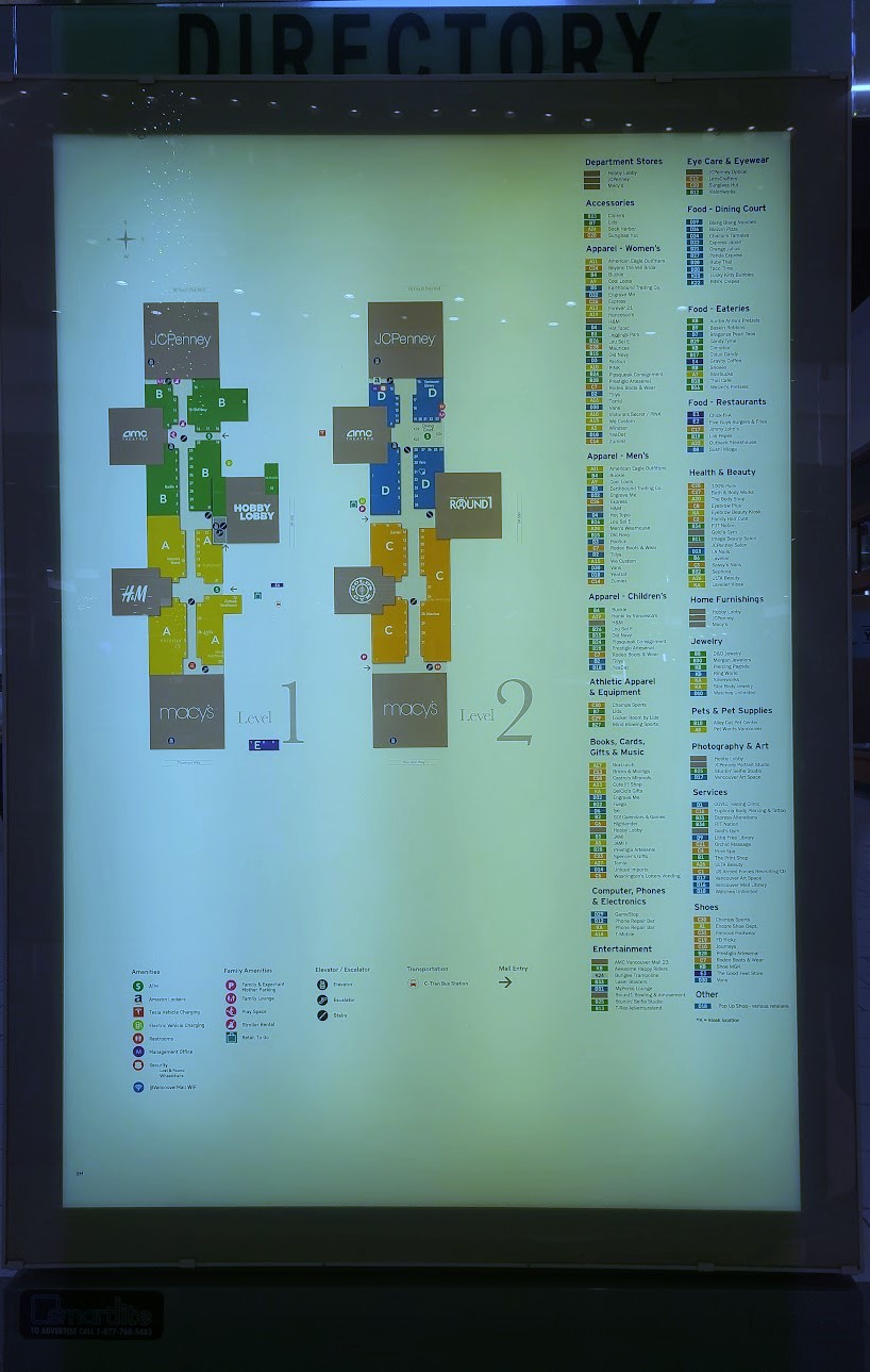
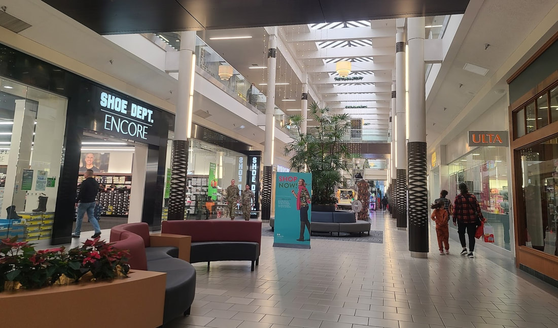
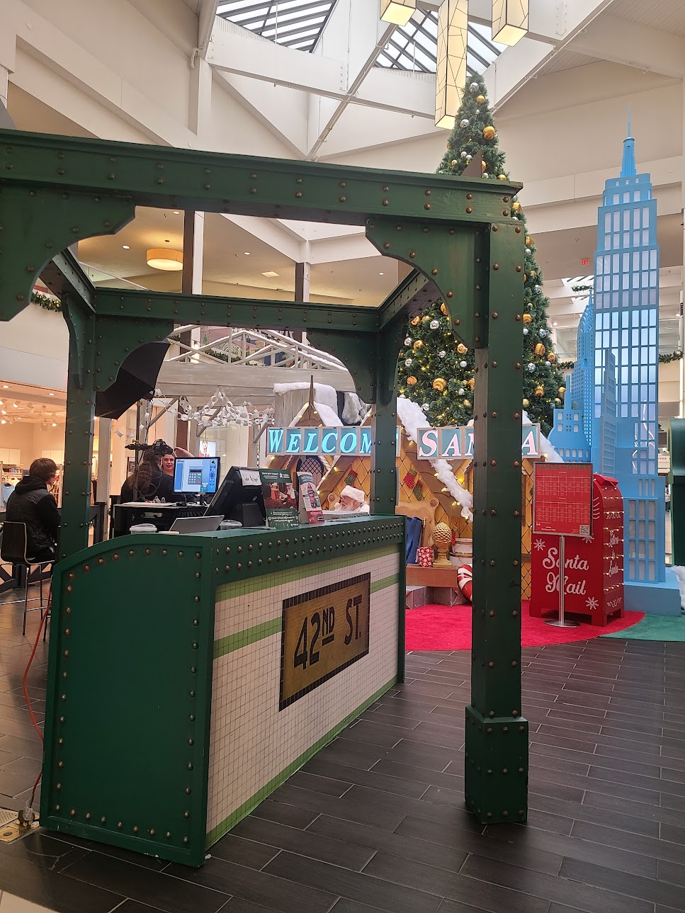
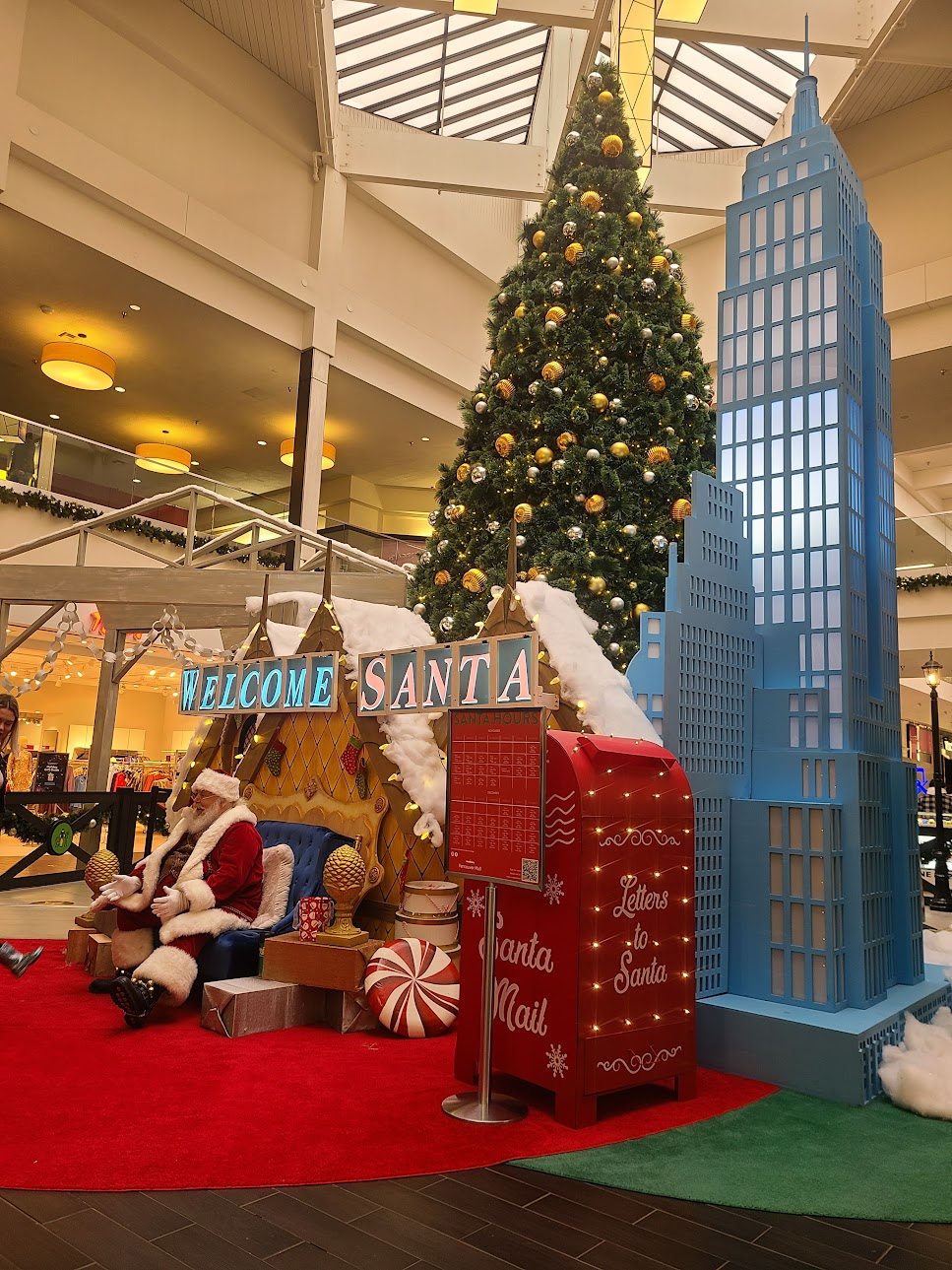
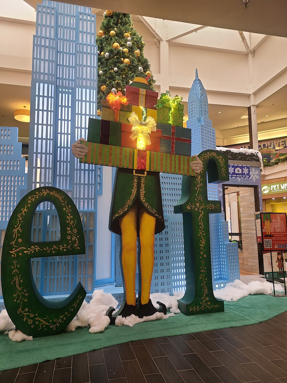
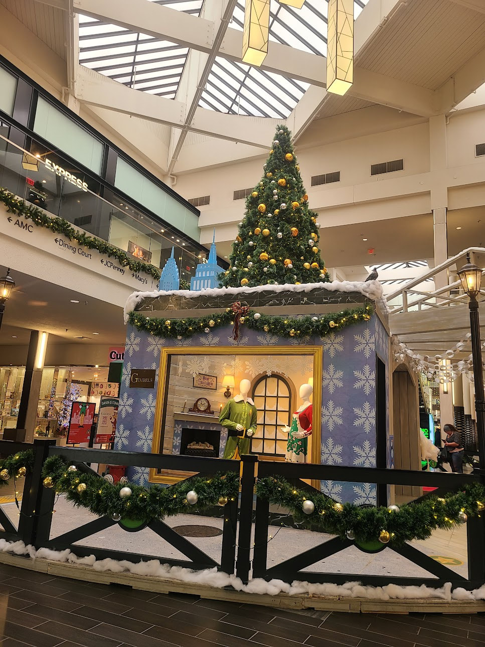
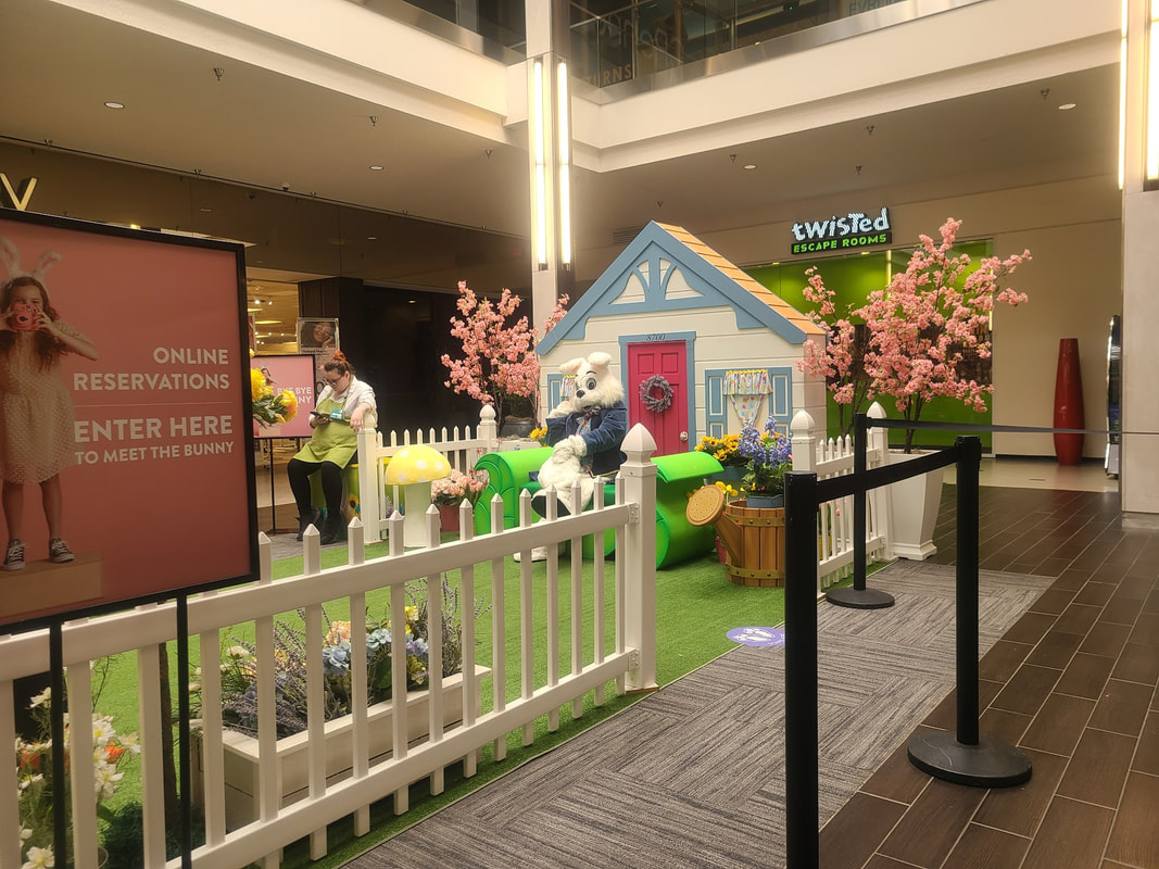 Easter bunny photo op at Vancouver Mall, Vancouver WA
4 Comments
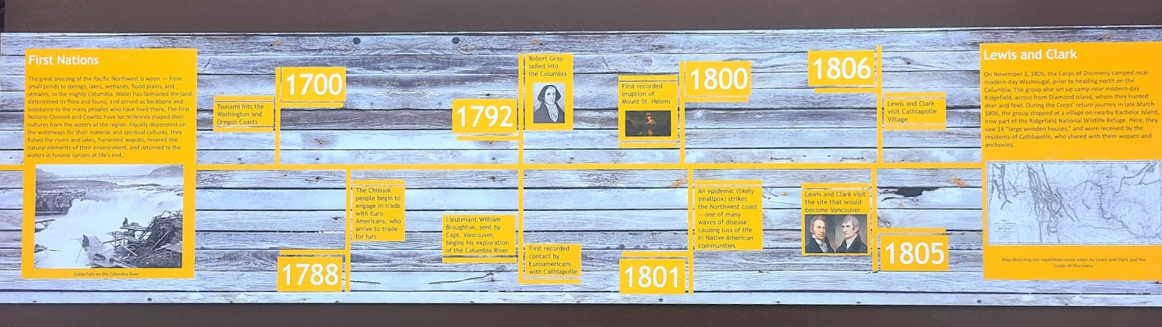
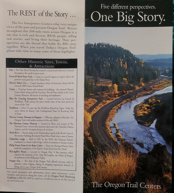
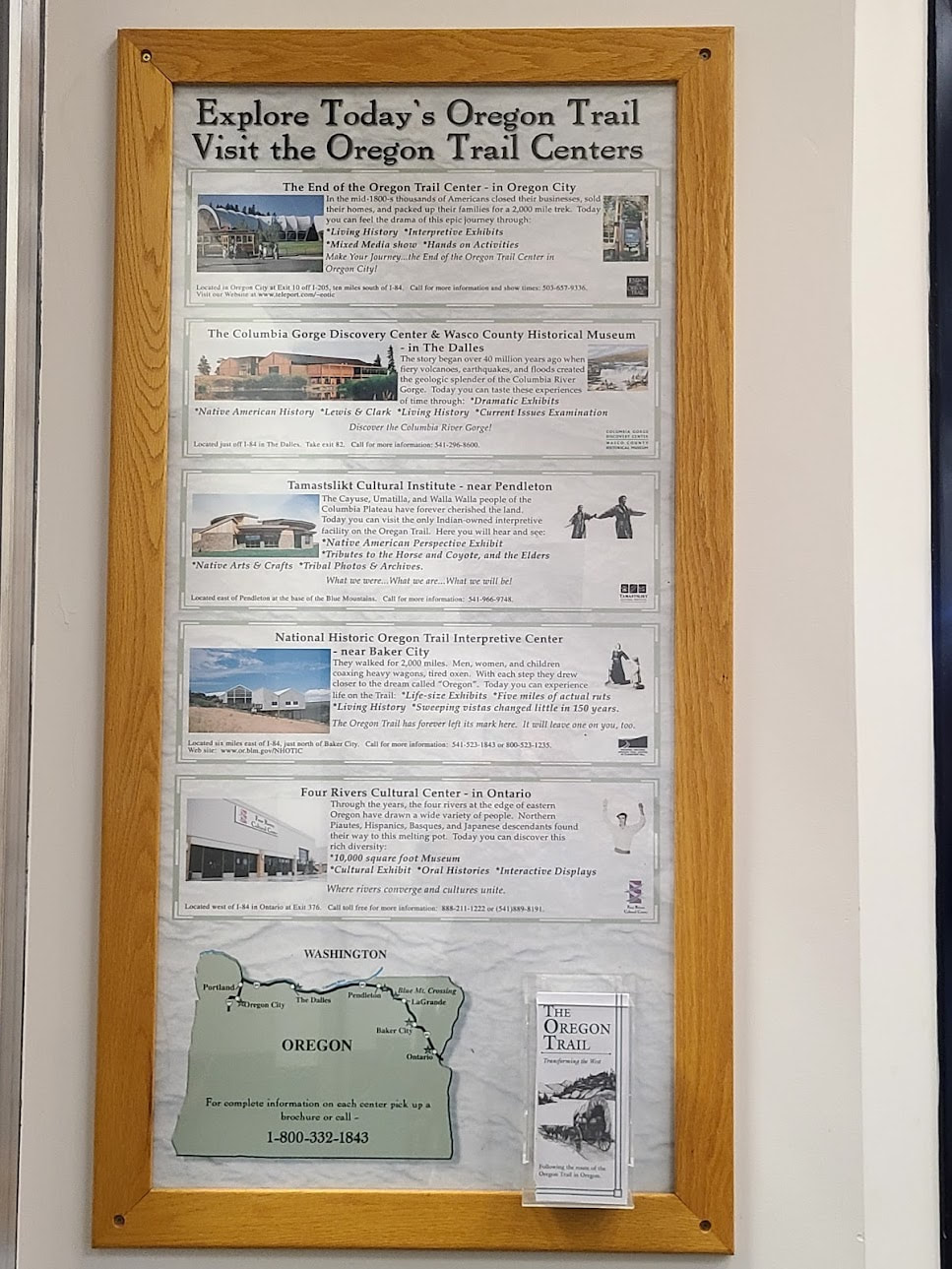
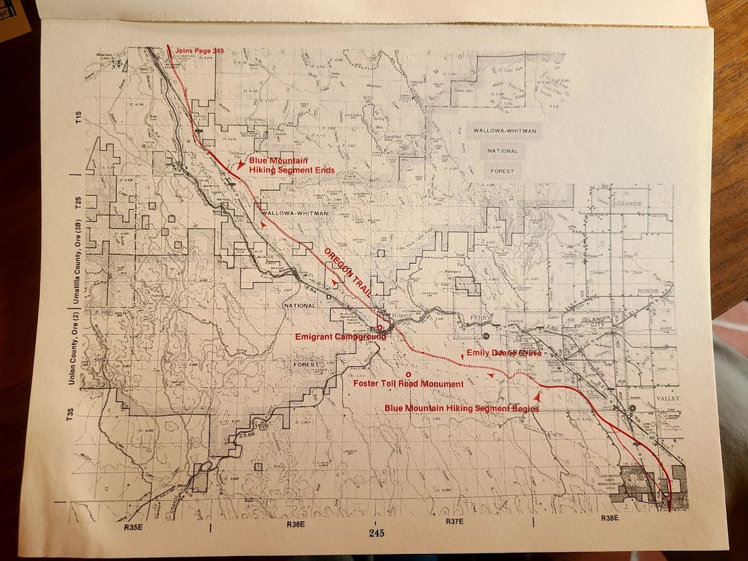
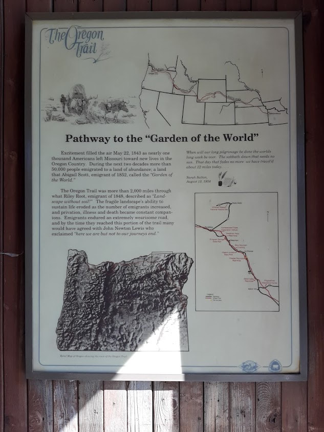
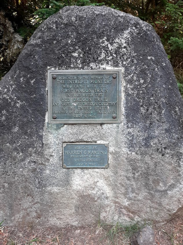
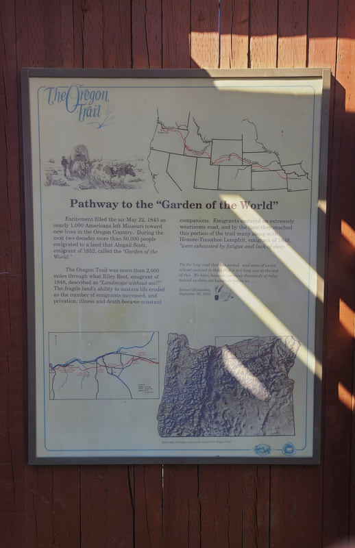
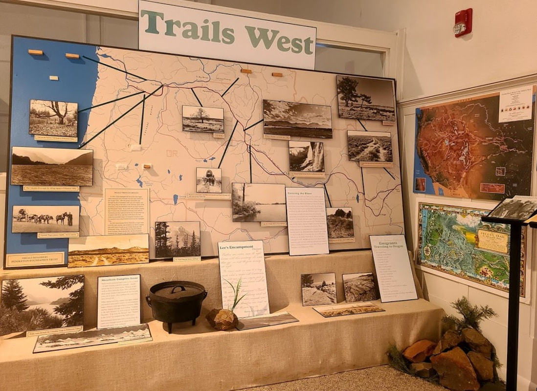
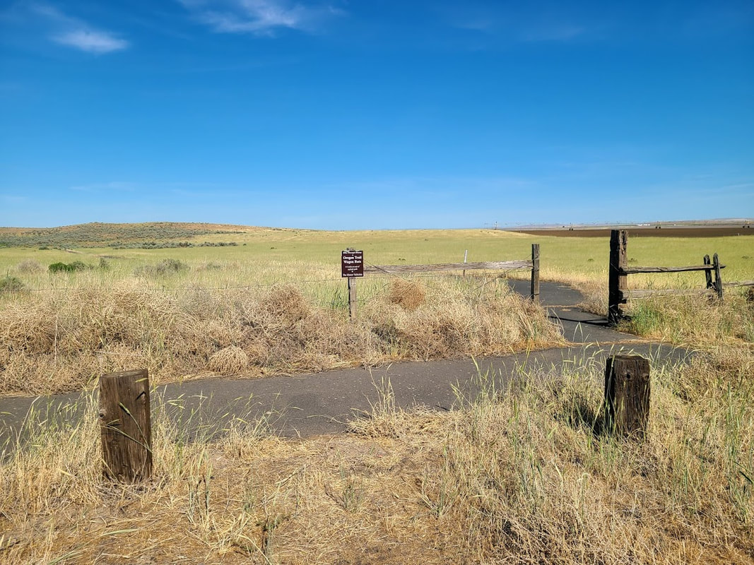
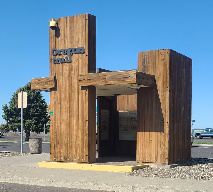
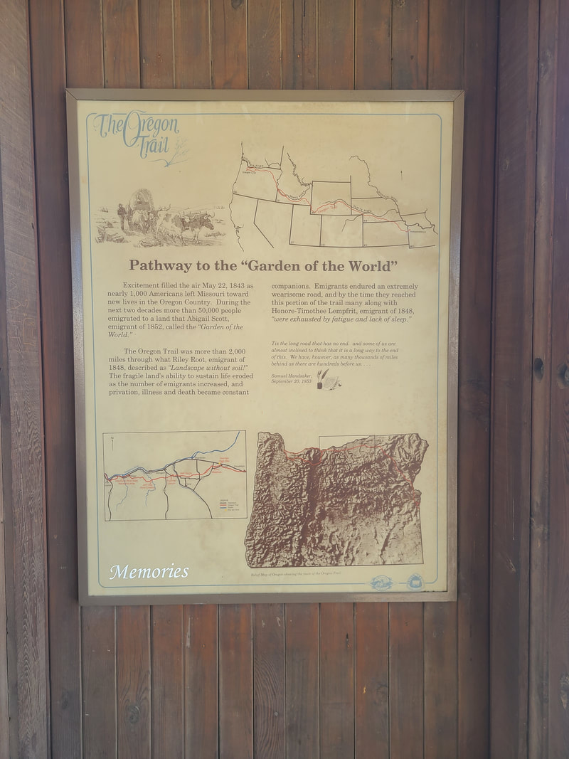
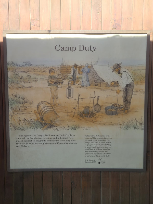
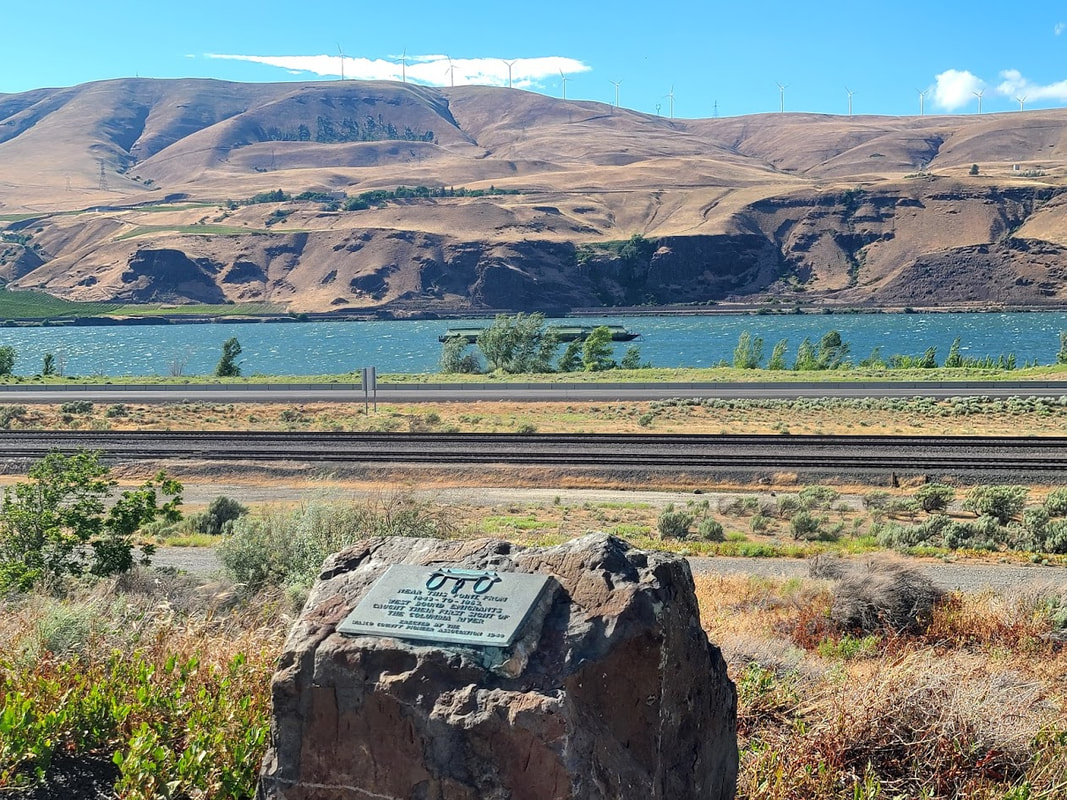
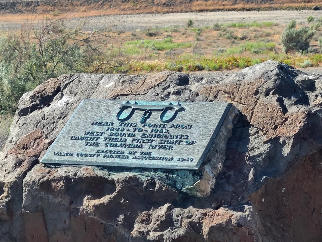
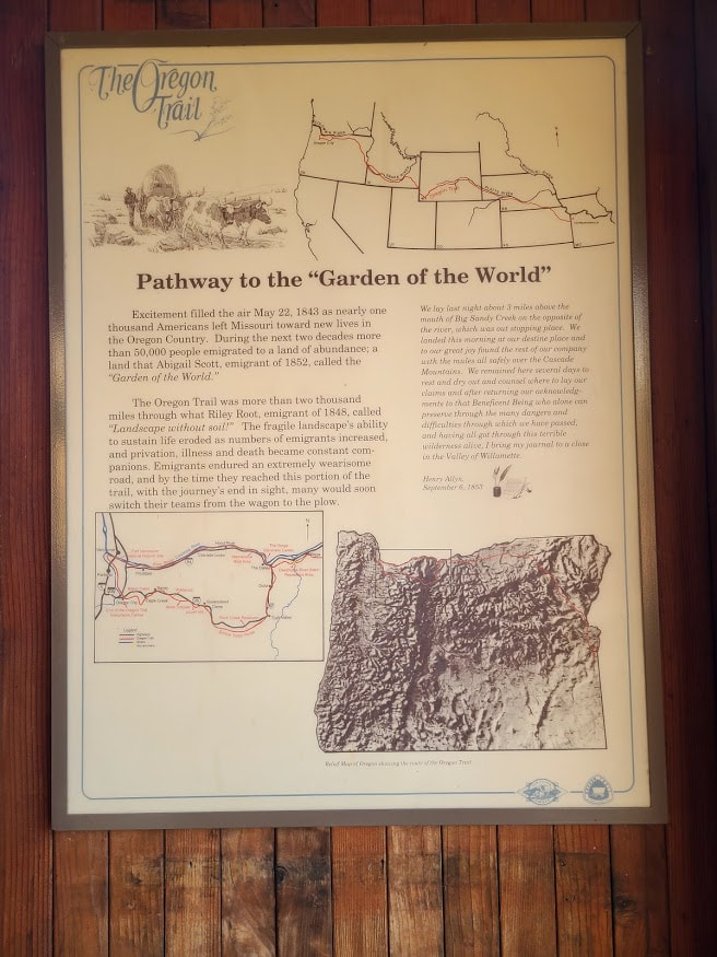
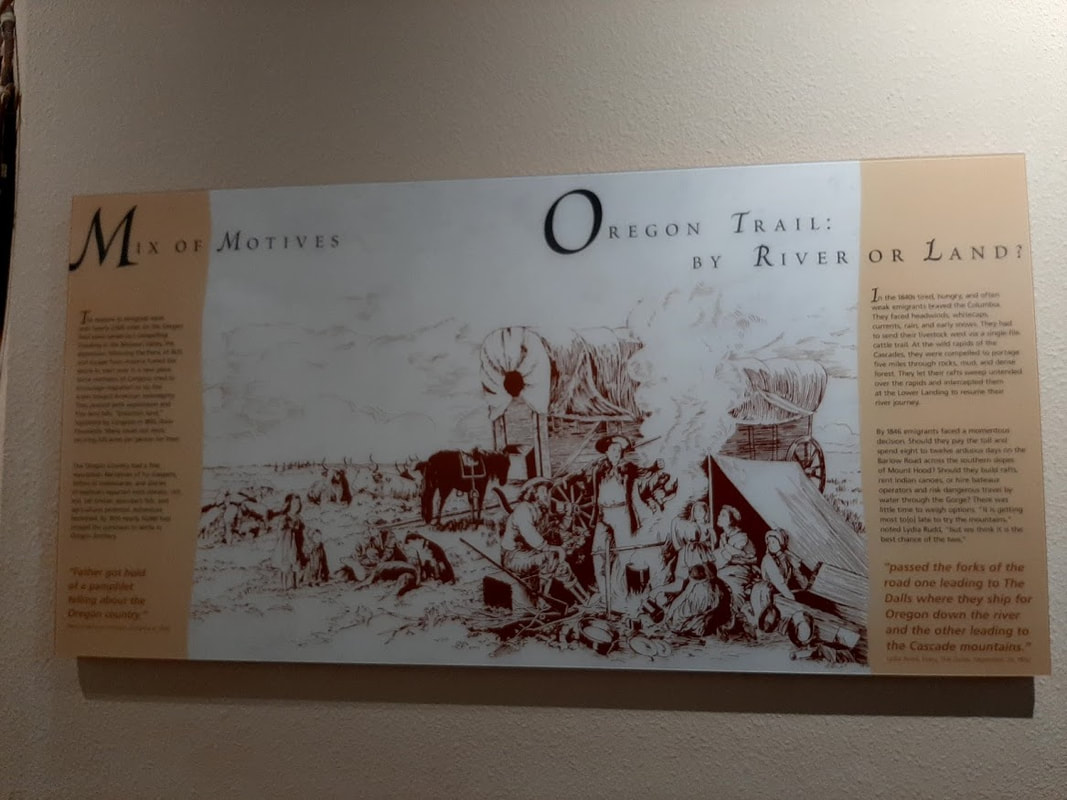
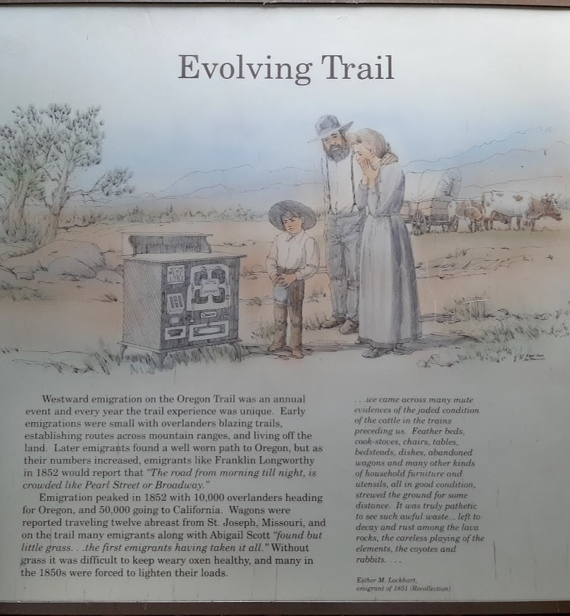
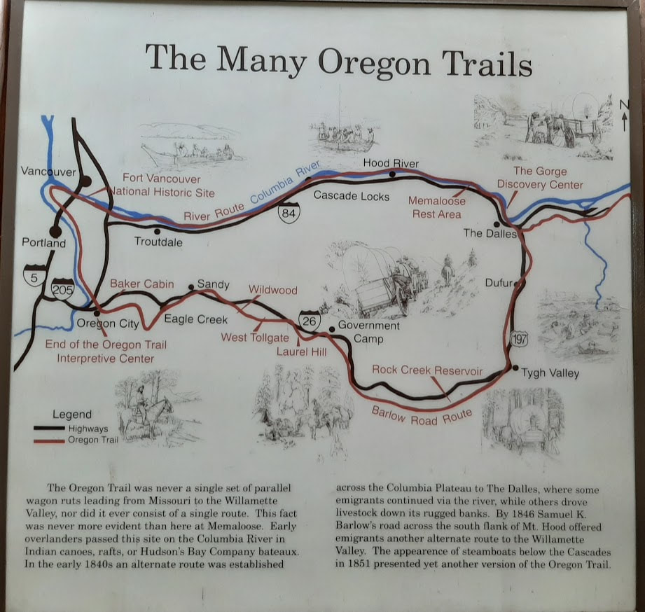
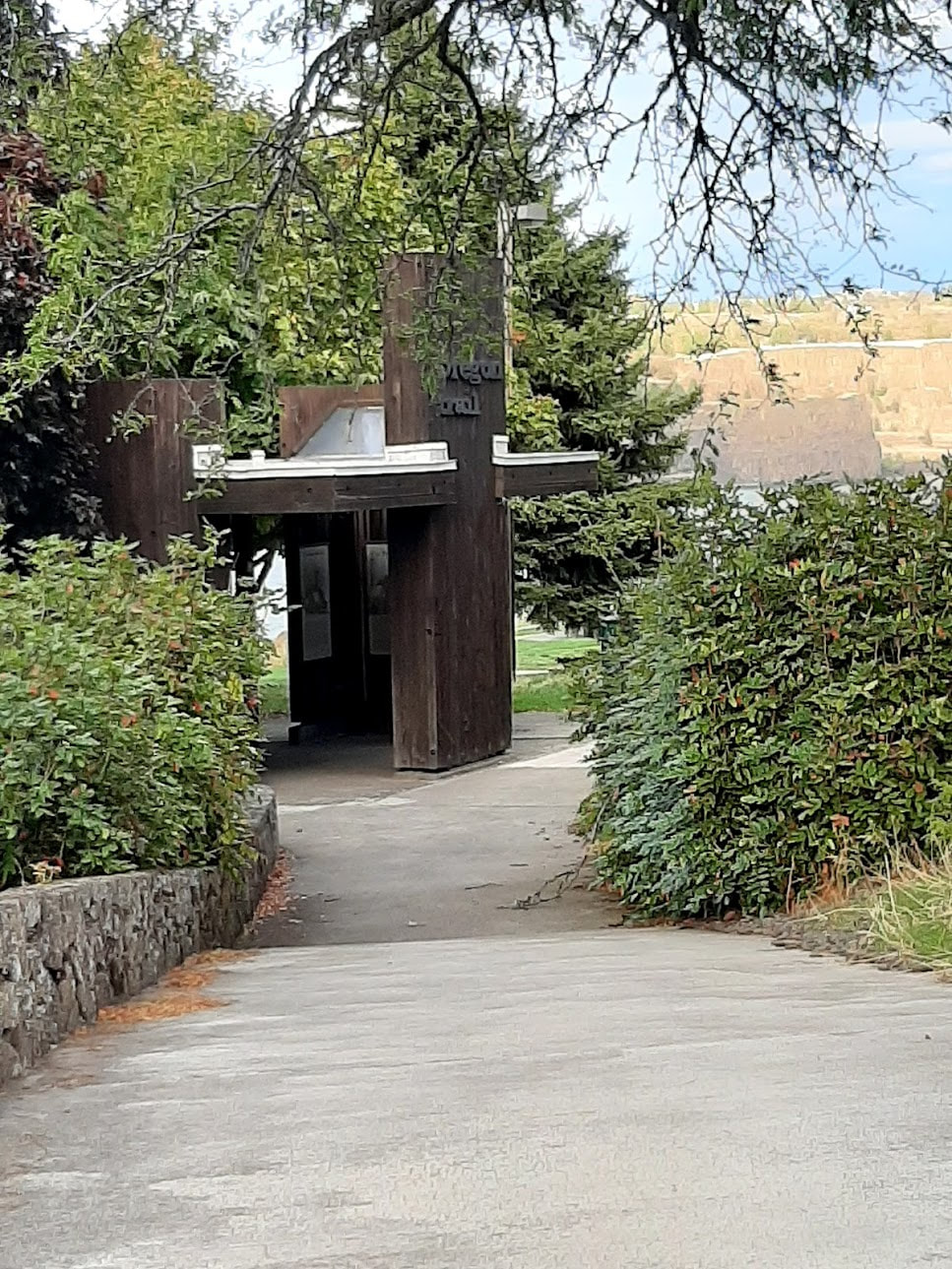
Part 1 of the Oregon Trail took us as far as Baker City OR. The state of Oregon has provided great Oregon Trail pavilions/kiosks all along the ways to the End of the Oregon Trail. This next section of the trail includes info/photos from Haines OR to Fort Vancouver WA via the Columbia River, including:
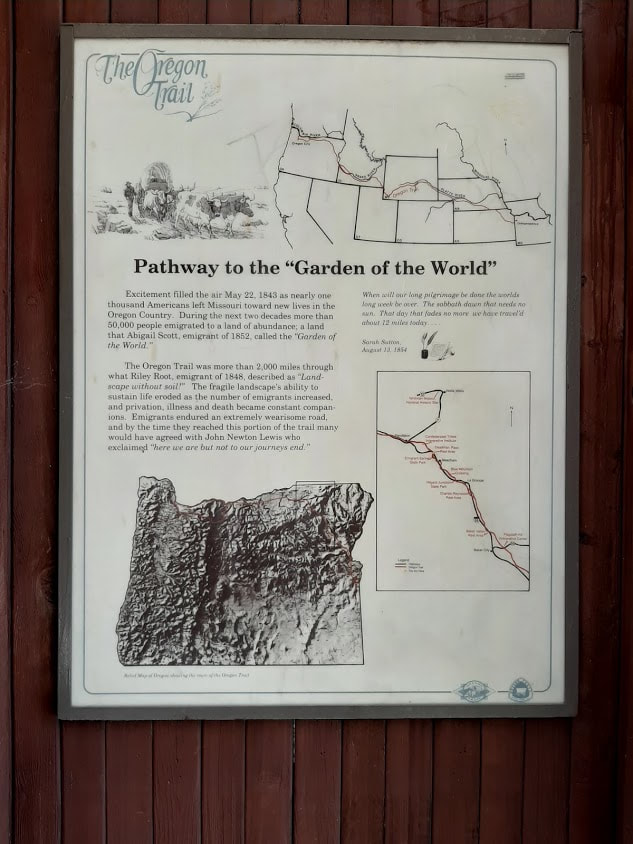
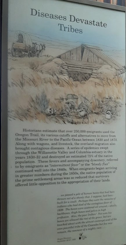
Not everyone who traveled the Oregon Trail went south to the Willamette Valley--some went north!
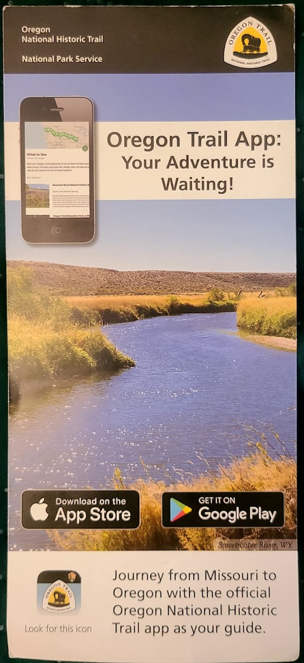
Here are some links for a quick review/overview of the Oregon Trail:
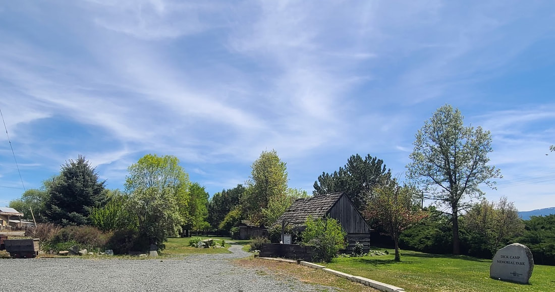
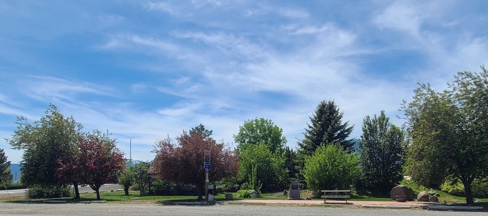
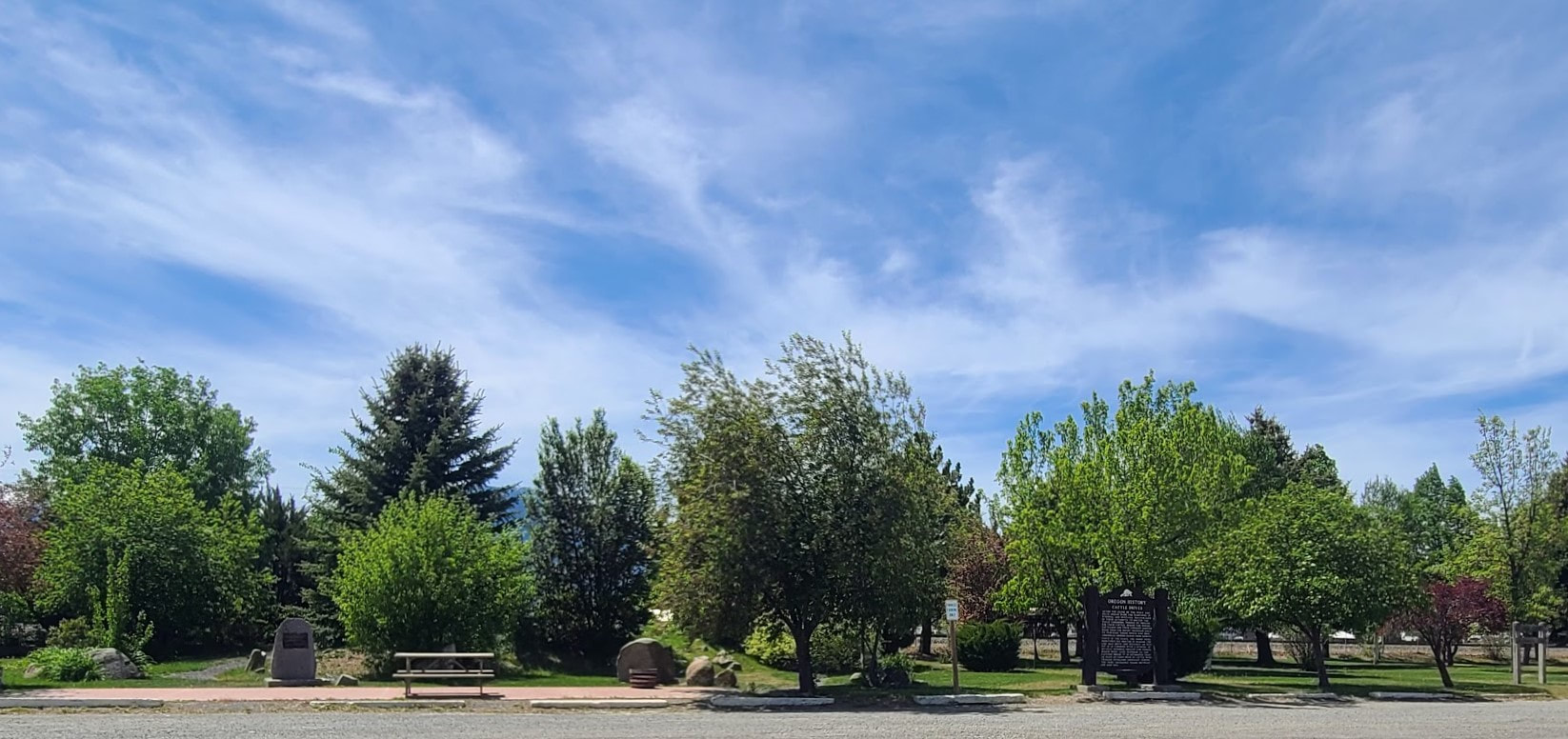
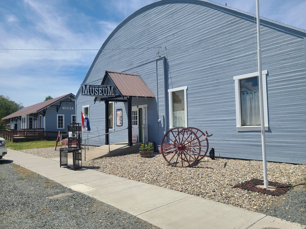
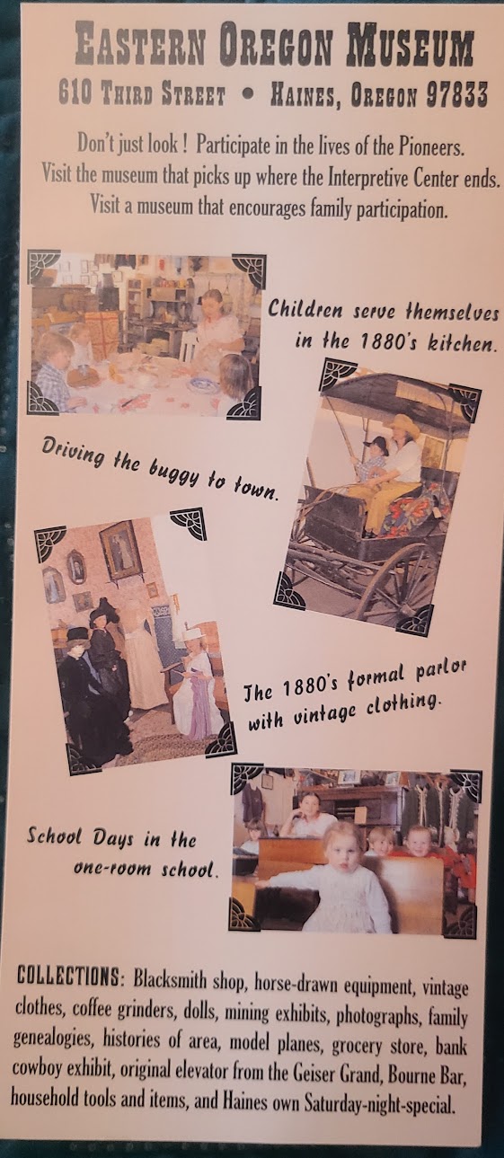
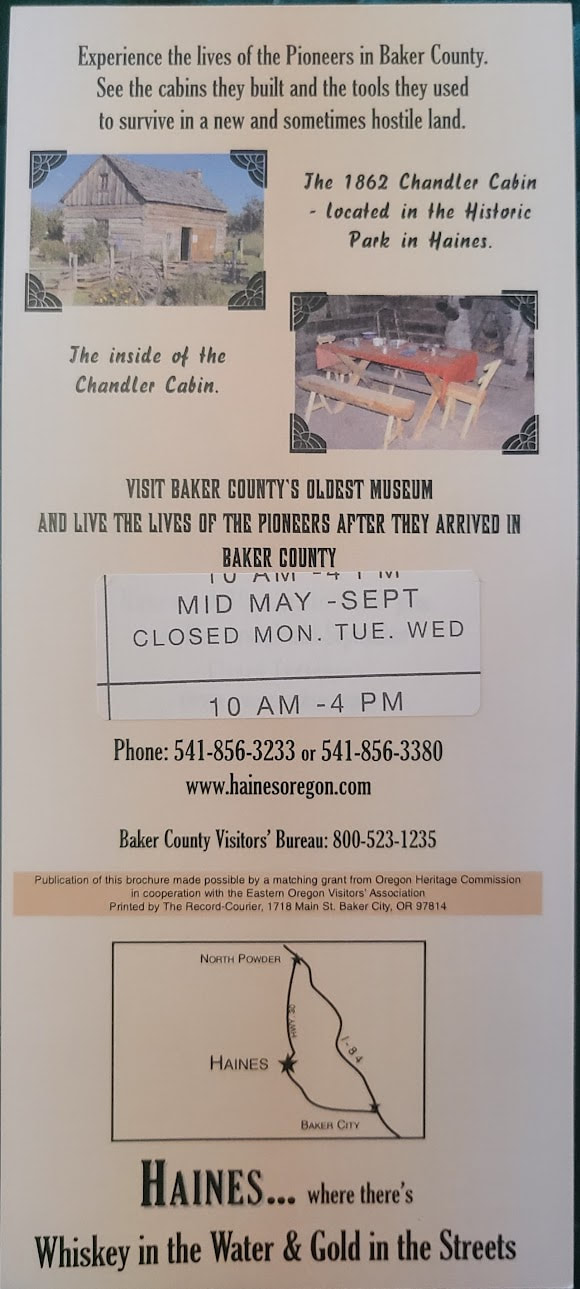
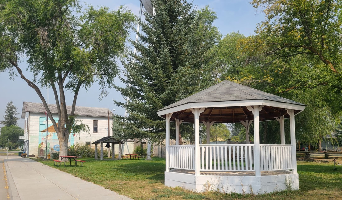
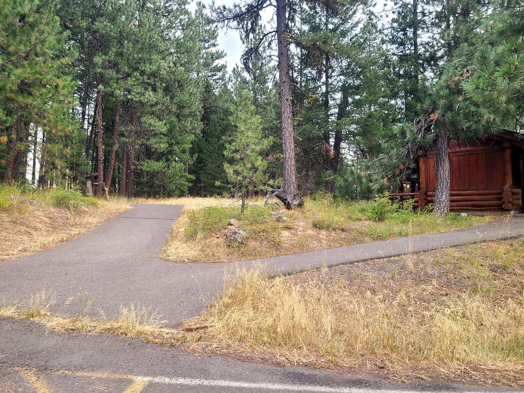
Haines OR An option to driving west from Baker City on I-84 (actually, 84 is traveling north-south between Baker & La Grande), is to travel the back way (Hwy 30) to get to the tiny hamlet of Haines OR. Along the main street is a long park or two that have historic cabins and historic information, as well as picnicking and a bus stop. Turn east on 3rd St to get to Eastern Oregon Museum. It has such limited hours I haven't managed to get there yet.
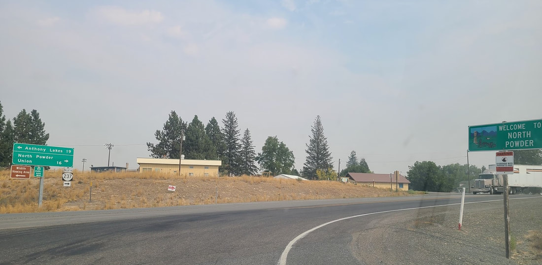
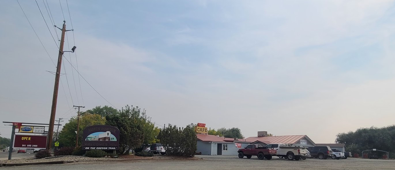
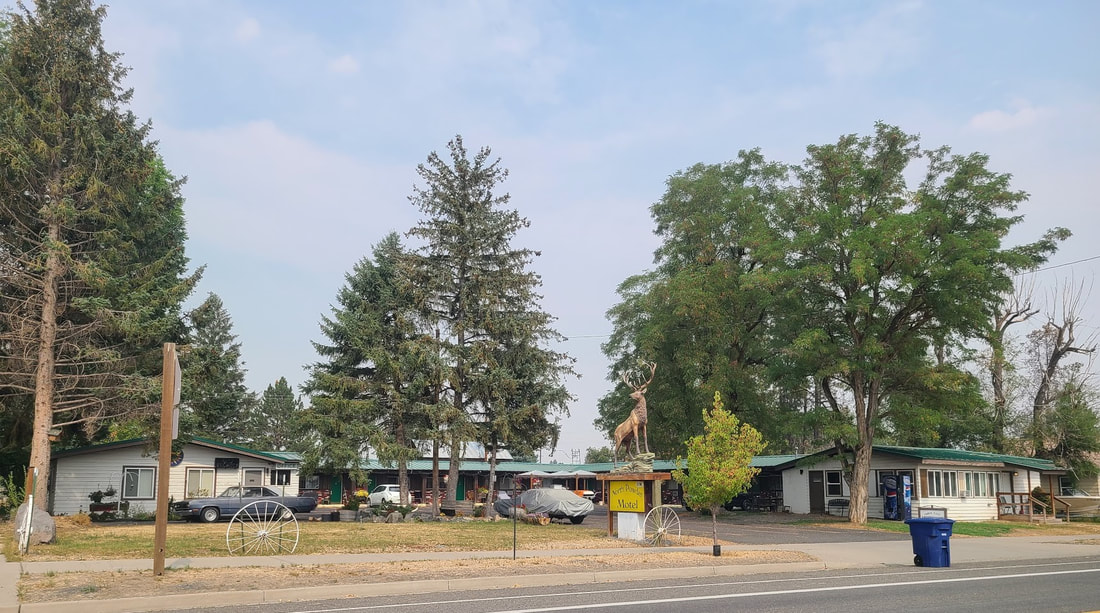
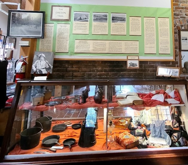
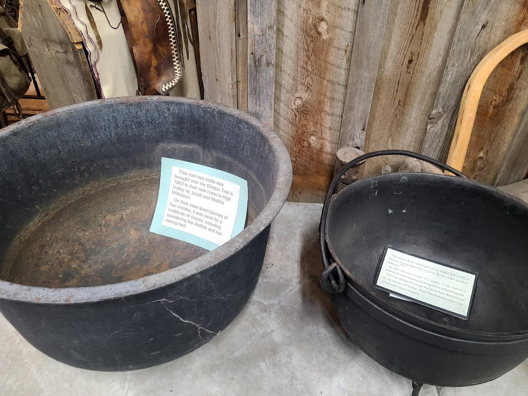
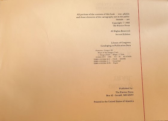
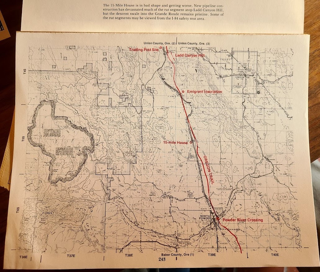
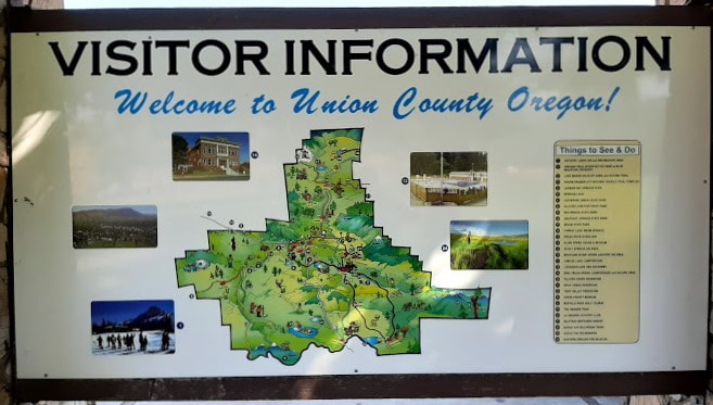
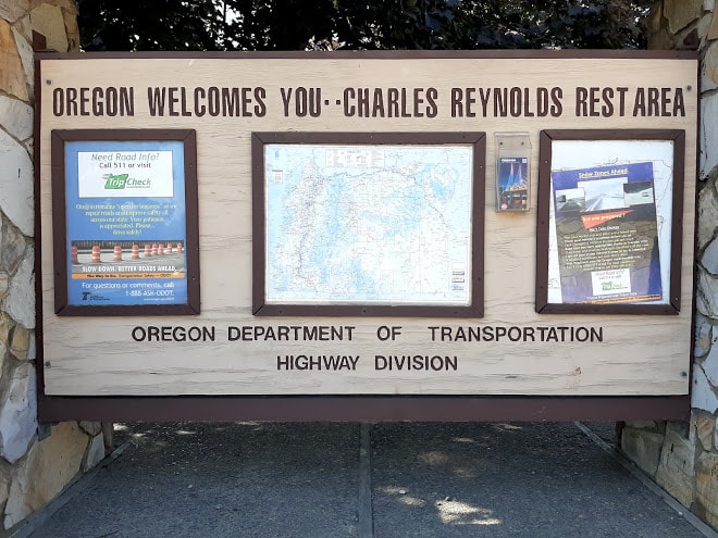
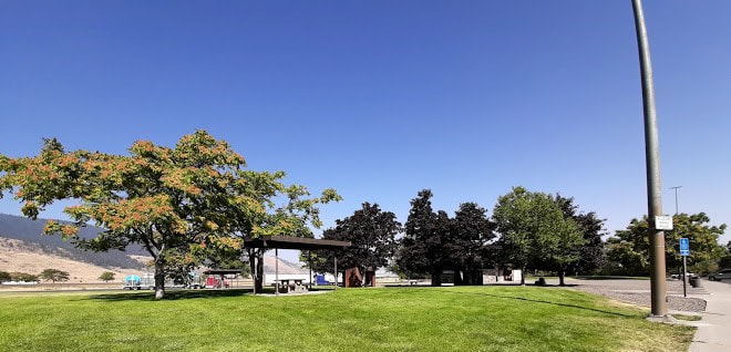
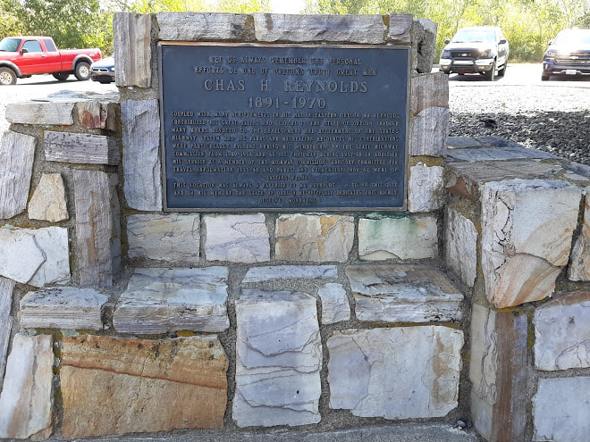
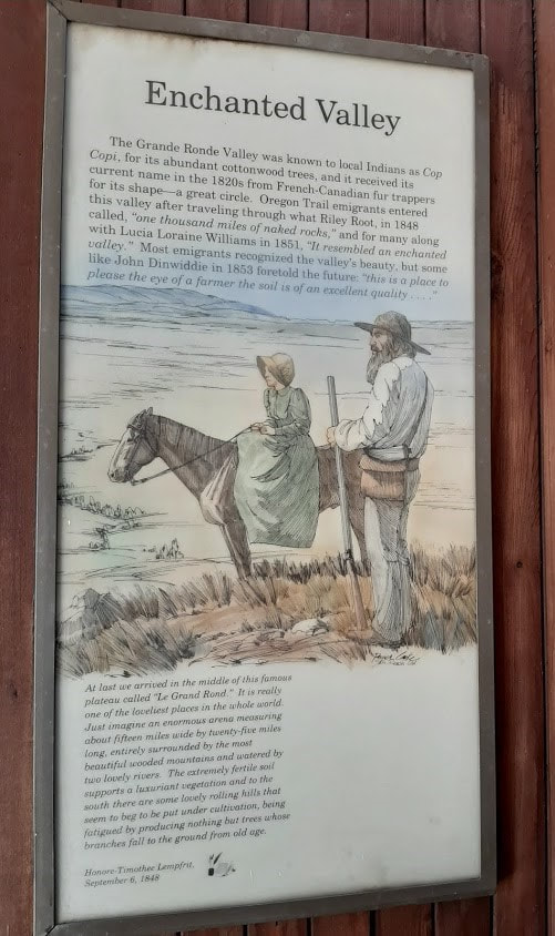
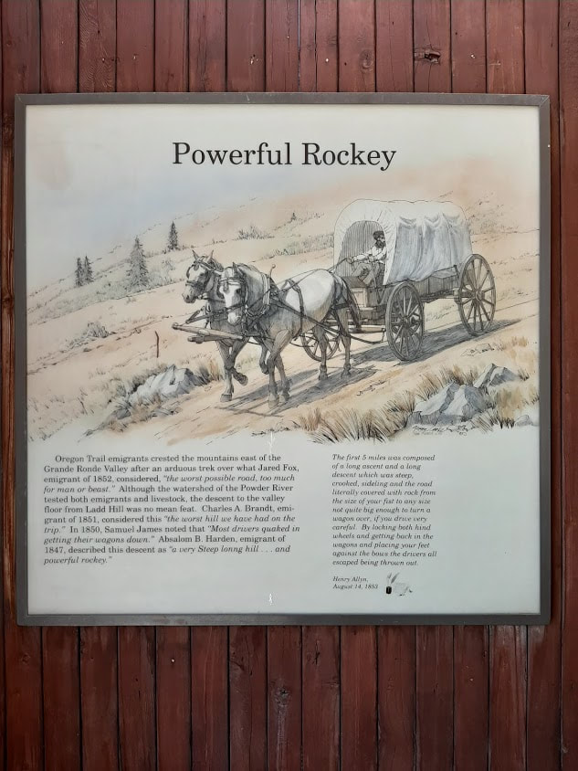
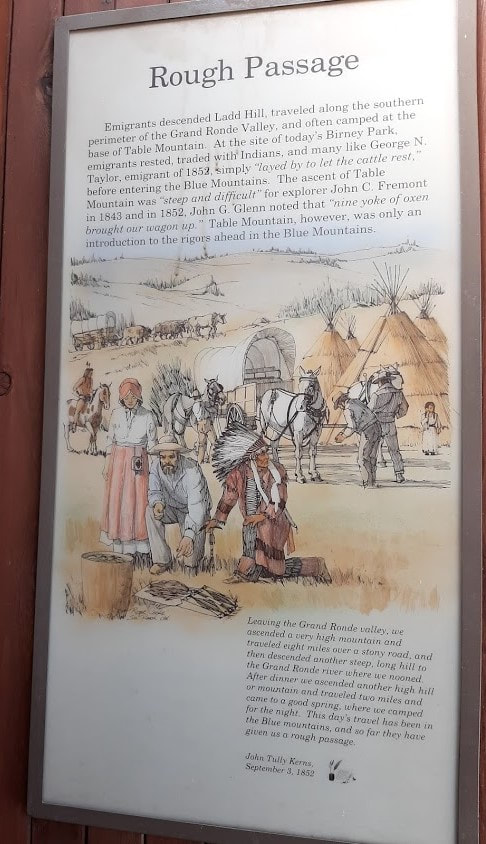
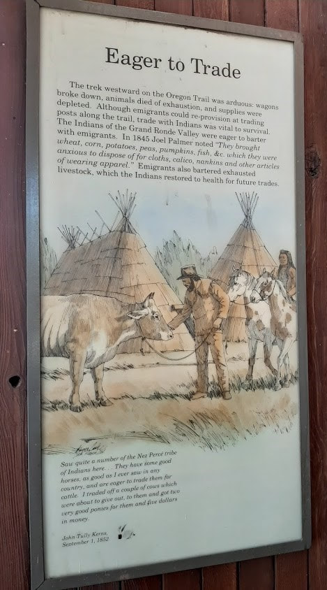
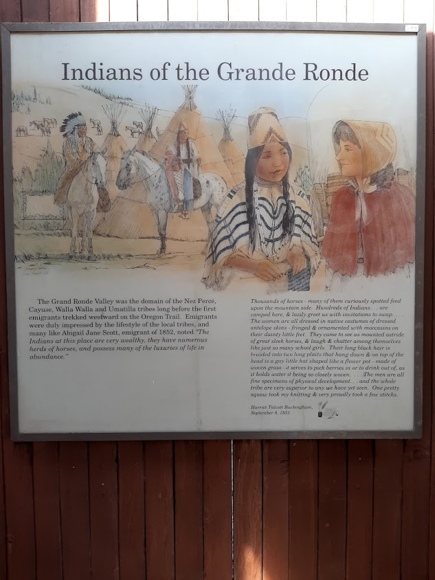
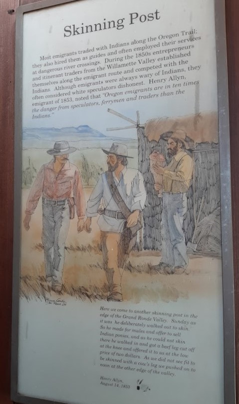
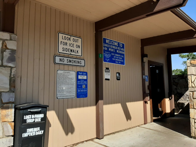
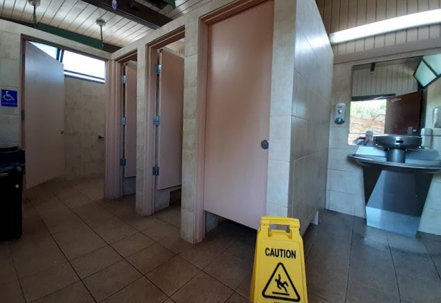
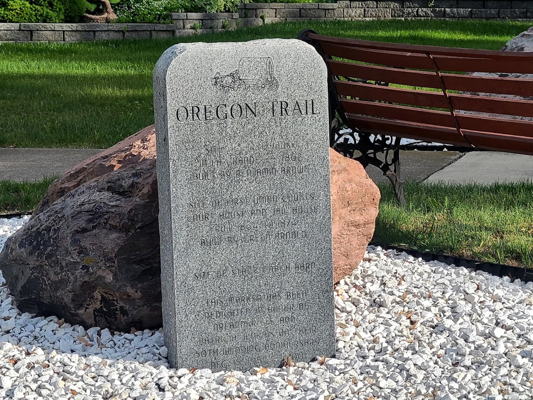
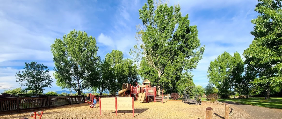
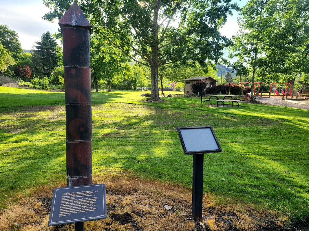
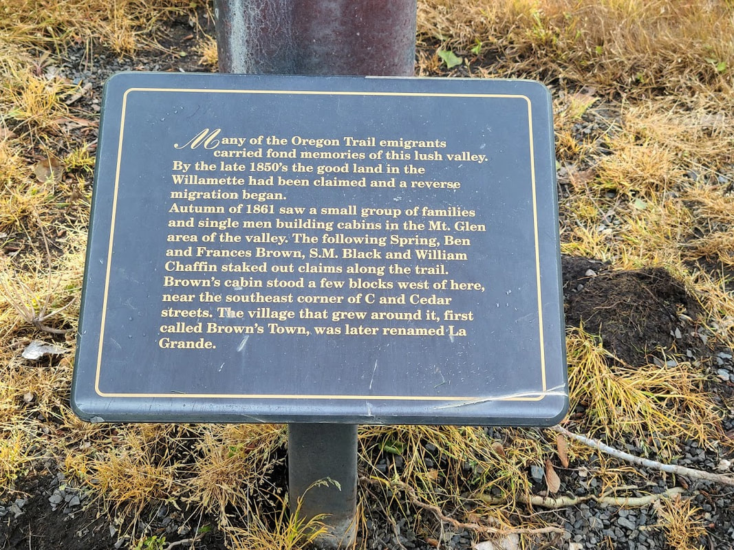
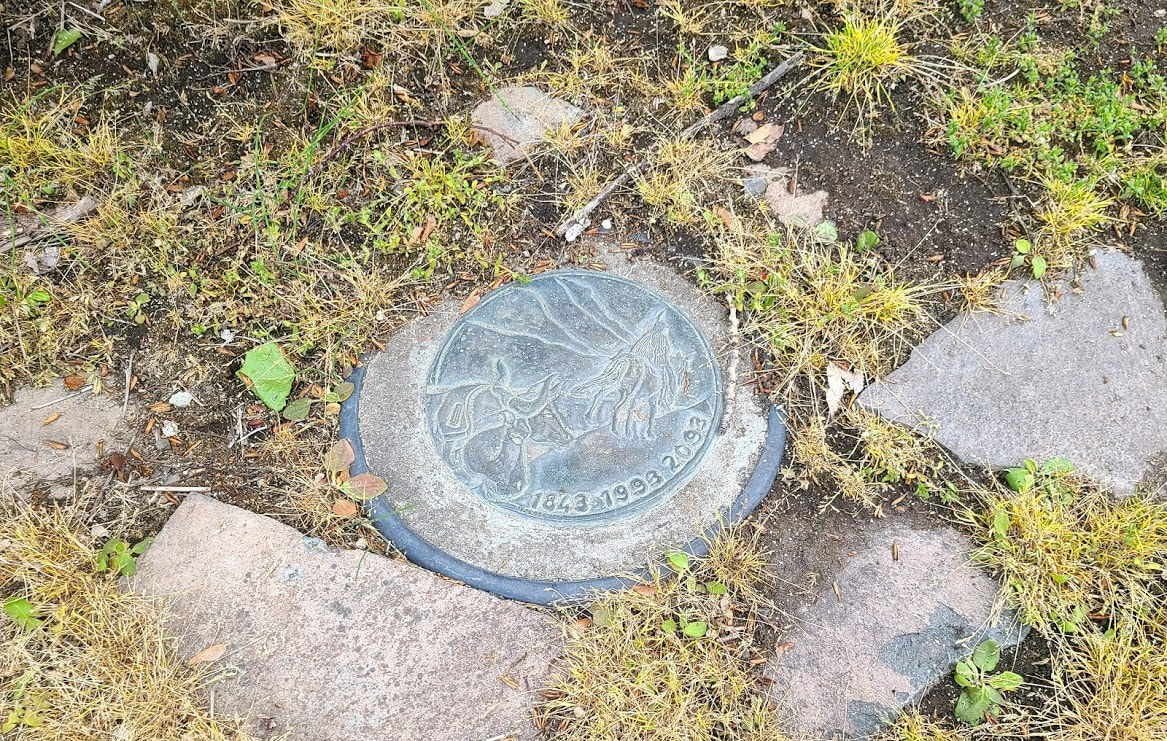
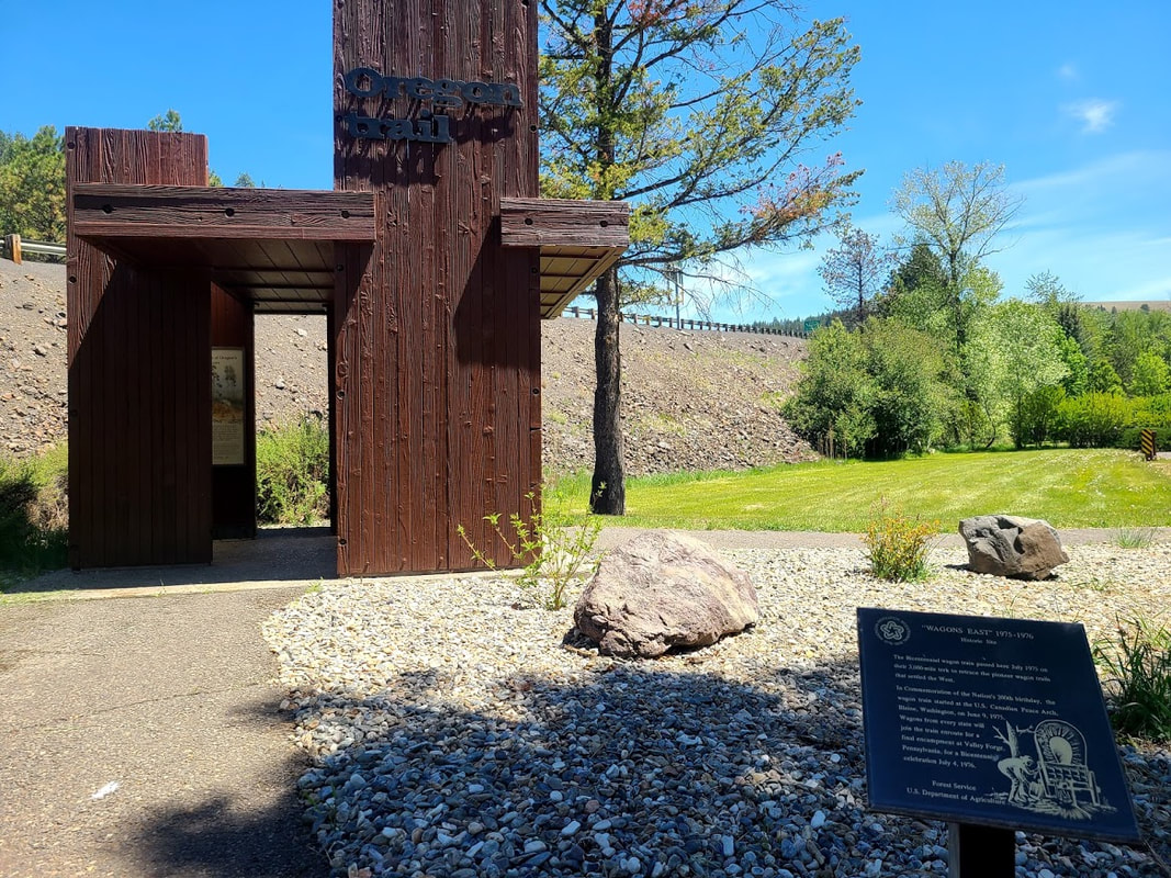
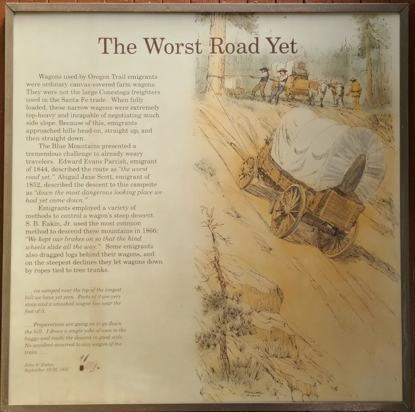
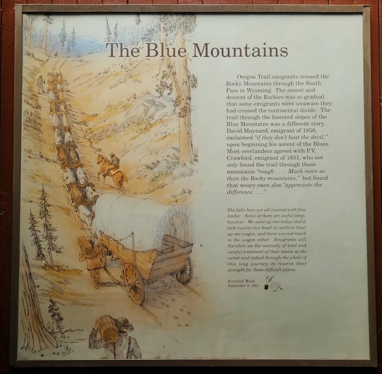
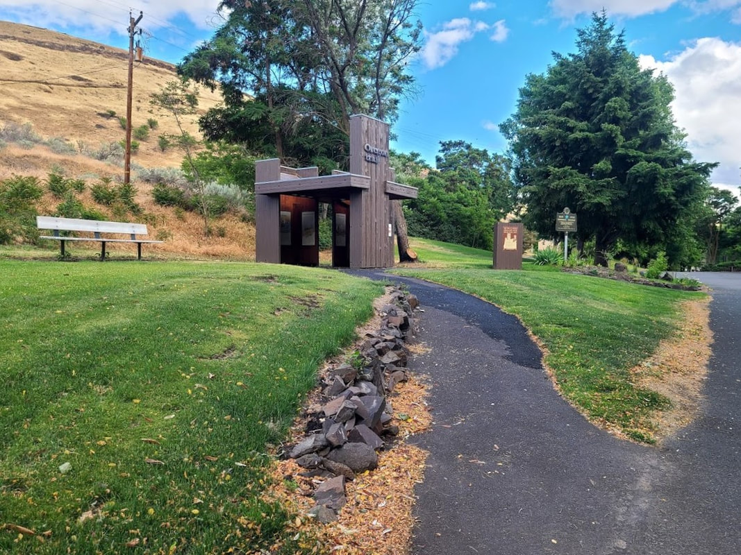
North Powder OR--roughly 1500 mi from Independence MO on today's roads, about 1700 mi on the OR Trail Travel north on Hwy 30 from Haines, or north on I-84 from Baker City to the small community of North Powder. As you exit I-84, you'll be on 2nd St. A left on E St takes you past the library, the fire dept, and a cute little church. Continue north on 2nd St and it becomes Hwy 237, the back way to Union OR. See also Union OR--Union County Museum Union has a great museum (3 or 4 buildings) of local history, including a good collection of cowboy displays, Victorian life, antiques, and exhibits highlighting natural and Native American history. They had a copy of the excellent reference Maps of the Oregon Trail by Gregory M. Franzwa, copyright 1982, and Powerful Rockey: The Blue Mountains and the Oregon Trail by John W. Evans, copyright 1990, (which I bought, it also includes maps). For more info and photos of Union OR, see Charles H. Reynolds Rest Area just east of La Grande OR Located just at the foot of the mountains as you enter the Grande Ronde Valley on I-84, it's a little east of where Hwy 203 from Union OR meets I-84. About "the Blues", the Blue Mountains: La Grande OR--25 mi through Ladd Canyon from North Powder OR I tried to follow the signs from I-84 to the Oregon Trail site . . . it was confusing. I finally found the little marker at B Ave & Cedar St: it's just on the corner of somebody's yard. Very near there is Birnie Park, with a path of Oregon Trail monuments and a symbolic (un)covered wagon climbing structure.
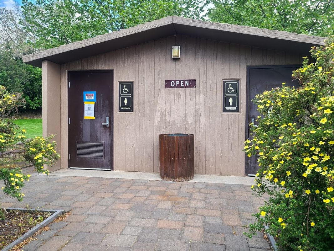
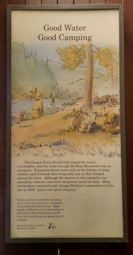
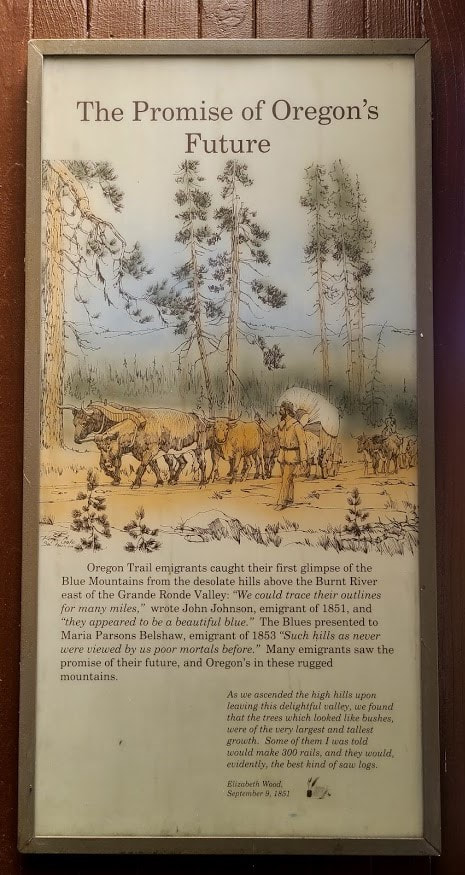
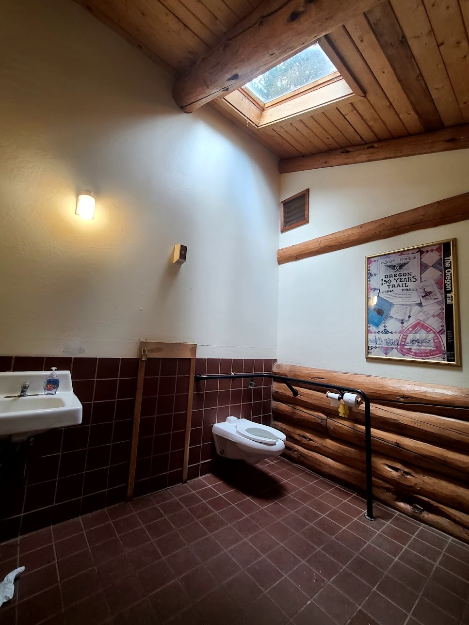
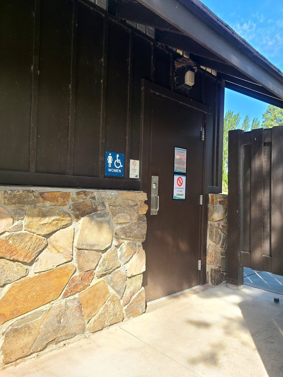
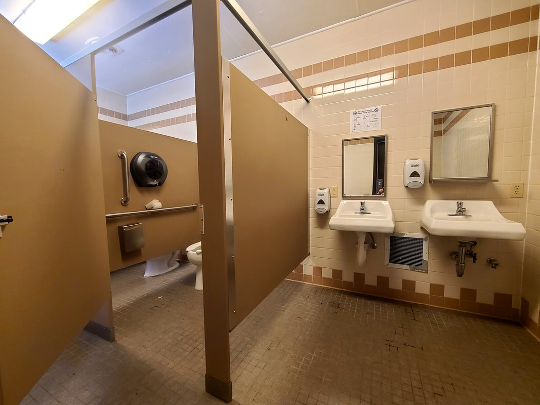
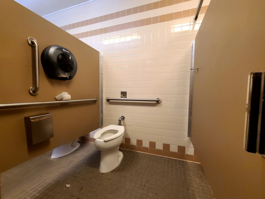
Hilgard Junction State Park OR Their site says the restrooms are flushing and accessible. There are two parts of the park--one on either side of the road. The park is right on the Grande Ronde River, swim with care.
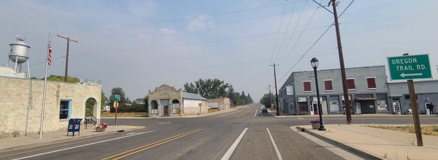
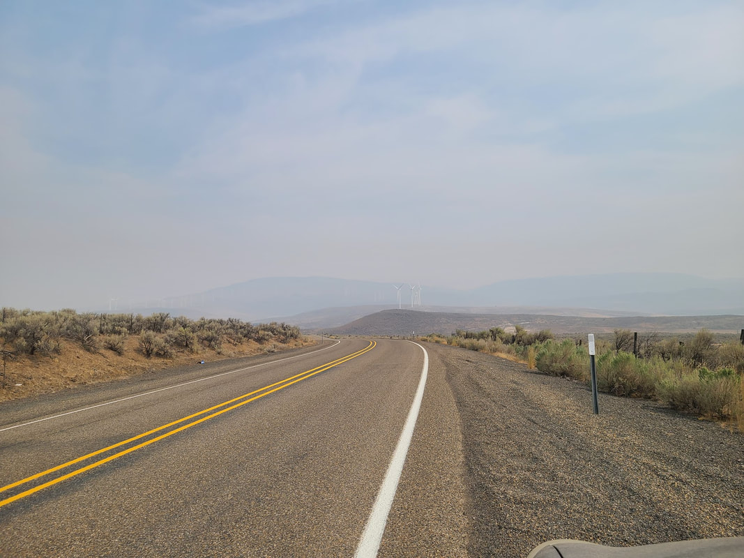
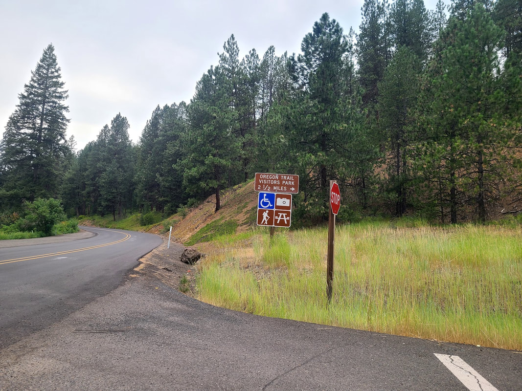
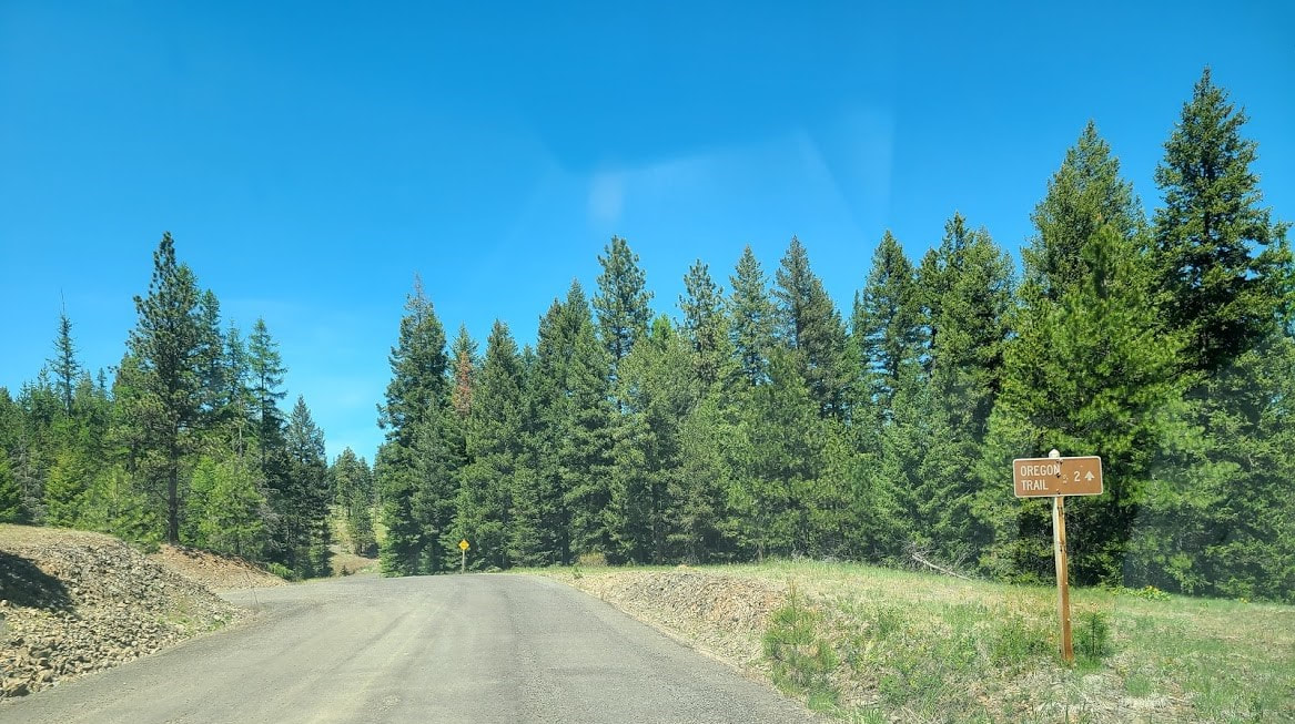
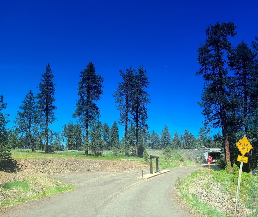
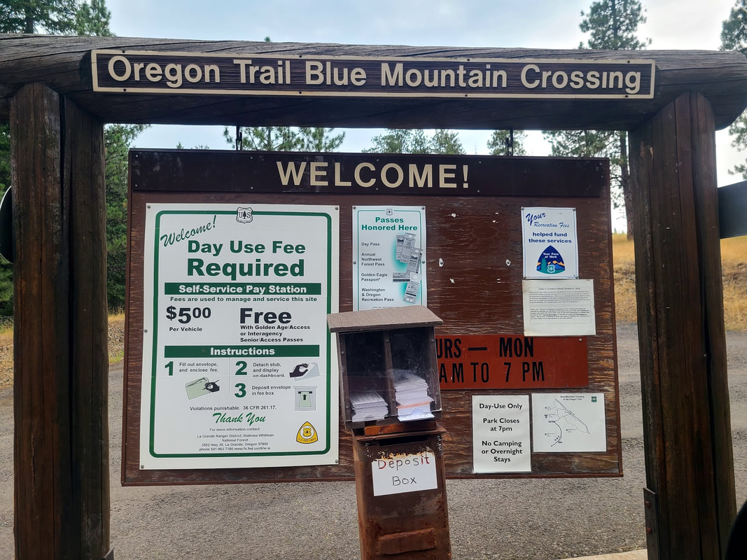
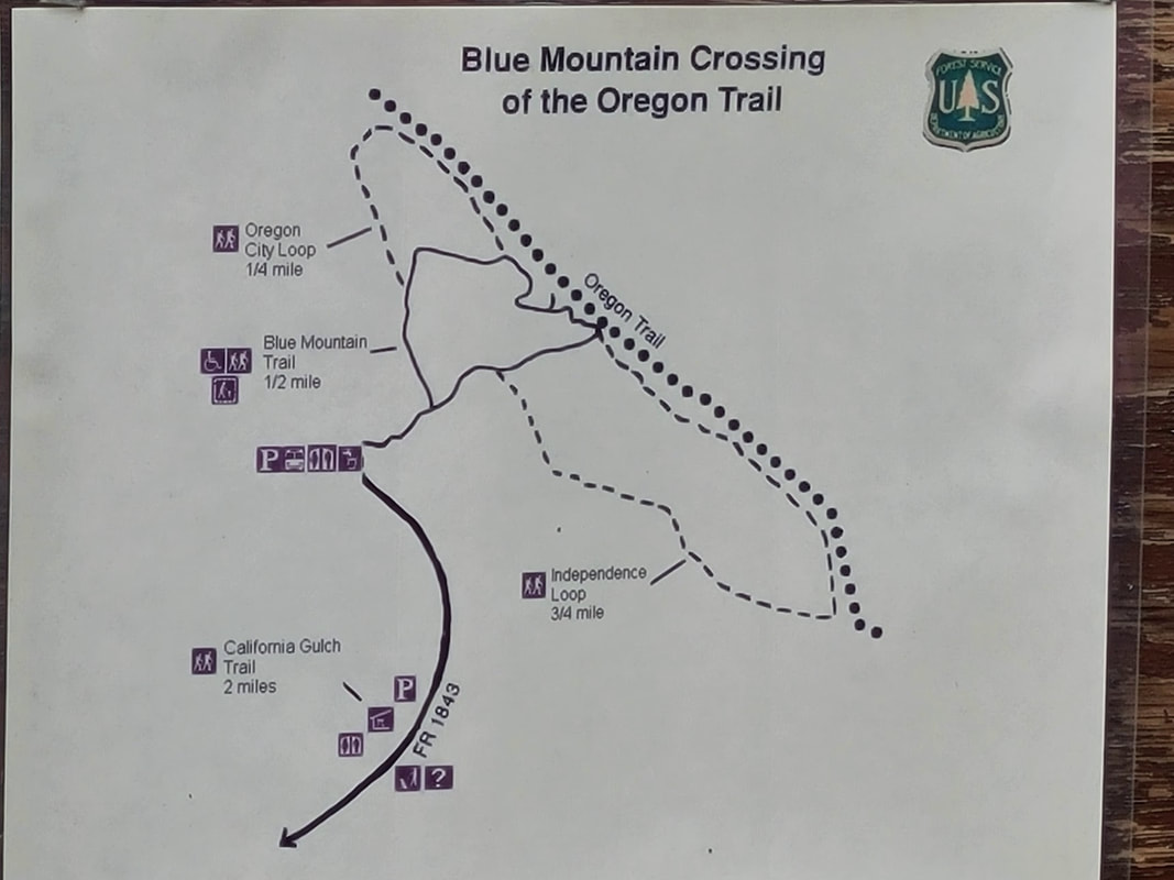
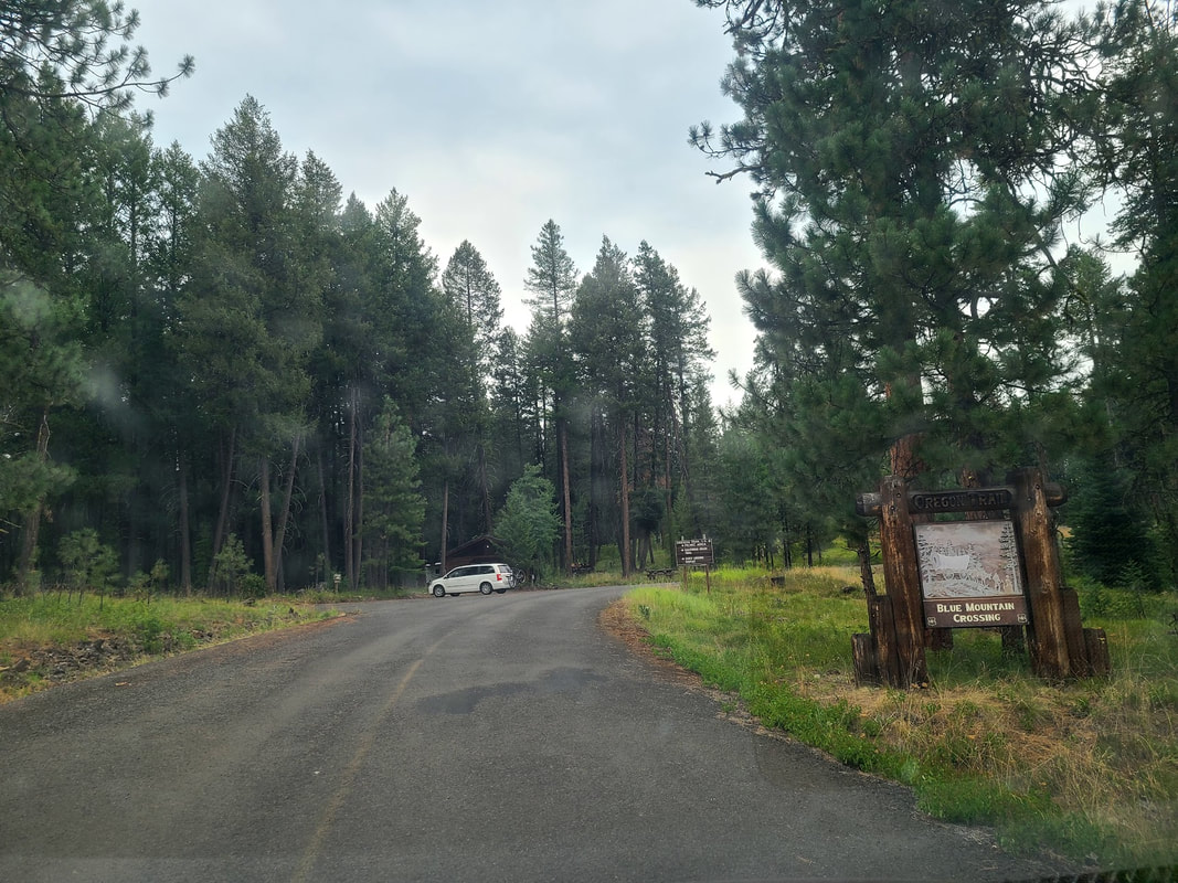
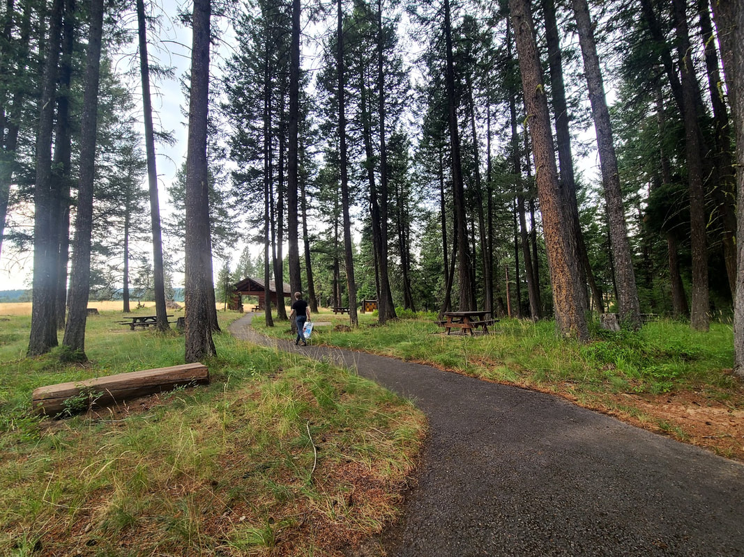
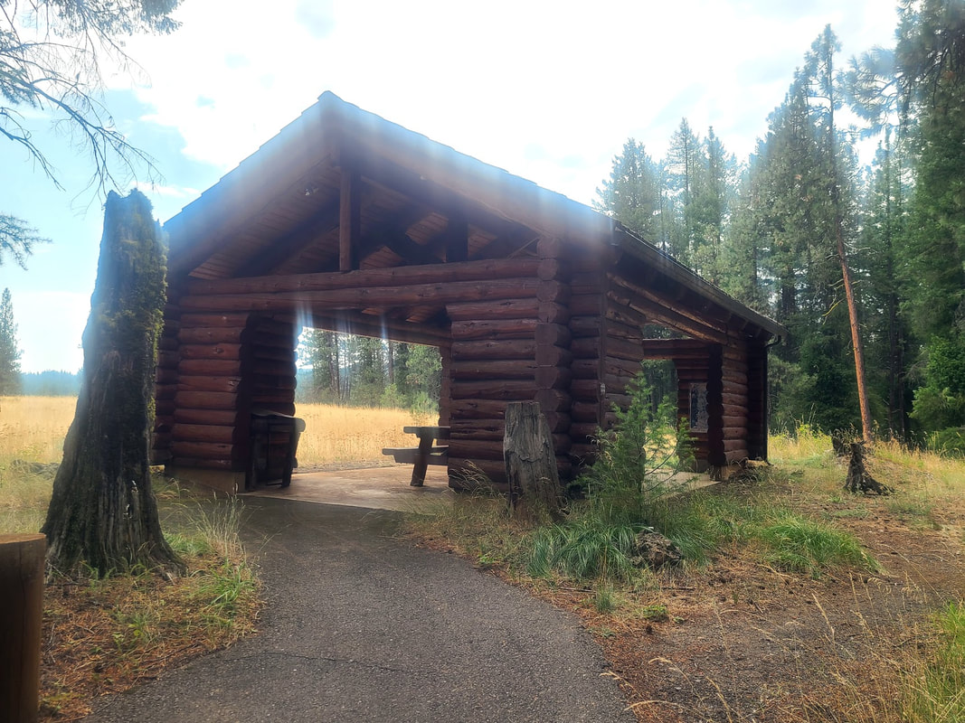
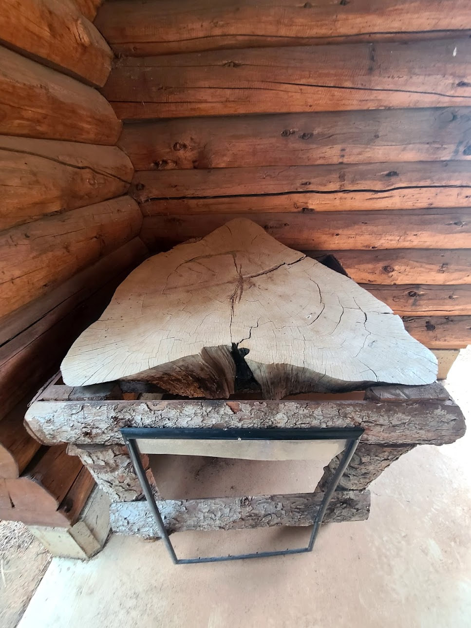
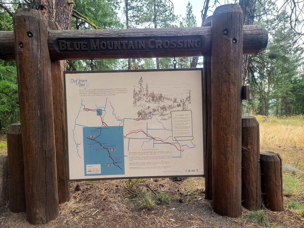
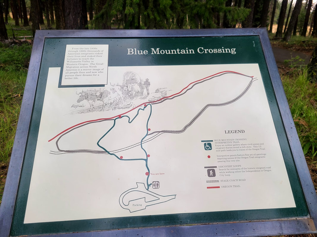
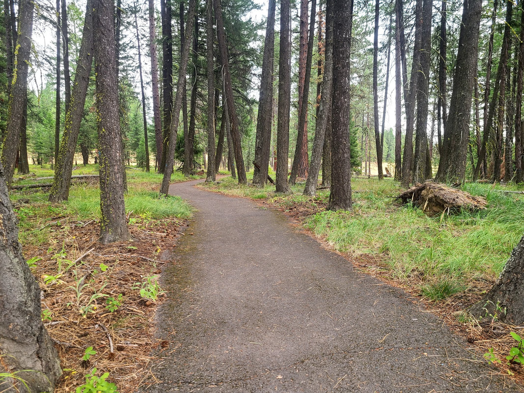
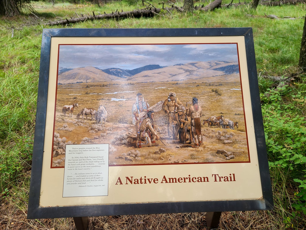
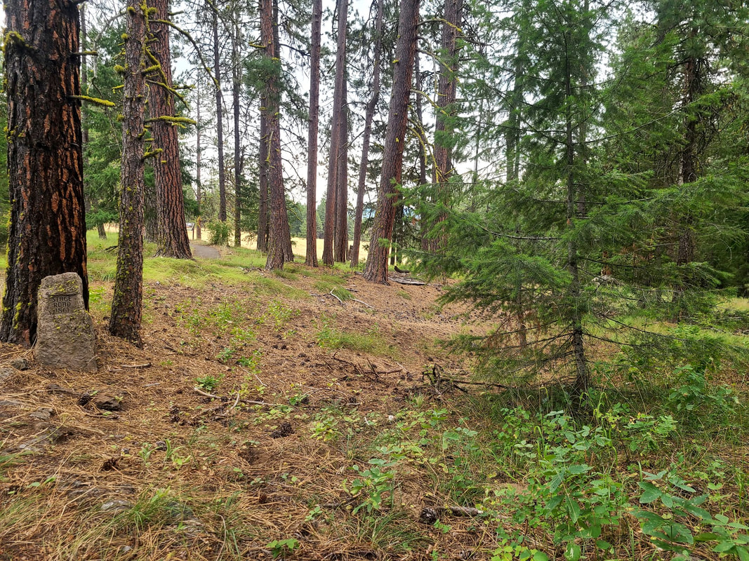
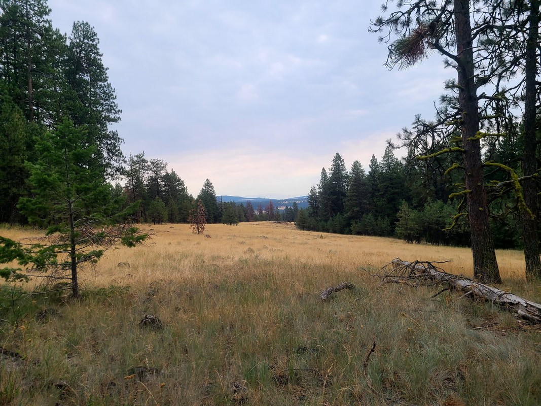
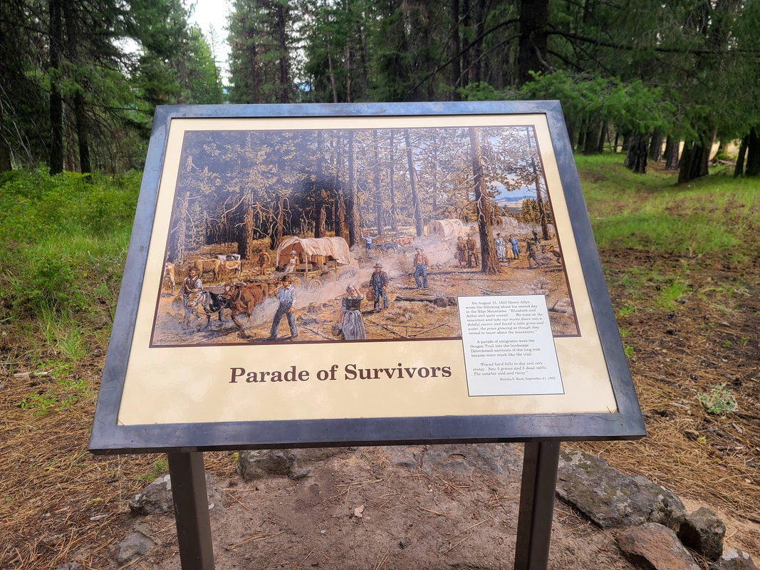
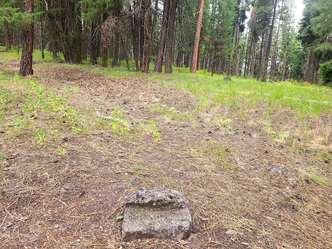
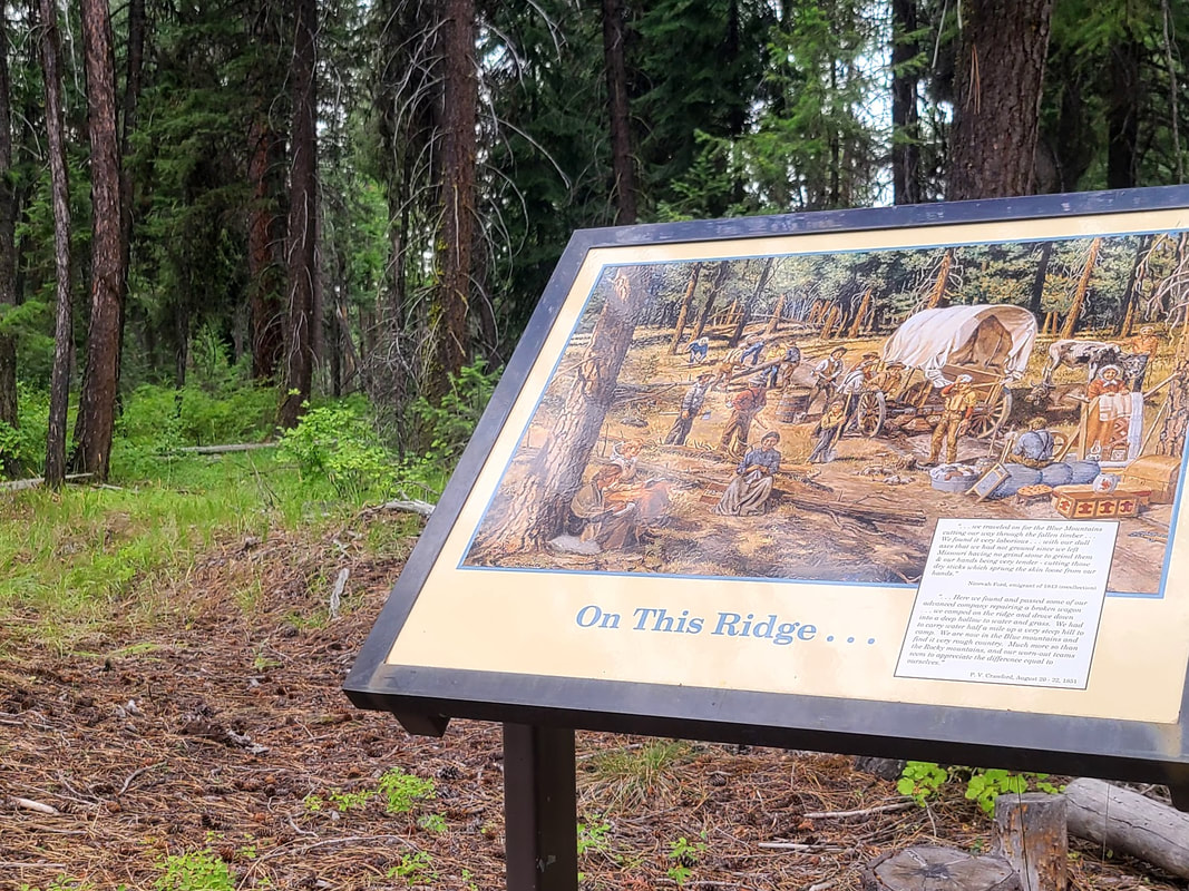
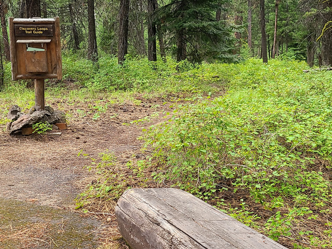
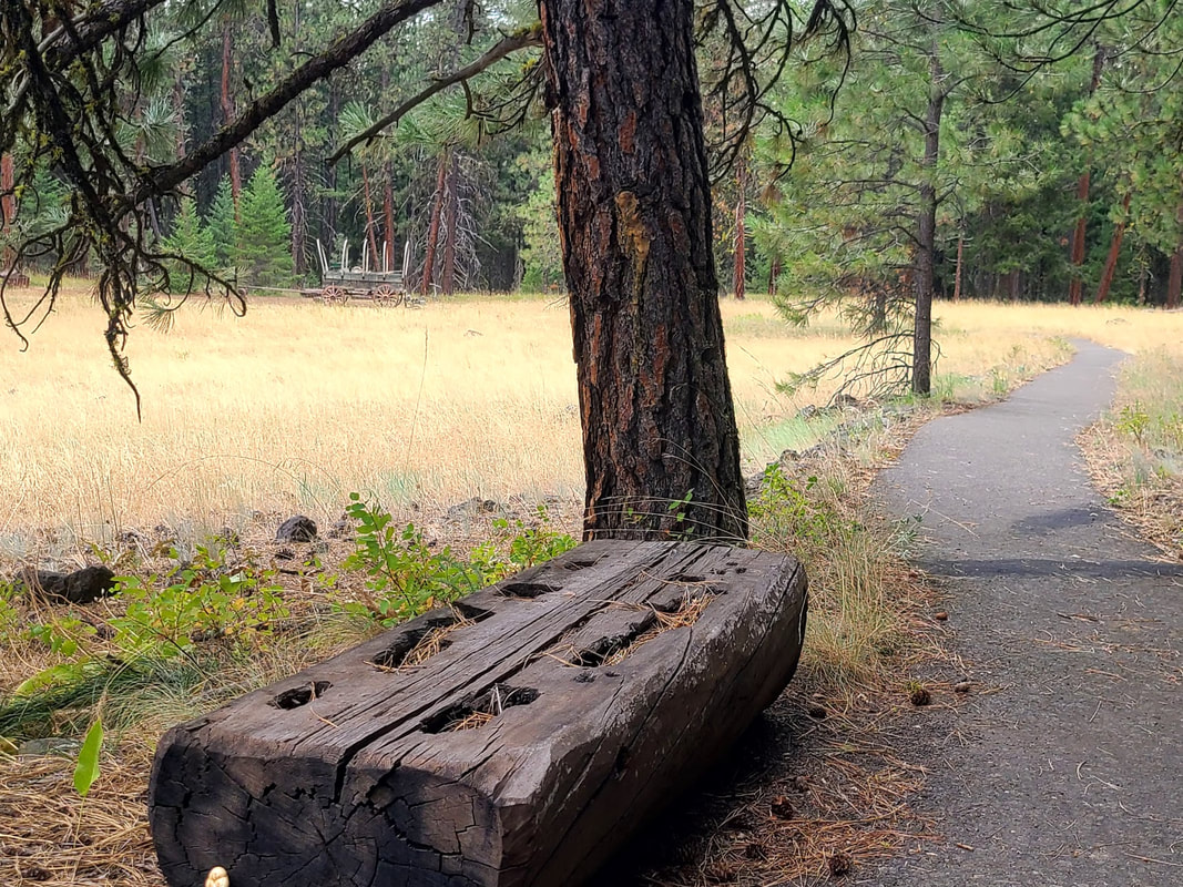
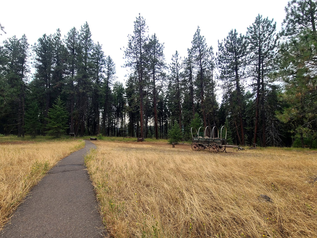
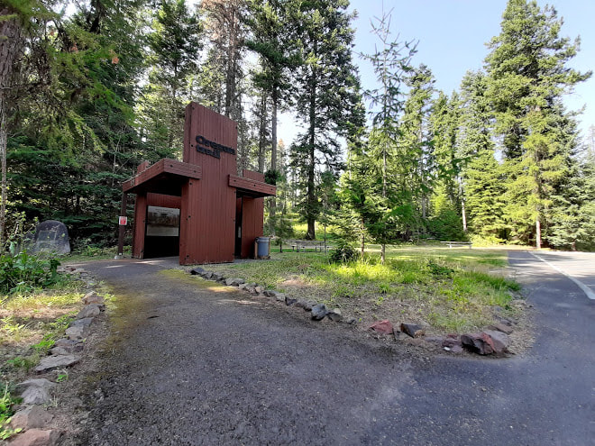
Blue Mountain Crossing, 9 mi west of La Grande OR I had a hard time finding this place, instructions don't seem clear. Here's my stab at it: take exit 248 off I-84; at the stop sign veer to the right toward Kamela, going NW on Old Emigrant Hill Scenic Frontage Rd a ways til it goes under the highway and crosses Dry Creek, then take a right on Oregon Trail Road, 1843--it's not far off I-84, only 3 mi total, I think. I was so enthused because it's supposed to be a handicapped accessible trail with interpretive signs, but I was sadly disappointed, because unfortunately it was closed when I went. UPDATE after Aug 2022 trip home from Boise--Blue Mountain Crossing was better marked, and open, to my delight! Meacham OR--20 to 25 mi west of La Grande OR, mountain town near the pass I've seen the signs for Meacham indicating an Oregon Trail site, but with no mention how far off the highway it is, I didn't dare start a tangent I'd be sorry for. On the map it doesn't look that far. Take exit 238 off I-84 and follow the signs to Meacham, the road to Meacham parallels the highway for awhile, becomes old Hwy 30. There is a sign "Historical Marker Ahead" as you round the bend and come downhill to parallel the RR tracks. A little further there's a sign for the historical marker pointing to the right off the road (before you come to Main St which is to the right and crosses the RR tracks). 
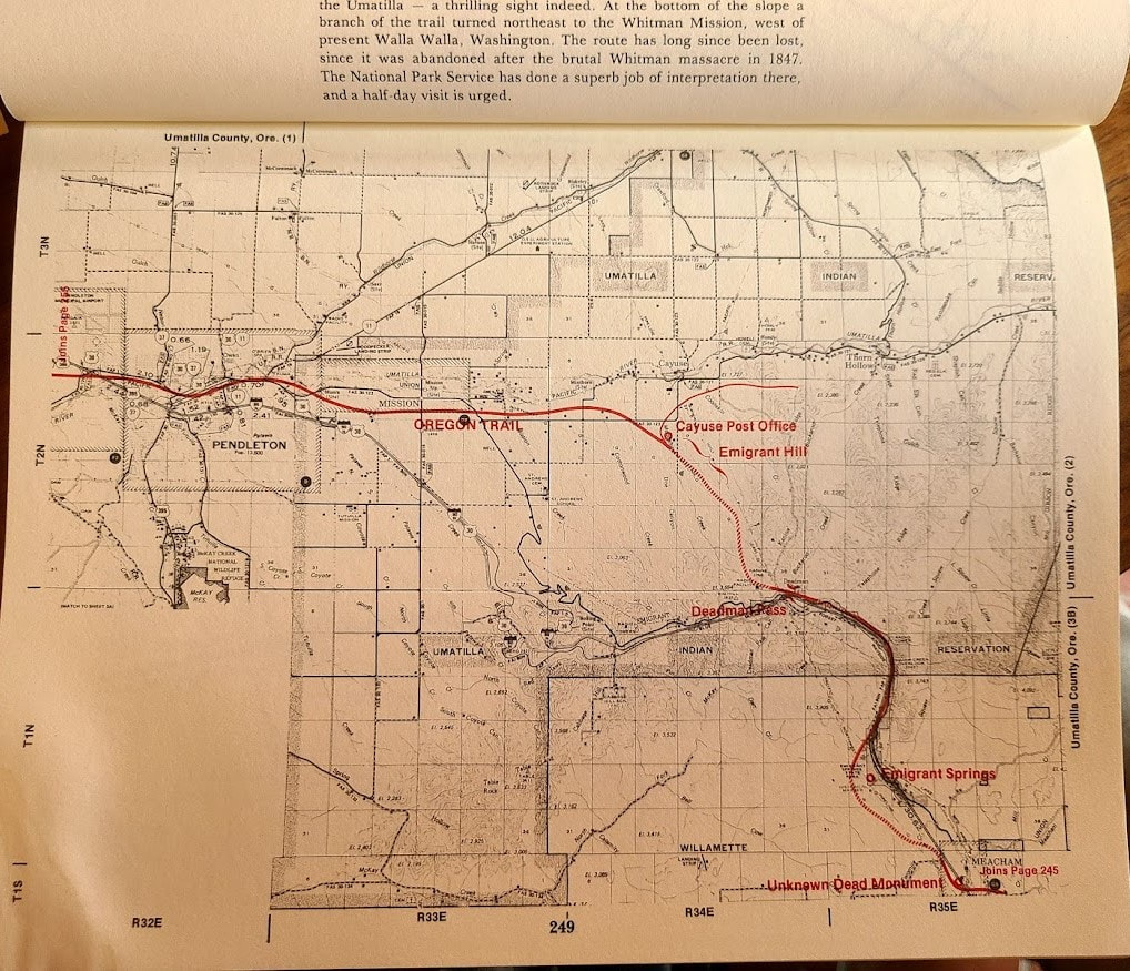
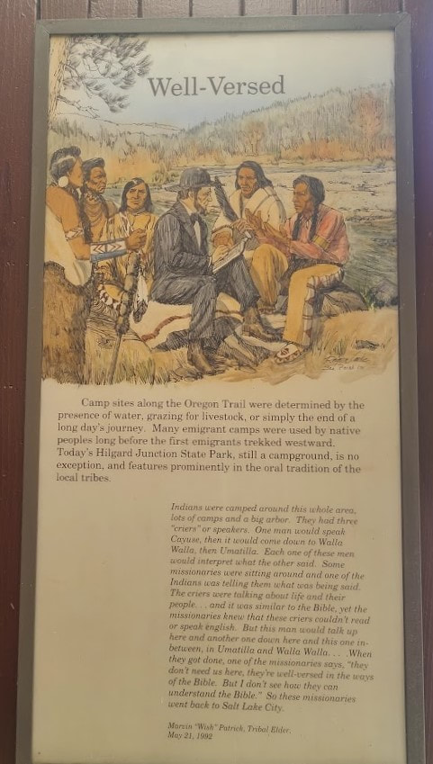
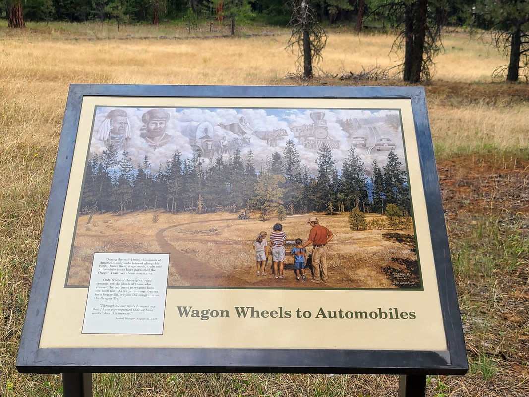
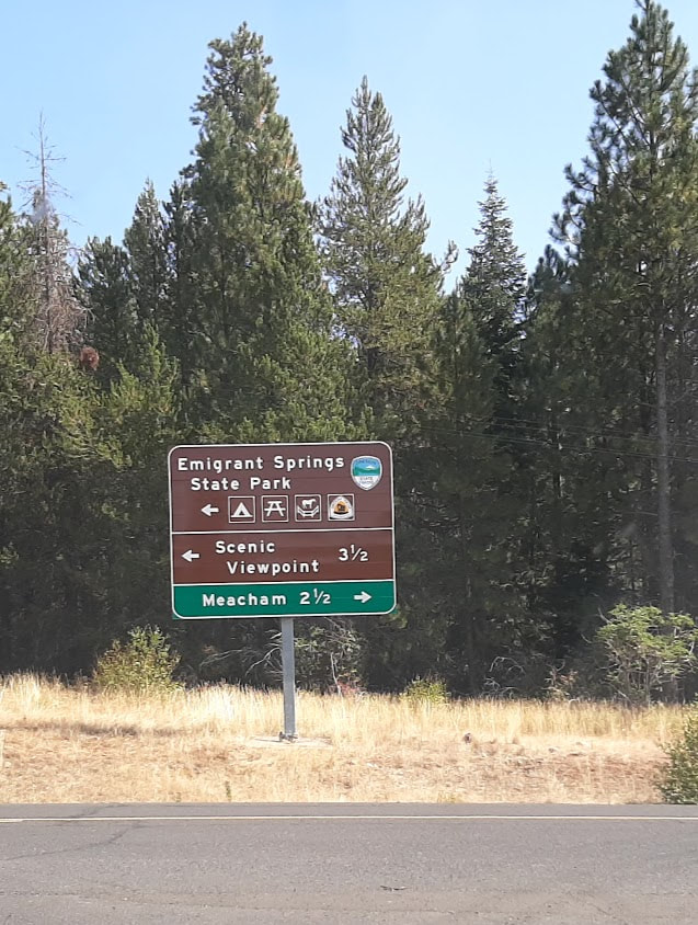
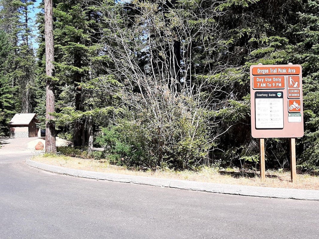
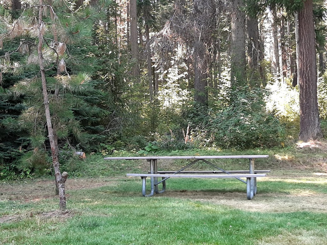
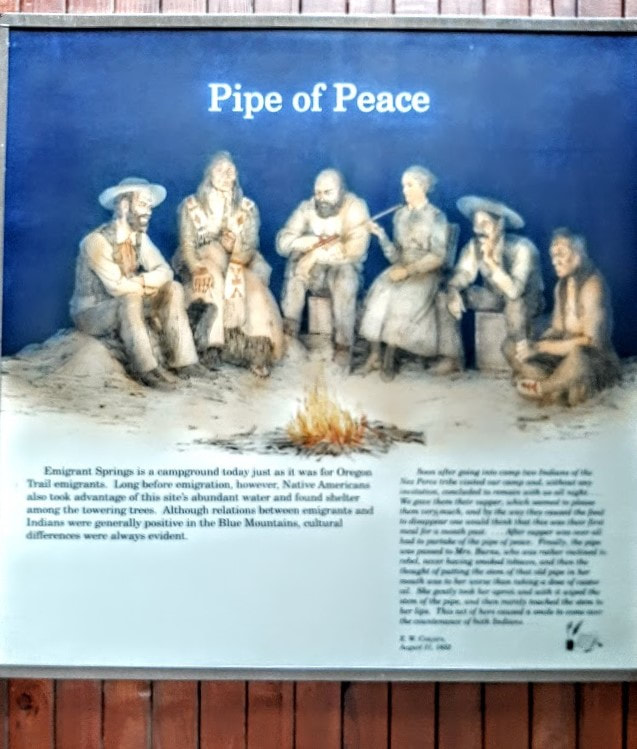
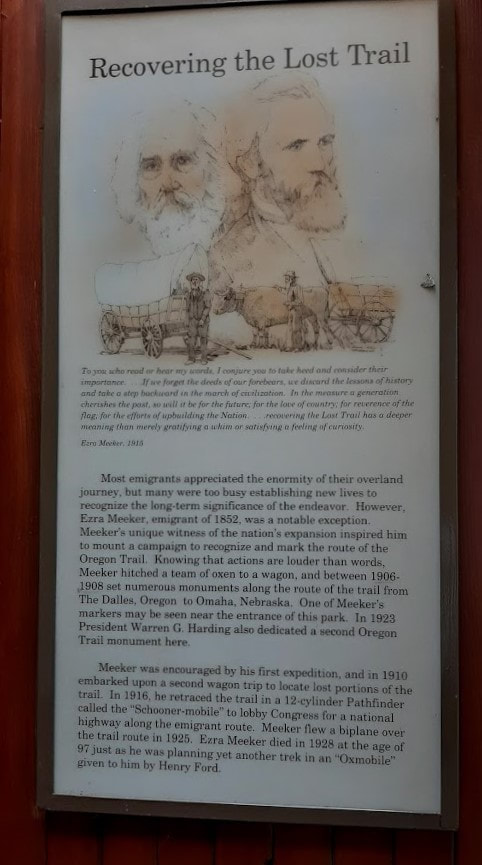
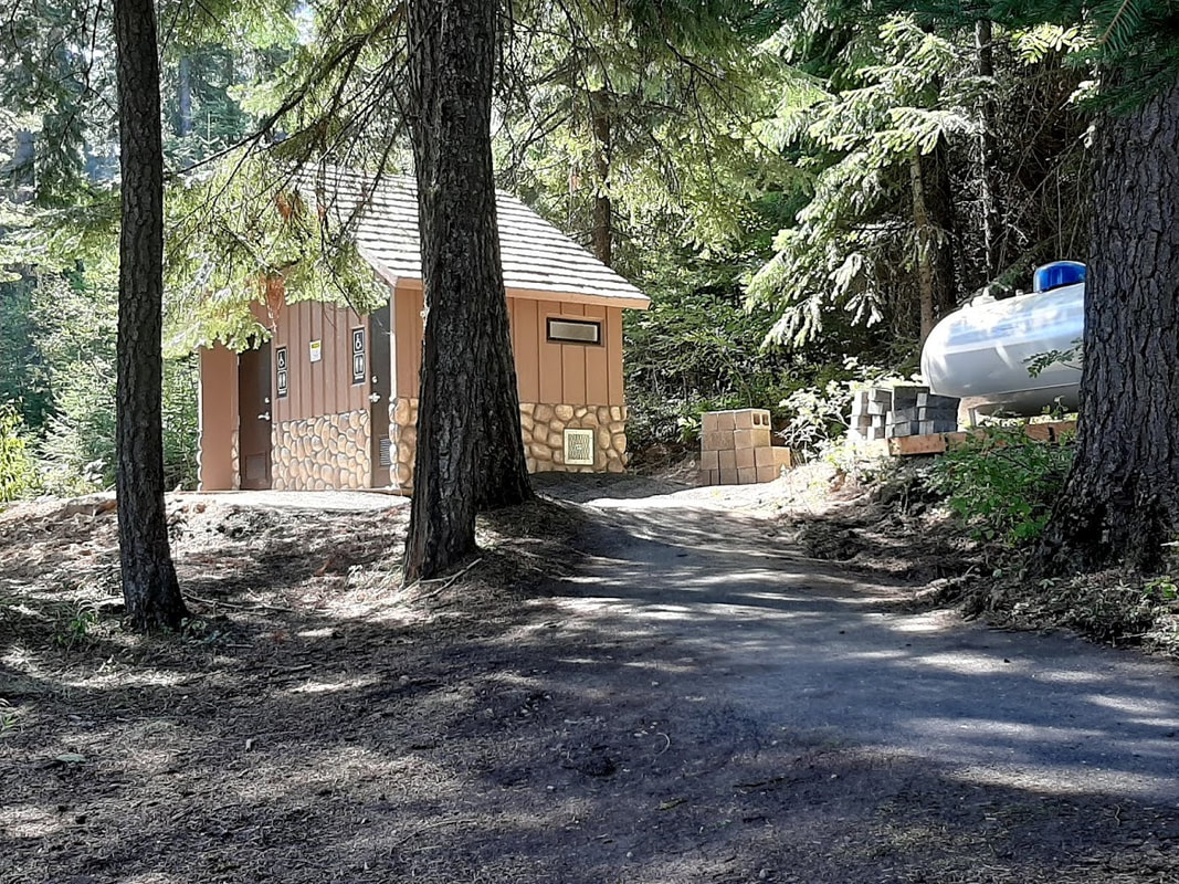
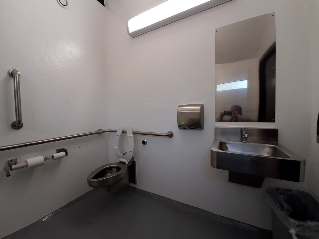
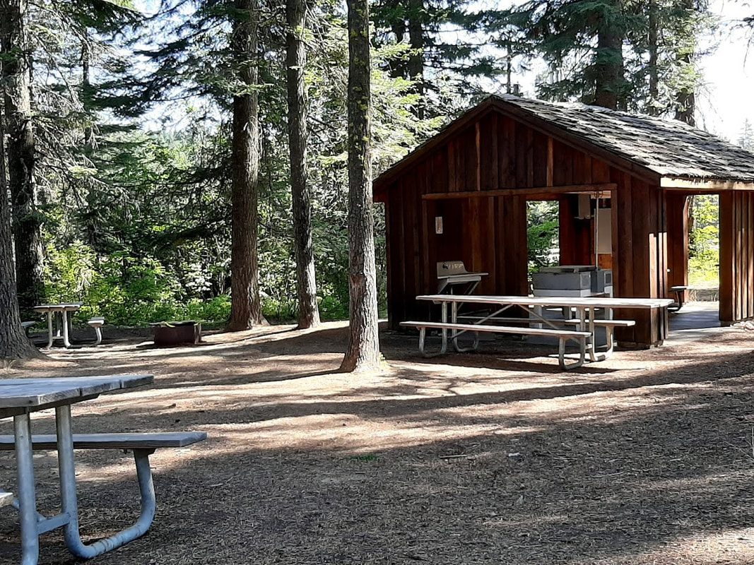
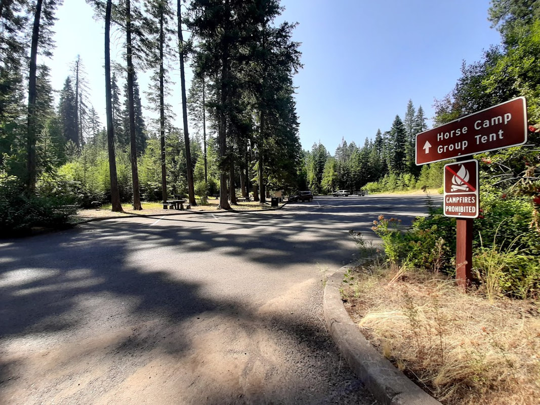
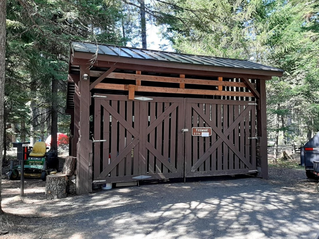
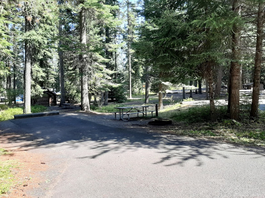
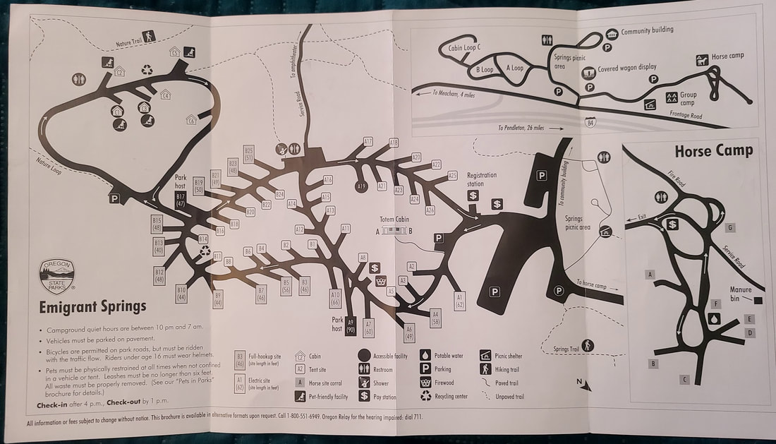
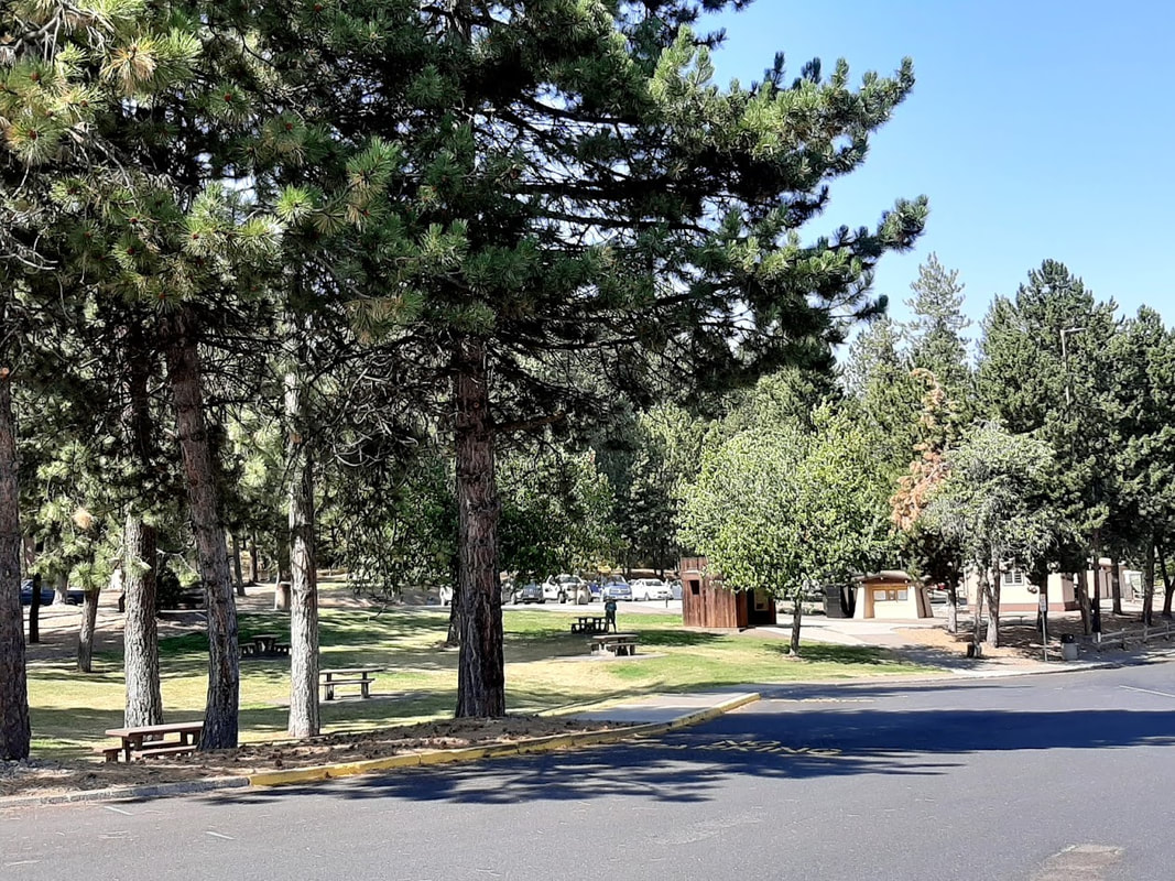
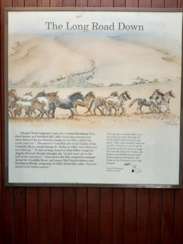
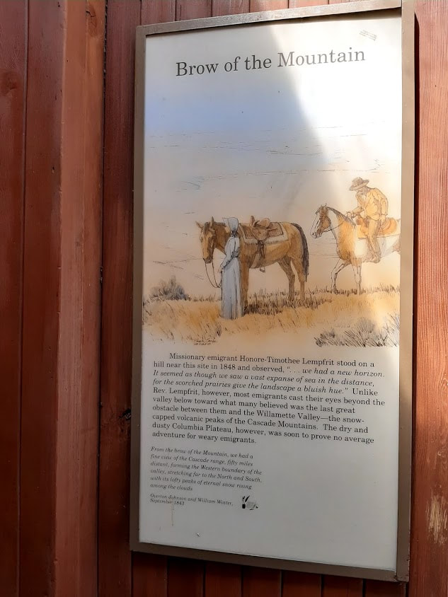
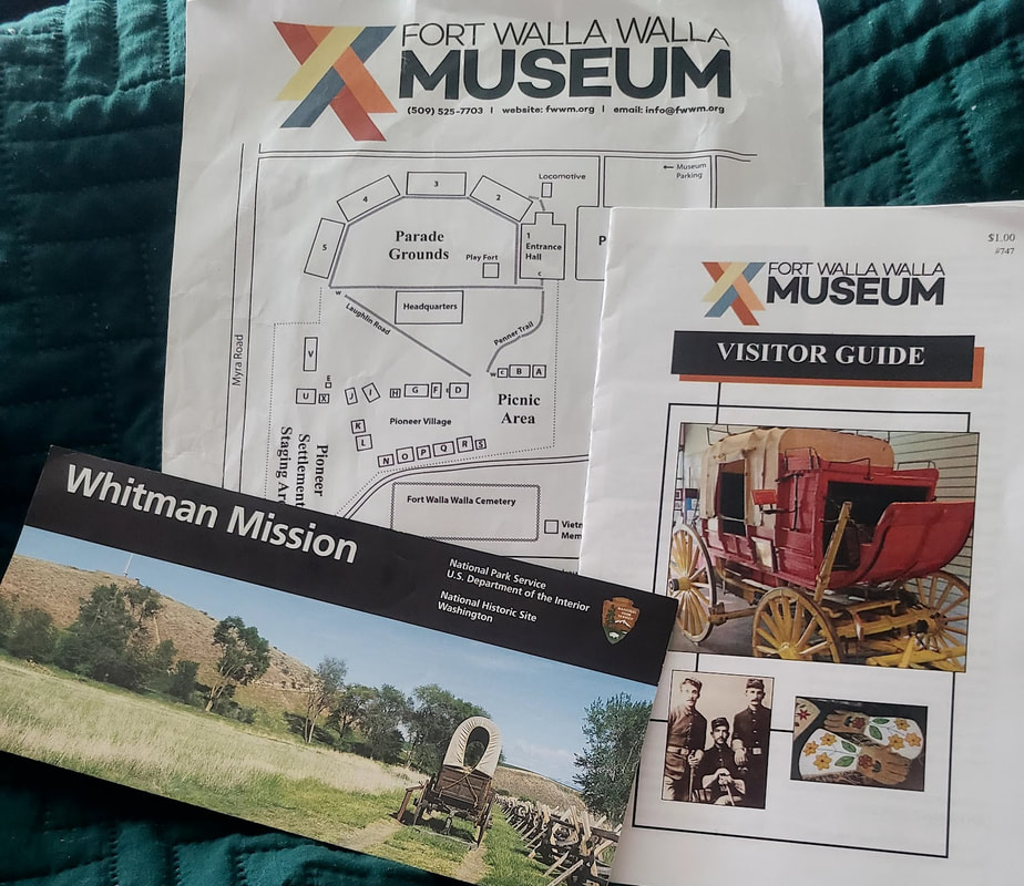
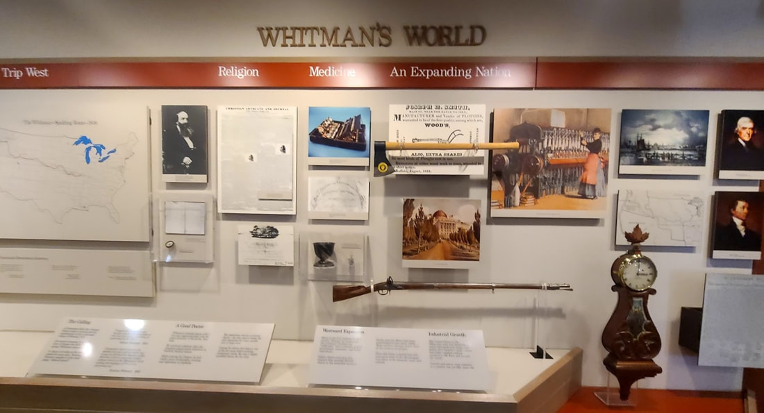
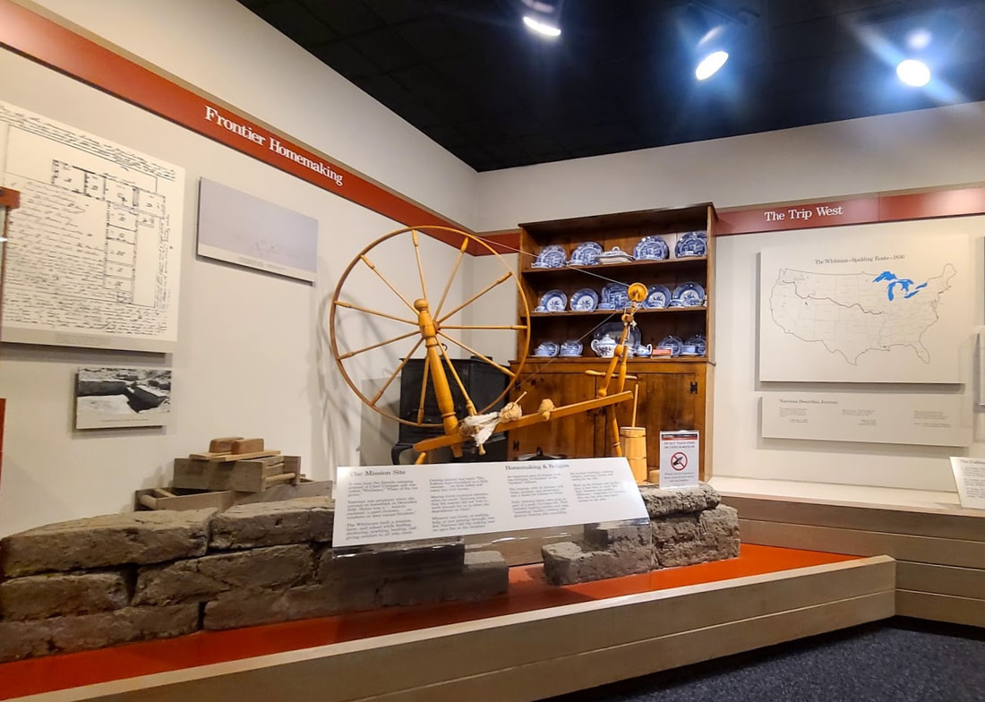
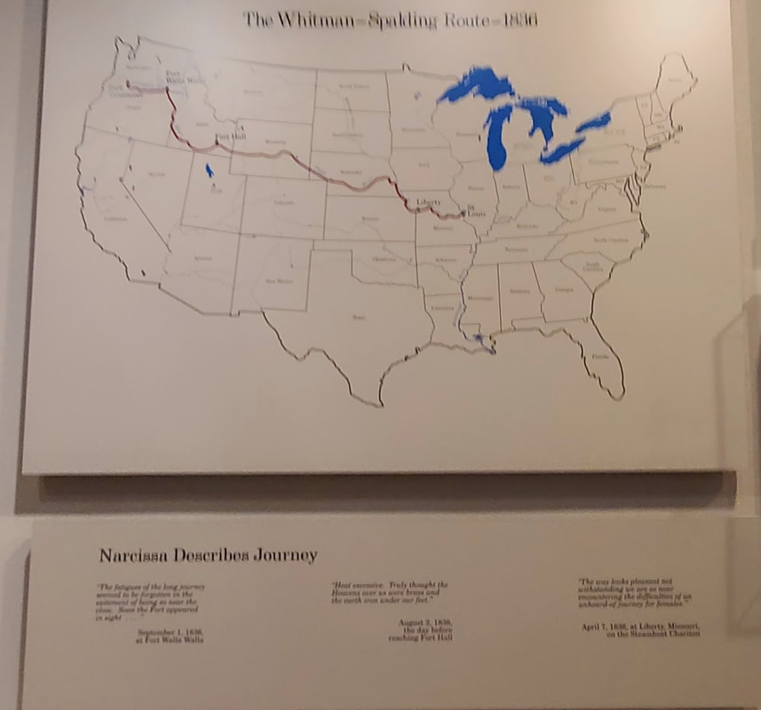
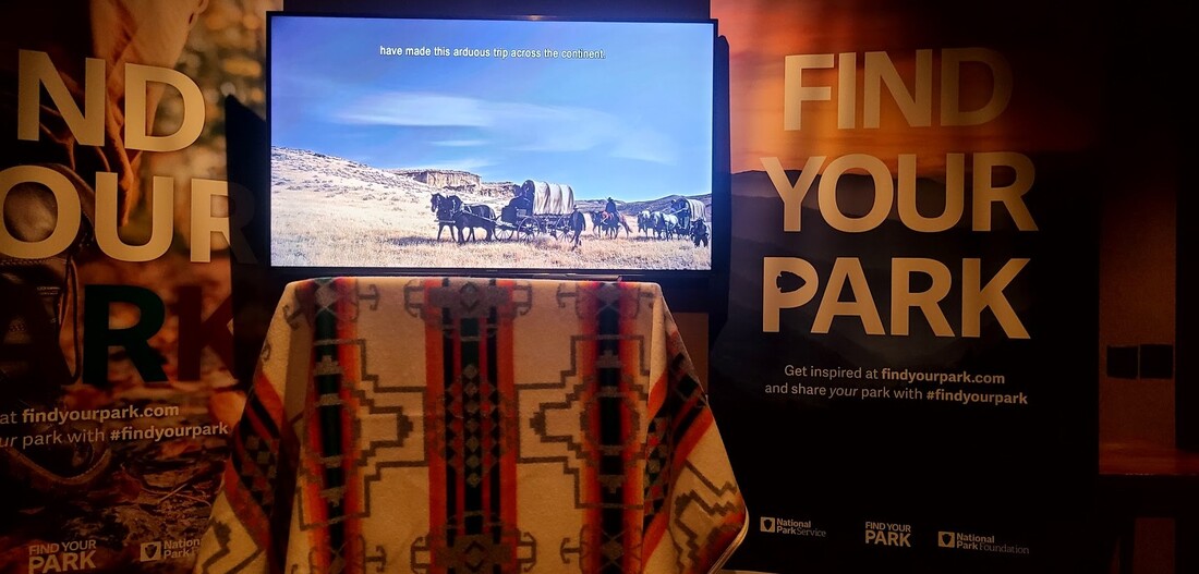
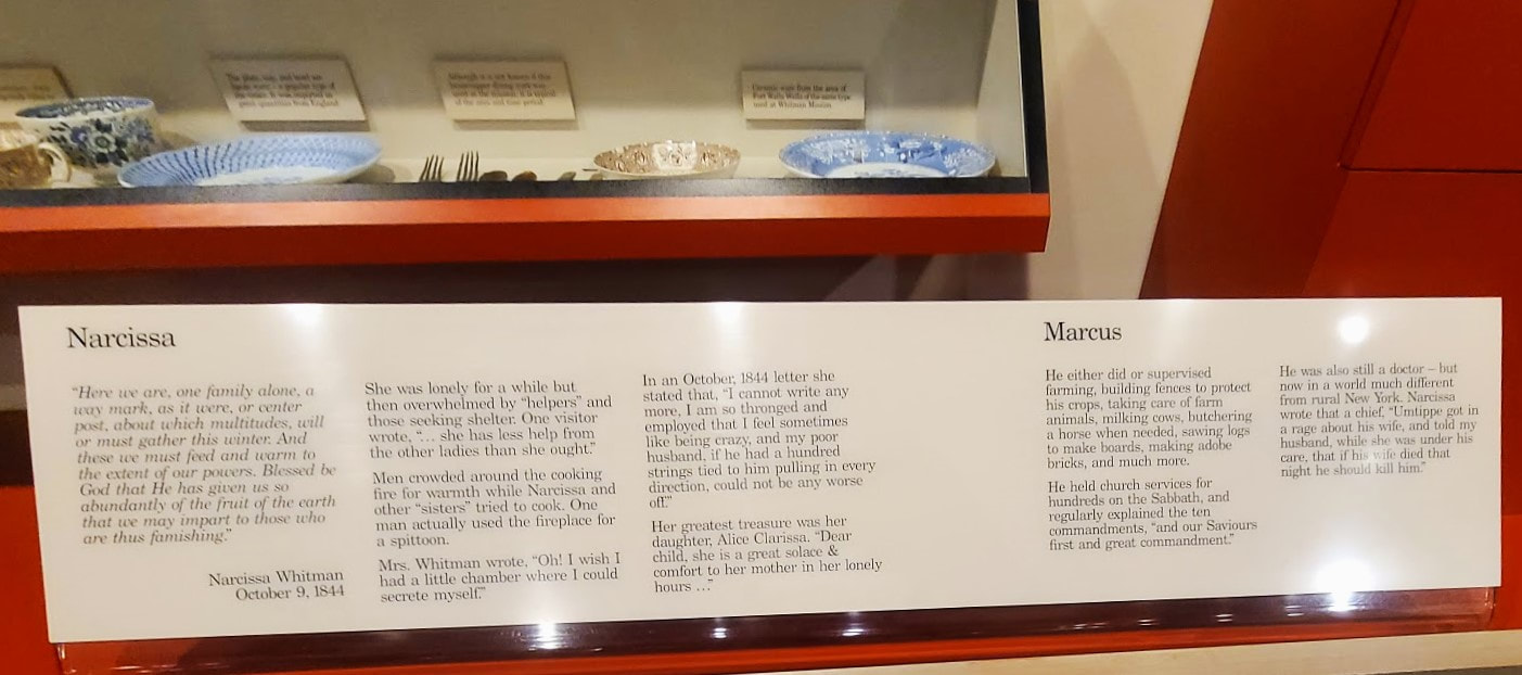
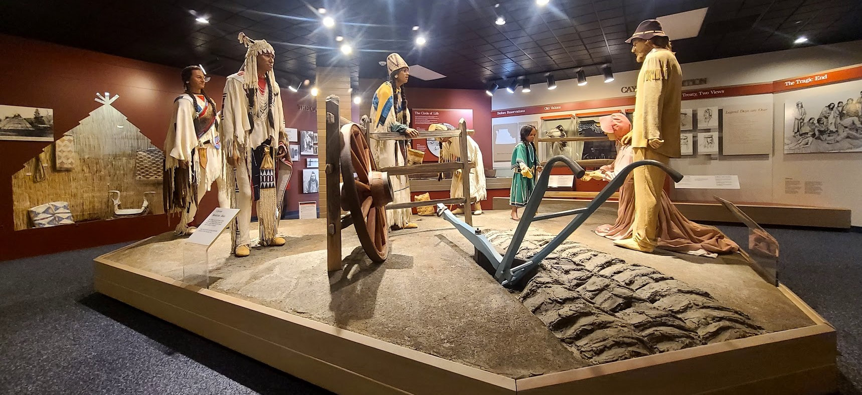
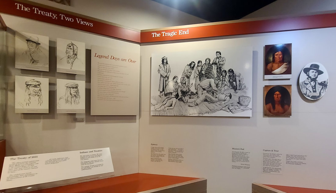
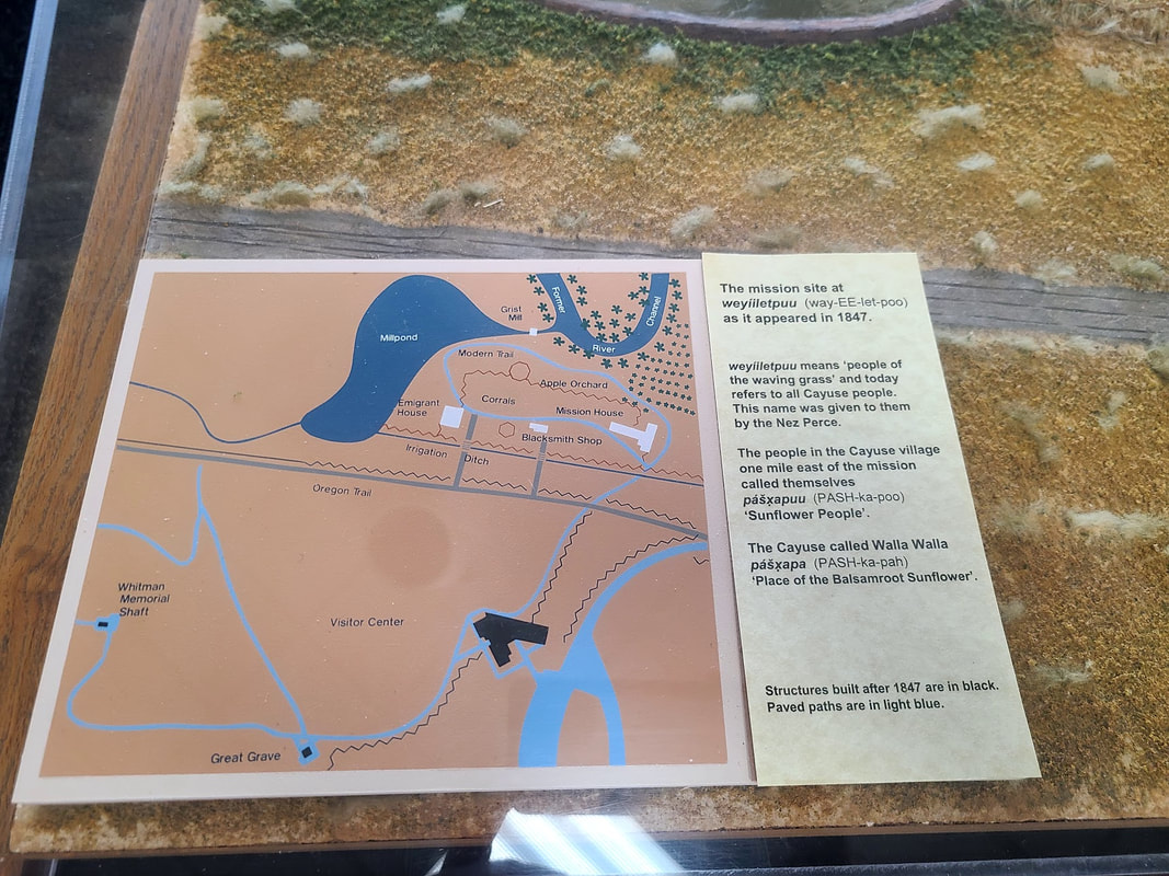
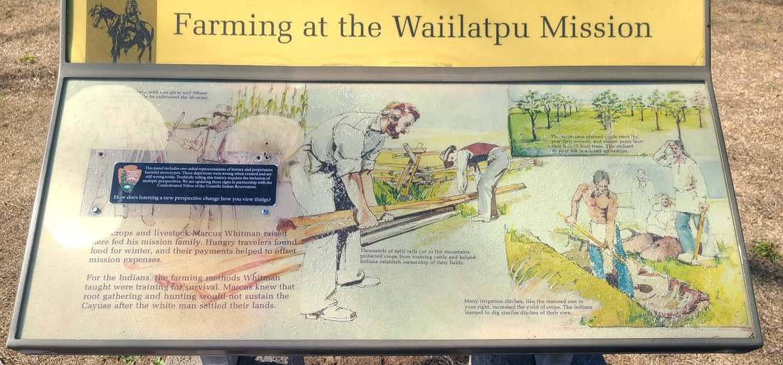
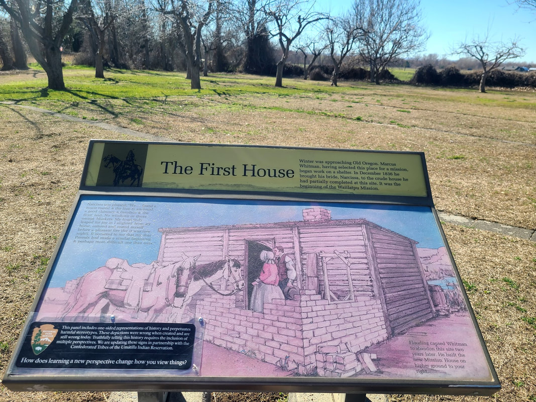
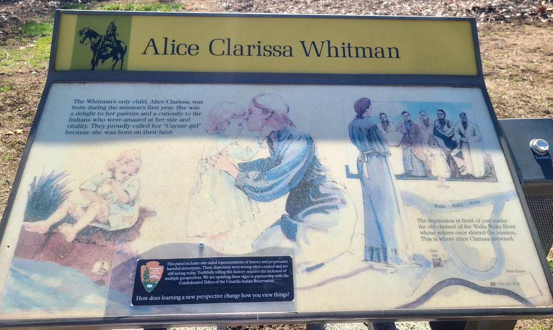
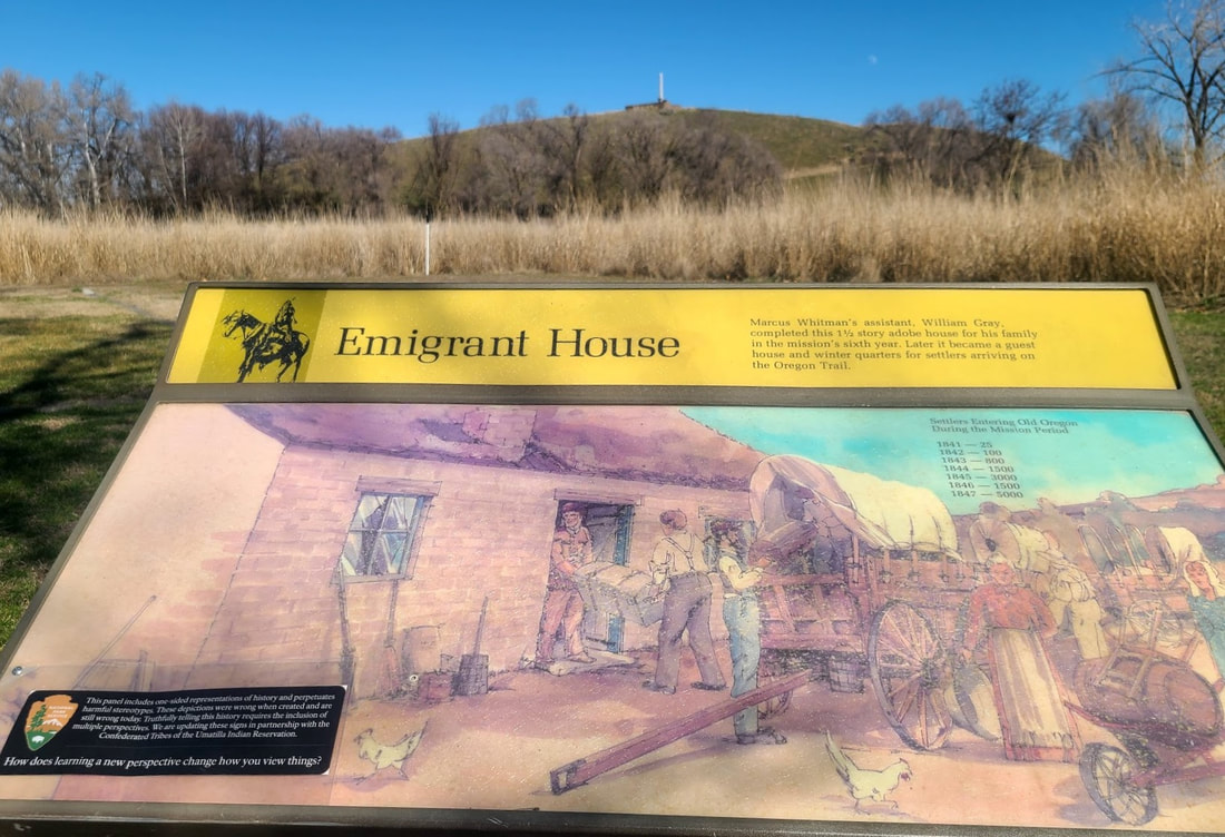
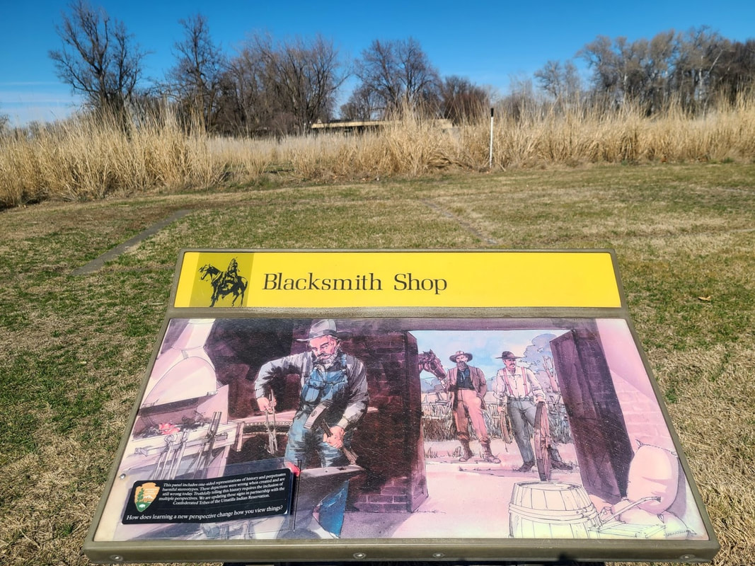
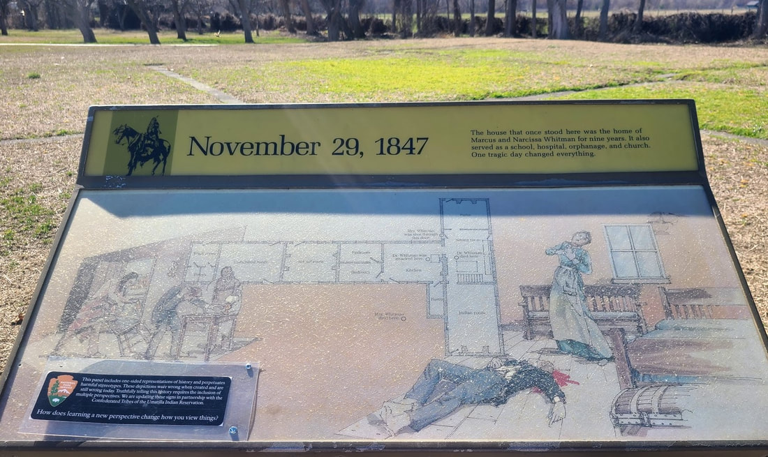
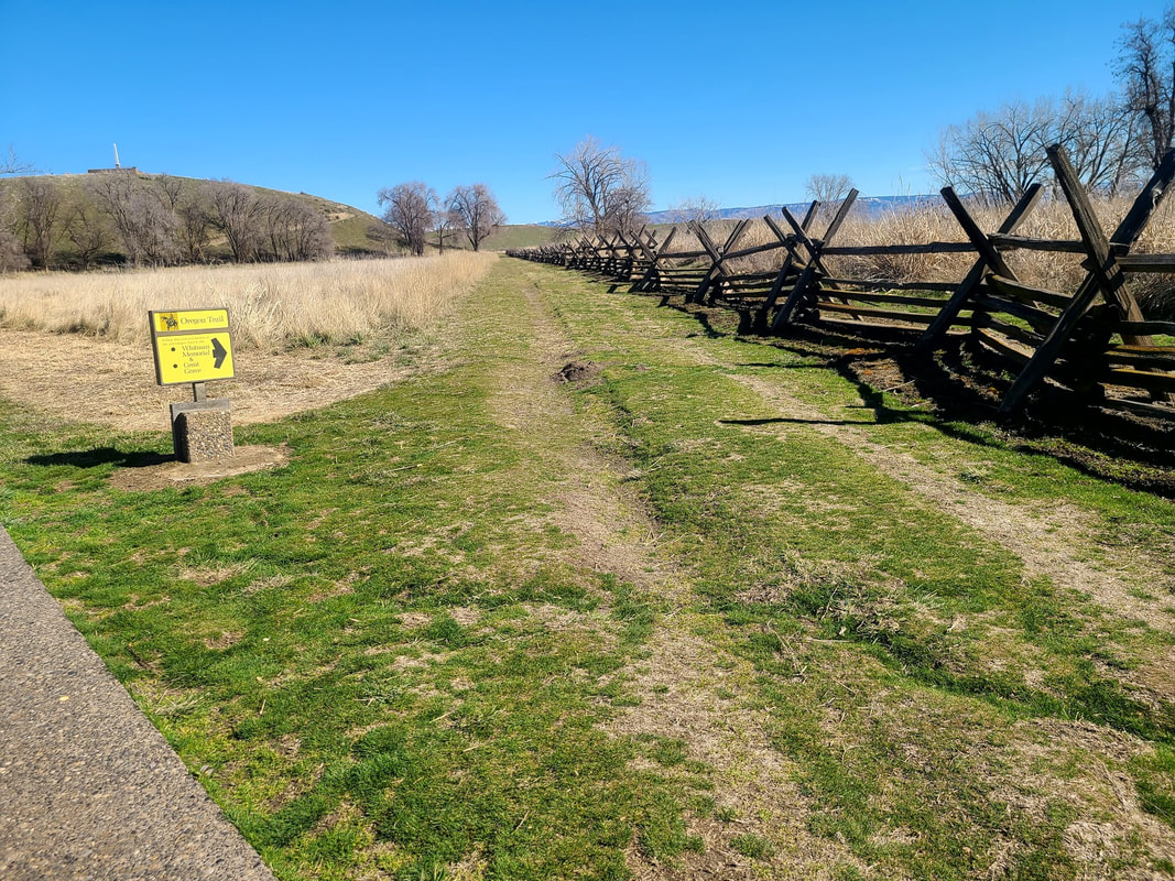
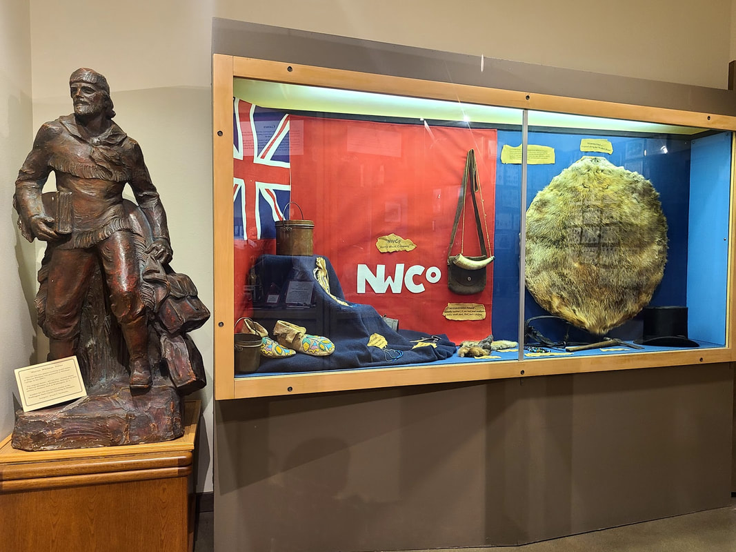
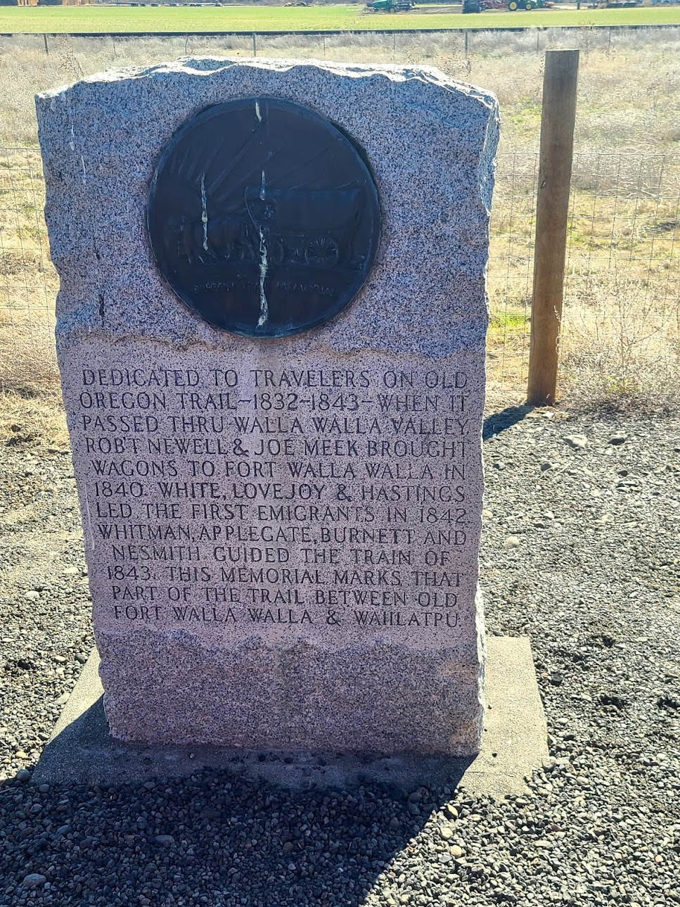
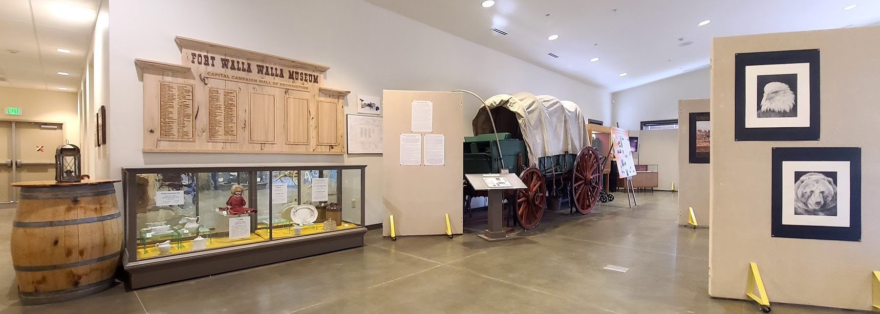
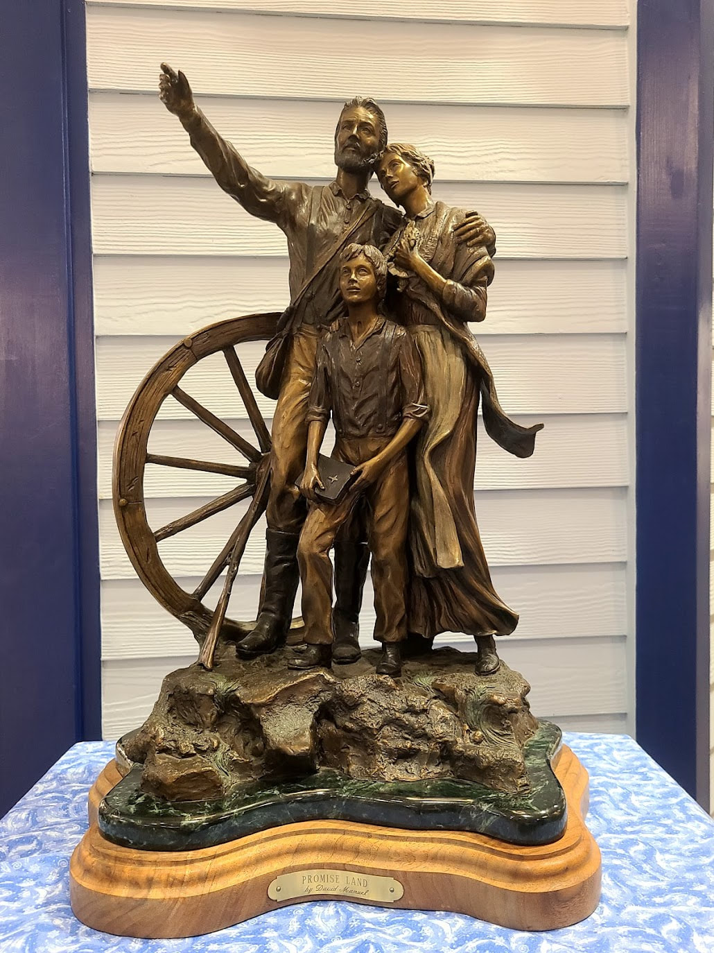
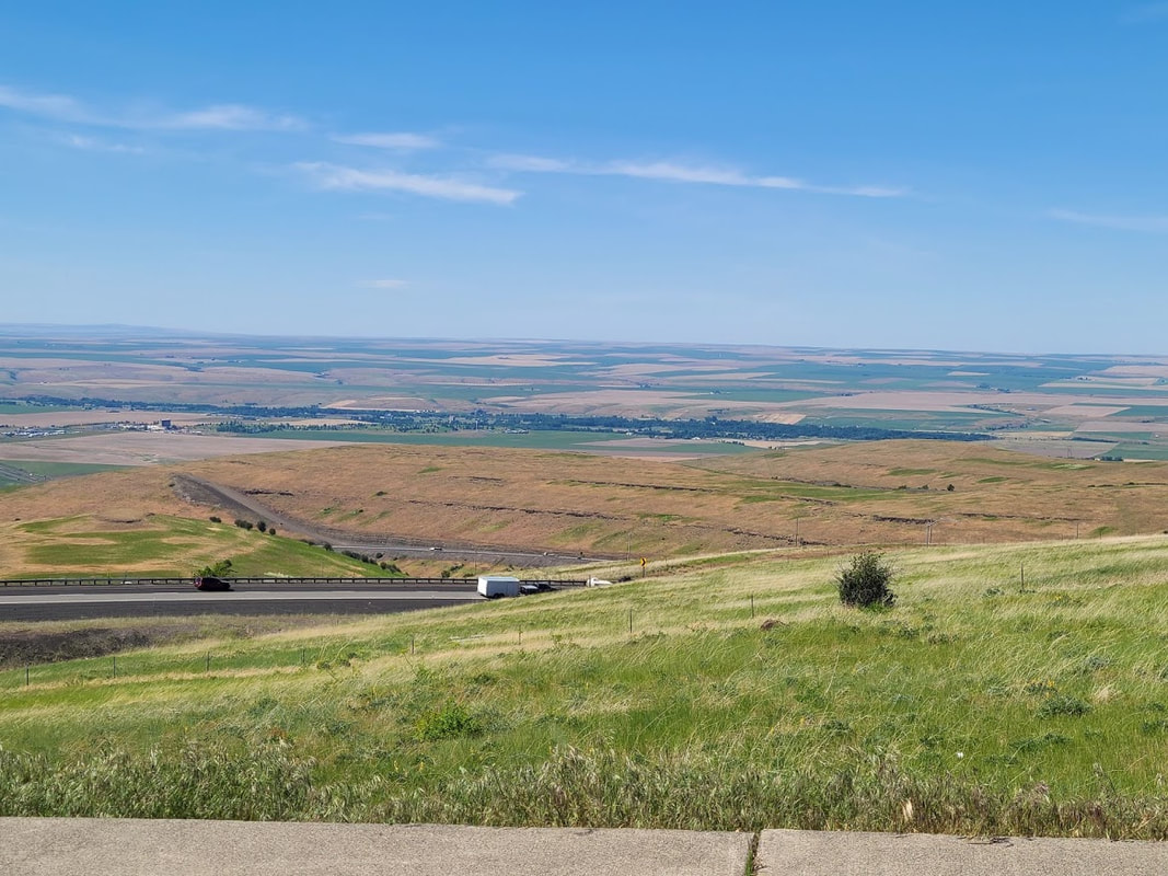
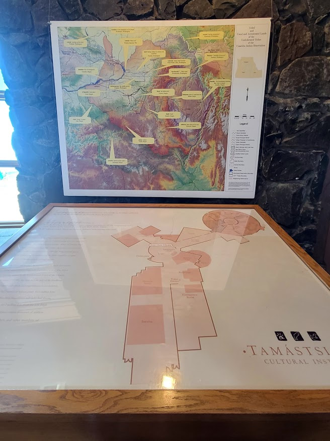
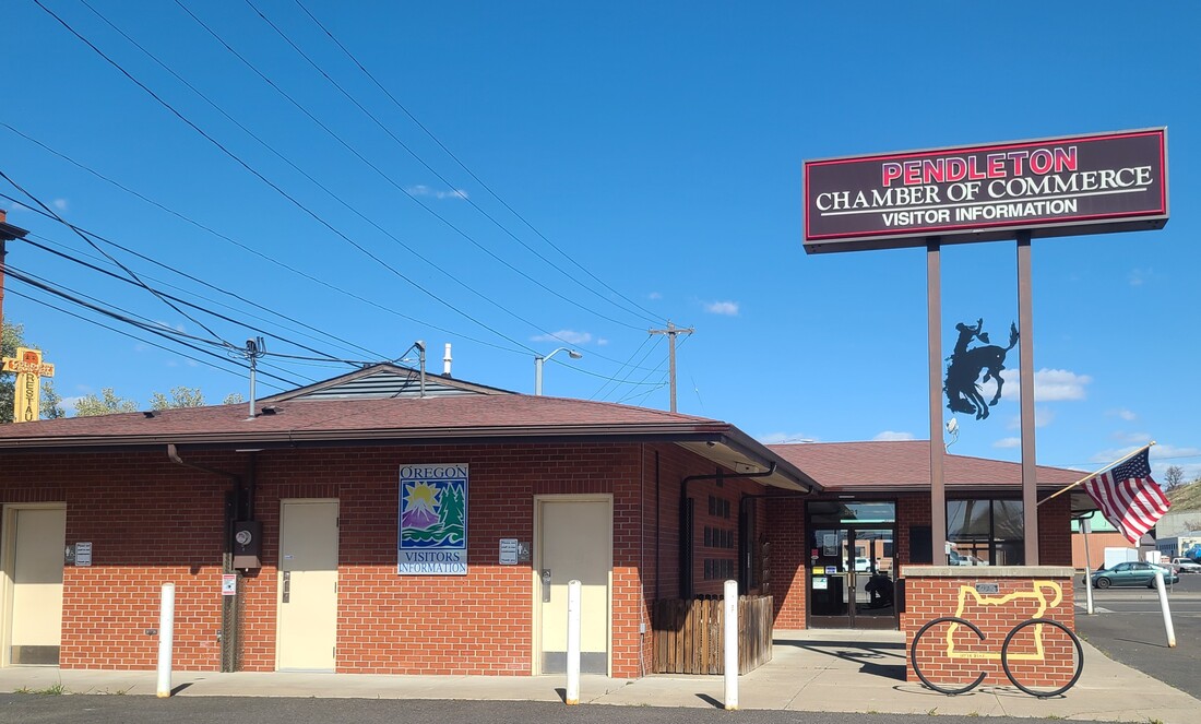
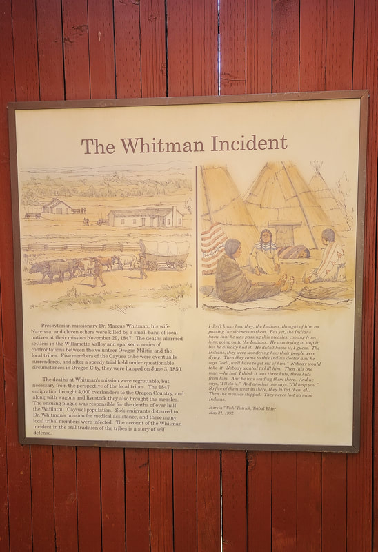
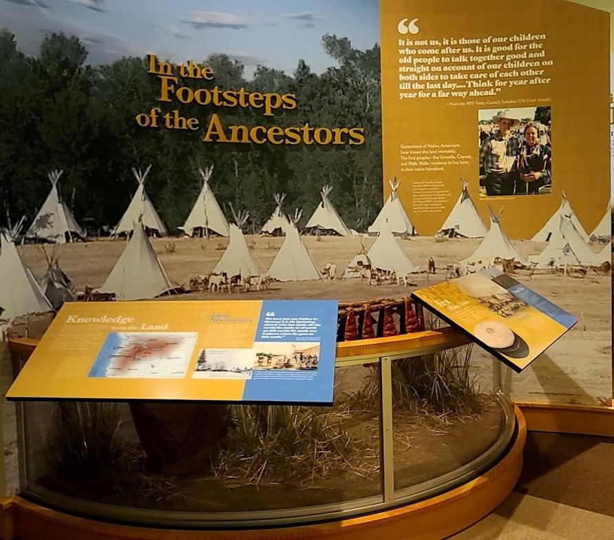
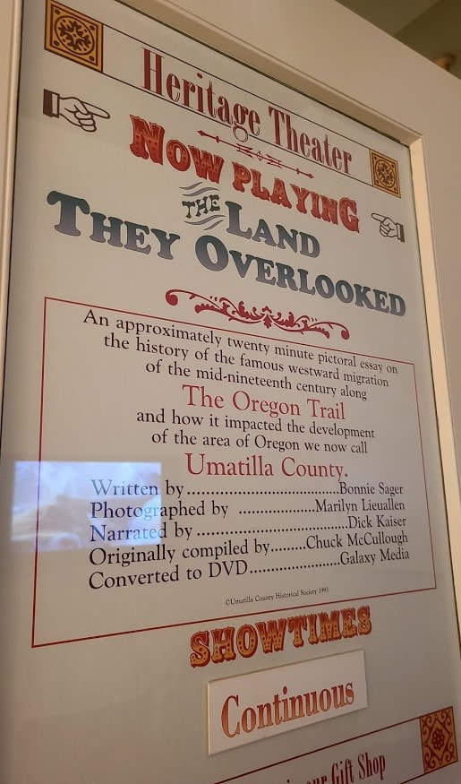
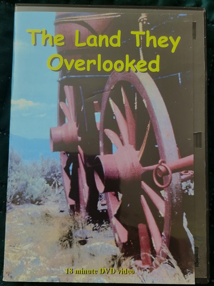
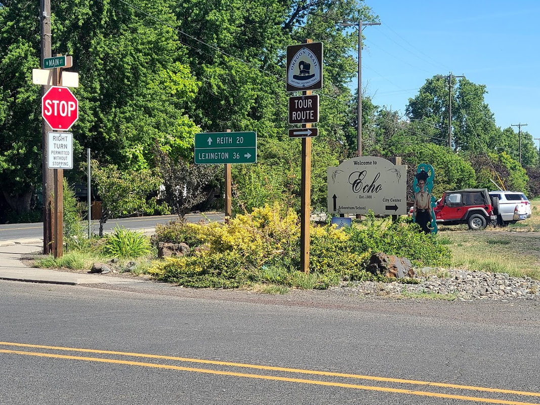
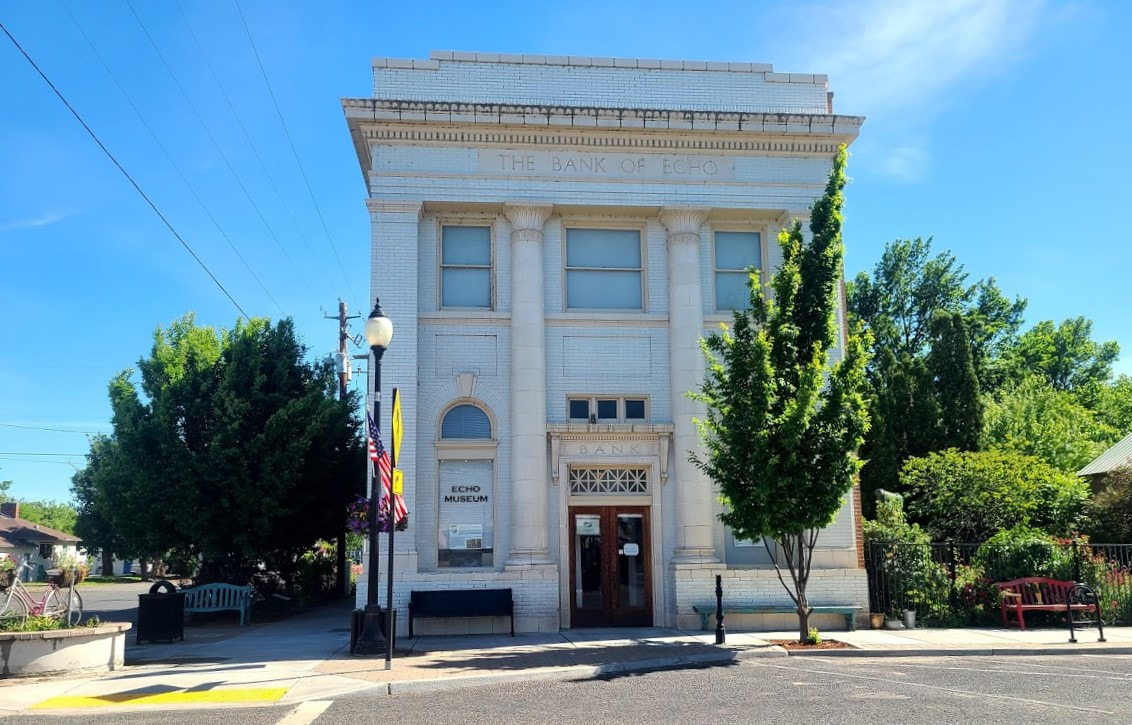
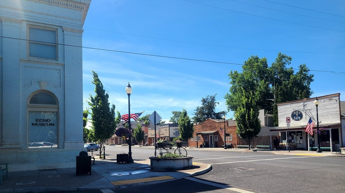
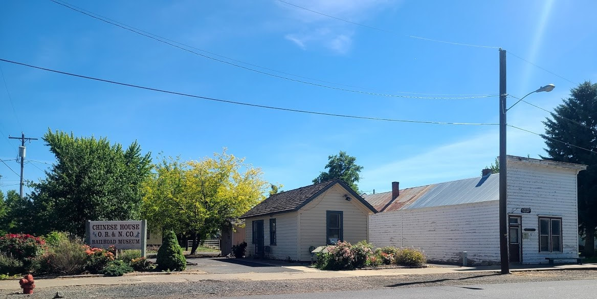
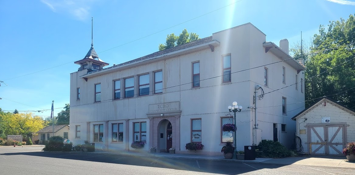
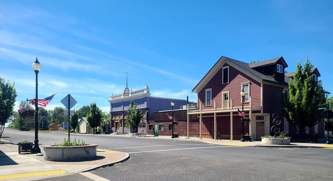
Emigrant Springs State Park--26 mi west of La Grande, 24 mi east of Pendleton (2.5 mi west of Meacham) Mid way between Pendleton & La Grande, up in the cool (or cold snowy) mountains, Emigrant Springs is a pleasant place to visit in summer, picnic, learn more about the Oregon Trail, camp, ride horses, take in the beauty of tall timber . . . Deadman Pass Rest Area--just before heading down the steep hills into the Pendleton area Whitman Mission and Fort Walla Walla, Walla Walla WA The Whitmans were important in the development of the Oregon Trail from a trader/trapper track to a wagon road. After only a couple years the main Oregon Trail did not include the tangental trip to the mission, except for those in necessity. After the mission was attacked through the clash of cultures and misunderstandings, it was abandoned. There are yet a few memories of the genesis of the Oregon Trail in the Walla Walla area, and at Fort Walla Walla museum. Whitman Mission National Historic Site, Walla Walla WA Fort Walla Walla Museum, Walla Walla WA The Tamastslikt Cultural Institute and Pendleton OR Descending Emigrant Hill has improved even since I was a child, imagine how it would have been in a covered wagon without a paved road or an efficient braking system! But no doubt the view was as spectacular then as it is now. At the bottom of that hill is the comprehensive Arrowhead Travel Plaza, Wildhorse Casino Resort, and the Tamastslikt Cultural Institute, a museum of the region's Native Americans. Part of its presentation is the effect of the Oregon Trail on Native Americans. Very interesting exhibits, including both sights and sounds. Unfortunately, they ask that no photos or recordings be taken of the exhibits. They generally have an annual Pow Wow, and other events. I believe they participate in the Pendleton Round-up each year. Pendleton celebrates its heritage, and one of the highlights is The Heritage Station Museum: really worth visiting. Right next to the museum, and the RR tracks, is Museum Park, with the Oregon Trail pavilion, and the Chamber of Commerce is handily by. For more info and photos of Pendleton and The Tamastslikt Cultural Institute, see Echo OR (a bit south of I-84), and Echo Meadows (where ruts can be seen) Last I was there, Echo was a pretty cute little town. There's an Oregon Trail driving tour through Echo, I tried it 2-3 times and was only partly successful. Not enough signs and no mileage clues. A map with key and annotations/directions is available from the the city and/or museum (which has limited hours--you can request them to mail brochures), but I haven't had a chance to try it out since I obtained the brochure. I did at least find Echo Meadows, though I didn't have the energy to get out of the car at the time.
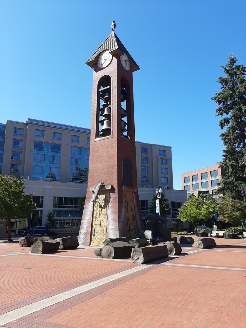
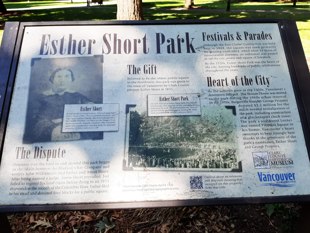
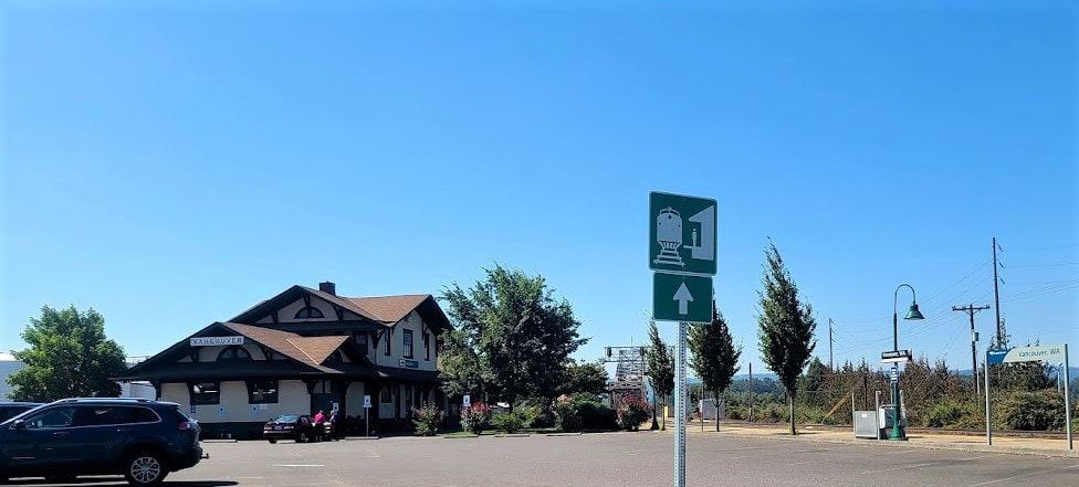
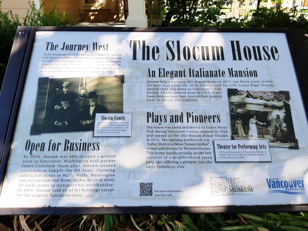
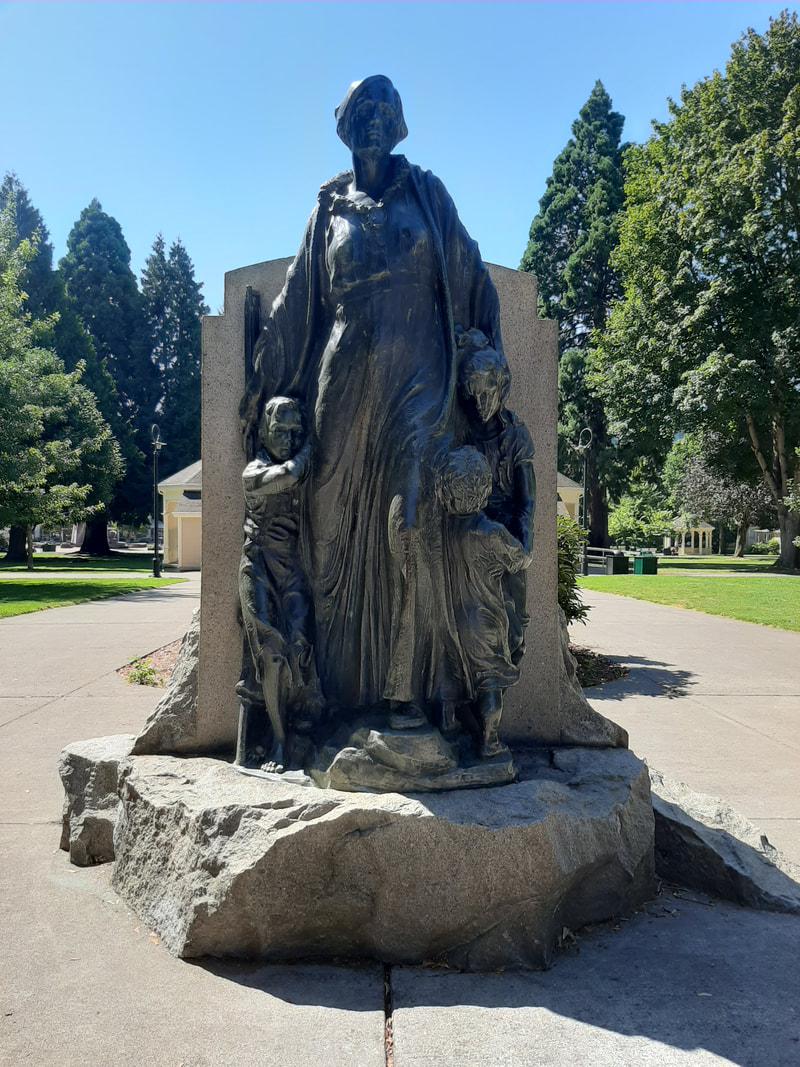
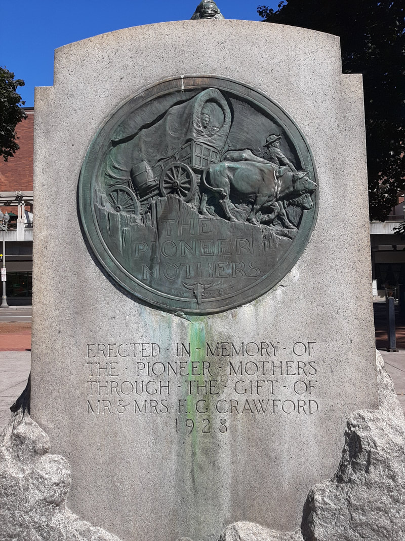
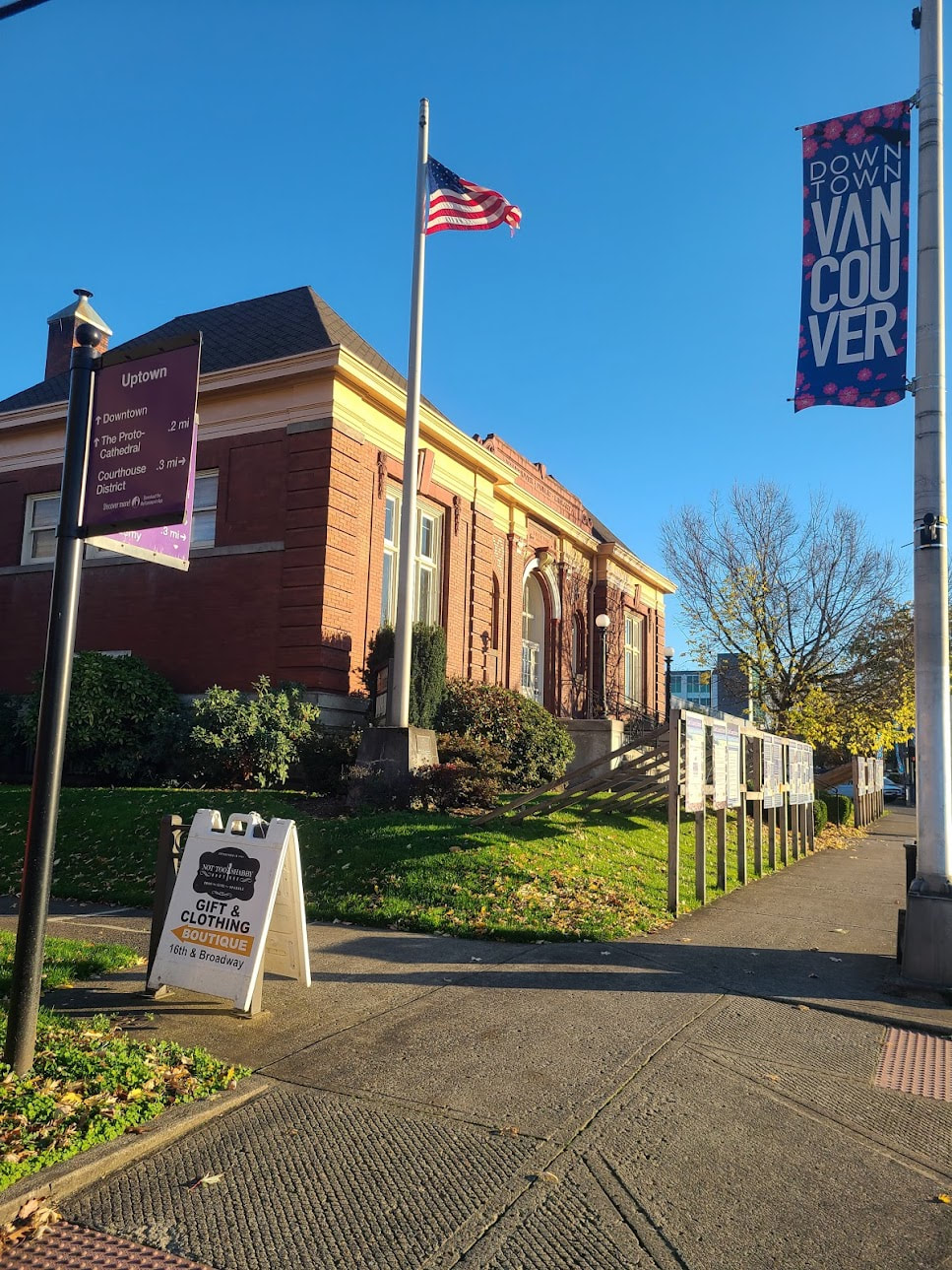
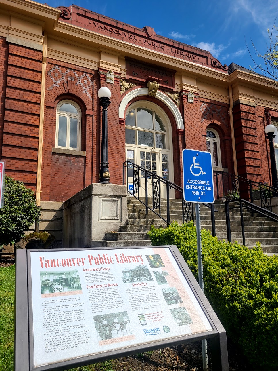
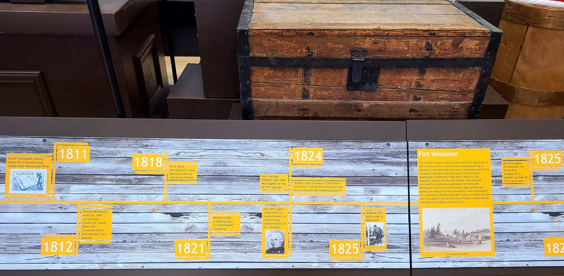
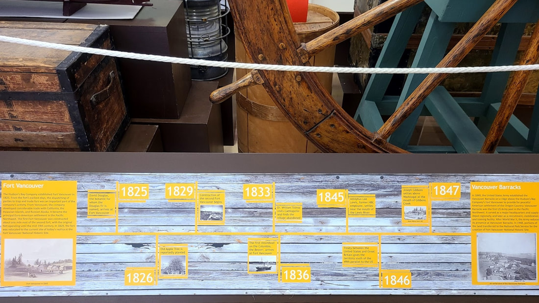
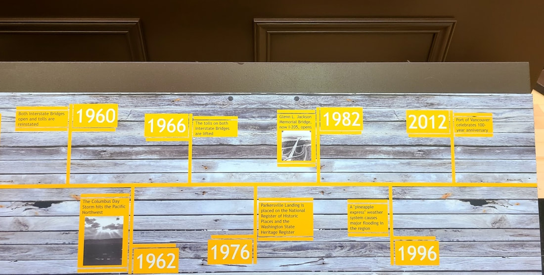
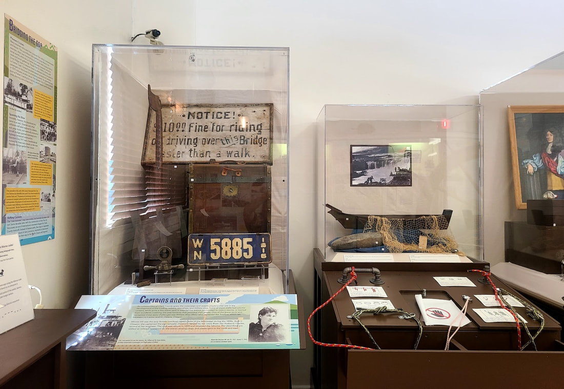
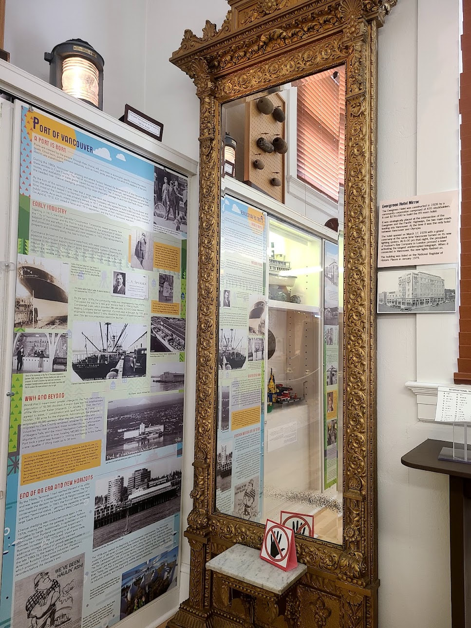
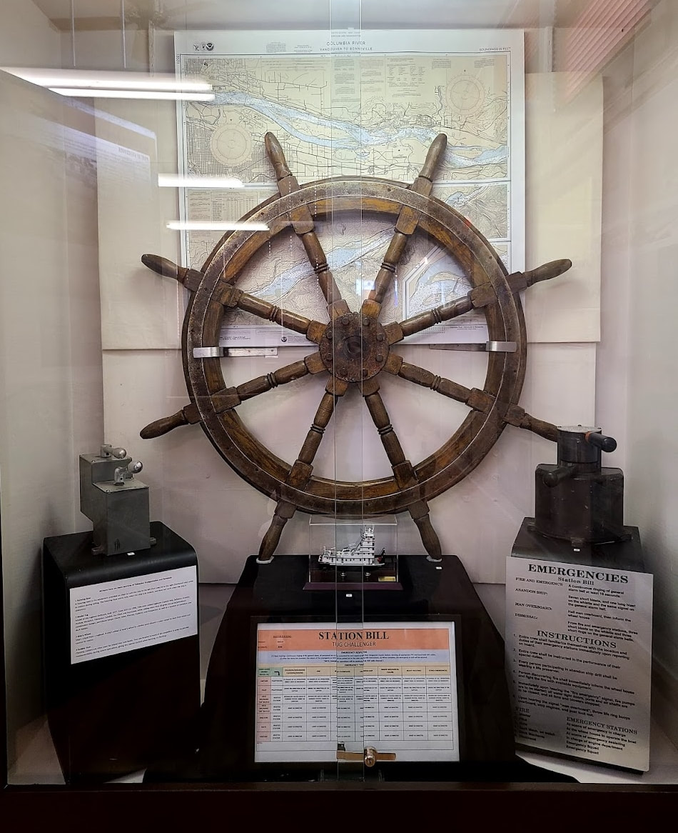
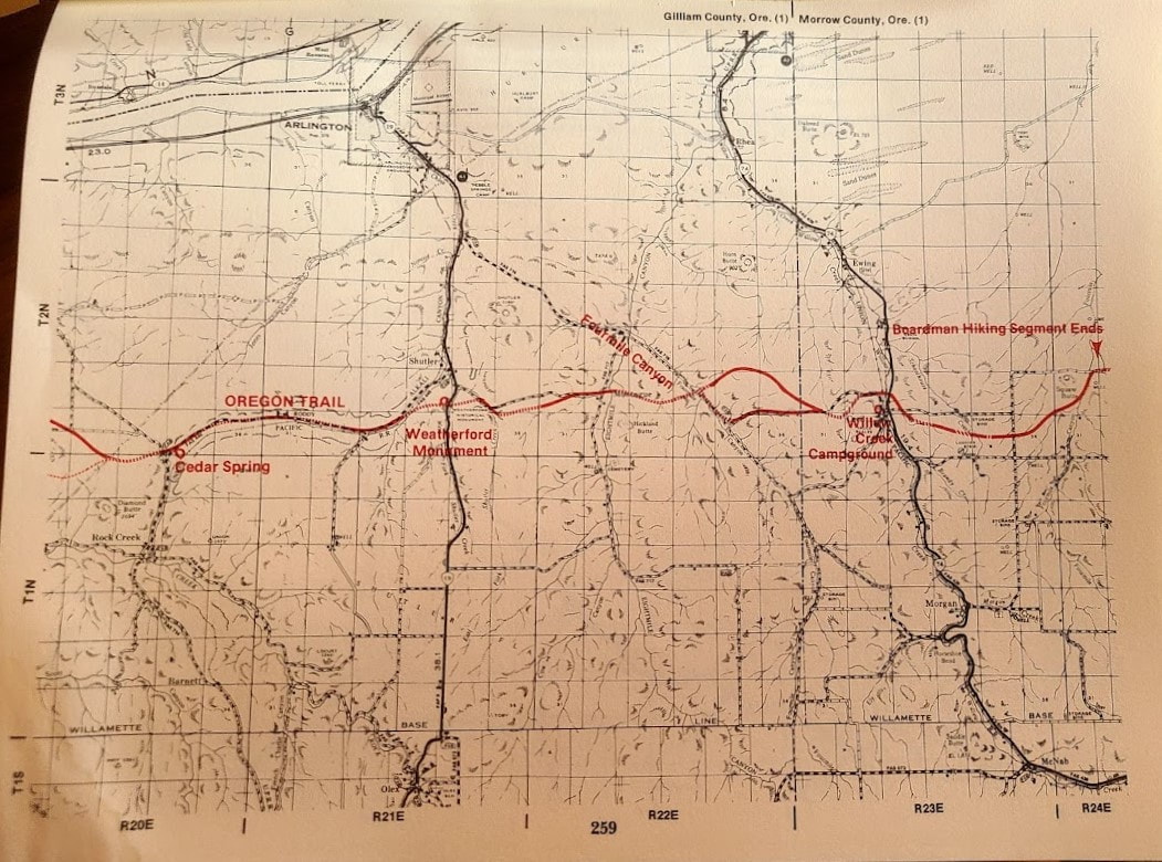
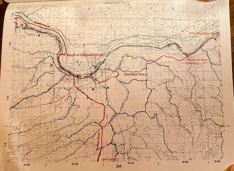
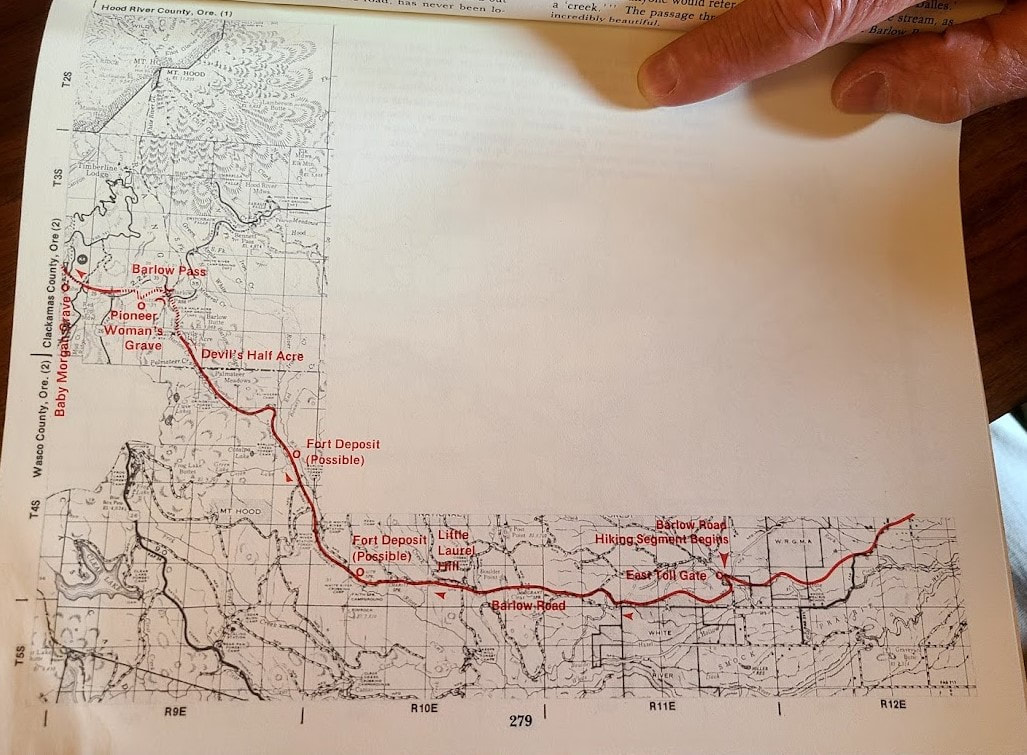
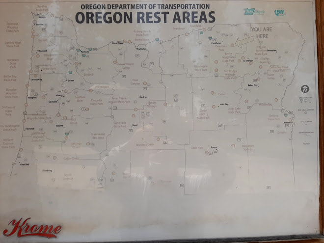
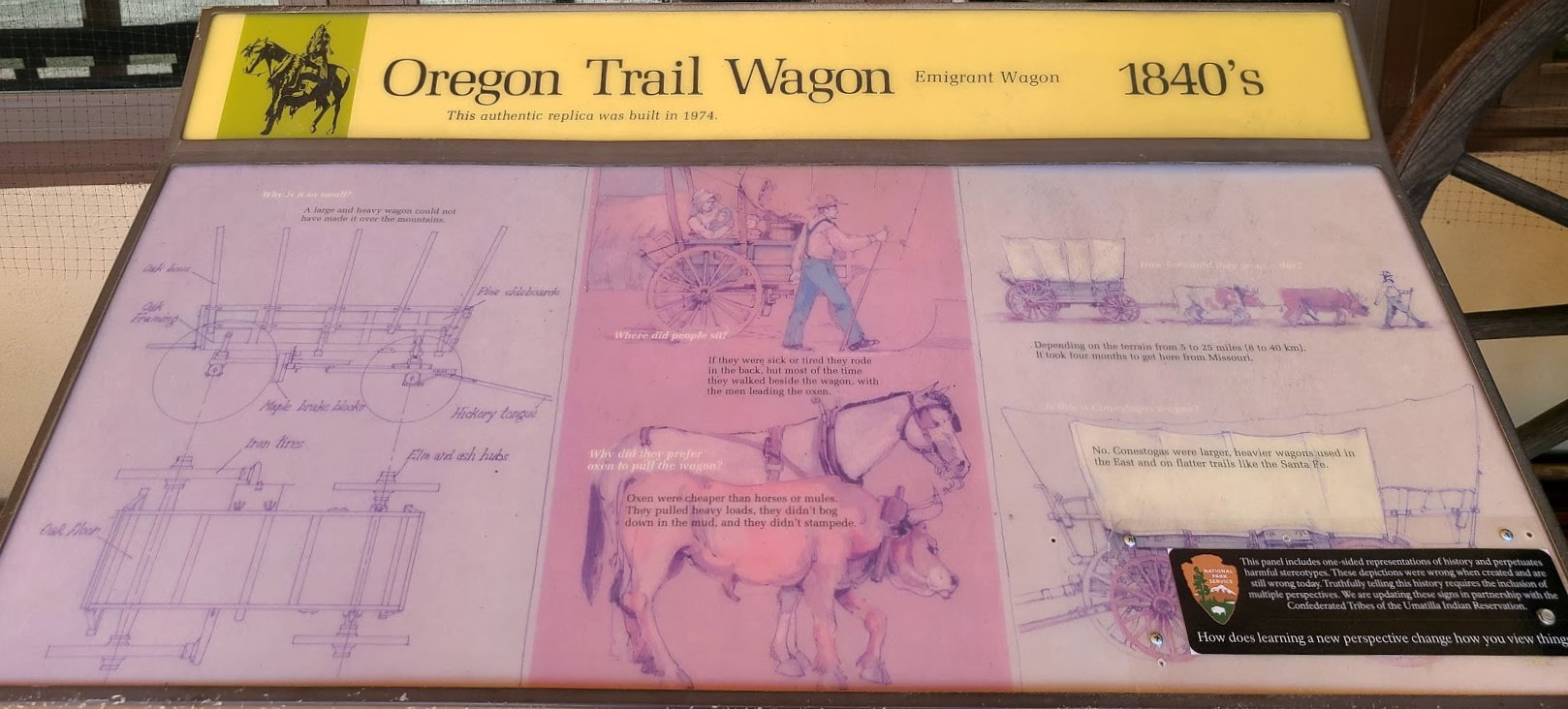
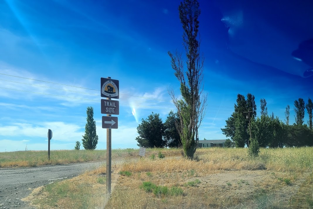
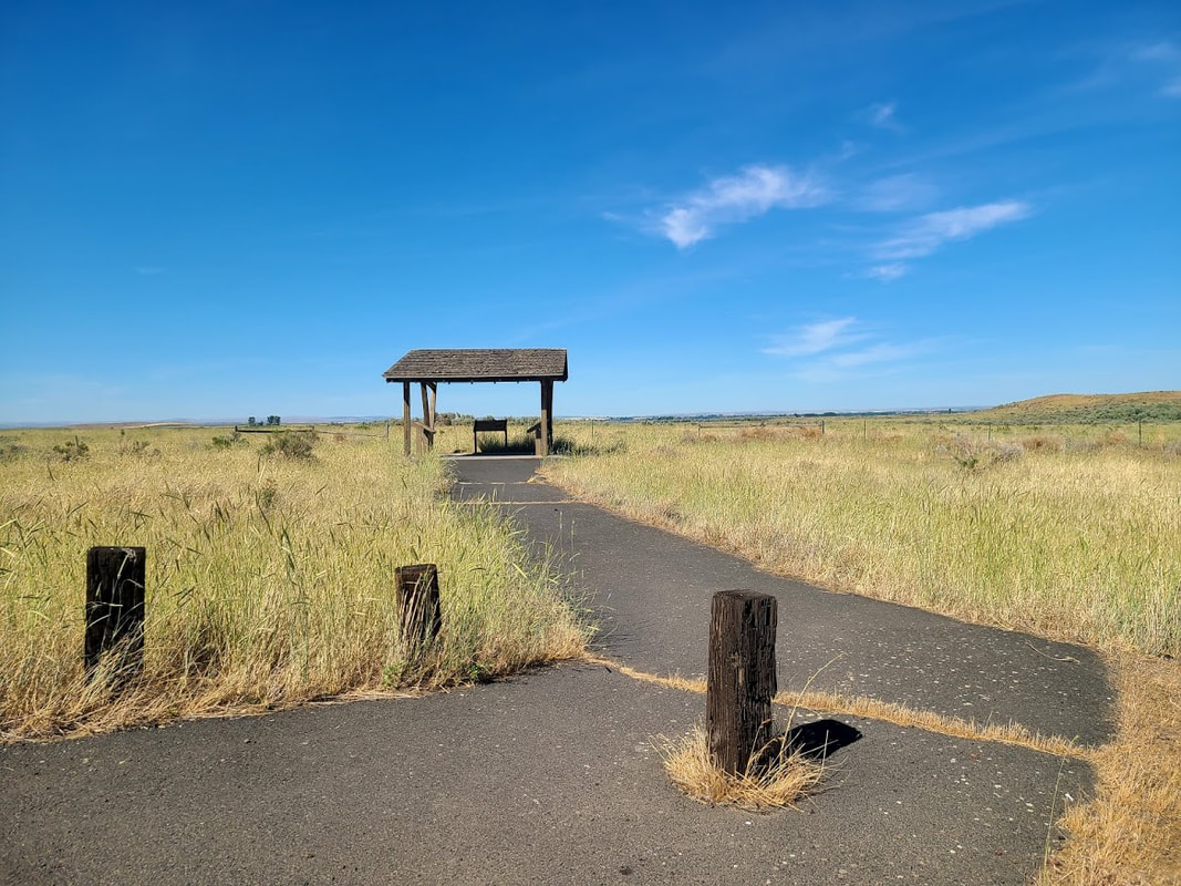
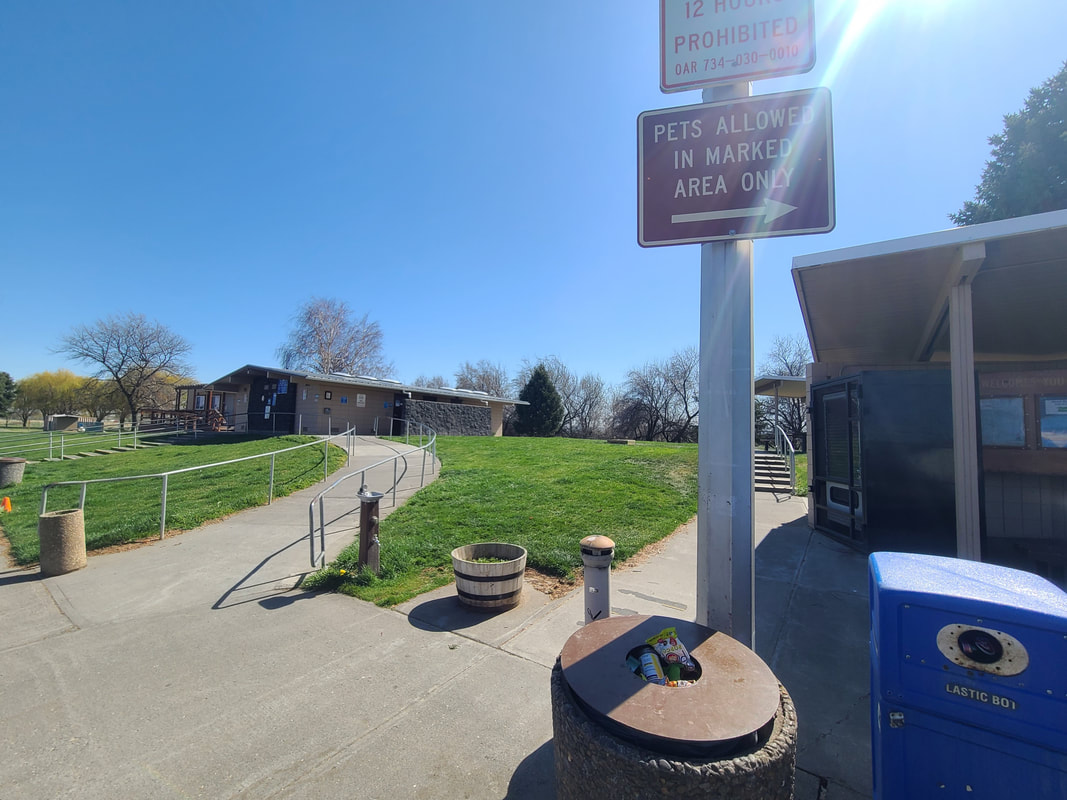
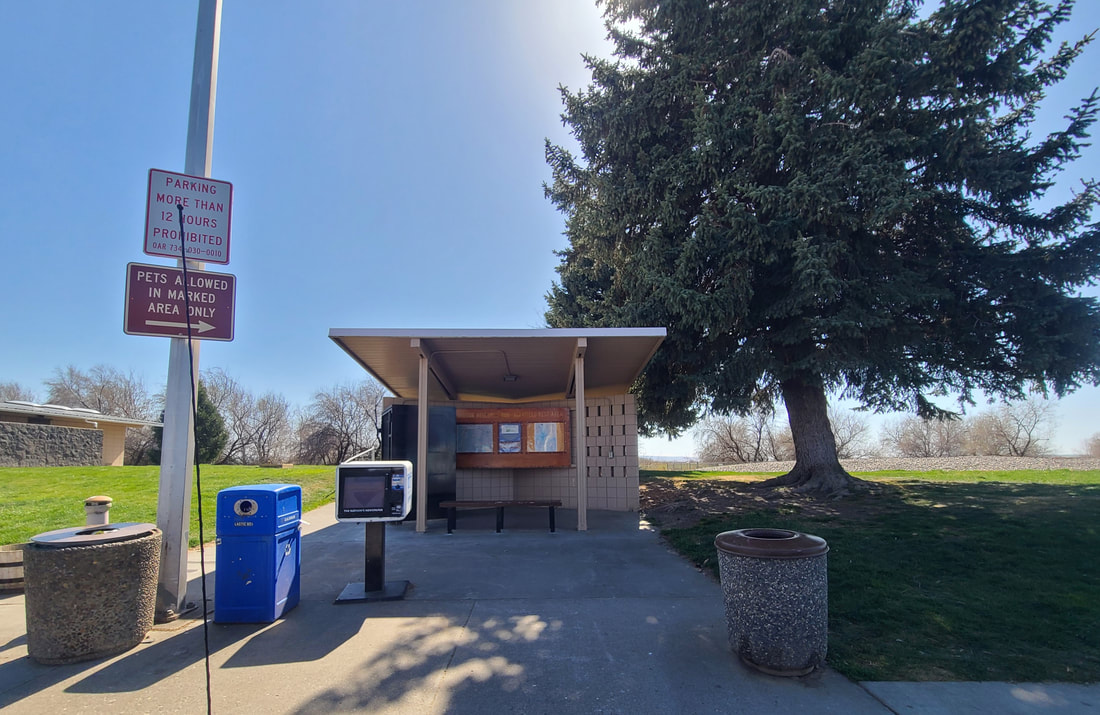
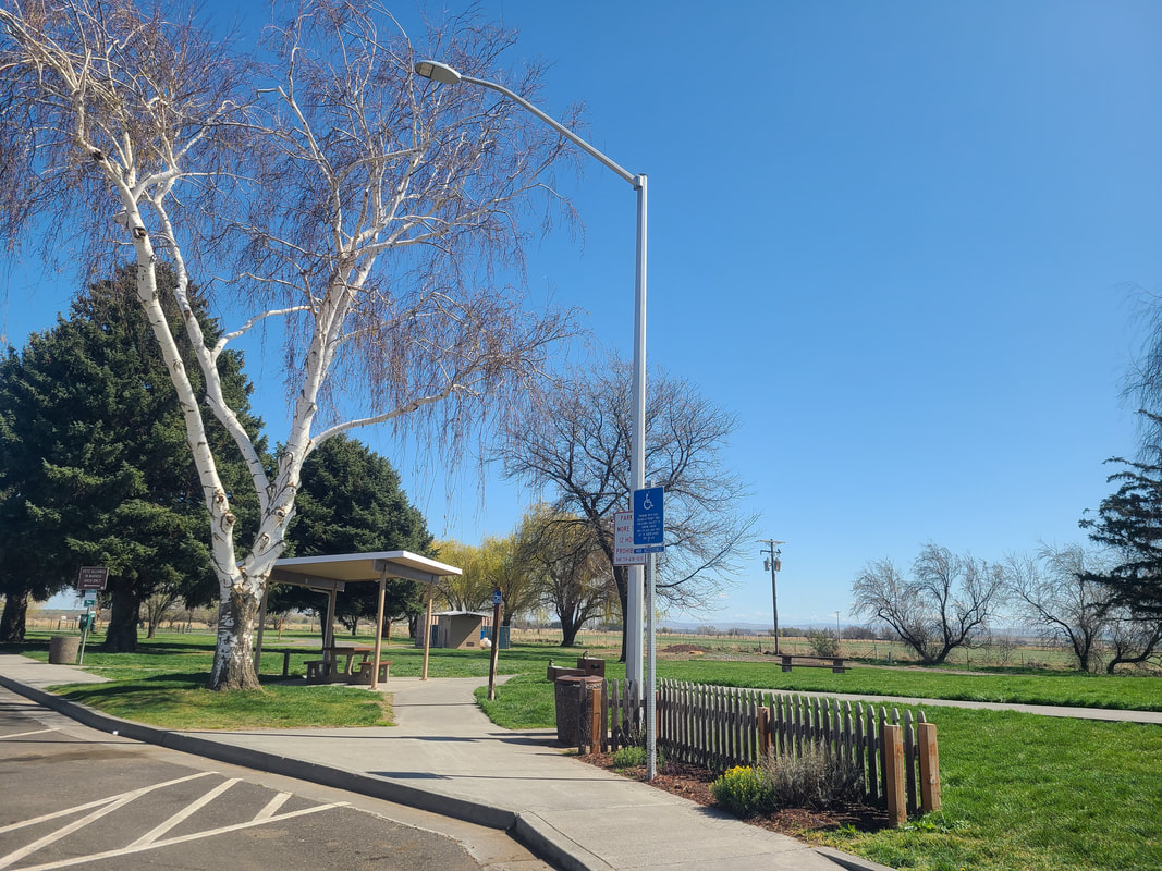
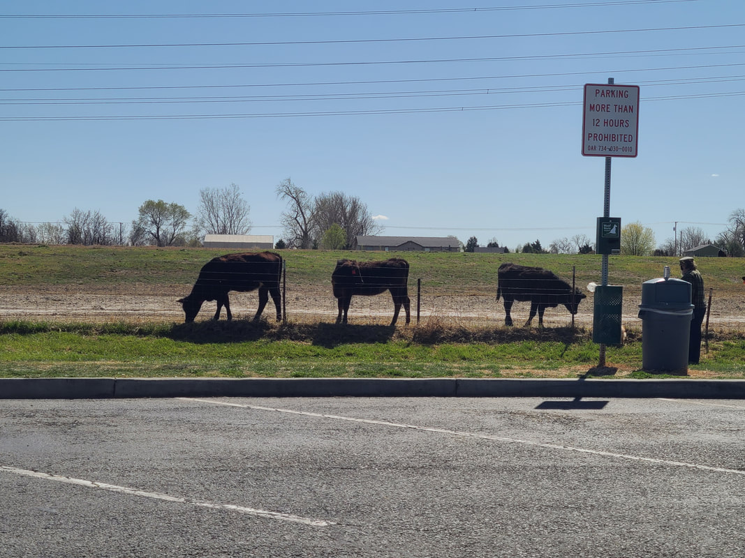
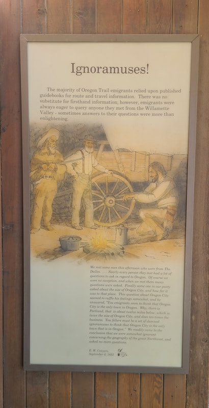
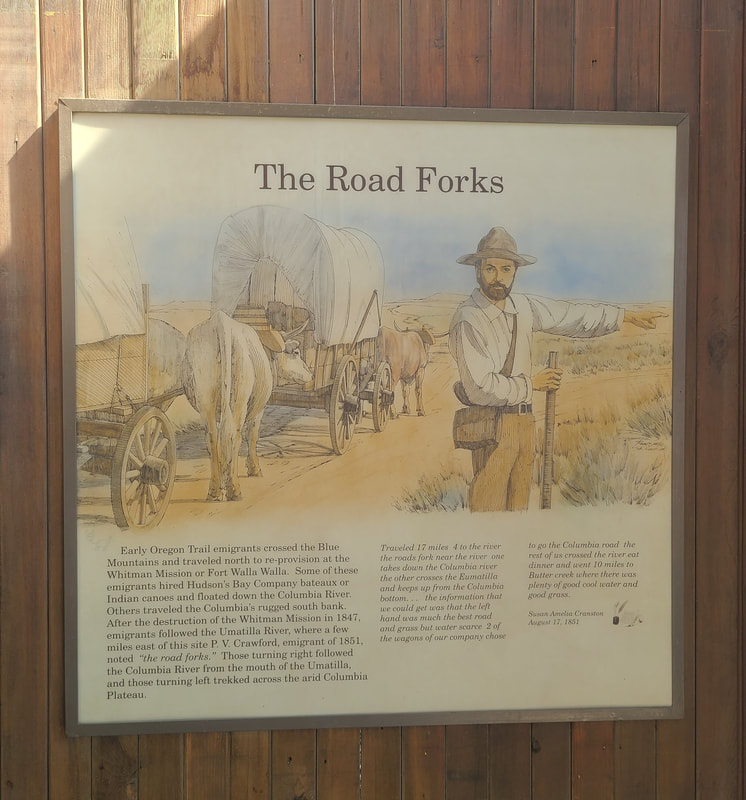
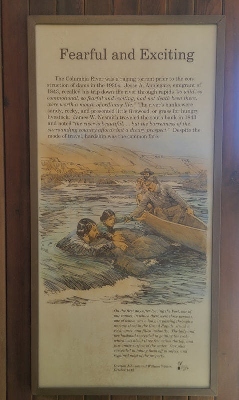
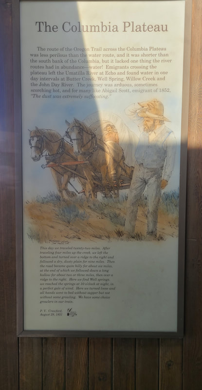
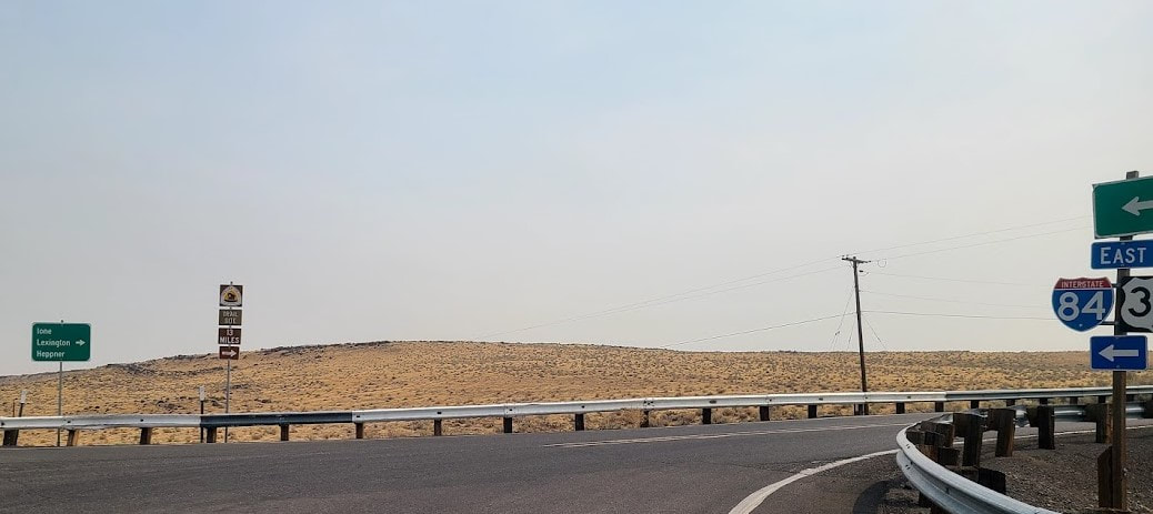
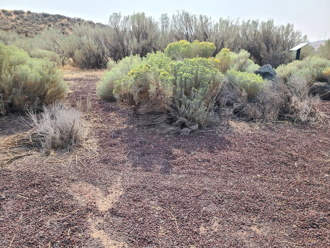
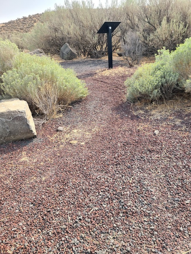
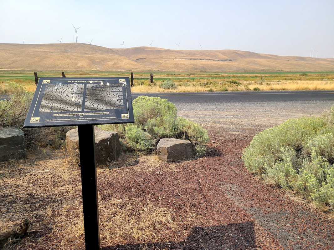
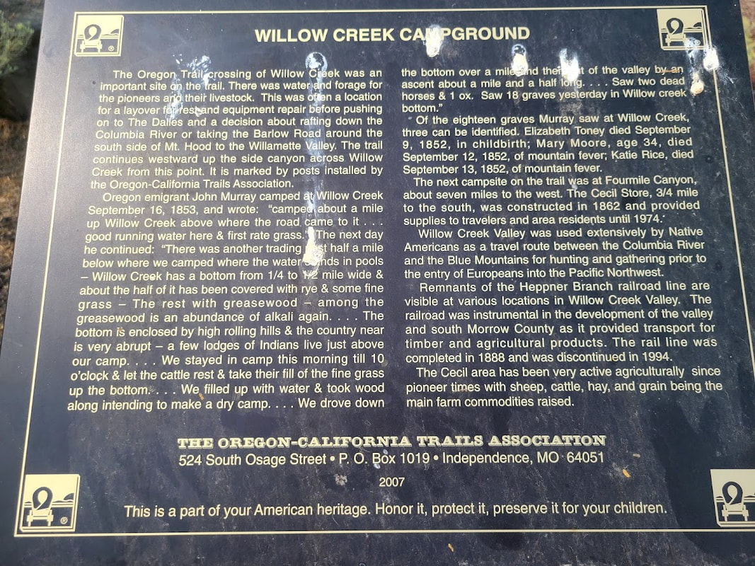
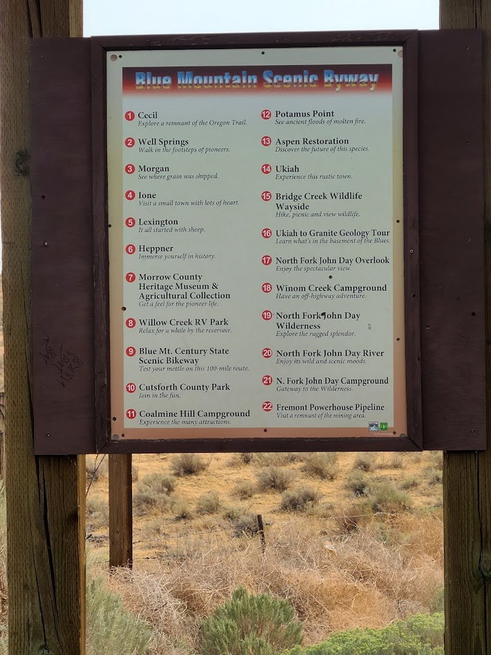
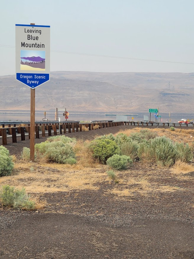
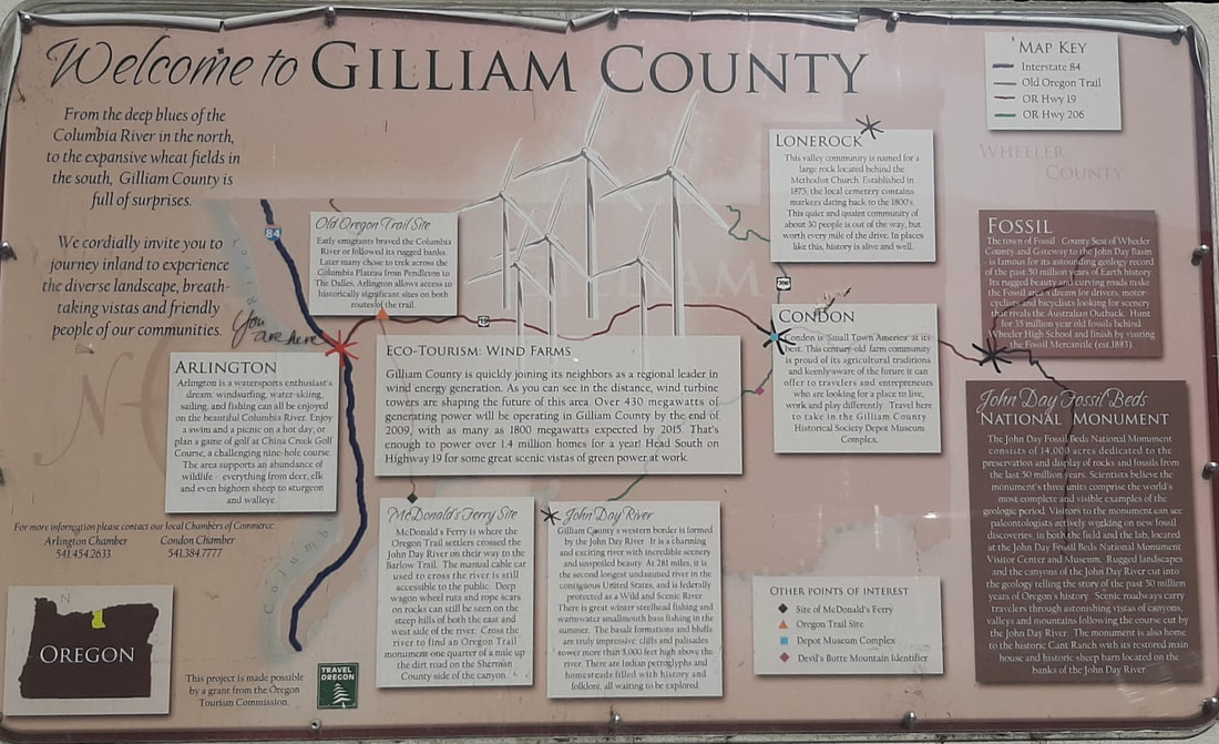
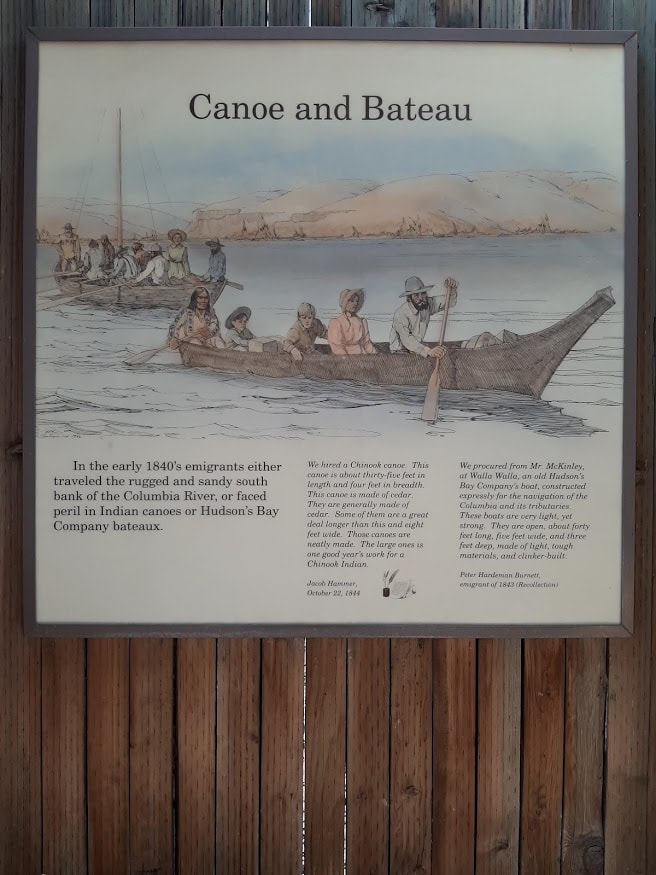
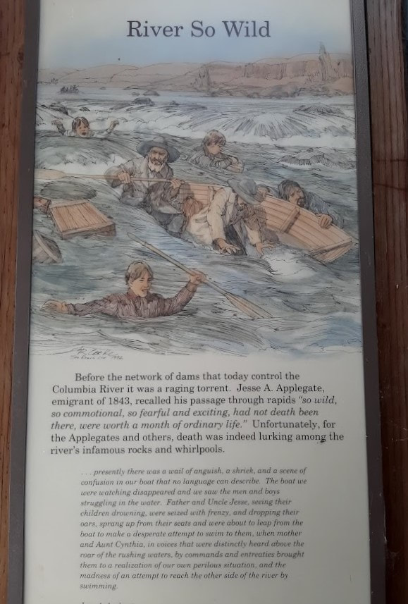
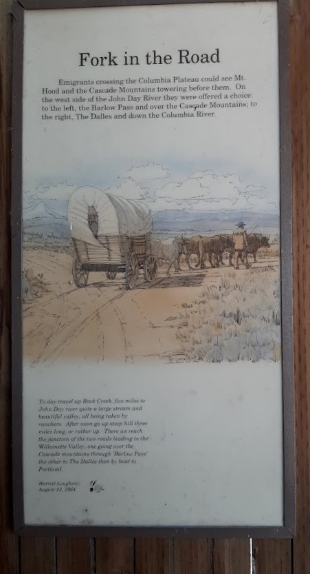
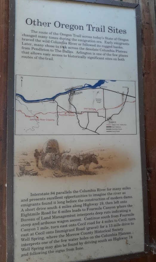
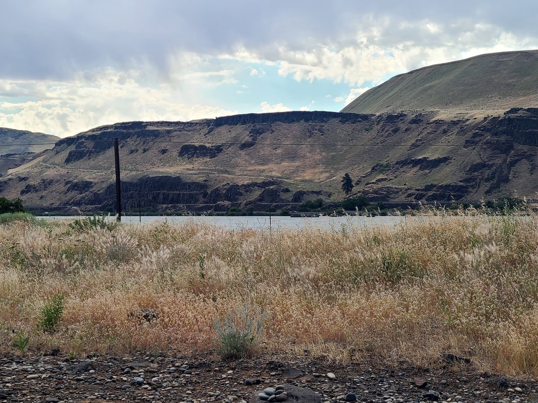
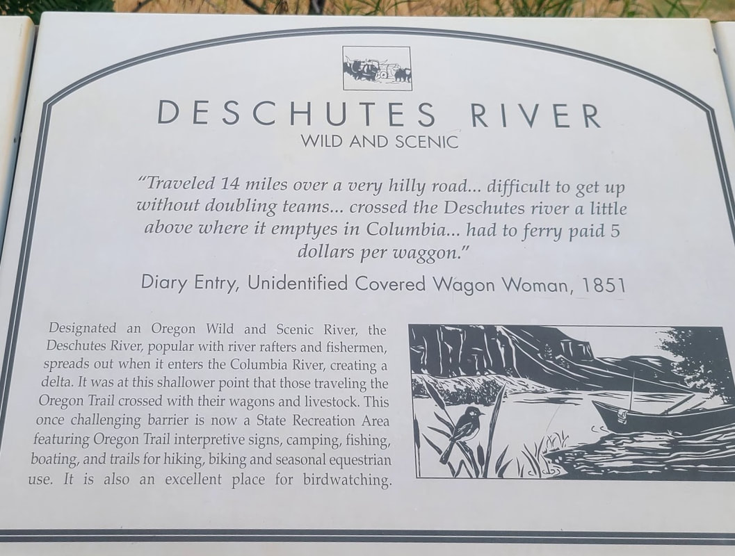
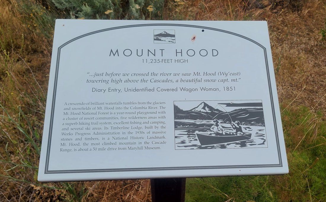
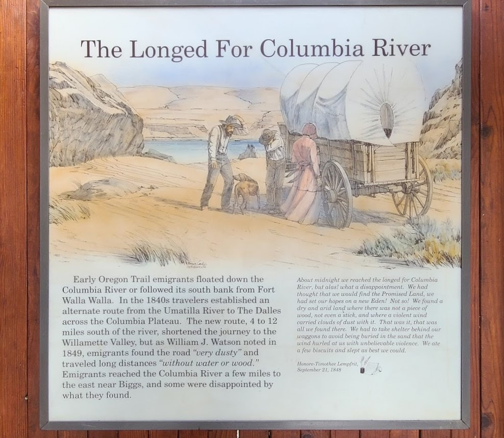
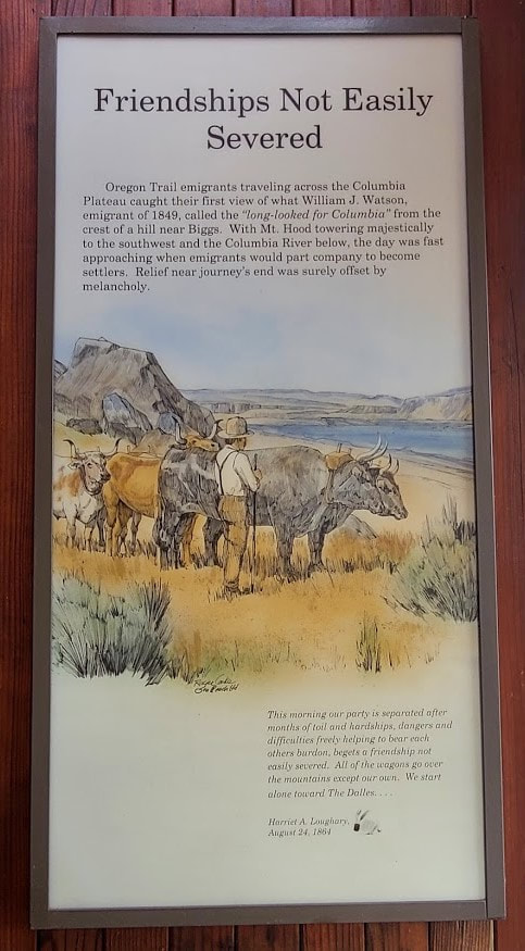
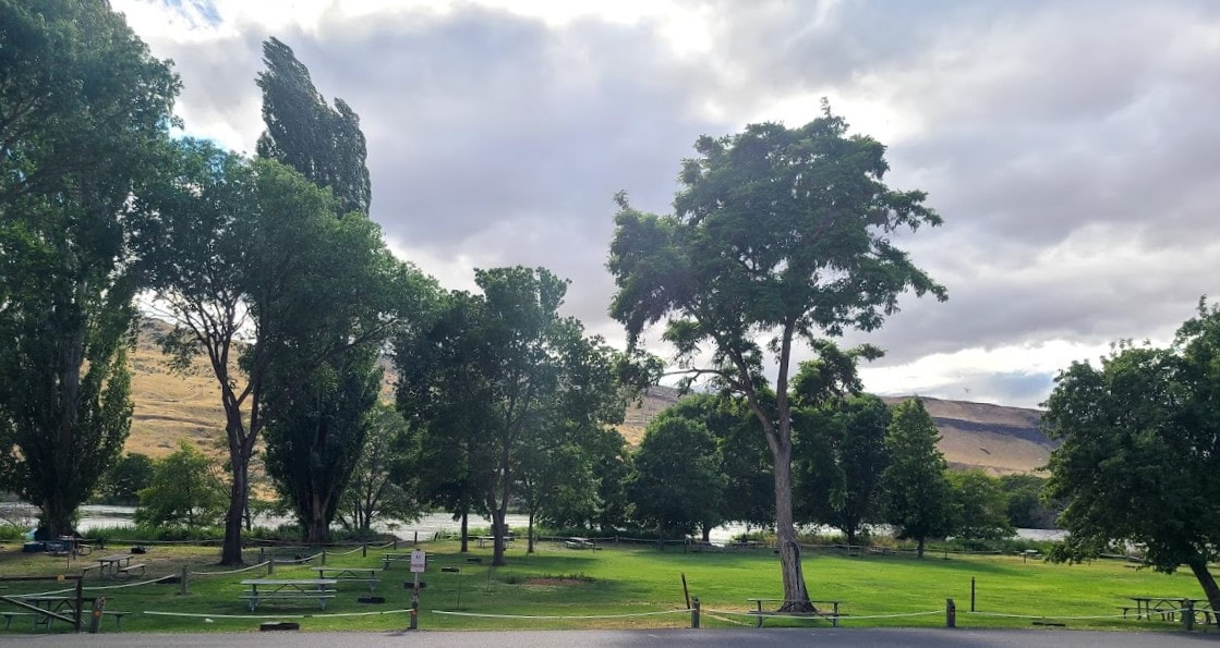
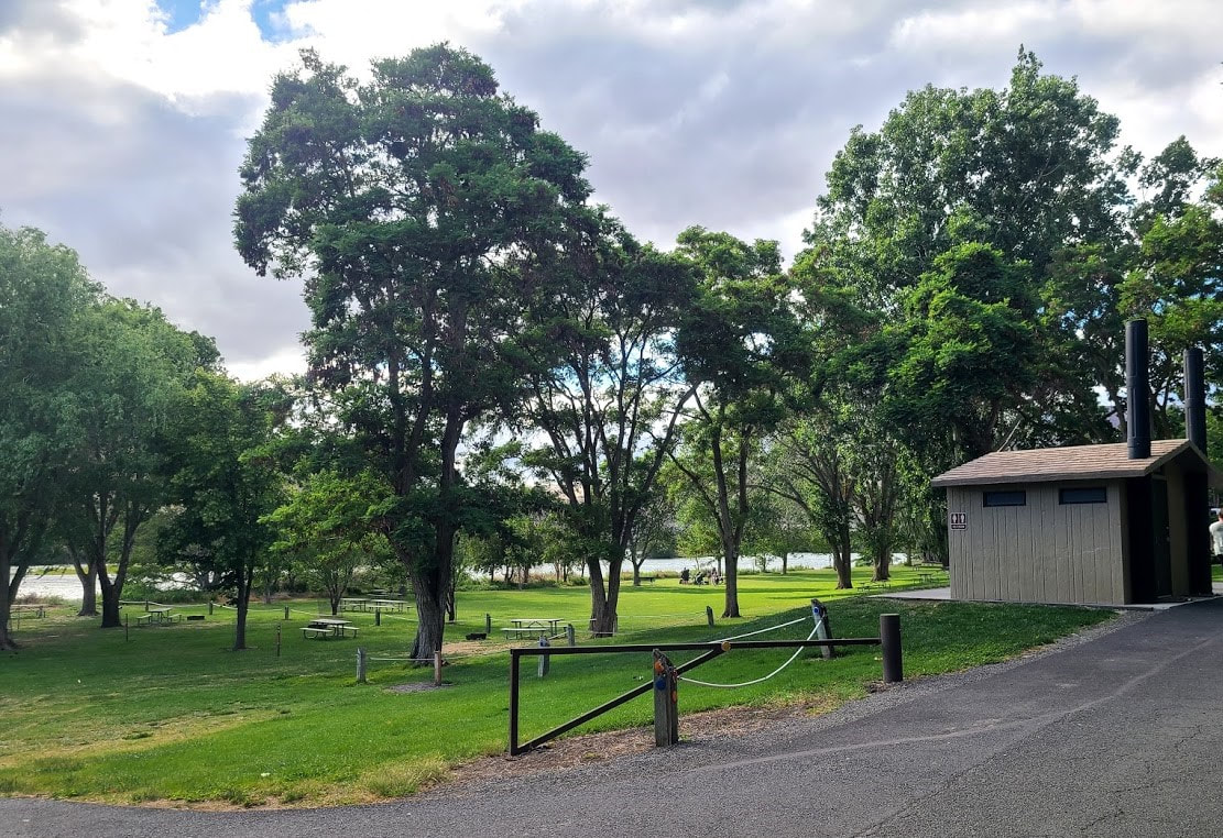
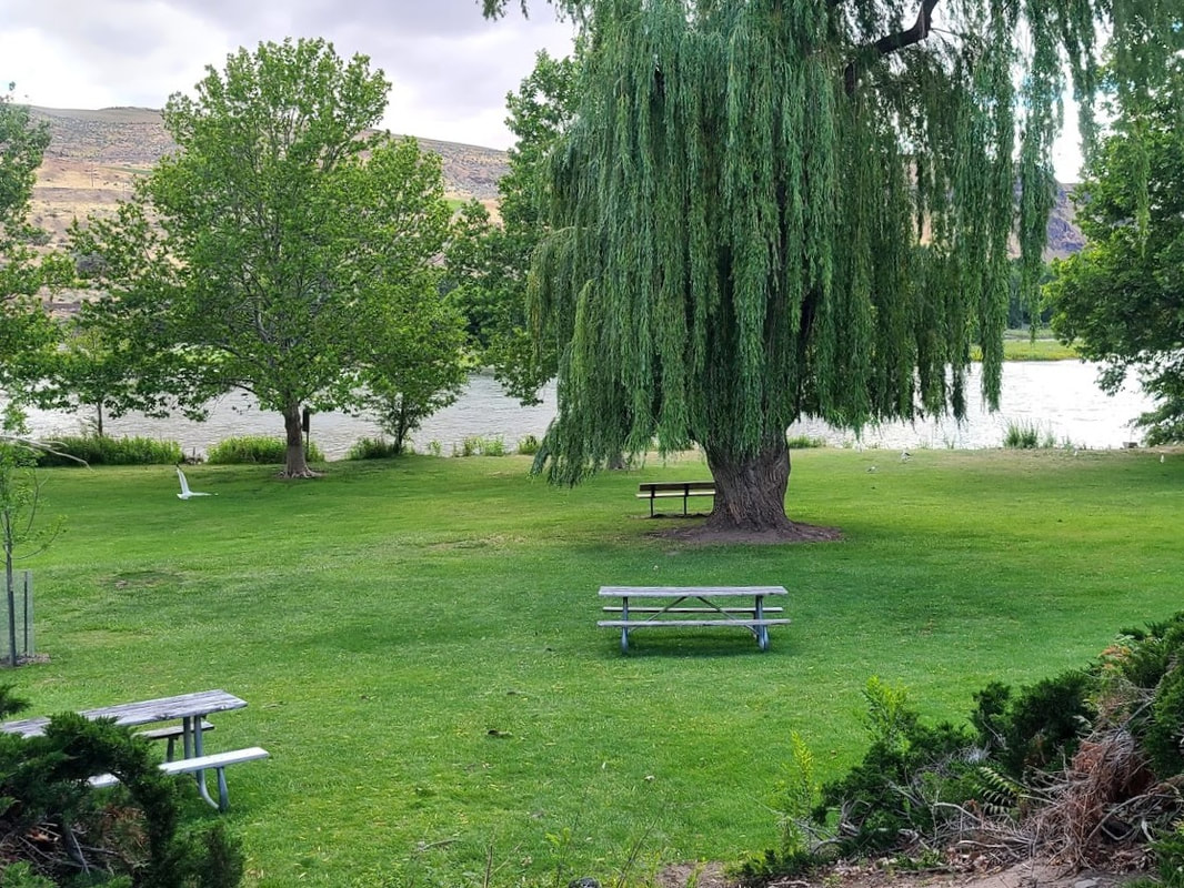
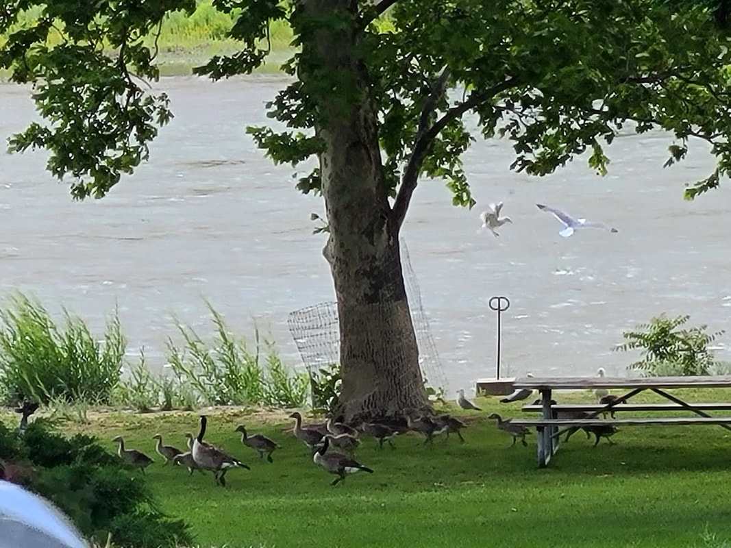
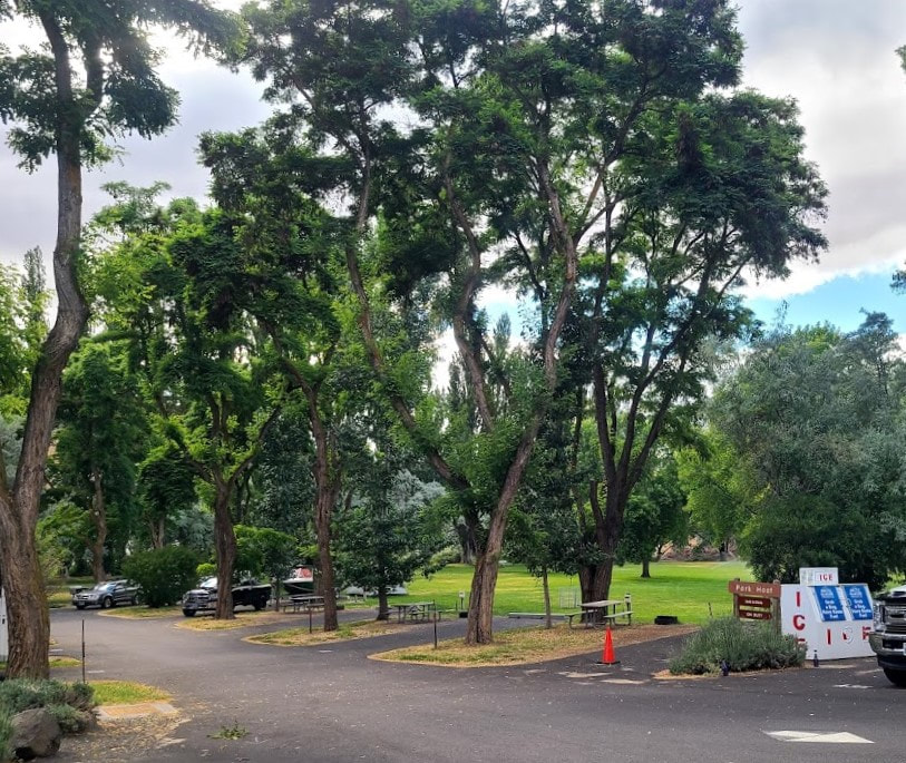
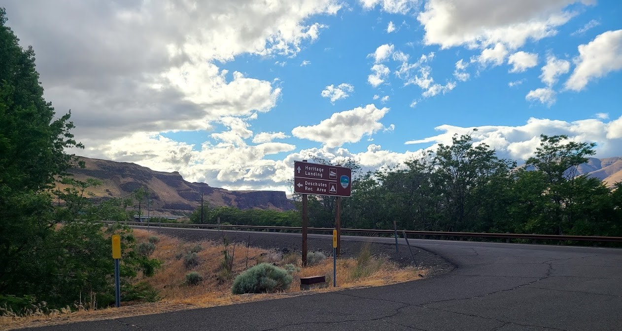
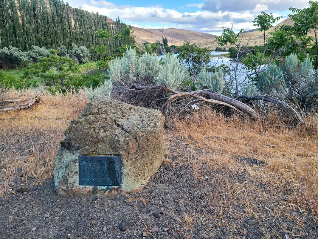
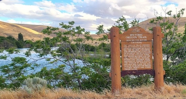
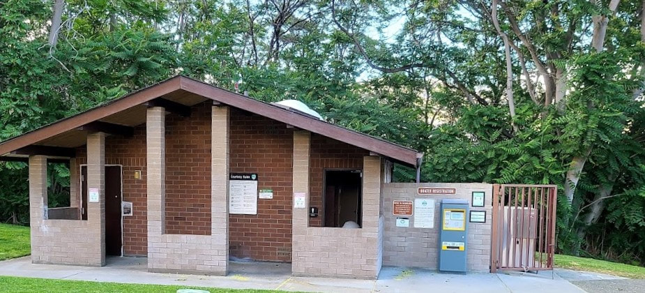
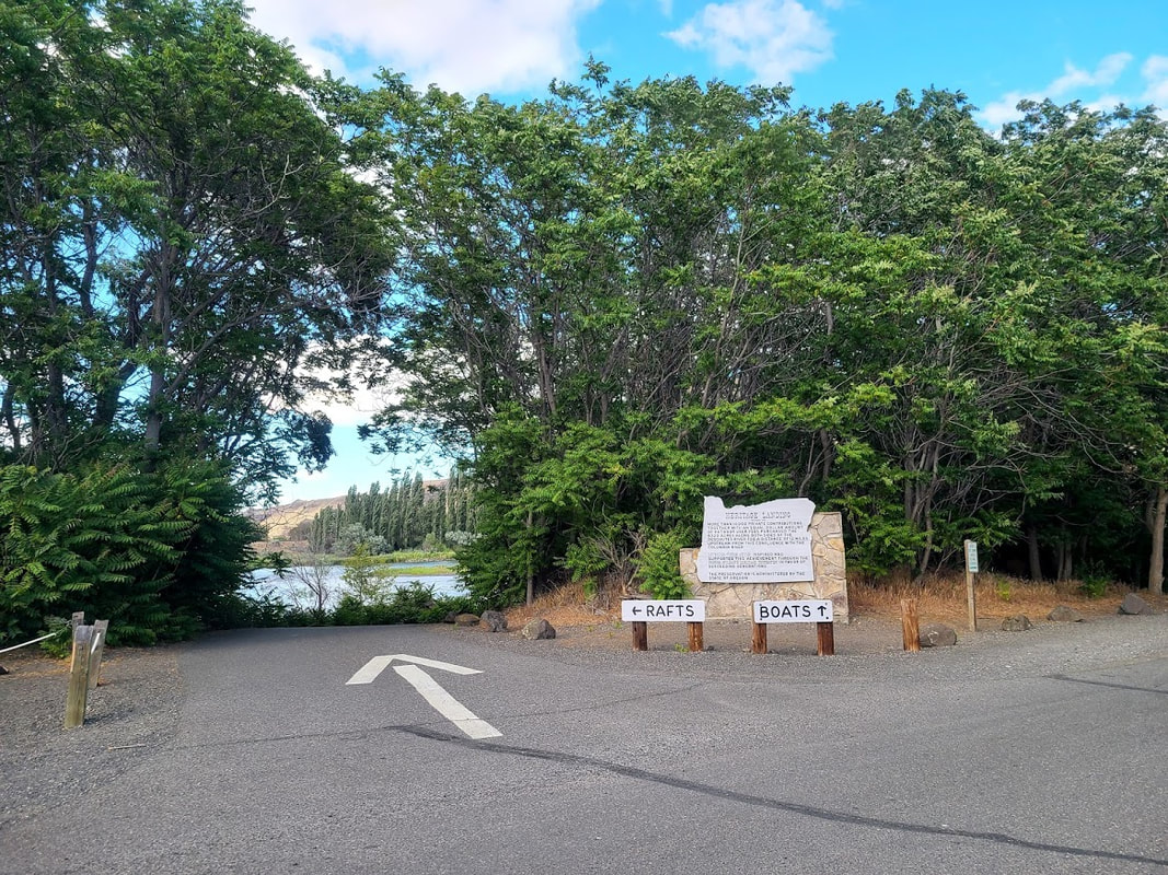
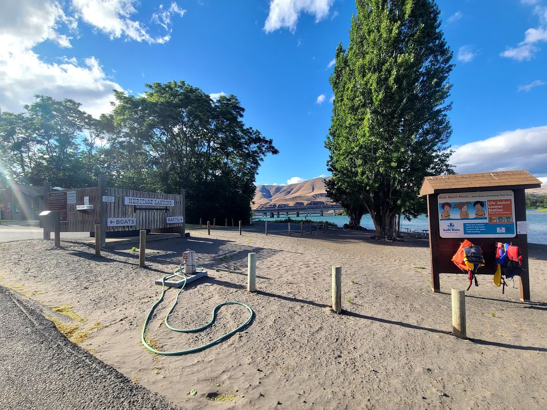
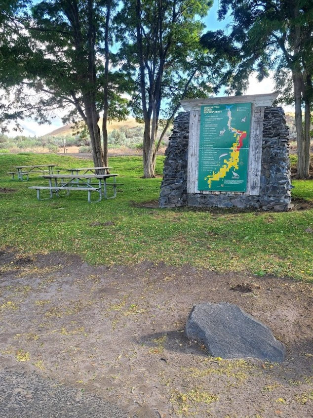
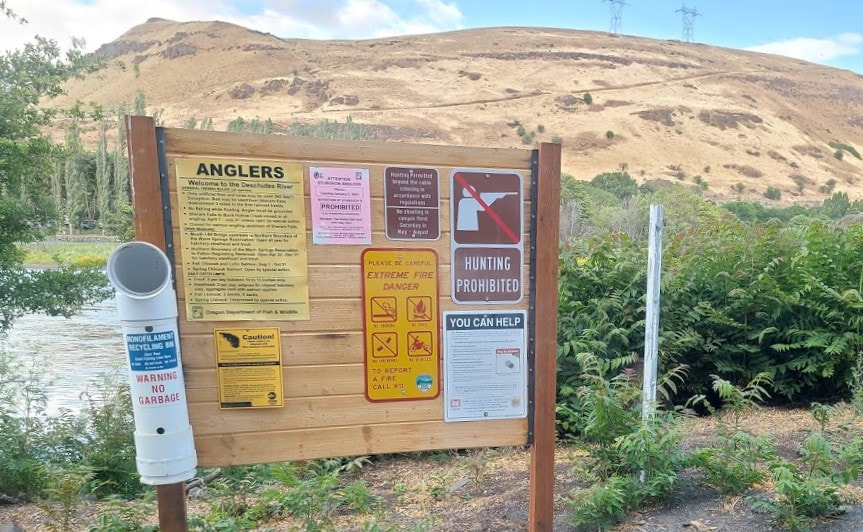
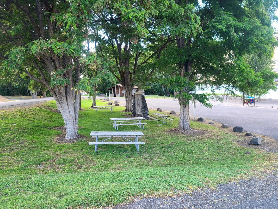
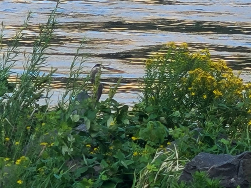
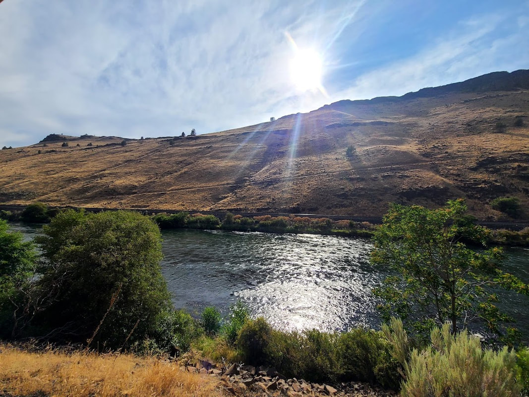
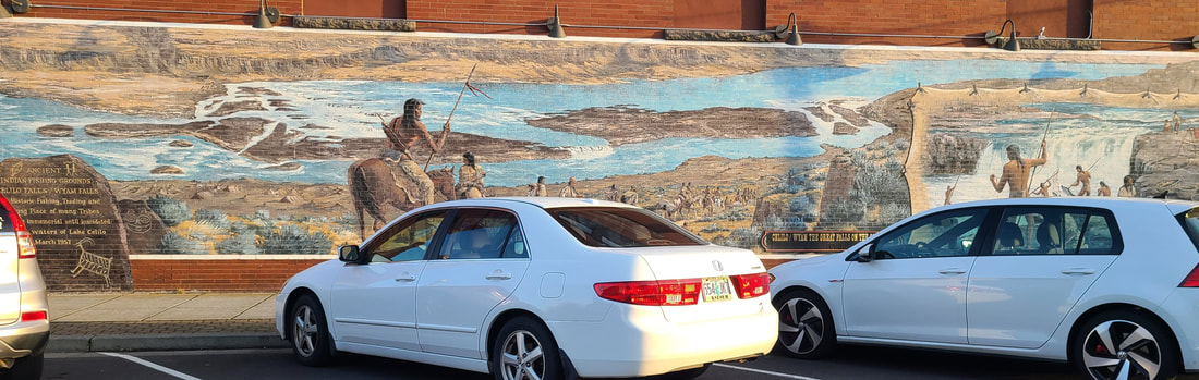
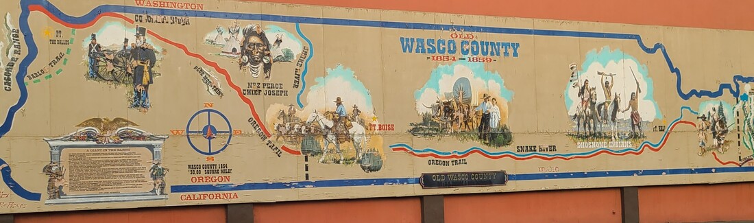
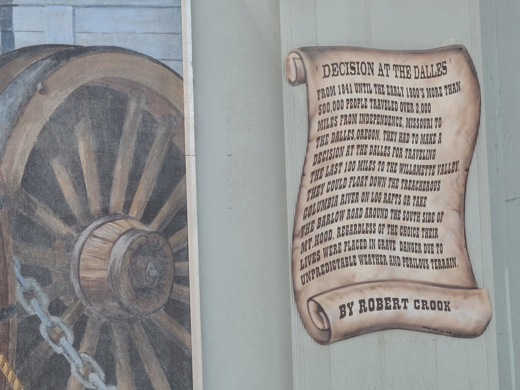
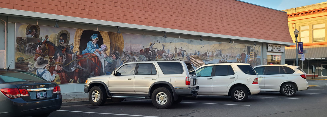
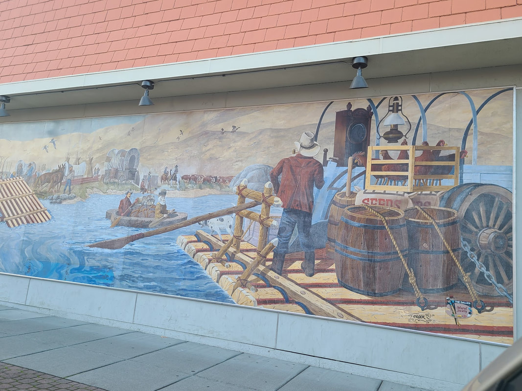
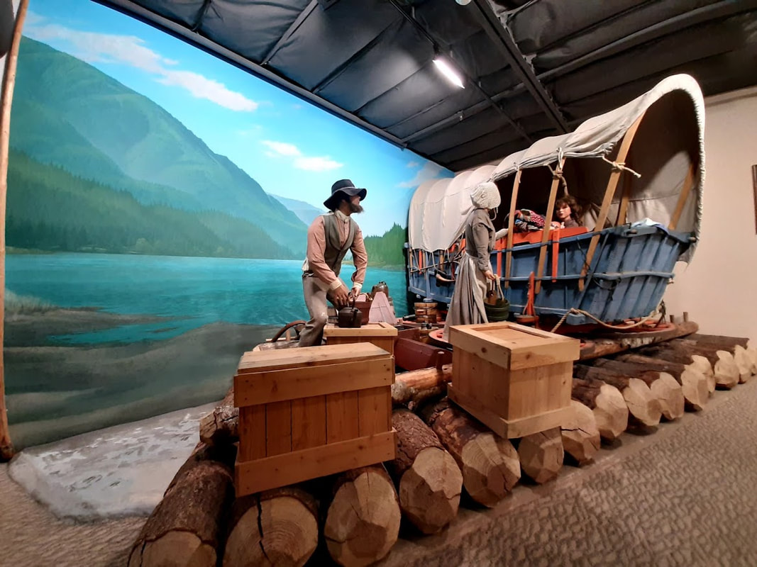
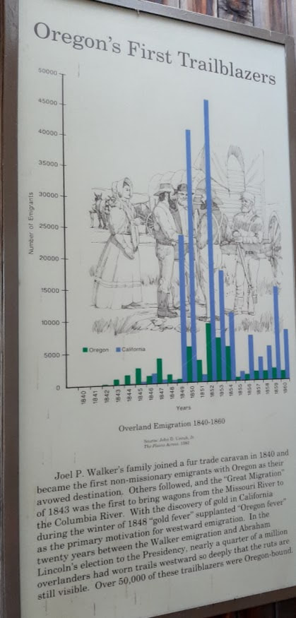
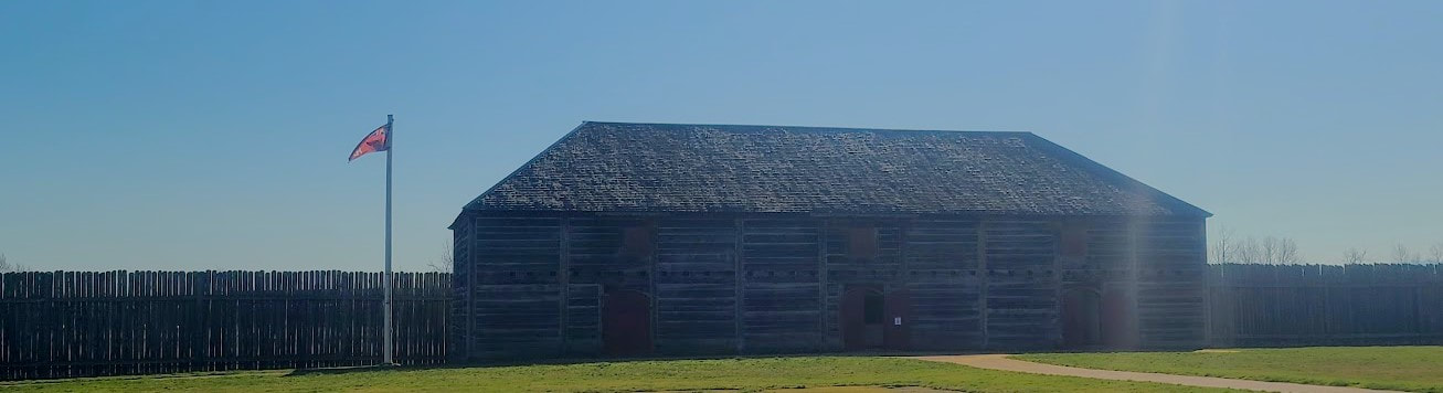
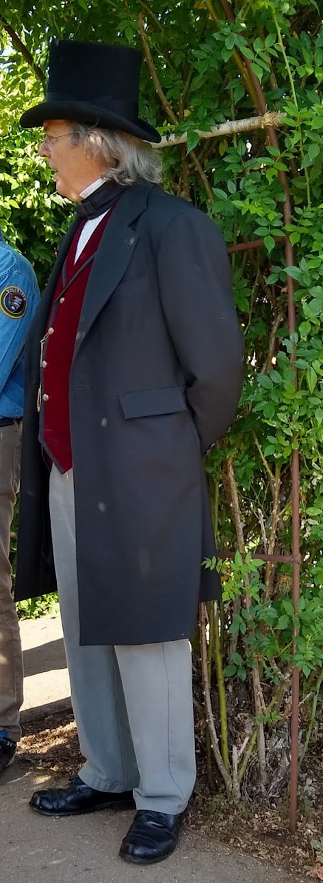
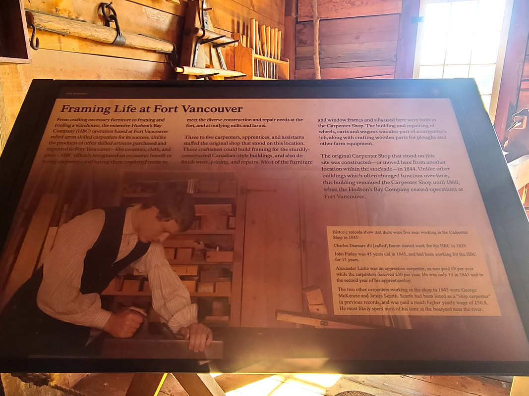
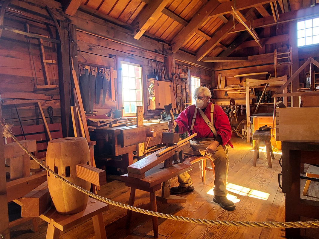
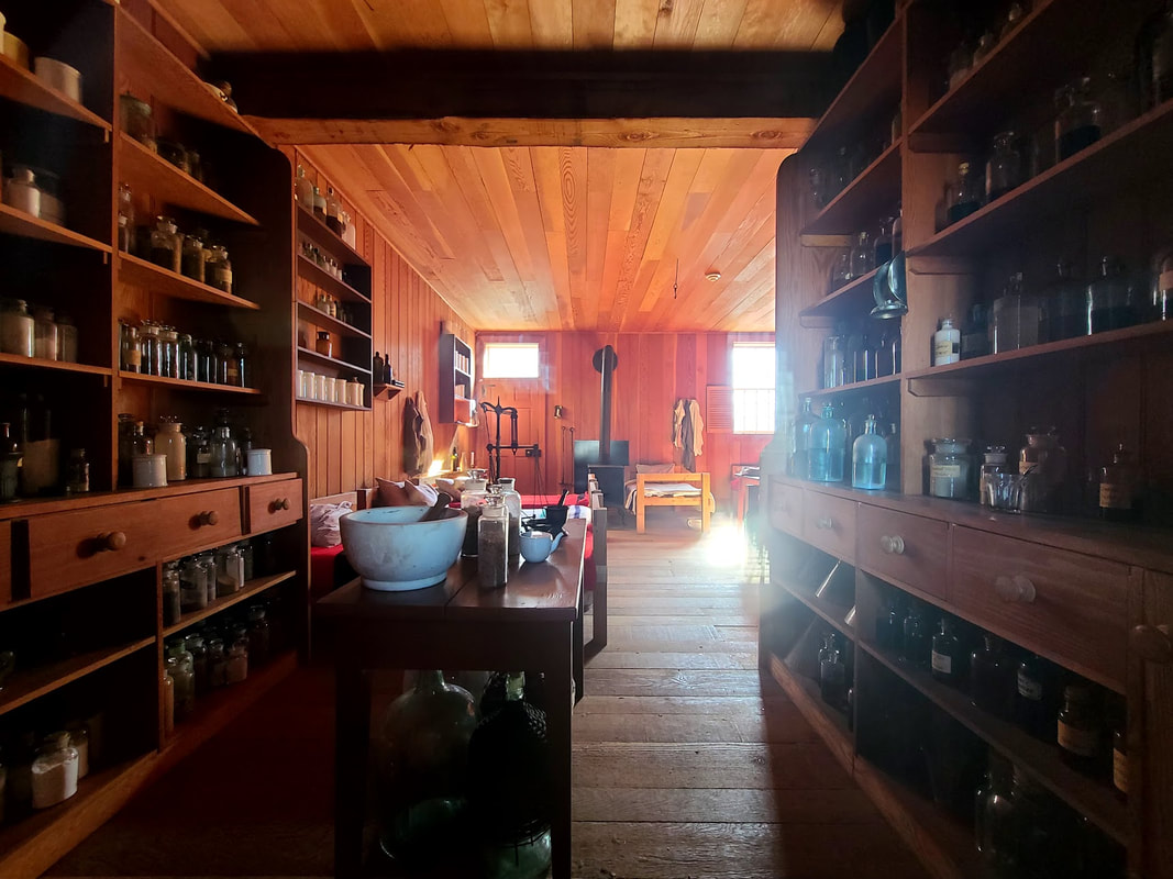
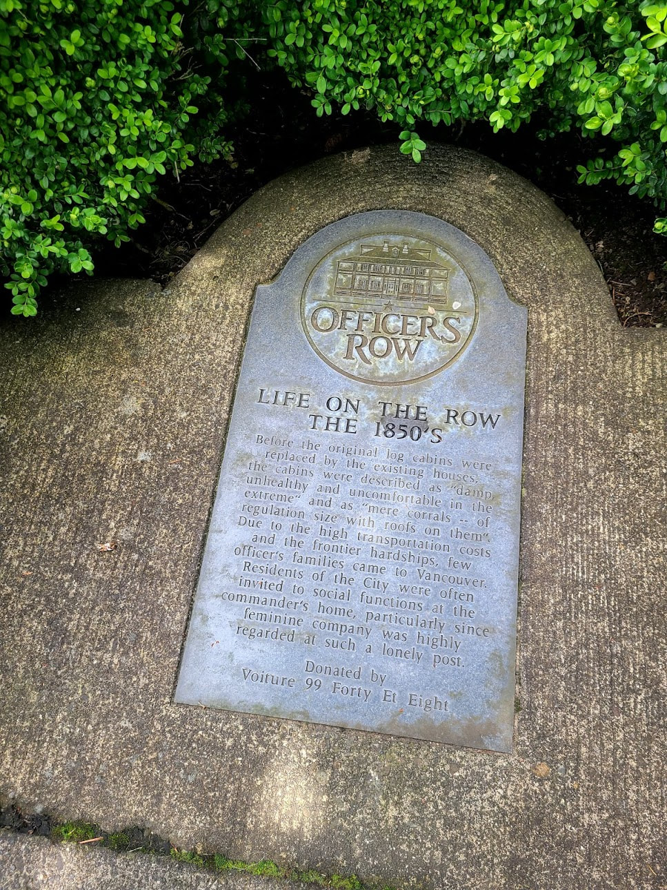
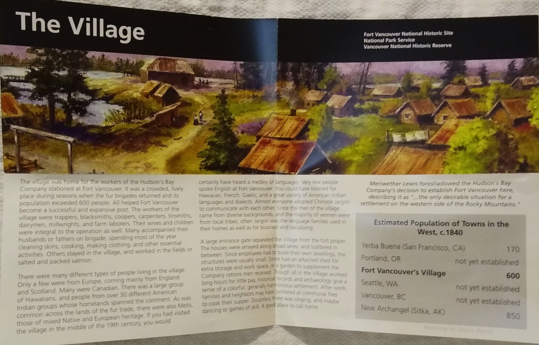
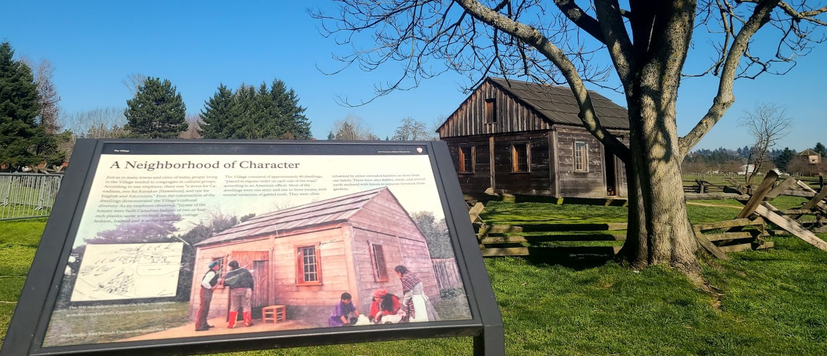
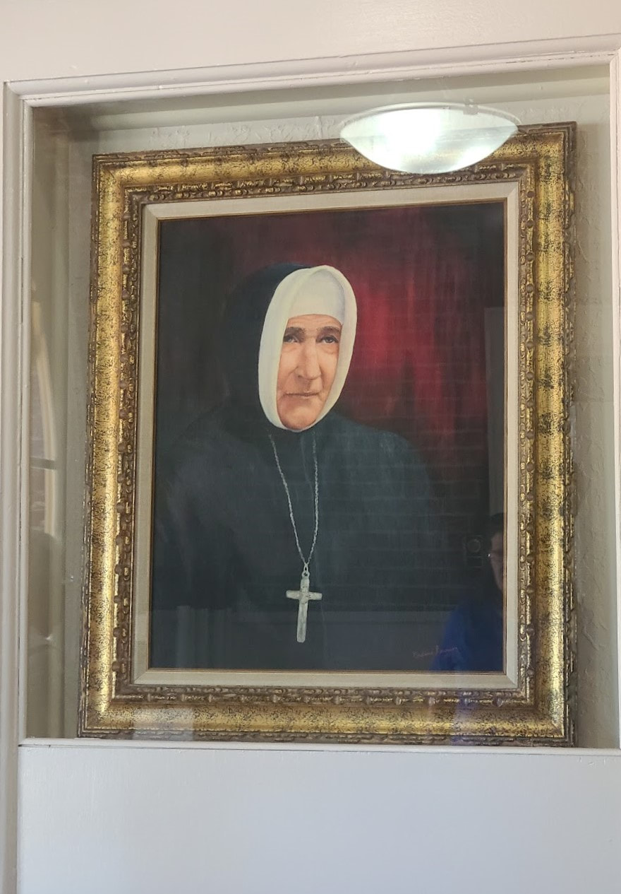
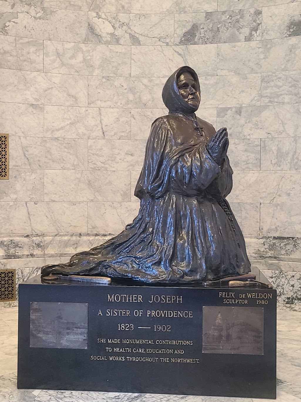
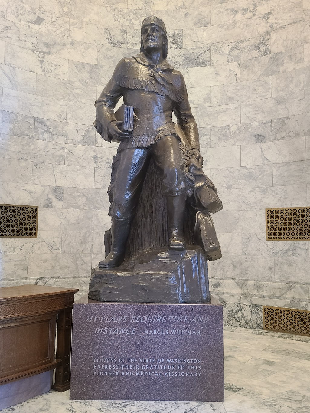
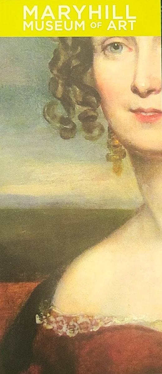
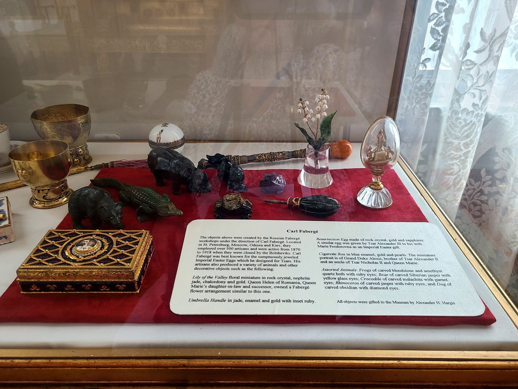
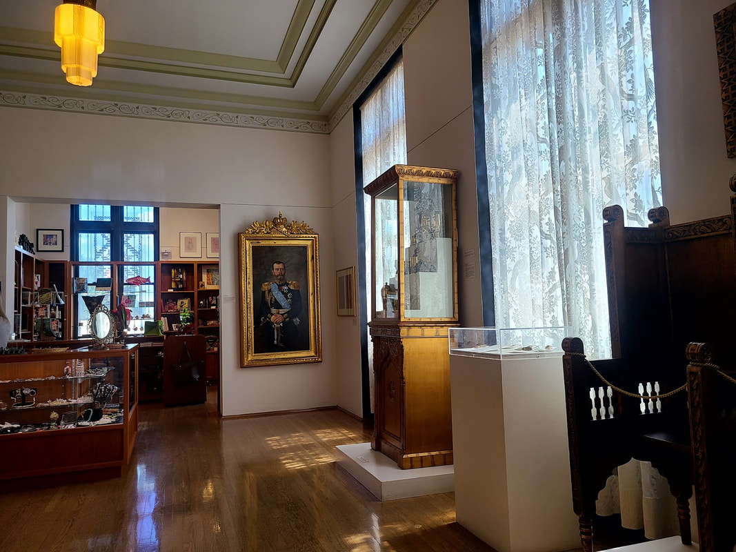
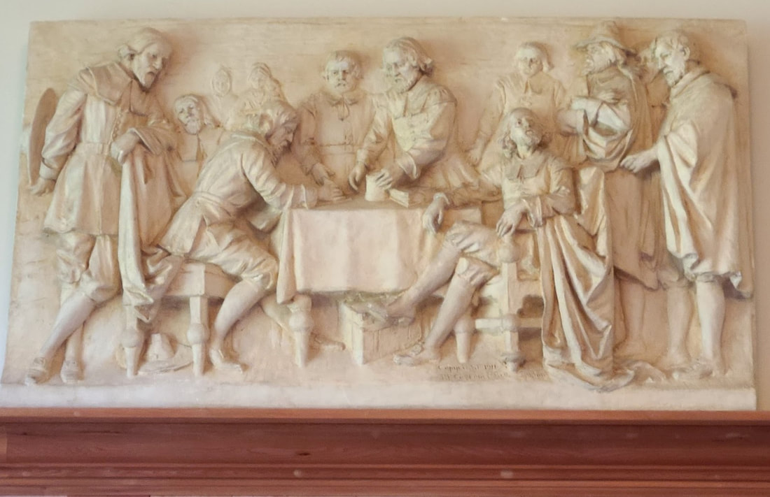
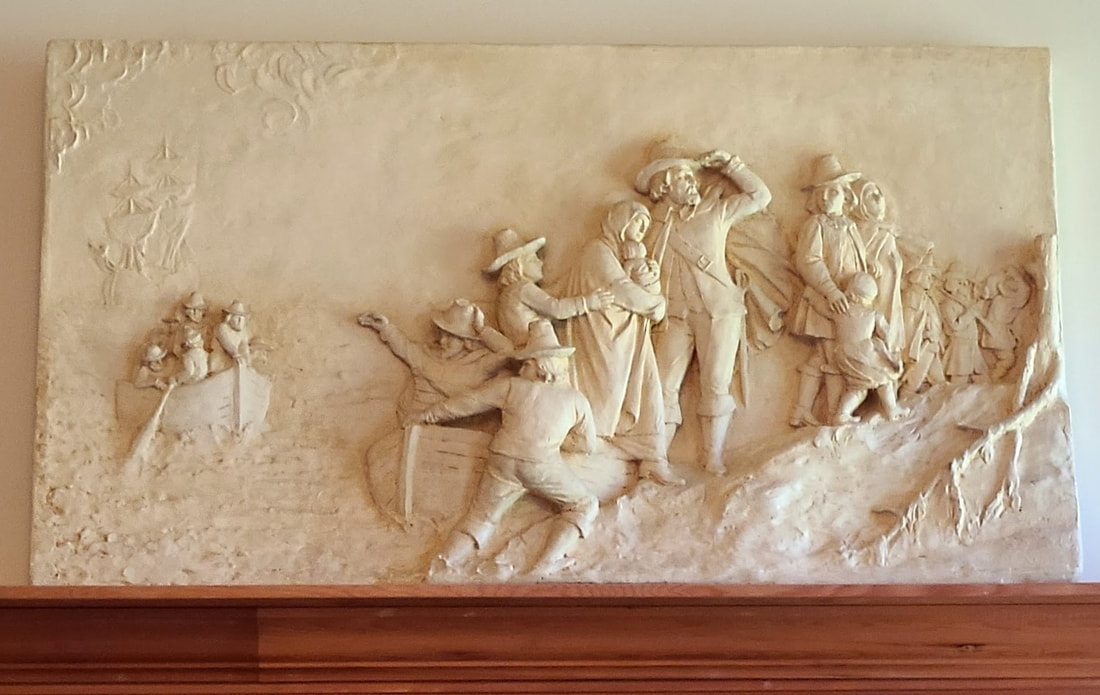
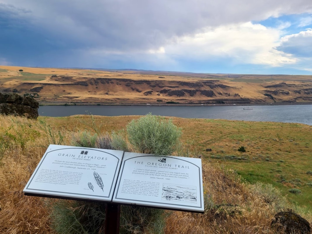
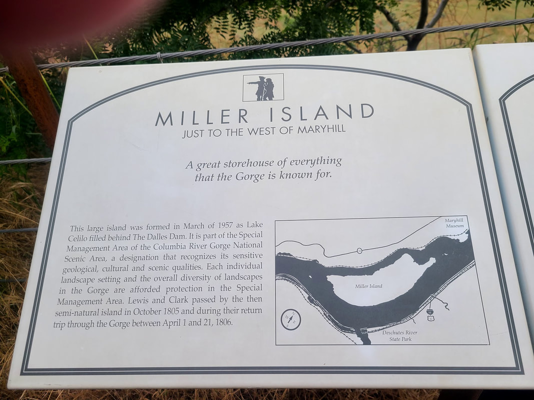
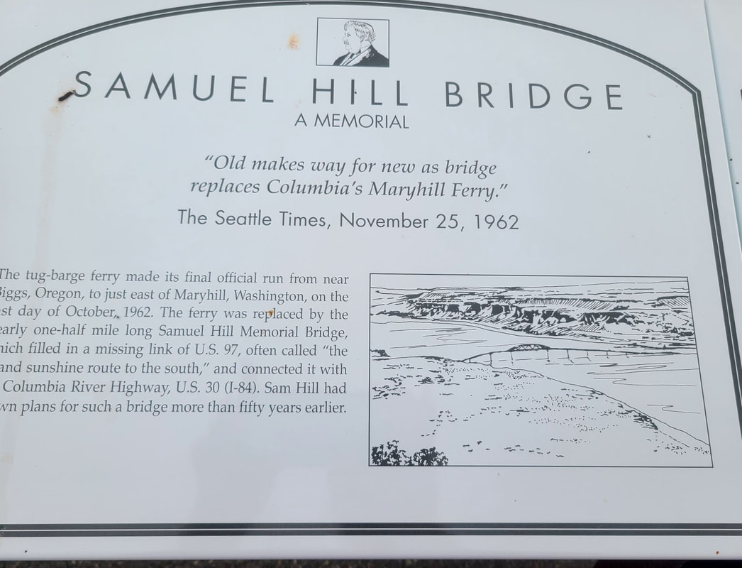
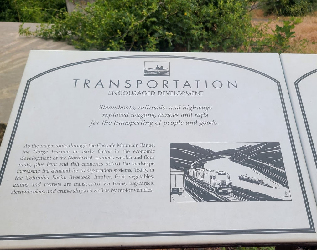
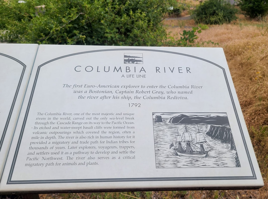
Stanfield Rest Area, 20 mi west of Pendleton on I-84 I happened to have gone to the eastbound pull-off when I stopped for photos. Here's a link to a map of Oregon Rest Areas, listed by route, with amenities: Cecil OR--14 mi south on Hwy 74, from I-84 (between Arlington and Boardman) I saw the sign for an Oregon Trail site 13 mi south on Hwy 74 (not every sign is so nice about giving mileage), so on a whim I took off. I didn't know at the time that Cecil was only another mile, and might have had some kind of marker. But, I got some photos of the one 13 mi from the freeway. Arlington OR--73 mi west of Pendleton via I-84 If you and/or the kids need a nice break on the drive along the Columbia River (I-84), Arlington has a great park with lots of fun amenities. Of interest to this post is the Oregon Trail pavilion. For more info and photos of Arlington, see the beginning of the topmost post below. From Arlington you can take Hwy 19 south to get to another Old Oregon Trail site, and off 19 it looks like you can get to the Oregon Trail Fourmile Canyon Historic Site Note: more info/photos about several of the places below can also be found at Columbia Hills State Park, Maryhill Museum, & Maryhill State Park WA Across the Columbia River from the Oregon Trail are other views of the trail. For more info, see Biggs Junction OR & Deschutes River State Recreation Area Biggs Junction is mostly a travel & truck stop with appropriate services thereto. Dated 7-16-2022: EZ Trip travel plaza had Shell gas (I think), convenience store, and Subway. Pilot Trave Center had gas, convenience store, McDonalds, and Cinnabon. TA Express had Chevron, convenience store, Krispy Krunch Chicken, Pizza Hut, and Taco Bell. Dinty's Market & Deli, across from EZ Trip travel plaza, also had a motel. Circle K with 76 gas (I think) is next to Dinty's. Next to TA Express is Three Rivers Inn. All the travel centers had facilities and space for trucks/big rigs. Up the hill from EZ Trip was a truck repair. The Mini Mart was closed. Biggs Nu Vu motel looked like it wasn't open, but was being painted, so maybe it was or would be. Deschutes River State Recreation Area seems an oasis--a pleasant green place to picnic, camp, hike on the east side of the Deschutes, boat ramp on the west side of the Deschutes. Waterfowl to be seen either side. The Oregon Trail route along the Deschutes River is still visible--we saw it on the way back to Maupin OR after our river rafting ride . . . below is the link to that adventure: The Dalles OR--126 mi west of Pendleton via I-84 The Dalles has a series of murals, some of which depict the Oregon Trail. On the west end of town the Columbia Gorge Discovery Center shares a building with the Wasco County Historical Museum. The former covers a wide range of historic, prehistoric, natural and human history. The latter focuses more on local history. They have a raptor program as well. The space is available as an event venue. We were very much anticipating an exciting community event in the fall a few years ago, but it was cancelled due to COVID. I hope another year we can recoup that loss! Memaloose rest area & campground, west of The Dalles OR Access is only westbound. If traveling east, take exit 76 and travel west on I-84 for 3 mi. There are picnic tables, including at least a couple with windbreaks, right along the river, but high above it. There's an accessible picnic table right at the parking lot of the rest stop, to get to the ones along the river involves some fairly steep declines (inclines on the way back to your vehicle), so a person in a wheelchair may need a pusher or a motor. More about the campground at Hood River—about 150 mi west of Pendleton by modern roads, that is, I-84 The 4-fold flyer “End of the Oregon Trail Loop Tour” says there’s a “Dog River” (now called “Hood River”) interpretive exhibit the Hood River Info Center can give information about, and “Hood River County Historical Museum--The Oregon Trail is featured including an exhibit of covered wagon models,” in Hood River. My annotated map “The Oregon Trail: Following the route of the Oregon Trail in Oregon” also mentions Hood River. 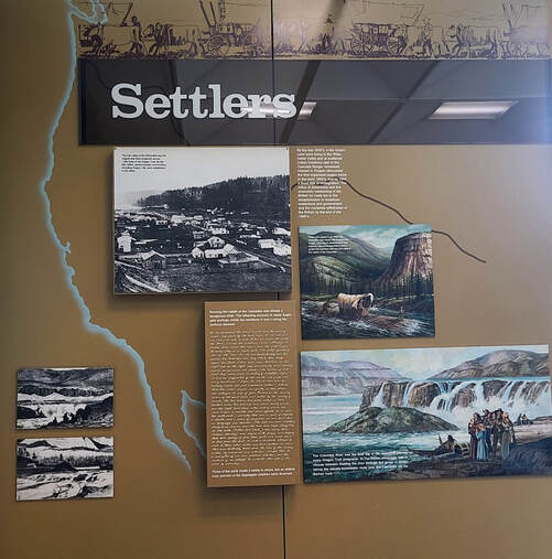 Display at Bonneville Dam, the Oregon side visitor center, Helpful info at https://www.nwp.usace.army.mil/bonneville/ Cascade Locks “End of the Oregon Trail Loop Tour” says there’s a “Cascade Wayside Exhibit –Interpretive exhibit of the treacherous voyage down river.” There’s a Historical Museum in Cascade Locks, but it’s not wheelchair accessible. “The Oregon Trail: Following the route of the Oregon Trail in Oregon” says, “Many emigrants portaged their goods around the Cascades of the Columbia. It is difficult to imagine the treacherous series of rapids and cataracts quieted today by dams.” Troutdale OR “The Oregon Trail: Following the route of the Oregon Trail in Oregon” says, "By the late 1840s, most emigrants choosing the water route moved away from the Columbia at the mouth of the Sandy River and continued overland. Two interpretive signs at the main entrance to the Columbia Gorge Factory Stores and another at the Harlow House, one of Troutdale’s oldest homes, describe Troutdale’s place on the Oregon Trail and its history as the gateway to the eastern Willamette Valley.” Fort Vancouver WA Many pioneers of the Oregon Country stopped over for supplies at Fort Vancouver on the north side of the Columbia River (goods raised or made at the fort, or shipped clear around the southern tip of South America). Remember, many had had to lighten their load and leave precious items along the trail or barter them with Native Americans or at Forts along the way. From Fort Vancouver folks could cross the Columbia River to the south and make their way to settle in the fertile Willamette Valley. For more info and photos about Fort Vancouver National Historic Site, see the link below, which I have updated to include photos from July 2023. 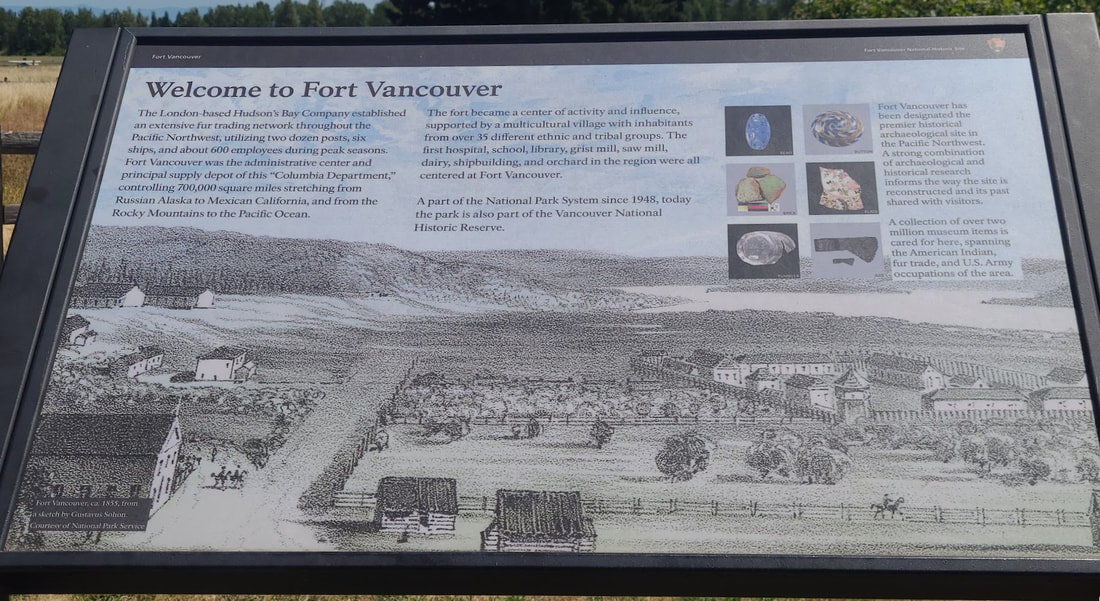 “Fort Vancouver about 1855, from a sketch by Gustavus Sohon.” Interpretive sign at the replica reconstruction of Ft Vancouver, WA Updates from summer 2023 travel Two preeminent persons of the Oregon Trail in the Pacific Northwest were John McLoughlin, Chief Factor of Ft Vancouver under British Hudson's Bay Company, and the pioneer woman of faith Mother Joseph, a contemporary of McLoughlin. John McLoughlin, Chief Factor of Ft Vancouver
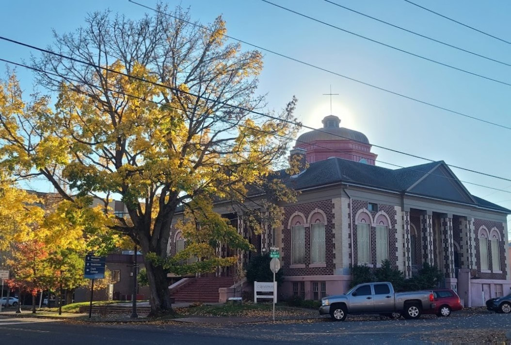
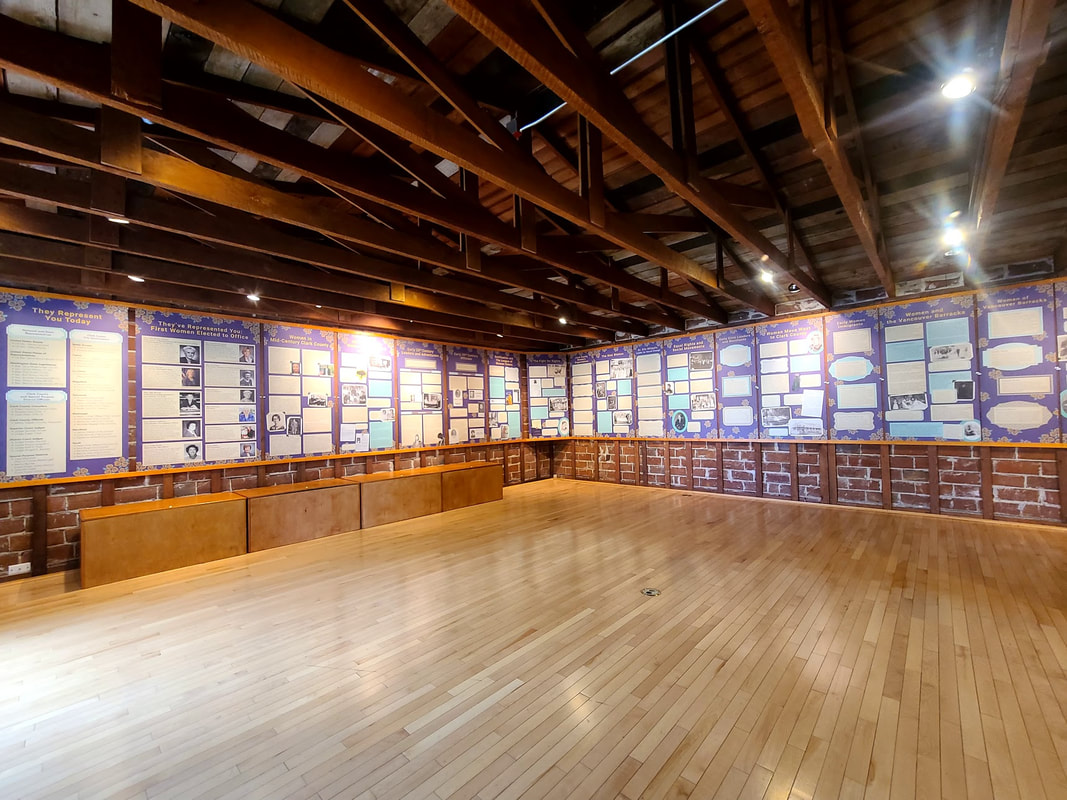
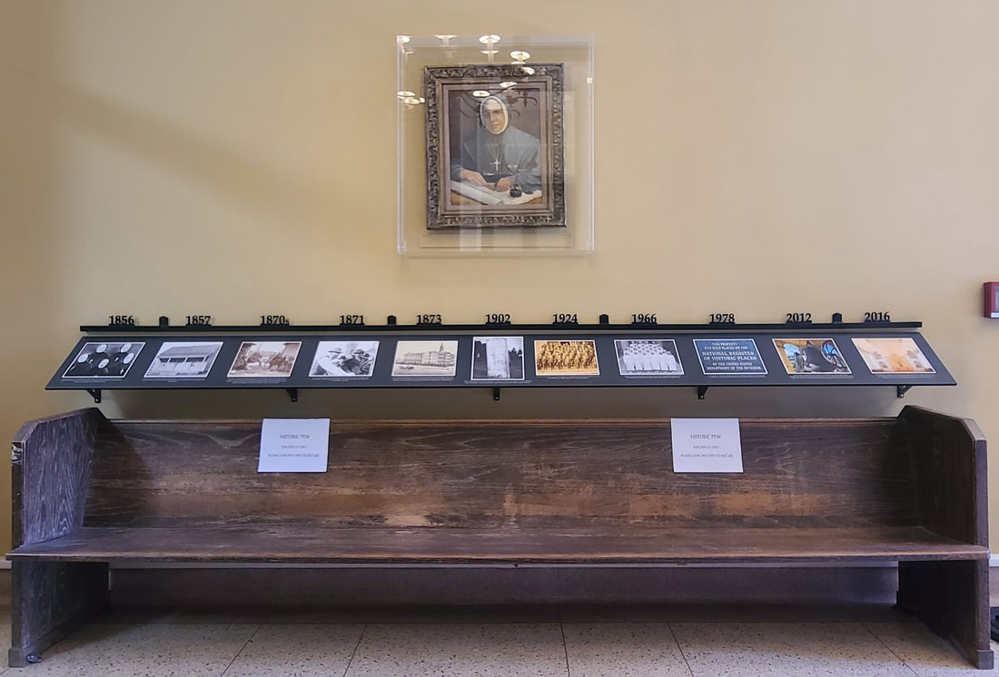
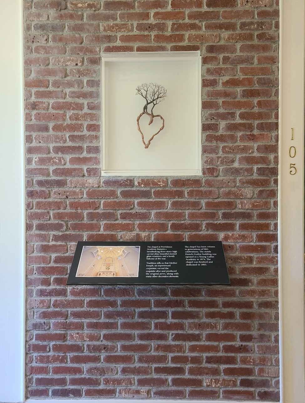
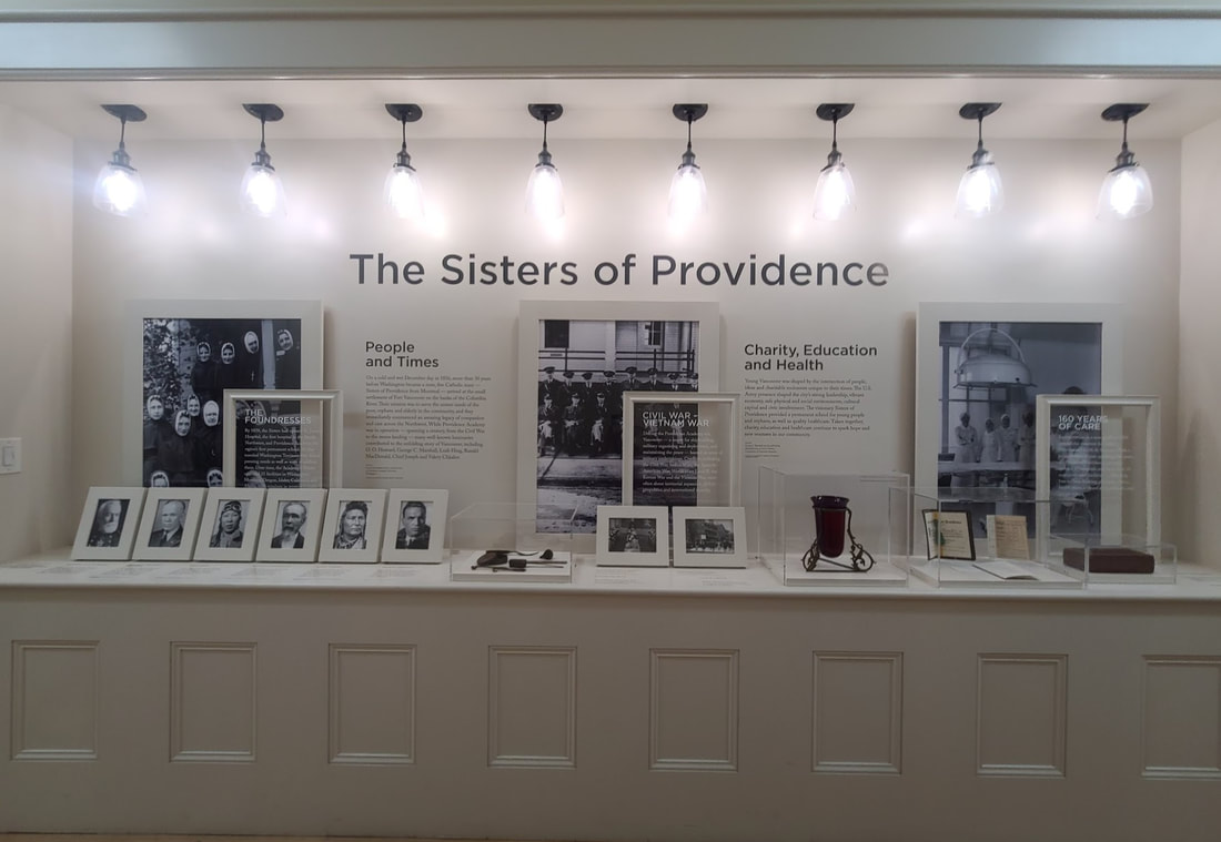
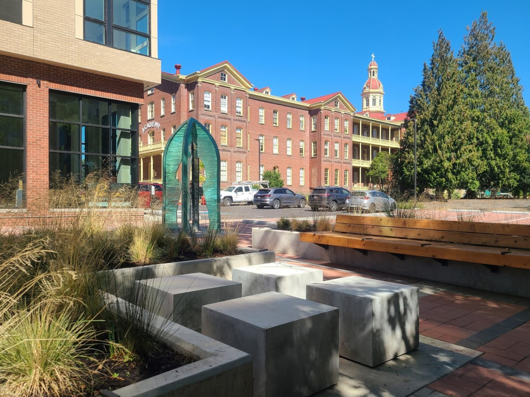
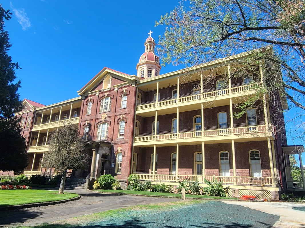
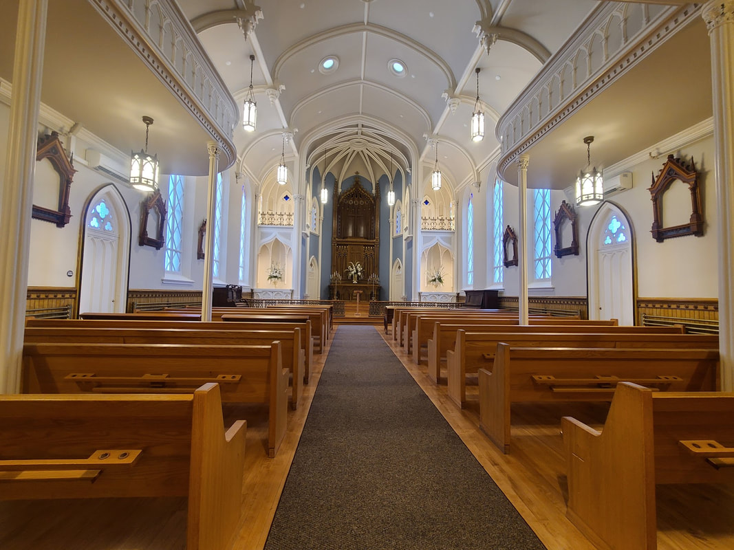
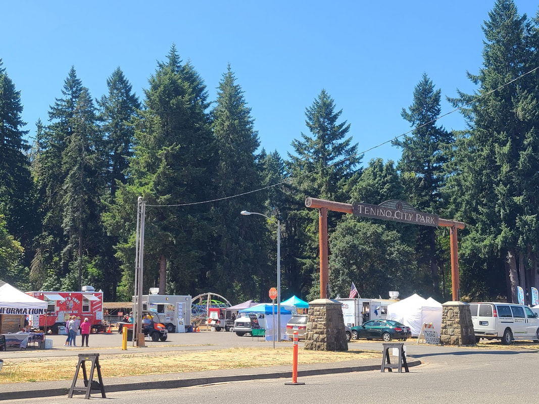
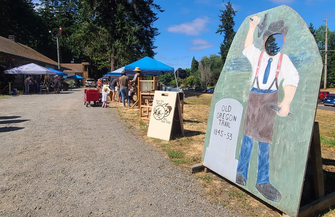
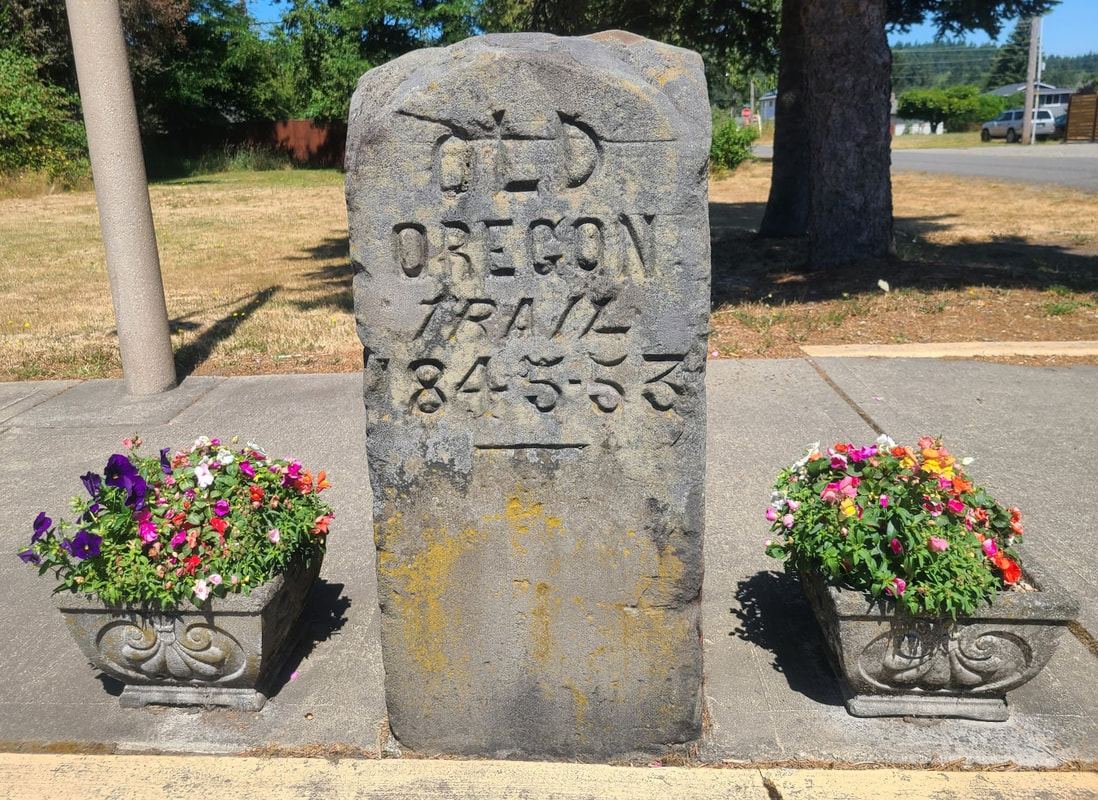
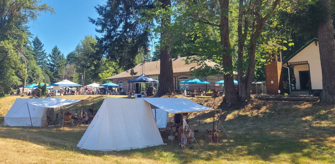
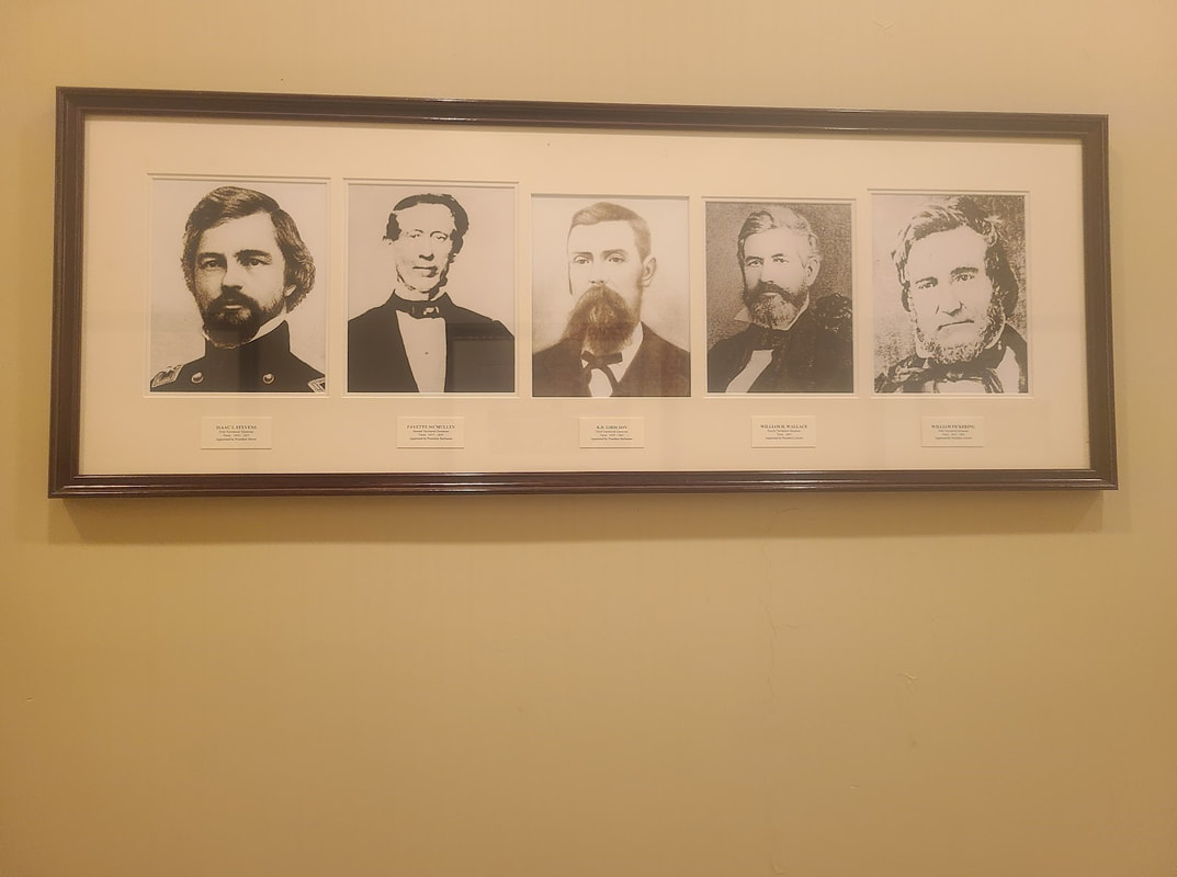
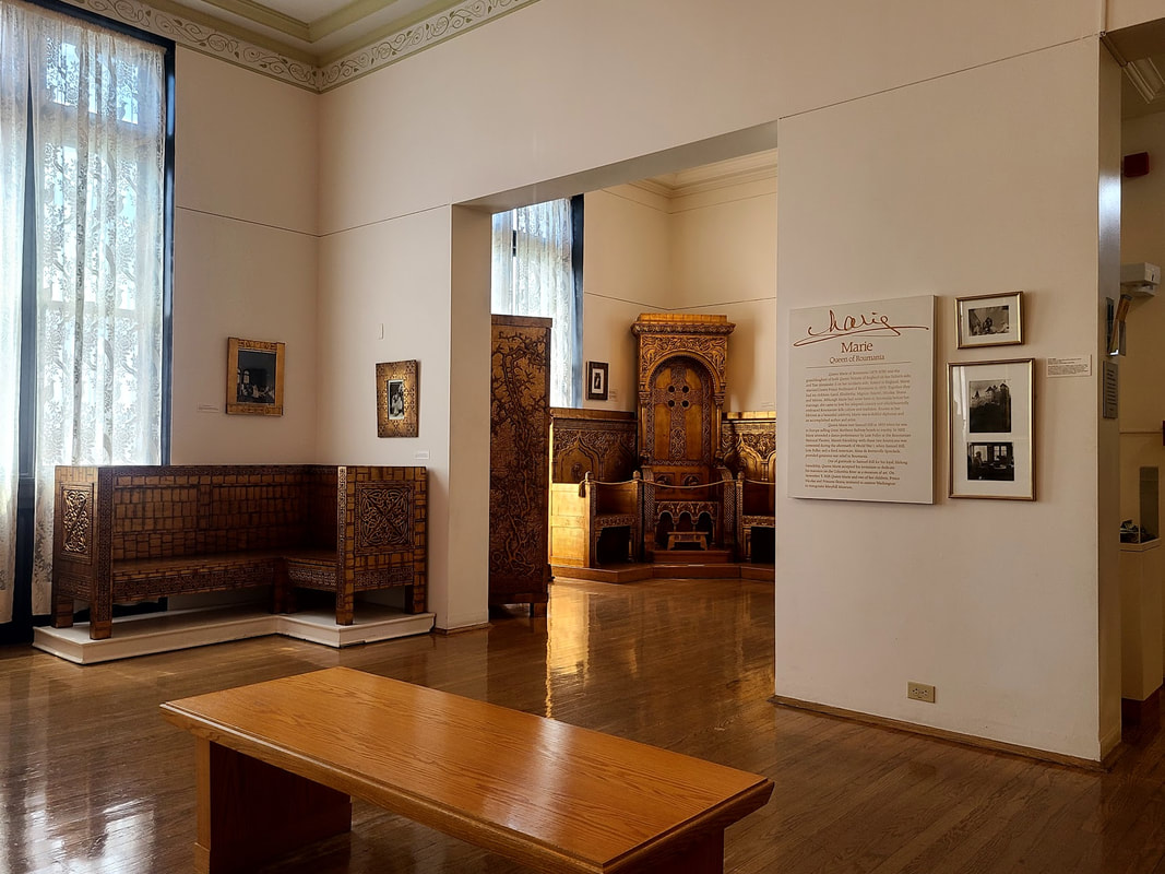
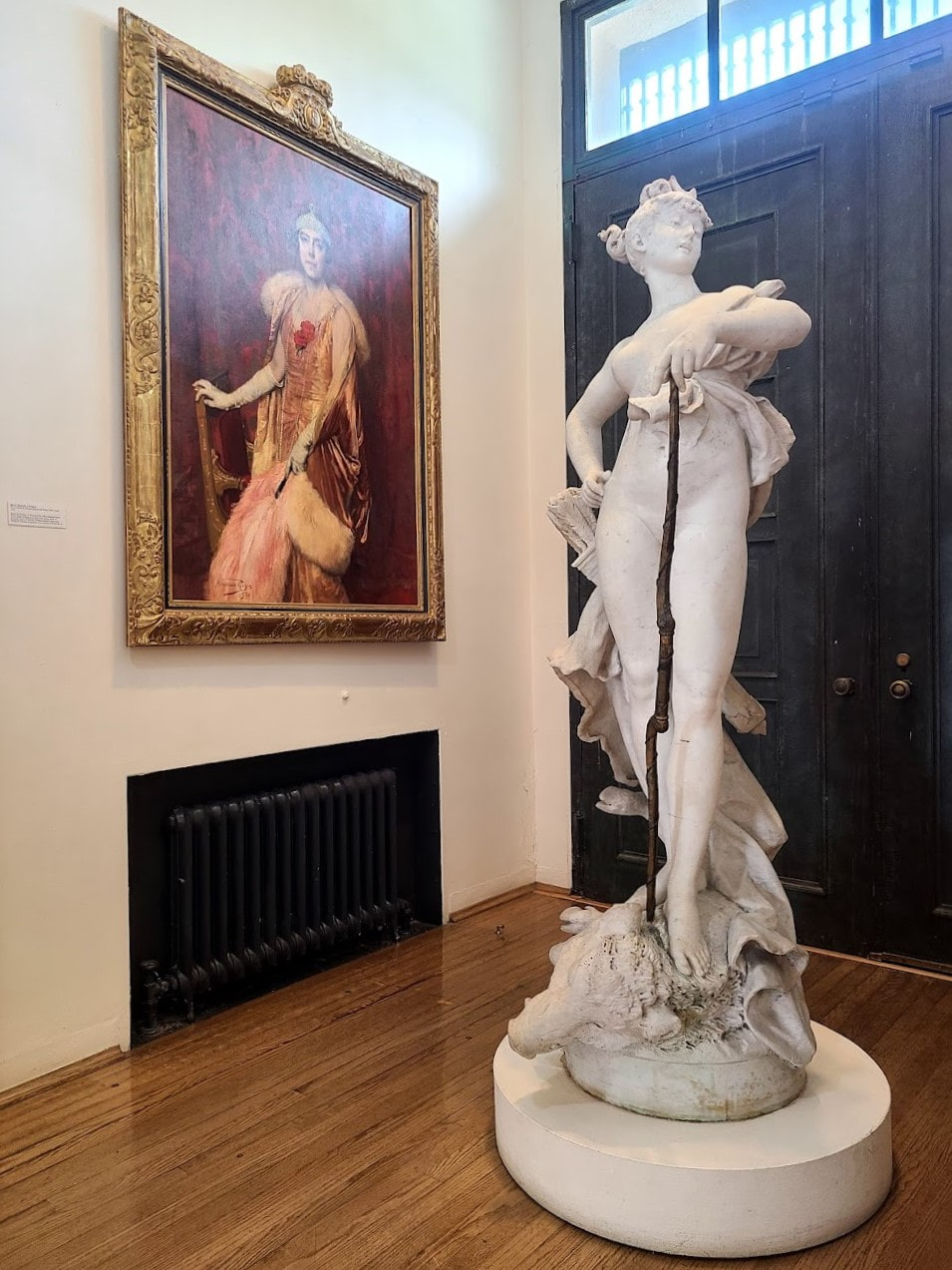
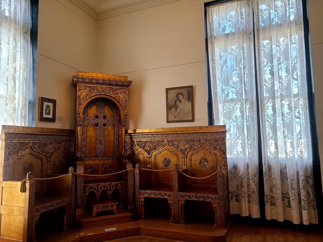
Designed, created, & developed over the years by Mother Joseph to serve many functions, The Academy is now an event venue that also houses interesting small shops. It still has the beautiful original chapel. Really interesting tours by knowledgeable volunteers available. I managed it in a wheelchair, though the old elevator was a challenging squeeze. More photos kept for an upcoming update of Vancouver WA post. From Ft Vancouver not everyone who traveled the Oregon Trail went south to settle in the Willamette Valley. Much to my surprise, not a few settled as far north as Olympia WA! Lewis County thumbnail history I was impressed by Oregon Trail Days in Tenino WA, a small town with a lot of history and heart. Lots more photos at Olympia, Tumwater, and Lacey WA I stayed in Olympia as a hub for my travel to Tenino and other places, beside Olympia itself. Here I'll only include photos that have specific relevance to the Oregon Trail. I stayed at the Red Lion Inn & Suites Governor Hotel, which has a lot of interesting historic photos. For more about Olympia, Tumwater, and Lacey, scroll down my post about the PNW Capitals.
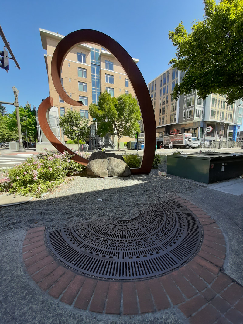
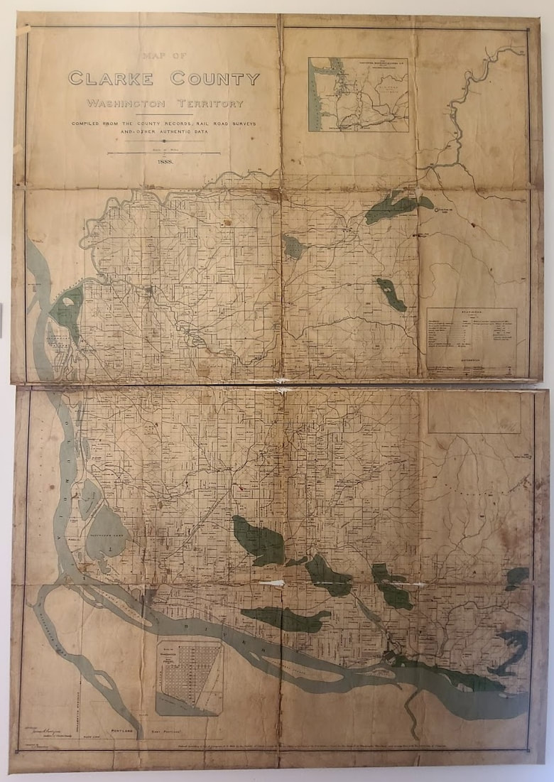
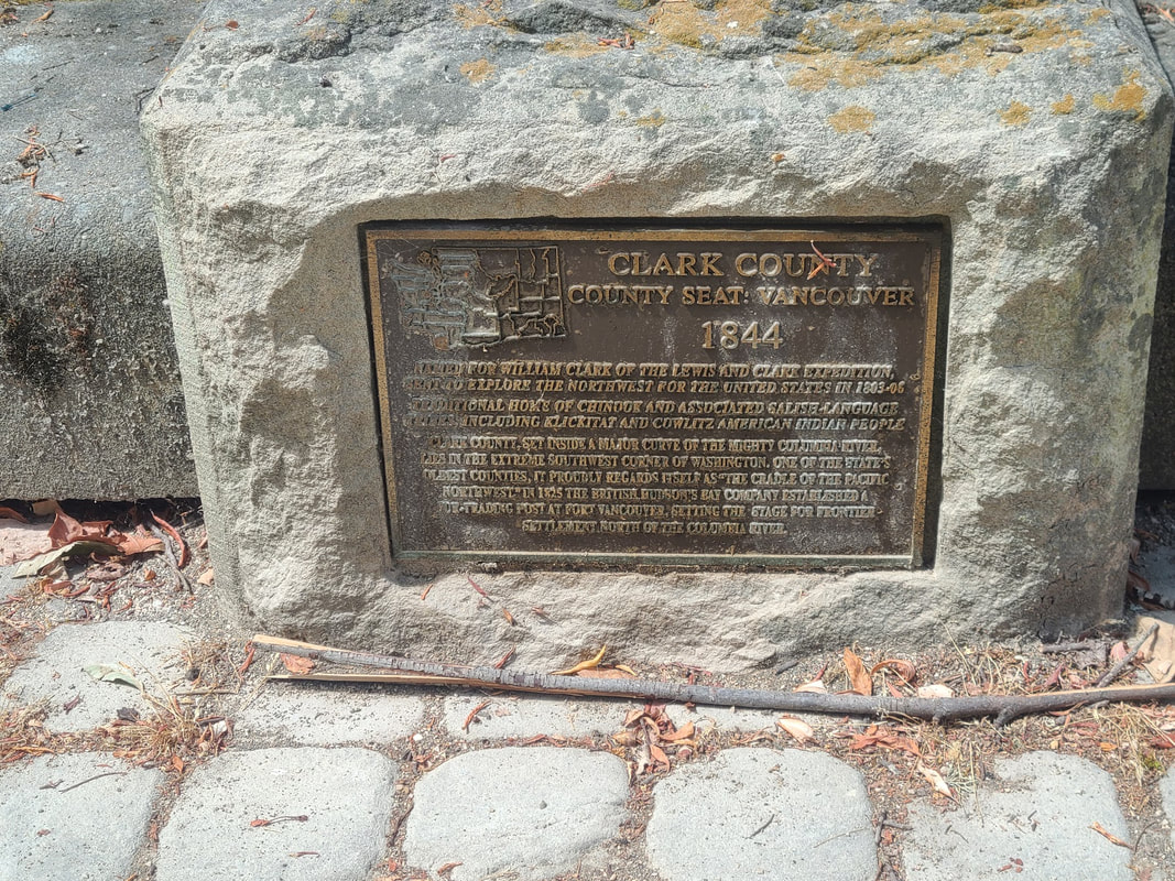
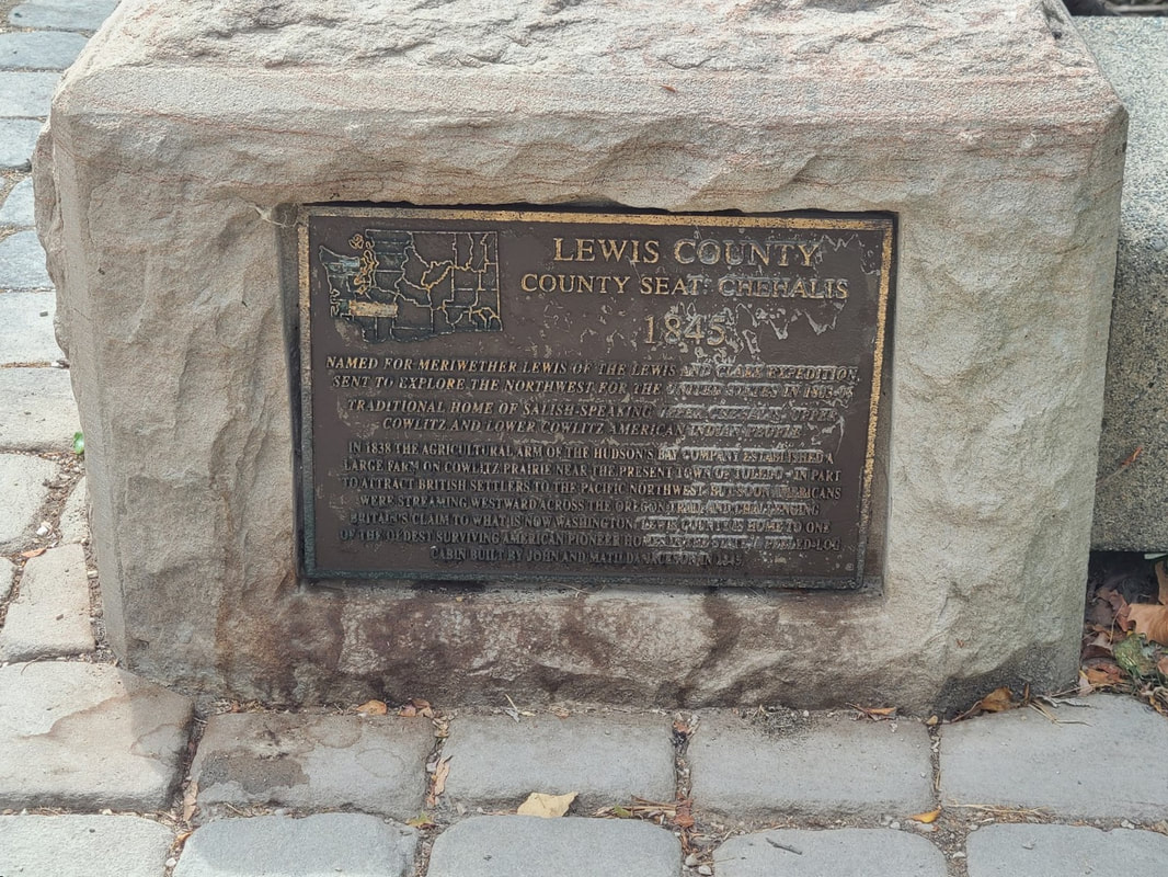
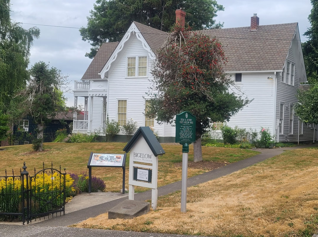
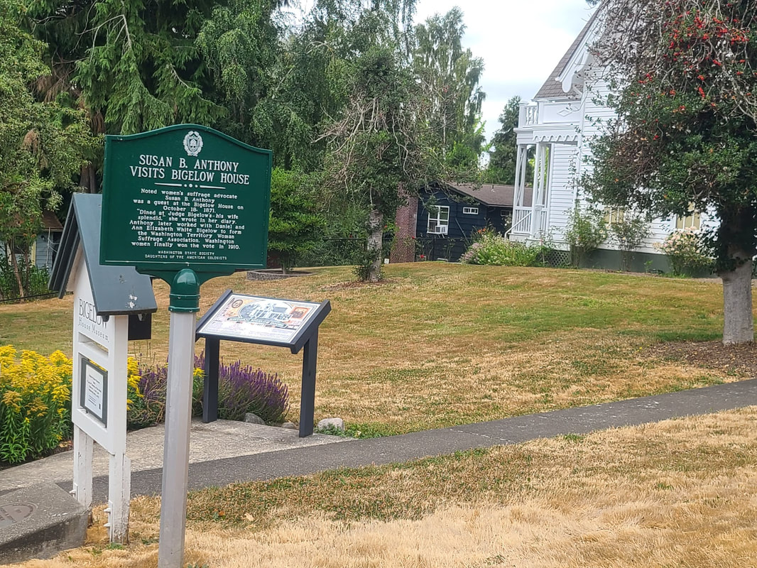
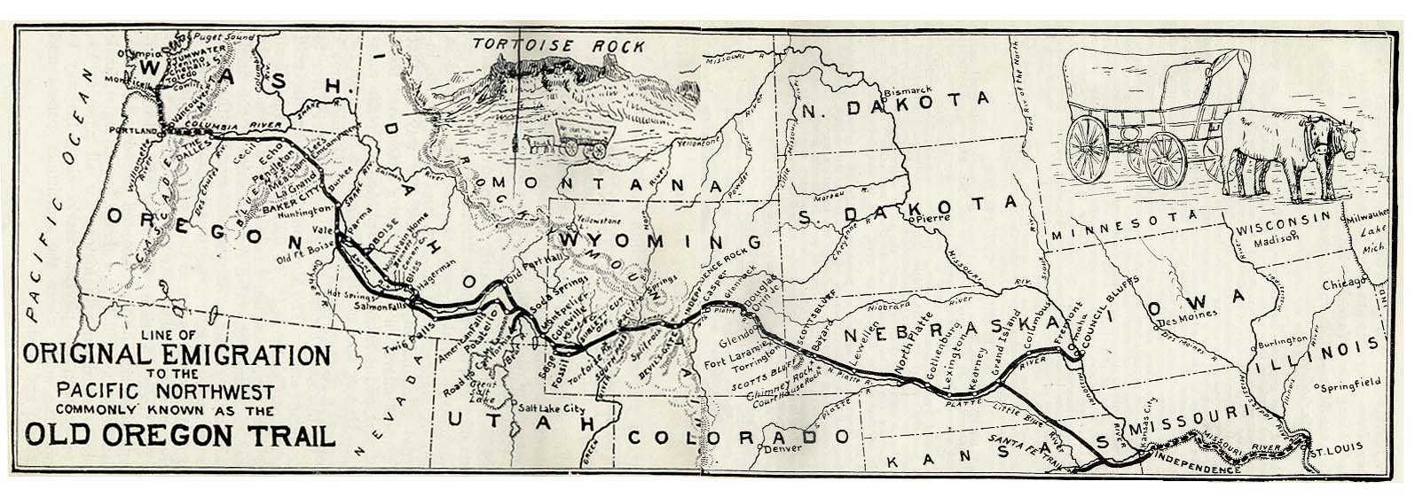 1907 vintage map of the Old Oregon Trail, showing some physical features as well as modern state lines. Washington State Capitol--416 Sid Snyder Ave SW, Olympia, WA Arc of Statehood--along Capitol Lake in Heritage Park (just north of the Capitol) The northward extension of the Oregon Trail was the Cowlitz Trail. It traveled through the present day counties of Clark (est 1844), Cowlitz (est 1854), Lewis (est 1845), and Thurston (est 1852). Naturally, the shapes and sizes of those counties evolved. The Cowlitz Trail Bigelow House—918 Glass Ave NE, Olympia WA Daniel Bigelow was one of the first settlers of Olympia, an attorney & promotor of the place. His & his wife's home here was built by 1860 at least. They also promoted women's right to vote.
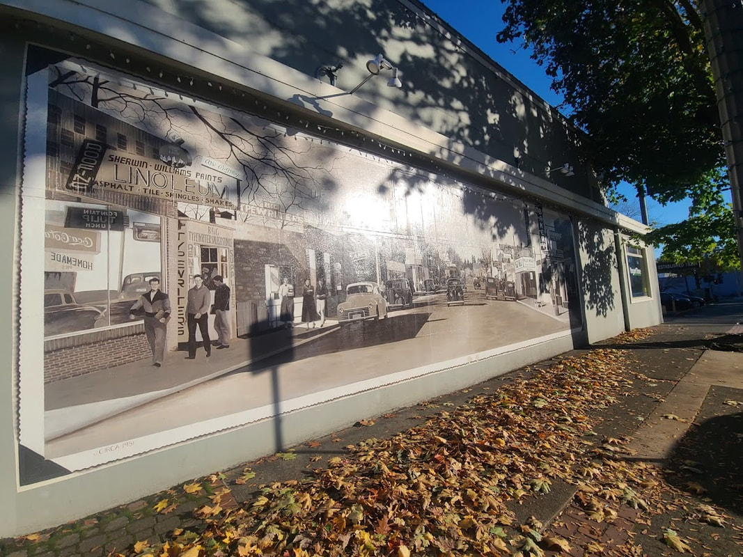
Early settlers to Olympia were the Howards. 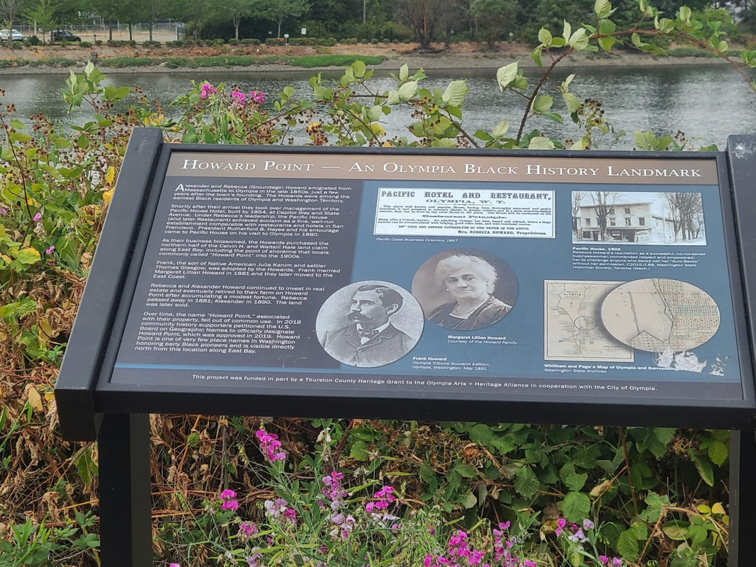 “Alexander and Rebecca (Groundage) Howard emigrated from Massachusetts to Olympia in the late 1850s, just a few years after the town’s founding. The Howards were among the earliest Black residents of Olympia and Washington Territory. Shortly after their arrival they took over management of the Pacific House Hotel, built by 1854, at Capitol Way and State Avenue. Under Rebecca’s leadership, the Pacific House (and later Restaurant) achieved acclaim as a fine, well-run establishment comparable with restaurants and hotels in San Francisco. President Rutherford B. Hayes and his entourage came to Pacific House on his visit to Olympia in 1880. As their business blossomed, the Howards purchased the northern half of the Calvin H. and Waitsill Hale land claim along East Bay, including the point of shoreline that locals commonly called ‘Howard Point’ into the 1900s. Frank, the son of Native American Julia Kanim and settler Thomas Glasgow, was adopted by the Howards. Frank married Margaret Lillian Howard in 1881 and they later moved to the East Coast. Rebecca and Alexander Howard continued to invest in real estate and eventually retired to their farm on Howard Point after accumulating a modest fortune. Rebecca Passed away in 1881; Alexander in 1890. The land was later sold.” Interpretive sign at East Bay Dr & Glass Ave, Olympia WA 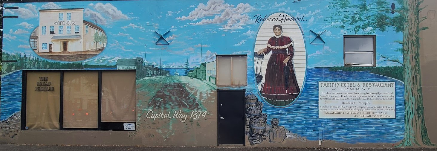 Pacific Hotel & Restaurant mural on the side of The Bread Peddler--222 Capitol Way N, Olympia, WA 98501 Pacific Hotel & Restaurant mural on the side of The Bread Peddler--222 Capitol Way N, Olympia, WA 98501 Red Lion Inn & Suites Olympia Governor Hotel--621 Capitol Way South, Olympia, WA 98501 “Our hotel is located on land that has offered lodging to travelers since the 1850s—when Olympia became the capital city of Washington Territory.” The hotel has a corridor of historic photos, beside those in other prominent places. There wasn't much photography going on at the time of the Oregon Trail, but to see more of the fascinating photos, scroll down at the above mentioned post about the PNW Capitals. George and Isabella Bush Homestead Historic Site--1400 85th Ave SE, Olympia, WA 98501 I was too worn out to get out and get better pics, for which I feel very sorry. The site could use a bit of TLC.
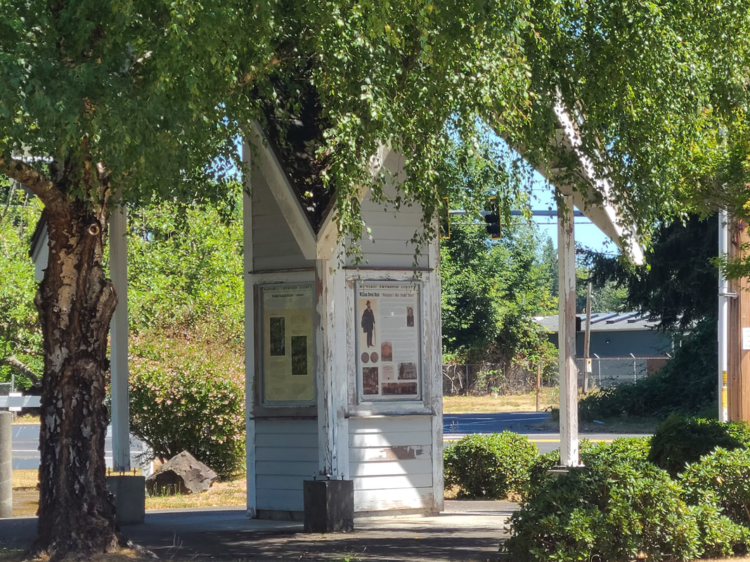
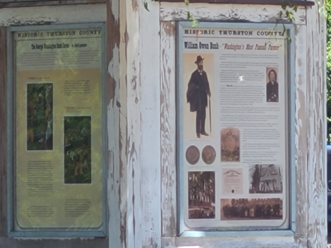
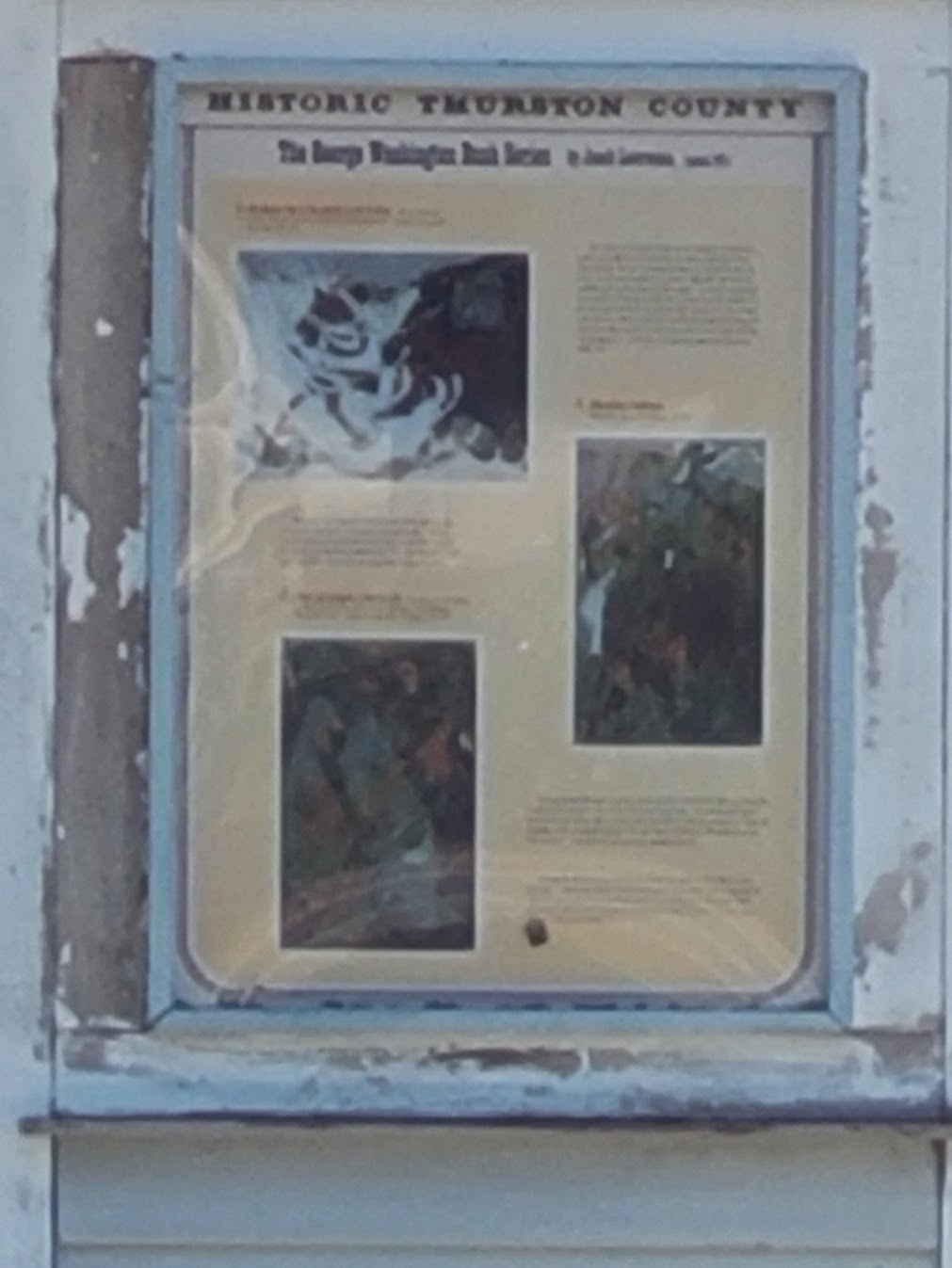
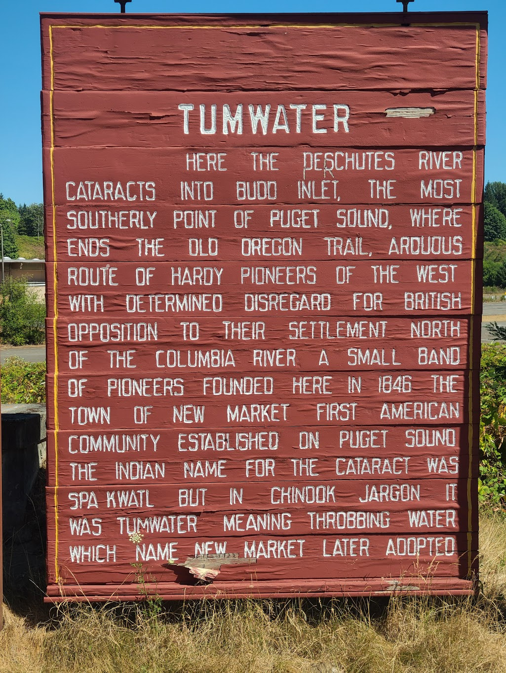
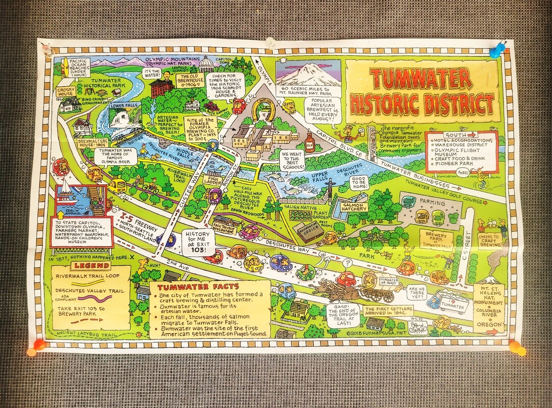
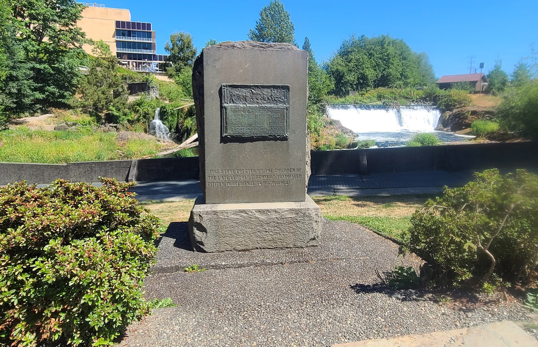
Tumwater WA I had a little time on my way back to my hotel in Olympia, from the day spent in Tenino, so I took this little detour, and how glad I am I did! I only wish I'd had more time and knowledge about where to go. More pics of historic Tumwater at my PNW Capitals post mentioned above.
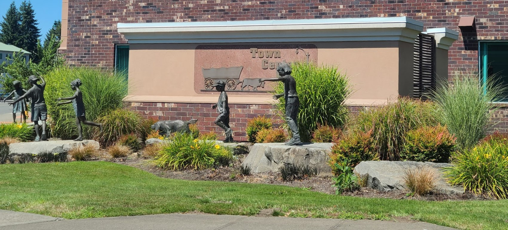
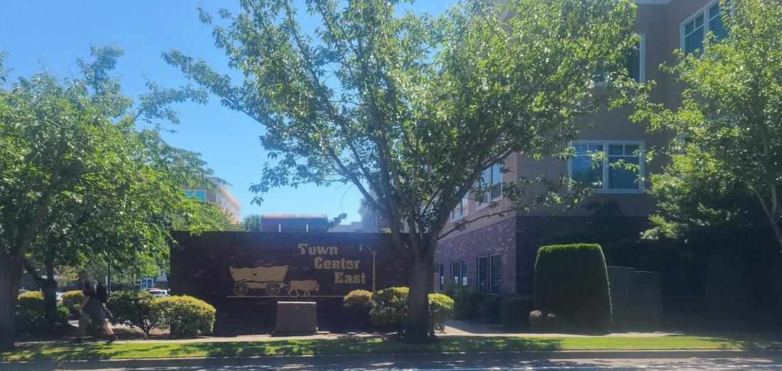
Lacey WA
The Naches Pass Trail was the road considerably less traveled as part of the Oregon Trail, an attempt to make a more direct route from Walla Walla to the Puget Sound area (Steilacoom), via Yakima & Bonney Lake.
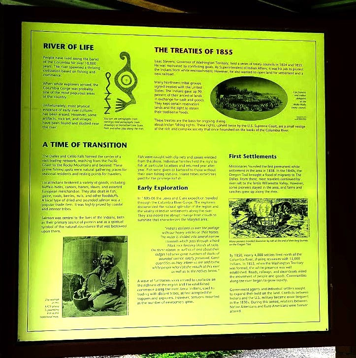
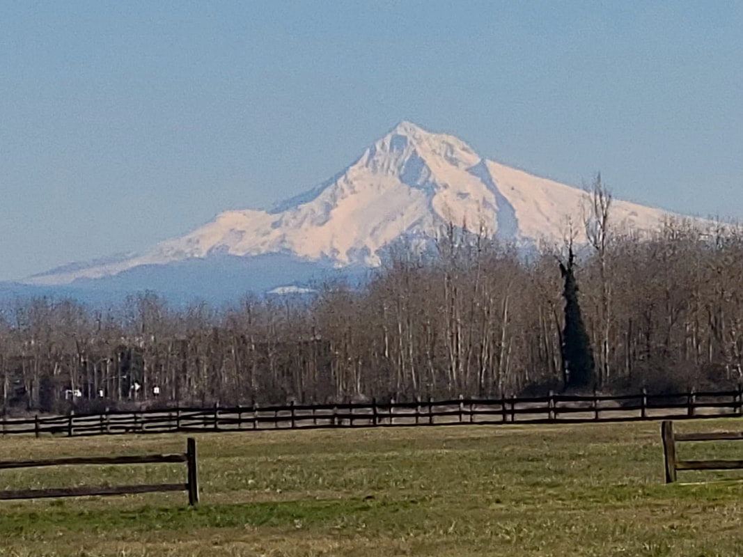
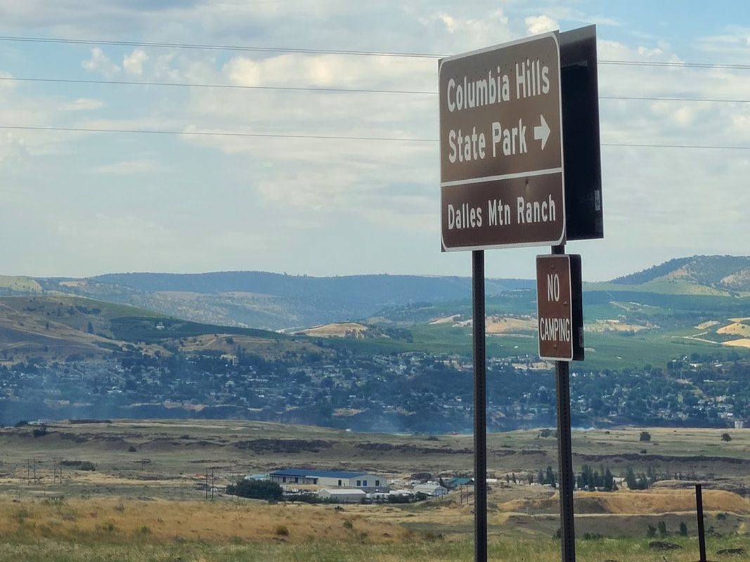
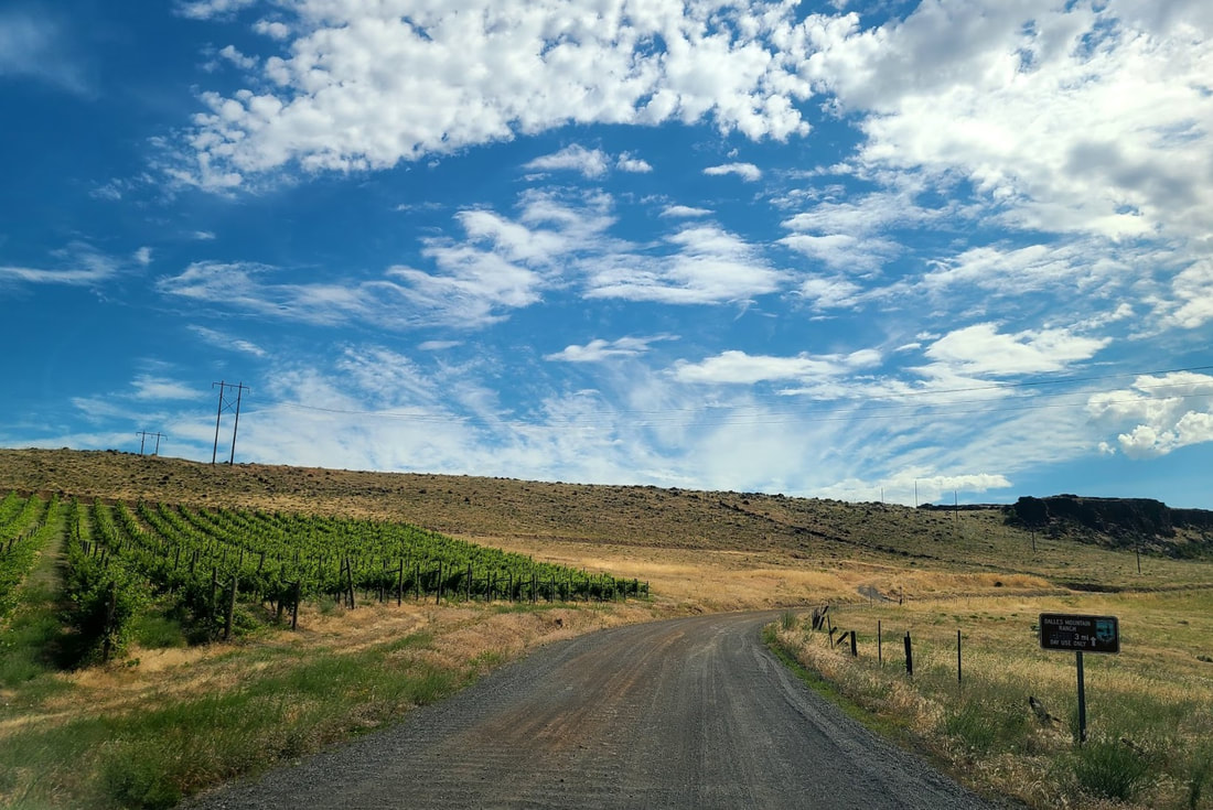
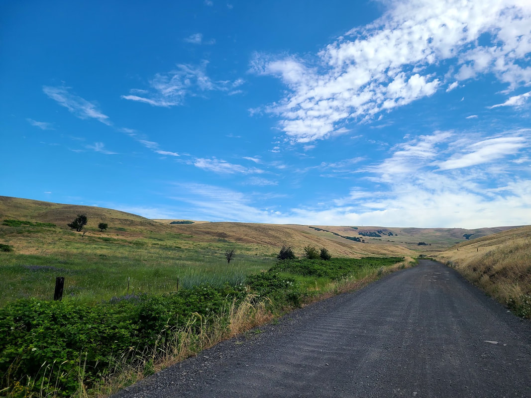
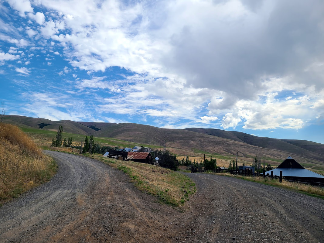
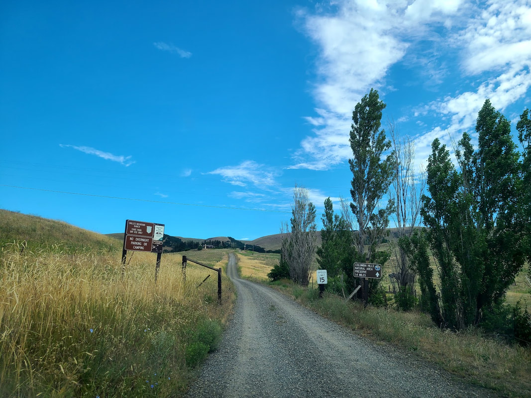
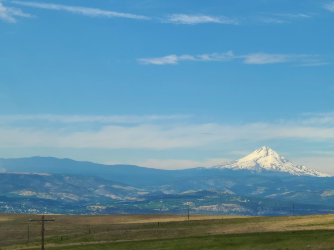
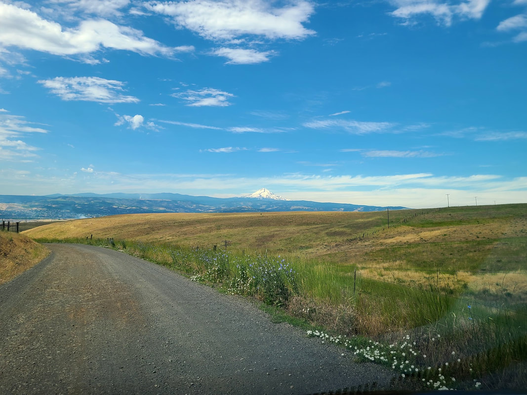
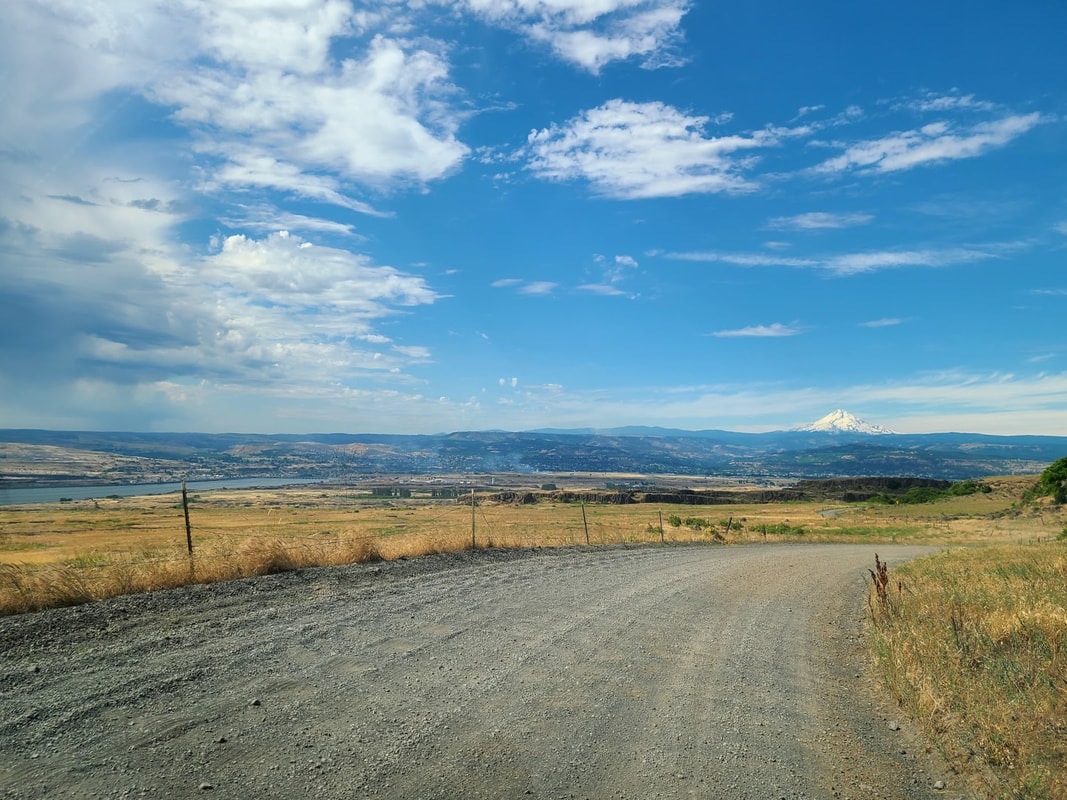
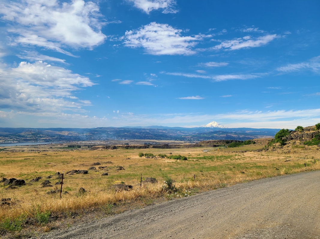
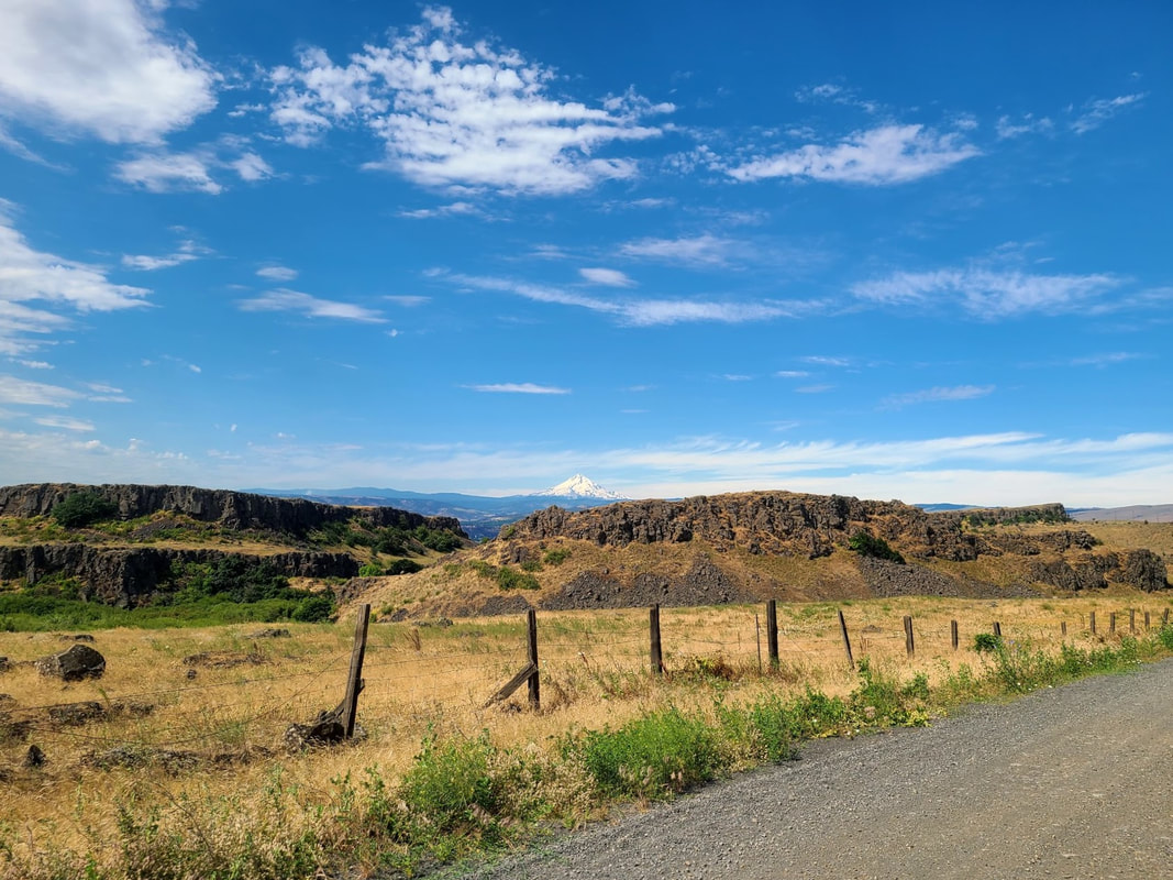
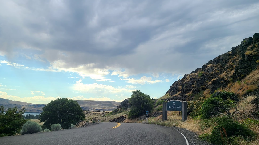
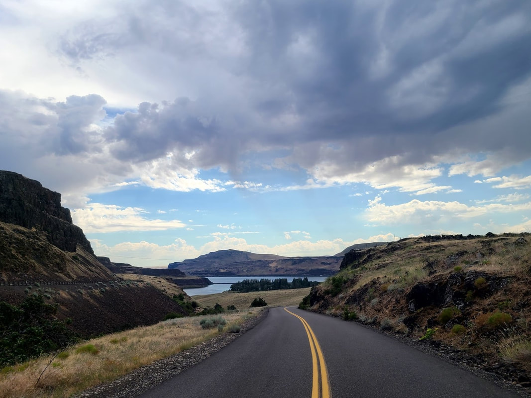
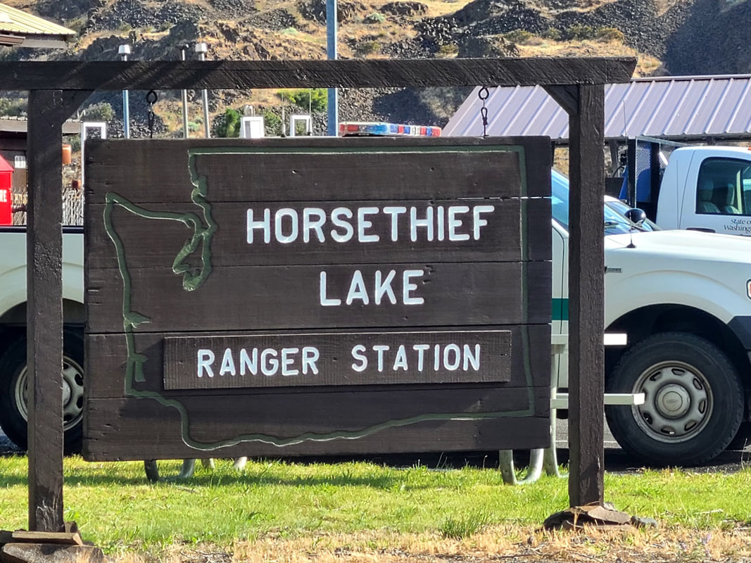
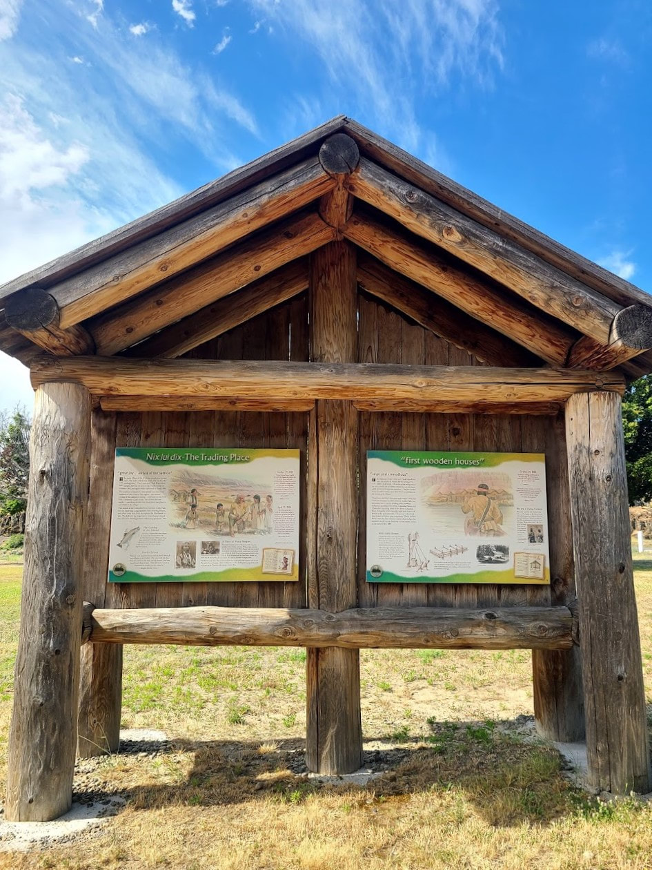
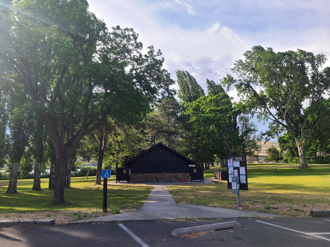
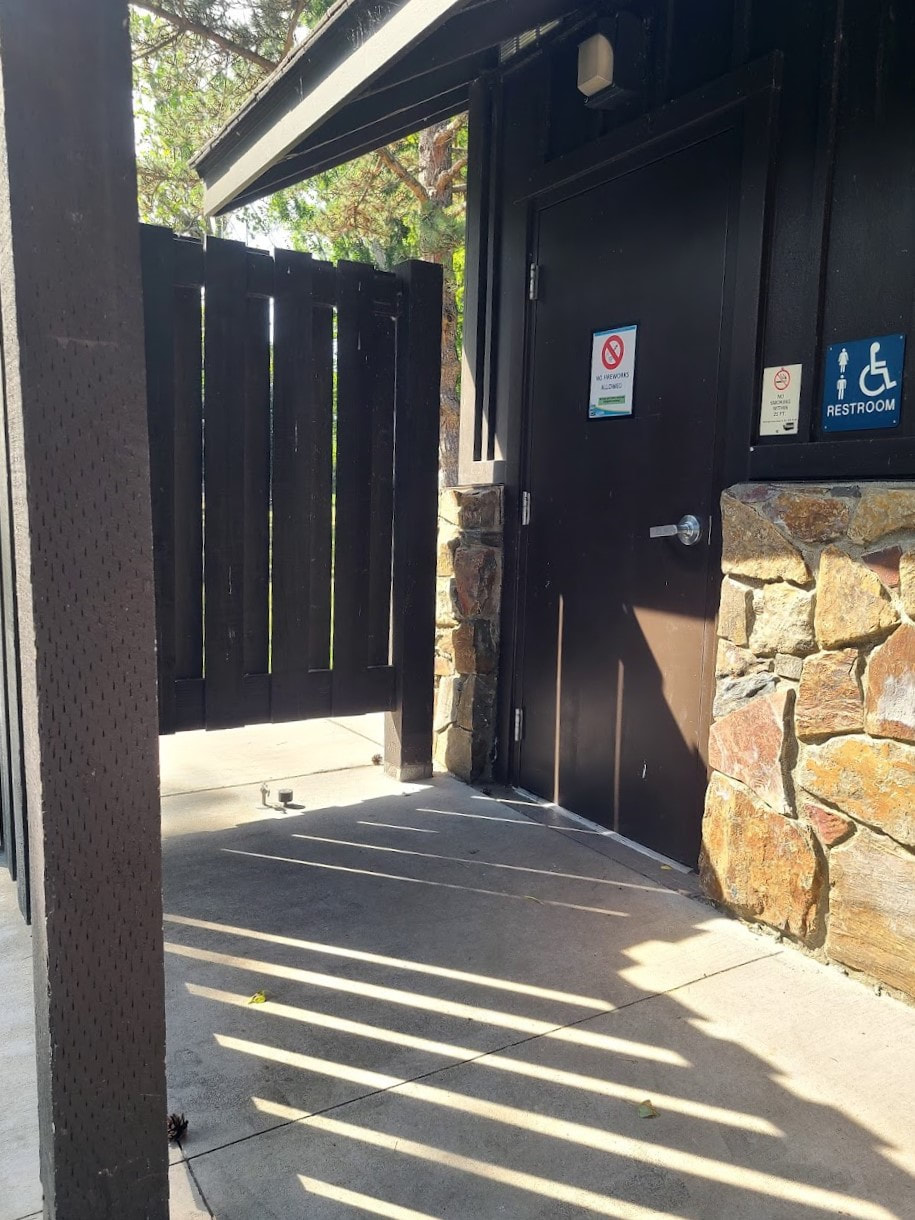
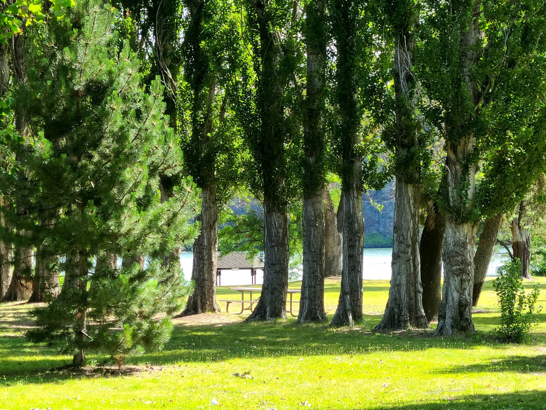
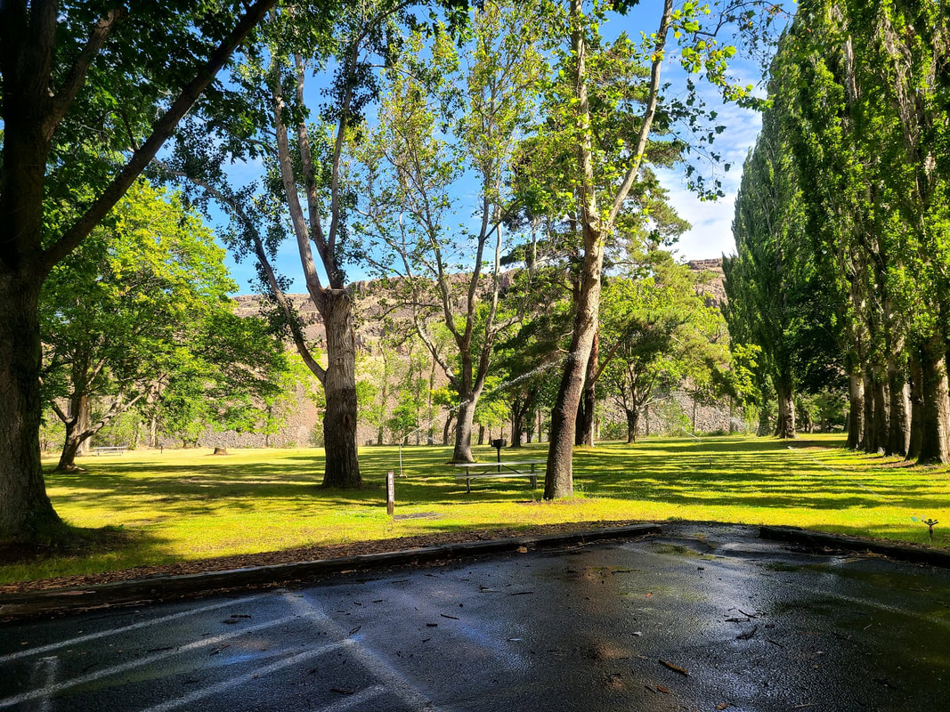
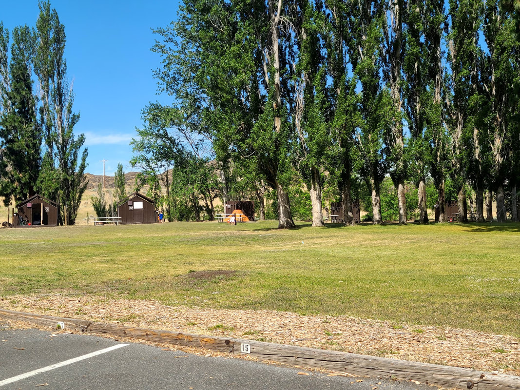
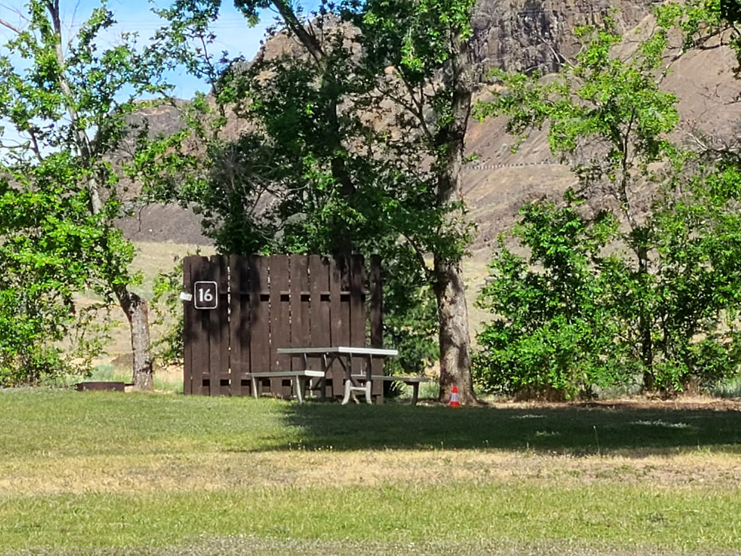
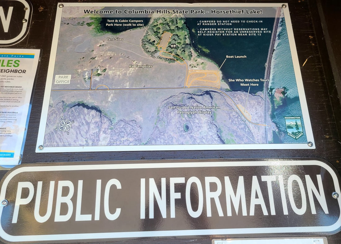
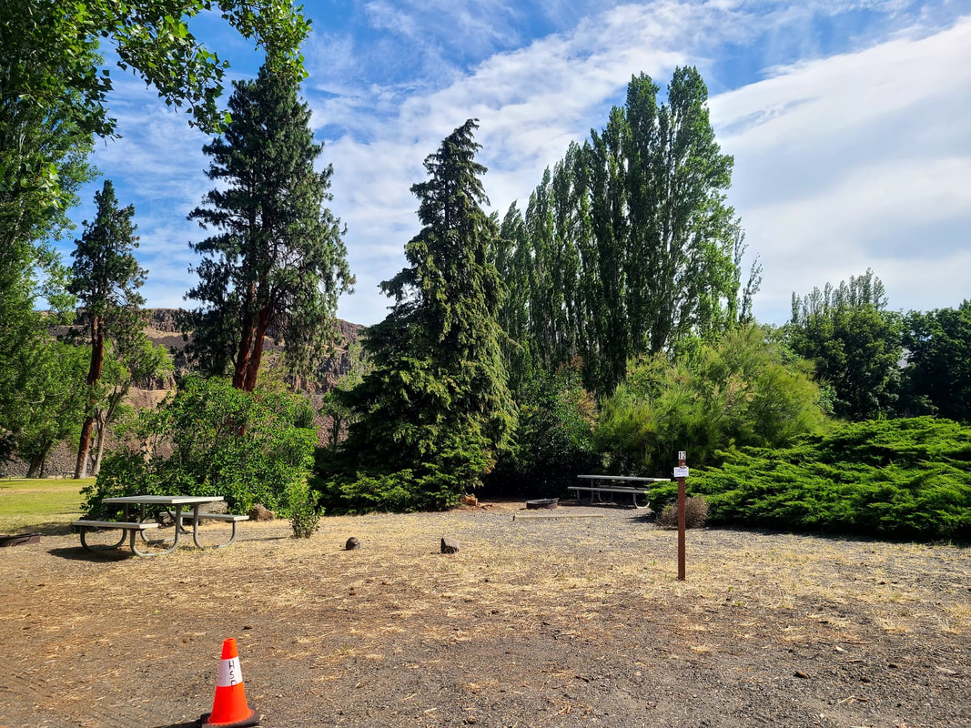
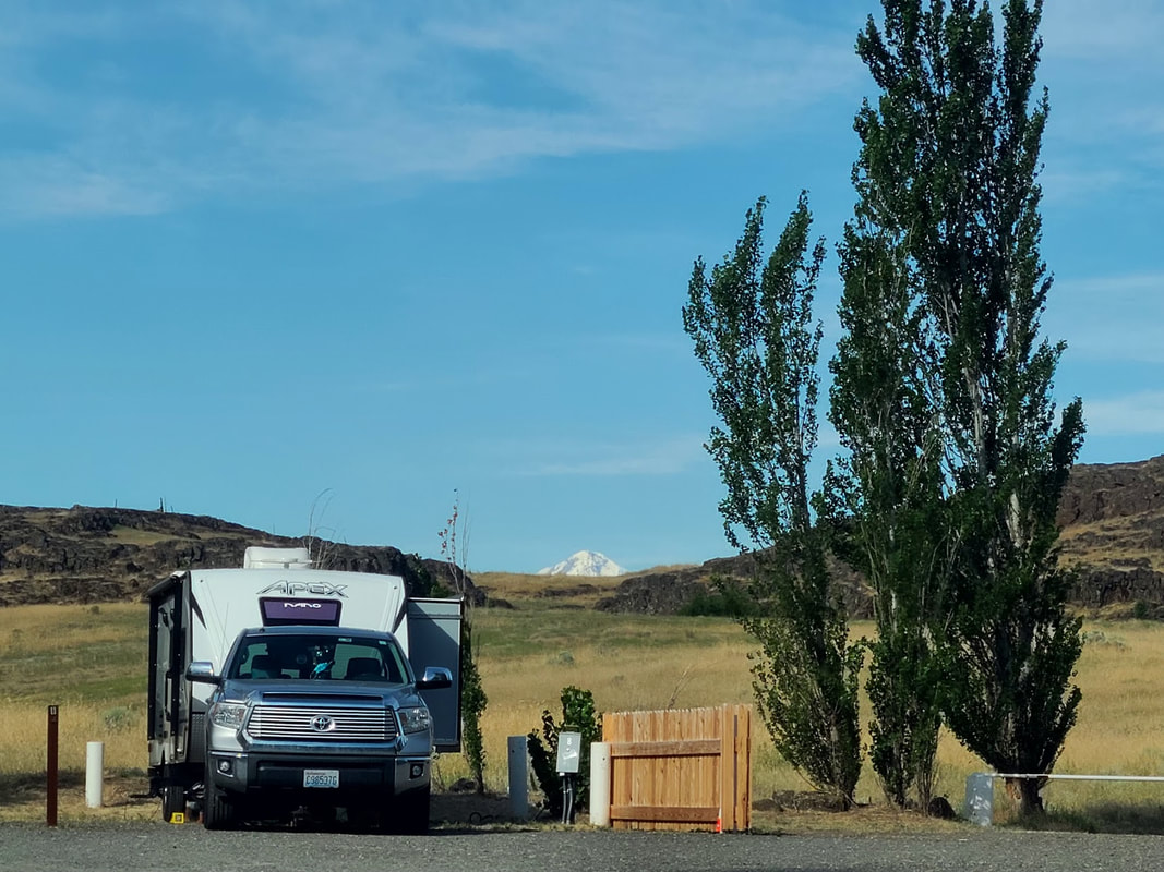
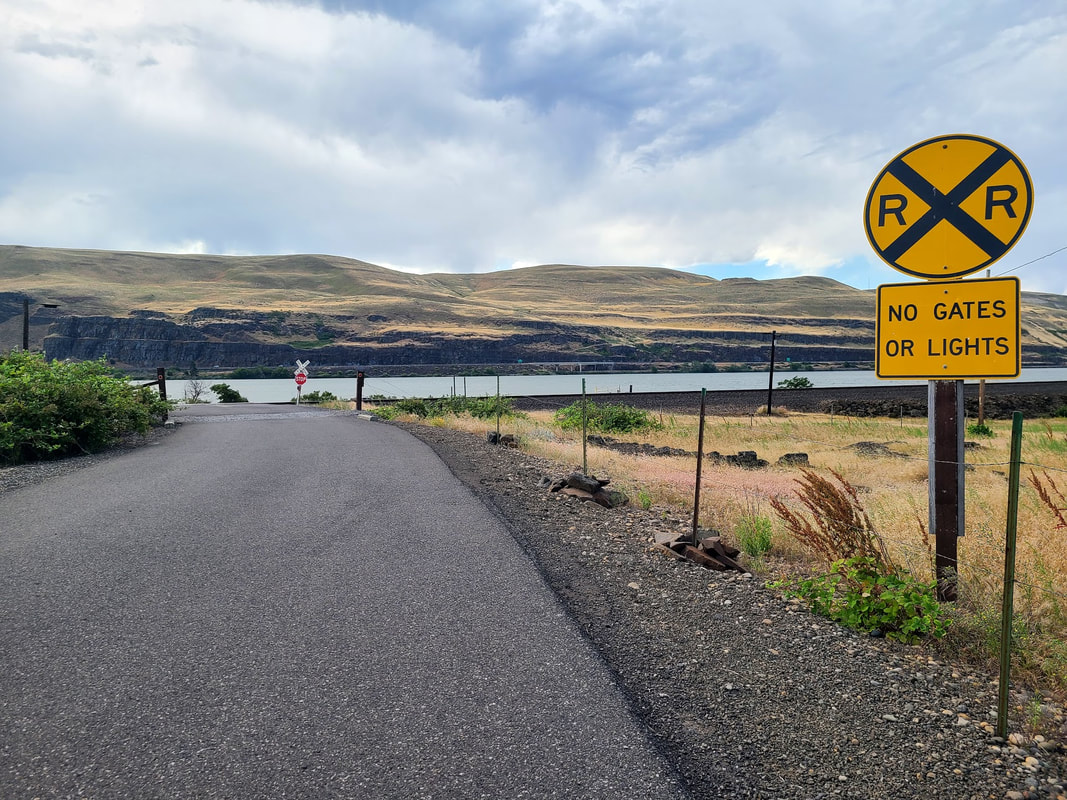
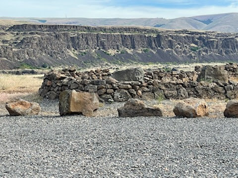
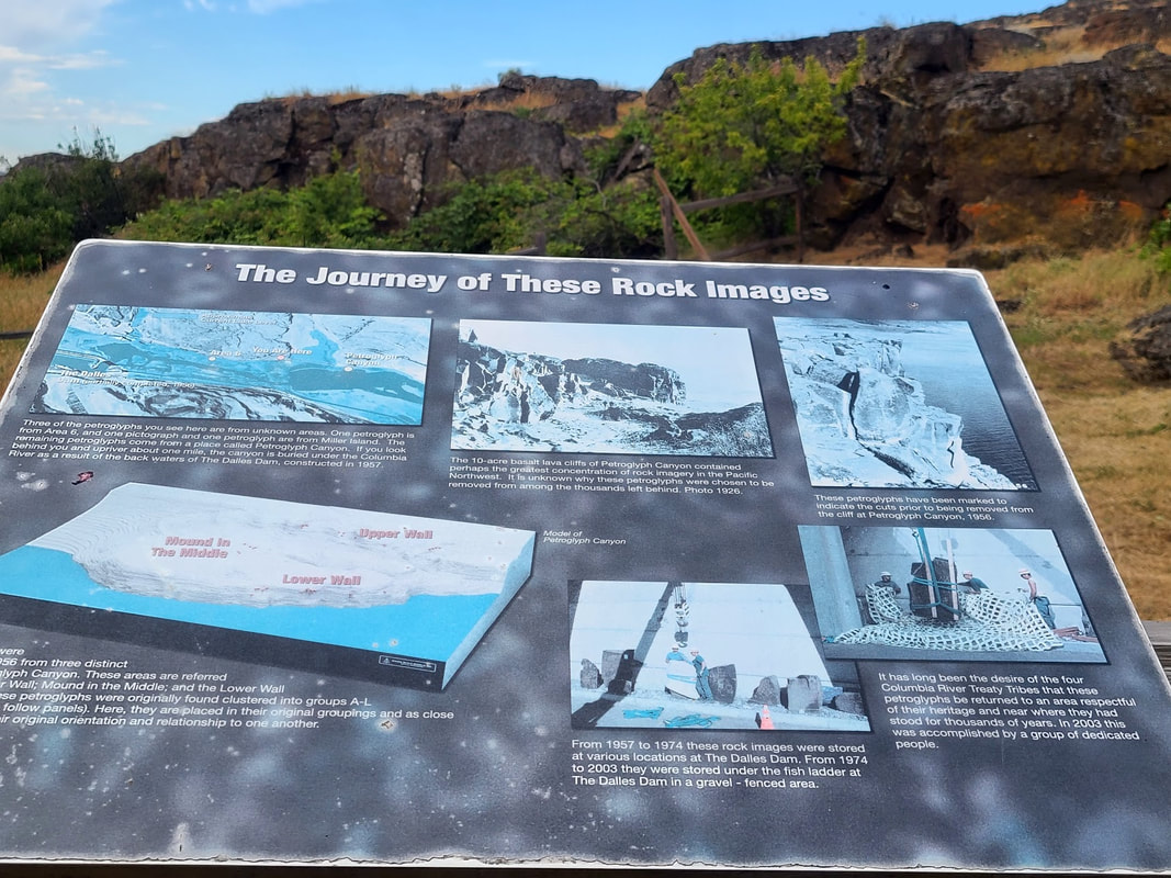
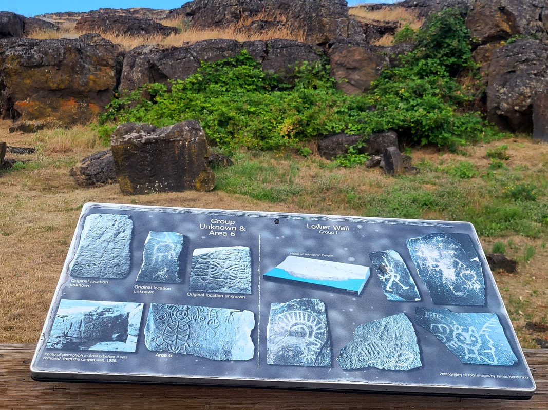
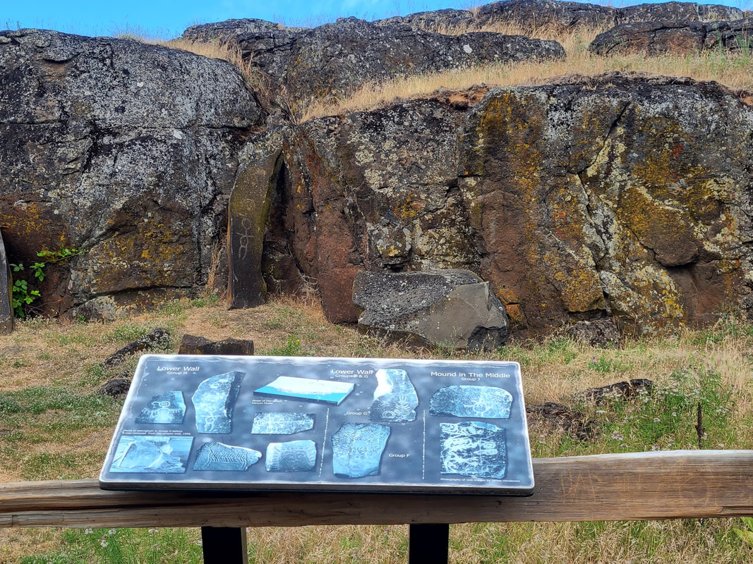
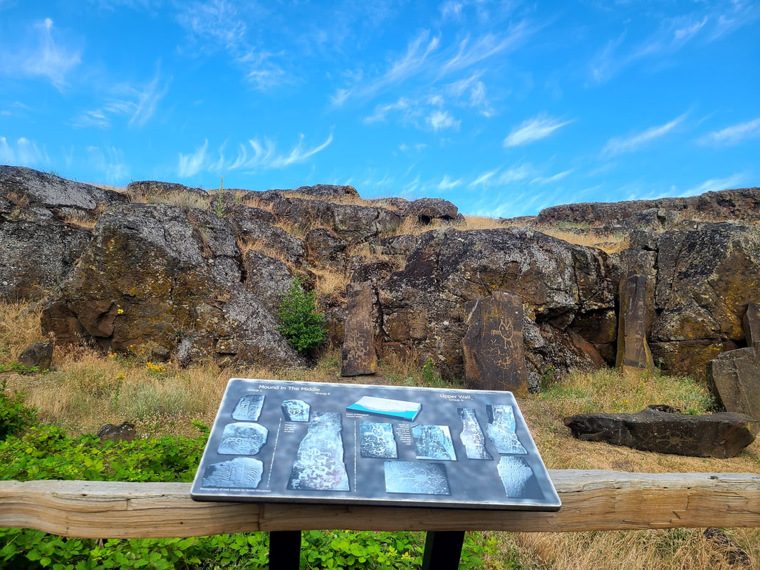
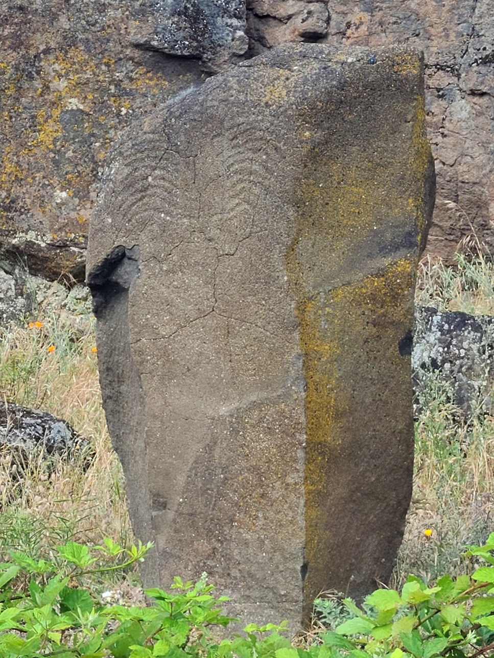
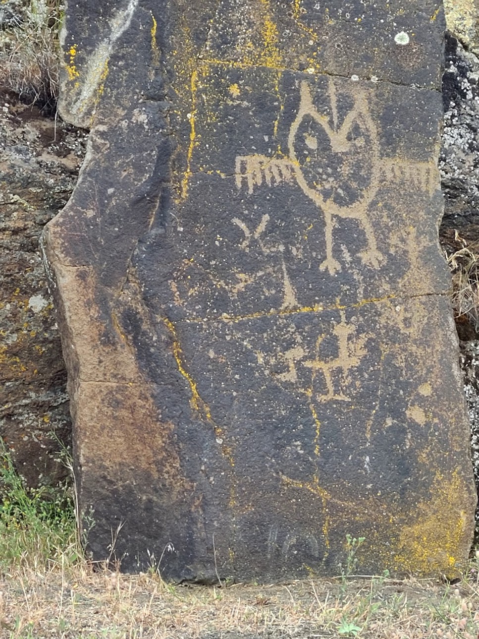
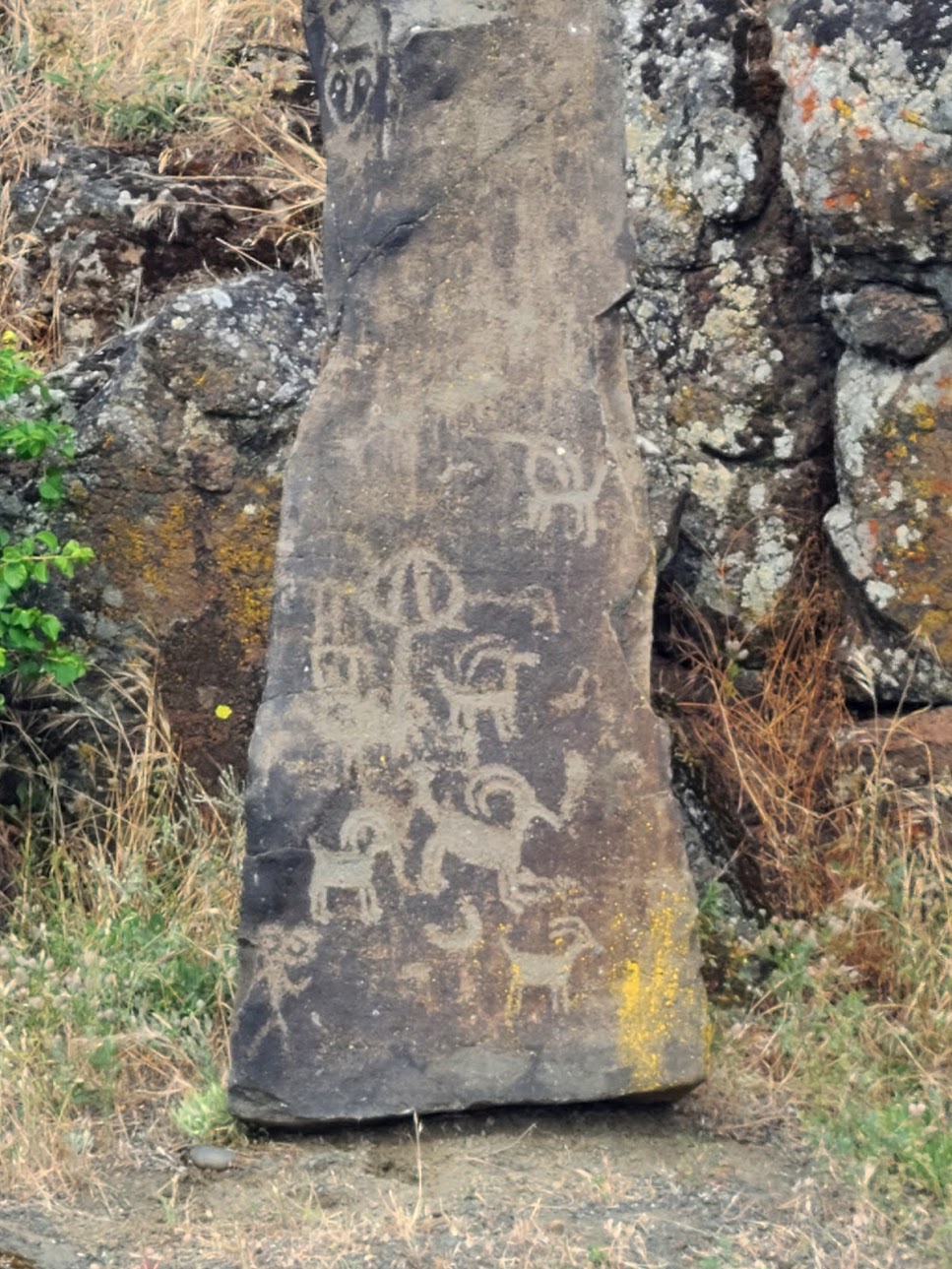
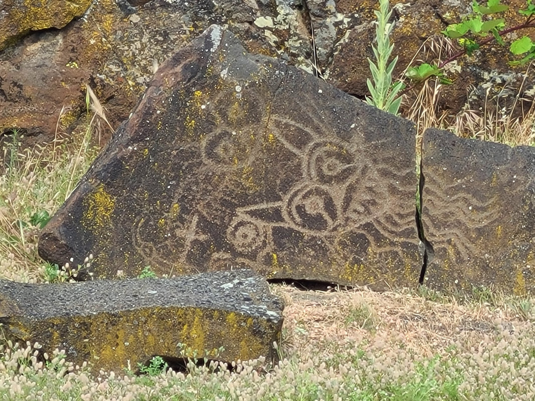
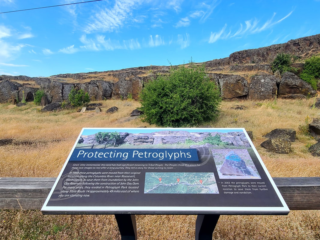
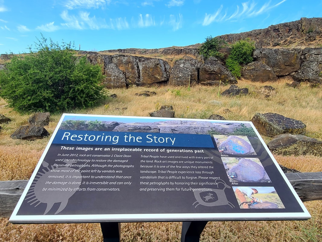
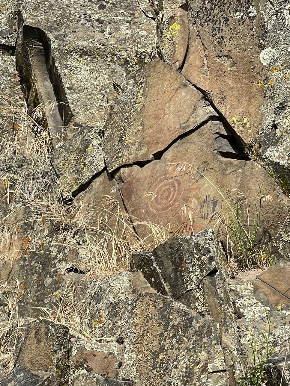
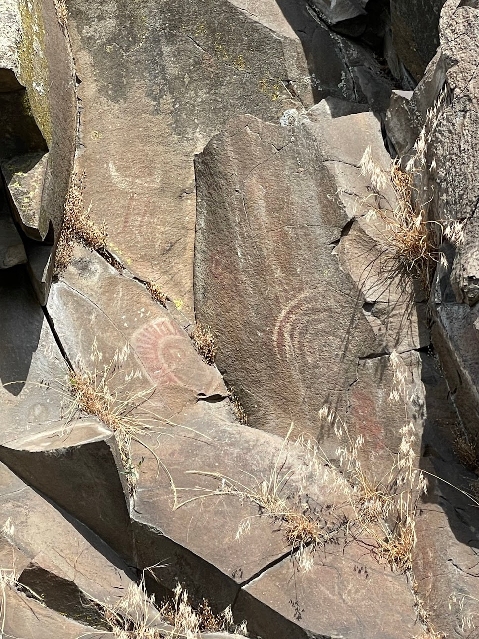
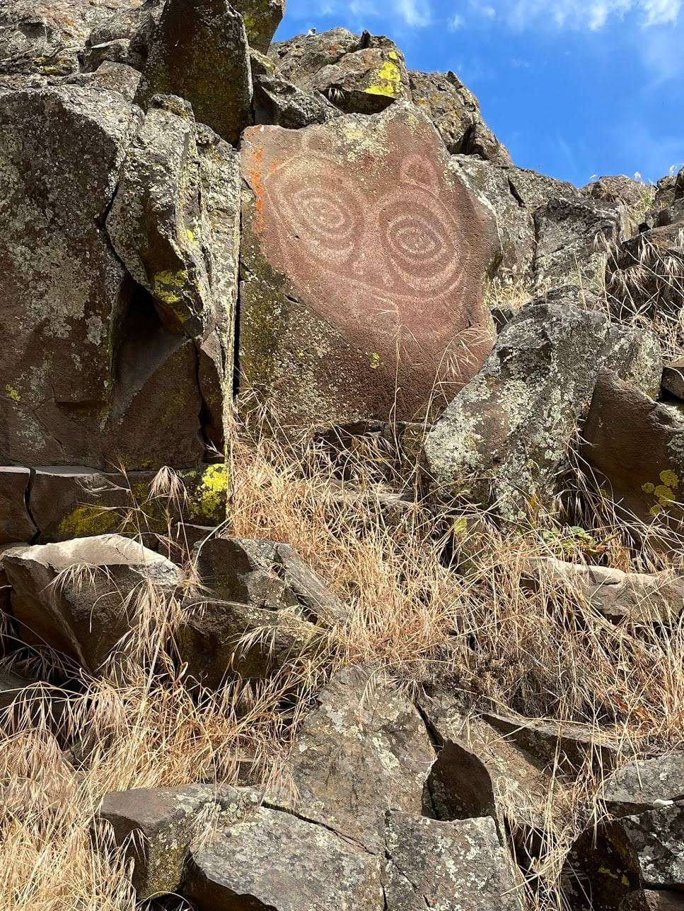
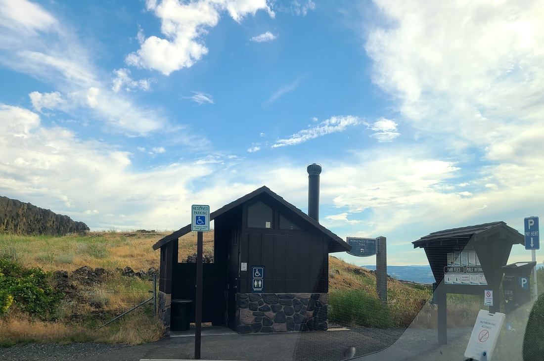
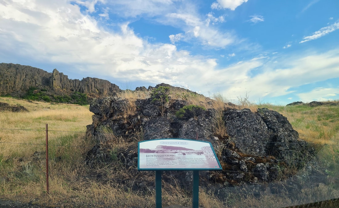
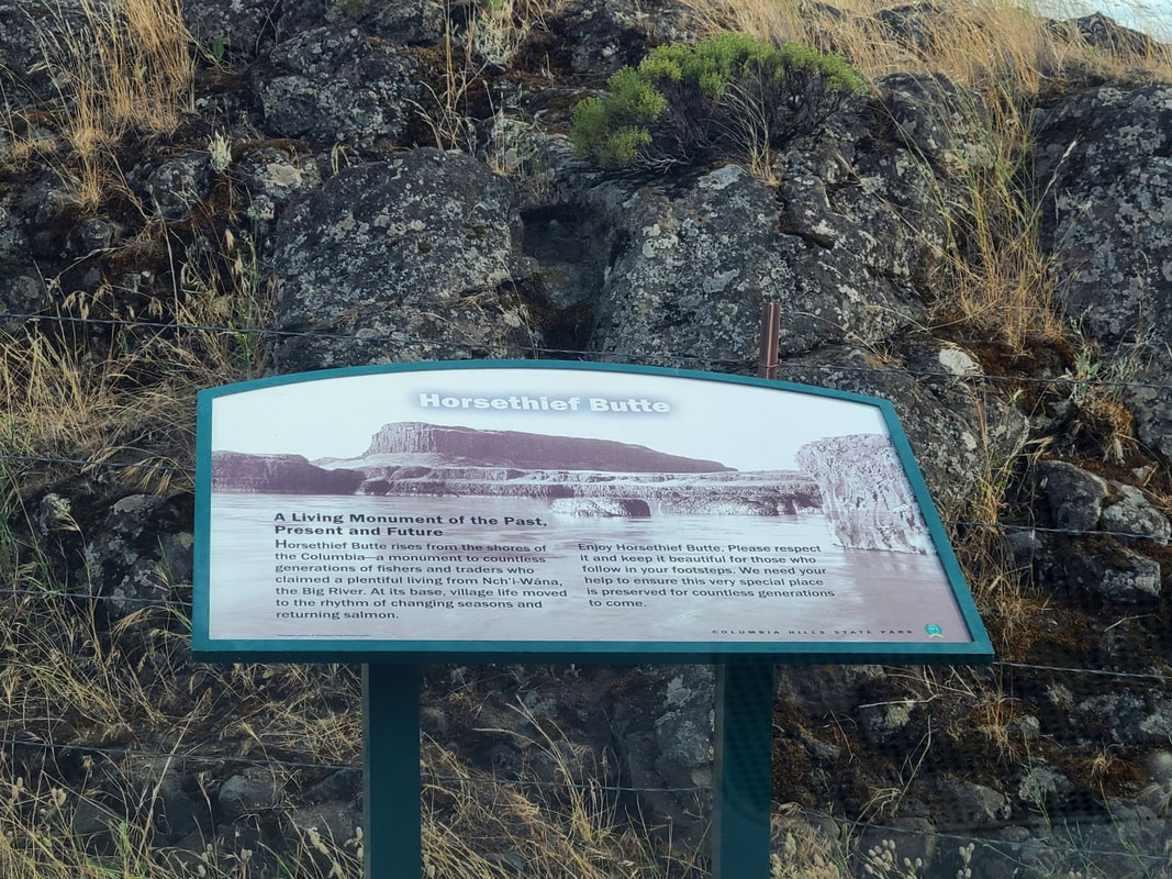
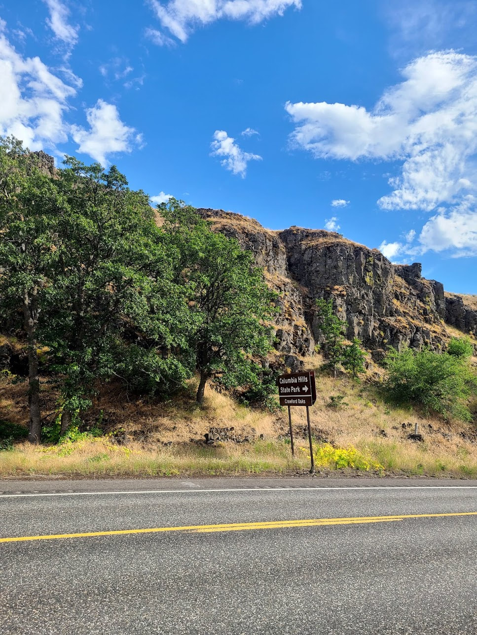
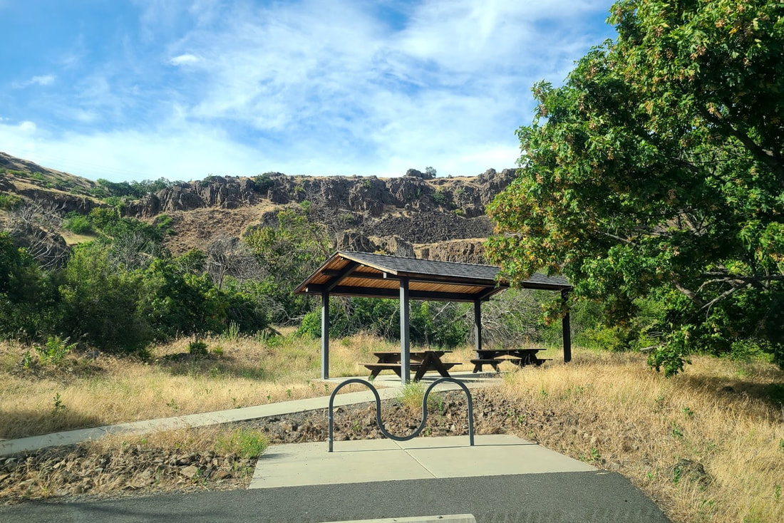
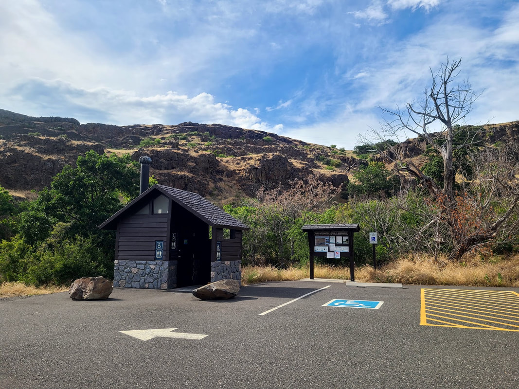
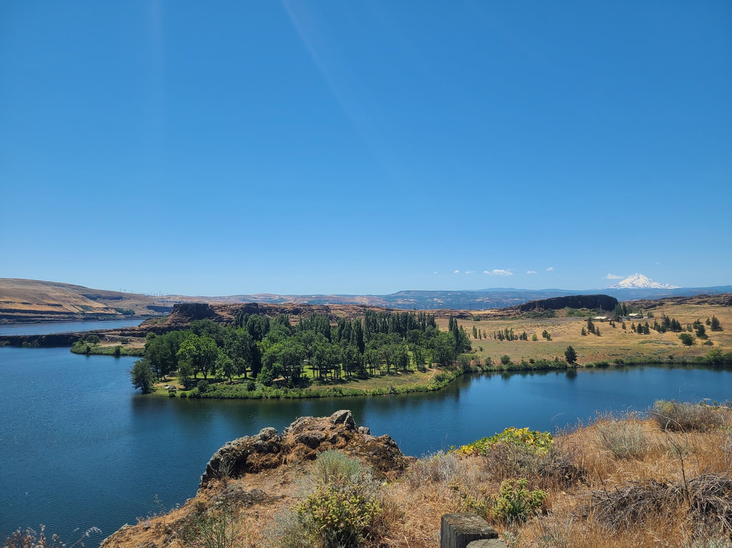
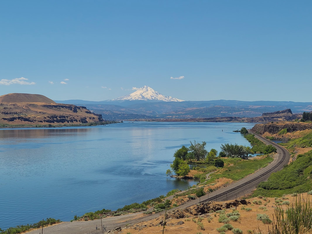
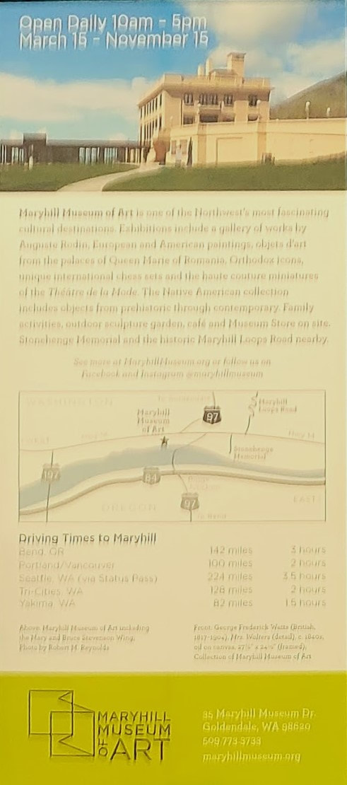
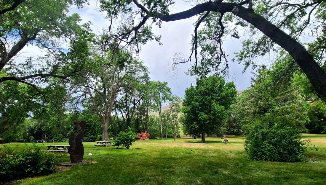
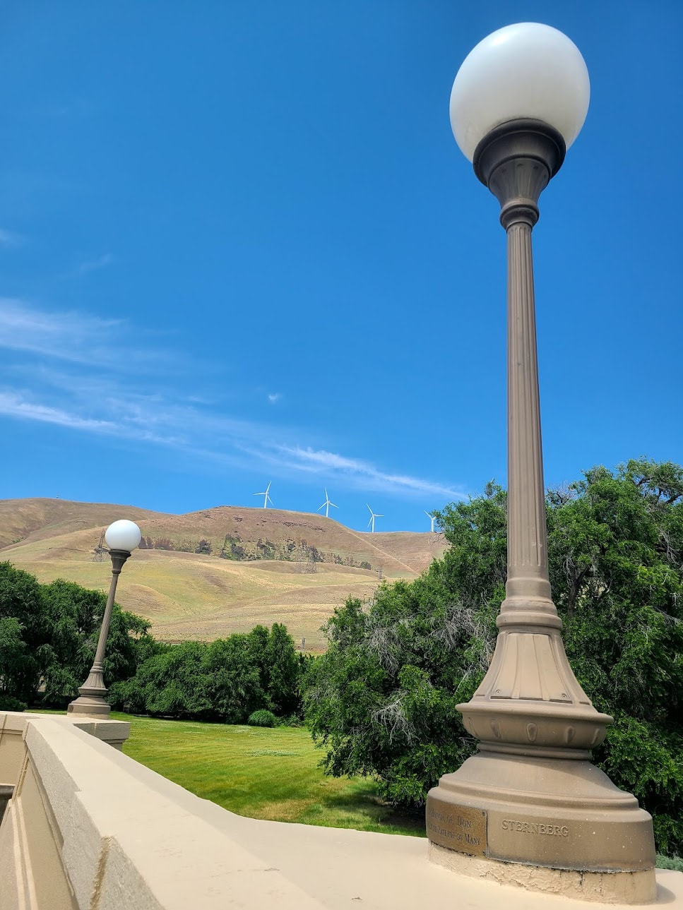
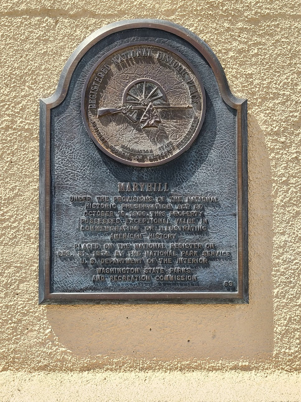
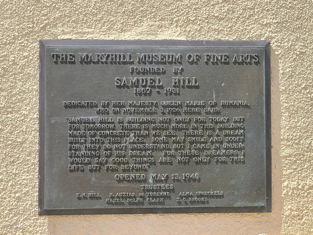
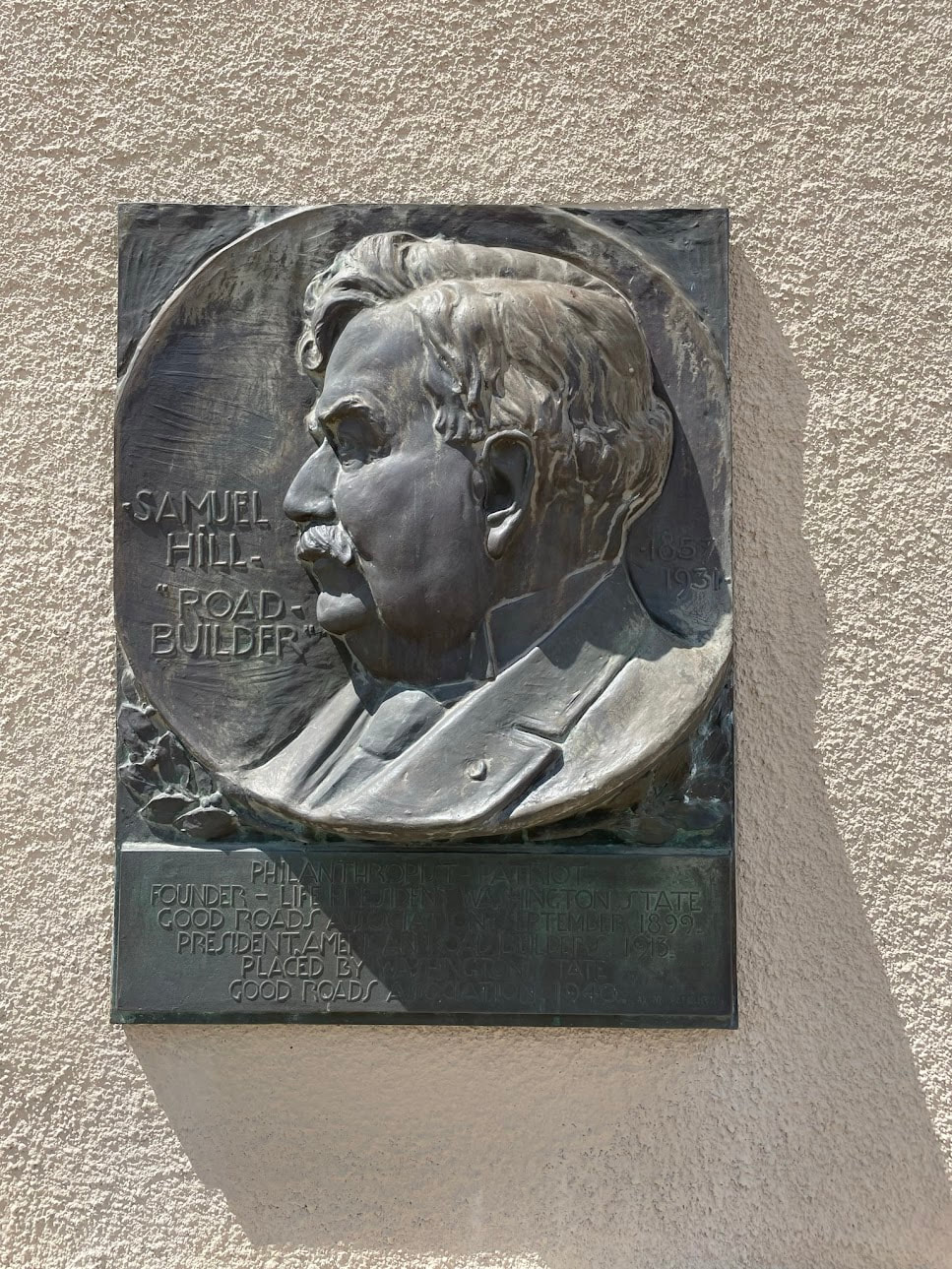
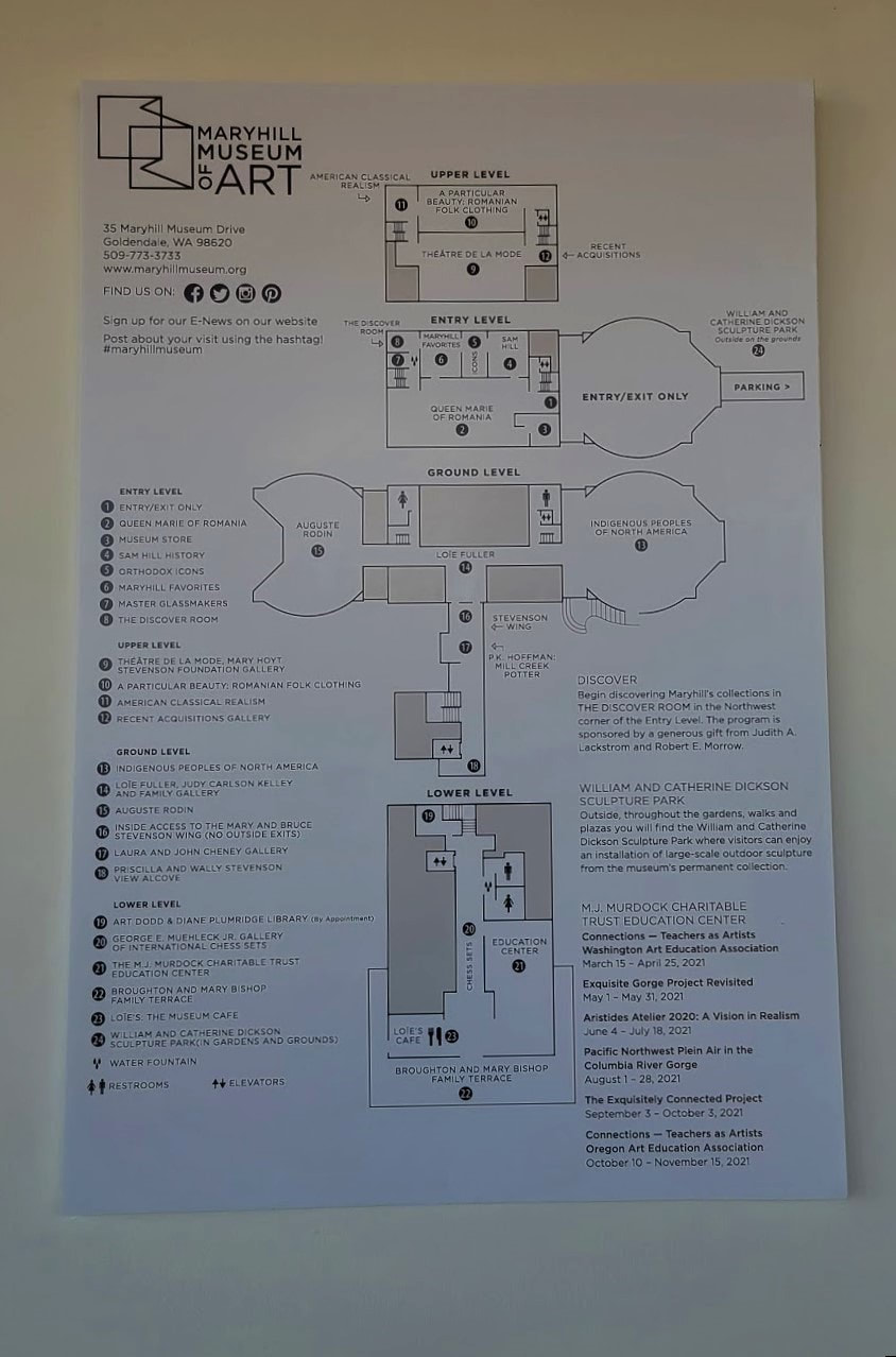
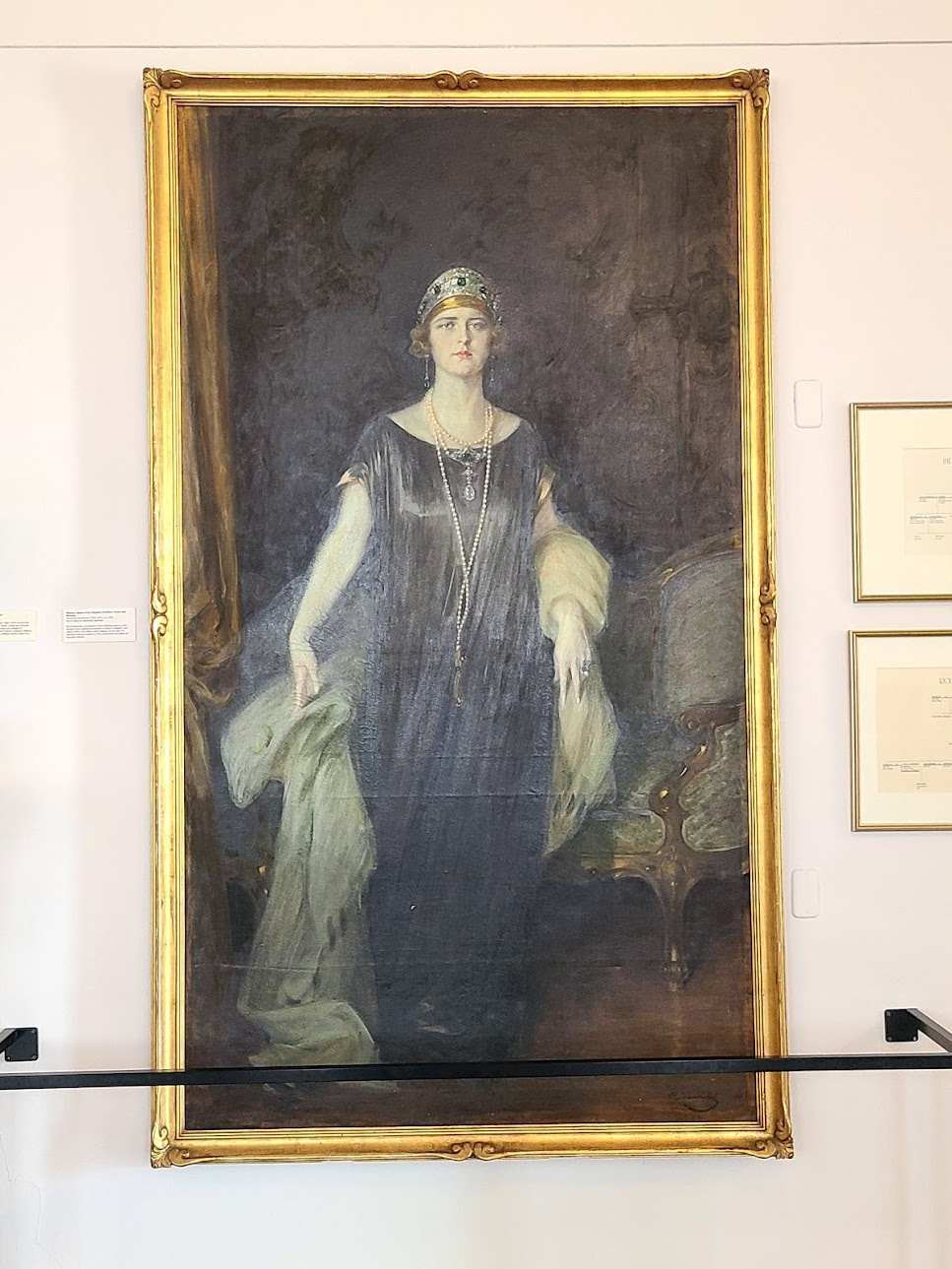
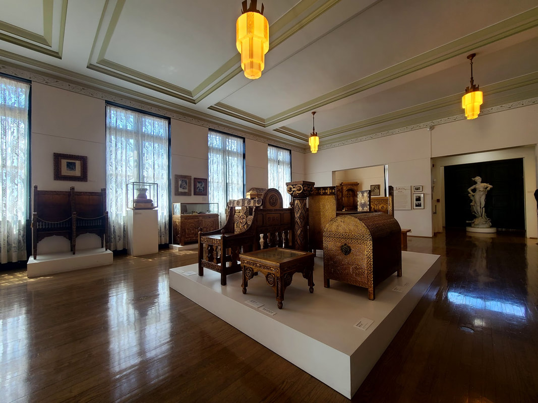
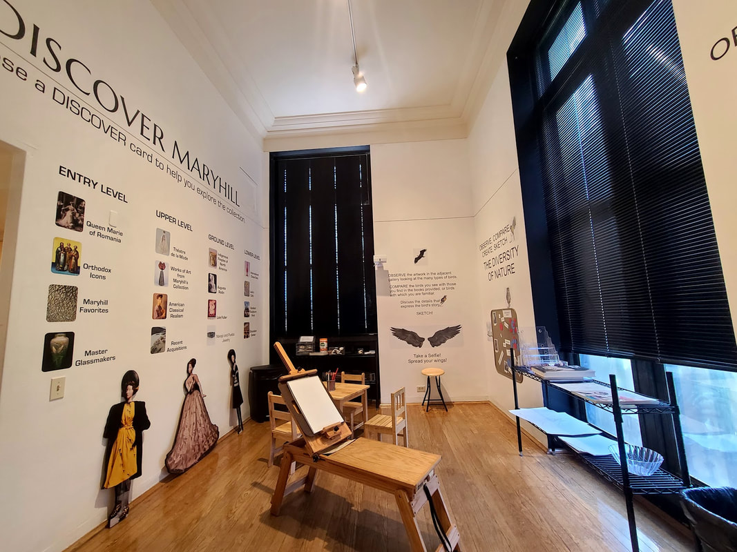
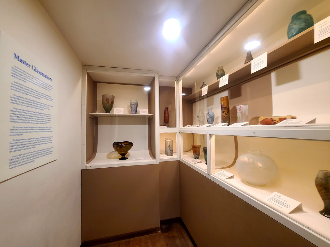
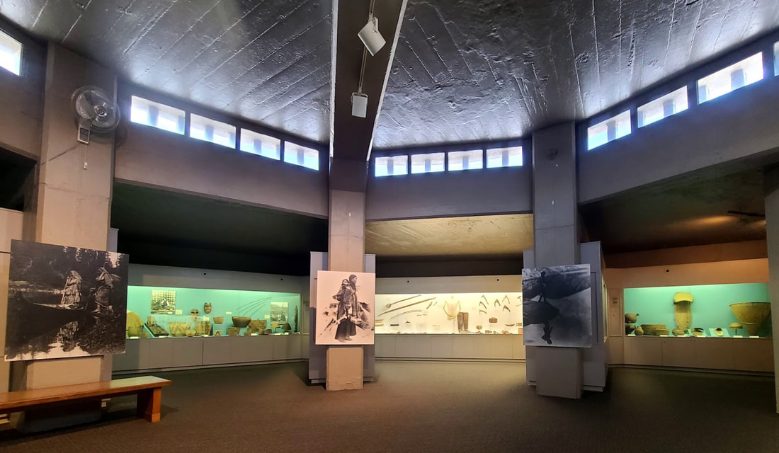
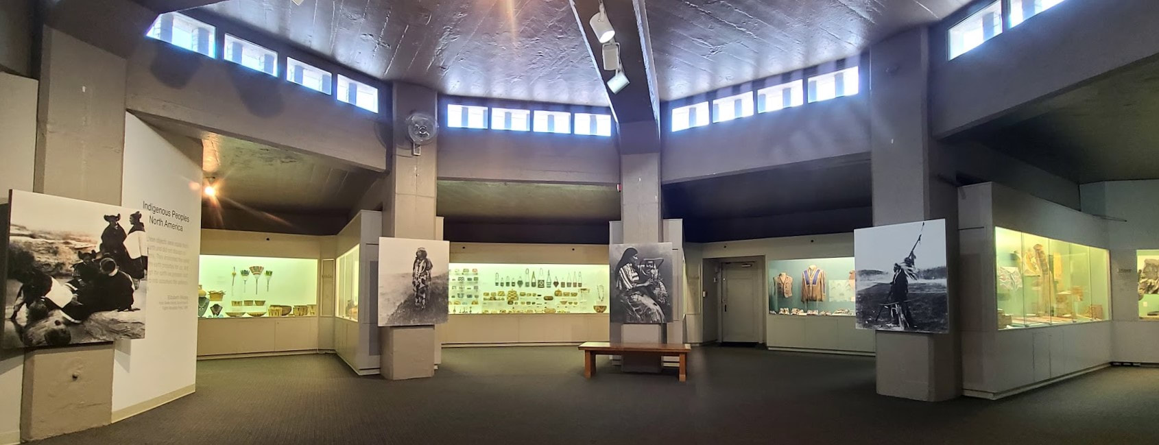
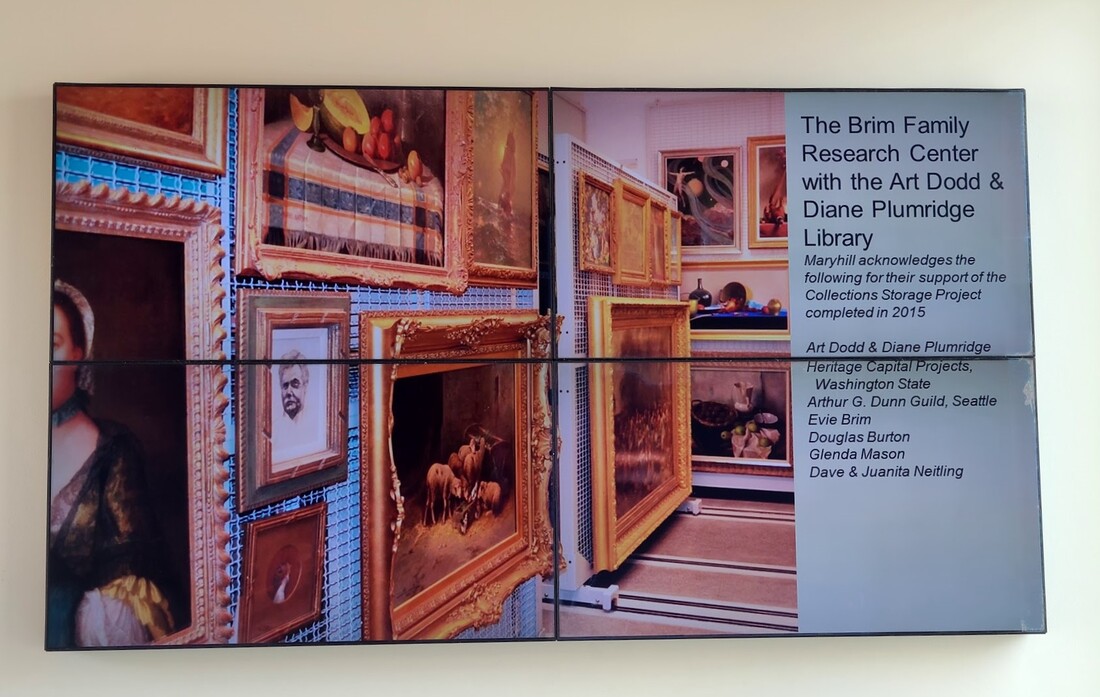
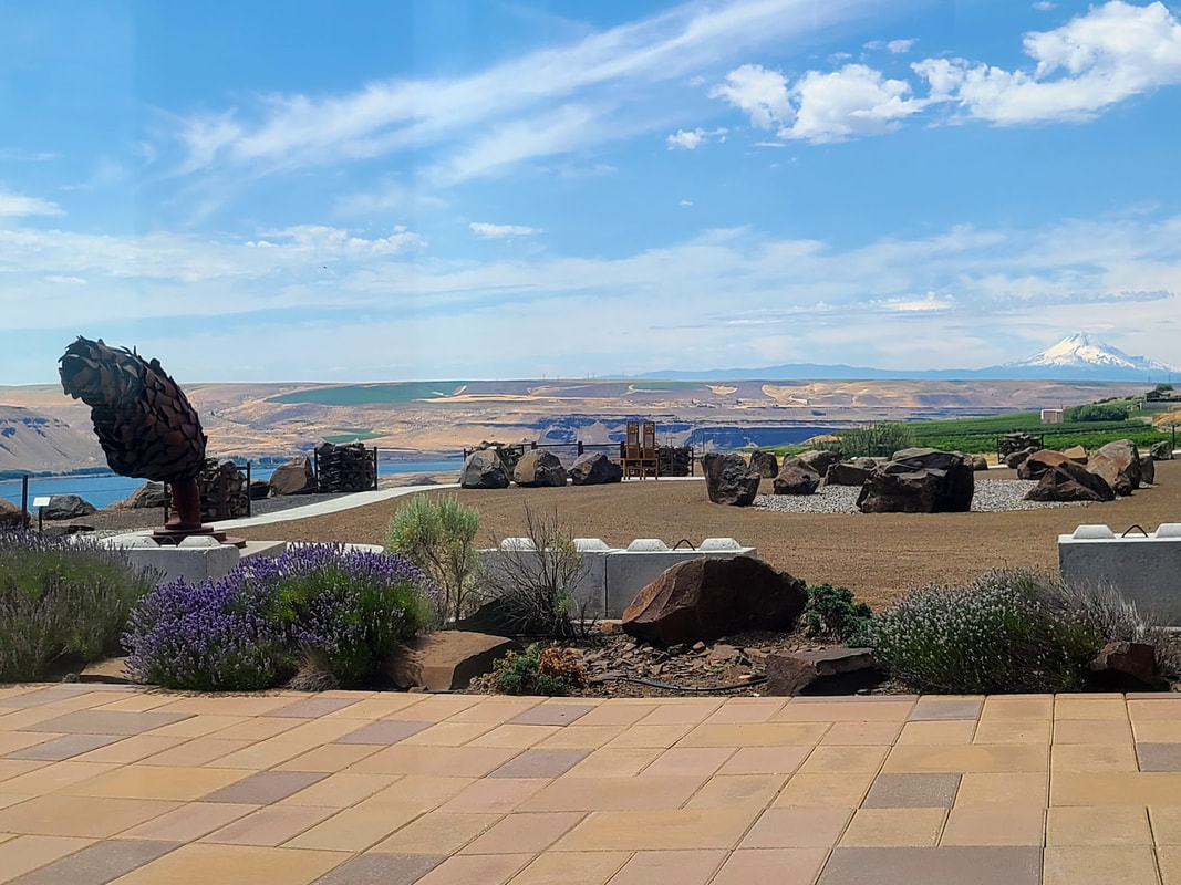
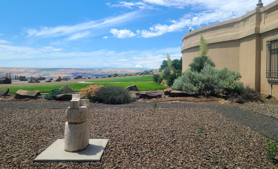
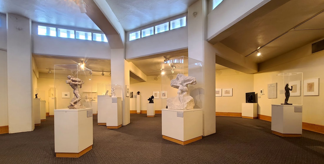
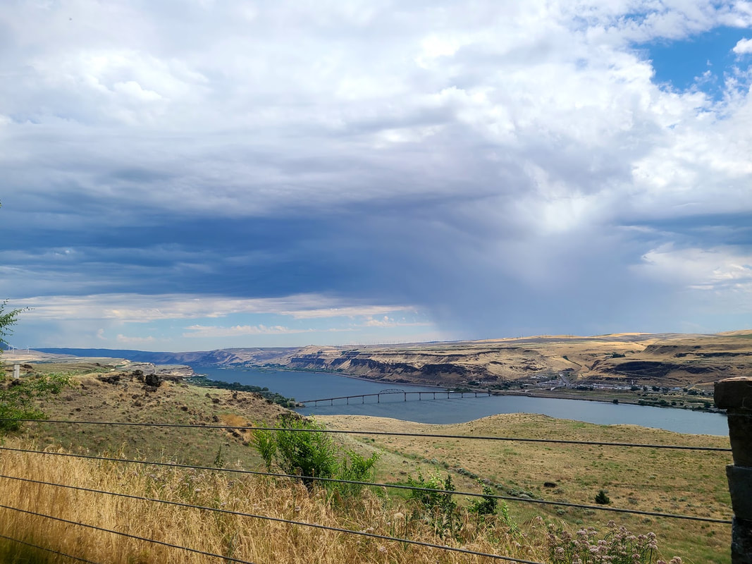
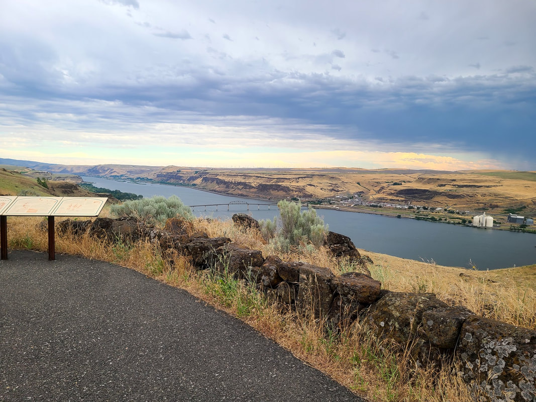
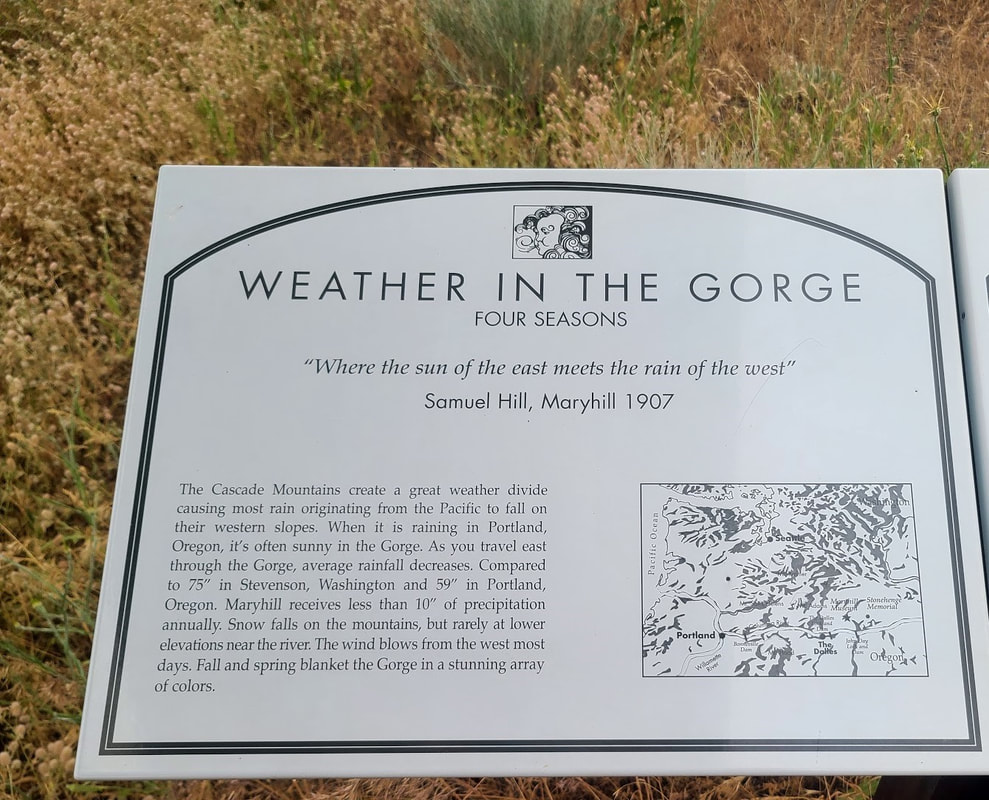
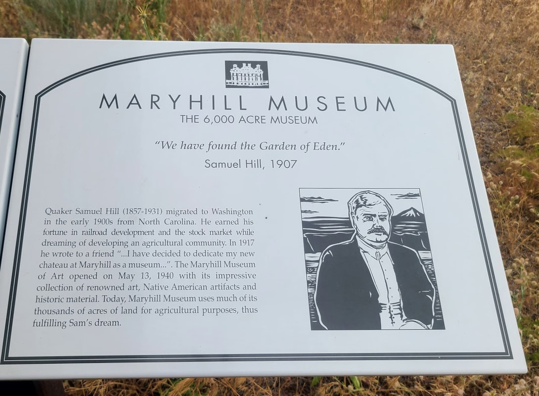
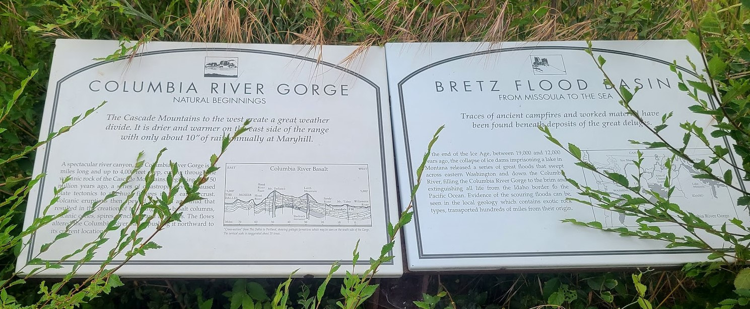
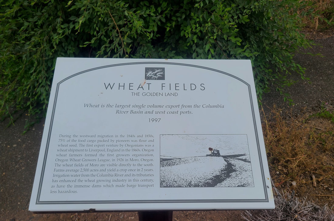
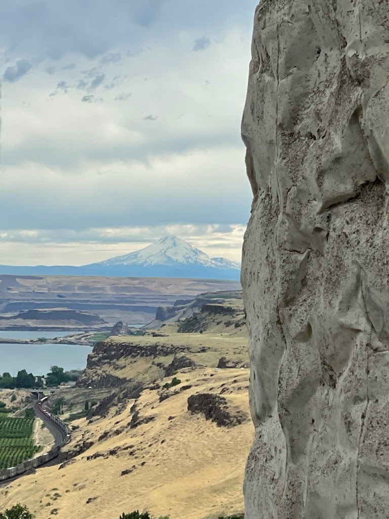
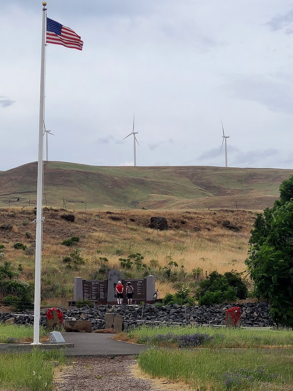
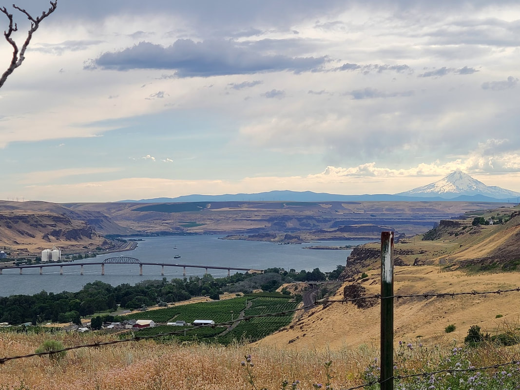
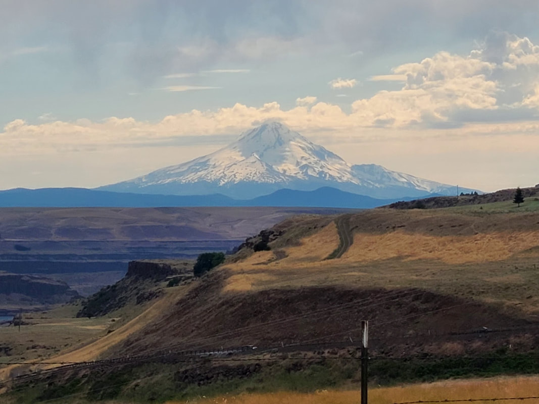
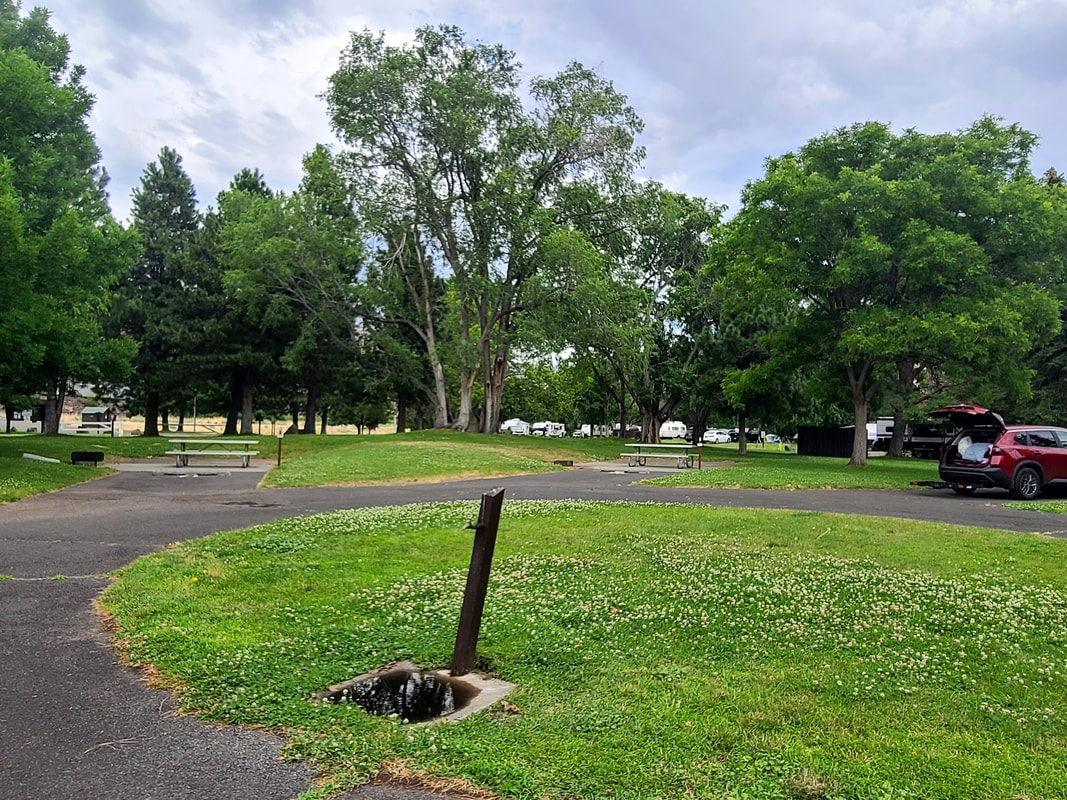
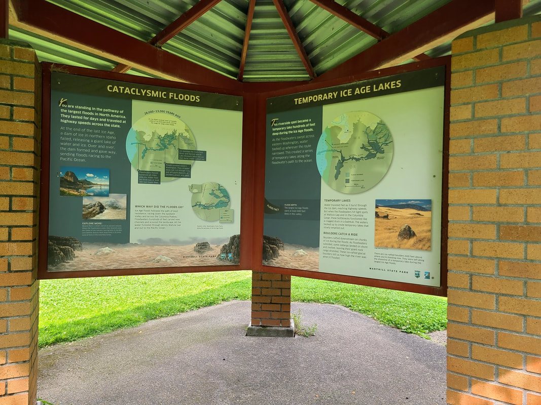
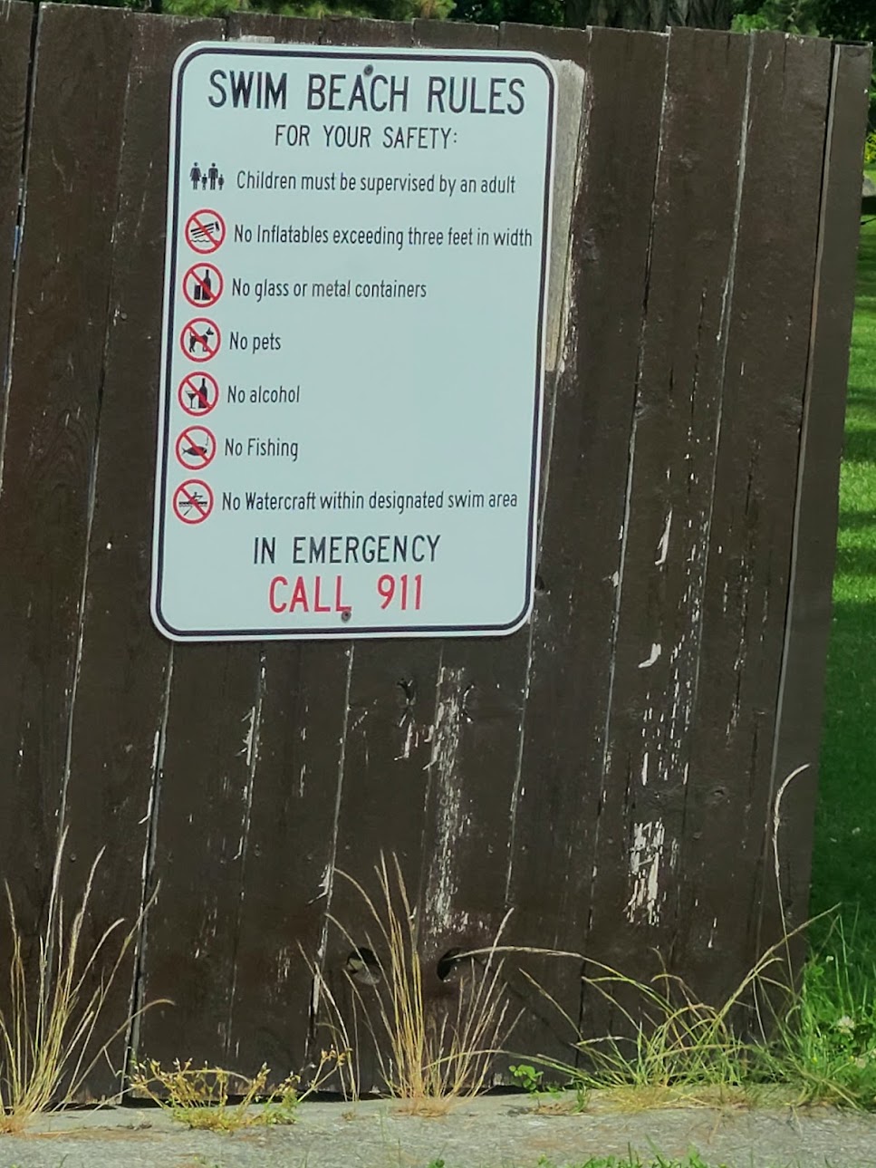
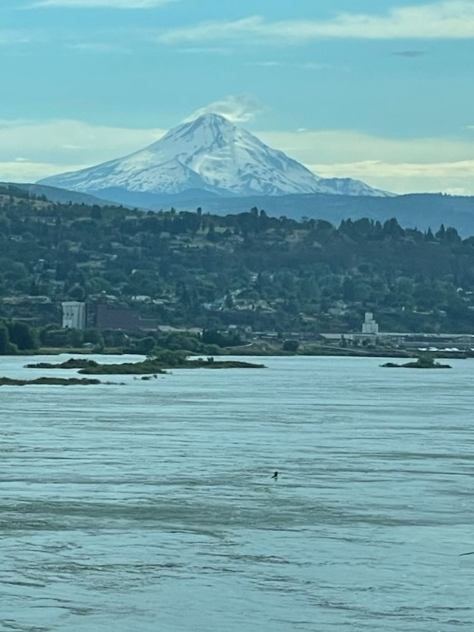
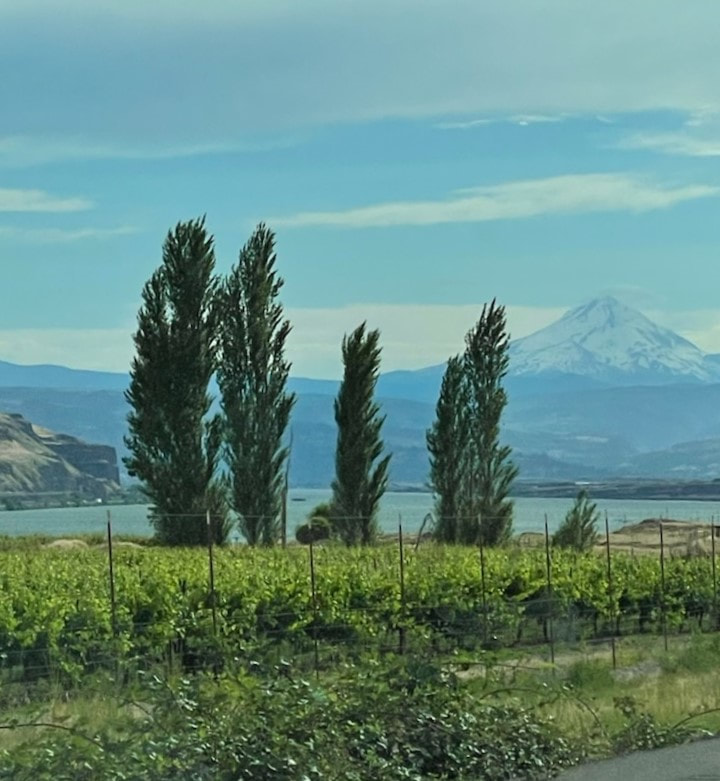
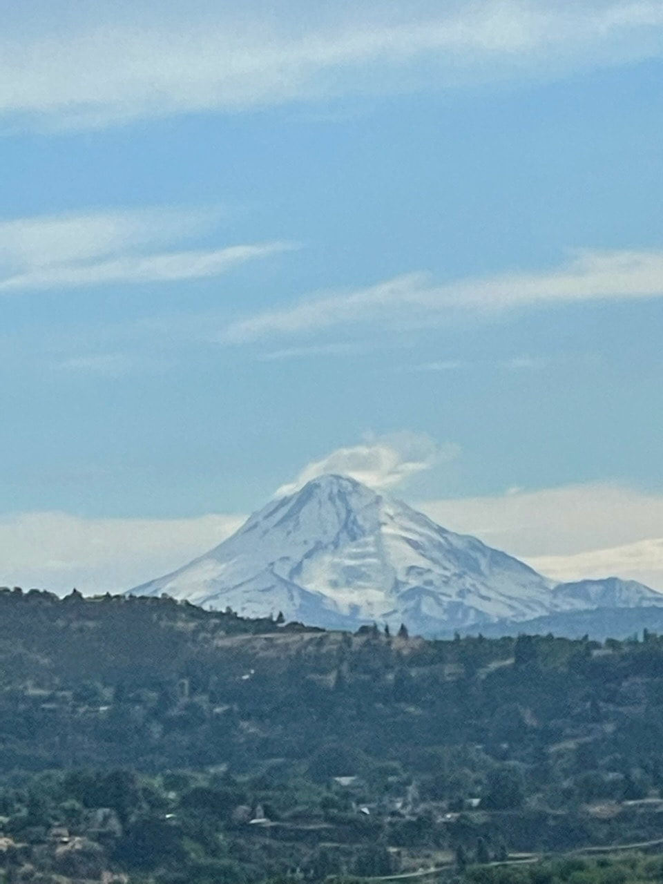
We finally got a much anticipated reservation for the Petroglyph tour at Columbia Hills State Park. They start early to beat the heat (9am is early for me when I have a couple hours' drive to get there--we were warned to include extra time for roadwork or other delays). Tours last up to 2 hours, and that left us time to explore more of Maryhill a little further east on Hwy 14. Columbia Hills State Park There are 4 roads off Hwy 14 in the Columbia Hills State Park, listed west to east: 1. Dalles Mtn Ranch--trails, historic buildings, vehicle, fantastic views of Mt Hood on the way back to Hwy 14 2. Columbia Hills Historical State Park/Horsethief Lake--picnic, camp, boat launch, petroglyphs, etc. 3. Horsethief Butte Trailhead--trail & rock climbing, interpretive sign, vault toilet 4. Crawford Oaks Trailhead--trails, sheltered picnic tables, vault toilet Dalles Mtn Ranch Hardly off Hwy 14 a sign announces 3 mi to get to Dalles Mountain Ranch, just as the road turns to dirt/gravel, winding washboards. I kept going and going up into the hills (losing sight of the river and Mt Hood), but when I finally got to a fork in the road, wasn't sure which way to go, and after choosing left (because to the right looked like someone's ranch), I saw another sign for another mile to get somewhere, and I decided it was time and opportunity to turn around. From the map I see if I'd gone a bit further on the right hand of the fork I would have come to the Dalles Mountain Ranch Trailhead. Apparently that ranch is historic, not a currently working one. The excellent views of Mt Hood are breathtaking as you drive back down to Hwy 14. Columbia Hills Historical State Park/Horsethief Lake Family & group friendly place to spend the day(s). Rows of trees planted as windbreaks gives one clue about the area. While the day-use area has green well-watered great grassy areas, the golden hills interrupted by abrupt rocky outcrops give another clue about the climate. It can get very hot. Further down the road from the picnic/campground is the parking for the petroglyphs. There are petroglyphs you can see right by the gravel parking, but if you want to join the ranger-guided tour to see the celebrated "She Who Watches", register ahead early. It's a hike, inaccessible to wheelchairs and perhaps a bit strenuous for those who don't hike regularly. The gravel parking is not wheelchair friendly--the large, rounded rocks are deeply spread. Beyond that parking area, across the RR tracks is a small almost unimproved boat launch (parking not allowed, drive back across the tracks to park). There are pay stations at all the parking areas. More than one ranger assured me that with a handicapped placard/plate there is no parking fee. Horsethief Butte Trailhead Crawford Oaks Trailhead Views from Hwy 14 west of Columbia Hills Historical State Park Maryhill Museum & State Park, and Stonehenge Replica & War Memorial Maryhill Museum of Art--an eclectic collection of the arts and history
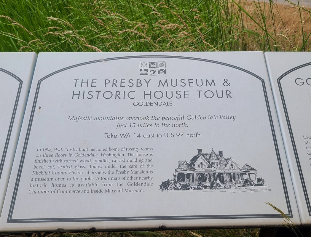
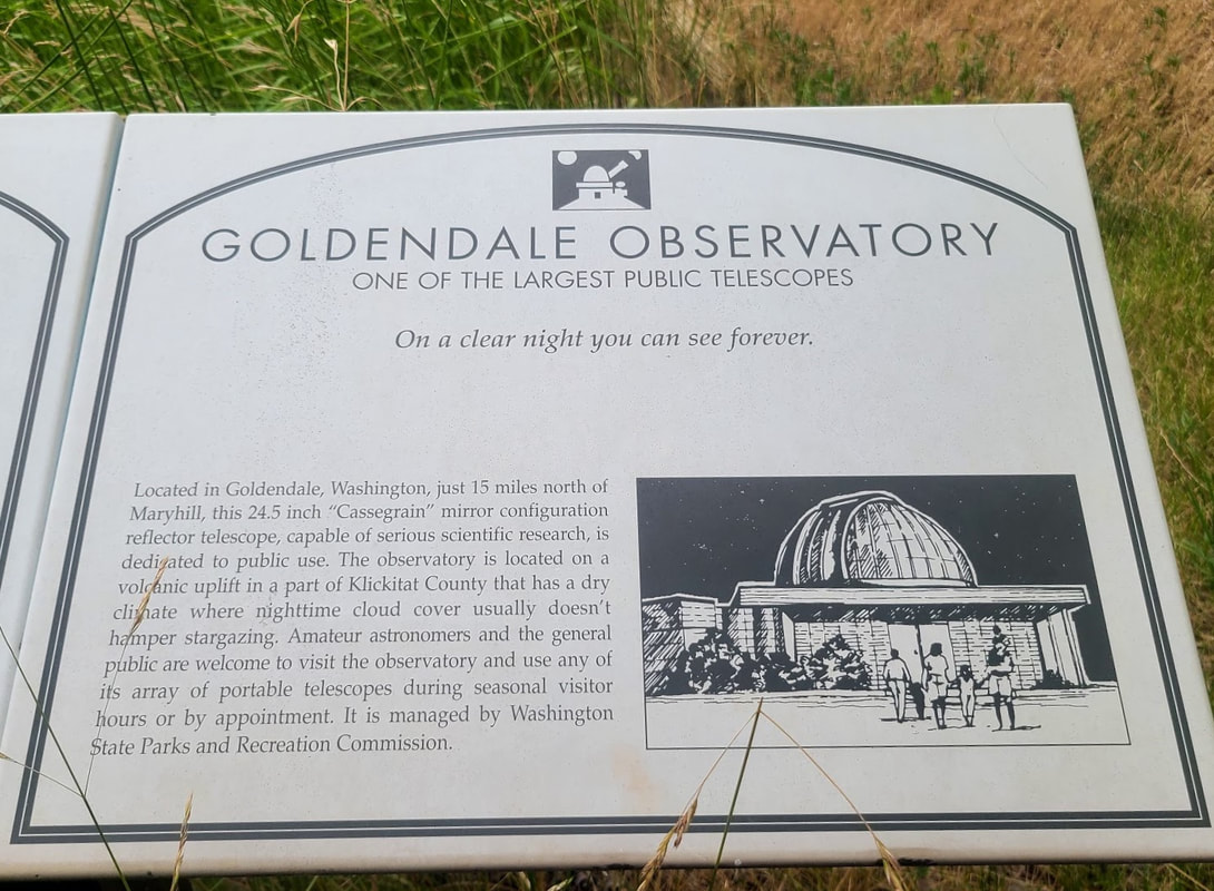
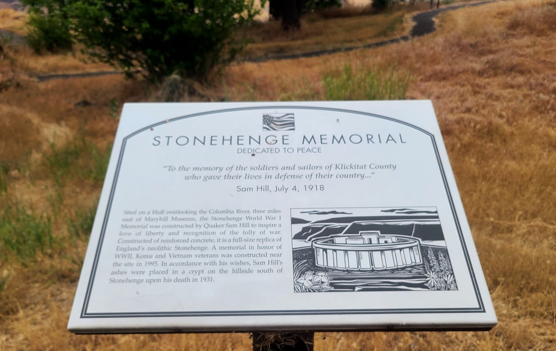
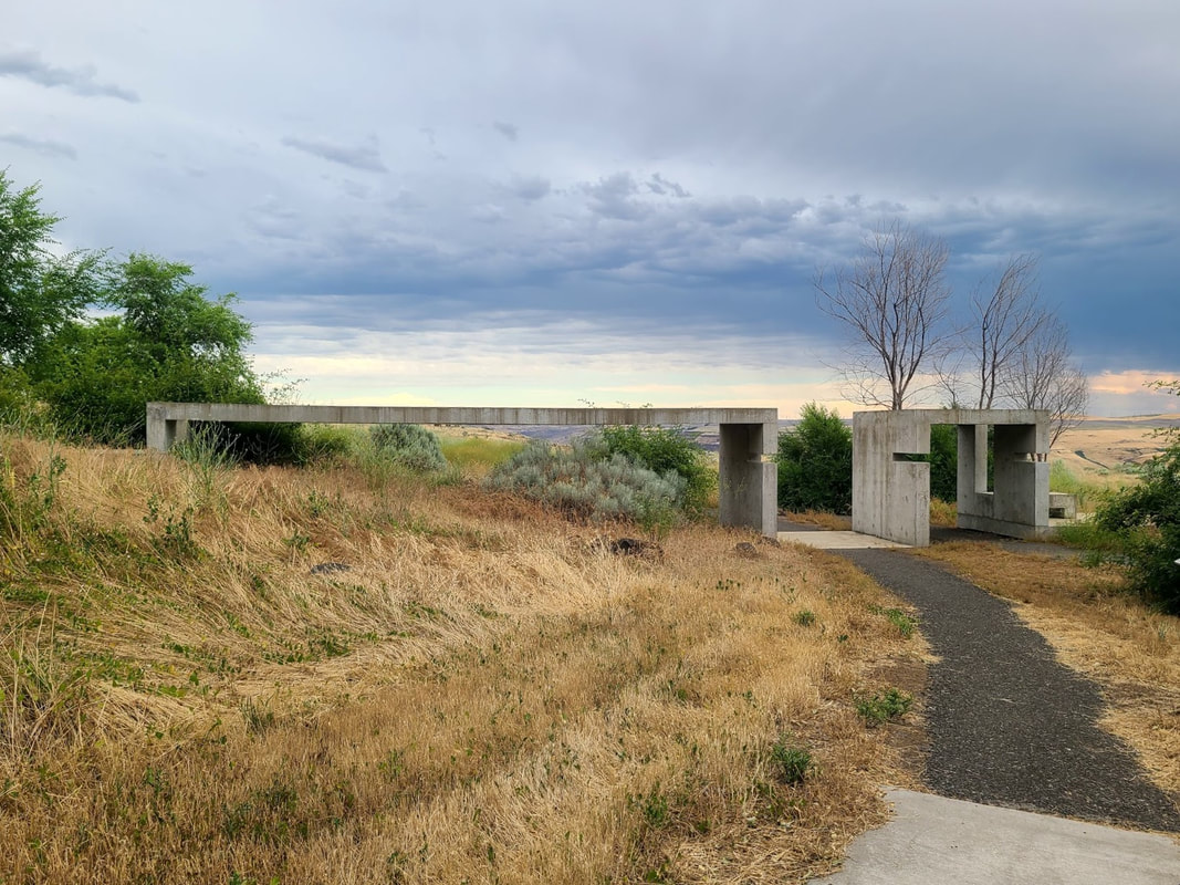
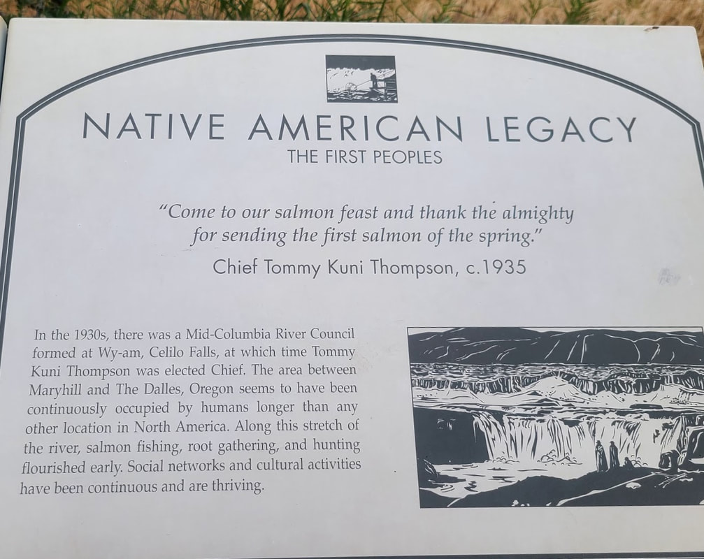
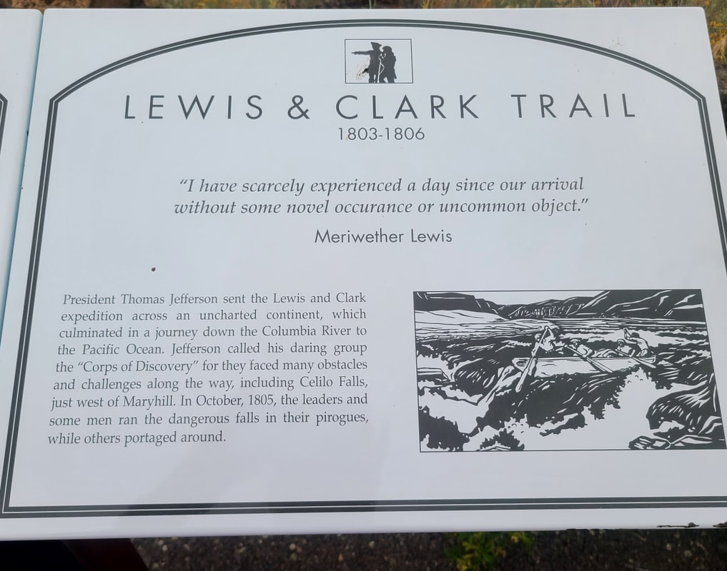
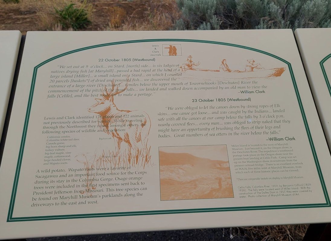
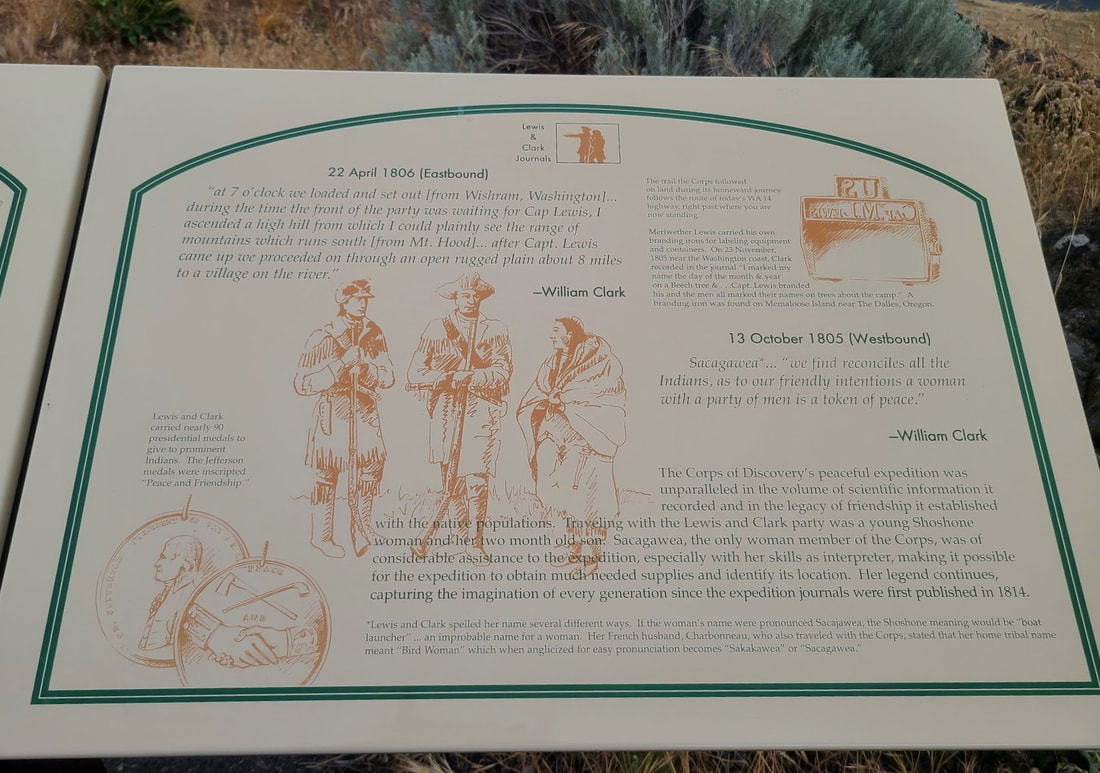
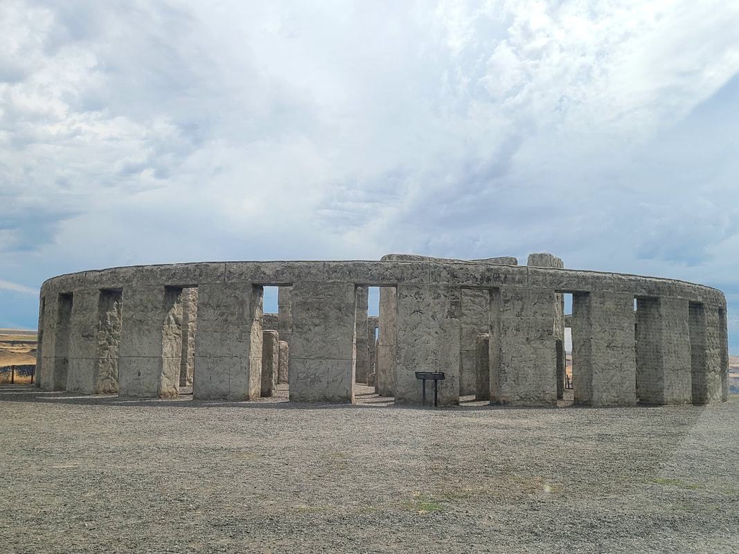
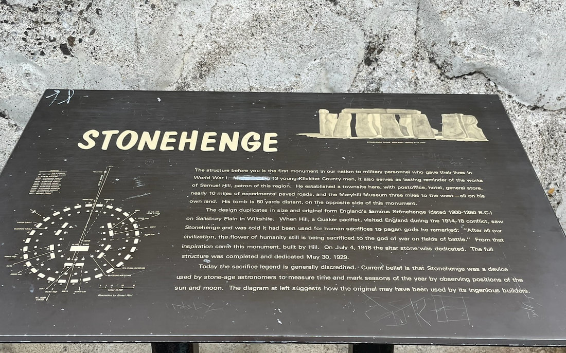
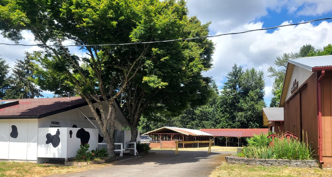
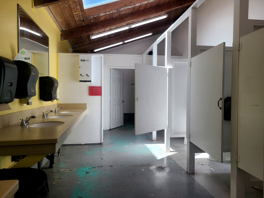
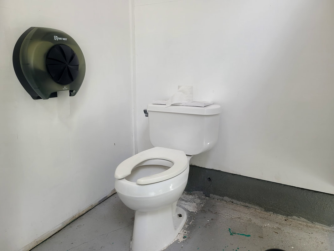
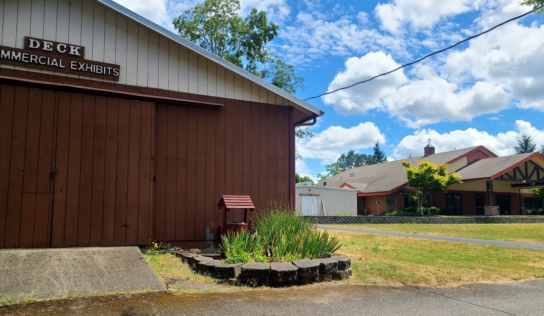
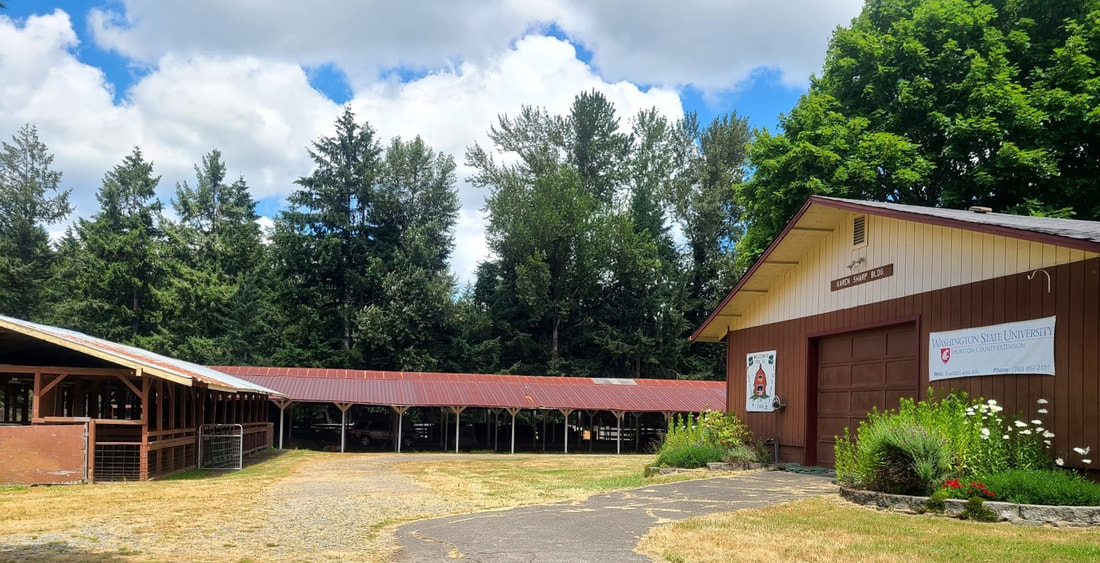
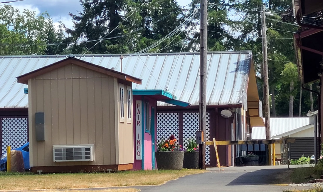
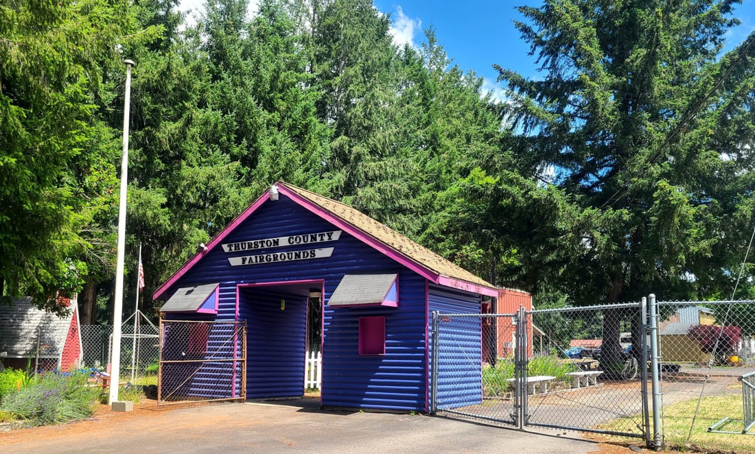
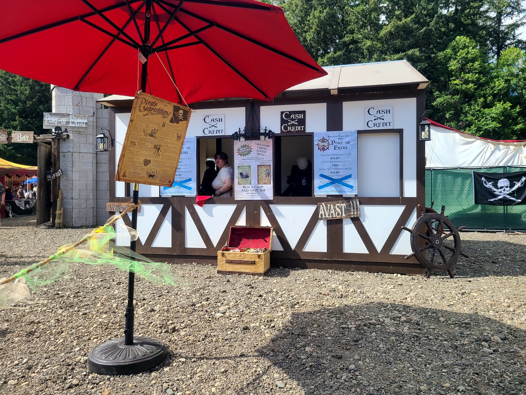
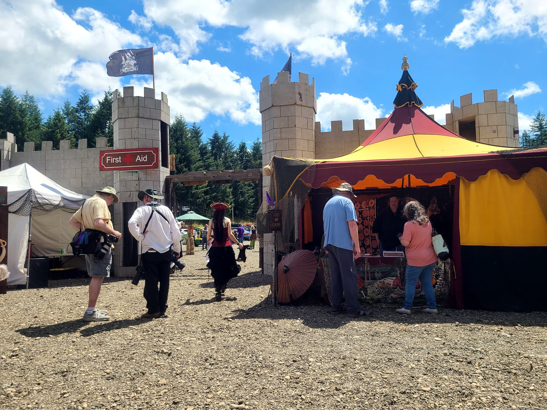
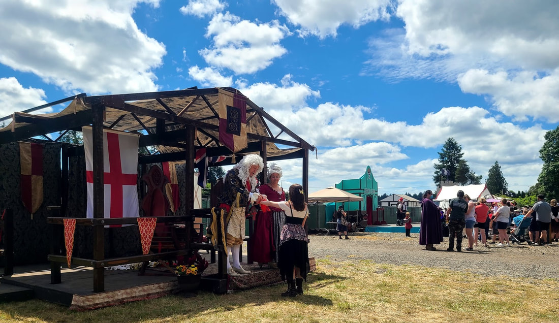
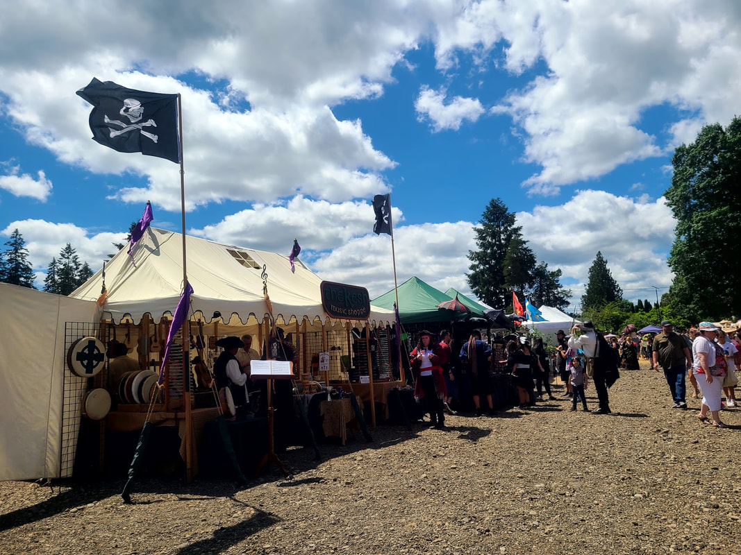
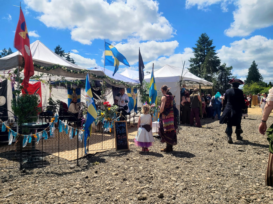
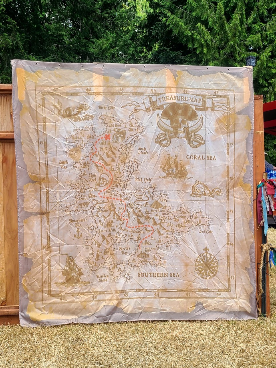
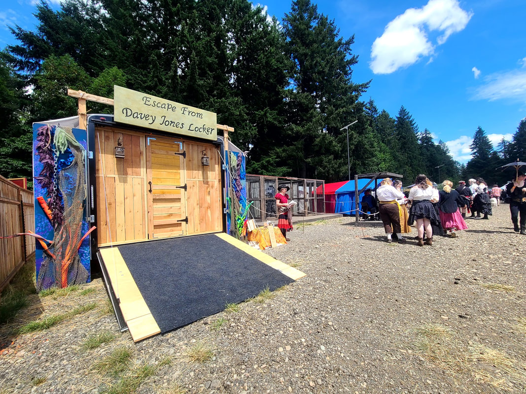
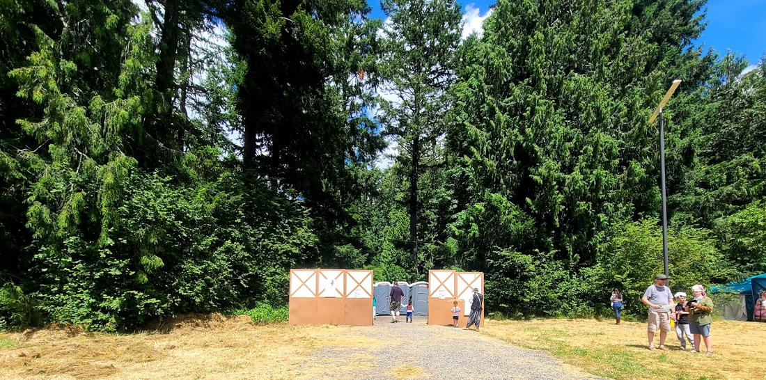
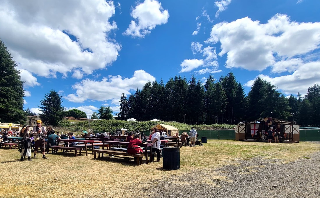
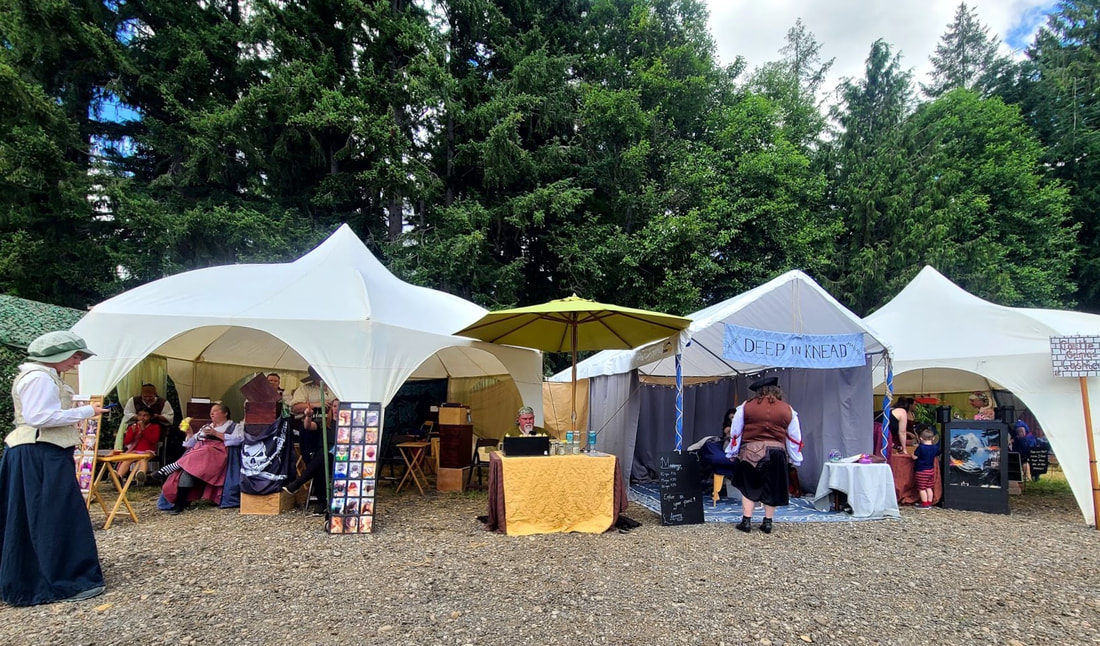
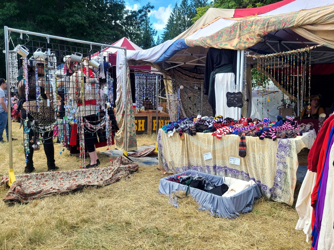
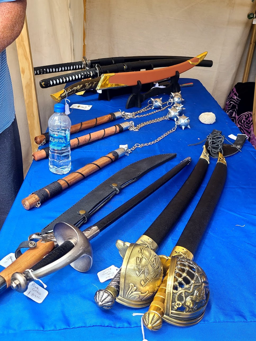
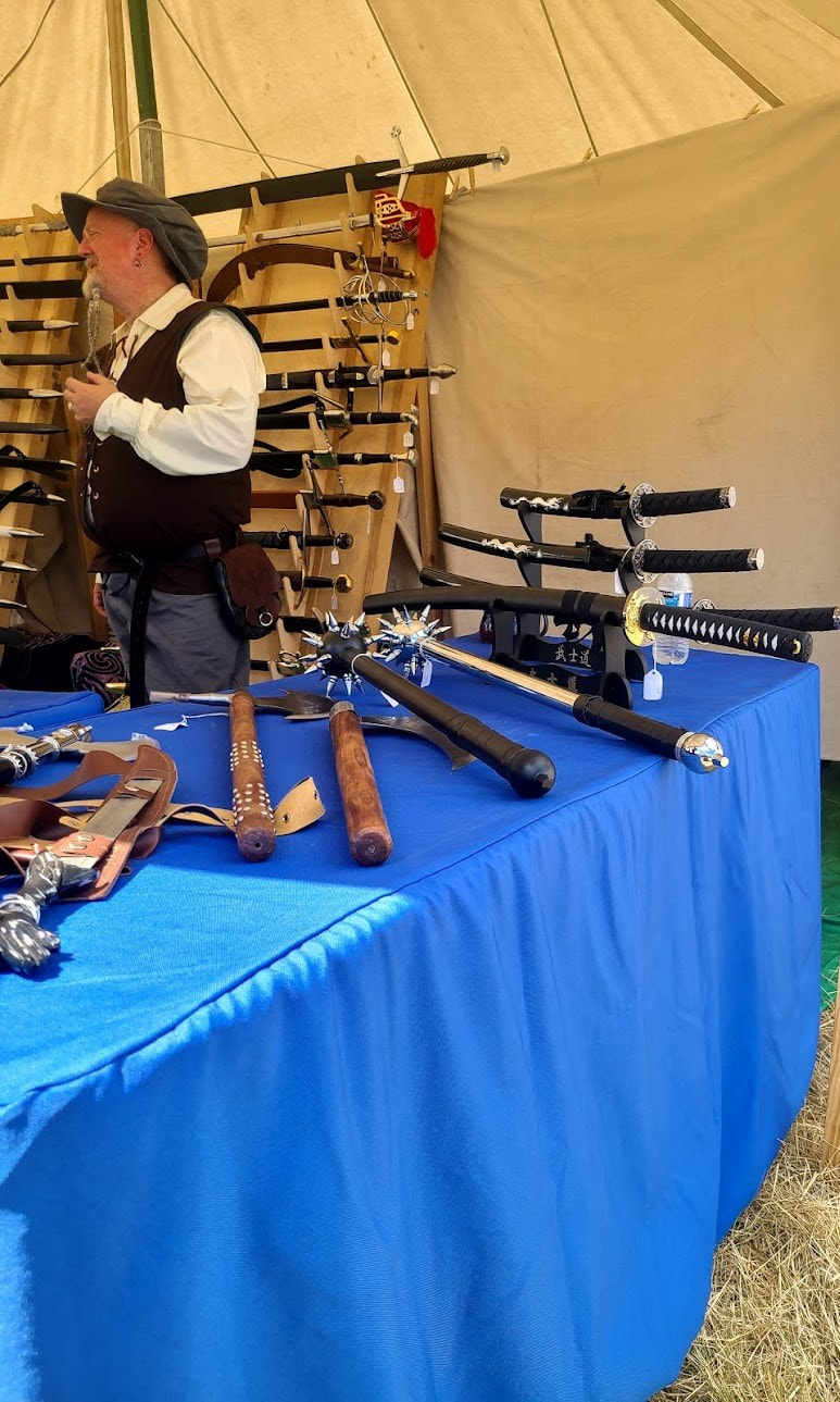
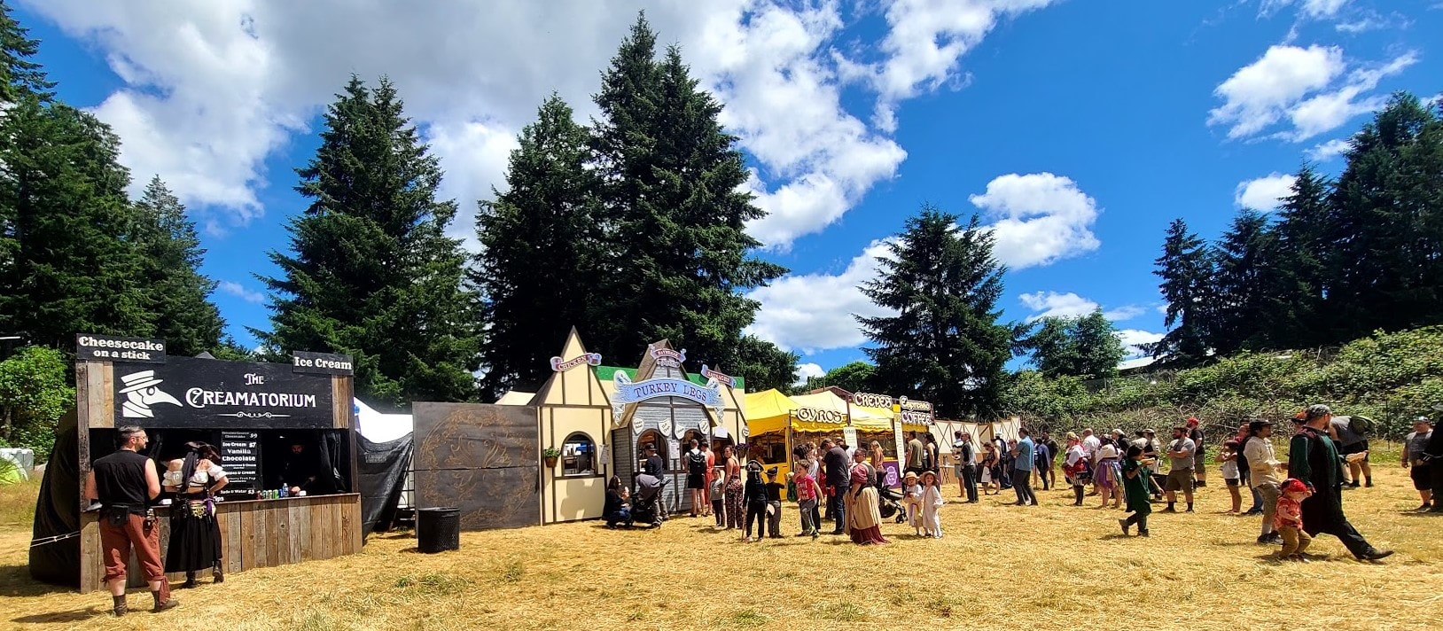
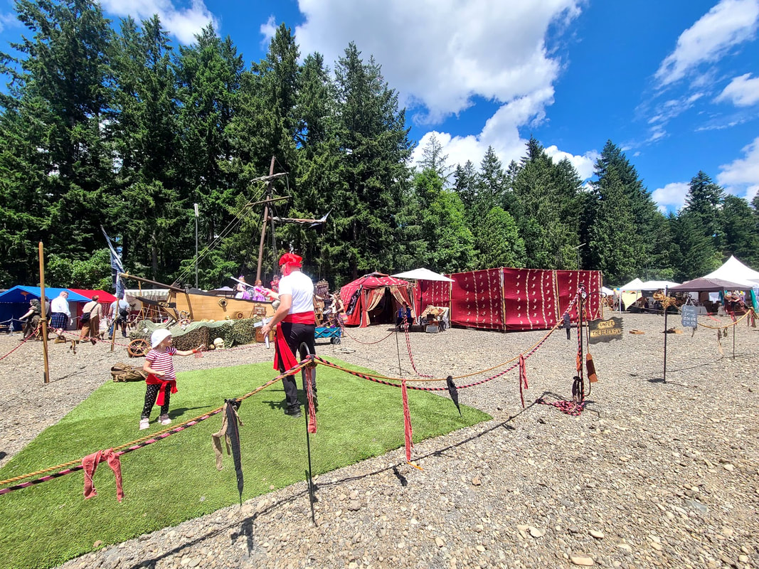
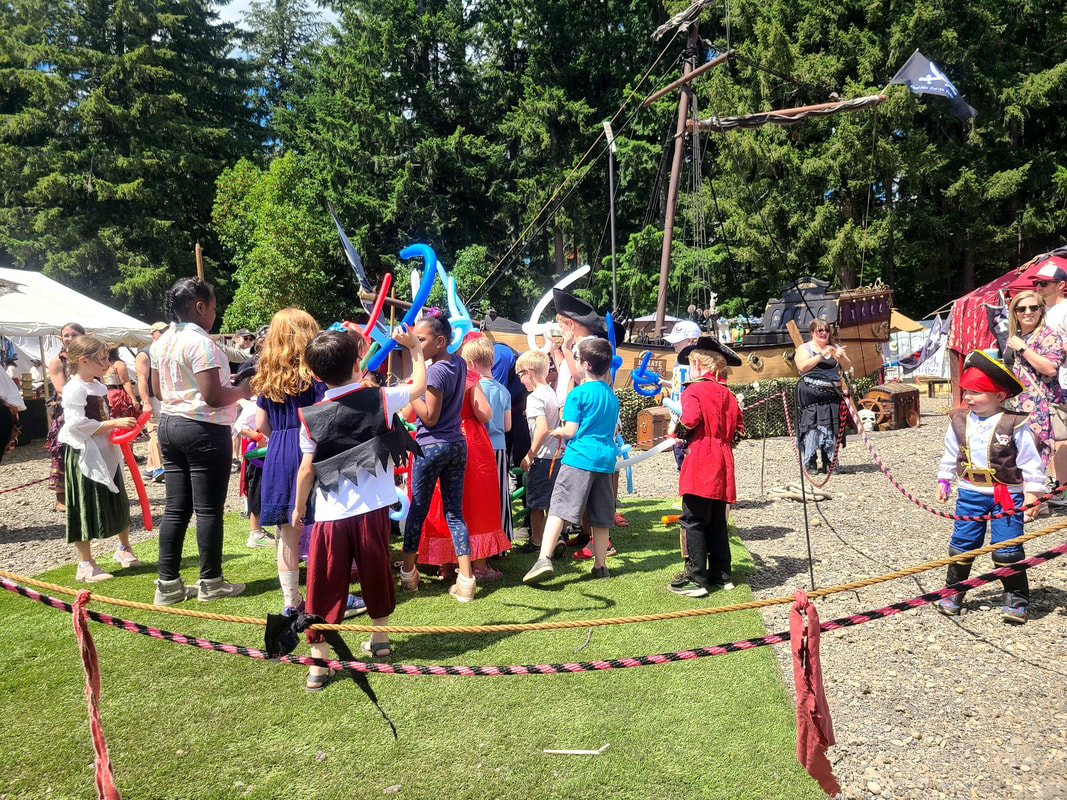
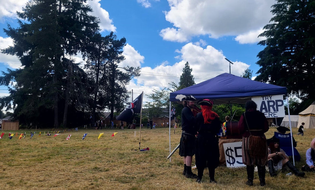
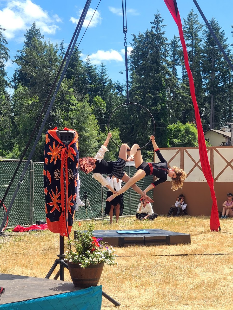
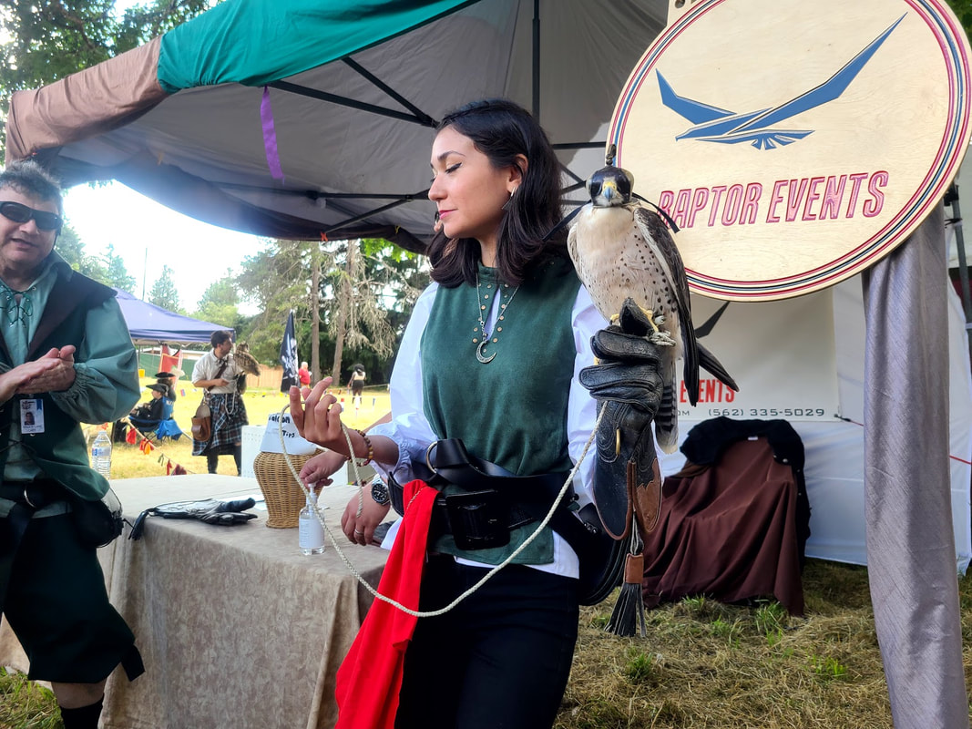
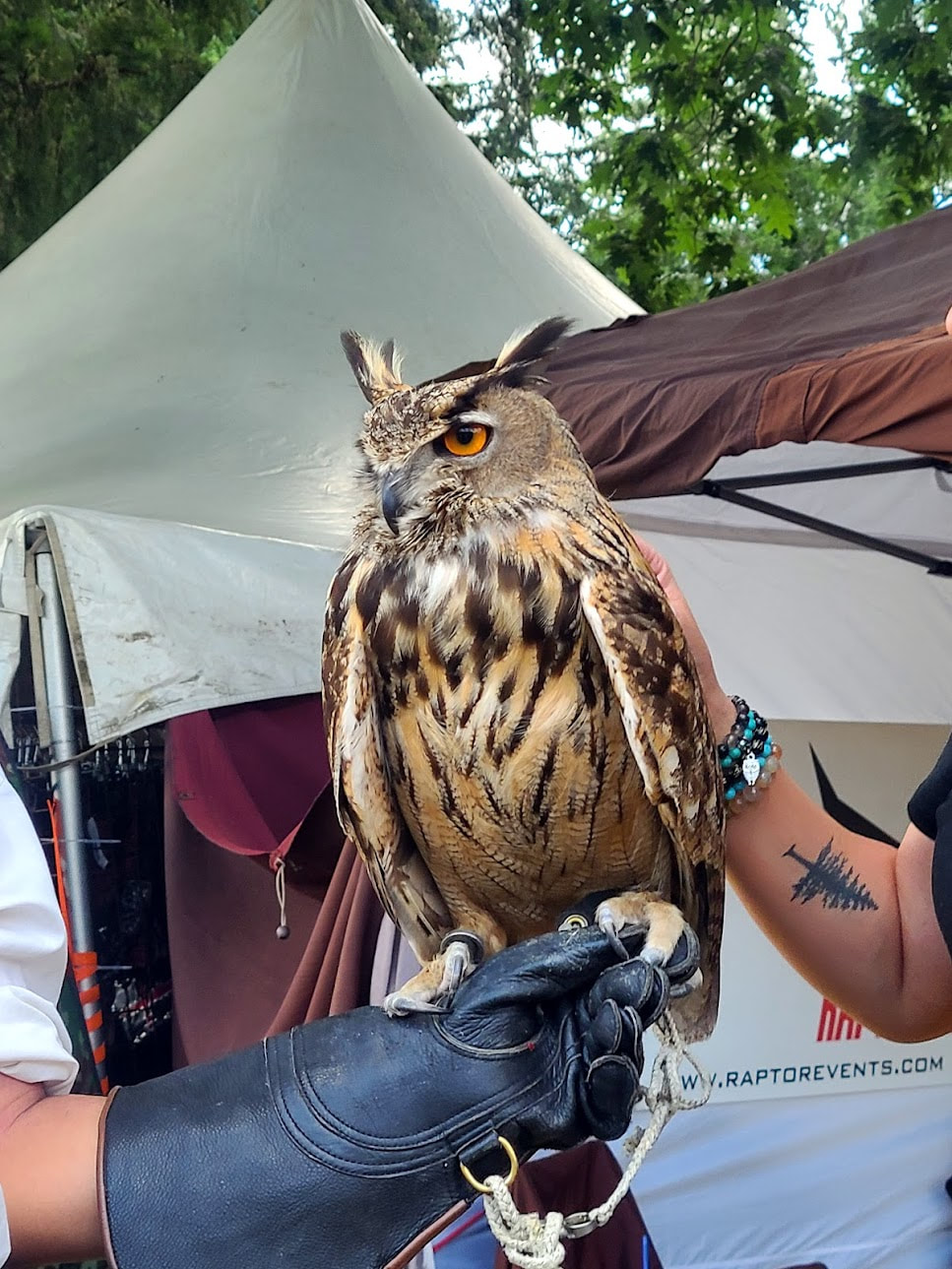
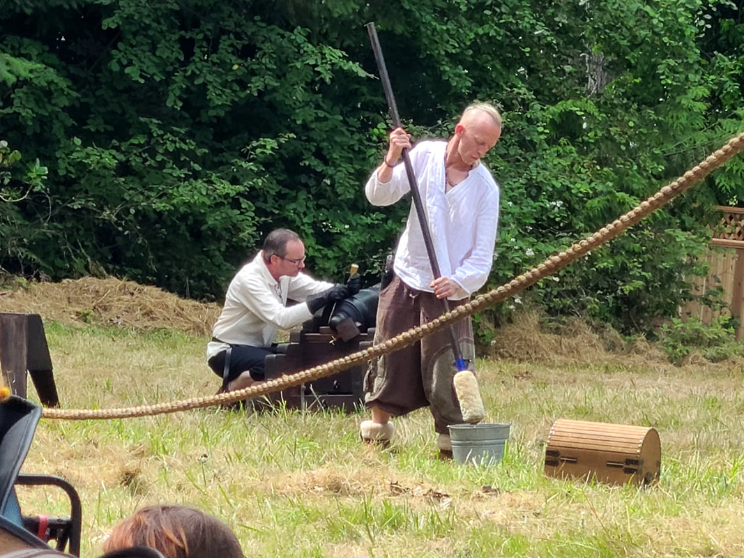
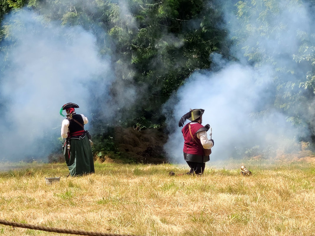
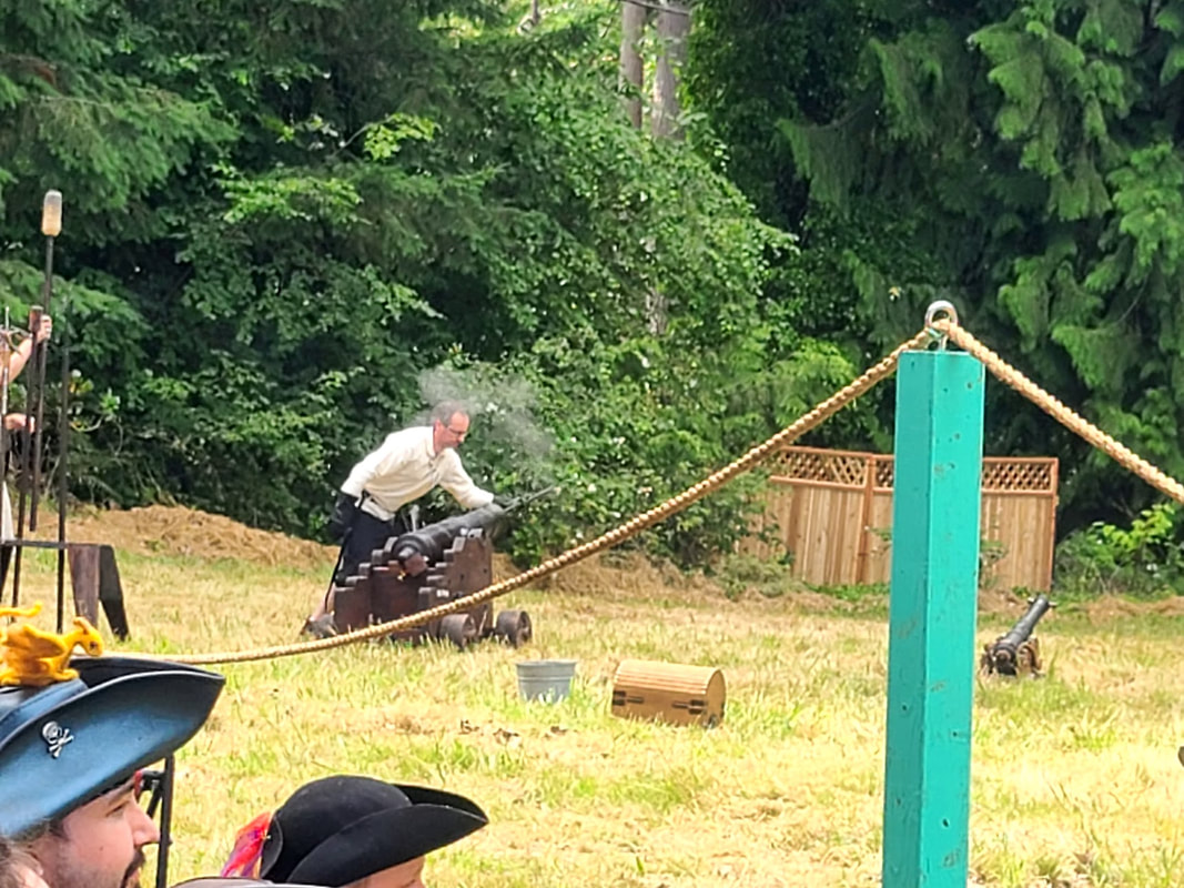
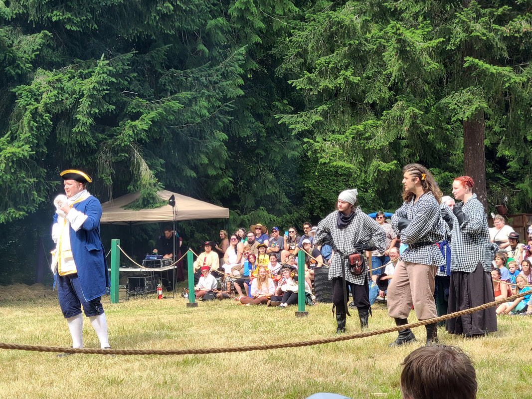
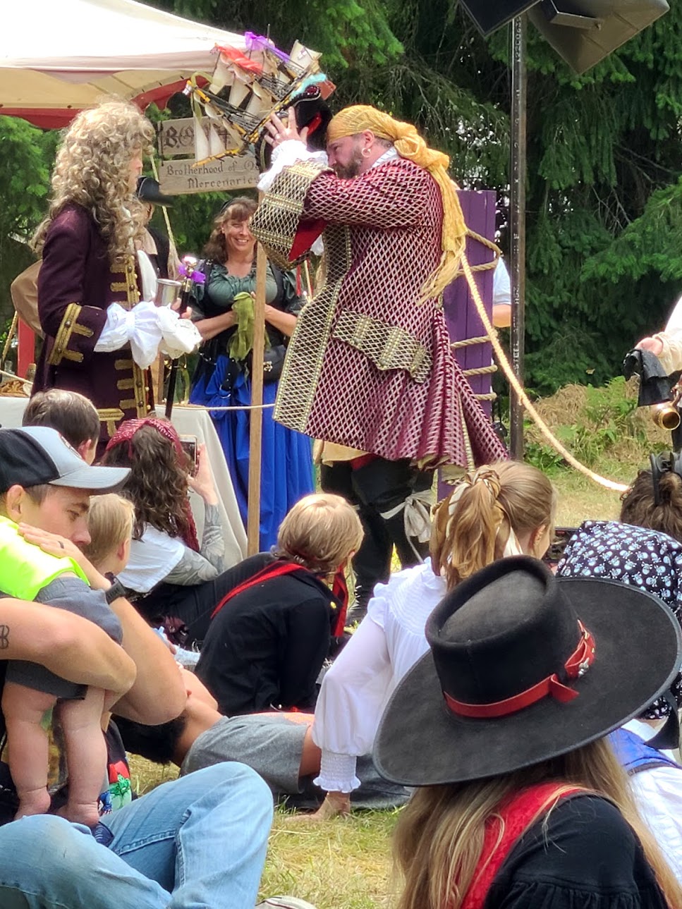
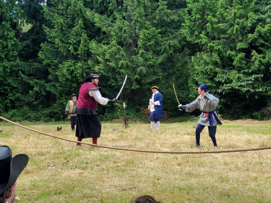
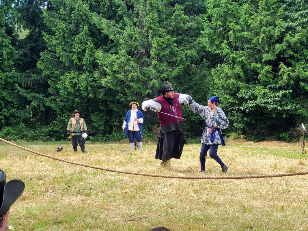
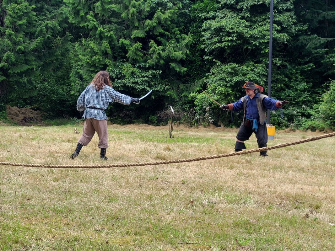
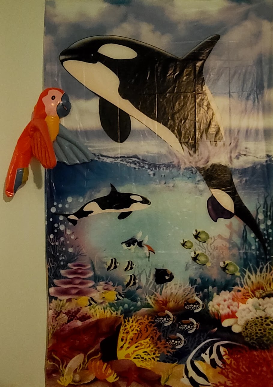
A walk east along/above the Columbia River at Maryhill Museum of Art Views and interpretive signs, including info about the region, its history, Native Americans, & Lewis & Clark ... photos courtesy Juli Spruill. Stonehenge Replica, War Memorial "Stonehenge . . . the first monument in our nation to military personel who gace their lies in World War I. Memorializing 13 young Klickitat County men, it also serces as lasting reminder of the works of Samuel Hill, patron of this region. He established a townsite here, with post office, hotel, general store, nearly 10 miles of experimental paved roads, and the Maryhill Museum three miles to the west--all on his own land. His tomb is 50 yards distant, on the opposite side of this monument. "The design duplicates in size and original form England's famous Stonehenge (dated 1900-1350 BC) on Salisbury Plain in Wiltshire. When Hill, a Quaker pacifist, bisited England during the 1914-1918 conflict, saw Stonehenge and was told it had been used for human sacrifices to pagan gods, he remarked: "After all our civilization, the flower of humanity still is being sacrificed to the god of war on fields of battle." From that inspiration came this monument, built by Hill. On July 4, 1918 the altar stone was dedicated. The full structure was completed and dedicated May 30, 1929. "Today the sacrifice legend is generally discredited. Current belief is that Stonehenge was a device used by stone-age astronomers to measure time and mark seasons of the year by observing positions of the sun and moon. The diagram at left suggests how the original may have been used by its ingenious builders." Maryhill State Park WA--on the north side of the Columbia River, off Hwy 97 Day-use area has picnic tables & grills, water faucets, restrooms, group picnic shelters, swimming, boating, horseshoes, interpretive signs (including a brief bit about Lewis & Clark, and the Oregon Trail). Campground has group camp, group kitchen, restrooms/showers, water faucets, tent sites (including handicapped) & RV facilities. In season there are generally fruit stands in the area. Biggs OR (not big, basically a pit stop) is just over the river at the intersection of Hwy 97 and I-84, in case you need supplies, or, Goldendale WA is 15 mi north on Hwy 97. Photos courtesy Juli Spruill. Westward Home--what great views of Mt Hood! photos courtesy Juli Spruill 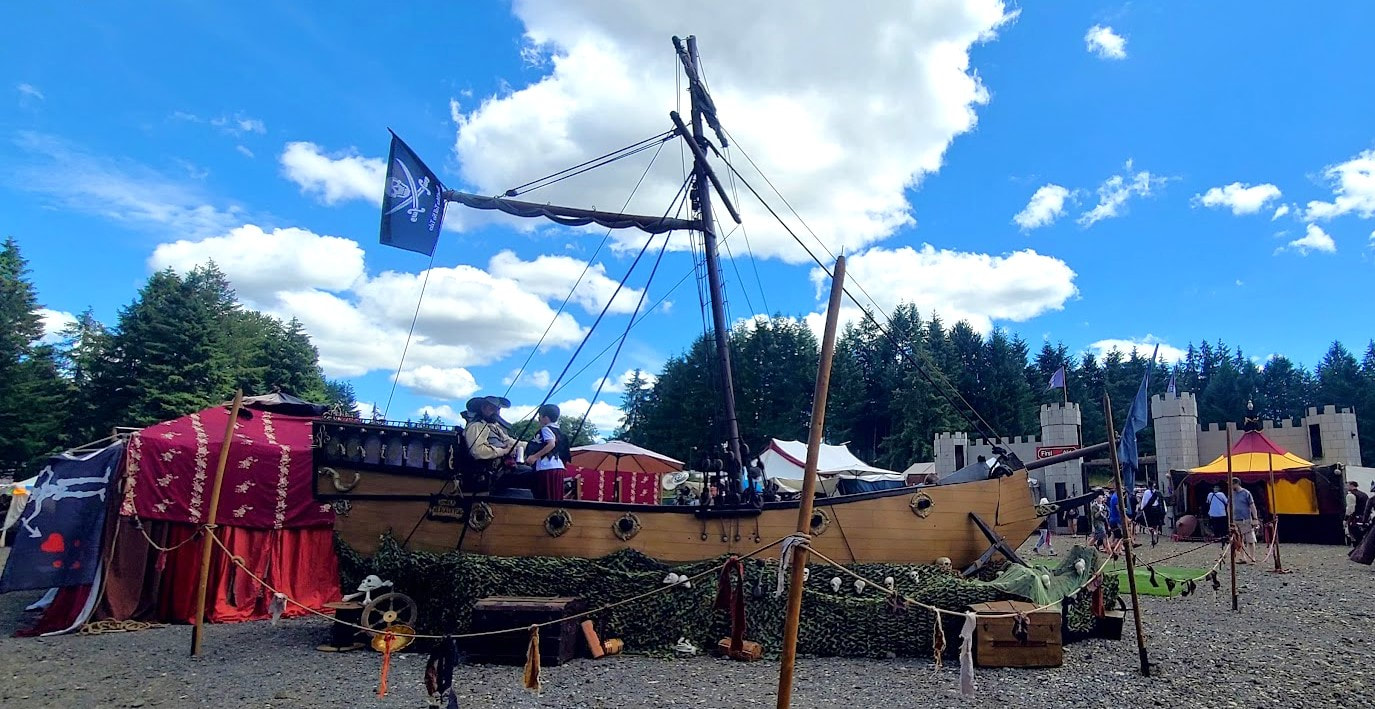 Pirate ship run aground! We followed the guidance of the Google Gal, and then the line of cars hoping to find parking at the Northwest Pirate Festival. It was after noon by the time we arrived from the Portland area, so parking was at a premium. We kept asking for disabled parking, and finally a guy showed us a spot through the employee gate where he said we could park. We made a side trip to the restroom, then down the paved road to the gravel parking and gate to the event below. Beside the parking, half the event was graveled with huge cobbles, so that it took vigilance as well as my motor to get me through the least worst parts. We saw some other disabled folk in wheelchairs, some manual, accompanied by care givers. I don't know how they managed. The Northwest Pirate Festival was held at the Thurston County Fairgrounds, 3054 Carpenter Rd SE, Lacey, WA 98503--between Long Lake and Hicks Lake. Long Lake Park is next to the Fairgrounds, Wanschers Park is on the west side of Hicks Lake. Both offer trails & picnicking, swimming offered at Long Lake Park, fishing at Wanschers Park. Woodland Creek Community Park at 6729 Pacific Ave SE, Lacey, WA 98503--west of Carpenter Rd, where you turn off Pacific Ave SE to get to the Fairgrounds--looks like a great family-friendly place with lots of amenities. Just past the entrance to Thurston County Fairgrounds is Boat Launch St, for the boat ramp on Long Lake.
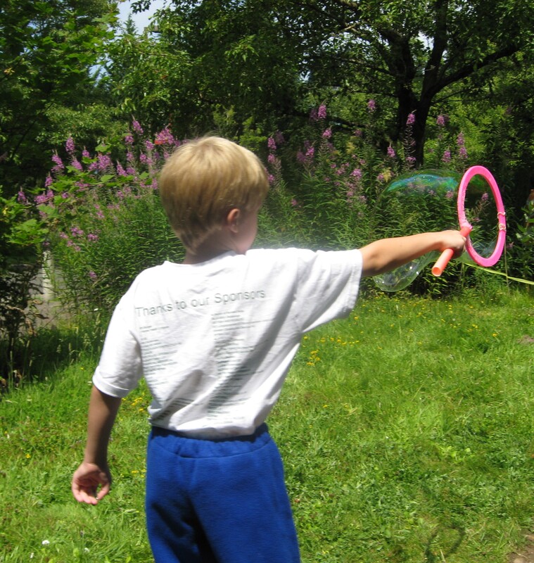
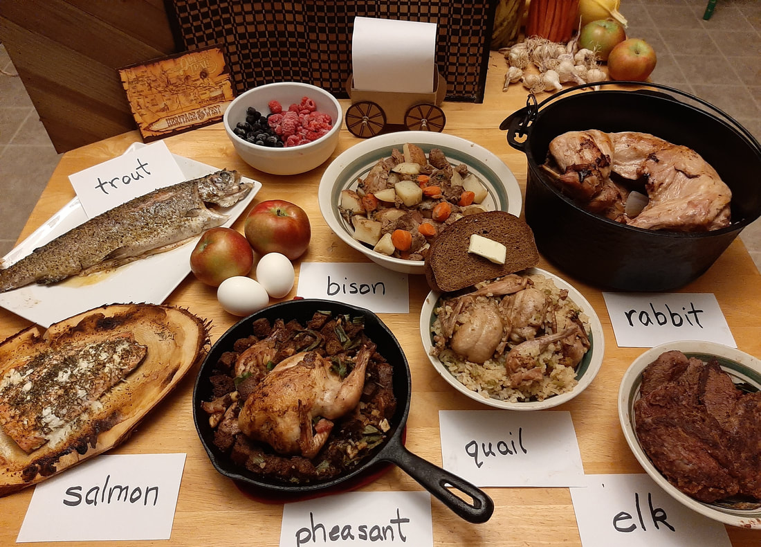
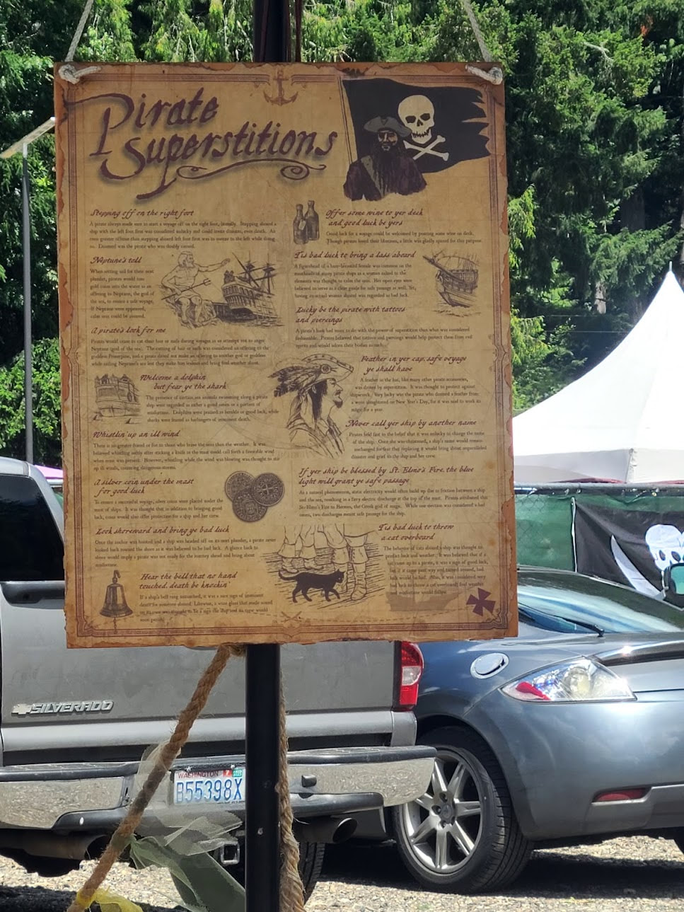
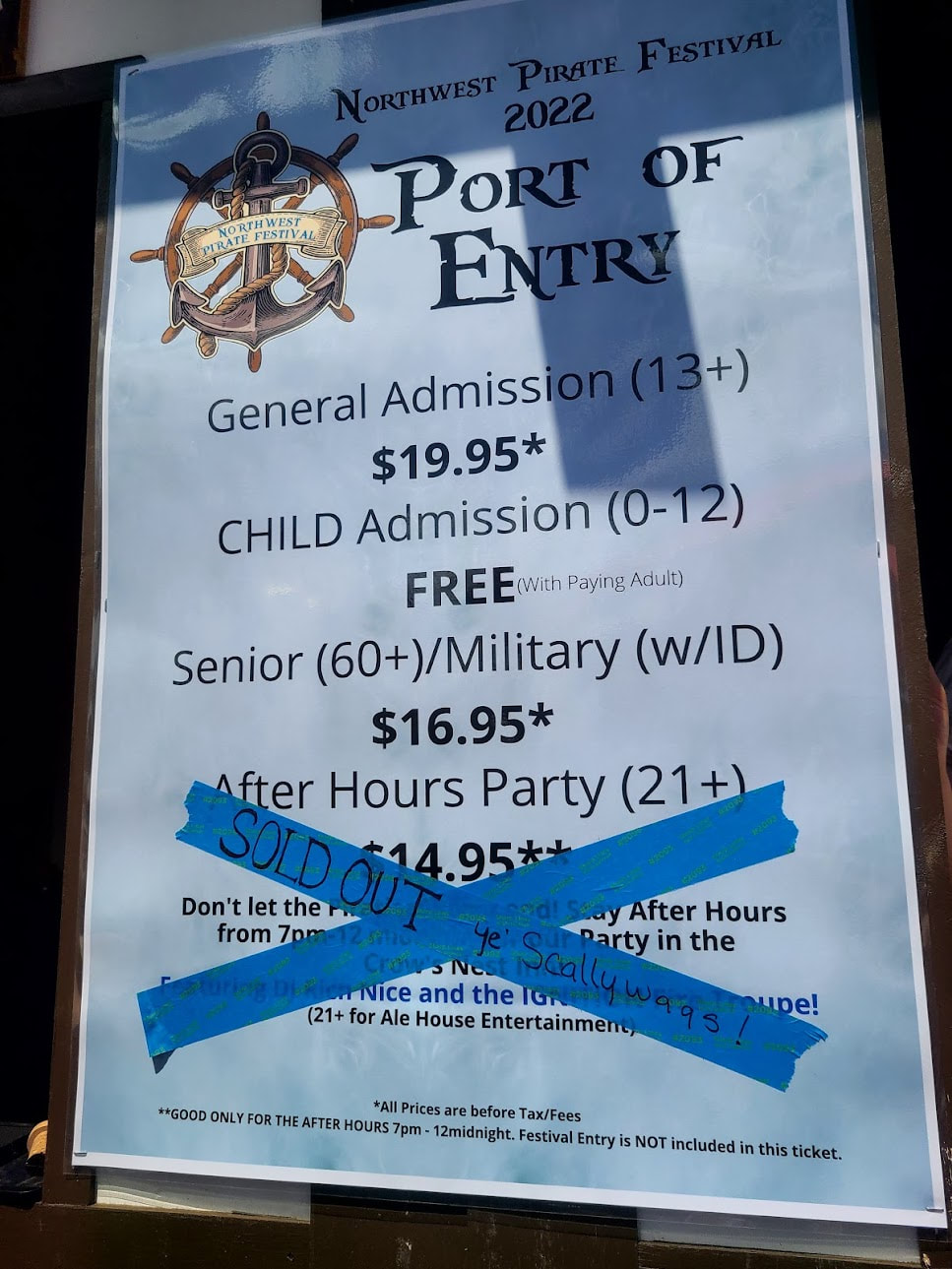
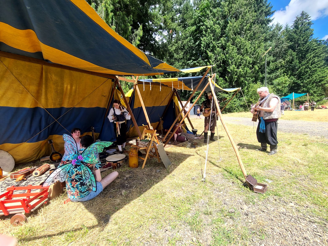
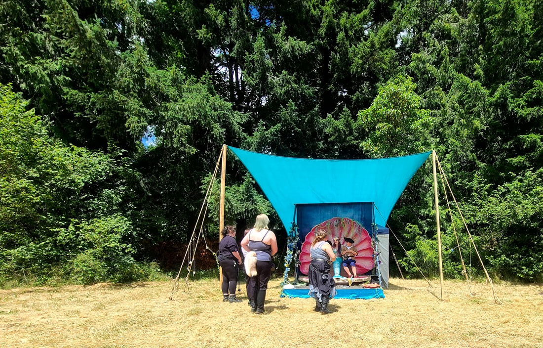
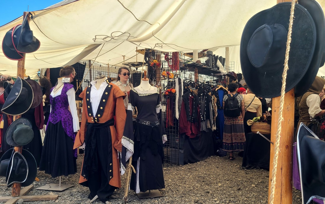
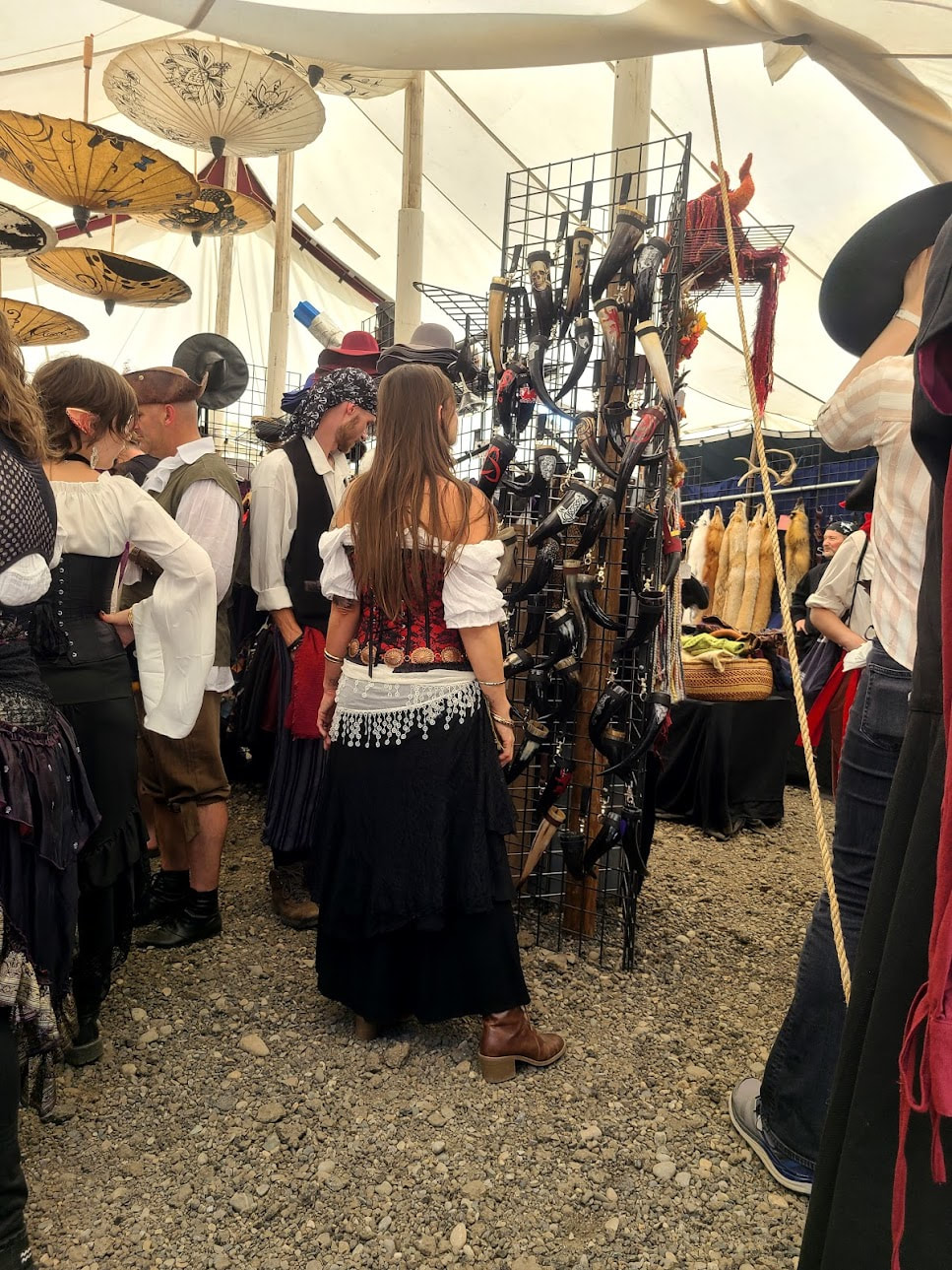
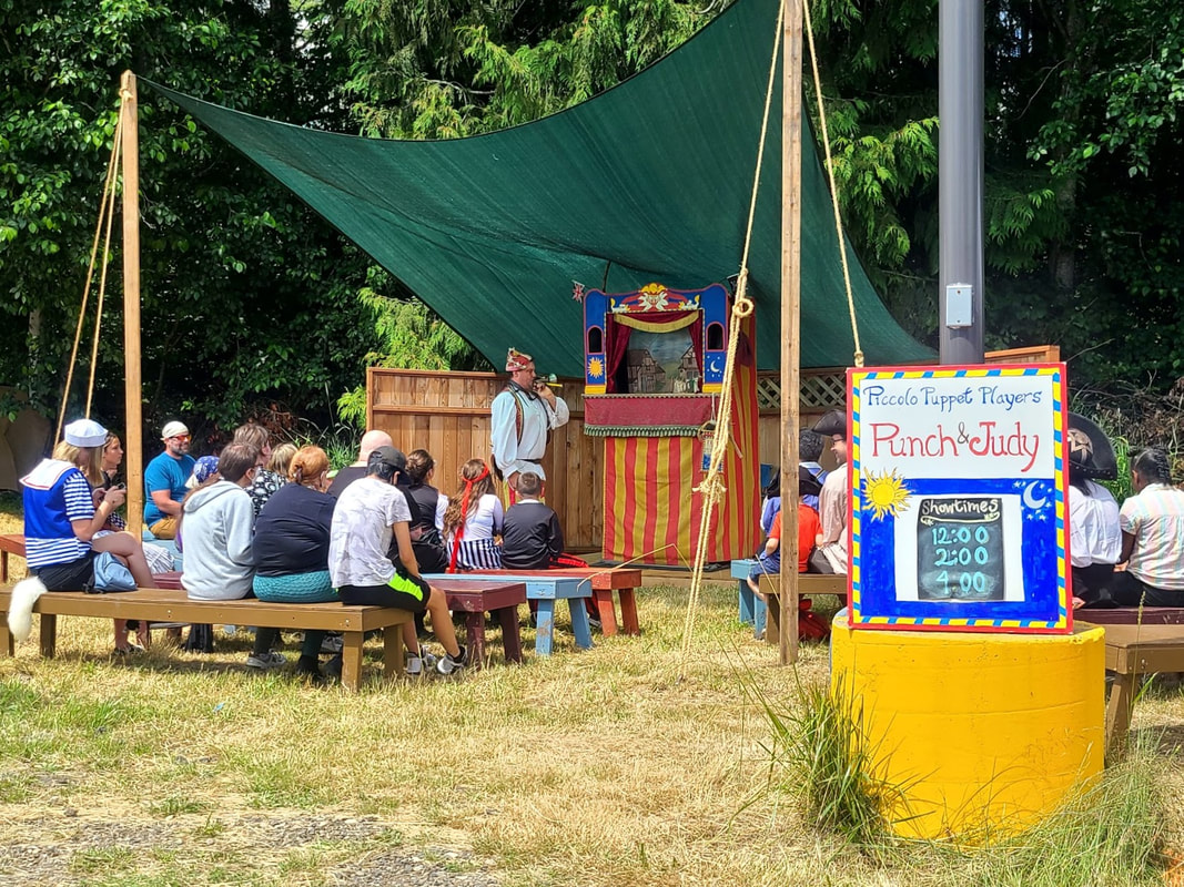
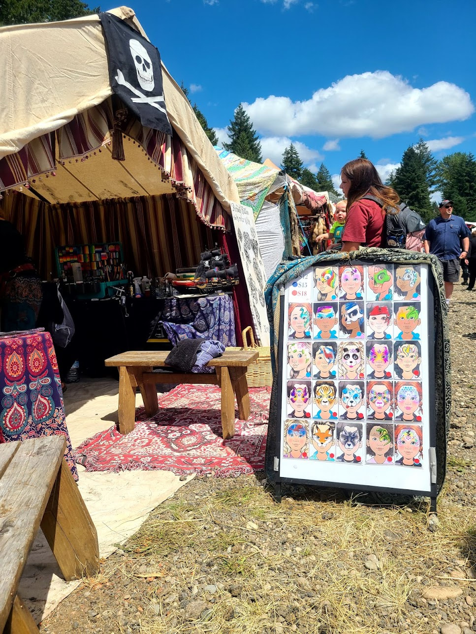
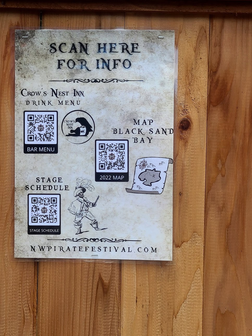
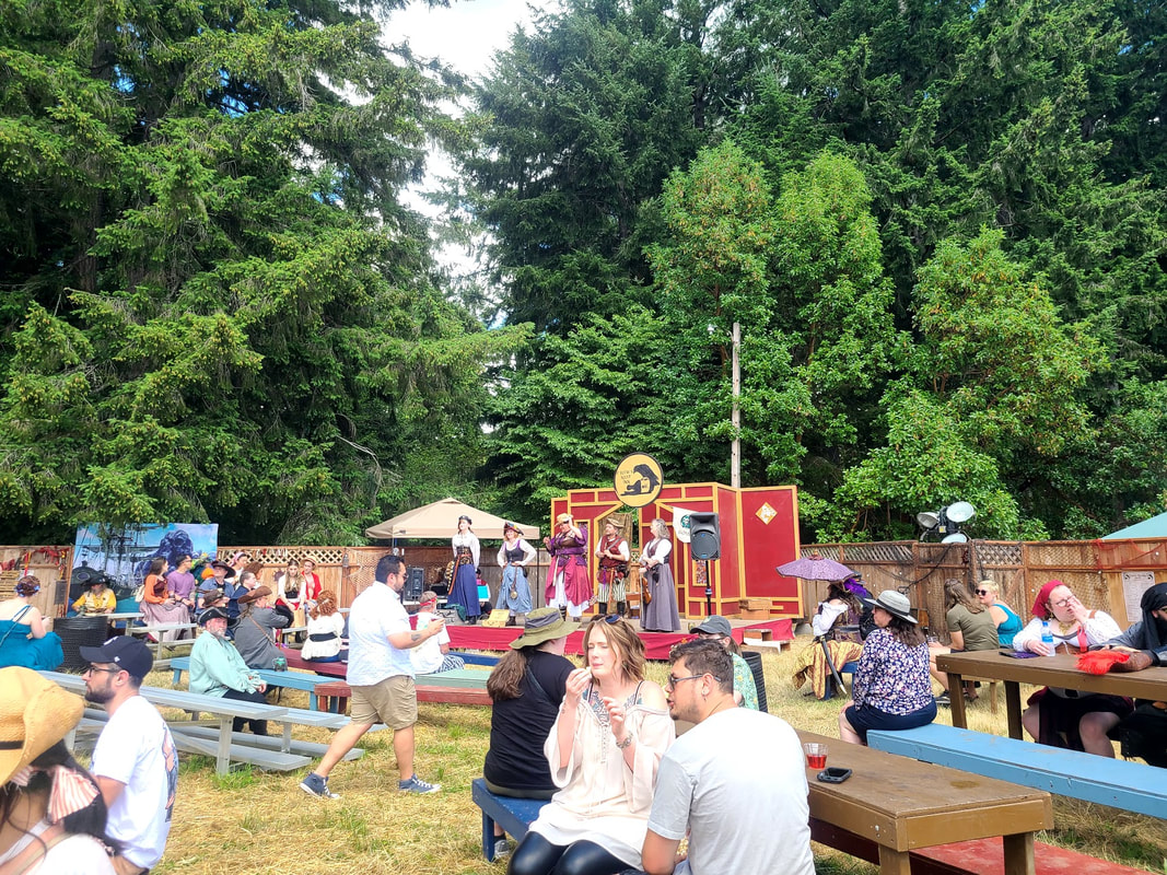
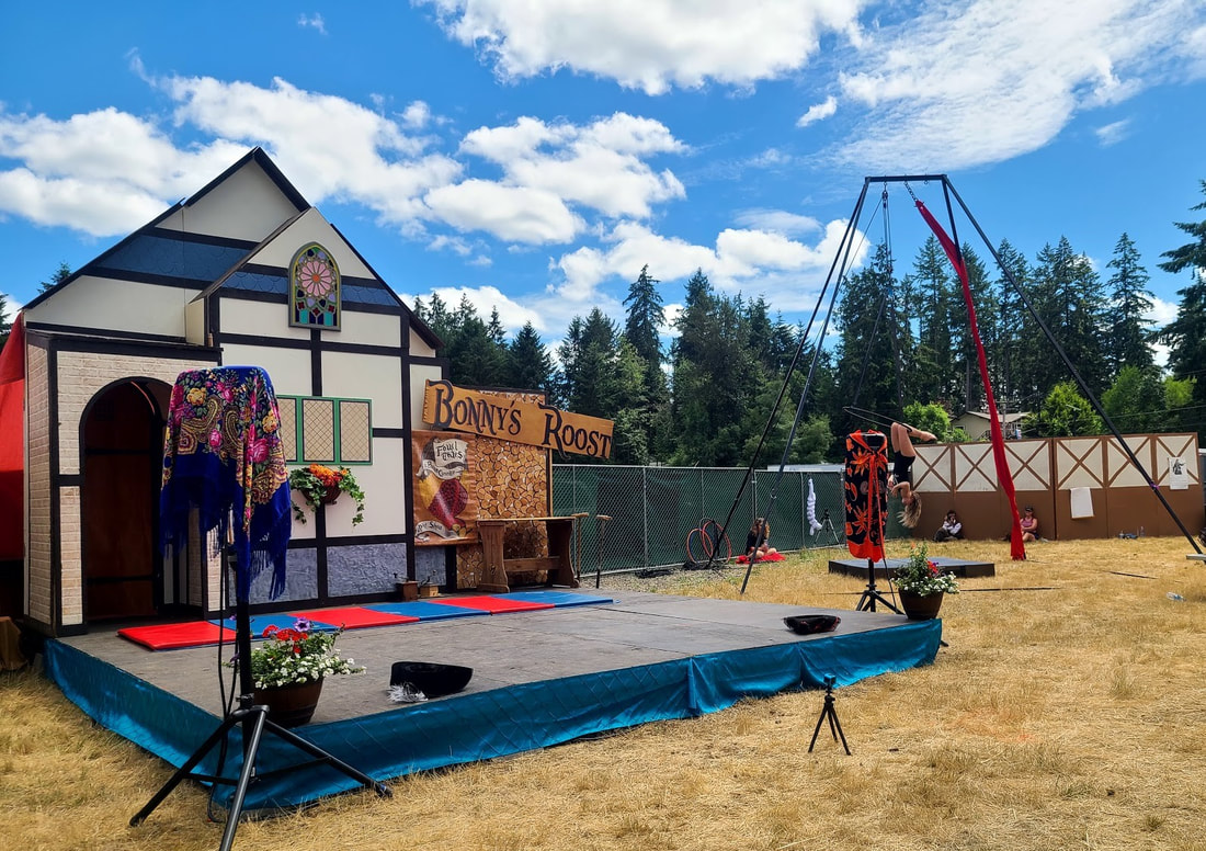
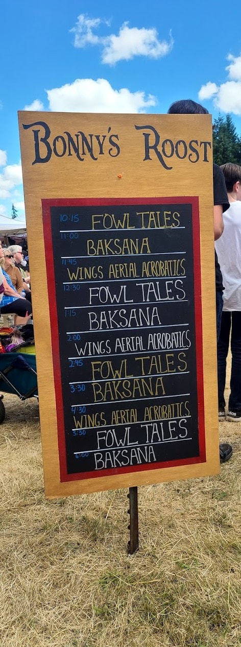
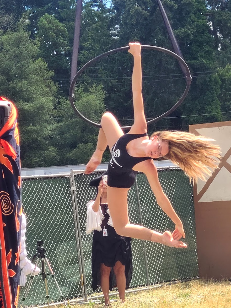
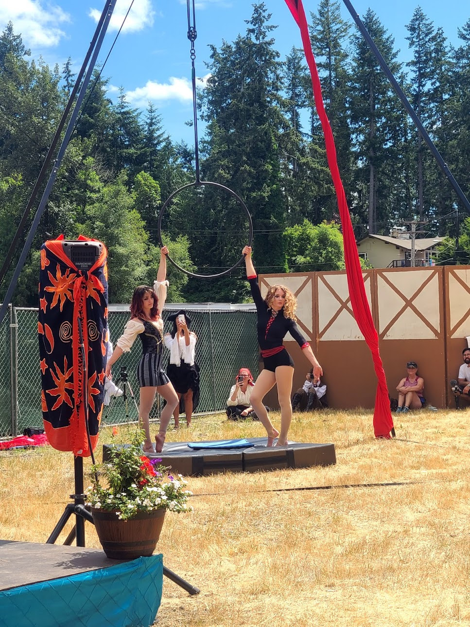
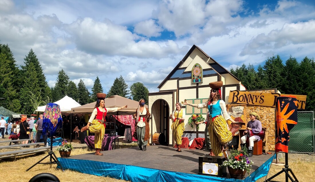
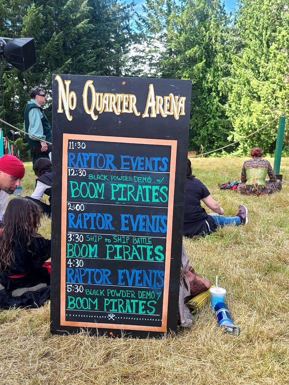
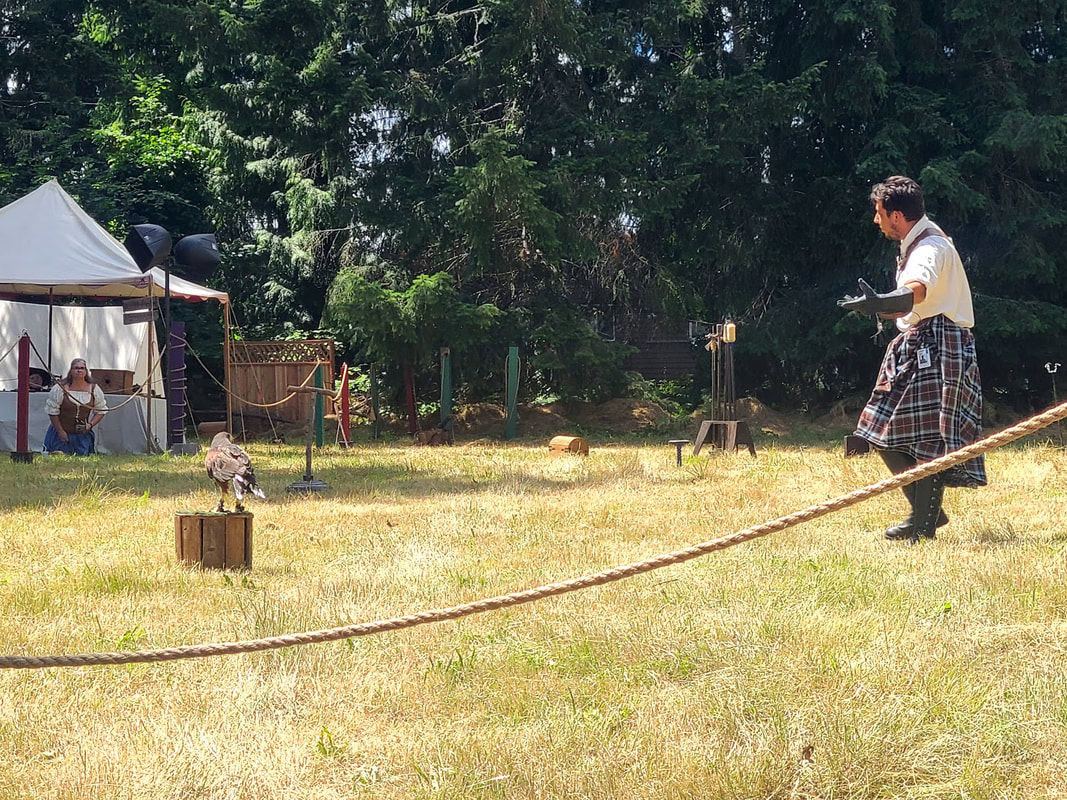
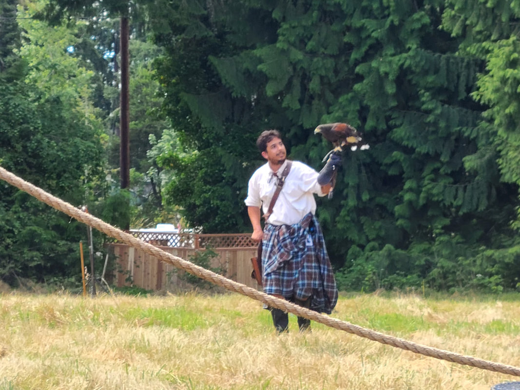
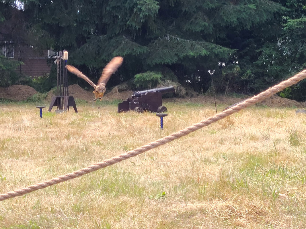
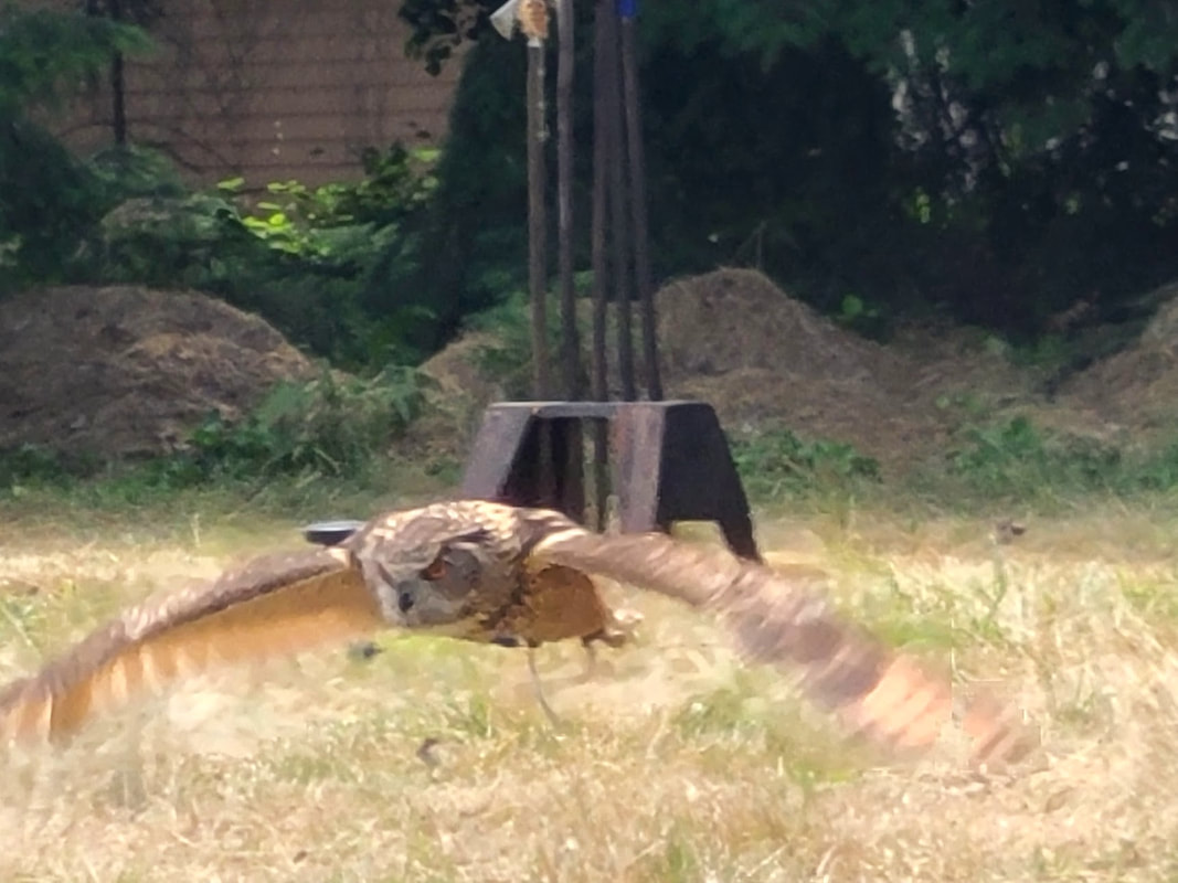
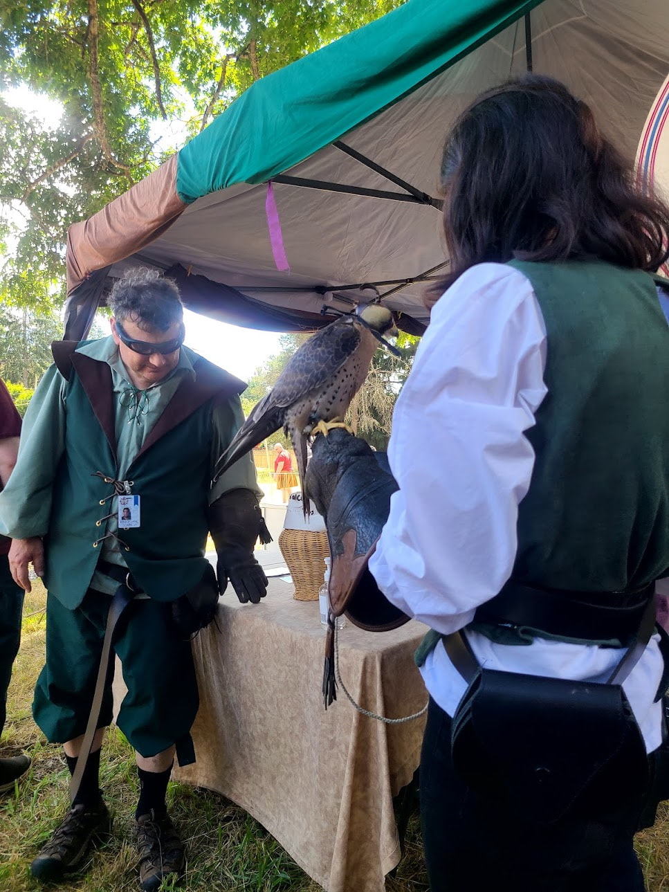
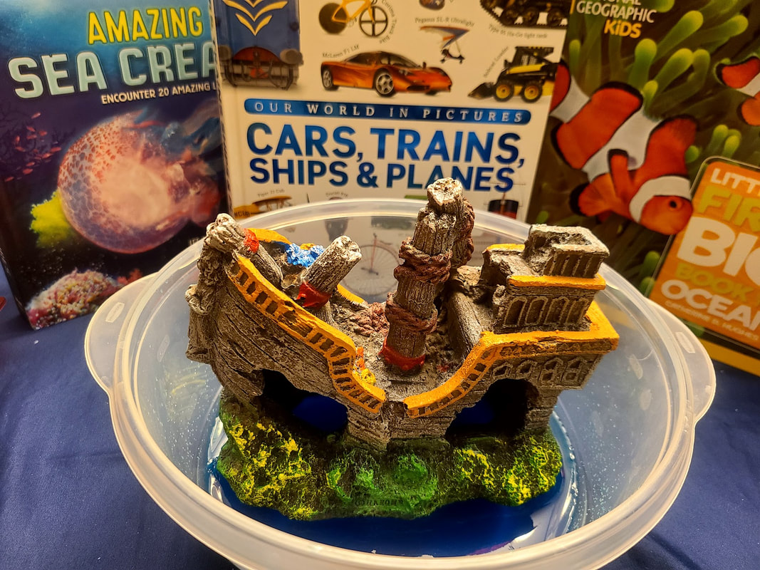
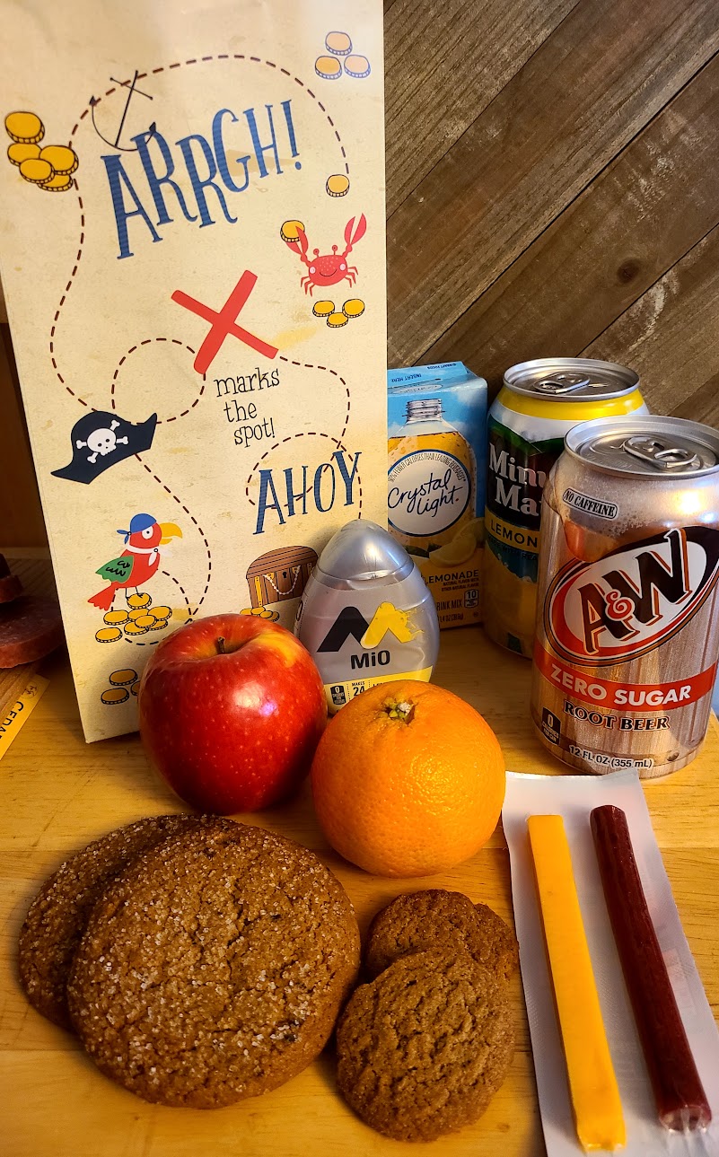
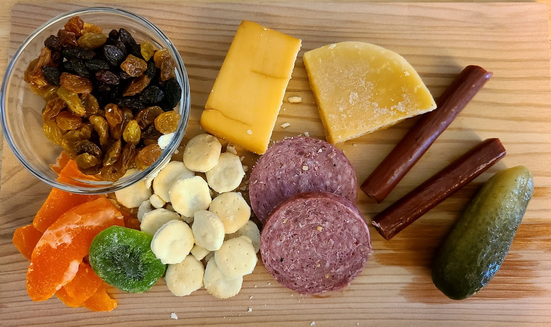
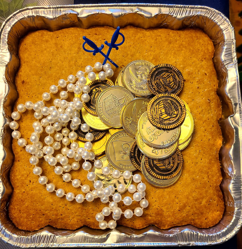
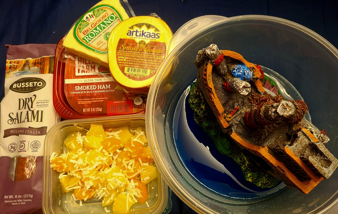
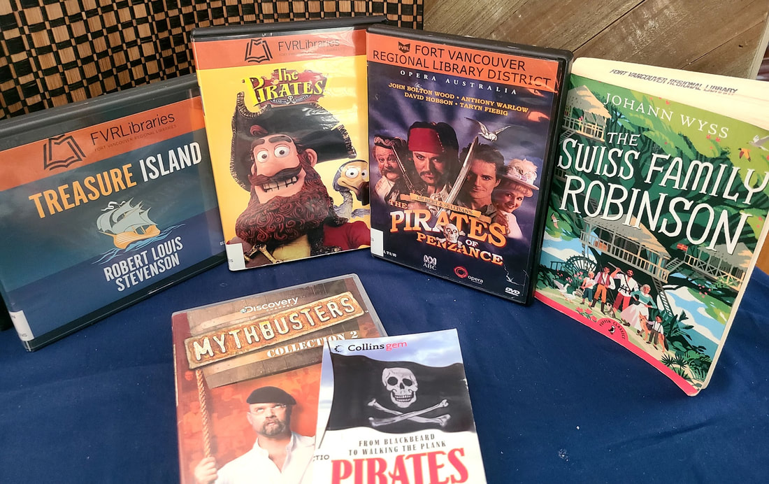
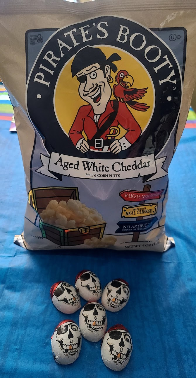
Northwest Pirate Festival, Lacey WA Vendors--period costumes & accoutrements, jewelry & crafts, hair braiding, fortune telling, storytelling, massage on the spot, weaponry . . . and food! Kid Activities The Crow's Nest--pub and performances Bonnie's Roost performers No Quarter Arena--Boom Pirates shows & Raptor Events Pirate Connections at home and abroad I got all enthused about Pirate Food and Pirate stories, and the related topics of ships, the ocean, and other stories of the high seas . . . so here's what we did for the weekend, and some further pursuits: What Did Pirates Eat at Sea?’ What Did Pirates Eat? The difference between a Privateer & a Pirate The romanticization of bad guys, like pirates, highwaymen, the mafia . . . continues . . .
Update 6-15-2023
I attended the Oregon Renaissance Faire on a Pirate themed day (though much of the Faire was similar for all three weekends), see |
Wheelchair WomanI've been in a wheelchair for 30+ years. It poses some challenges for traveling. Maybe others can benefit from my experiences. Archives
June 2024
Categories
All
|


 RSS Feed