|
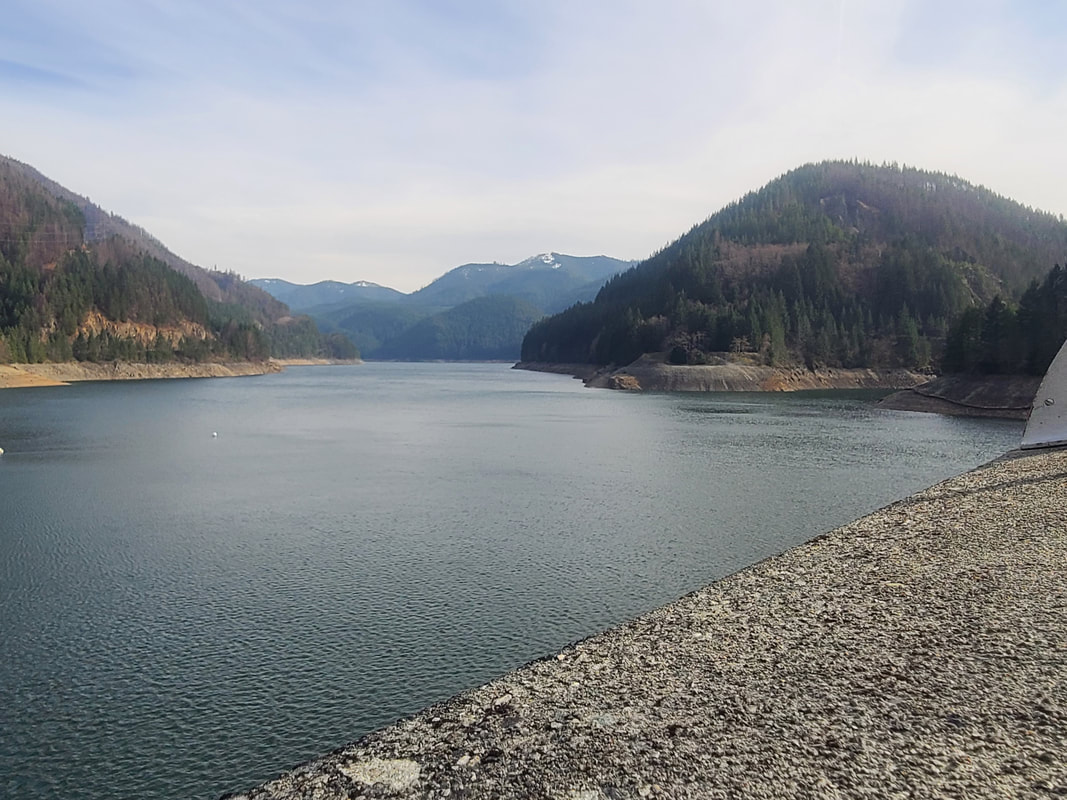
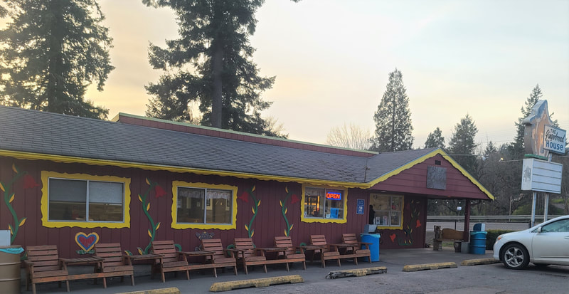
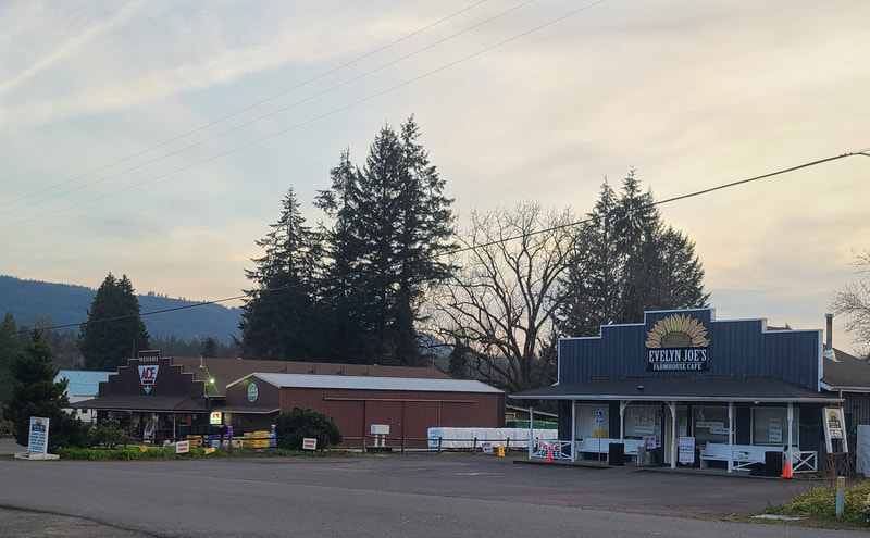
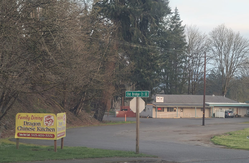
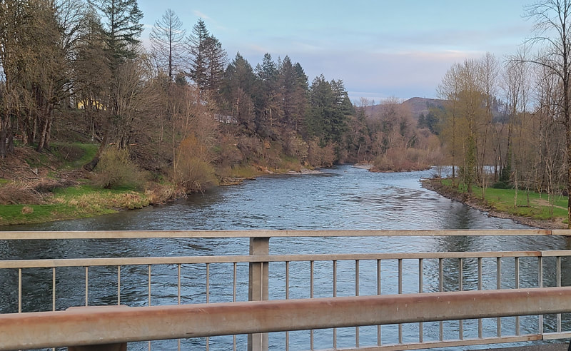
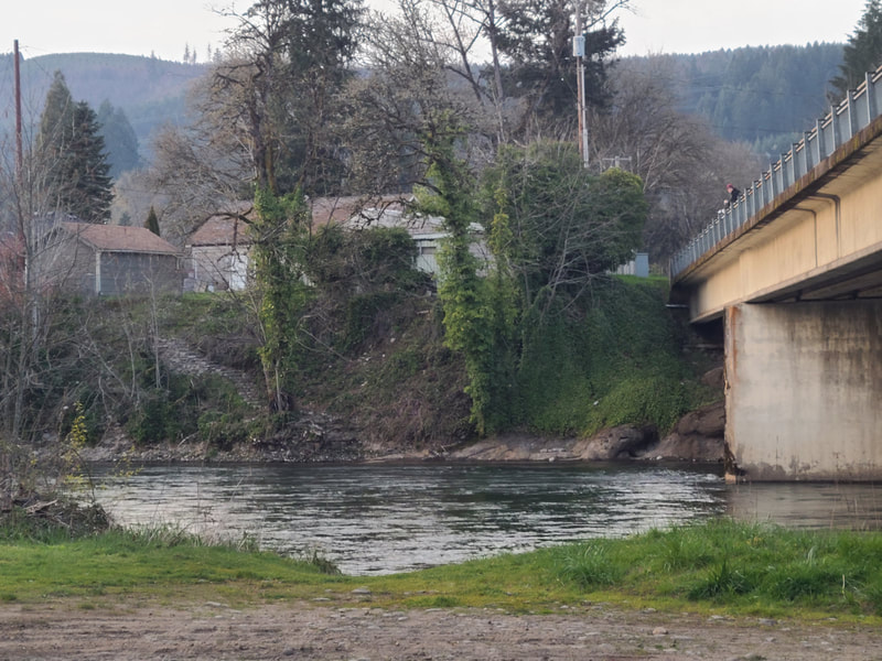
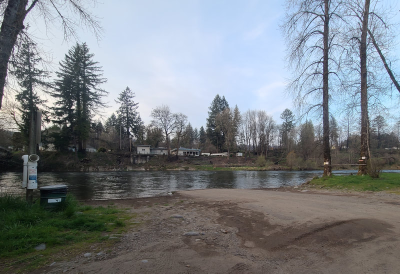
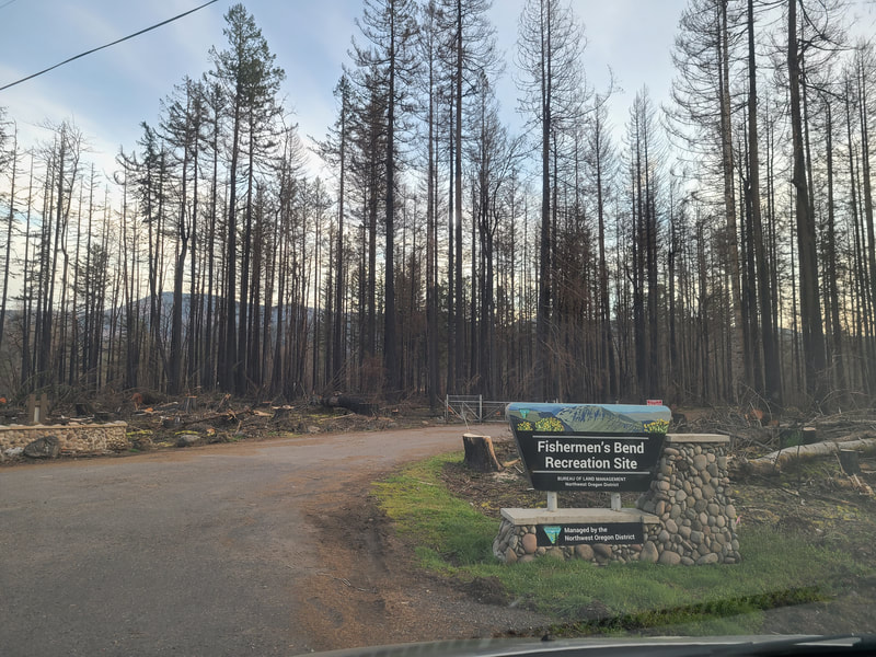
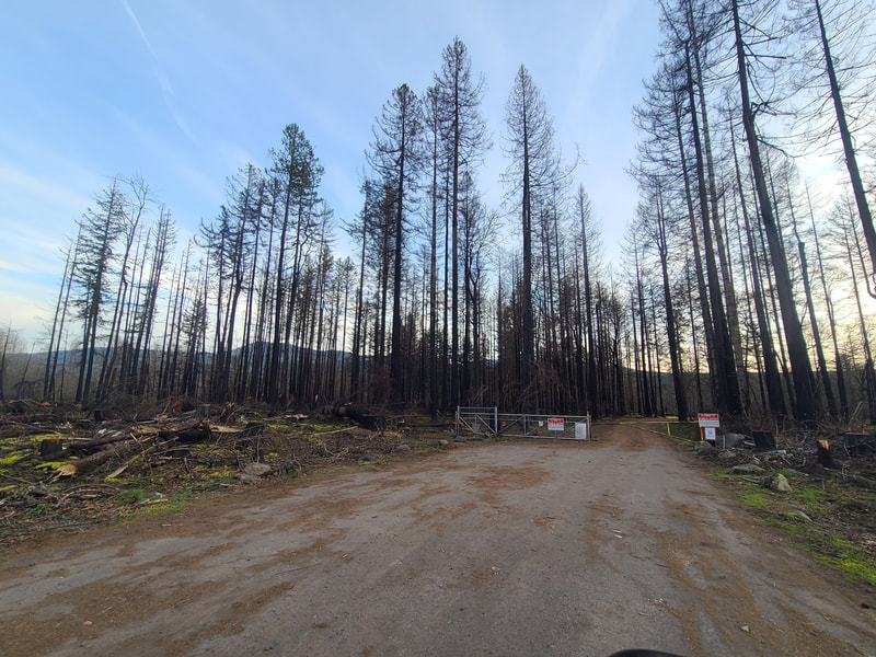
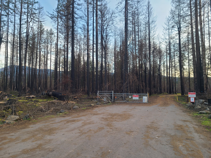
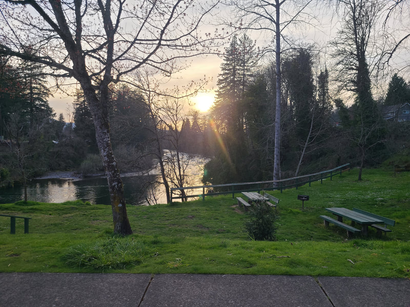
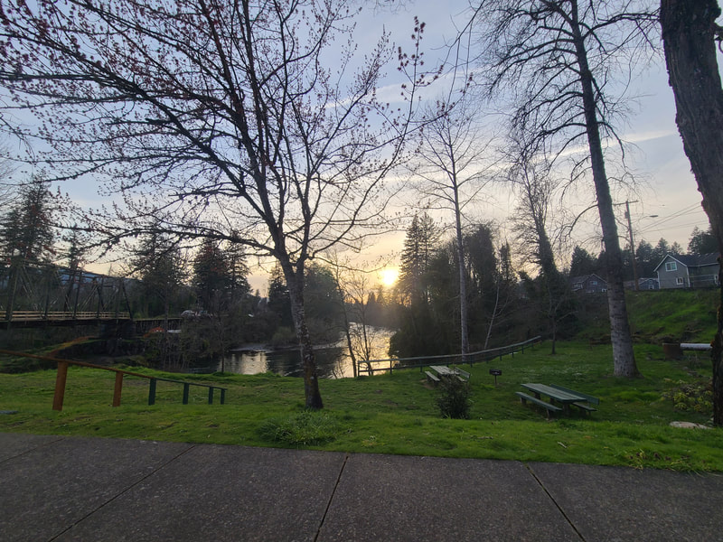
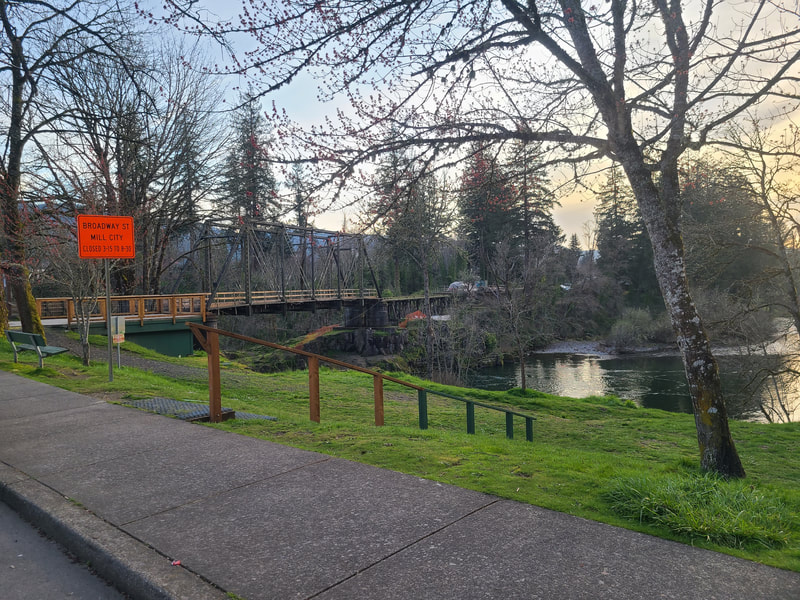
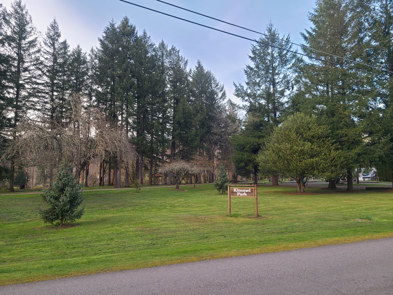
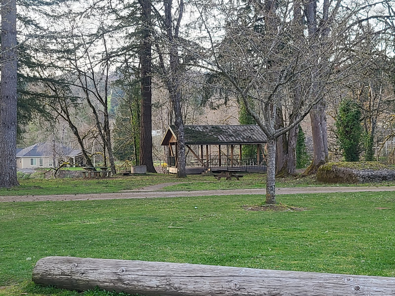
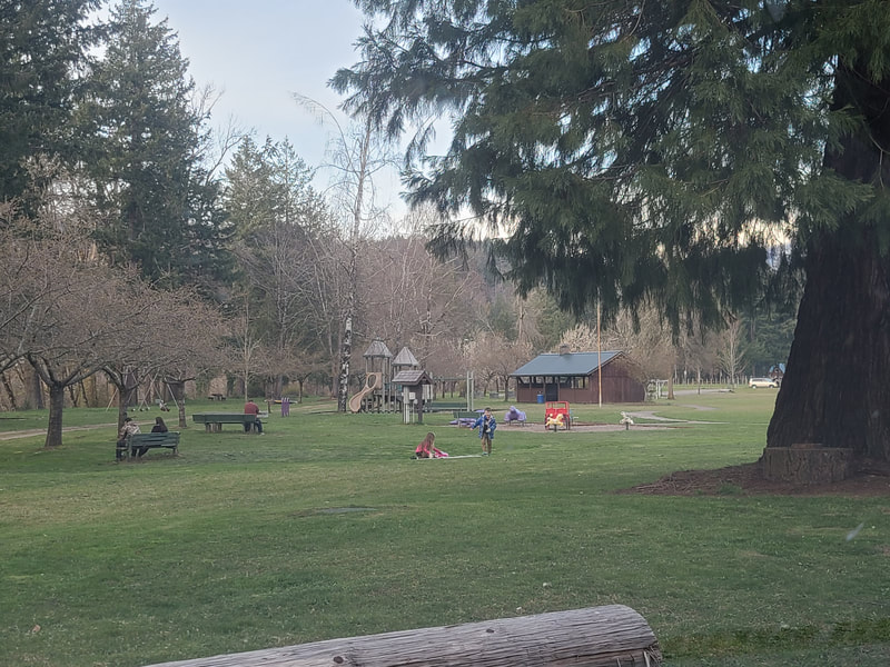
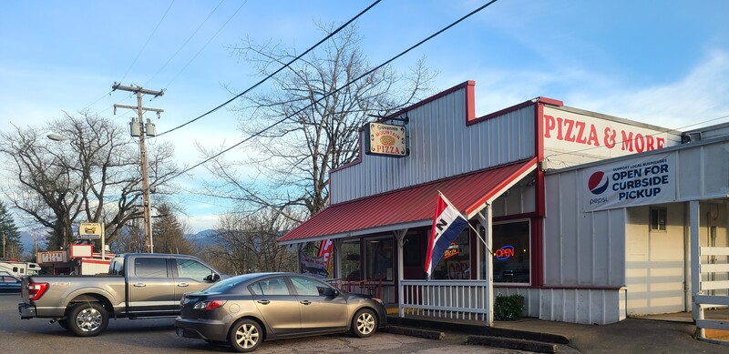
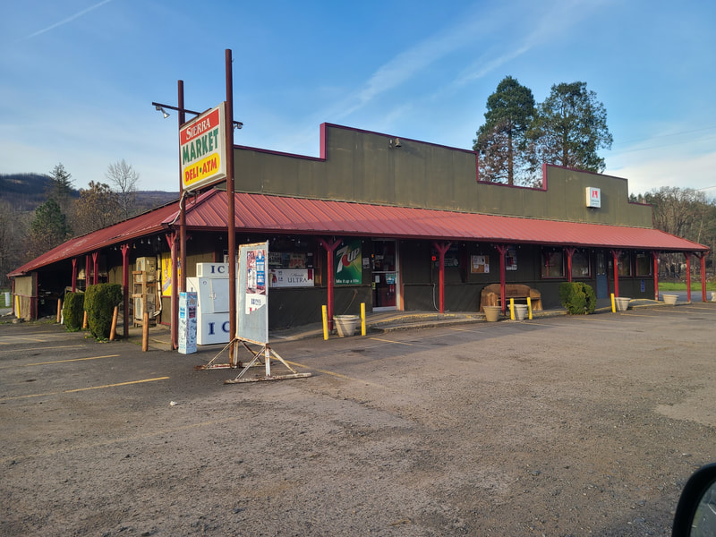
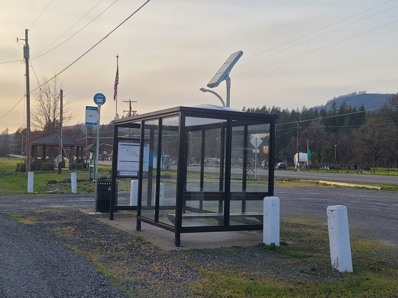
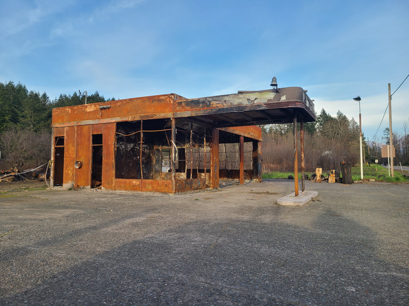
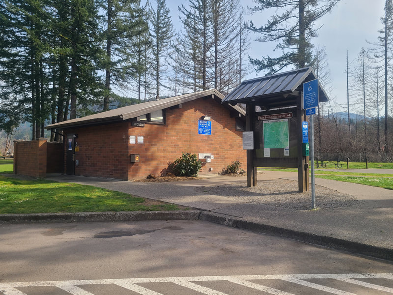
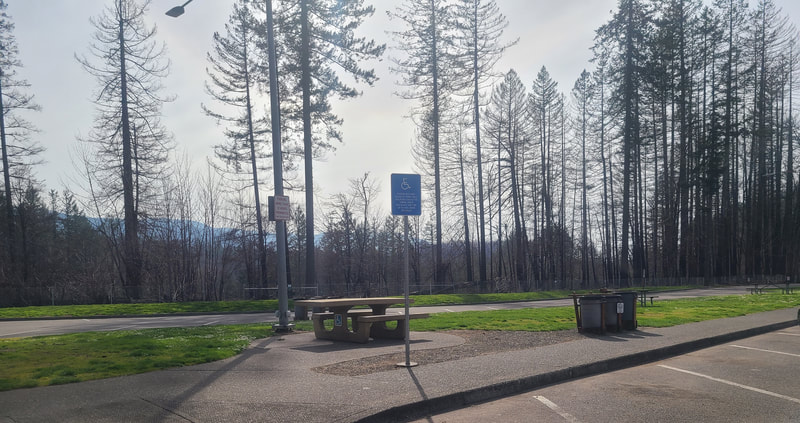
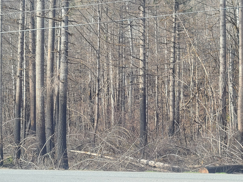
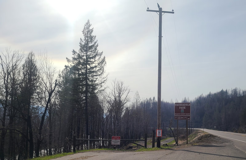
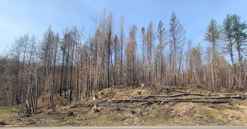
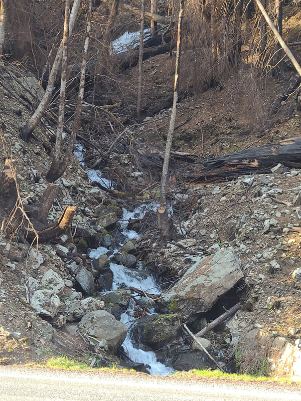
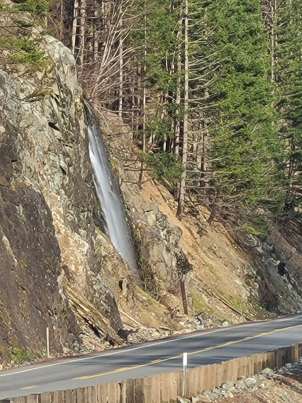
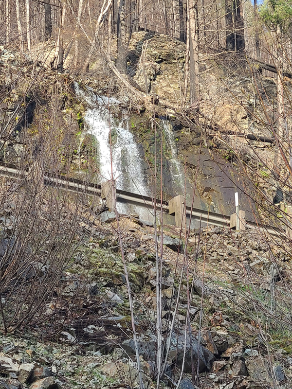
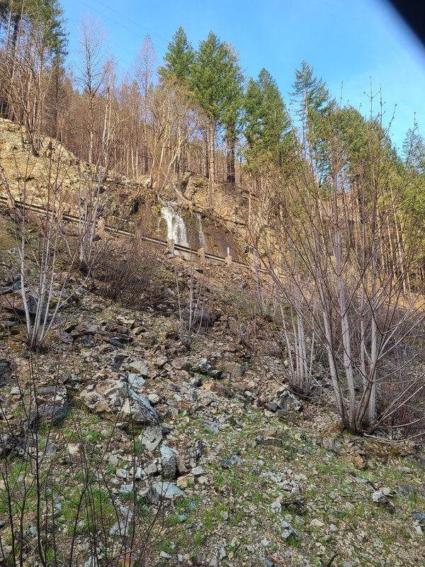
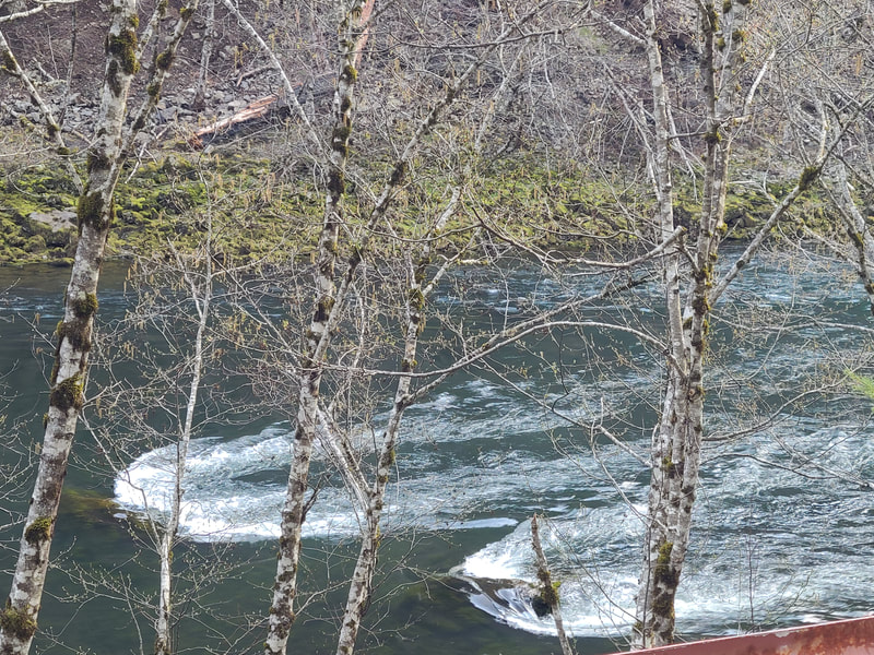
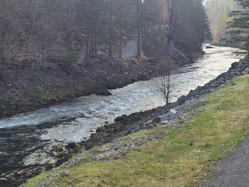
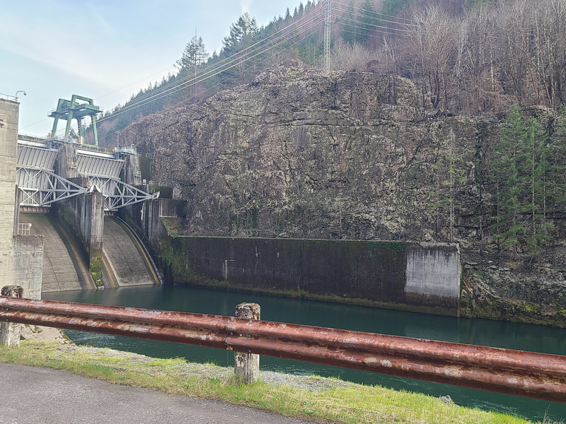
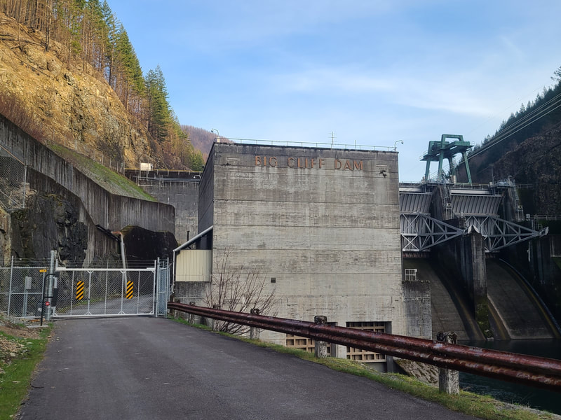
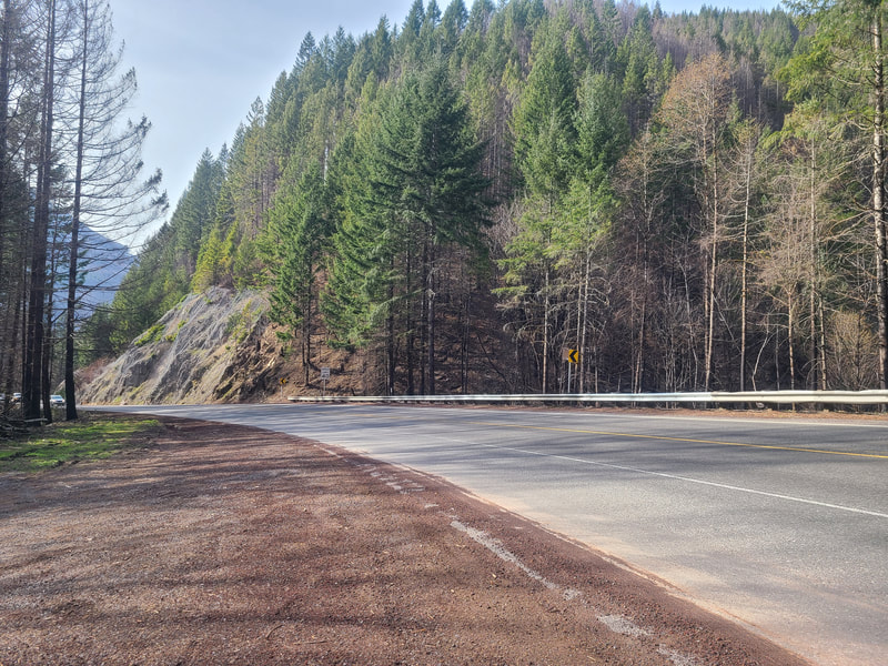
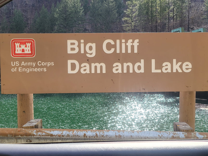
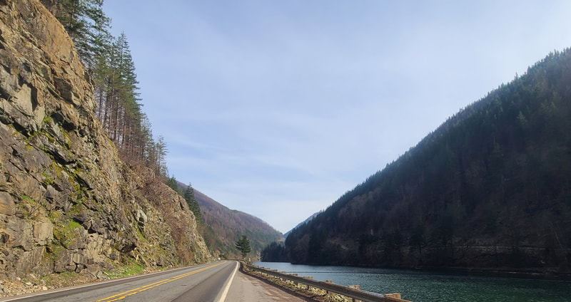
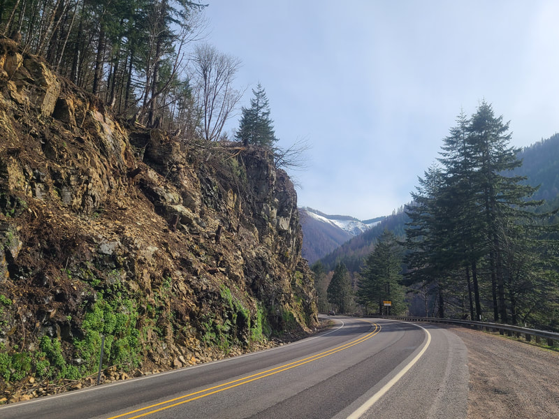
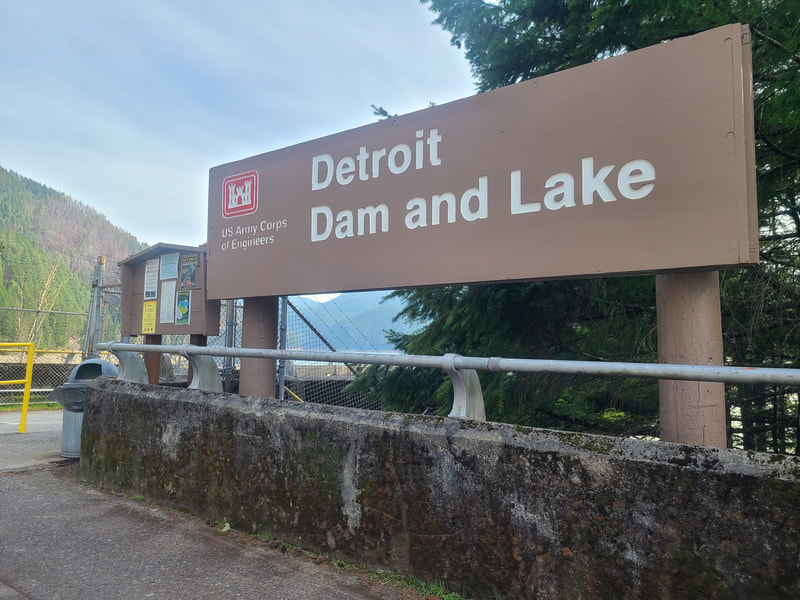
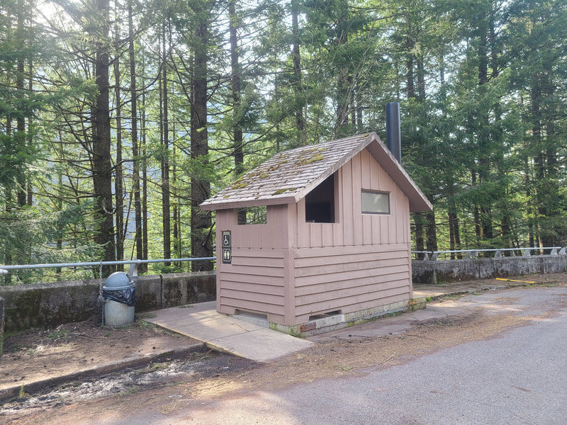
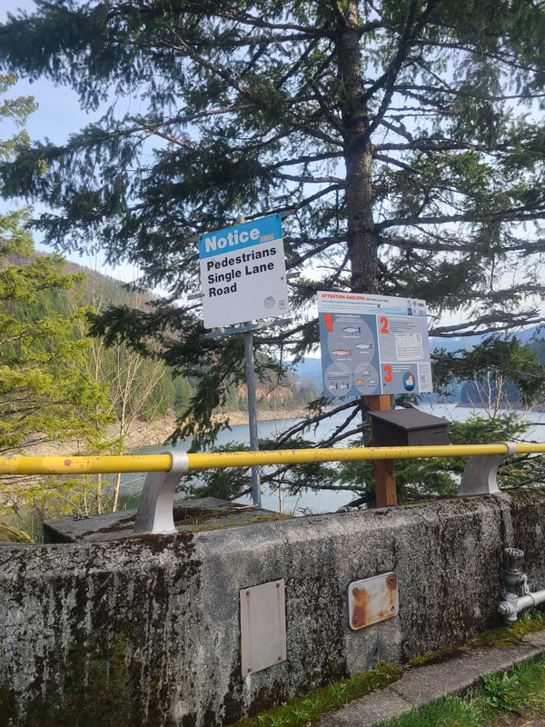
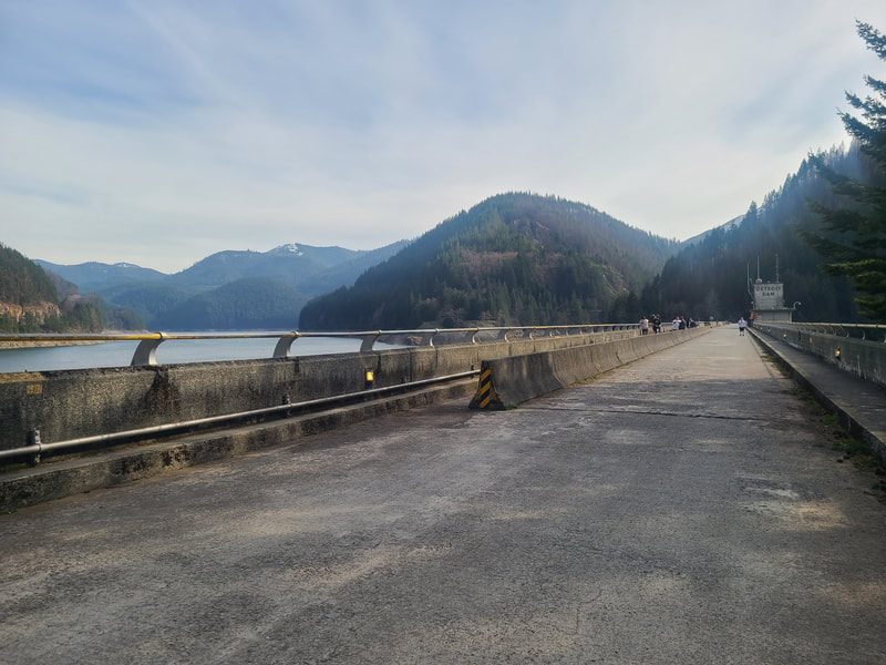
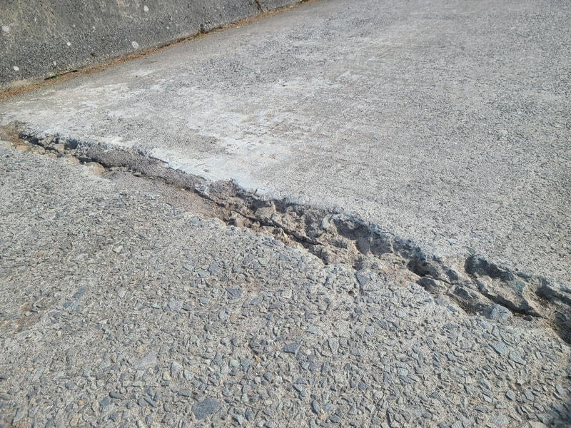
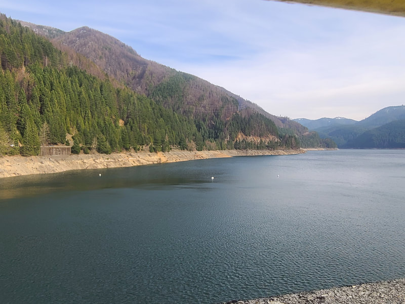
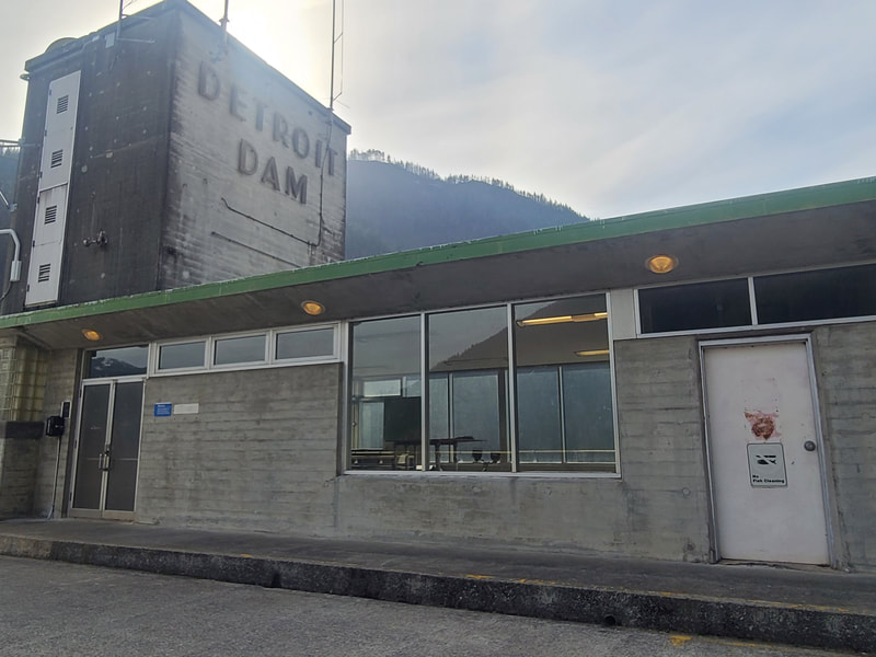
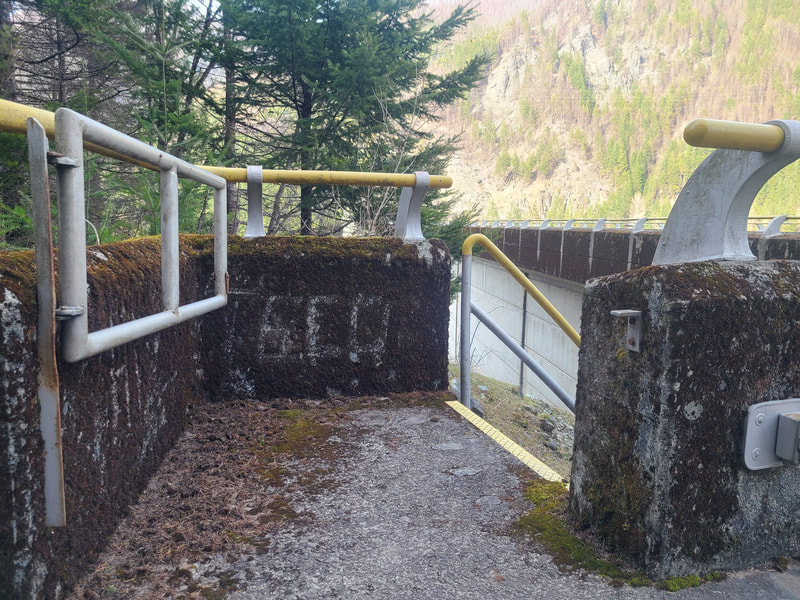
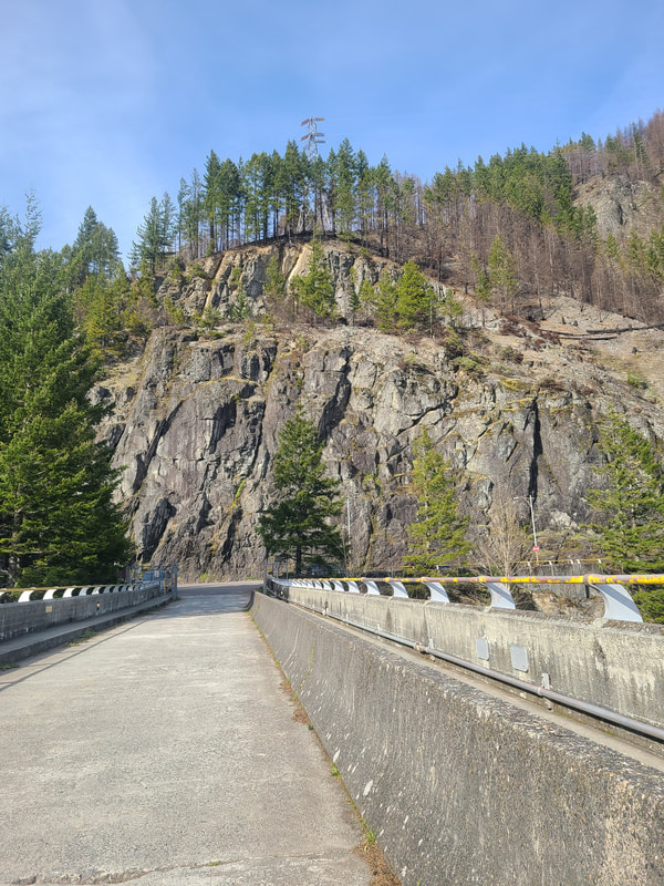
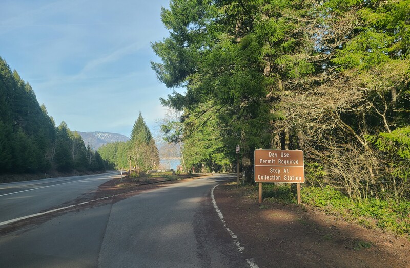
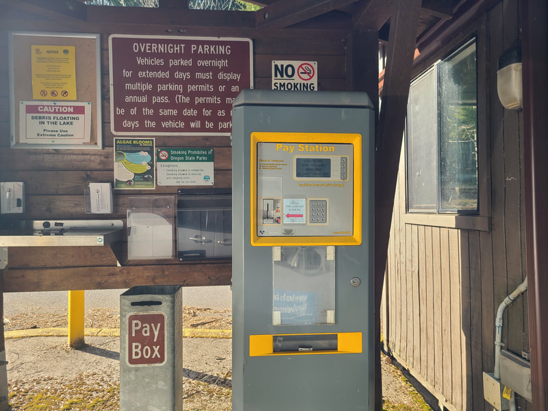
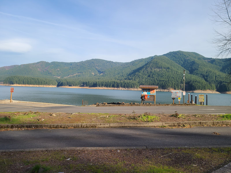
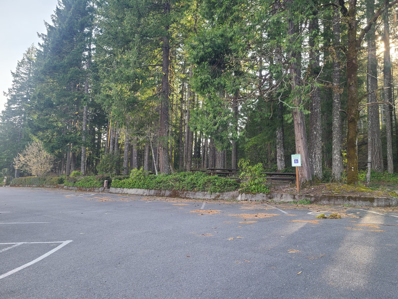
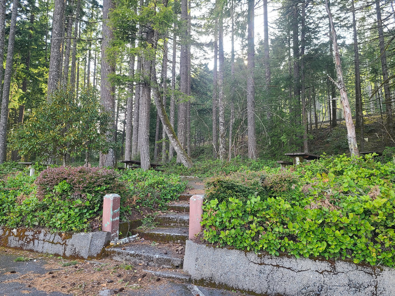
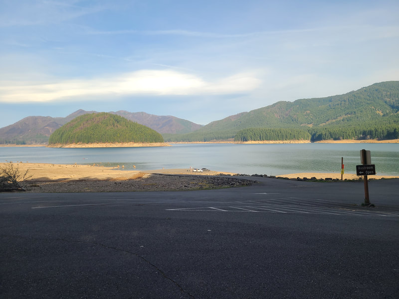
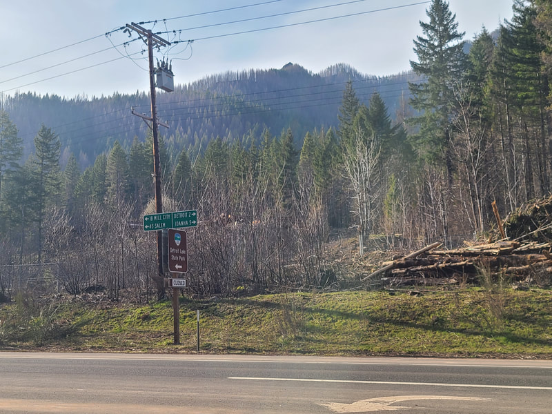
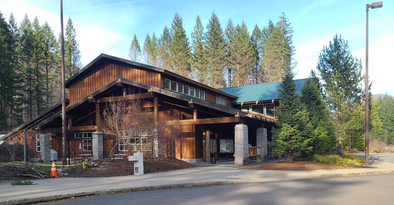
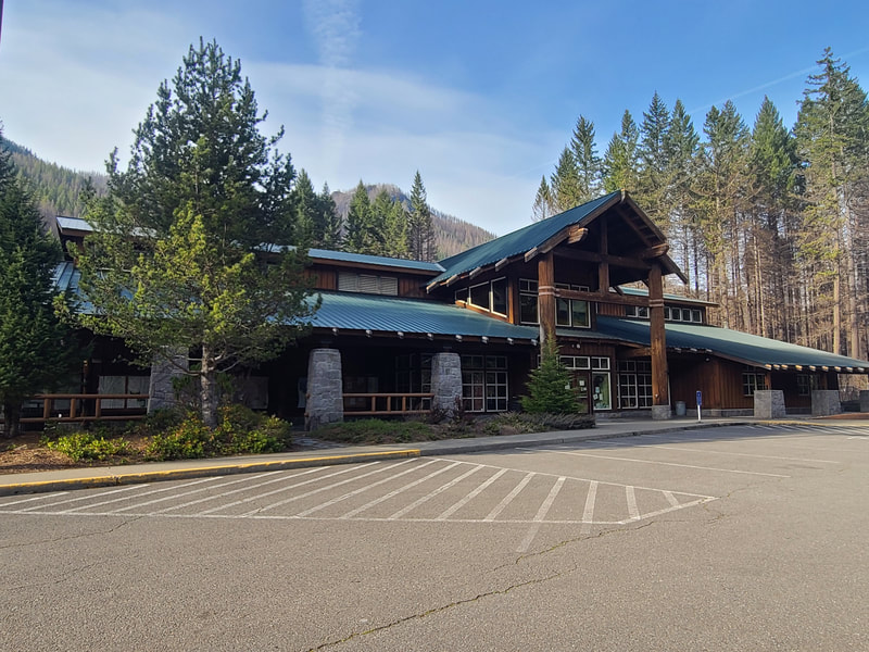
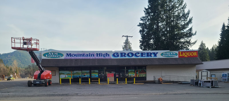
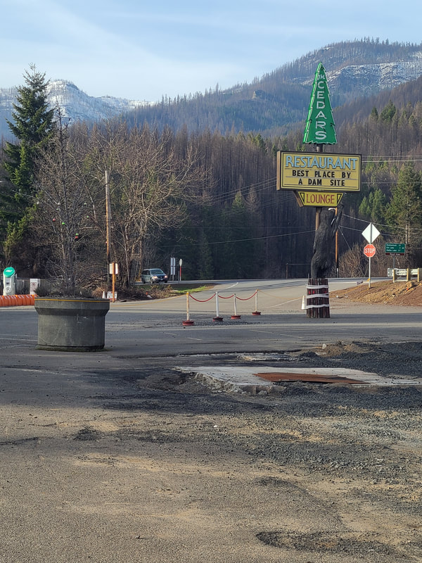
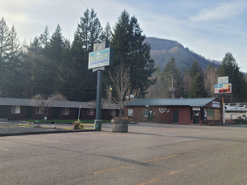
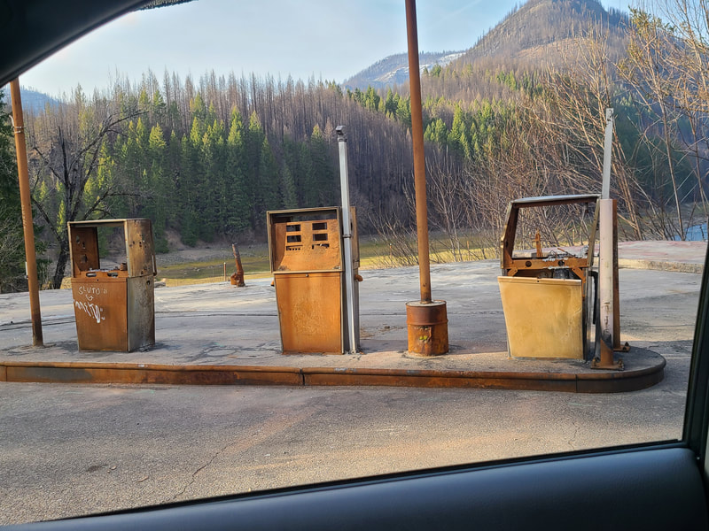
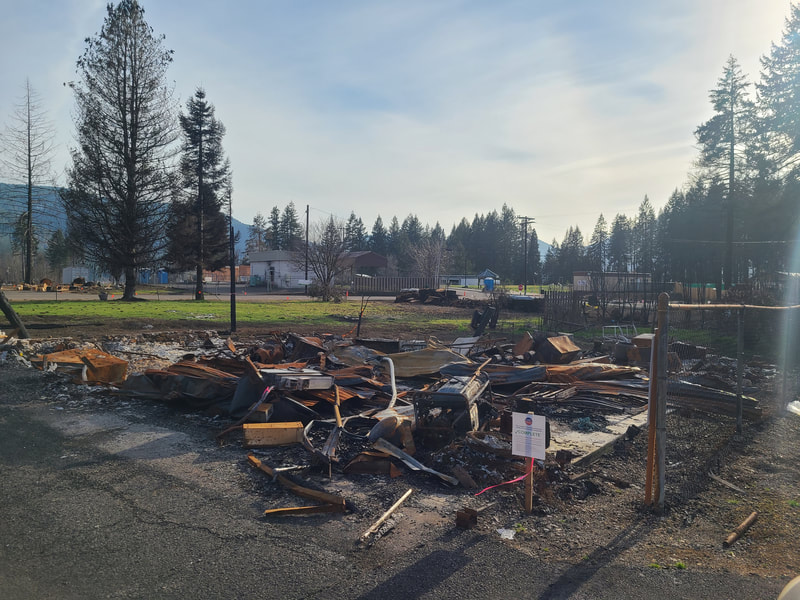
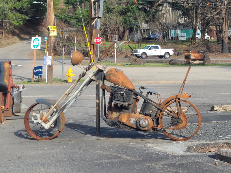
It was a glorious day for birds of prey soaring the skies of Oregon City as I traveled I-205 toward I-5, on my way to Detroit Lake OR. Crews were still clearing winter storm damage (4-2-21), and traffic moved forward haltingly. Things improved south of Wilsonville, I took a little detour at Woodburn Outlet Mall, and about Keizer I noted that I was halfway between the pole and the equator, at 45 degrees north latitude. Eventually urban ‘scapes gave way to rural lands: fields, farms, and forested hills. It’s 46 miles SE from Salem to Detroit Lake on Hwy 22, and after 26 of those miles Hwy 22 comes to Mehama, where the forest damage changed from winter storm to the wildfires of summer 2020. It was so real and present that it became a wonder that there were any homes still standing, though some were obviously rebuilt. From Mehama Hwy 22 follows the North Santiam River up into the Cascade Mountains: altitude at Salem is 157’, at Mehama 633’, Mill City 840’, Big Cliff Dam 1214’, and Detroit Lake OR is 1555’ above sea level with mountains all around. It’s a wondrous drive. Mehama OR The quaint Gingerbread House is first to catch your eye as you drive along Hwy 22 and reach Mehama. Friendly folk there said previous owners made their own gingerbread and served it up with vanilla ice cream, something to drive a craving! You can get the usual breakfast and fast food, as well as elk and bison, their facebook page says. https://www.facebook.com/TheGingerbreadHouseInMehama/?ref=page_internal There’s a bus stop on the street behind The Gingerbread House, and from there you’ll be facing Evelyn Joe’s Farmhouse Café featuring espressos, lattes, frappes, smoothies, pastries—gluten free, dairy free, and vegan offered as well, next to the Ace Hardware. https://www.facebook.com/Evelyn-Joes-415879205850967/ Bus Route 30X: Santiam/Salem Express https://www.cherriots.org/route/30X/?direction=1 If you like retro architecture, the old Mehama Country Grocery still stands, much worse for wear. It doesn’t take a lot of time to explore Mehama, population around 300. Just before you cross the bridge over the North Santiam River toward the sister city of Lyons, there’s an opportunity to dine at the Dragon Chinese Kitchen. https://www.zmenu.com/dragon-chinese-kitchen-lyons-online-menu/ The bridge has a barrier so that pedestrians can fish from it. Take the first right turn after the bridge, and another quick right down to the river, the Lyons-Mehama County Park offers somewhat rough boat and fishing access to the river. https://linnparks.com/parks/lyons-mehama-boat-ramp/ North Santiam State Recreation Area--just east of Mehama Several recreation areas and parks along the way were still closed from the 2020 wildfire season. This was one of them. Too bad . . . from their website it looks like they have (or had) some nice facilities, including accessible ones. Hit the "Tour Accessible Features" button to see informative photos. Fishermen’s Bend Recreation Site--29 mi east of Salem, 1.5 mi west of Mill City This recreation site was also closed when I traveled Hwy 22 early April 2021. It wasn’t hard to see why. Mill City OR--pop about 1900 Turn south off Hwy 22 at the 7-11 and follow the road to cross the bridge over the Santiam River. There's a nice little place to picnic with a view, and an accessible fishing pier. Continue south on 1st Ave to Fairview. East on Fairview is family friendly Kimmel Park on the south side of the river. The quickest way to get back to the Hwy is to retrace your journey. http://www.ci.mill-city.or.us/about Linn county parks https://linnparks.com/ Marion county communities https://www.co.marion.or.us/Pages/about.aspx Minto Park--1 mi east of Gates Property of Marion county, it was also closed from the 2020 wildfire damage. Otherwise, it has (or had) picnic tables, ADA restroom, hiking, fishing, water activities. Day use only. No smoking or alcohol. https://www.co.marion.or.us/PW/Parks/descriptions/Pages/minto.asp The Maples rest area--just past Minto Park, less than 2 mi east of Gates Gets mixed reviews, depending users. The only rest stop between Salem and Sisters OR. Packsaddle Park--2 mi east of Gates Was closed due to wildfire damage. Otherwise, it’s open year round, has picnic tables, ADA restroom, fishing, hiking, boat ramp. No smoking or alcohol in Marion county parks. https://www.co.marion.or.us/PW/Parks/descriptions/Pages/packsaddle.asp Niagara Heights Waterwheel--slightly west of the Niagara Park turn-off, on the north side Seems to have survived . . . https://www.facebook.com/Niagara-Heights-Water-Wheel-103965731104687/ https://www.koin.com/news/special-reports/water-wheel-near-gates-will-soon-keep-on-turnin/ 1.5 min video https://thatoregonlife.com/2017/11/niagara-water-well/ Niagara Park--40 mi SE of Salem OR, 7 mi east of Mill City, on the south side Also closed from wildfire damage. It used to be open year round, had picnic tables, hiking, ADA restroom, drinking fountain. Day use only, no smoking or alcohol in Marion county parks. There was a hike to the remains of an old dam, and view of the Sevenmile Creek Falls. https://www.co.marion.or.us/PW/Parks/descriptions/Pages/niagara.aspx https://oregonwaterfalls.wordpress.com/2017/03/02/sevenmile-creek-falls/ https://www.waterfallsnorthwest.com/waterfall/Sevenmile-Creek-Falls-442 Little Sweden--37359 N Santiam Hwy SE I remember seeing a wide spot in the road with an old gas station of historic interest, a small sign on the other side of the road . . . I saw a good photo of it at https://www.trulia.com/p/or/gates/37359-n-santiam-hw-se-gates-or-97346--2162952092 The canyon is narrowing, the river running over rocks to get down to the level, streams rush down the upper side of the canyon, falling over themselves to cascade into the river. Meanwhile the road ascends into the mountains, and reminders along the route are signs that in winter chains are necessary . . . And then you reach . . . Big Cliff Dam Detroit Dam You can park, make a pitstop, walk or drive across the dam. Barriers give fishers place to hang a line or two over the dam. It's accessible fishing, though from a chair some assistance would be helpful. On the other side of the dam the road goes on up into the hills, possibly not suitable for just any vehicle or driver who is not familiar with the area. Detroit Lake State Recreation Area The Mongold day use area, with the boat ramp, inaccessible picnic tables, boat ramp, and rocky shore was open, and plenty of parking was available in early April so soon after things began to open up. Detroit Lake State Park (camping and other amenities) further on wasn’t open yet, but John Williams made a great video of recreation at Detroit Lake as part of the Accessible Adventure series a few years ago. See https://www.youtube.com/watch?v=F6Da8afWbOc&ab_channel=ForestService The ranger station nearly across from the campground was not open late in the day when I arrived, but John has that covered too. Somehow I missed the Mt Jefferson viewpoint ☹. More info, including accessibility and maps: Detroit OR The devastation of Detroit OR from the wildfires of 2020 was so real and present when I was there early April 2021. It's a memory not to be forgotten, but can't hold the future captive. I truly wish them healing, and whatever they need to rebuild their lives and livelihoods. Detroit Lake Marina was on Breitenbush Rd just off Hwy 22 (N. Santiam Hwy. West of Detroit City Park is Kane’s Marina. I’m not sure how they fared. Take Detroit Rd South from Santiam Ave to get to Detroit Flats Day Use Area. Continue through town on Hwy 22 to Santiam Flats Campground, and a little further is Blowout Rd, which leads to Hoover Campground, Cove Creek Campground, and Southshore Campground. If instead of turning off on Blowout Road you travel further on Hwy 22, you’ll reach Idanha.
0 Comments
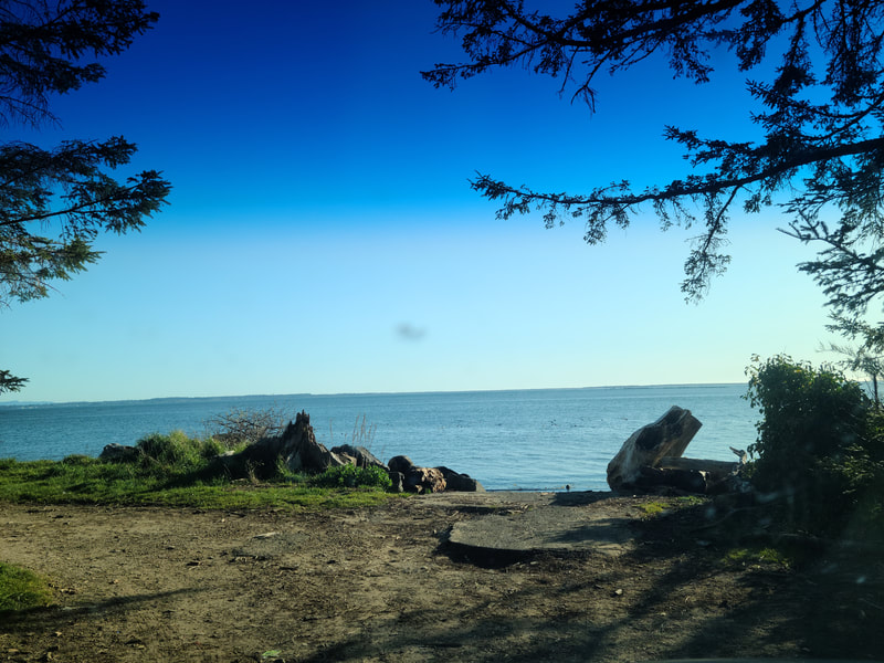
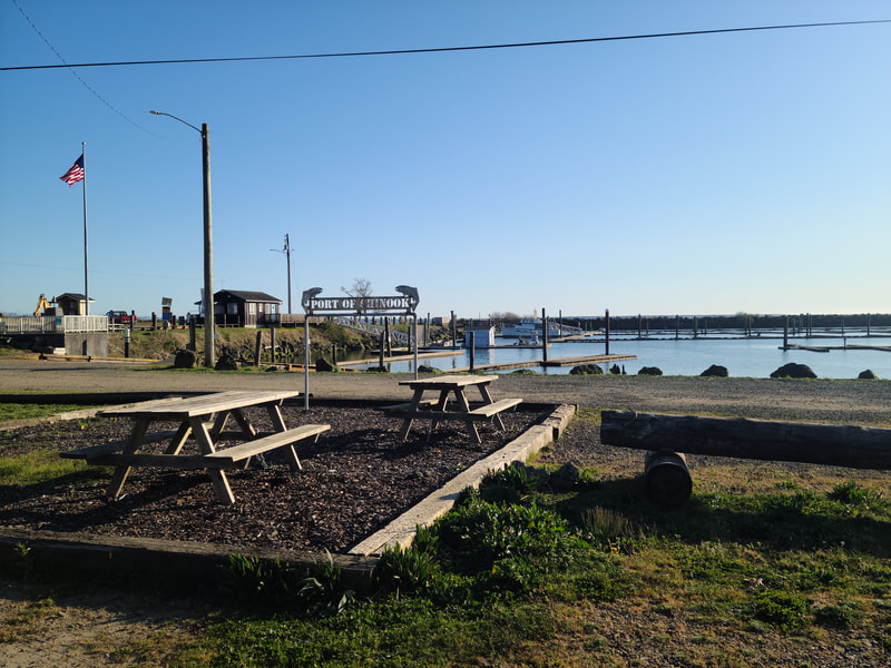
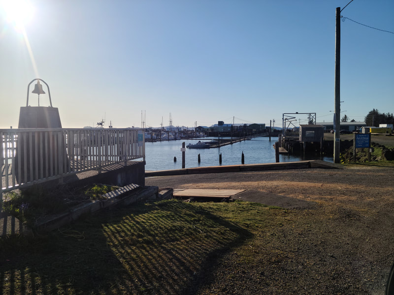
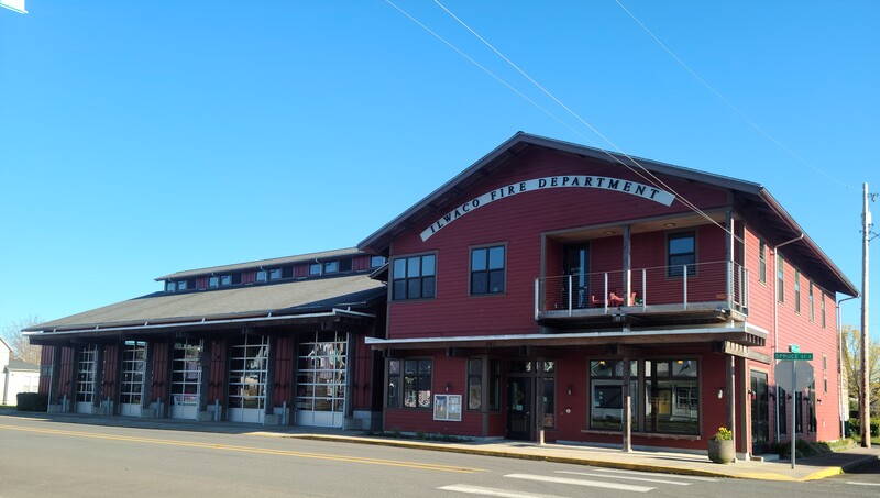
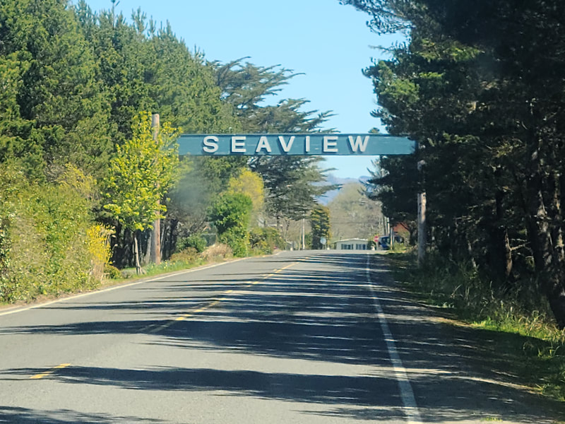
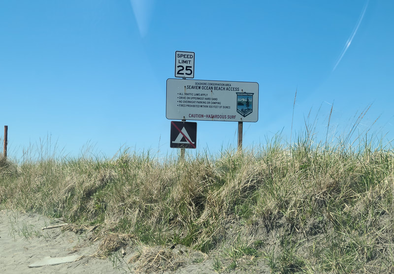
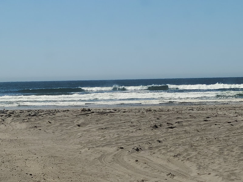
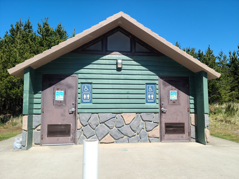
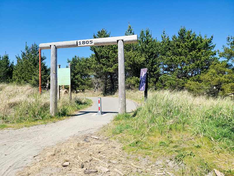
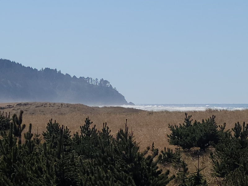
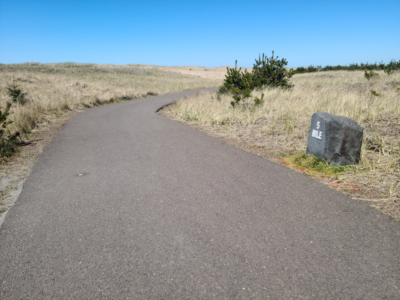
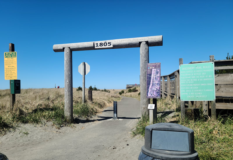
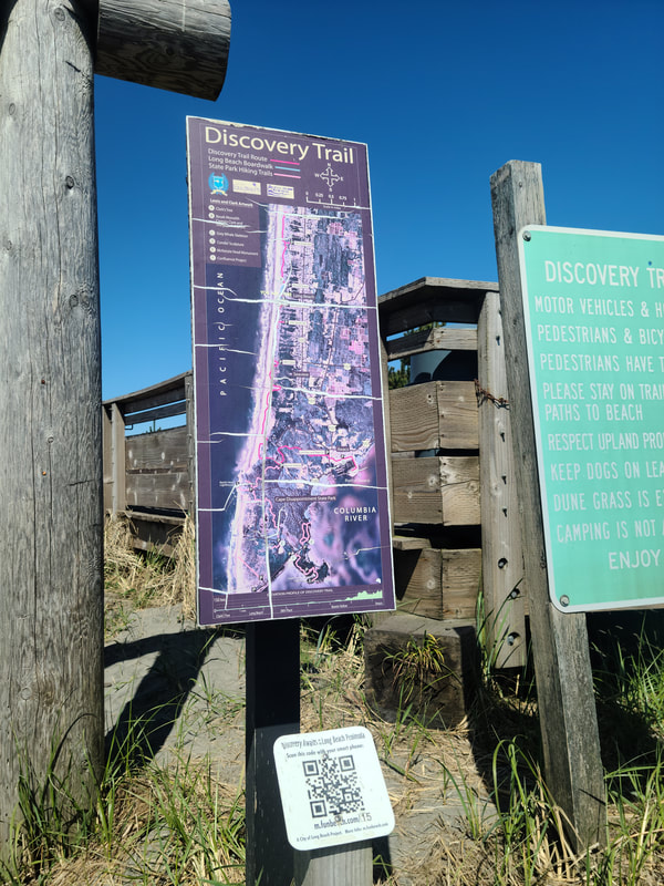
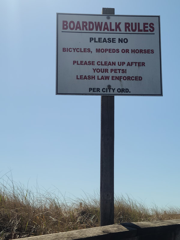
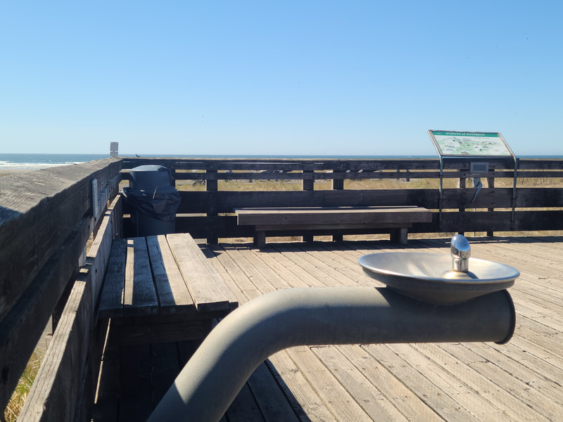
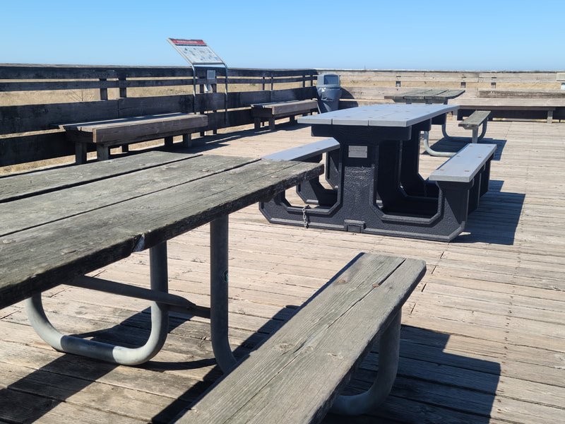
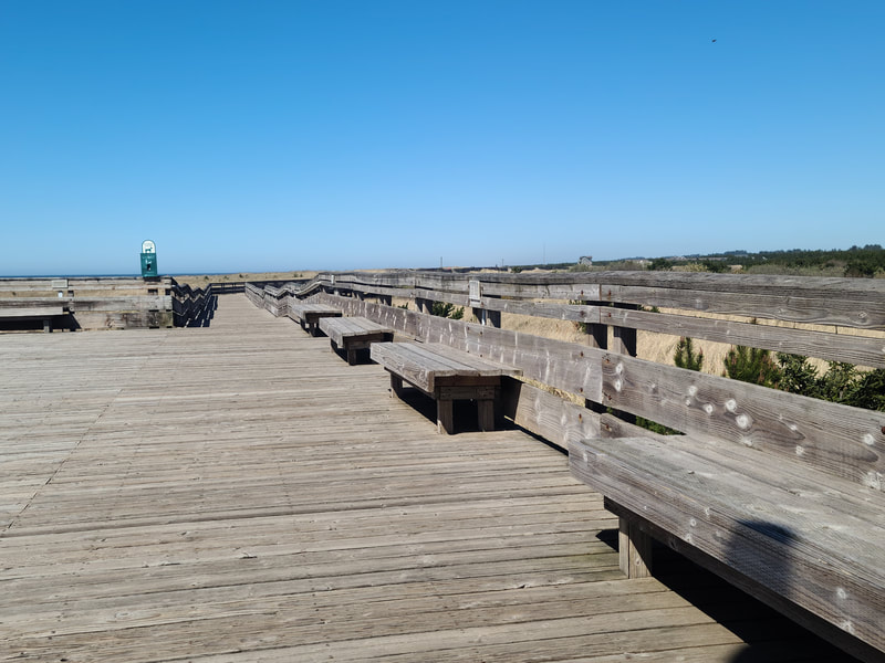
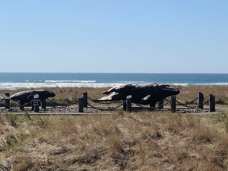
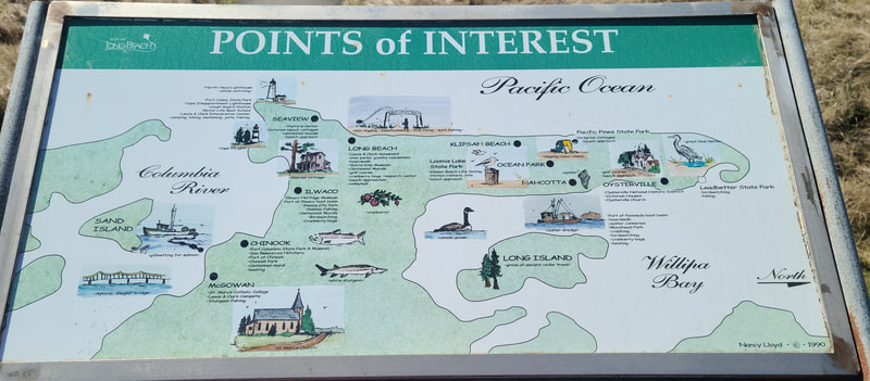
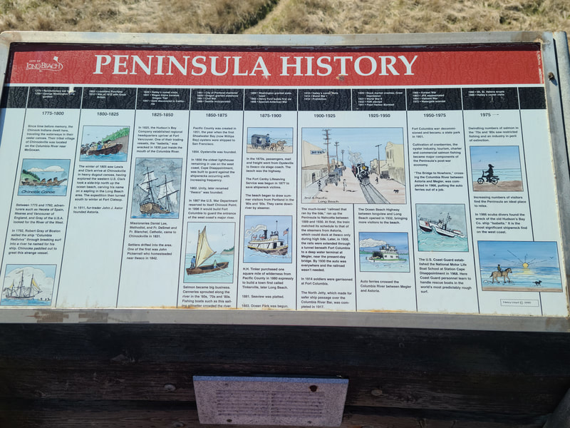
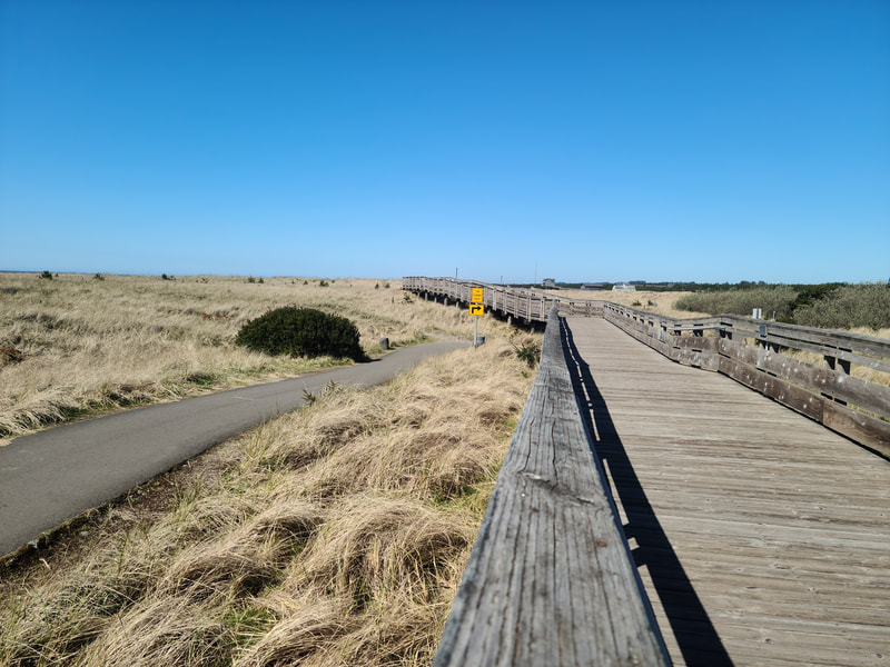
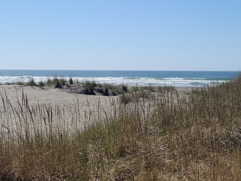
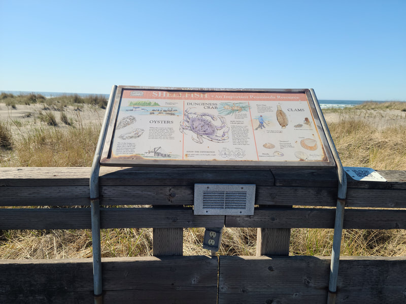
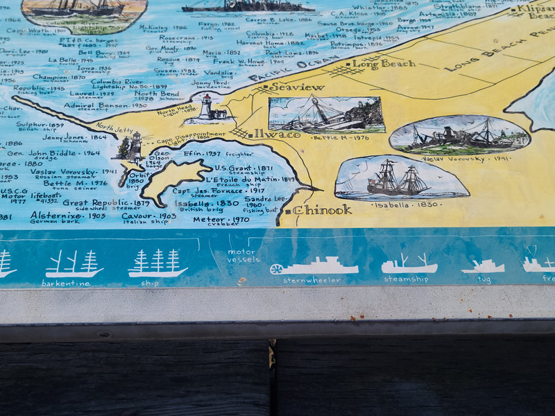
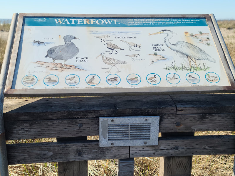
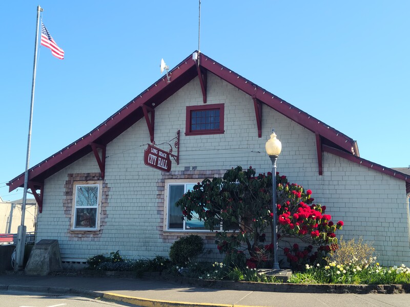
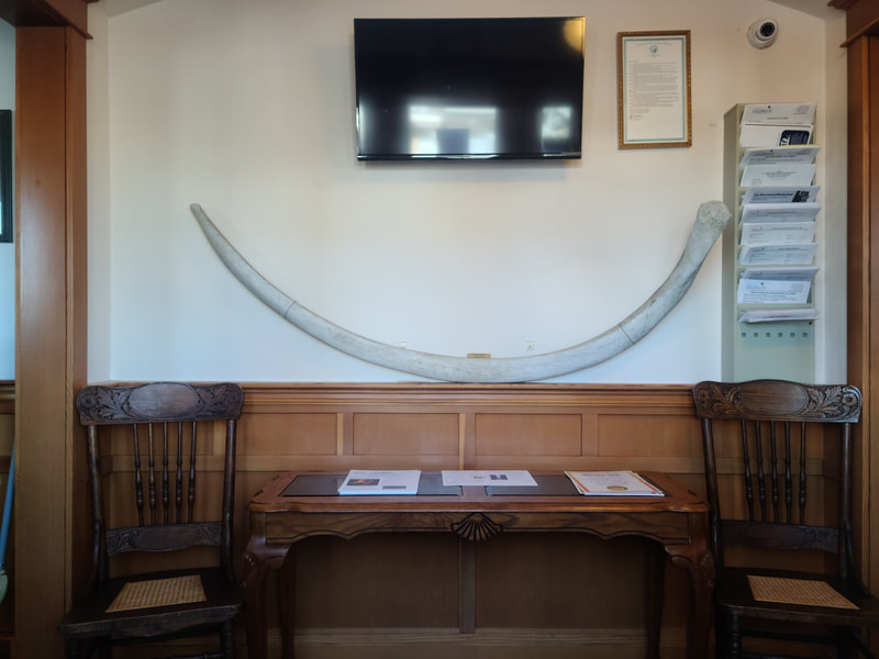
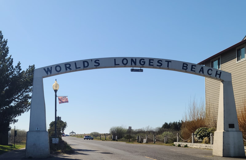
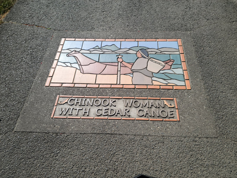
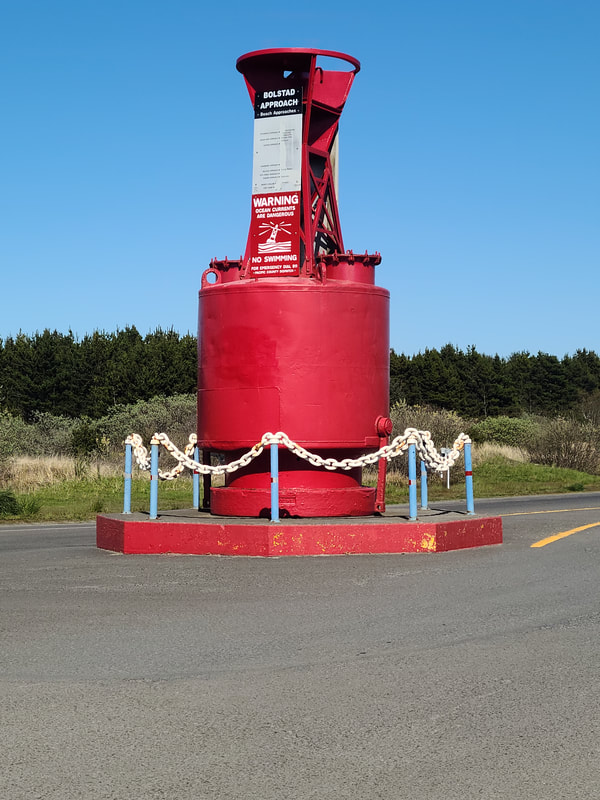
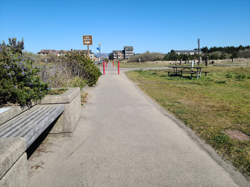
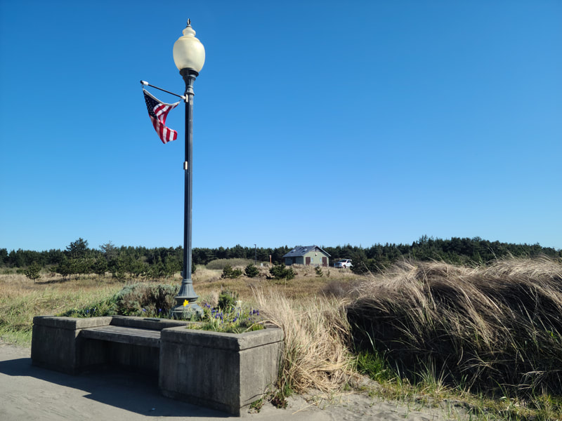
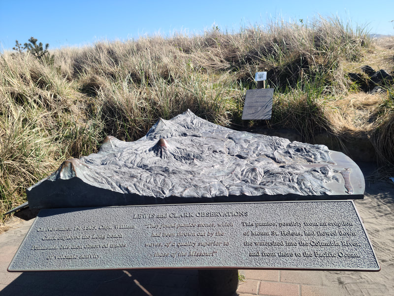
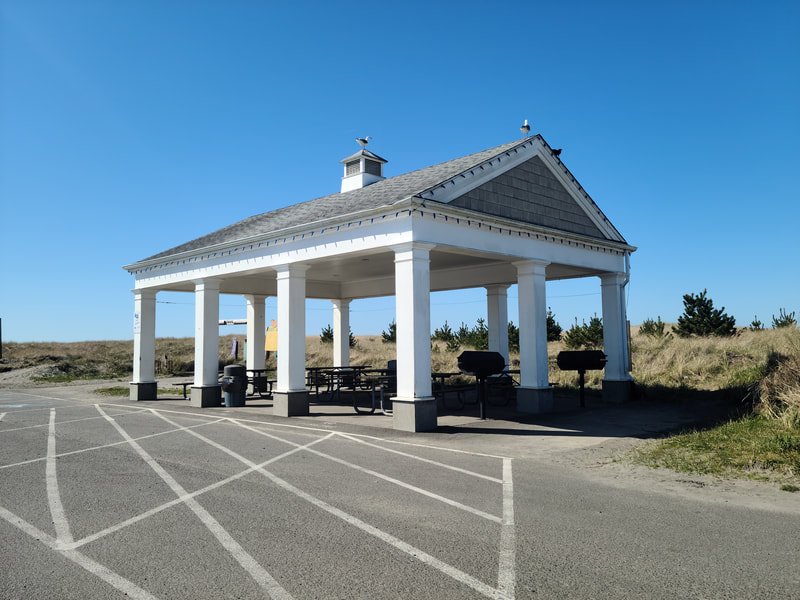
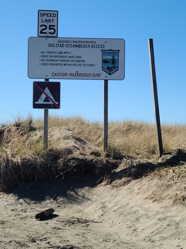
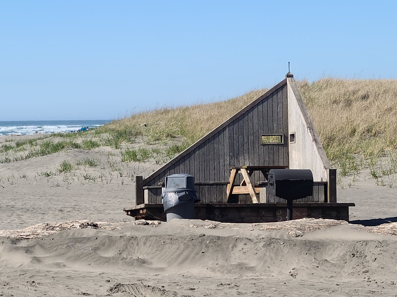
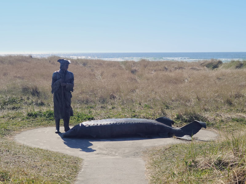
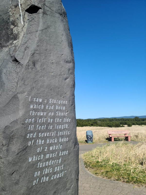
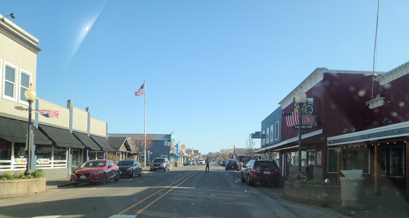
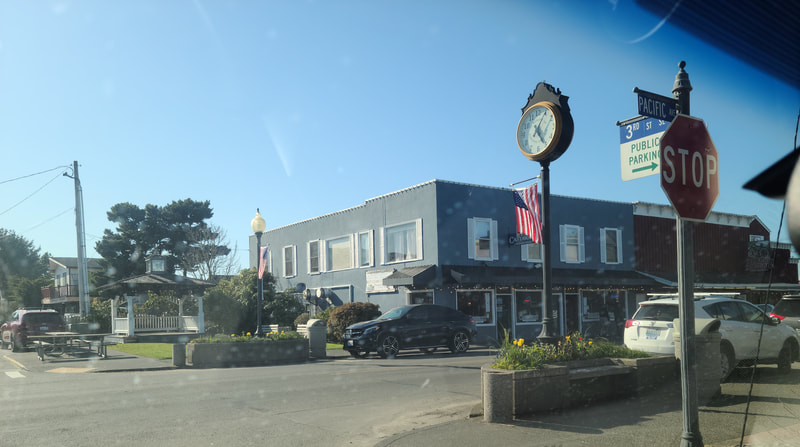
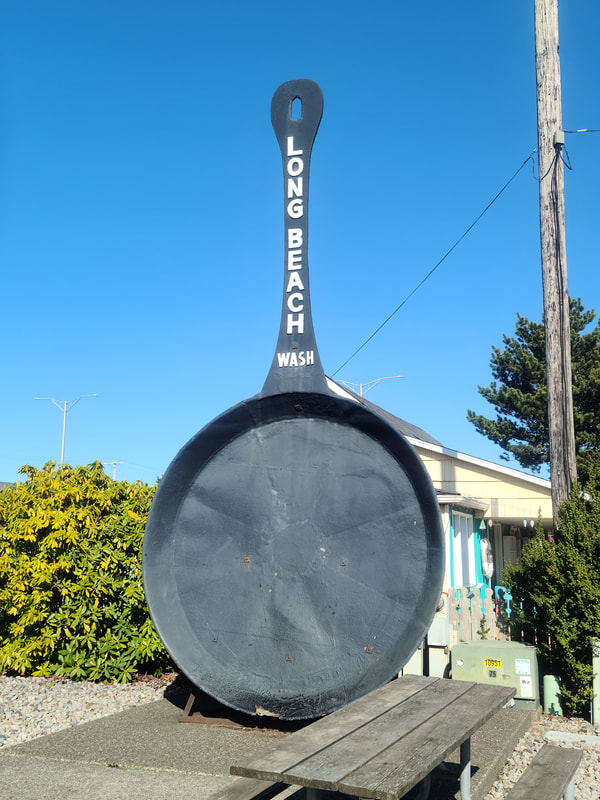
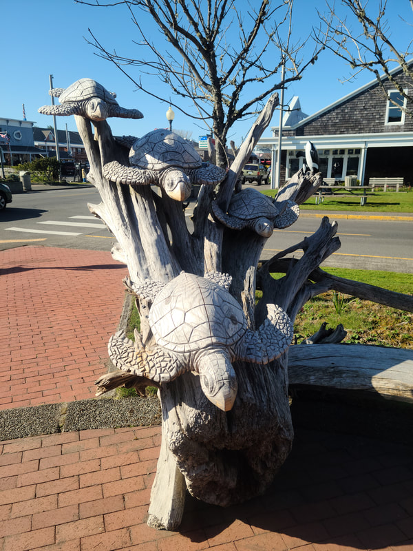
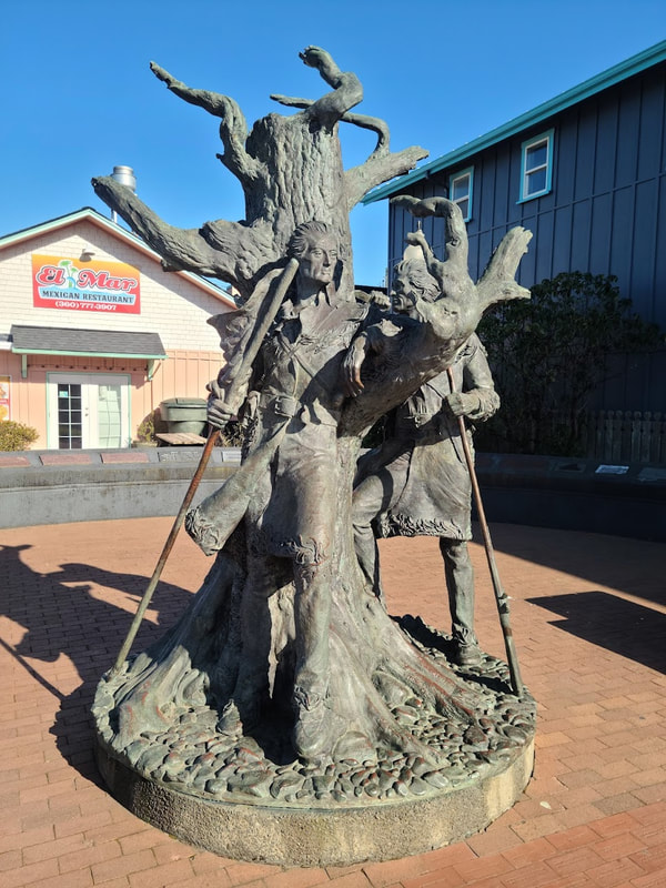
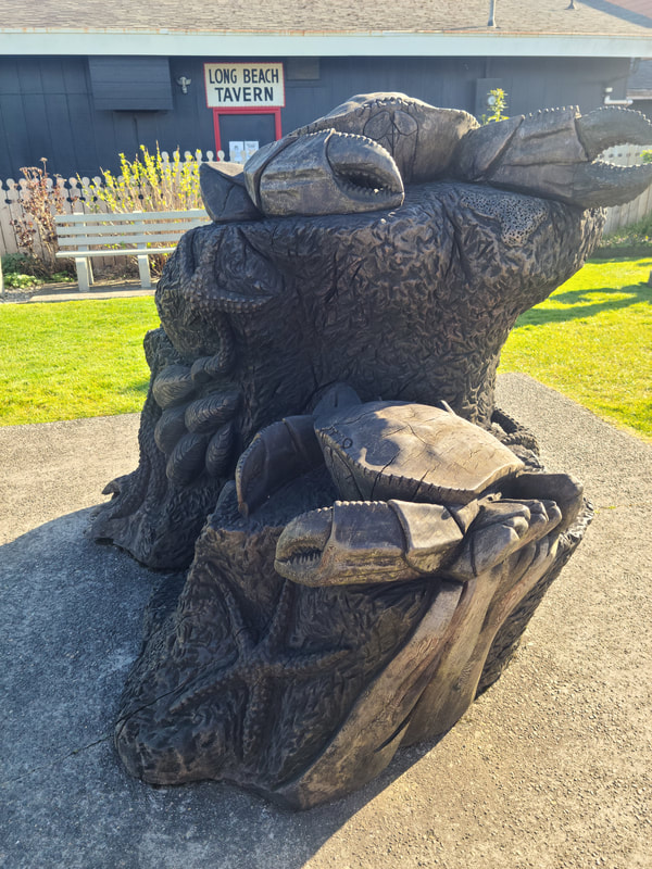
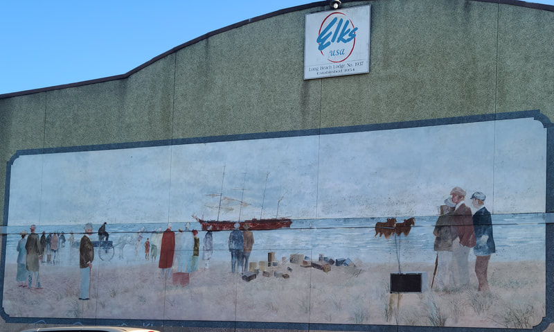
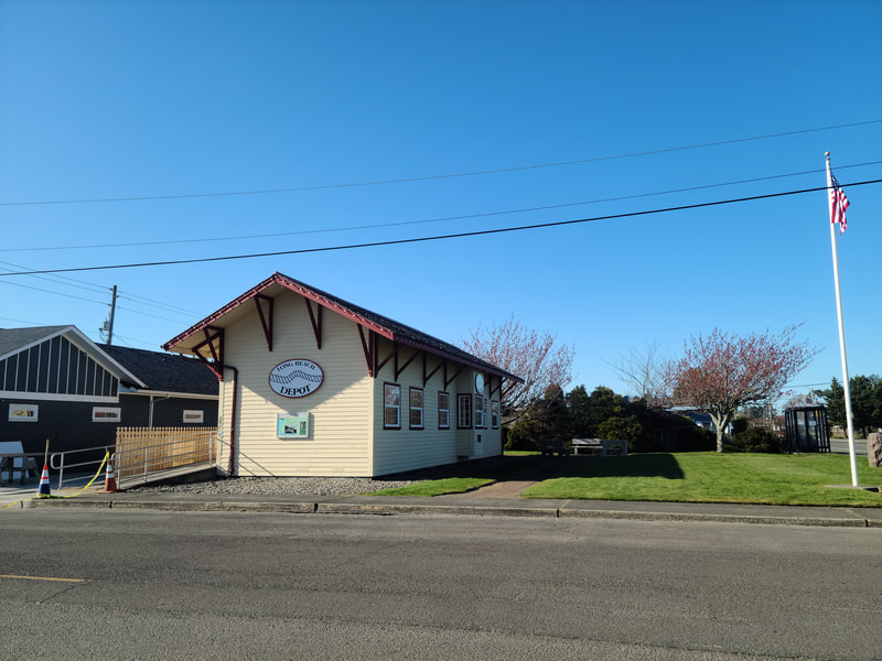
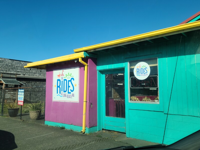
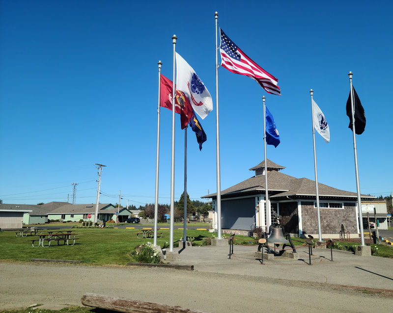
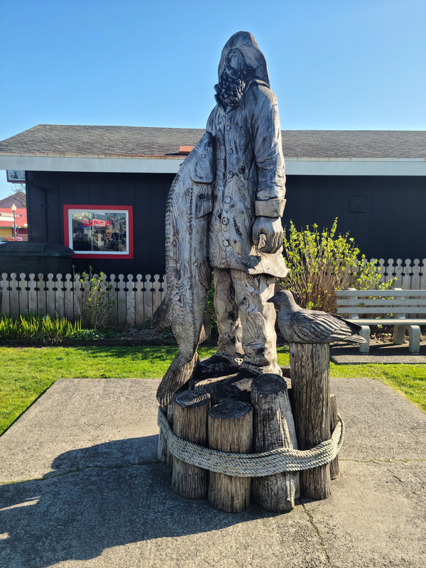
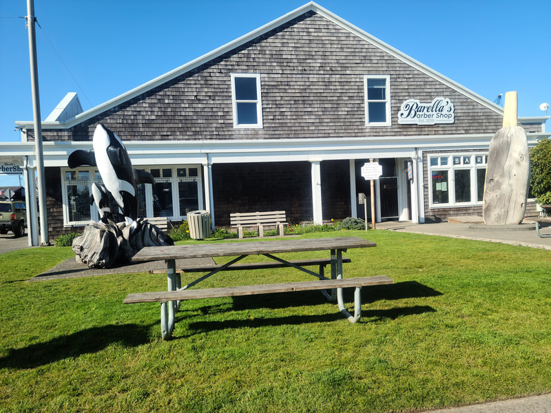
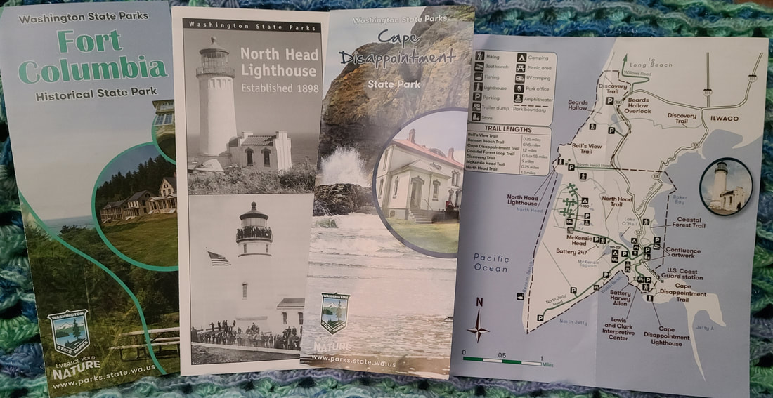
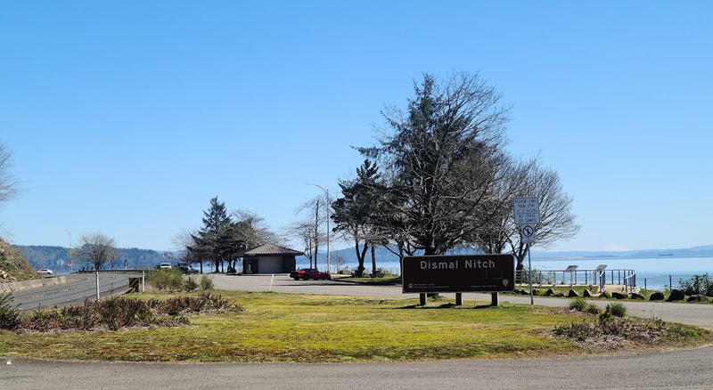
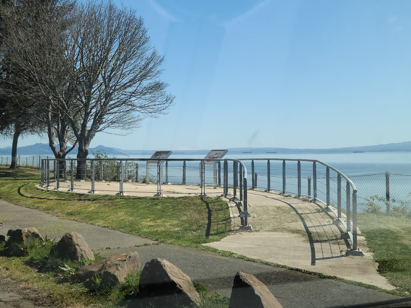
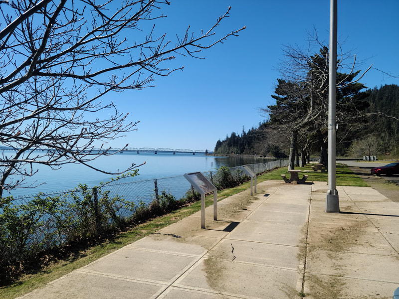
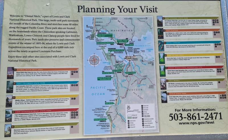
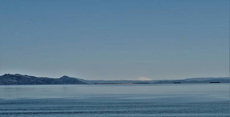
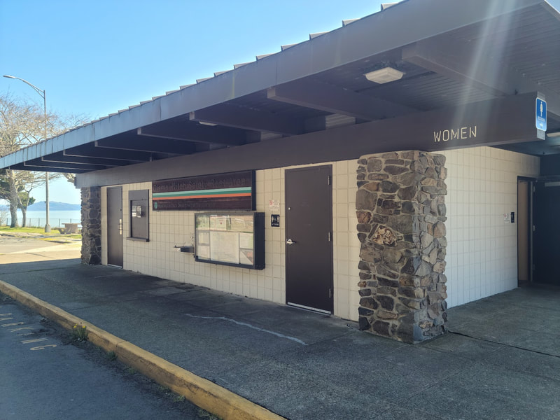
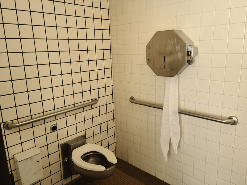
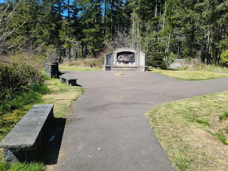
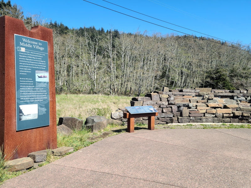
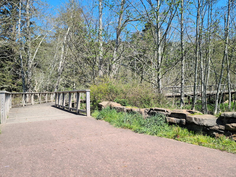
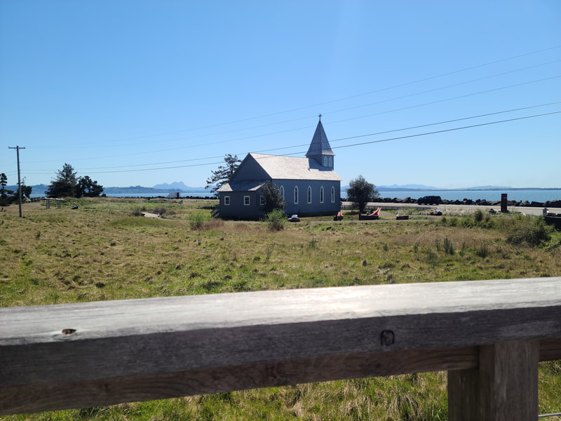
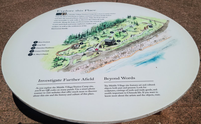
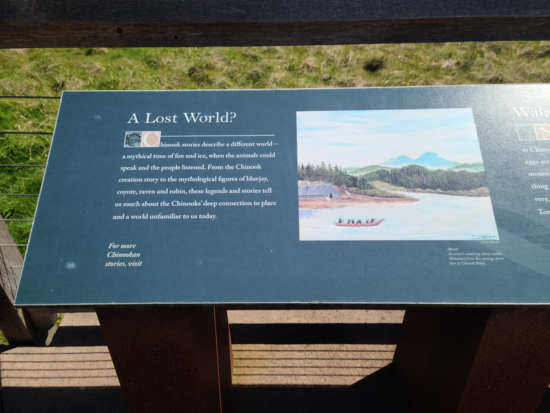
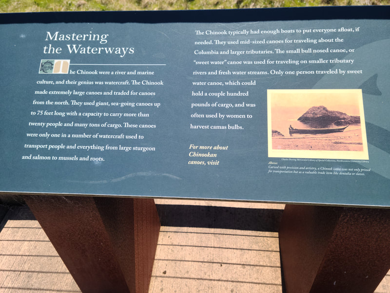
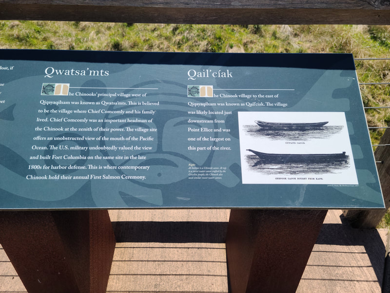
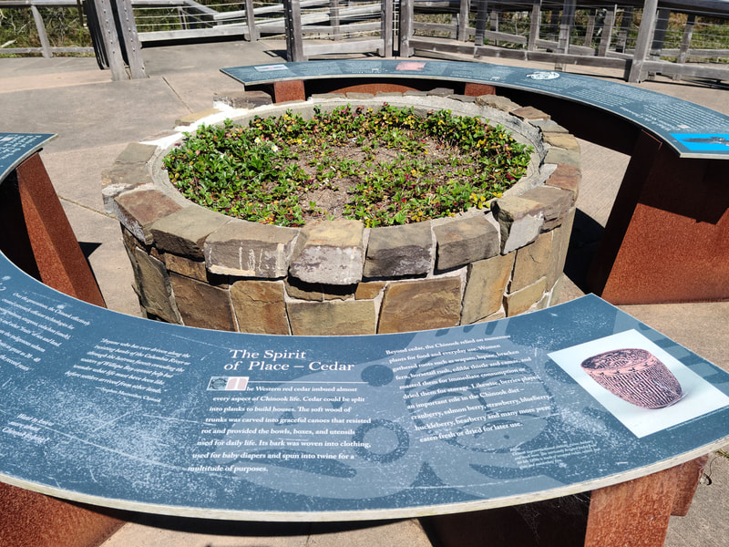
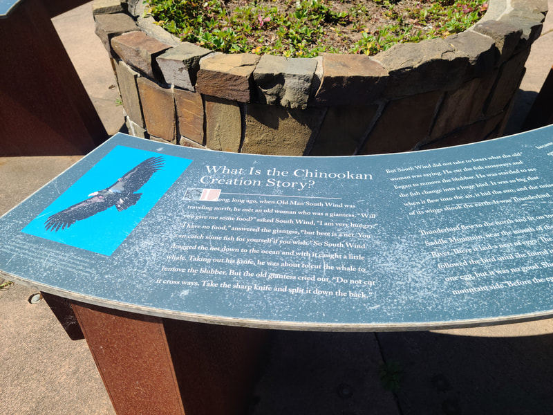
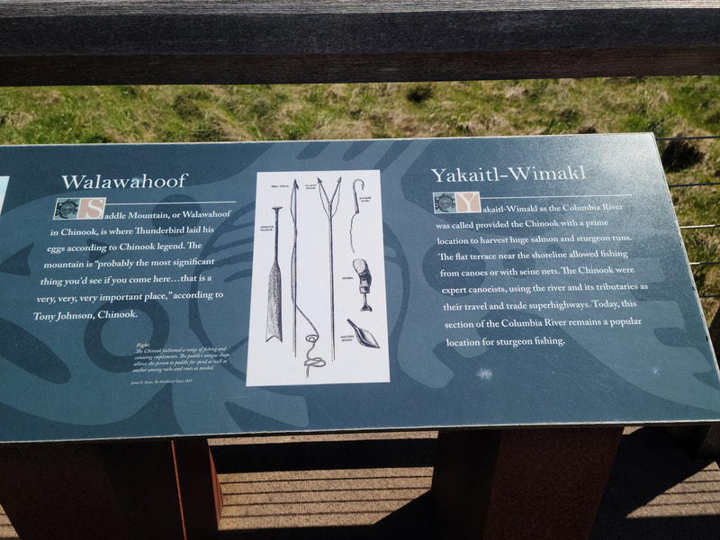
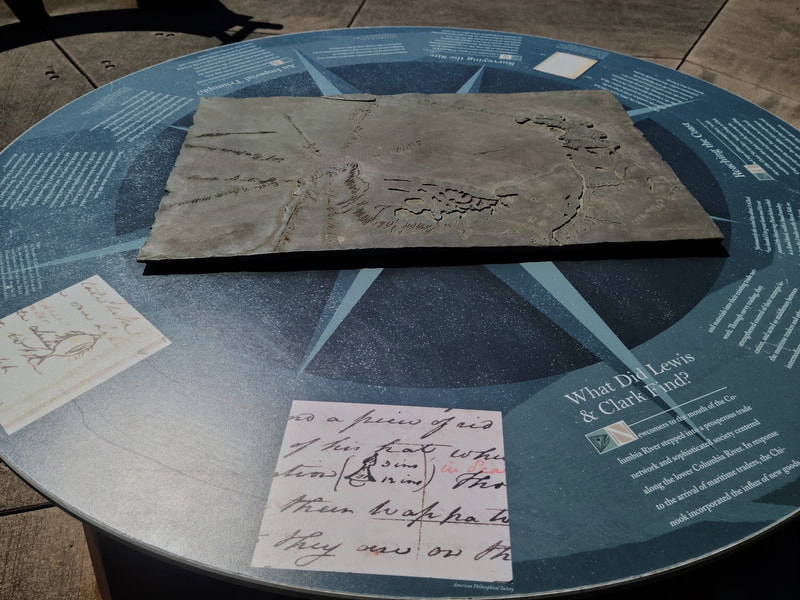
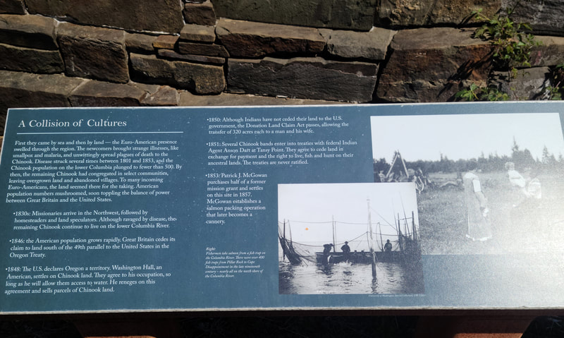
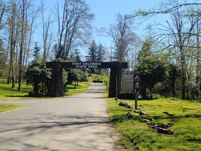
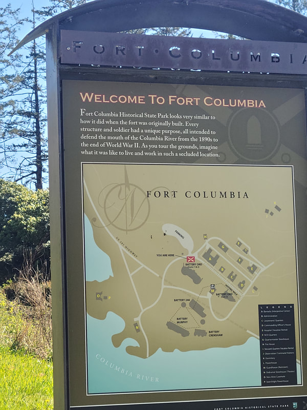
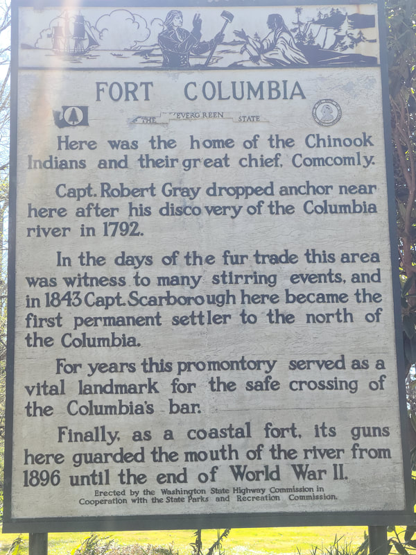
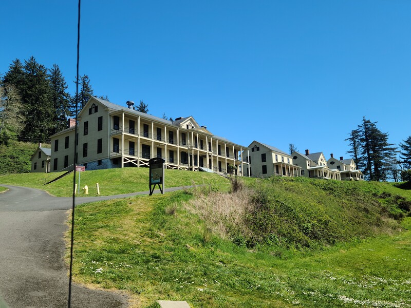
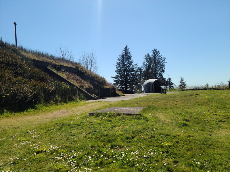
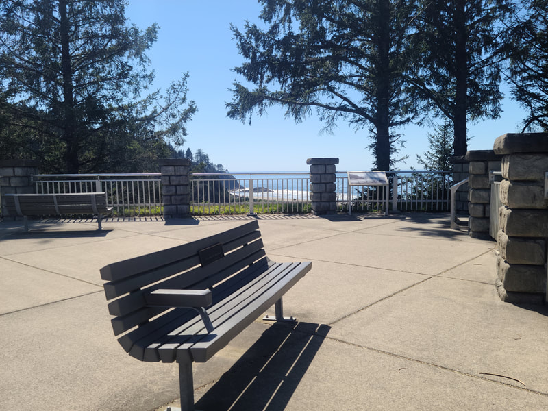
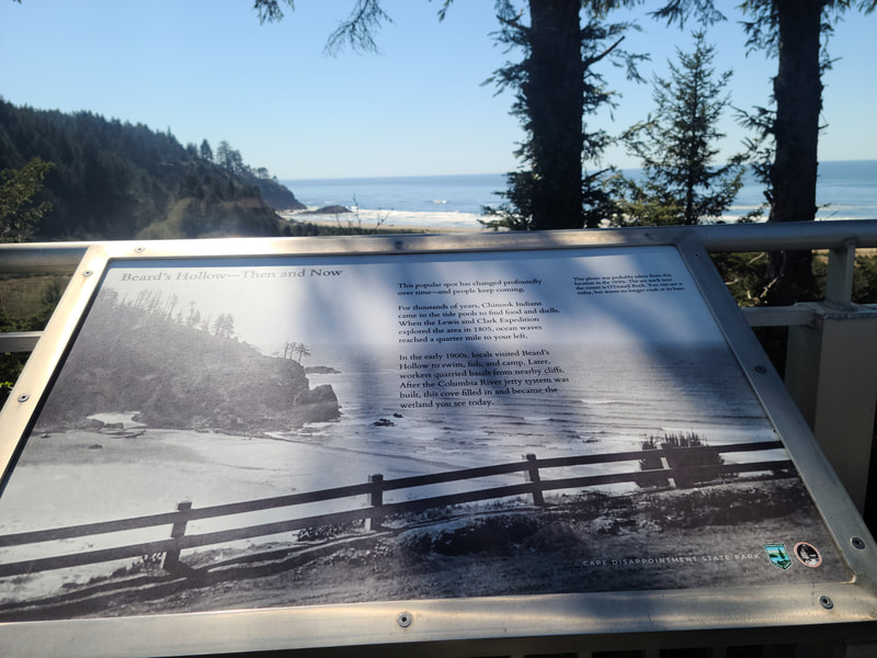
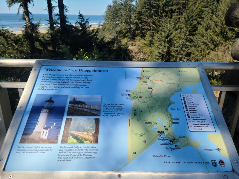
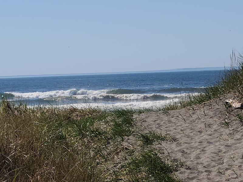
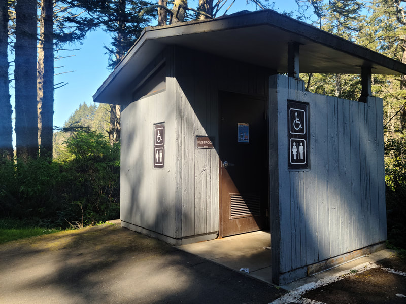
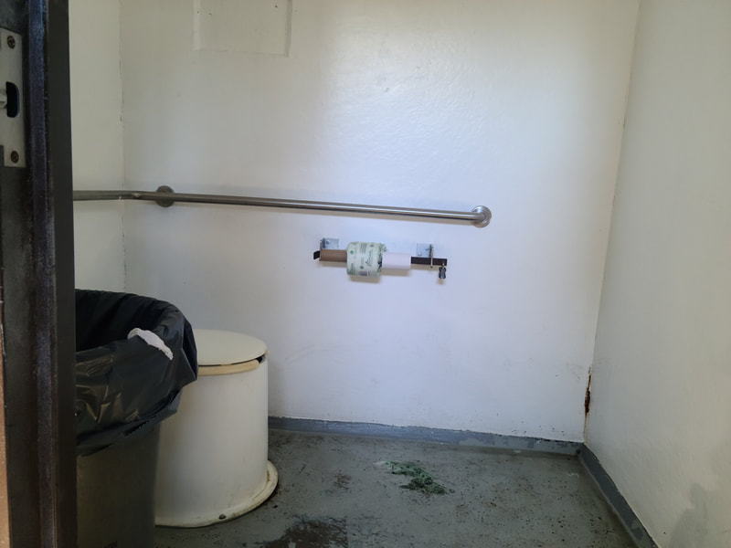
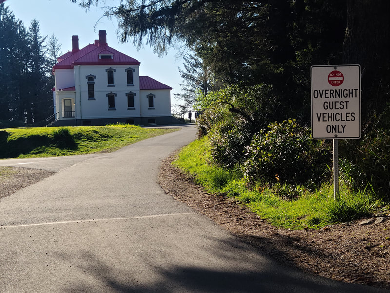
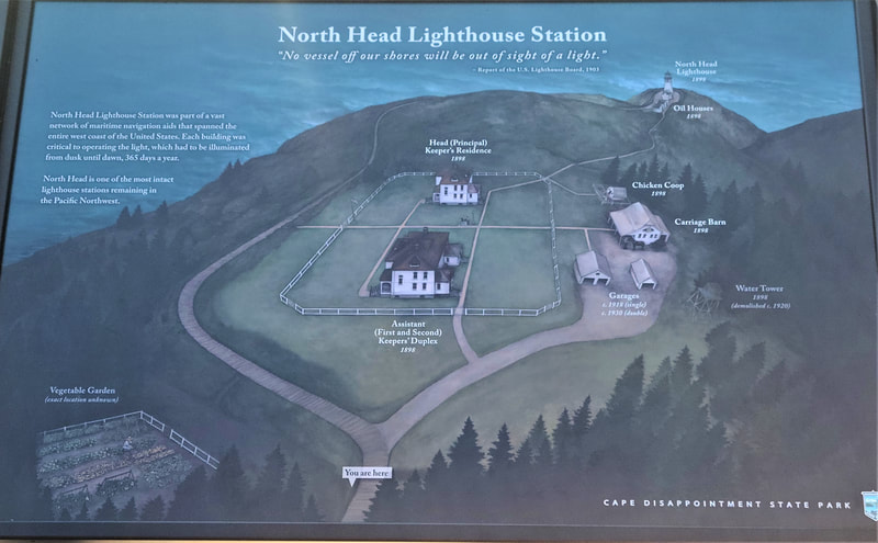
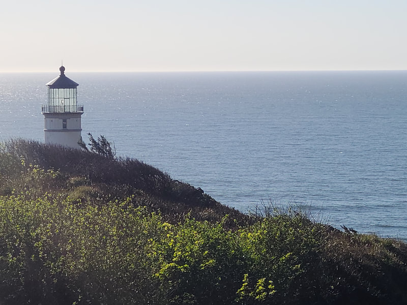
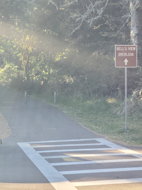
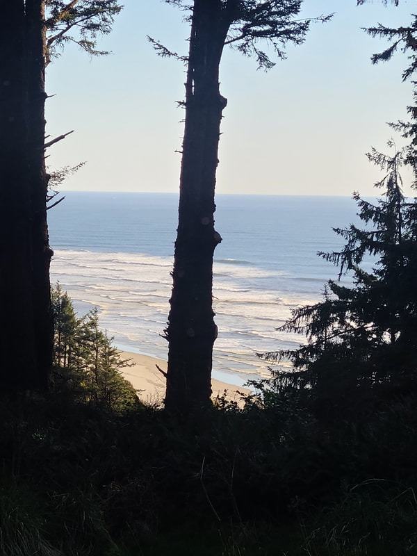
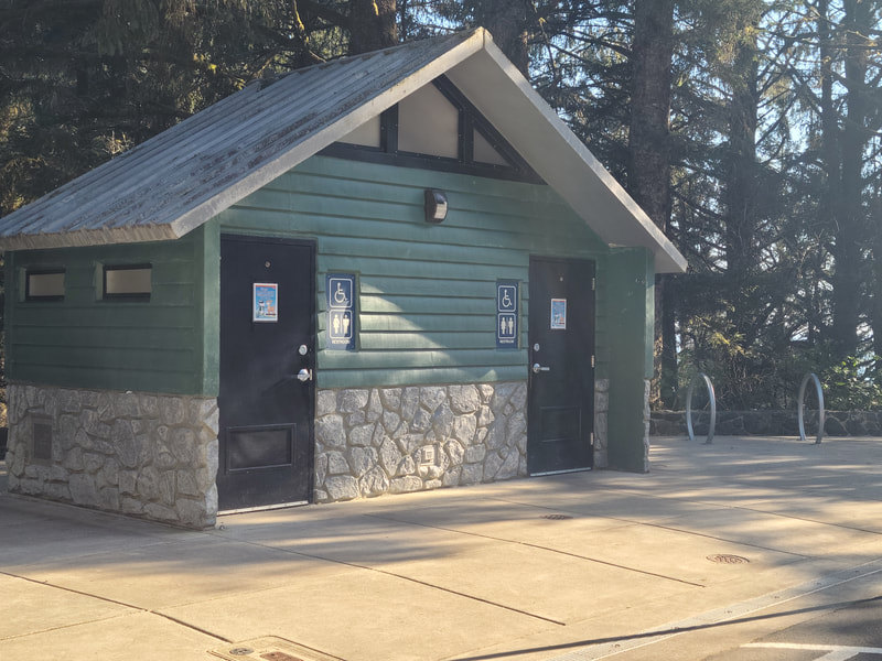
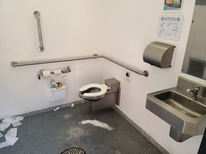
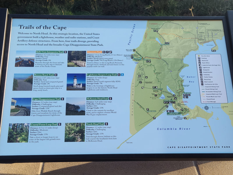
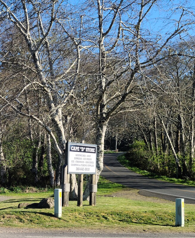
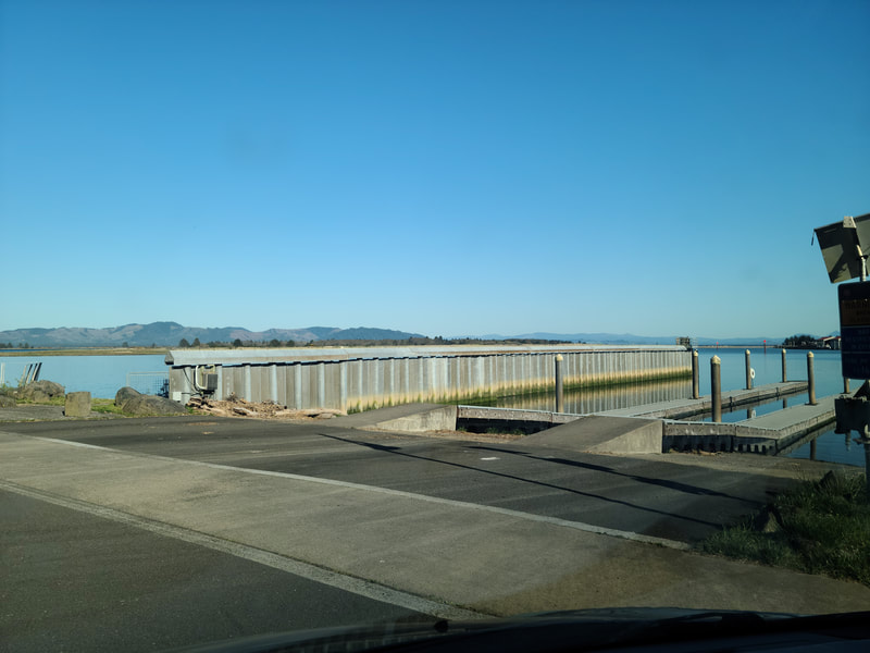
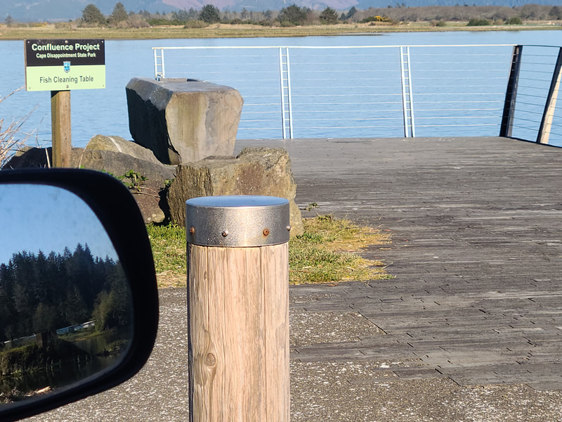
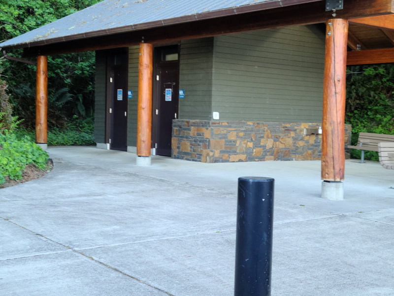
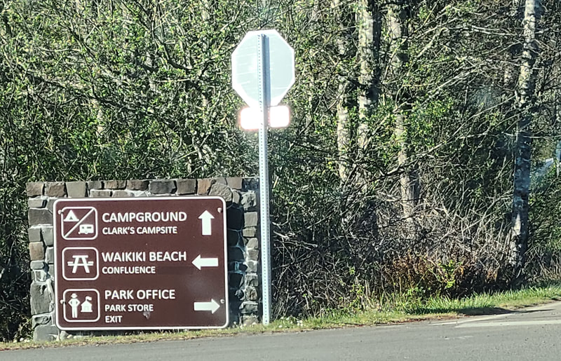
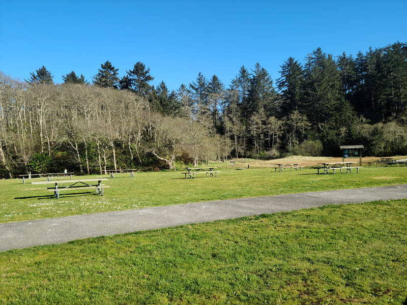
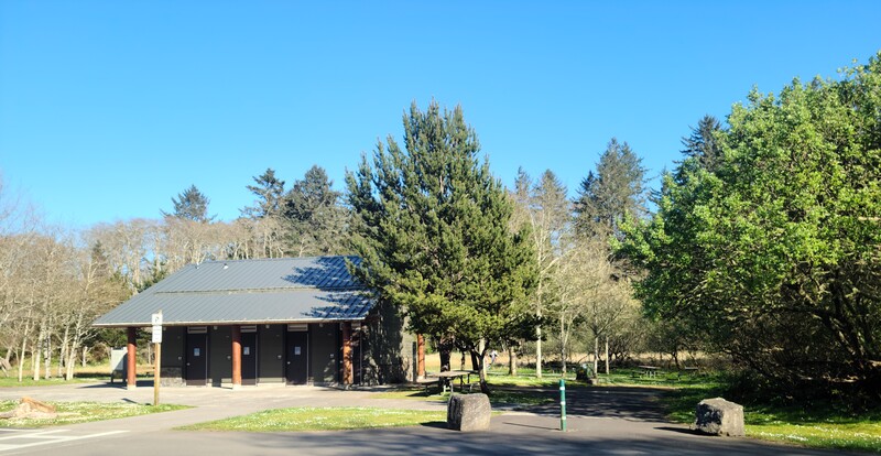
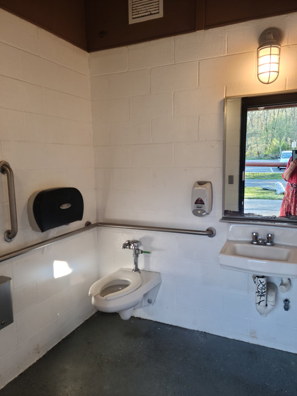
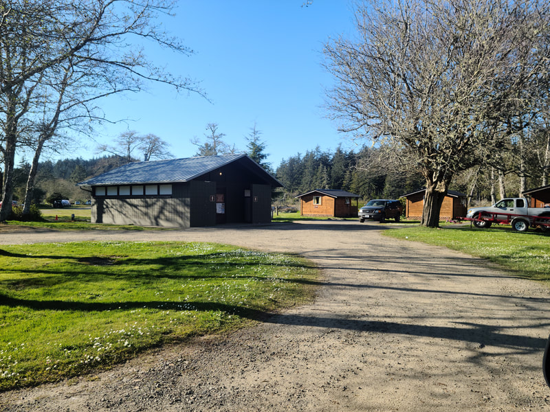
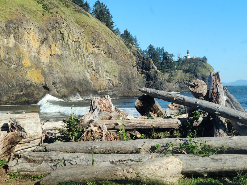
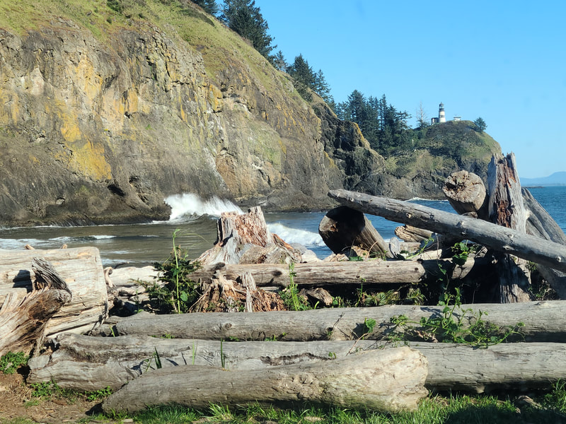
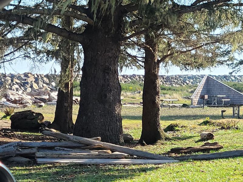
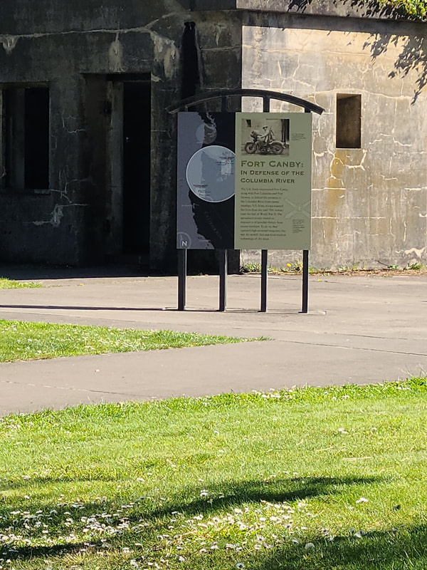
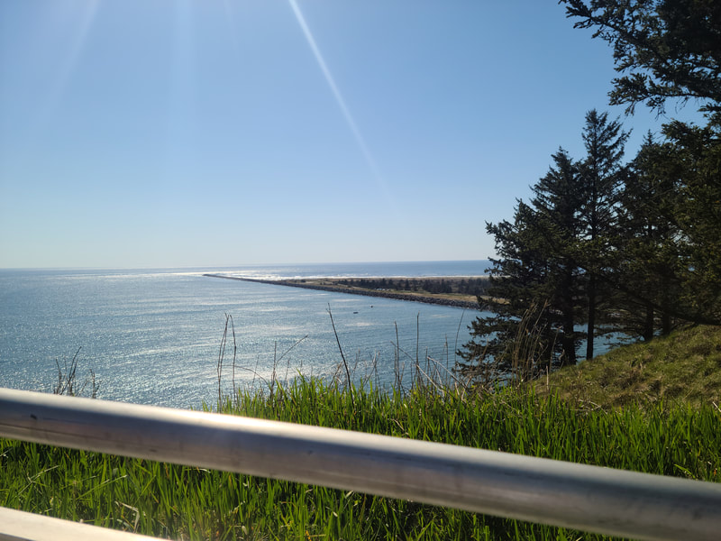
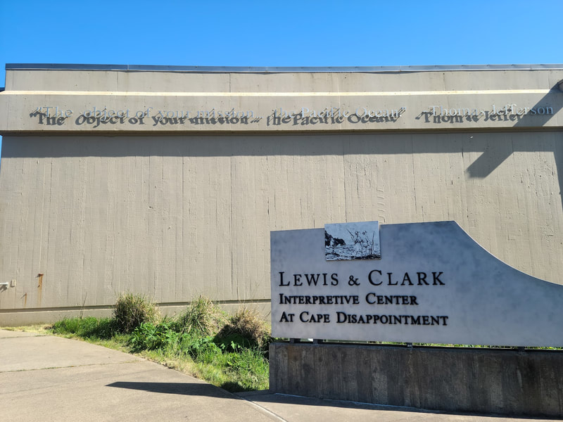
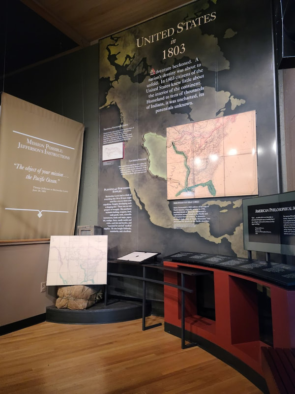
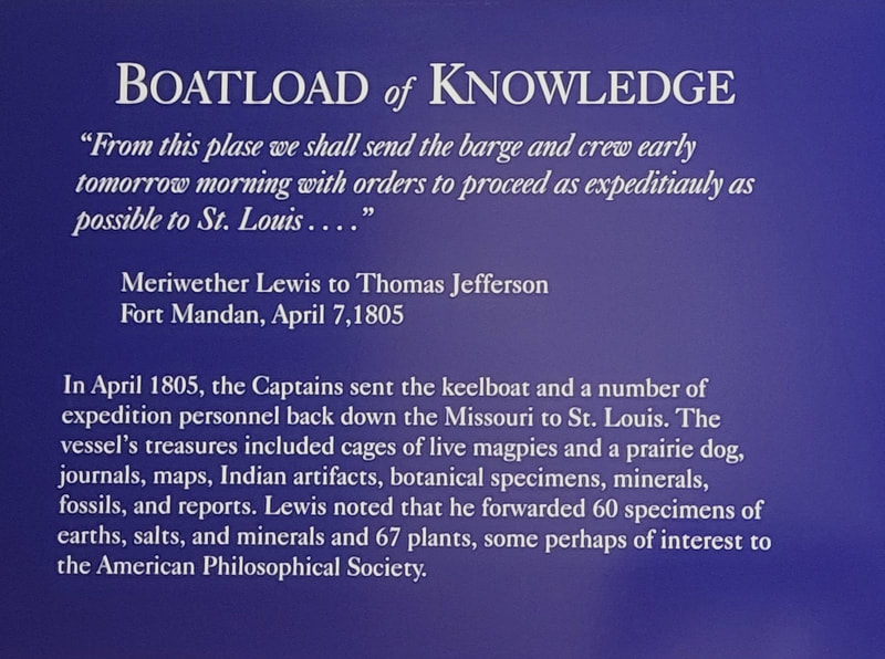
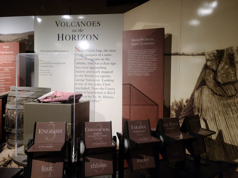
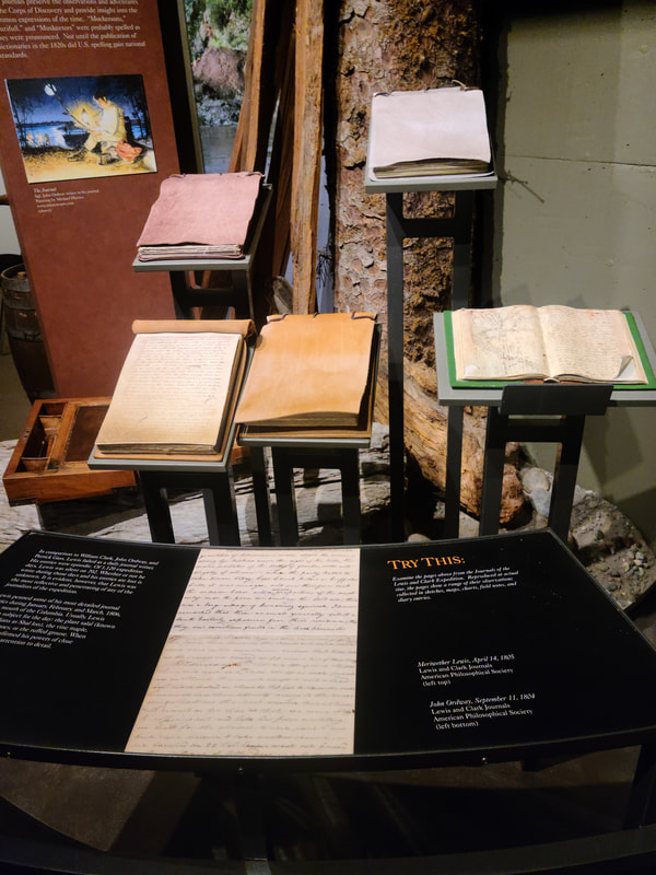
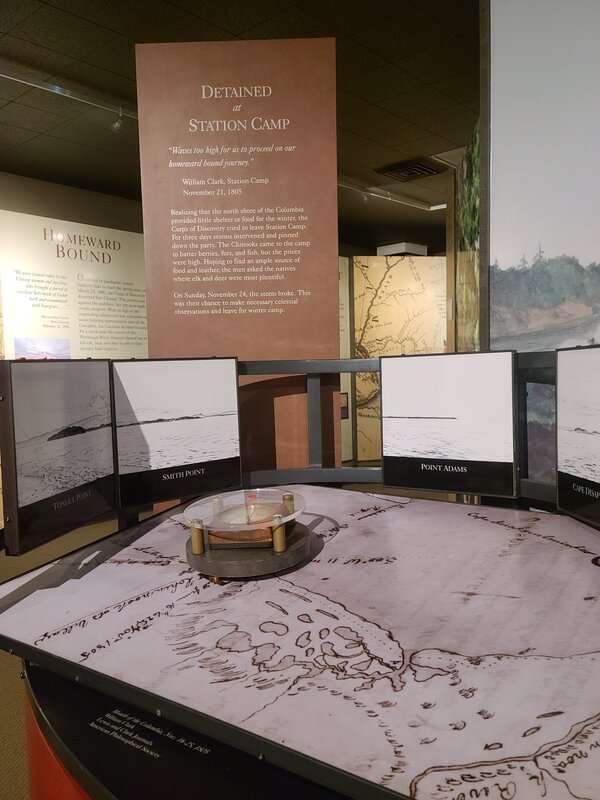
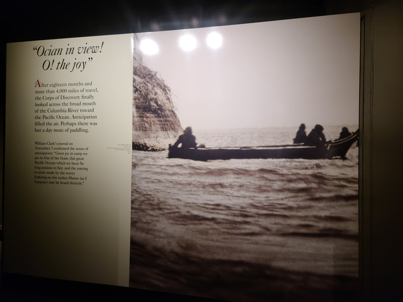
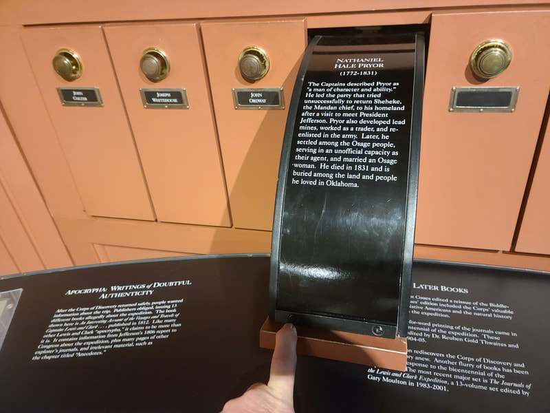
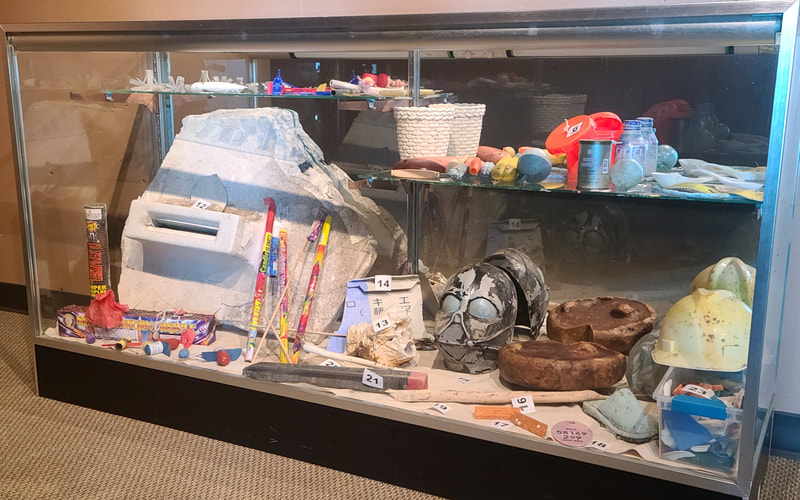
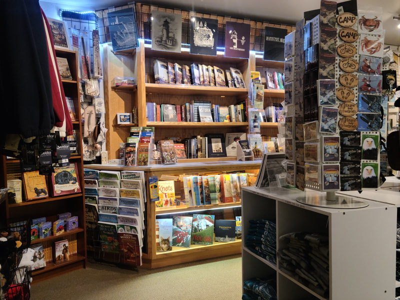
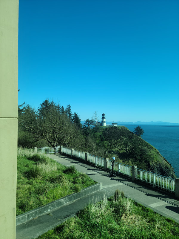
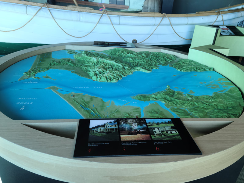
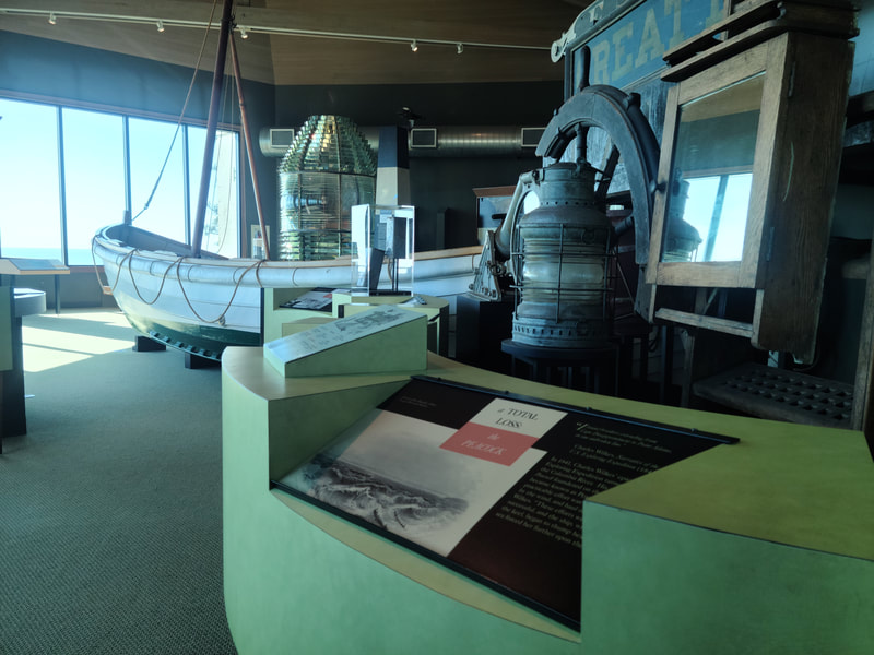
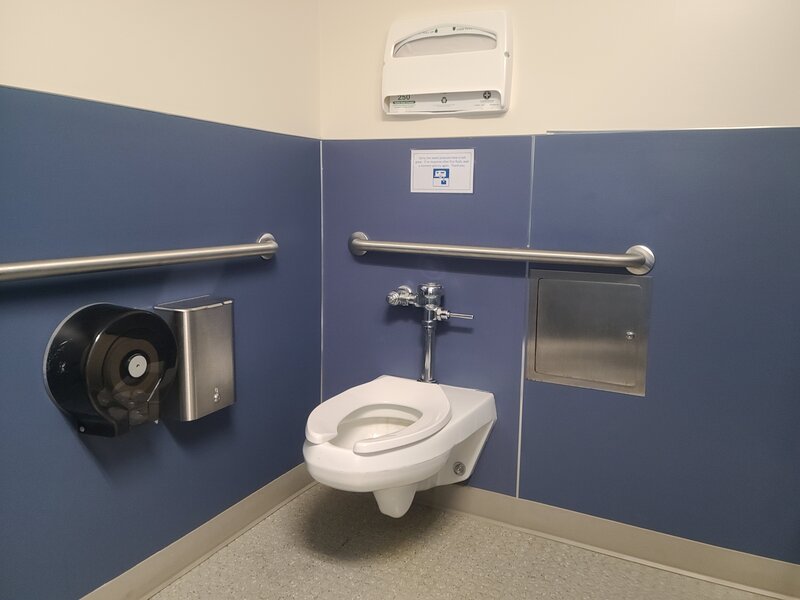
Hwy 30 is the shorter route to Long Beach from Longview WA--Cross back over the Columbia River at Astoria Turn west from the north side of Astoria-Megler Bridge, travel Hwy 101 and pass through or stop in the historic, now tiny, town of Chinook WA, pop. less than 500. For a tiny bit of history ahead of your trip, see https://en.wikipedia.org/wiki/Chinook%2C_Washington A few miles further on Hwy 101 brings you to Ilwaco. For a town of only about 1000 residents, it has quite a lot to offer. For more info, see https://www.visitlongbeachpeninsula.com/tips-tools/villages/ilwaco/ Day 1 was perfect at the beach--Long Beach WA has a half mile boardwalk along the coast with 3 multiple family sized picnic decks. Nice rolling in a wheelchair, interesting interpretive signs, but not really great views of the ocean from a sitting position. The 9 mile nicely paved Discovery Trail follows the coastline more or less, but the ocean is not in view for a person in a wheelchair. It's a great hike, roll/stroll, or bike for exercise. Lots of sandy trails lead from it to the beach. There's quite a lot to see and do beside the beach at Long Beach, check out https://www.visitlongbeachpeninsula.com/things-to-do Seaview--south end of Long Beach WA . . . there's a paved path between the beach and businesses, not too long. Note: Just north of the turn-off for Seaview beach access, Hwy 101 veers east on 40th (Long Beach Peninsula Visitors Bureau is on the corner there), and going forward you are on Hwy 103, aka Pacific Way. Sid Snyder Drive beach access, is next north of Seaview, and the south end of accessible Boardwalk. There's a Go-Cart place the corner of Sid Snyder Dr and Pacific Way, and the World Kite Museum is west of it on Sid Snyder. Washington State International Kite Festival is held at Long Beach the 3rd full week of August annually. The Boardwalk, Long Beach WA--abt a half mile long, wheelchair accessible, but shufflers watch for nails sticking up a little, and somewhat rough surface. Bolstad Ave--the north end of the Boardwalk at Long Beach WA: city hall, accommodations, restaurants . . . Some photos of downtown Long Beach WA More about the Villages of the Long Beach peninsula, WA https://www.visitlongbeachpeninsula.com/tips-tools/villages/ Day 2 was a WA state park free day, so that's when we explored Cape Disappointment (which was not at all disappointing), the Lewis & Clark Interpretive Center, and other like venues. Dismal Nitch/Megler rest area--after you cross the Columbia River north from Astoria OR on the Astoria-Megler Bridge, turn east just a little way to this picturesque place for picnic or a pitstop. The accessible family type restroom has its own exterior entrance, separate from the men's and women's on each end. Every picnic table is set with the view in mind, they are on pavement, and there is a nice walk all along with interesting interpretive signs. Continue strolling/rolling west on a paved trail leading to a Lewis & Clark monument. It's worth seeing. http://columbiariverimages.com/Regions/Places/megler.html Middle Village/Station Camp Park--head west from Dismal Nitch, or the north end of the Astoria-Megler Bridge Soon you'll see a raised deck, a quaint old church, and another raised deck at Middle Village/Station Camp. It's worth getting out and taking a walk along the looped trail and the raised decks (though perhaps morning or evening is better than mid-day when it's hot). You can learn about the native peoples, settlers, and the Lewis and Clark experience when they camped near the site. Replica canoes offer a comparison of different styles created by different peoples. You can look through a telescope at labeled points of interest. Cool 3-D bronze map. Here's a July 2020 article about the park from the Chinook Observer newspaper https://www.chinookobserver.com/life/middle-village---station-camp/article_89b70a92-bc97-11ea-9a48-df88993eb096.htm Fort Columbia Historical State Park--not far (NW) up Hwy 101 from the north end of the Astoria-Megler (and just before reaching the village of Chinook WA), you might miss the turn-off for this park going north, as it comes right after a tunnel. Although the Interpretive Center was closed for COVID, it was an interesting place to drive through, view the views, picnic if you like . . . It's on a very steep hillside, but a wheelchair could managesome areas . You might see more from your vehicle than a wheelchair. Hikers can explore considerably more. The able-bodied can arrange to stay, and there's an entertainment venue. More info at https://parks.state.wa.us/506/Fort-Columbia Cape Disappointment State Park--go straight west through Ilwaco WA https://parks.state.wa.us/486/Cape-Disappointment includes a slide show Beard's Hollow Overlook--photos cannot do this justice. Great spot to lunch and look, if you like. No restroom. Beard's Hollow Trailhead--nice paved trail through the forest; lengthy hike to get to the ocean view for a wheelchair, off-shoots are shorter for those who can hike. North Head Lighthouse--follow the signs/maps. An accessible place to explore, with accessible restrooms and interpretive signs, but a manual wheelchair will need a pushy person to ascend the hill. Bell's View Trail is only a quarter mile long (one way), right off the parking lot--said to be easy and paved, but doesn't show that it's ADA. Looks like it has a great viewing platform at the end. The Lighthouse Keepers Loop Trail is half mile paved loop and is marked ADA (at least the south section). 5 min video Long Beach & lighthouses https://www.youtube.com/watch?v=3KVMYgERk0g&ab_channel=DaveDurkee The Boat Launch--there's a convenience store at the intersection to the boat launch and day areas/campground. Picnic and Camping--pretty well all flat; not all roads created equal Waikiki Beach just down the road from the picnic area; not to be missed! Lewis & Clark Interpretive Center--literally up the narrow road from the picnic and camping area
https://capedisappointment.org/lewis-clark-interpretive-center https://parks.state.wa.us/187/Cape-Disappointment includes short slide show short video https://www.youtube.com/watch?v=pD3x5koS57k&ab_channel=JoAnnaWeeks |
Wheelchair WomanI've been in a wheelchair for 30+ years. It poses some challenges for traveling. Maybe others can benefit from my experiences. Archives
June 2024
Categories
All
|

 RSS Feed