|
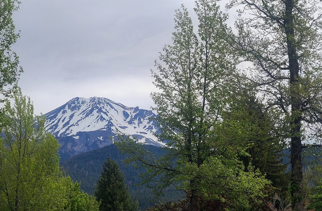
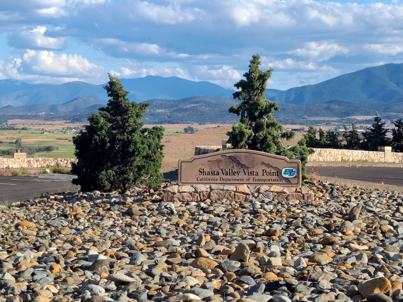
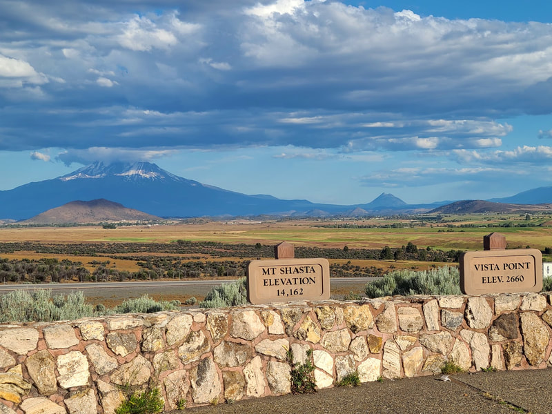
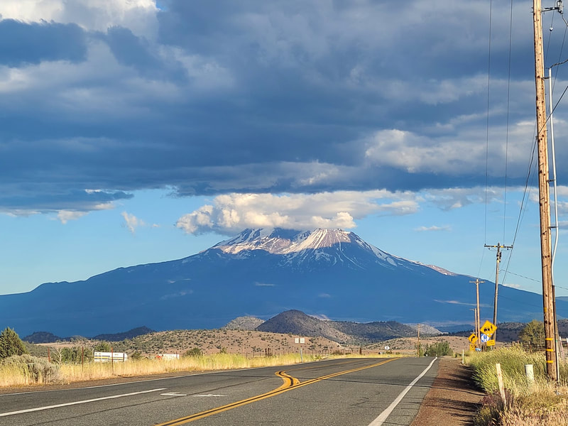
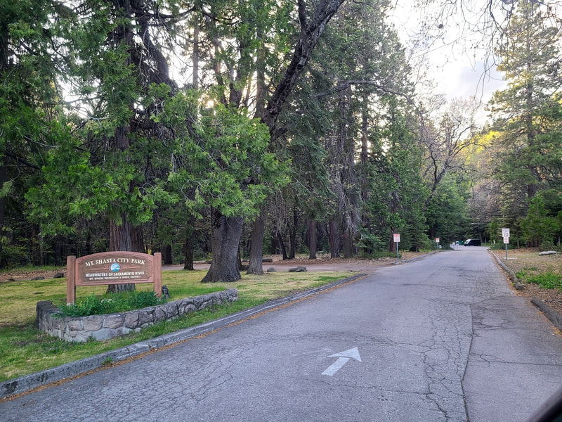
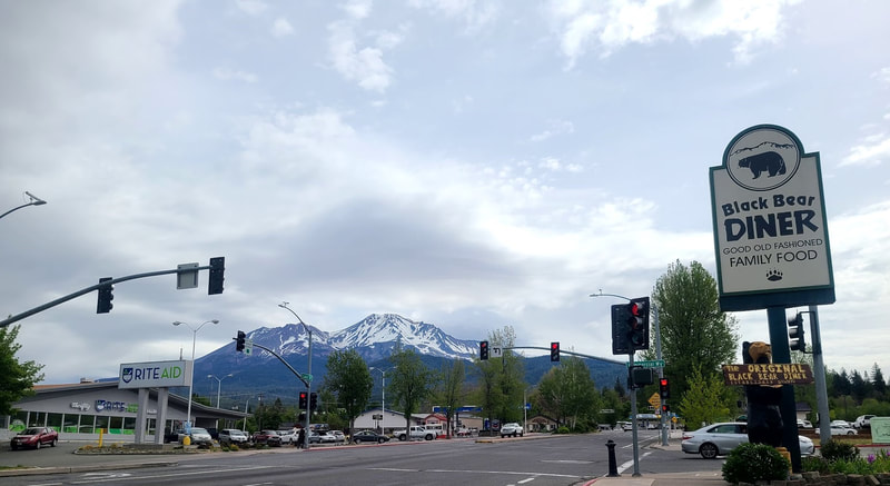
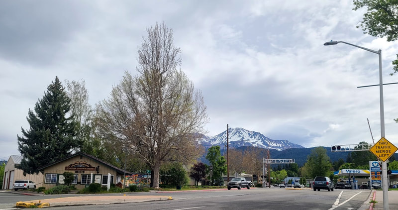
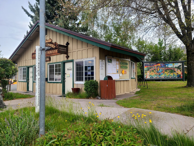
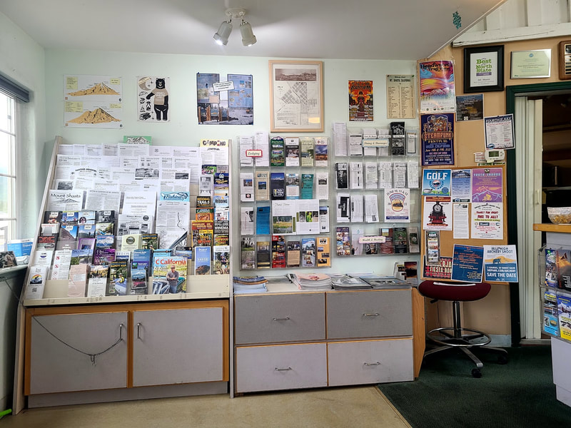
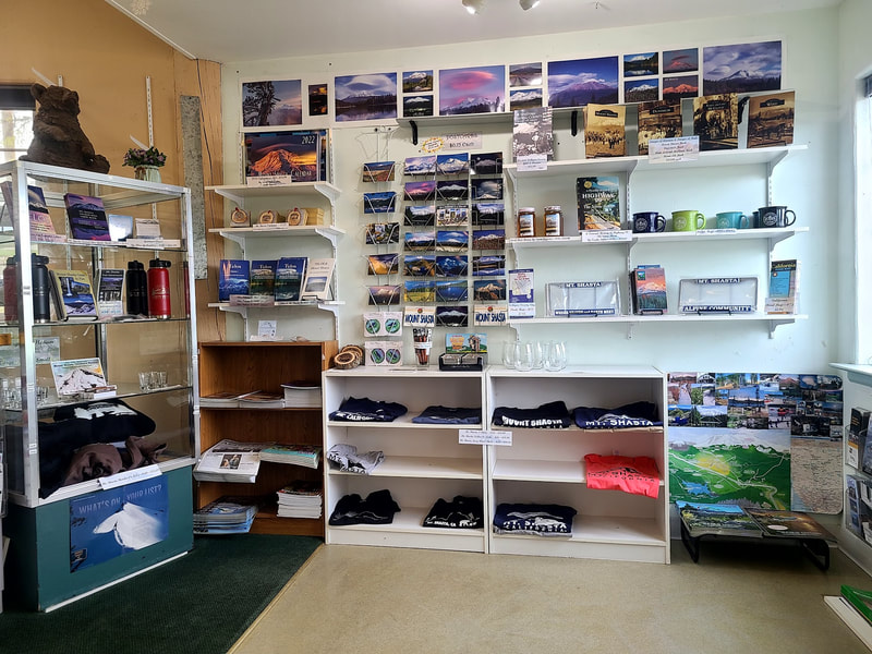
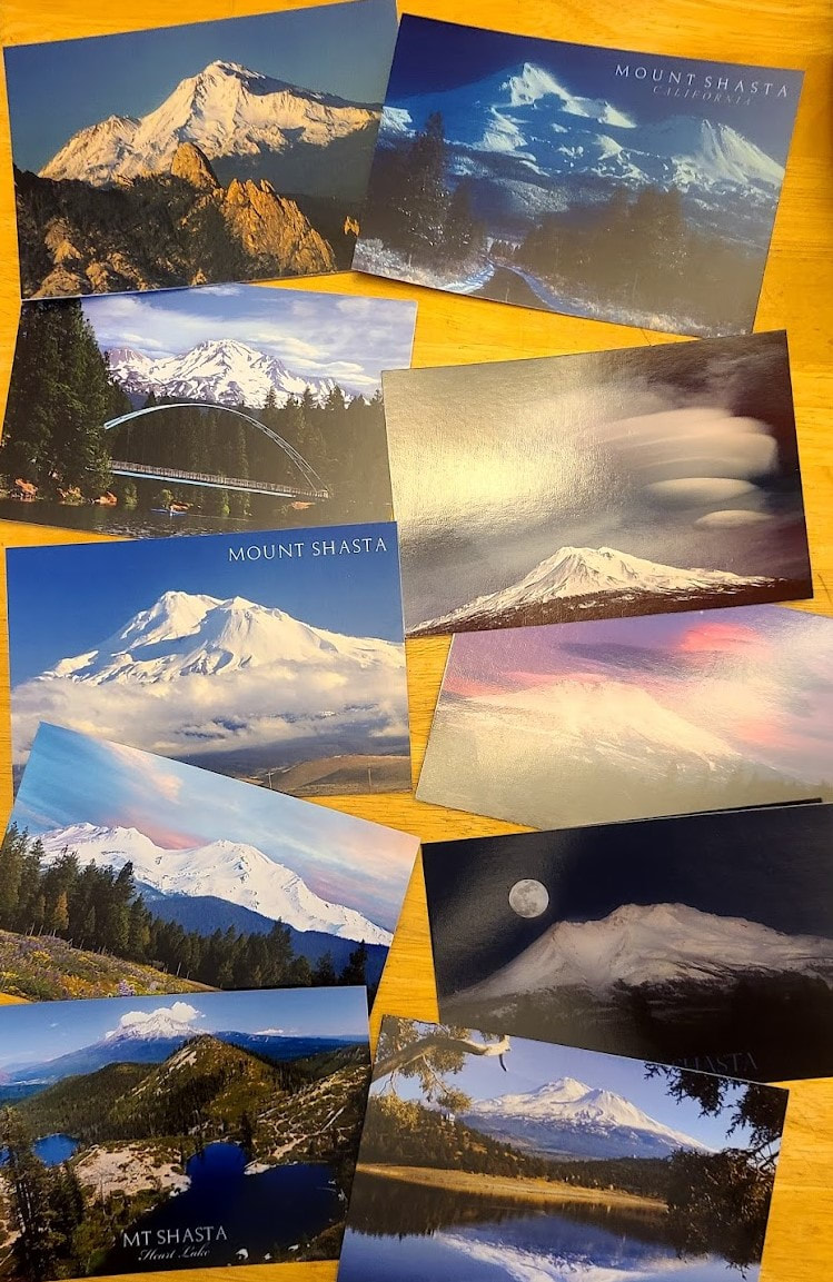
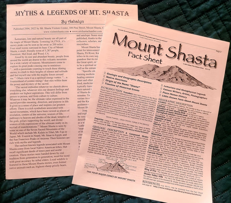
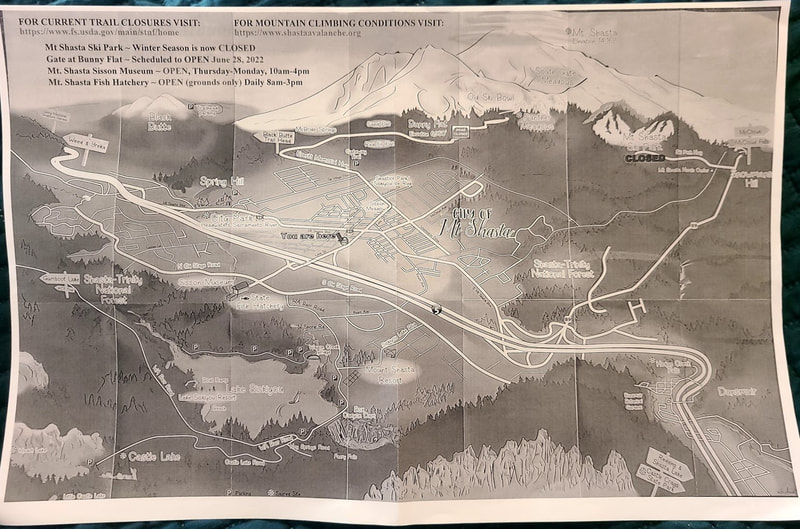
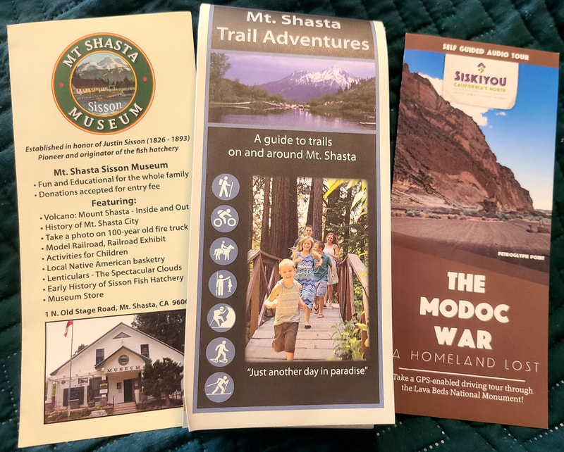
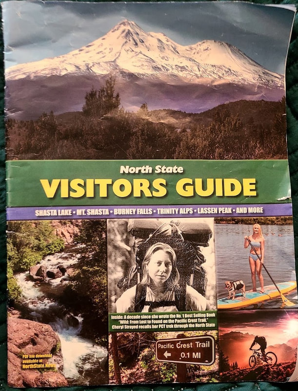
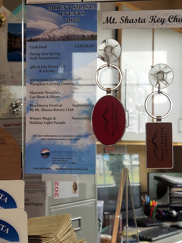
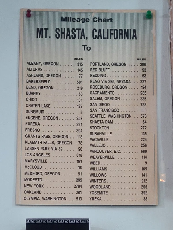
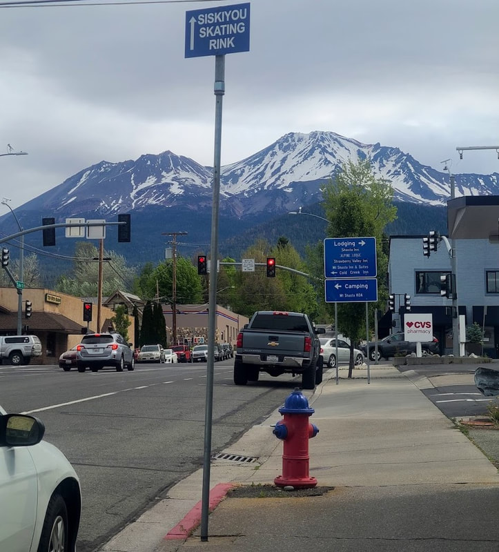
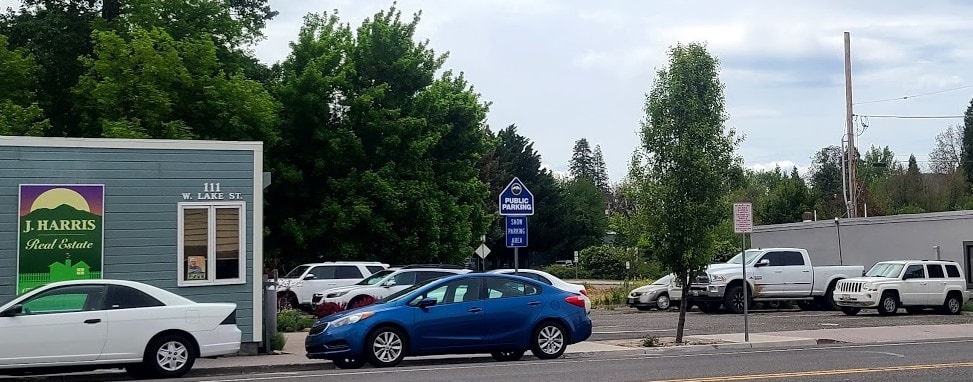
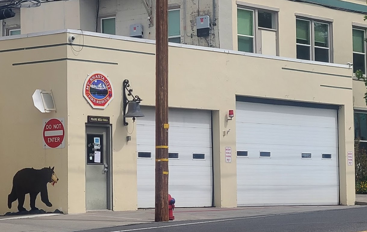
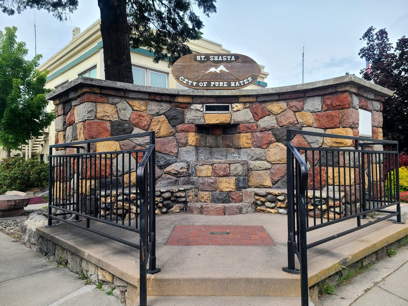
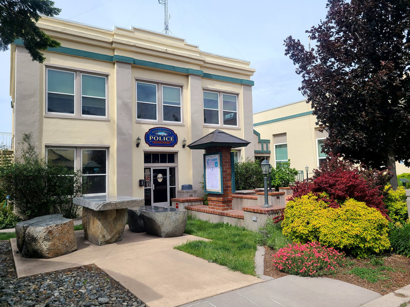
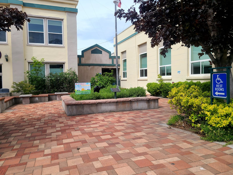
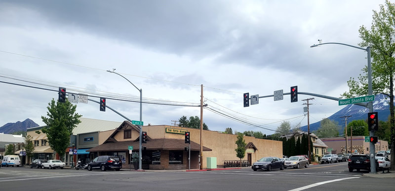
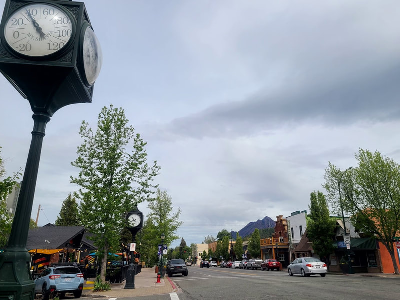
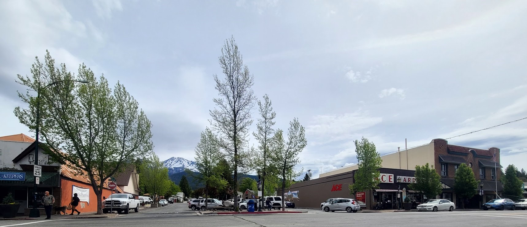
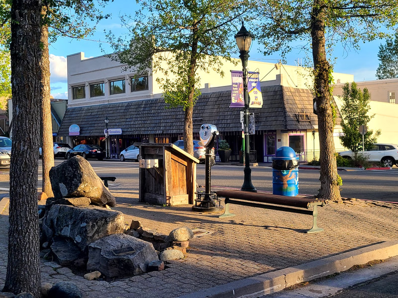
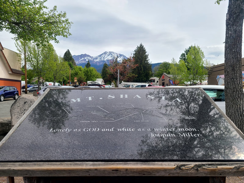
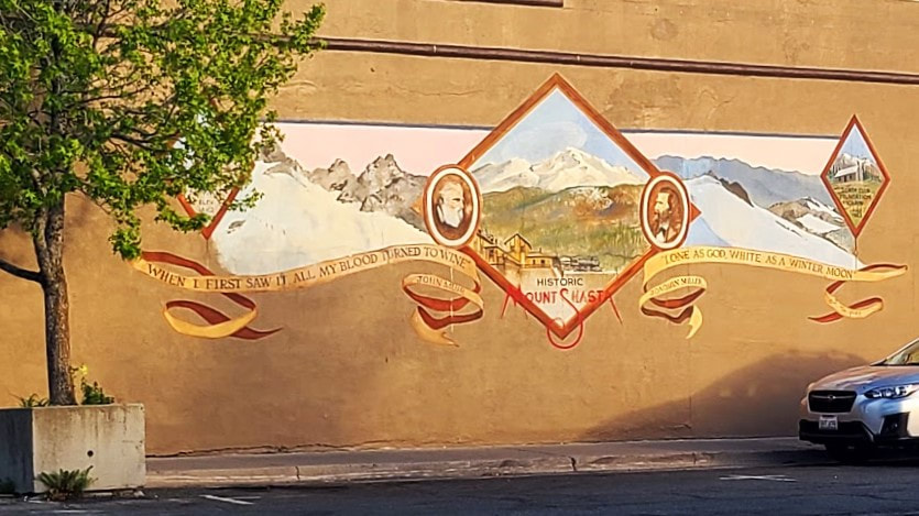
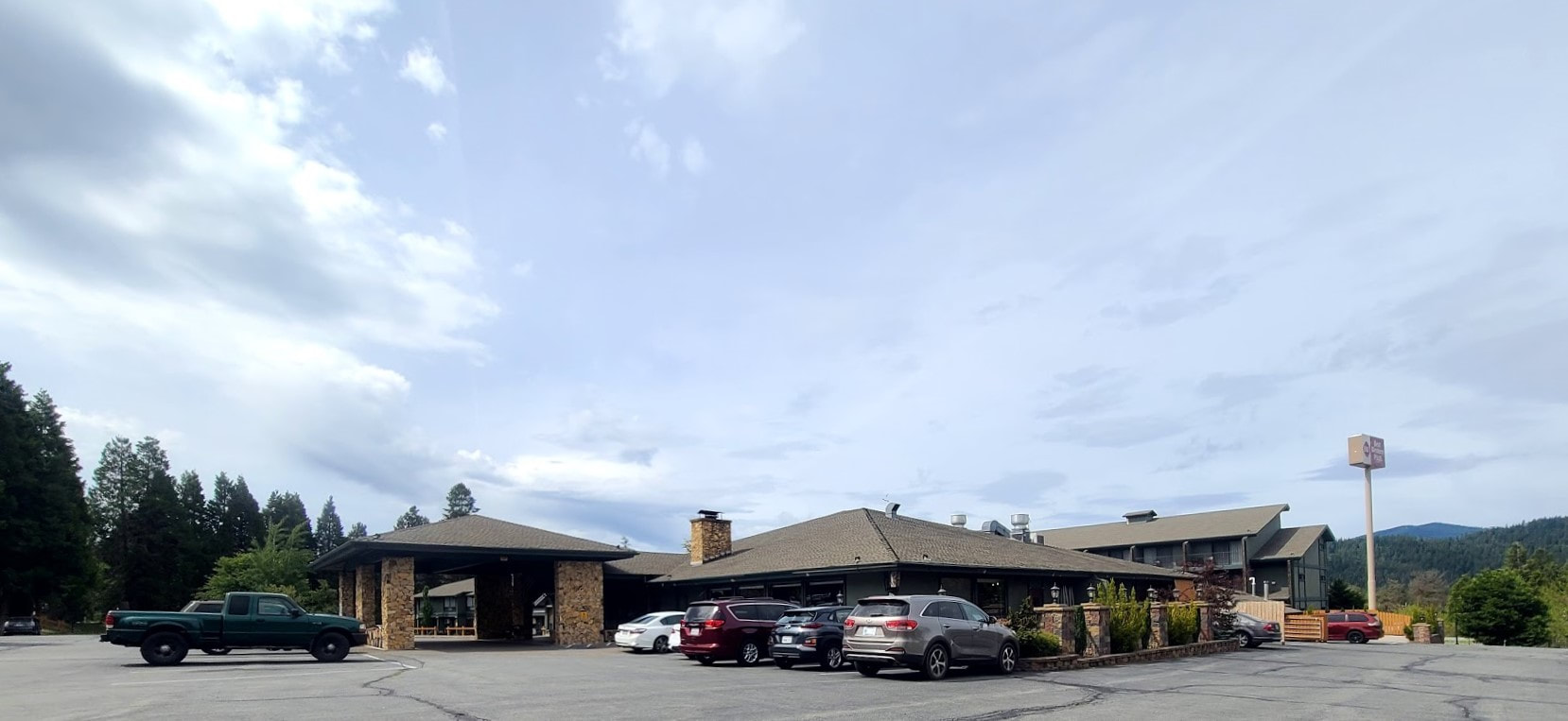
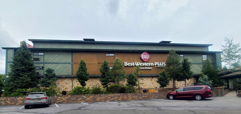
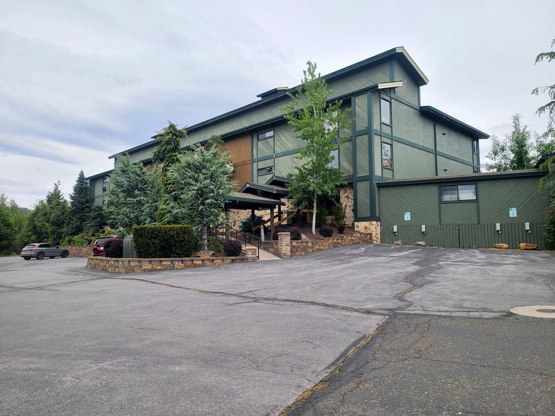
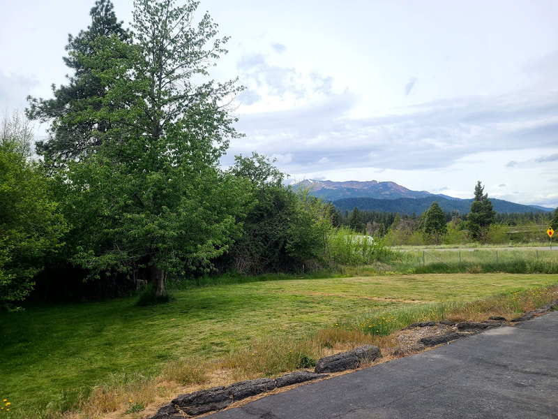
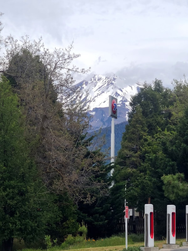
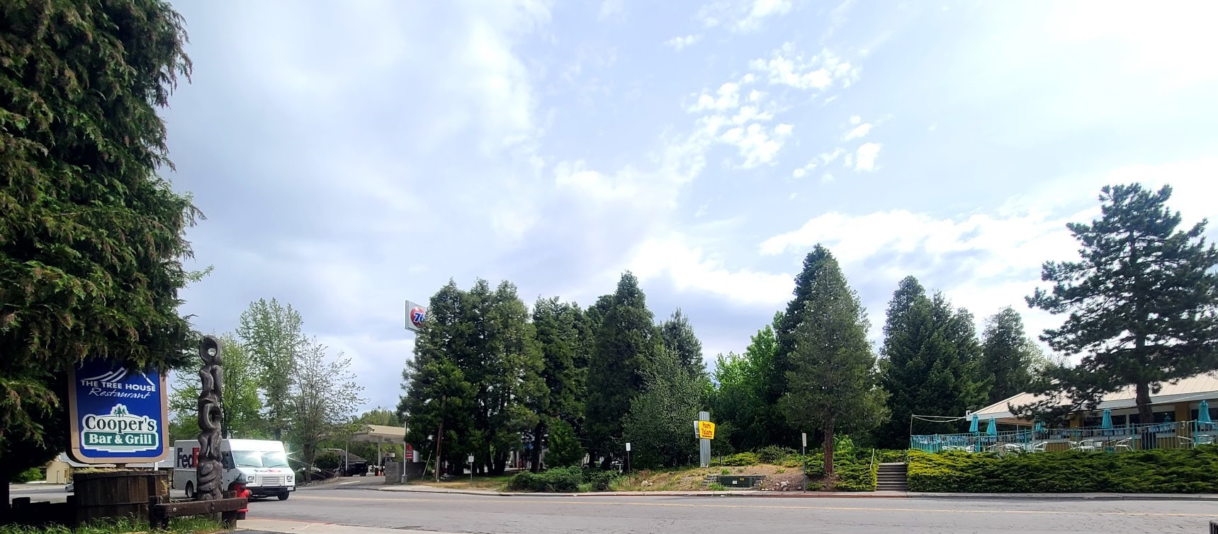
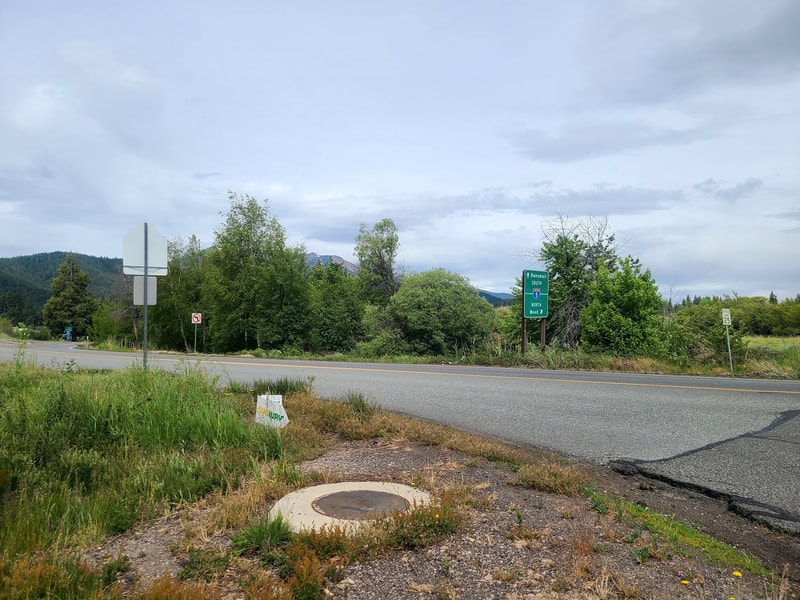
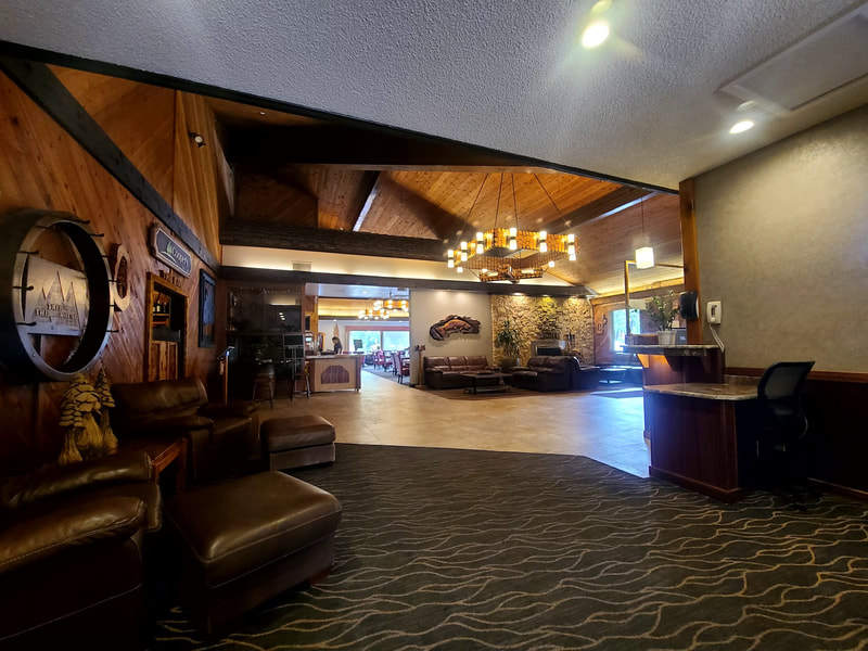
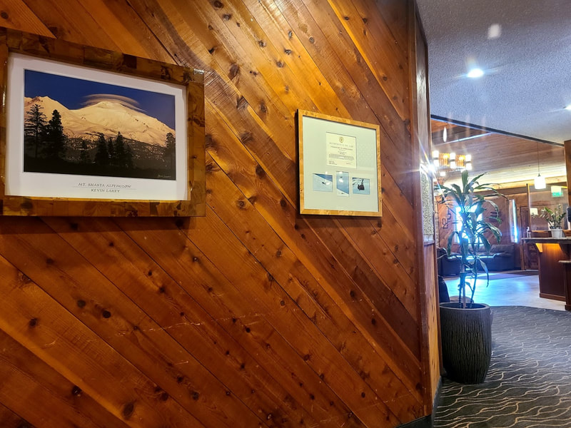
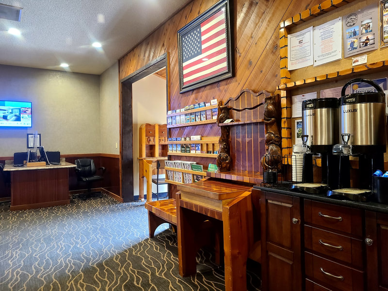
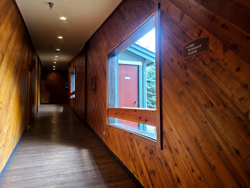
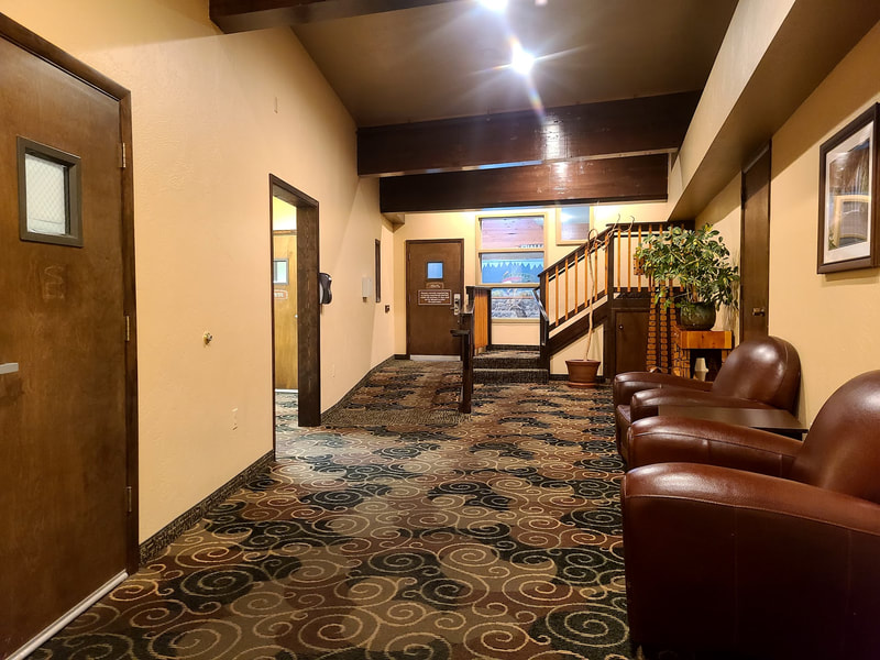
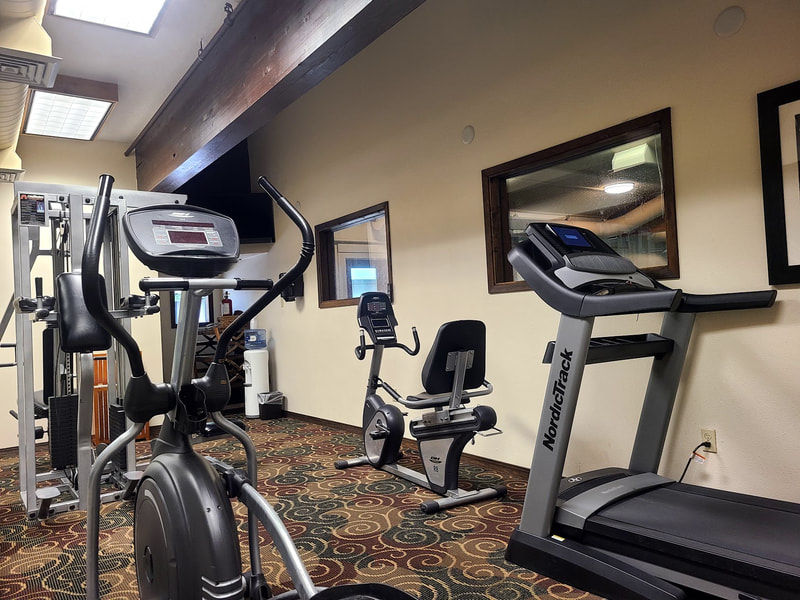
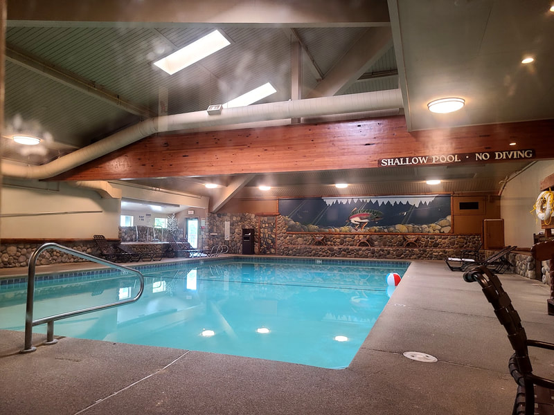
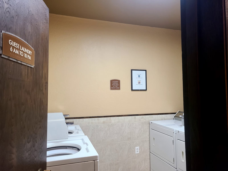
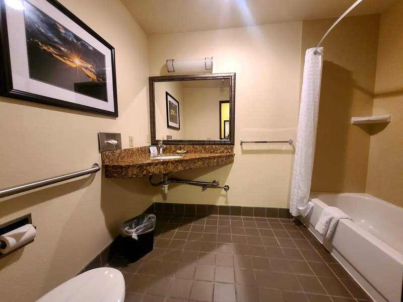
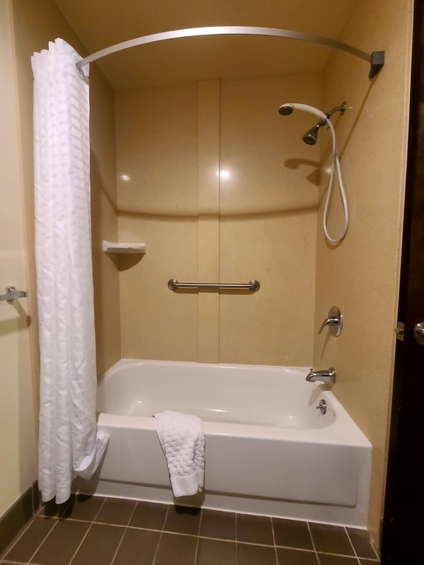
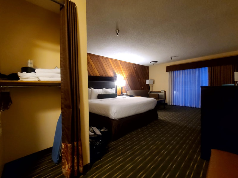
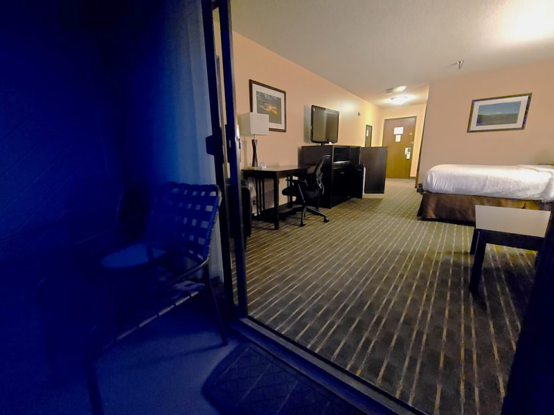
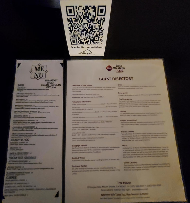
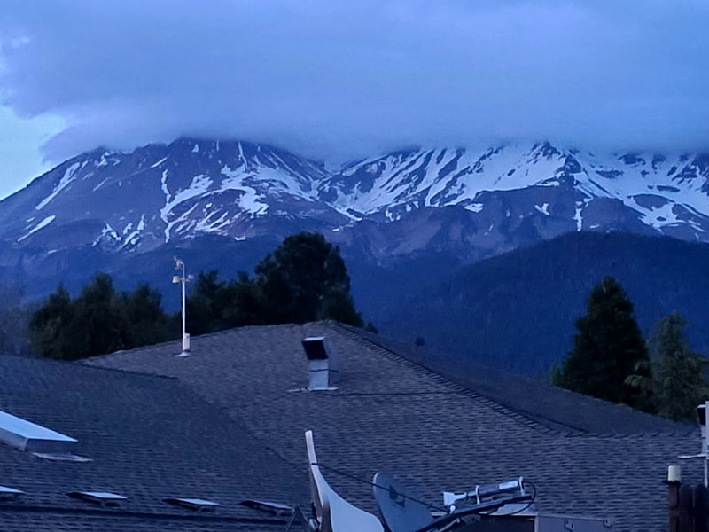
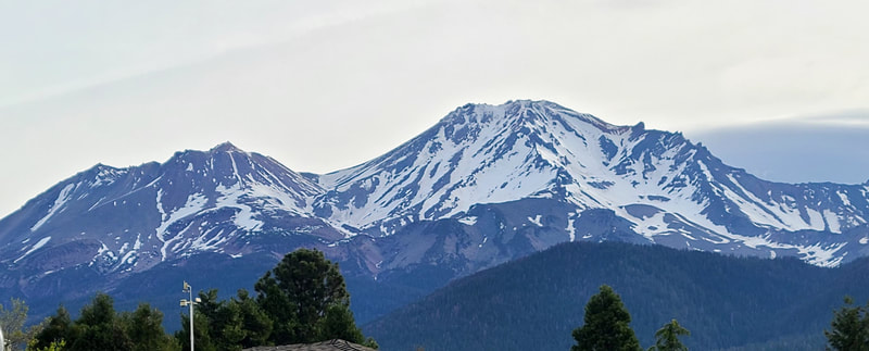
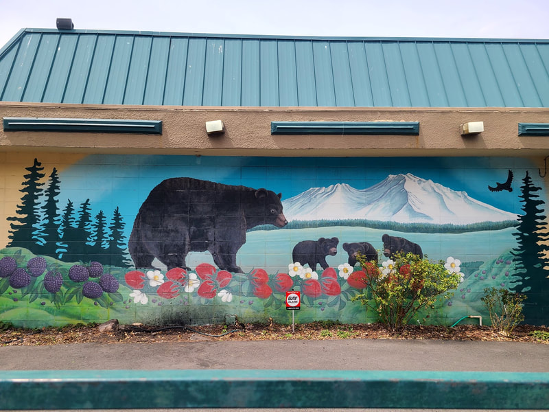
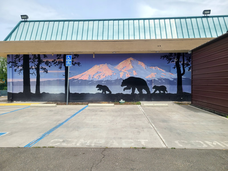
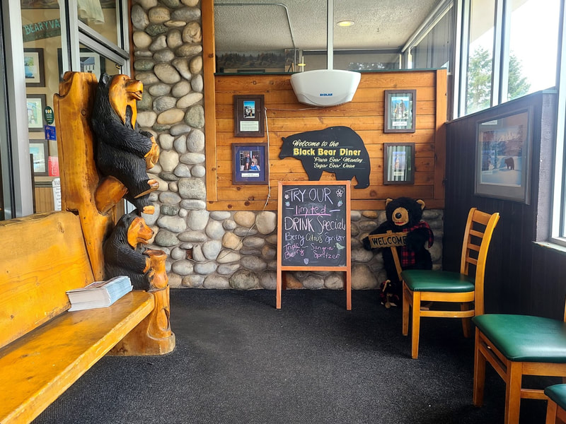
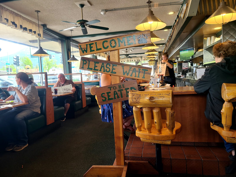
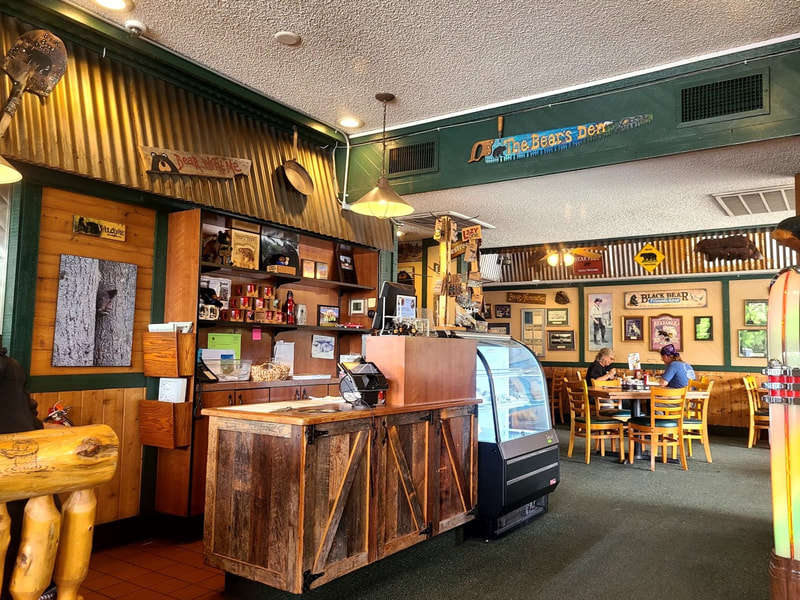
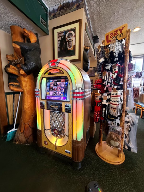
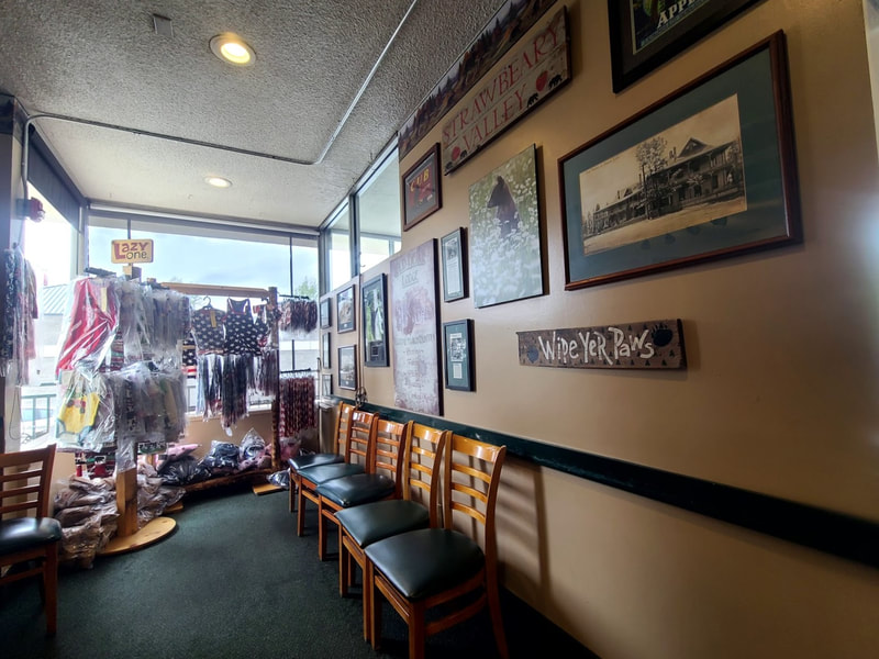
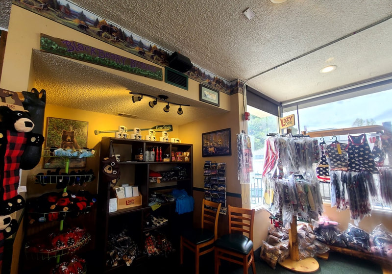
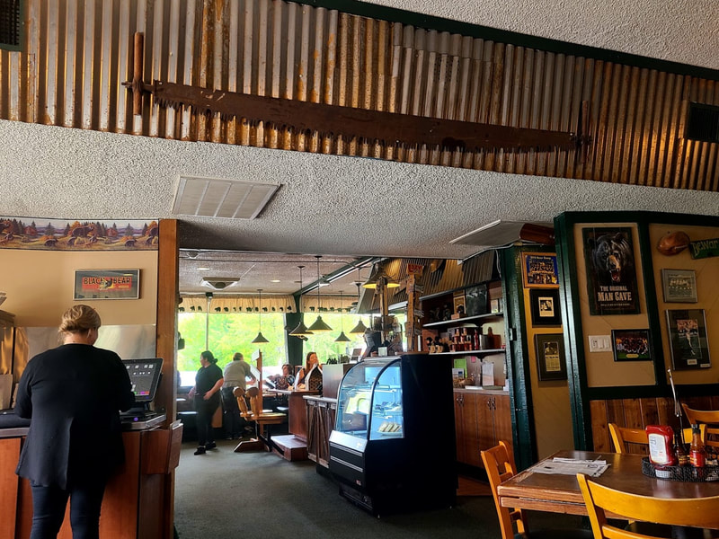
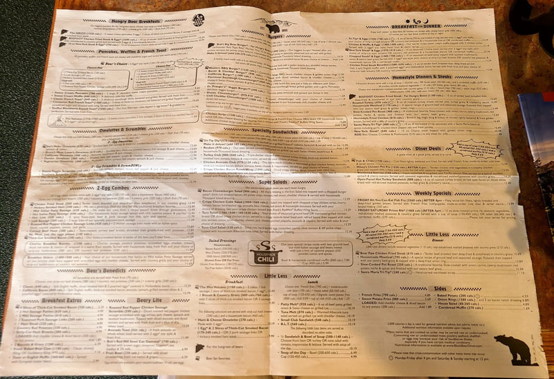
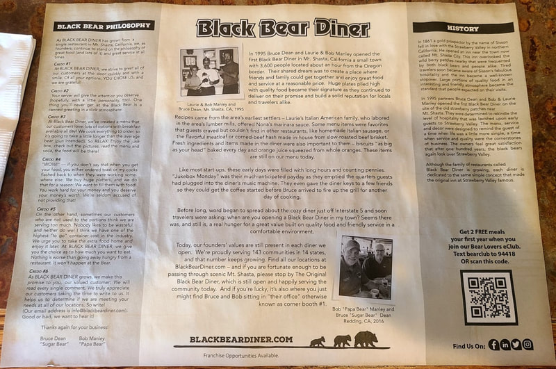
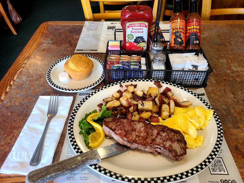
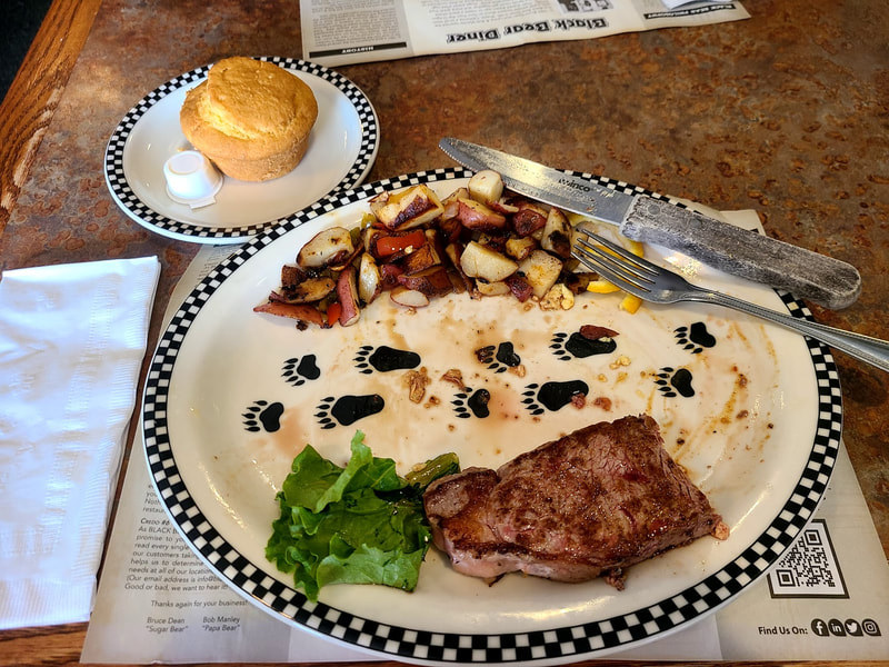
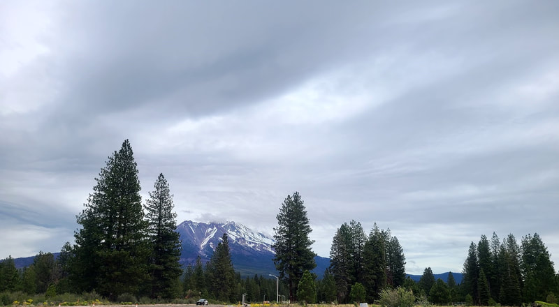
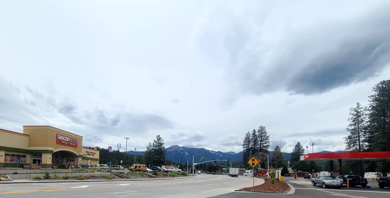
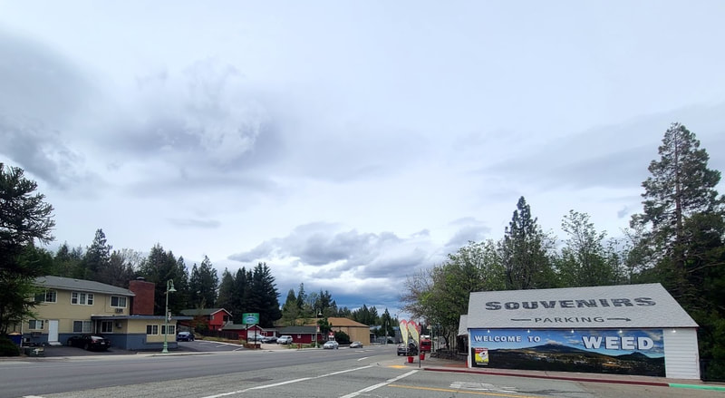
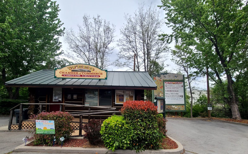
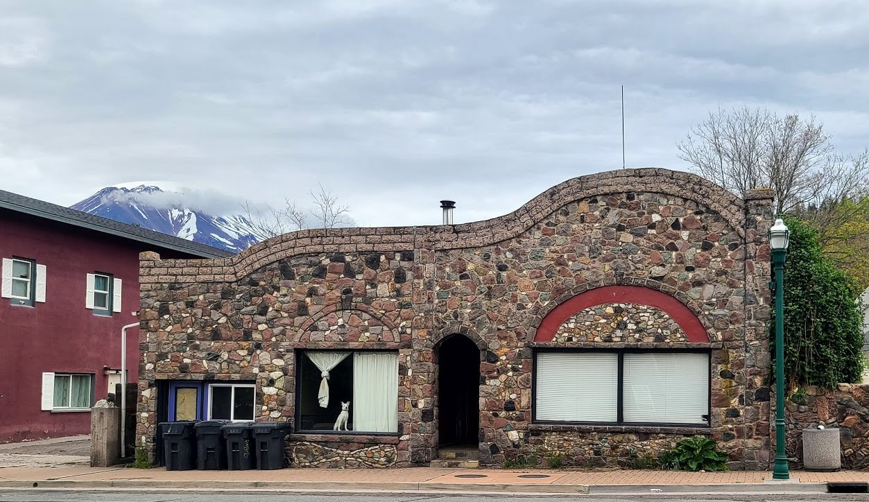
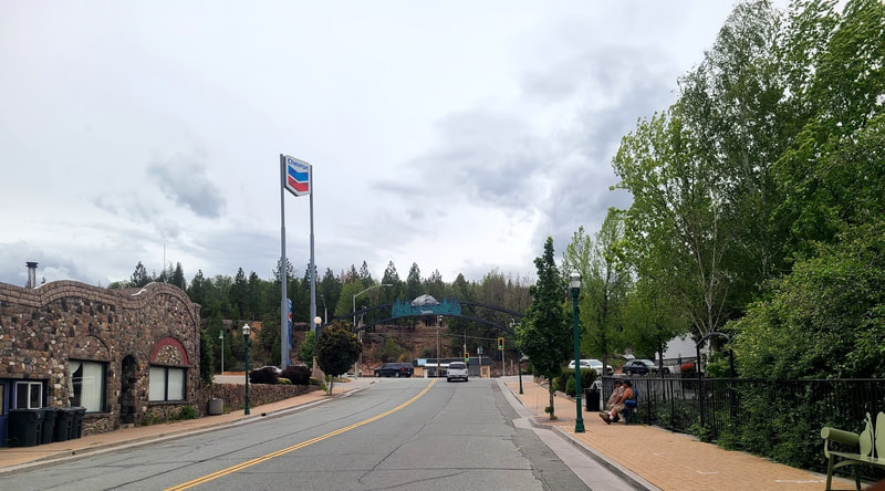
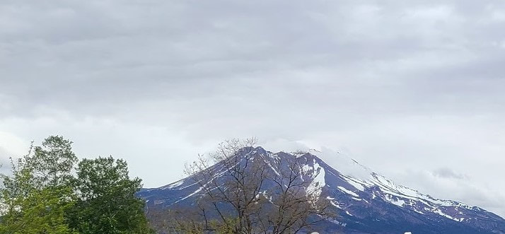
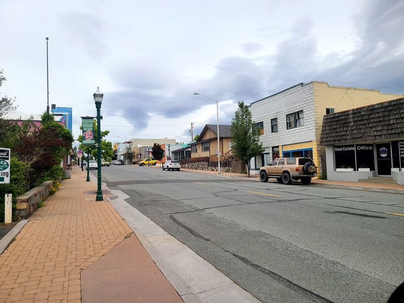
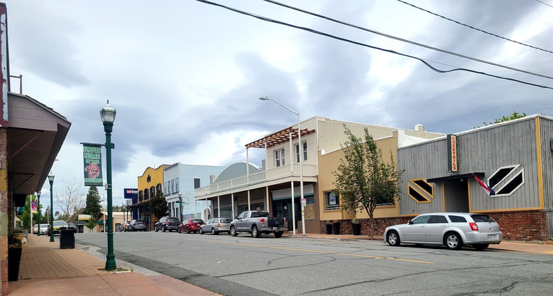
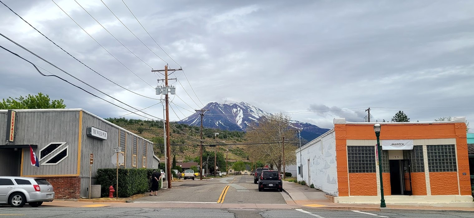
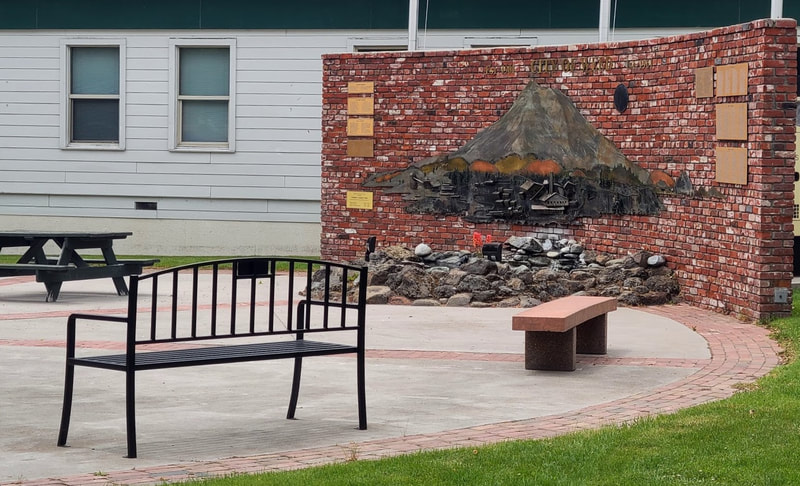
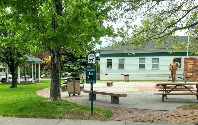
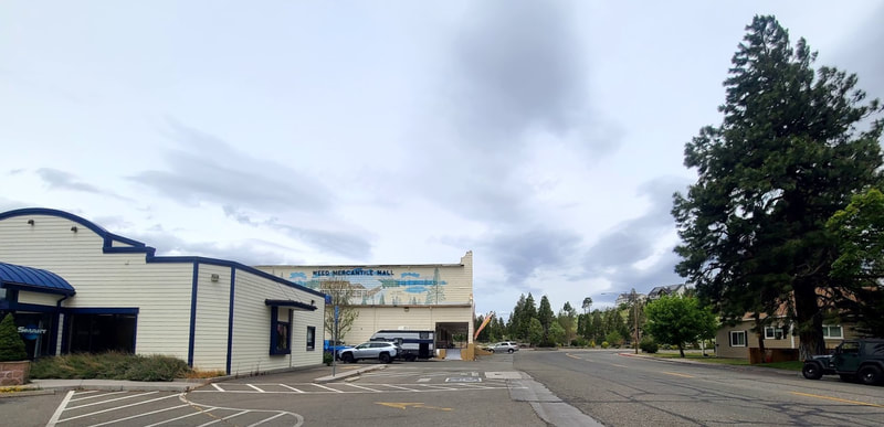
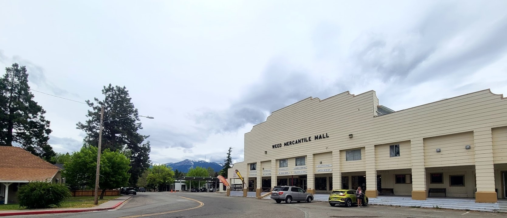
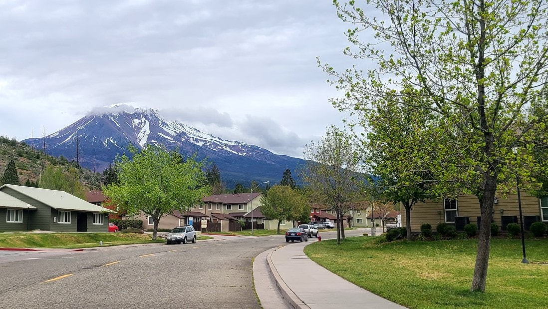
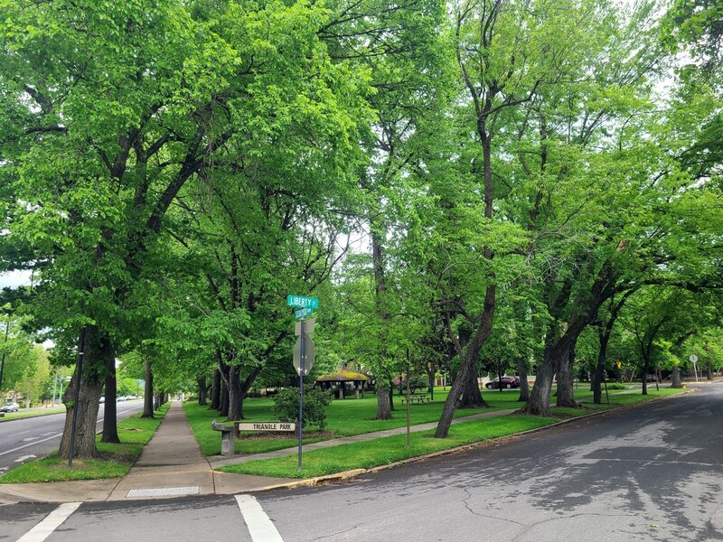
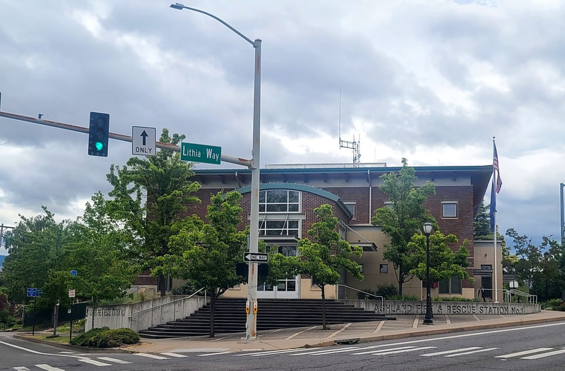
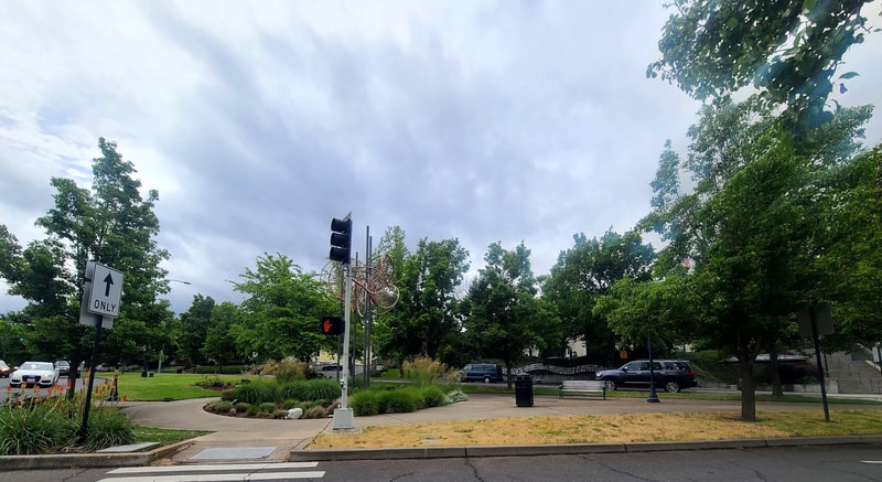
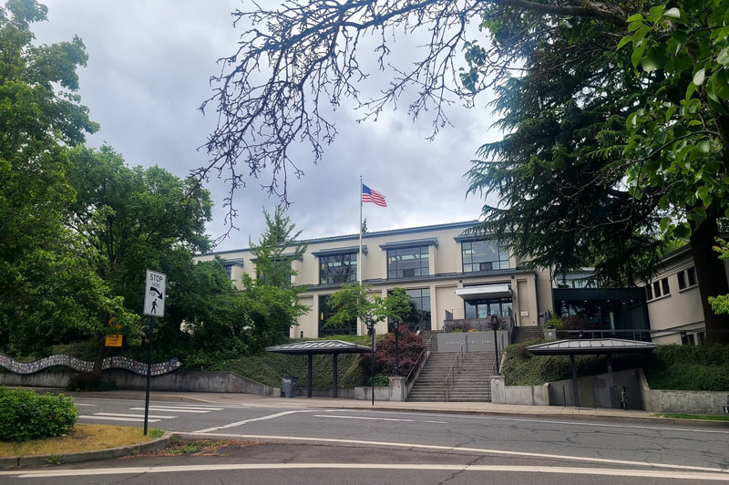
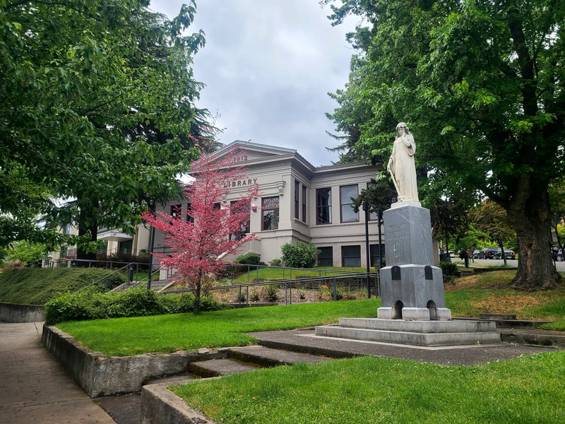
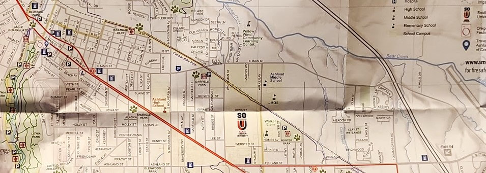
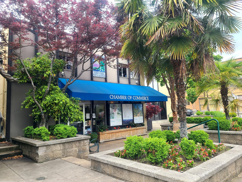
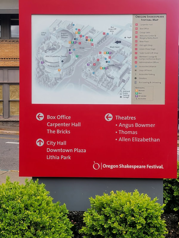
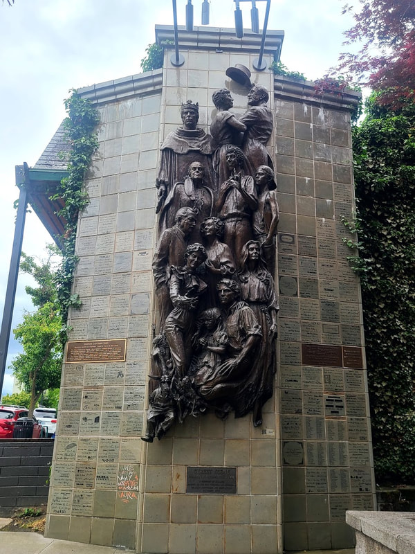
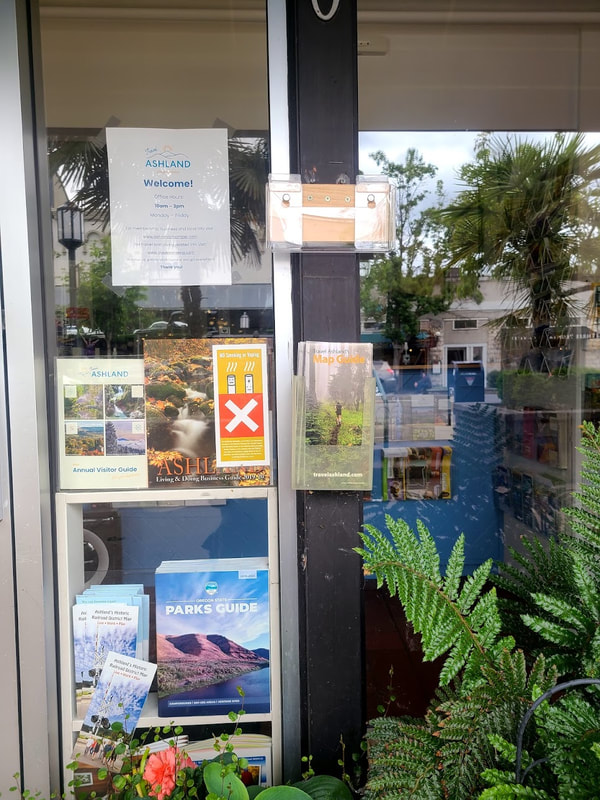
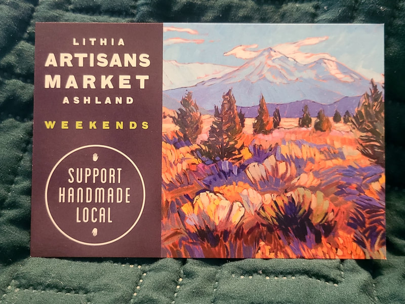
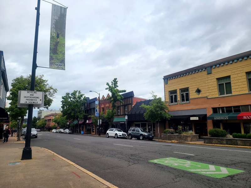
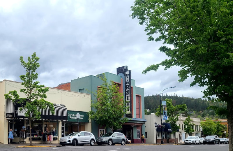
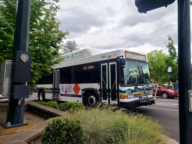
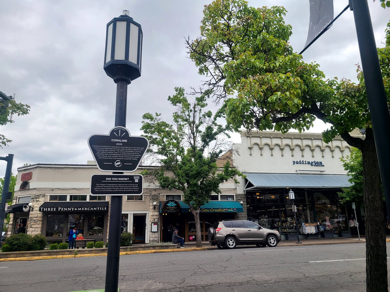
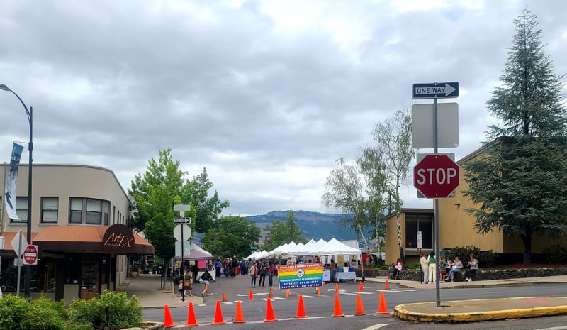
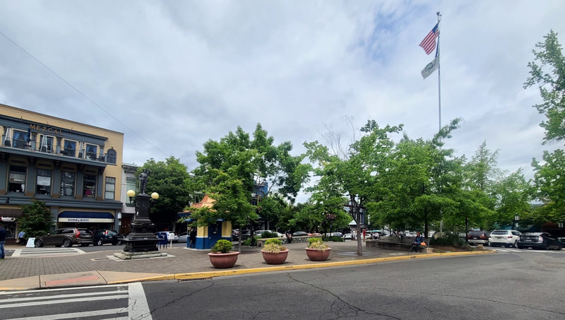
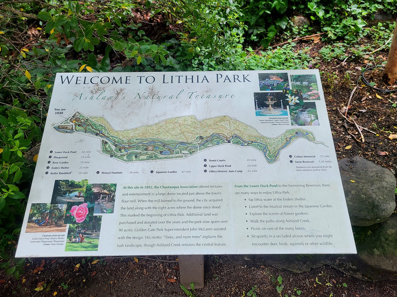
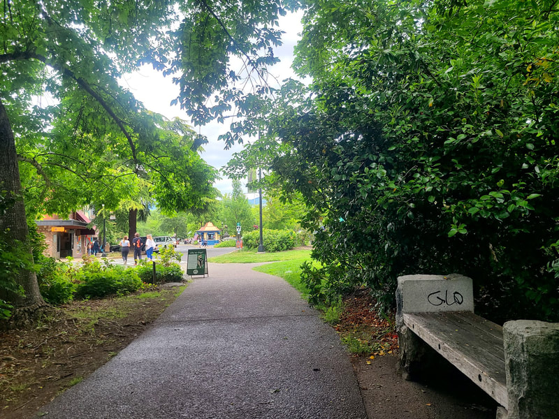
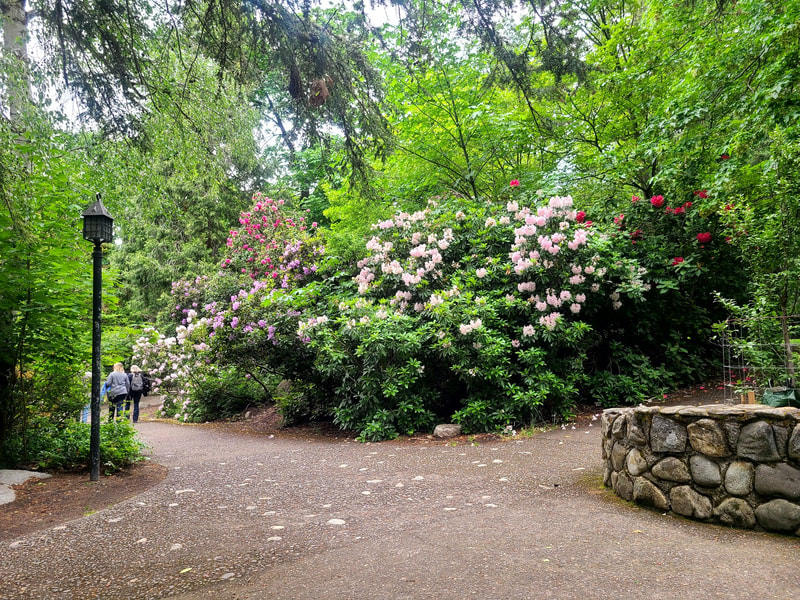
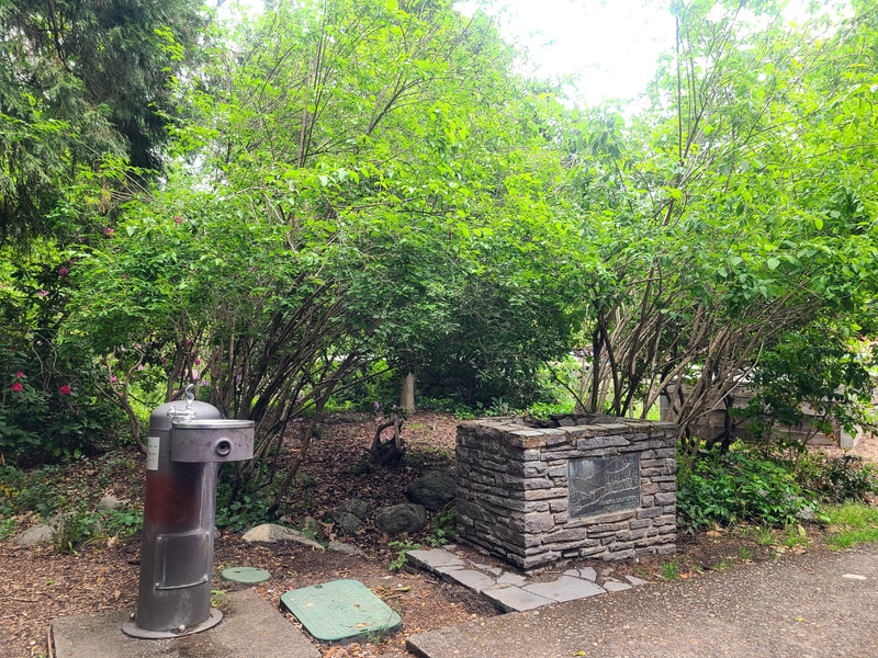
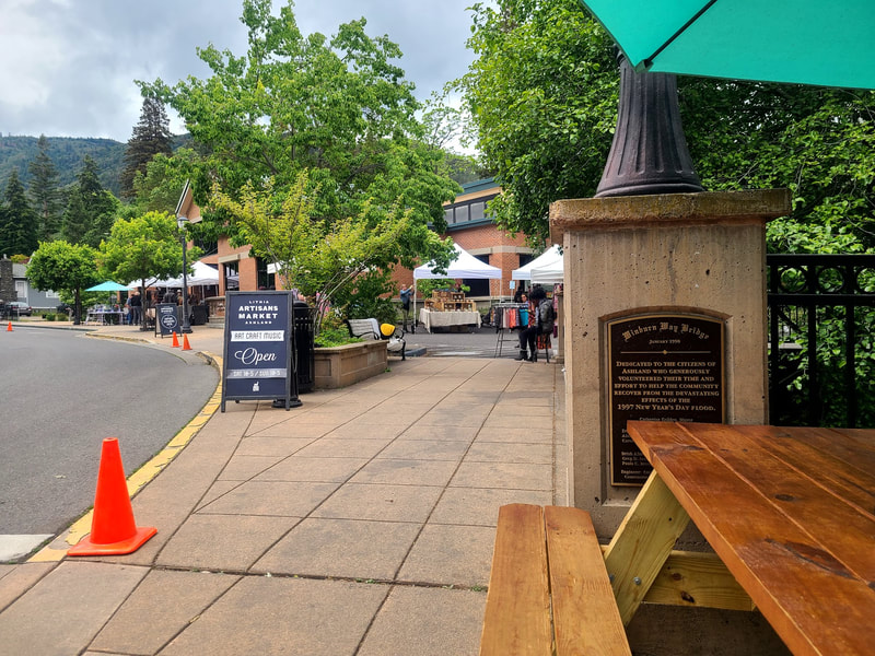
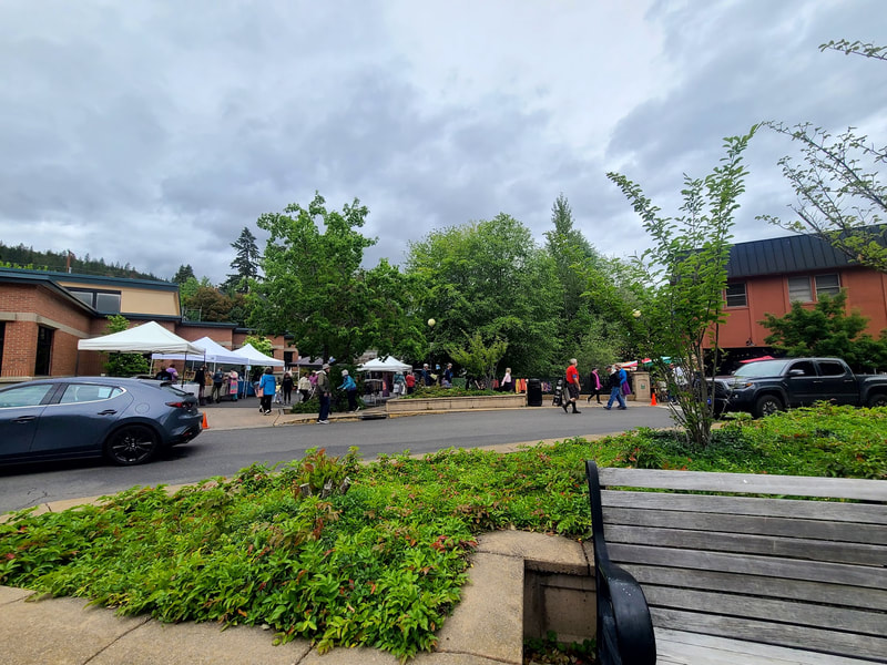
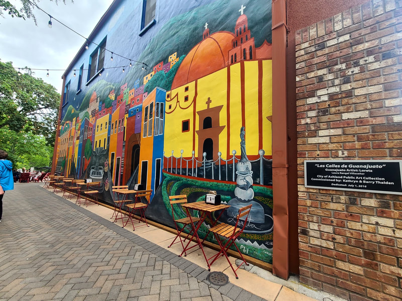
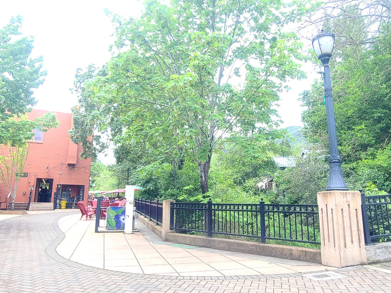
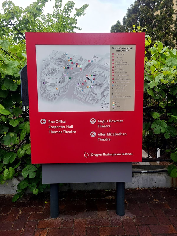
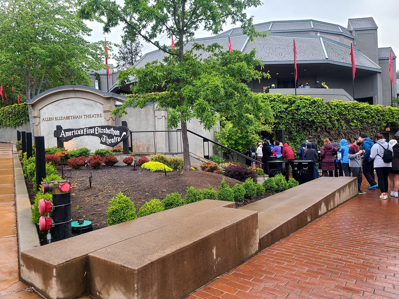
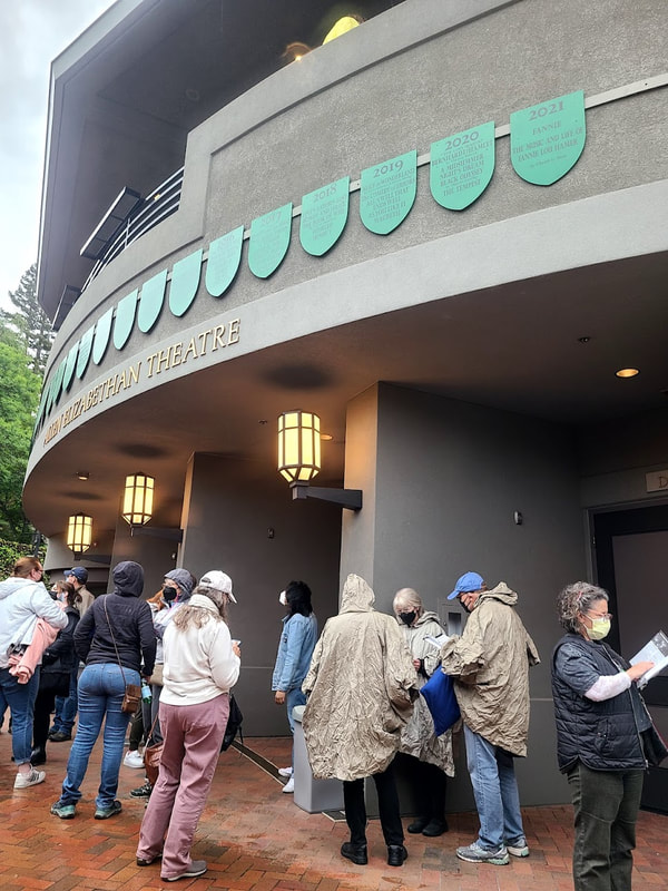
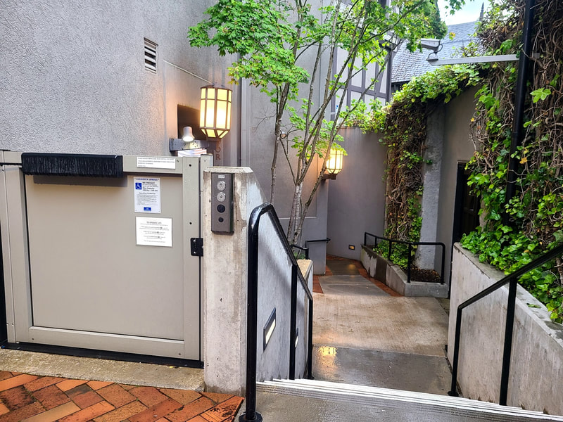
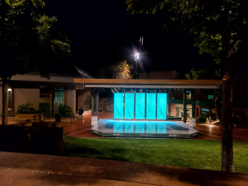
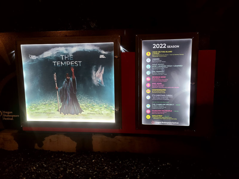
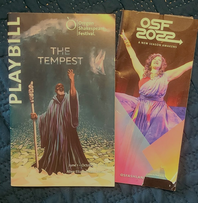
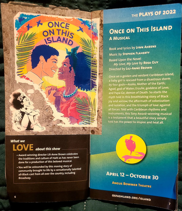
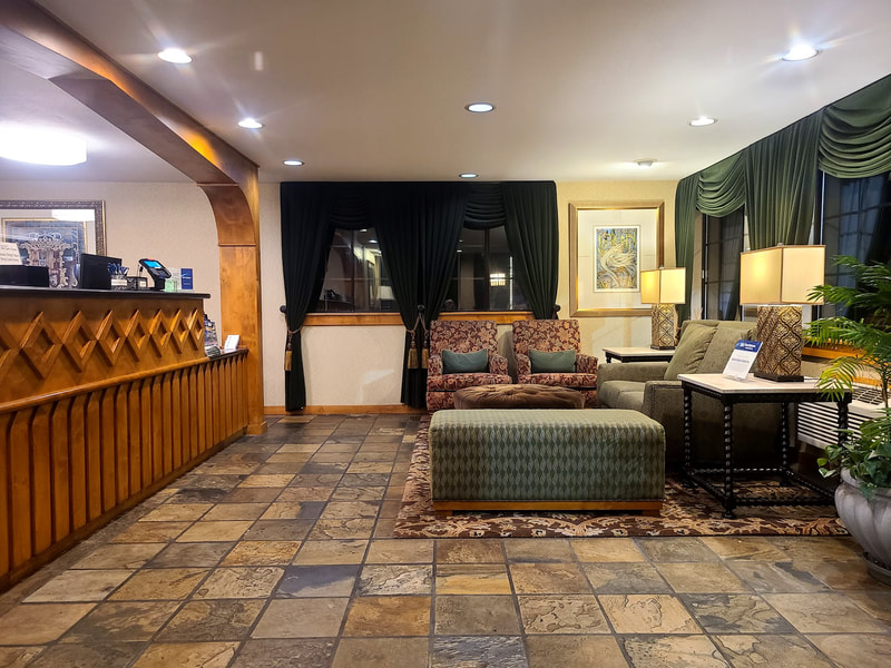
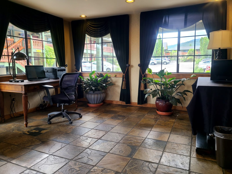
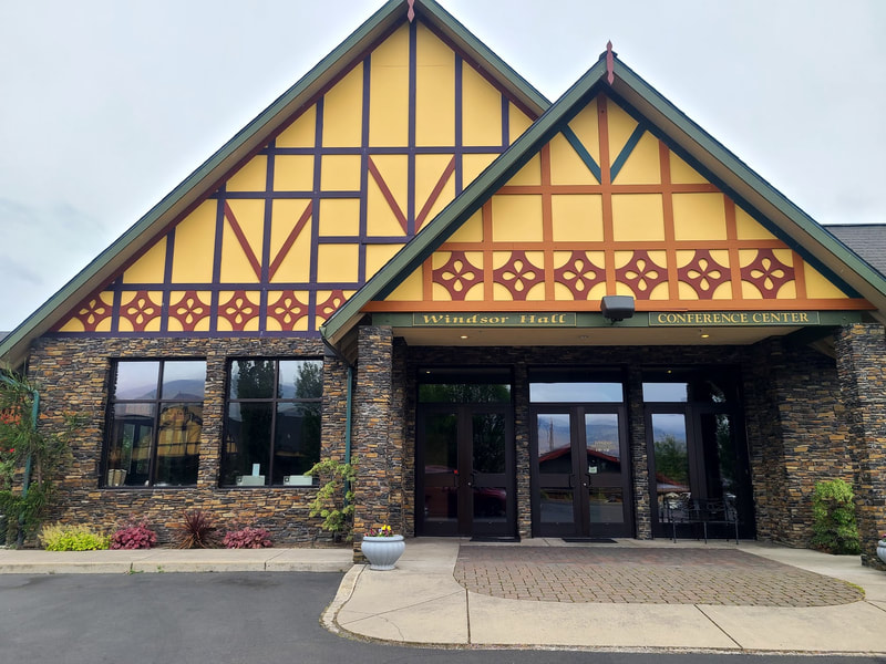
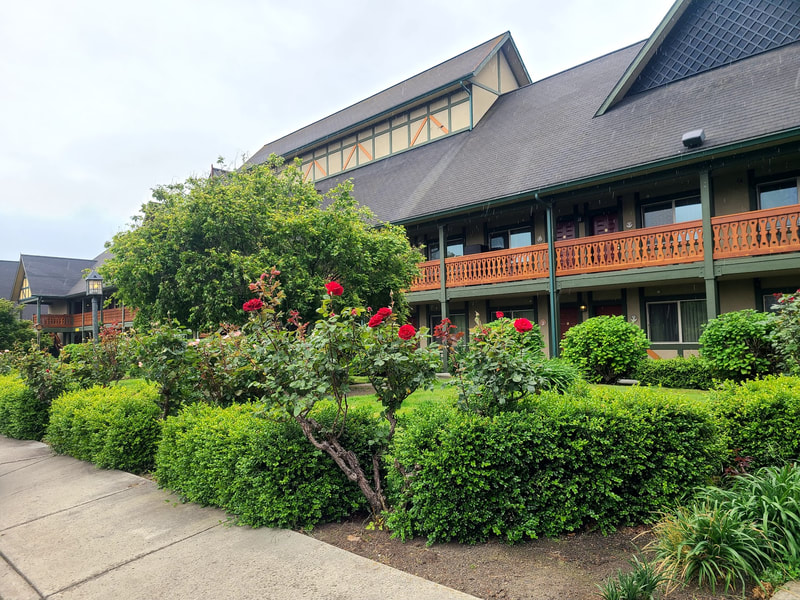
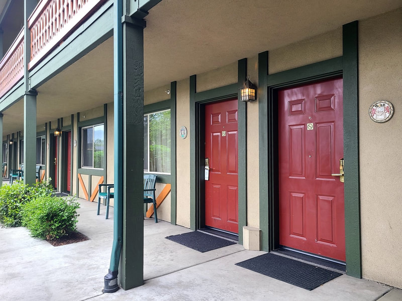
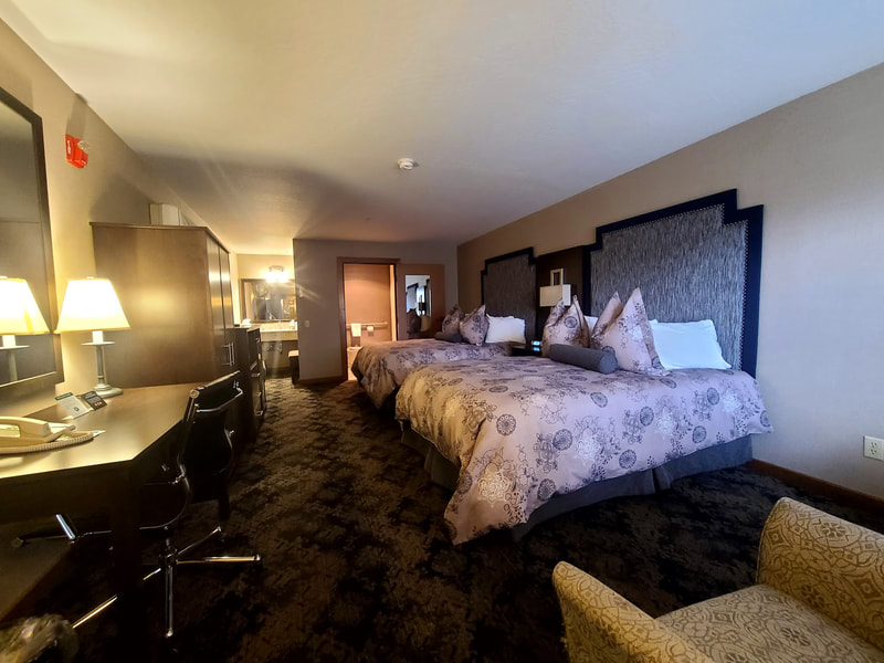
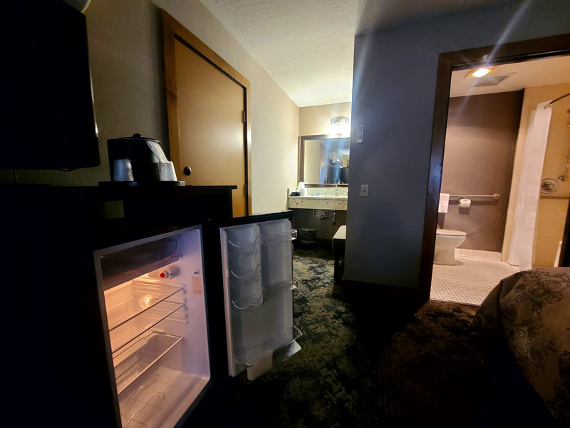
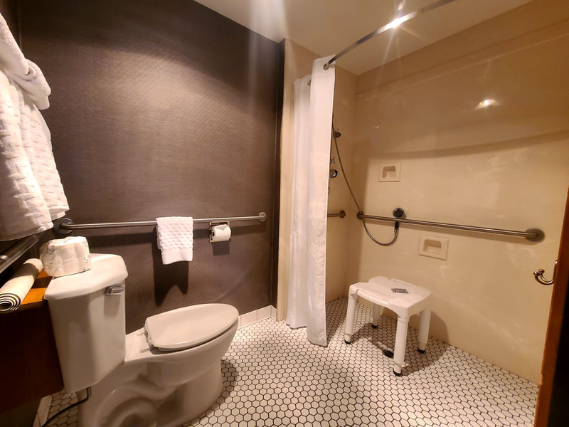
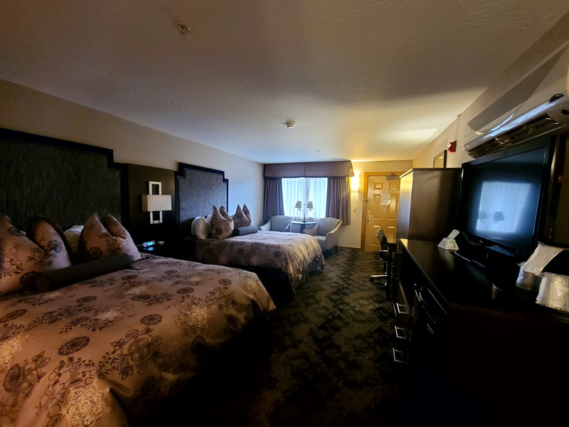
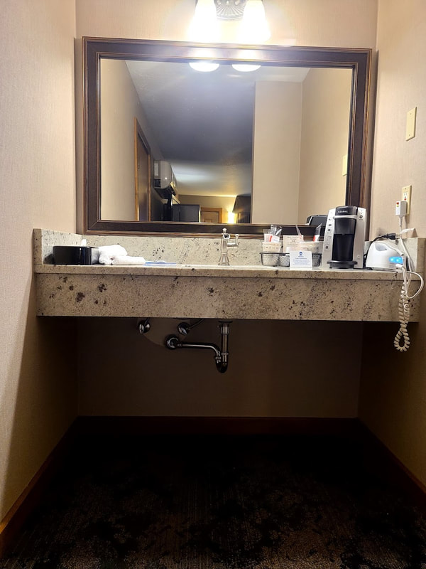
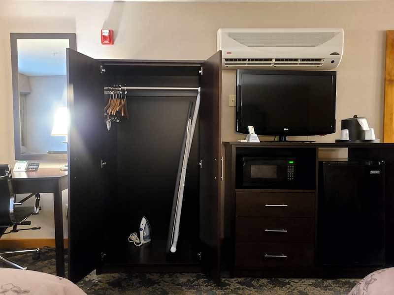
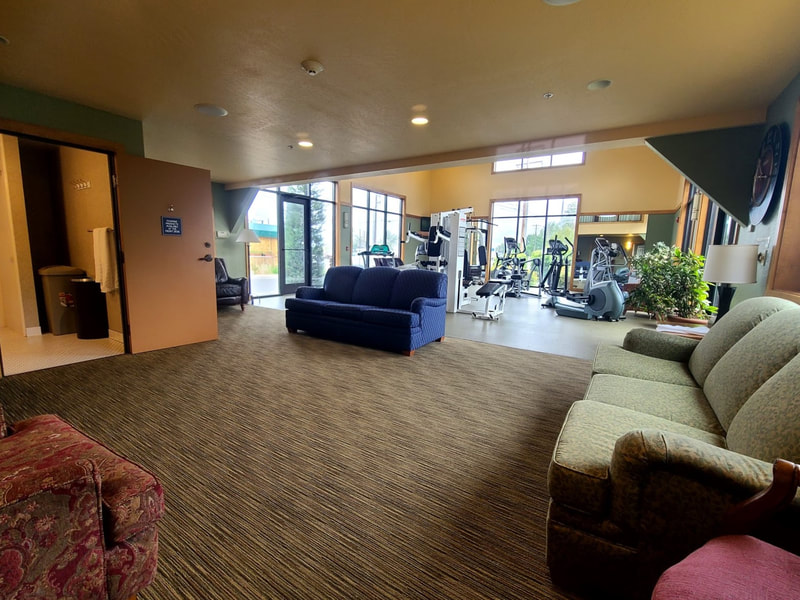
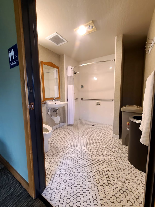
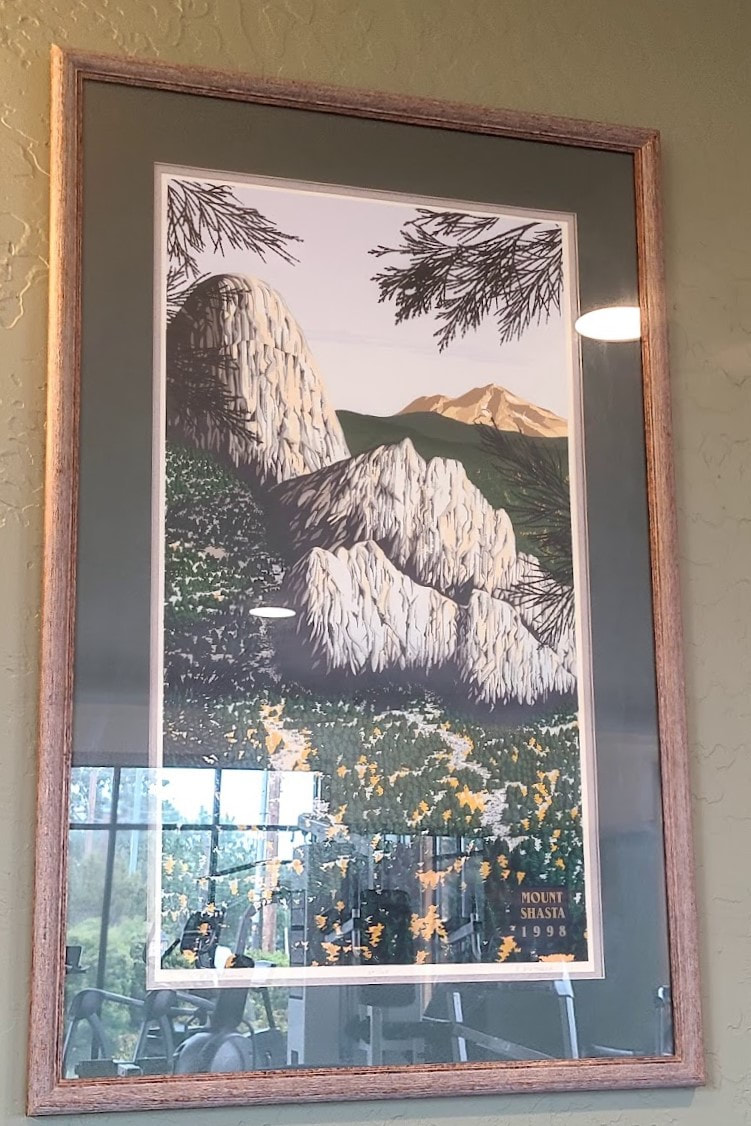
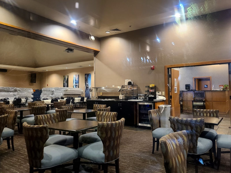
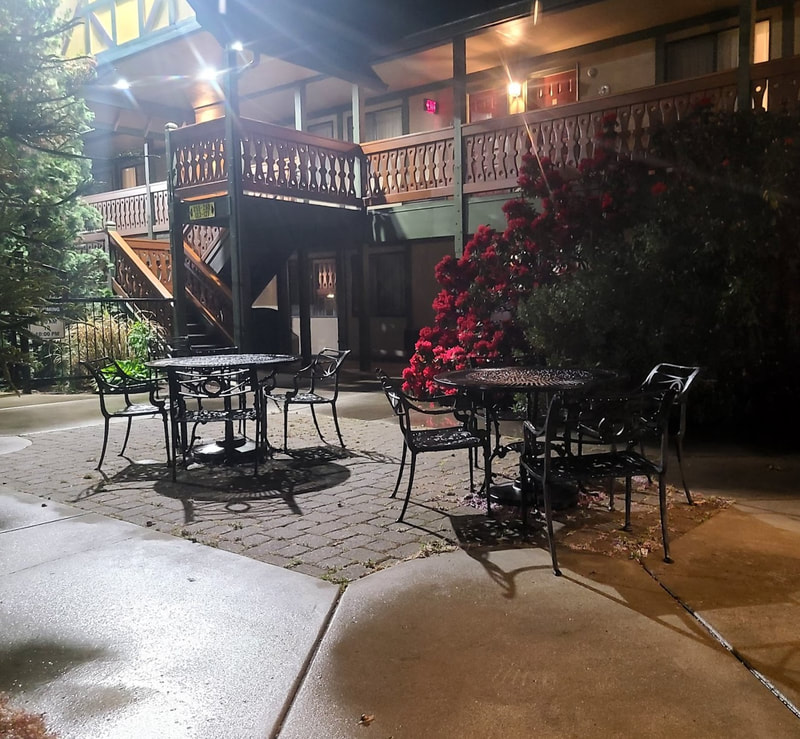
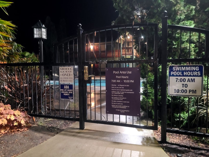
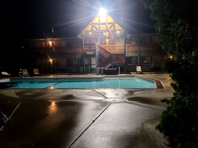
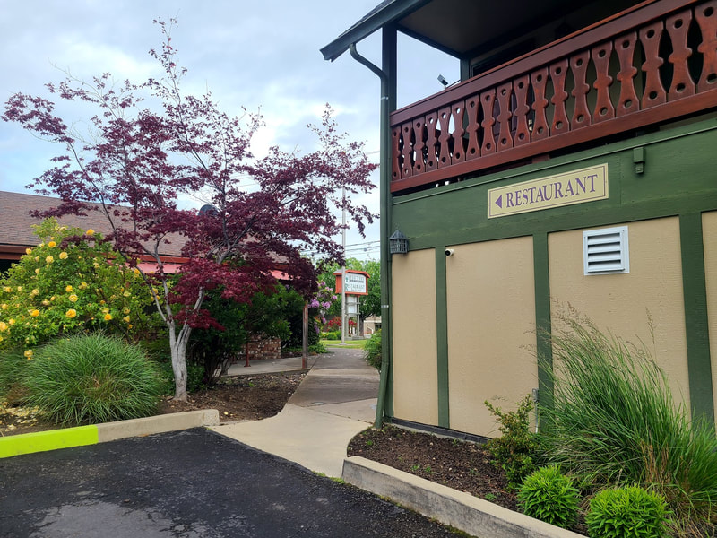
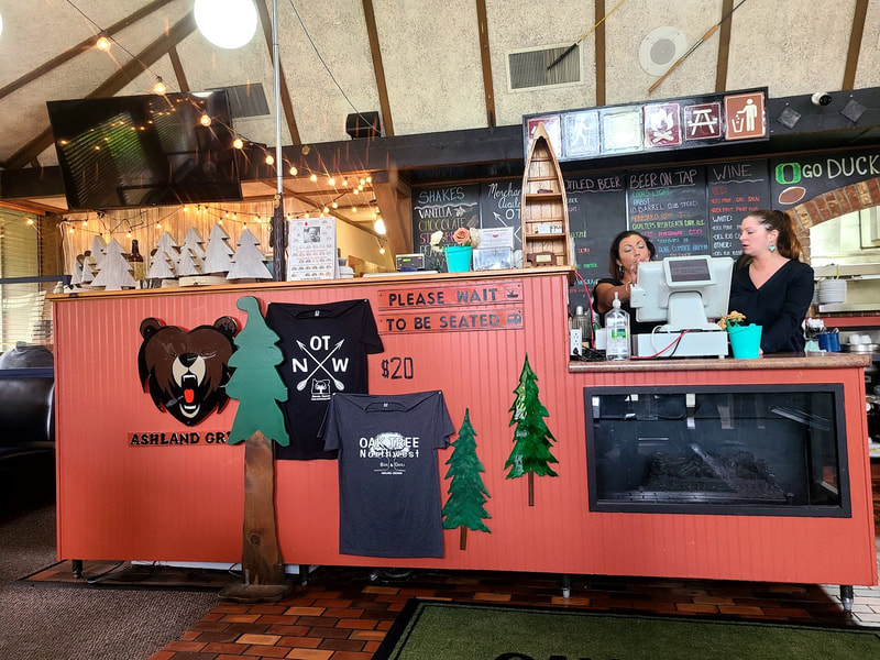
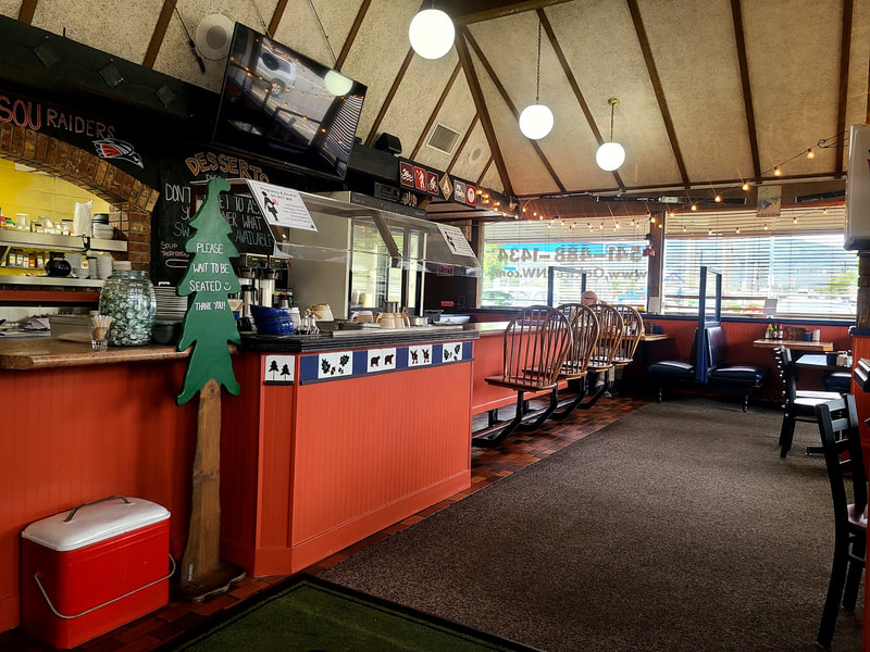
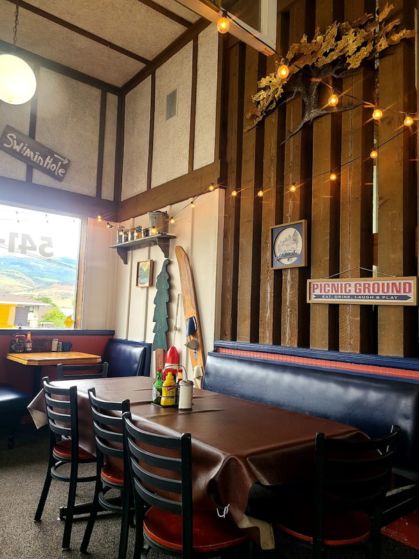
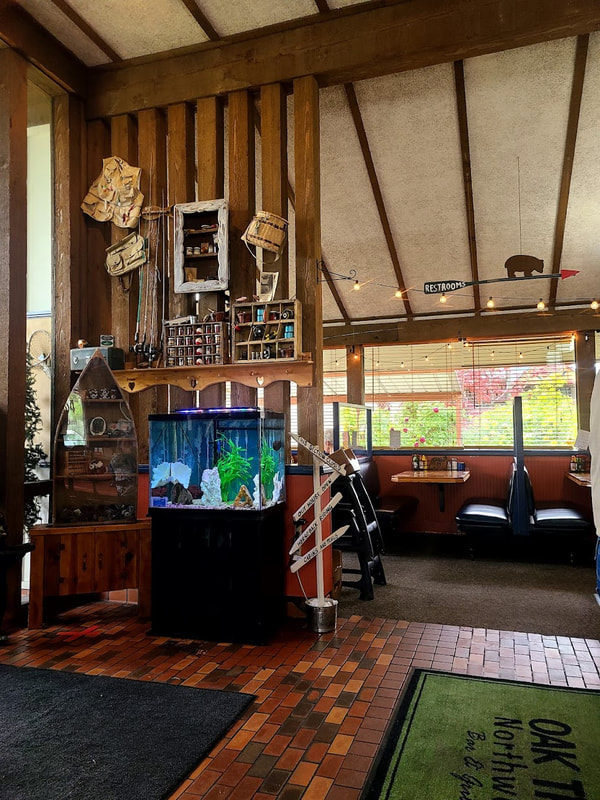
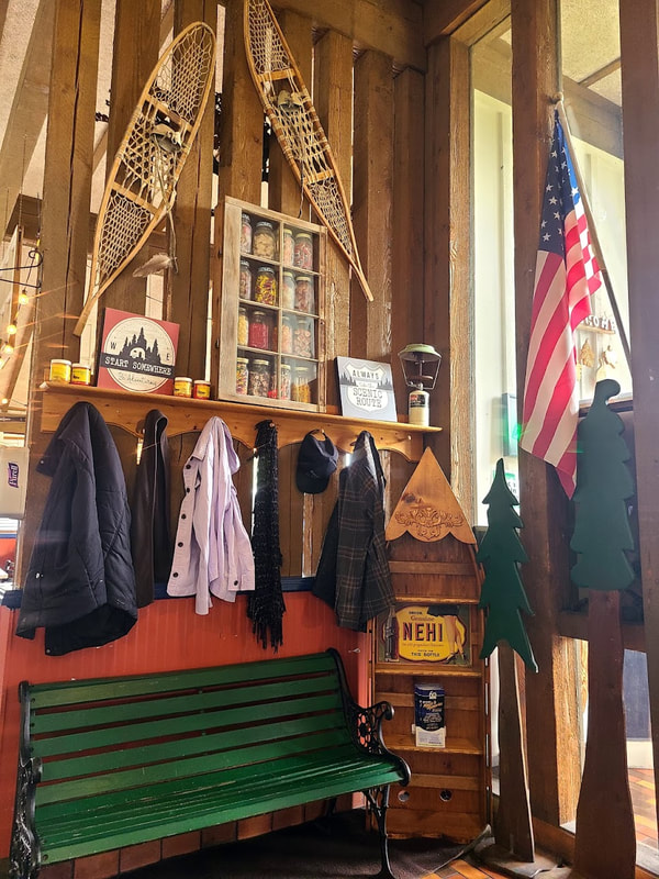
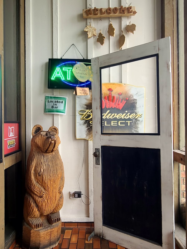
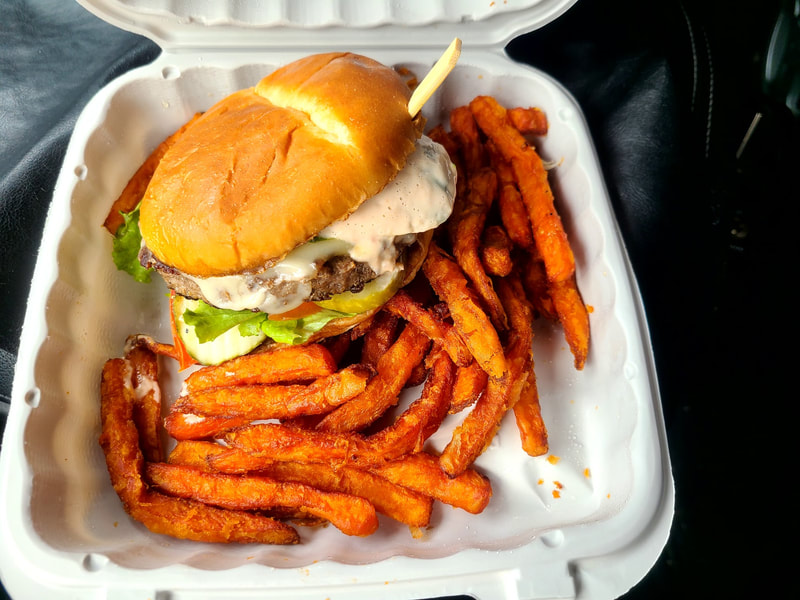
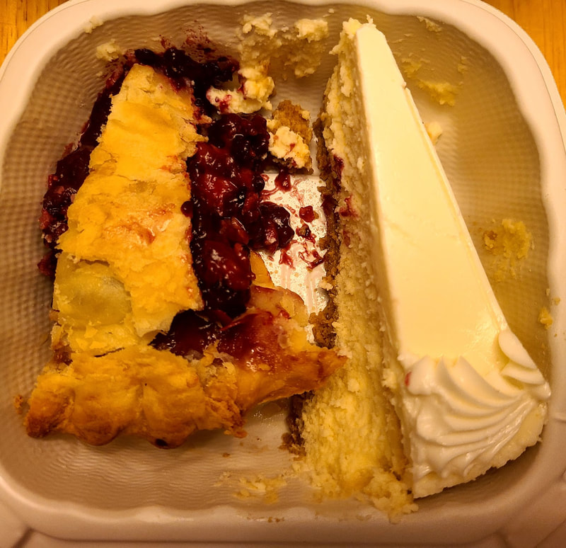
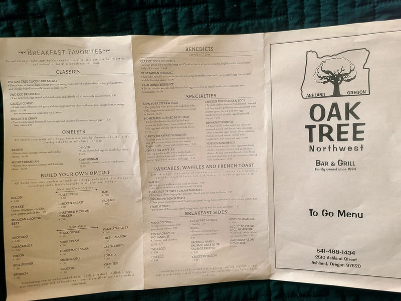
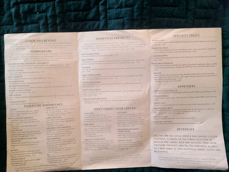
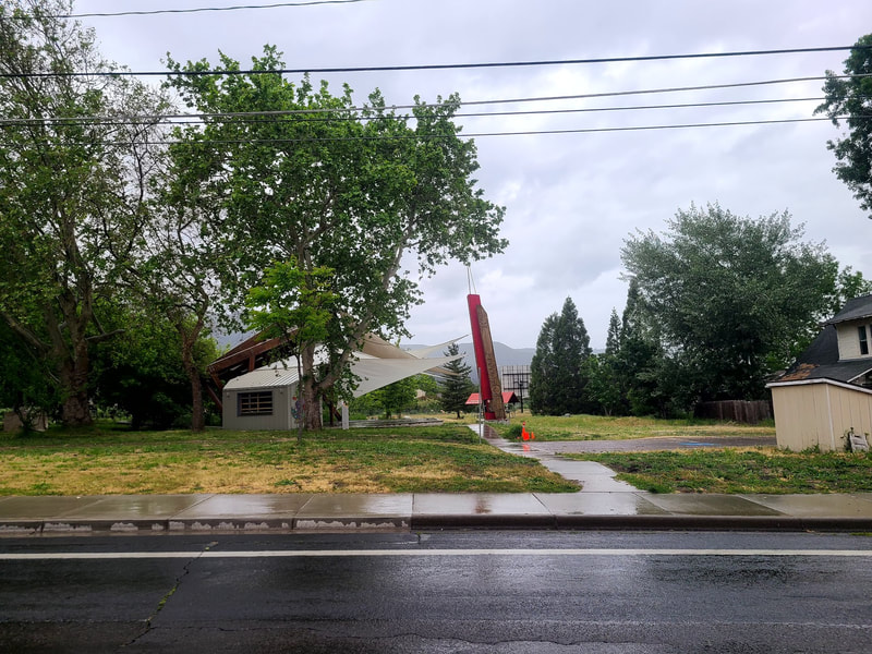
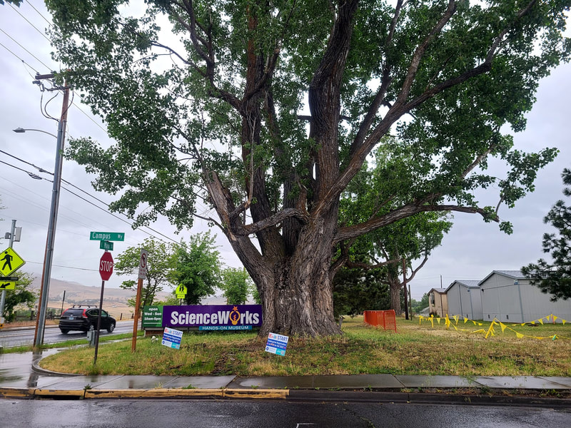
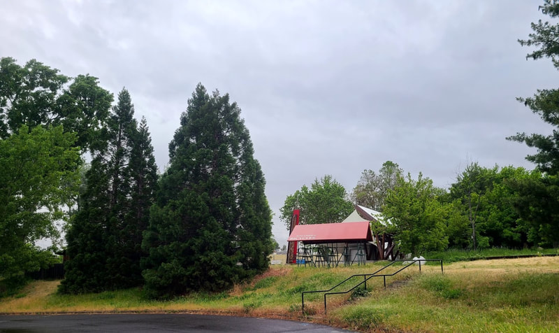
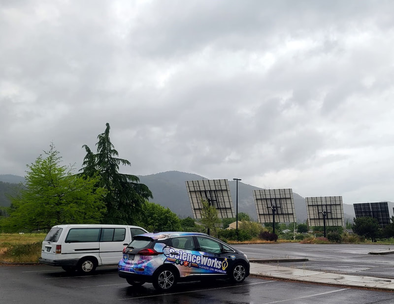
As the fires of 2021 caused havoc with my travel plans, in Klamath Falls I made some adjustments. I found it wasn't that far to drive from there down Hwy 97 to Mt Shasta. Along the way is the terrific Mt. Shasta Vista Point, but as suspected, it was shrouded in smoke. I promised myself I would go see Mt Shasta in 2022 after the clearing of winter snows and before the fire season. To check out Hwy 97 from Klamath Falls OR toward Weed CA, scroll down at The first actual Shakespearean play of the 2022 Oregon Shakespeare Festival season was "The Tempest", June 3, in Ashland OR. Since I was traveling that far, I decided to take in the play as well. I had to get a COVID test (beside my vaccinations) to go to the Shakespeare Festival, so got a late start on Thurs June 2. Then there were other delays. As I came south into the Rogue Valley of Medford OR, I was delighted with the unexpected prospect of Mt McLoughlin. But not being familiar with the area, I couldn't easily find a place to get a good shot of it. I was concerned about getting to Mt Shasta before too late in the evening to spend much time exploring. When I returned north the rain obscured Mt McLouglin. Spring of 2022 was so rainy in Portland metro, I began to worry whether Mt Shasta would be hidden in the clouds. But I was able to get some reasonable photos, even though much of the picturesque snow on the mountain had already melted. In the photos below the temp was 81 degrees at 7pm along I-5 near Yreka CA. City of Mt Shasta CA The town of Mt Shasta is a pretty quaint touristy place, obviously catering to skiers (beside summer recreation), so the sidewalks are not that smooth for rolling along in a wheelchair, and there are RR tracks going through town. Once again I was grateful for an electric chair. I checked into my hotel, and next morning after breakfast toodled around town. Seems like there were plenty of Asian Indian and New Age type shops/restaurants, beside the usual. I forgot my socks, and got some at Ace Hardware. There's a grocery in town and at least a couple pharmacies, quite a few gas stations, etc. if you are in need of anything. Coming into town from the north I detoured to see Mt Shasta City Park. Best Western Plus Tree House, Mt Shasta CA--Lake St just as you come off or on I-5, exit 738 On my previous trip I had noted this hotel boasted mountain views, and I was determined to get one of those rooms. I had to overlook the rooftops from my room, but I could crop those with the processor of my mind. The hotel has some history and lodge-like decor, has been updated to accommodate wheelchairs (though some of the ramps could be challenging for a manual wheelchair without extra power), it's close enough to downtown I could wheel up the street. No complimentary breakfast, restaurant on-site and another across the street. Not far to options for eating. The original Black Bear Diner, 401 W Lake St, Mt Shasta, CA 96067 Weed CA--at the intersection of Hwy 97 and I-5; exits 745 (Vista Drive) and 747 (Main St) off I-5 About 10 mi north of Mt Shasta is Weed CA, with more great views of Mt Shasta, services, and history. Vista Drive is newer development. More historic is Main Street and its vicinity. 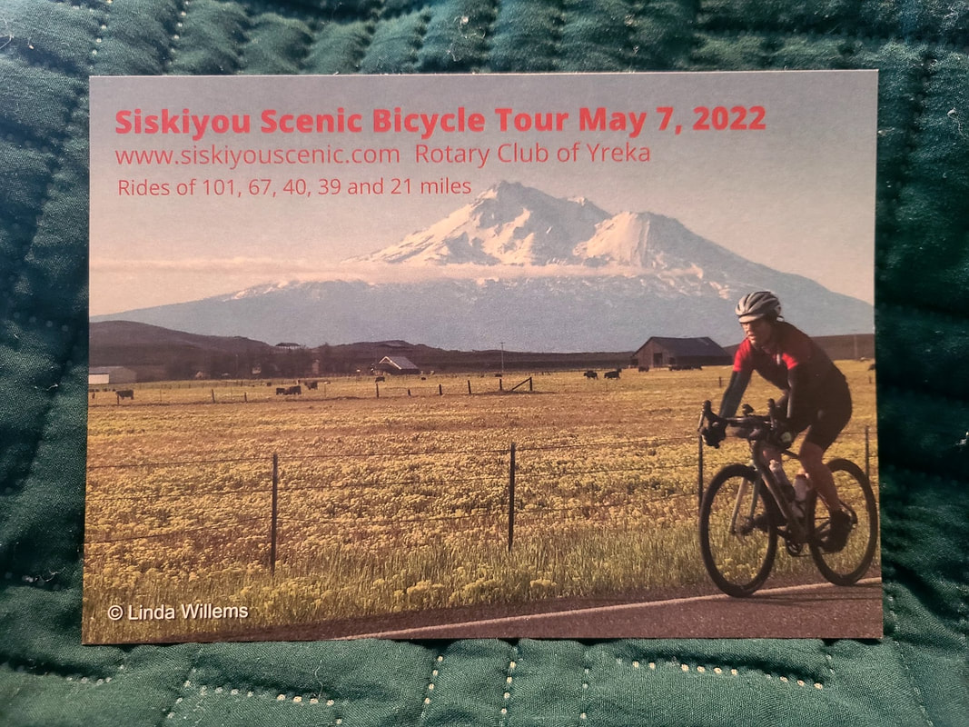 I didn't take the time to explore Yreka CA on my way north from Mt Shasta CA to Ashland OR, though I wondered if I'd be sorry as I passed by, especially the historic part of town. But you just can't do everything! Nevertheless, I had picked up a card about the Siskiyou Scenic Bicycle Tour that was held in 2022 by the Yreka Rotary Club--drawn to the picture, and thinking they probably have it yearly. The drive north from Mt Shasta CA to Ashland OR had its interests. The Klamath River meets I-5 at about Hornbrook CA, they travel together for a bit, then the Klamath heads west and southwest with Hwy 96 (Klamath River Hwy), and suddenly north again to meet the Pacific Ocean at Klamath CA and the Redwoods. I passed by a hay shelter proclaiming the State of Jefferson just north of Grenada CA. Almost precisely at the CA/OR border the golden browns of the "Golden State" gave way to the forest green timber of Oregon, as the highway climbs up the Siskiyou Mountains to the pass (4 mi north of CA, 4310' above sea level). The lupines along the way were bloomin' beautiful. I noted Canadian truckers in Southern Oregon--I hadn't realized they drove that far south. Ashland OR--77 mi north of Mt Shasta CA The Welcome Center Rest Area off I-5 northbound was unexpected, so sadly I missed it. It's 12 mi north of the CA border. On the map it looks like it could be accessed by other means, but I didn't have the chance to pursue that end. I stayed at the Best Western Windsor Inn, which is an easy off/on I-5, and a quaint and comfortable place to stay. Take exit 14 off I-5 to Ashland St. The BW is to the right (also Ashland Hills Hotel & Suites; use the same exit for Holiday Inn Express & Suites). When you are ready to experience downtown Ashland you can go the other way on Ashland St and take it to Siskiyou Blvd. Siskiyou Blvd is a divided street, northbound on one side and southbound on the other. Traveling north on Siskiyou I passed Southern Oregon University, then Triangle Park (both on the left). Northbound Siskiyou becomes Lithia Way, and Main Street makes another of its mysterious moves by turning east where it butts into southbound Siskiyou. There's a little triangular plaza at that juncture--Ashland has a few triangle-shaped parks/plazas. Ashland Fire & Rescue is on the Lithia Way corner and the Library is on the south going side. Continuing north on Lithia Way, turn right on Pioneer St to access 4 hour public parking. I suggest taking a walk or roll the opposite way on Pioneer Street to Main Street. On Main and Pioneer is the Chamber of Commerce plaza with info, art, maps, & directions. From there you can decide whether to walk/roll Main Street shops, head up the Pioneer St hill to the Oregon Shakespeare Festival, or walk opposing traffic toward the Saturday Market on Oak Street, Downtown Plaza (a triangle that Main St encircles), and at the tip where Main St meets Winburn Way is one end of the lovely Lithia Park (100 acres of beauty along Ashland Creek with accessible paths, ponds, playground, picnics, restroom, memorial, bandshell, tennis courts, etc.). Across from that end of Lithia Park is the Lithia Artisans Market (weekends 10-5 Mar-Dec), Calle Guanajuato with its mural, restaurants, and park (also along Ashland Creek). Across the main part of Main St from Calle Guanajuato Park is Bluebird Park (which has stairs down). Note: Siskiyou Blvd and the Main St extension of it are also known as Hwy 99. Caution: the steps up to the Library are a clue that from that side of Main St west is a strenuous uphill push. Lithia Park & Calle Guanajuato Park--not to be missed if you are in Ashland OR Oregon Shakespeare Festival, Ashland OR I called and got specific instructions for handicapped parking. When I got in line they were so quick to bring me in that I didn't have time to get daylight pictures of the plaza. No photos were allowed in the theater even before the play started. It was a rather rainy night I saw "The Tempest", seated under the balcony feeling bad for the actors. I brought something for my legs, however I should have dressed a little more warmly. The company put on a good production. Only 3 of the actors seemed like they were giving speeches, 2 of those with very limited parts. I wished I could have seen "Once on This Island" (Haitian culture) as well, but because of COVID it would only have been like a concert, and I needed to be on the road anyway. Best Western Windsor Inn, 2520 Ashland St, Ashland, OR 97520 Quaint architecture, landscaping, and decor befitting the Shakespeare Festival. Staff was friendly and helpful. I reserved a 2 queen ADA room. I did have to have a guy close the curtains, which were behind furniture, take out a couple extra non-essential pieces (ottomans) that were blocking access to the sink, and set the hand-held shower within reach. The complimentary breakfast ended so early I missed it. I suspect they end it early to encourage patronage of the restaurant on-site. I was ok with that, except that I wanted to be able to review their complimentary breakfast. The ramp from the handy handicapped parking spot onto the sidewalk was a little tricky in a wheelchair because of complex slopes. During the busy season I understand parking is really at a premium. Oaktree Northwest Bar & Grill, 2510 Ashland St, Ashland, OR 97520, by BW Windsor Inn The decor and menu was so similar to the Black Bear Diner I had just eaten at that I asked if they were affiliated. No. If there's comfort food there surely must be comfort places to obtain it, and this was one of those. The food was good, too. I took it to go, as I had a long way to go. I treated myself to desserts, eating half and saving half, almost forgot to take a photo. Garfield Park and Science Works, Ashland OR As the Google Gal guided me on the scenic route from Ashland City to my hotel via Main St, I noticed these two intriguing places.
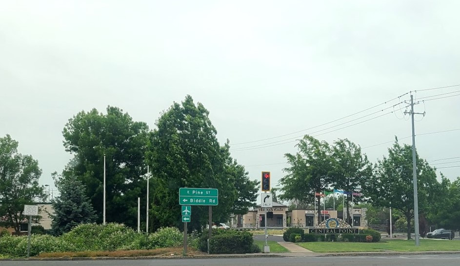
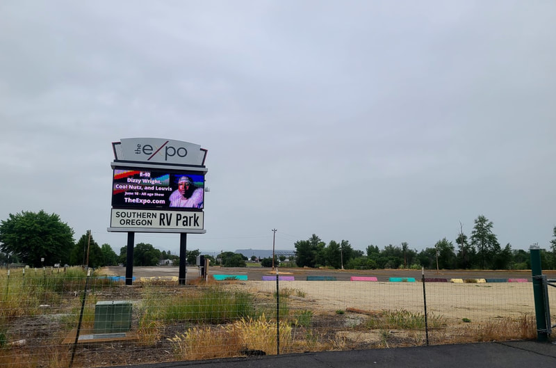
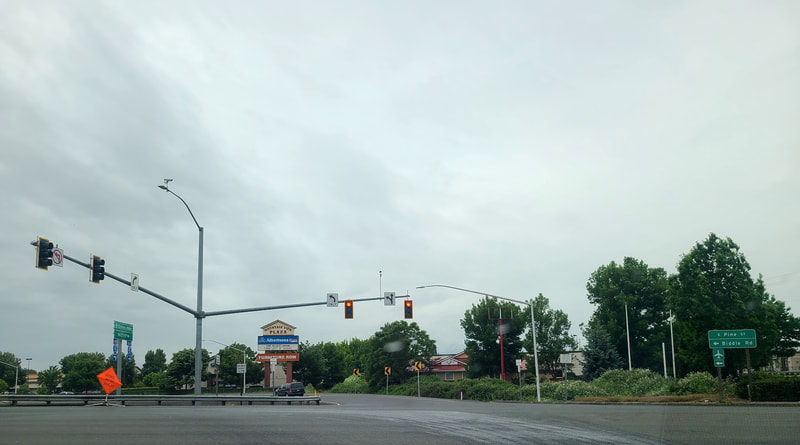
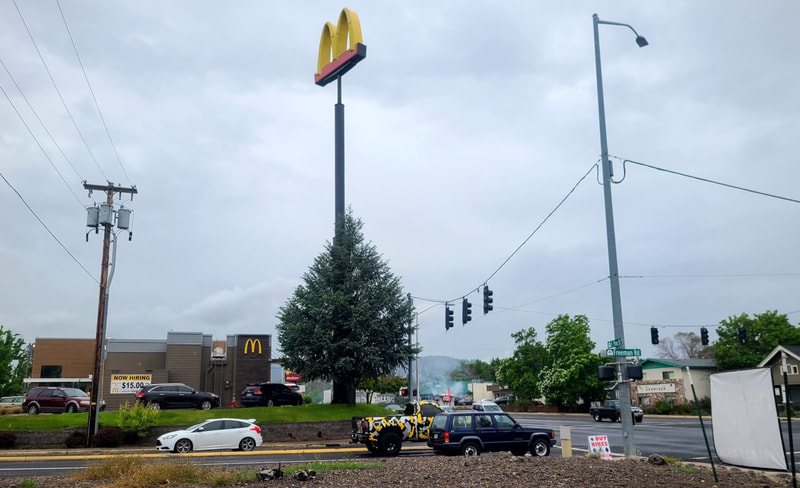
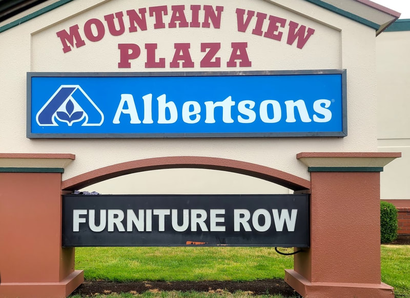
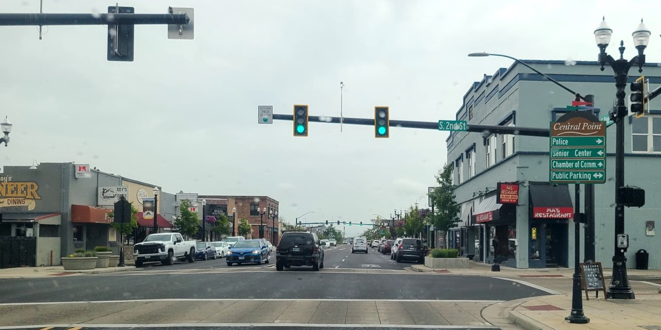
Central Point OR--exit 33, Pine St On the way home, north on I-5, I took exit 33 in an effort to scope out possible views of Mt McLoughlin, to the east. It was a rainy day, so of course I couldn't see Mt McLoughlin, but on the east side of I-5 is the Jackson County fairgrounds which has a large area free of trees, and on the west side is Mountain View Plaza--which seems promising. Other points of interest in the area on the map to the east: Agate Lake County Park, Southern Oregon Speedway, and Prescott Park. Central Point is at the north end of Medford (with all its amenities), so only 10-12 mi north of Ashland OR.
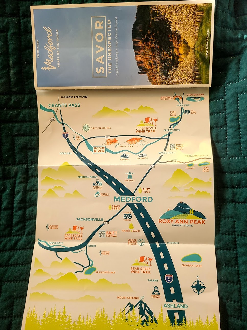
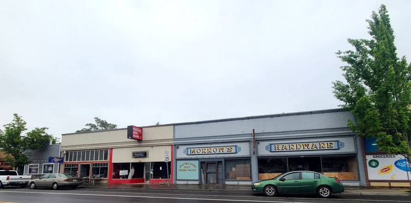
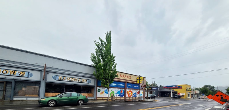
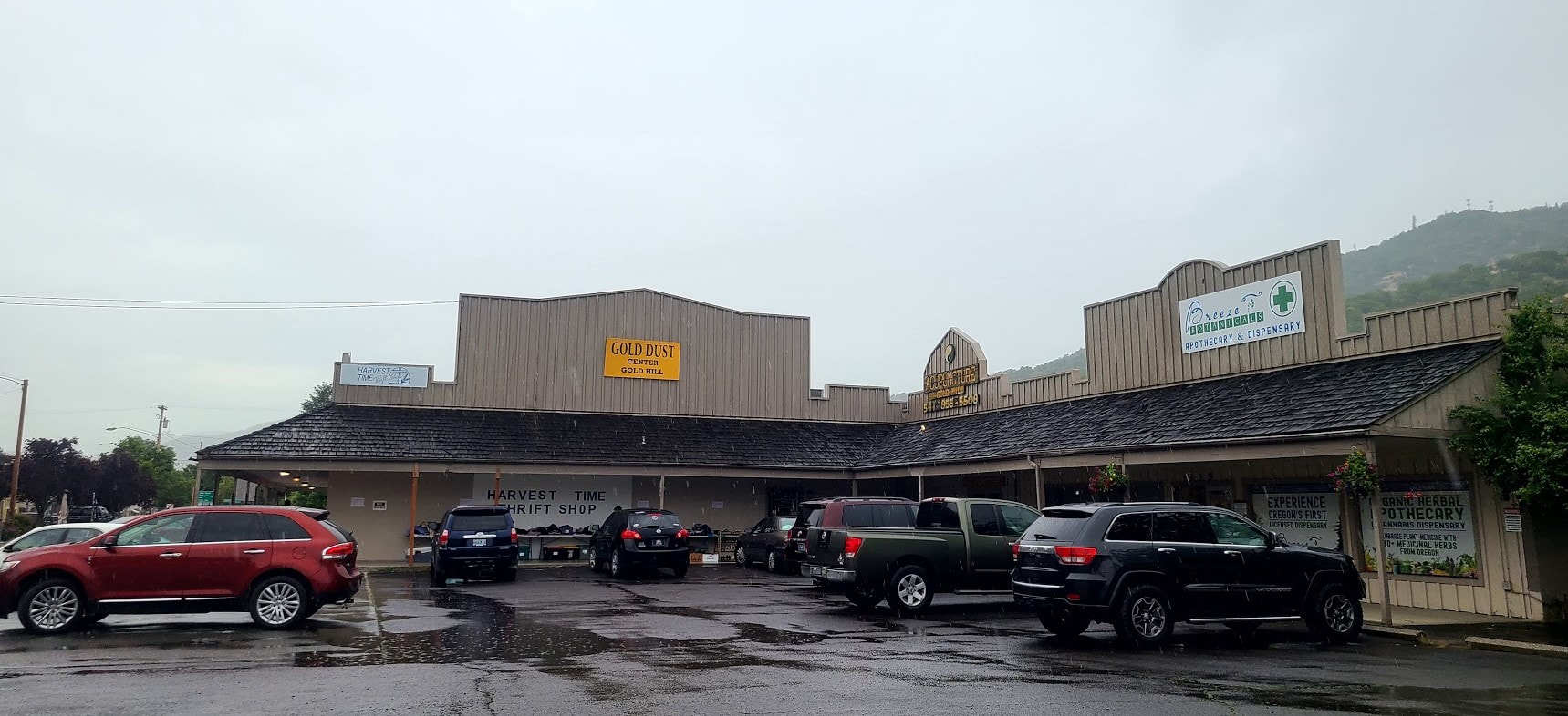
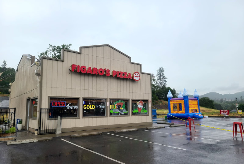
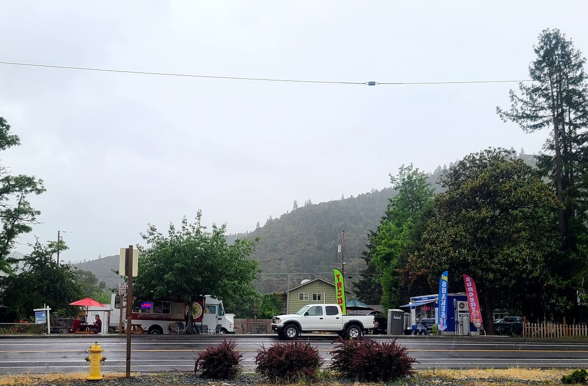
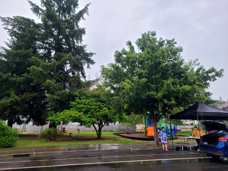
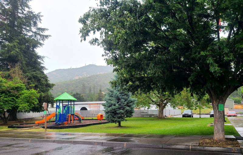
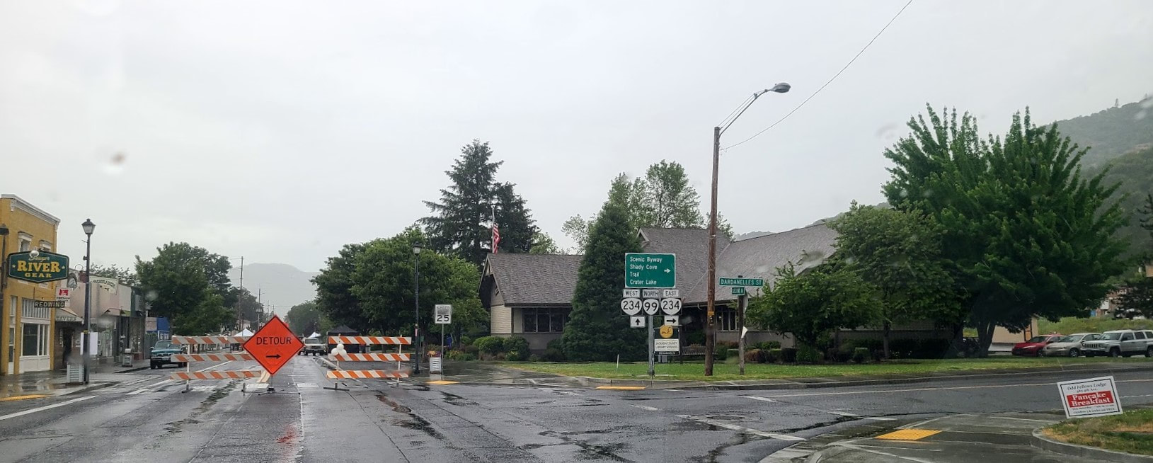
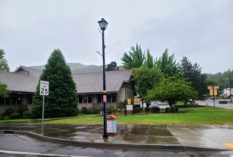
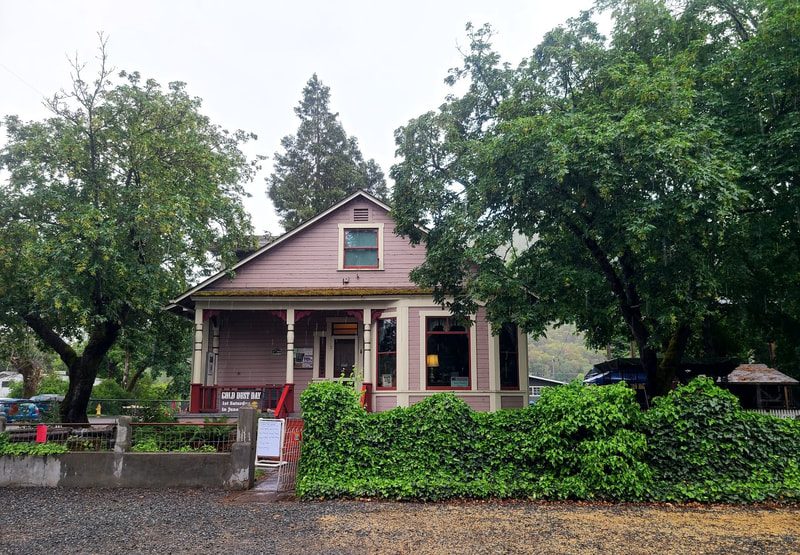
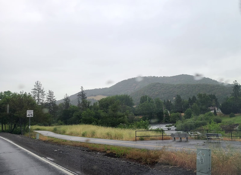
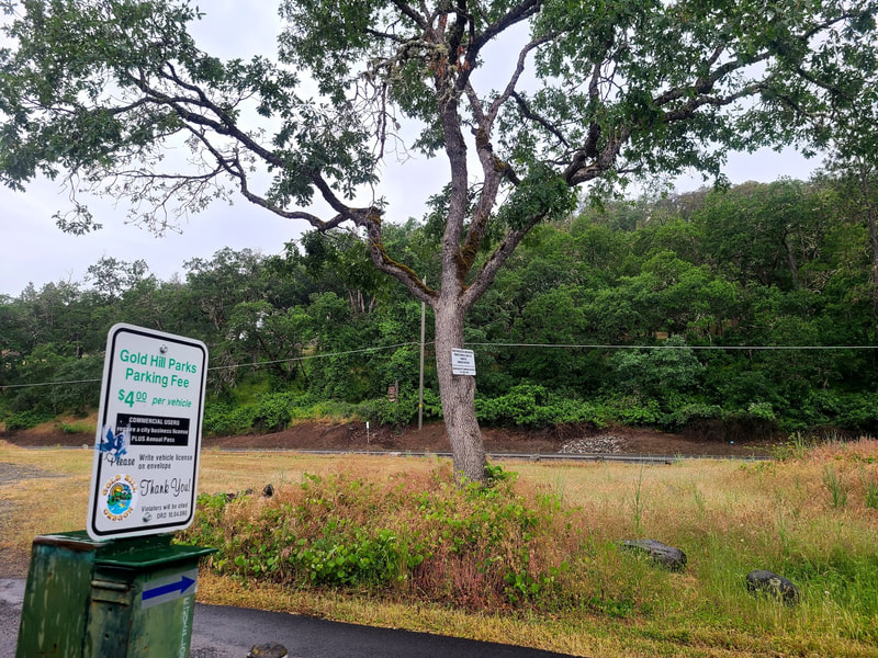
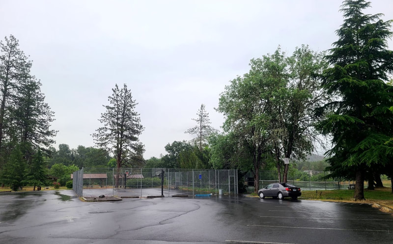
Gold Hill OR--14 mi, 20 min northwest of Medford on I-5; map says its only 1/2 hr to Shady Cove OR via Hwy 234 and Hwy 62, 2.5-3 hrs to Crater Lake depending on route. Another place I hoped to check out on my way was Gold Hill. It just happened to be their Gold Dust Days celebration (1st Sat June), coming to a close by the time I got there, perhaps in part because it was rainy. After exiting for Gold Hill from I-5 going north on the Access Rd, take Lampman Rd to the left to reach Ben Hur Lampman Park; go south on the Access Rd to Rogue Valley Zipline Adventures, and Laurel Hill Golf Course. Rogue Rafting Co is at 404 2nd Ave. Fishing Oregon Guide Service is north of Hwy 99/Blackwell Rd at 207 Upper River Rd; continue north on Upper River Rd to Gold Hill Whitewater Center. East of town on 2nd Ave/Hwy 99/Blackwell Rd is a KOA. Gold Hill Sports Park is not far up the hill on Hwy 234, and it's not too much further up Hwy 234 to Tilomikh Falls, and a little beyond that to Gold Nugget Wayside and Dillon Falls. Somewhat further up Hwy 234 (Sams Valley Hwy) is the Dodge Bridge county park, with accessible restroom, parking, and fishing platform. This is not an exhaustive list, but a fair taste of Gold Hill adventures.
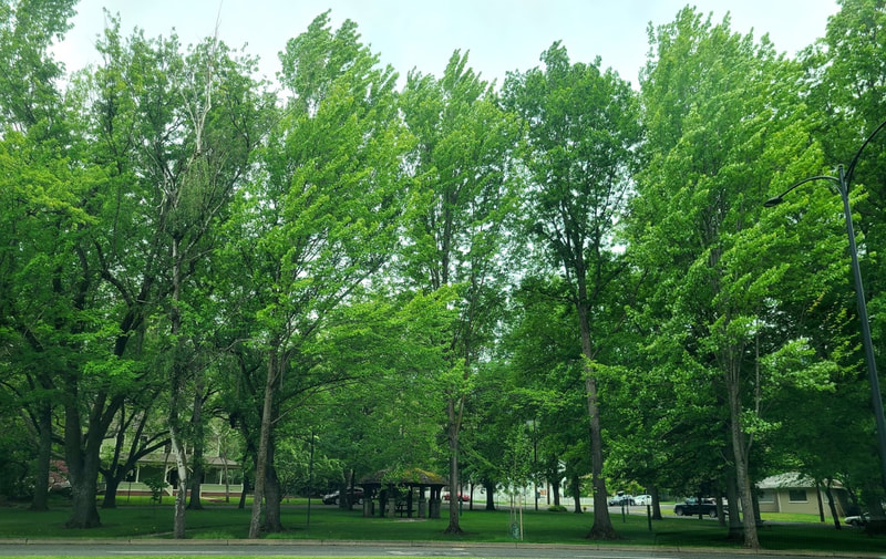
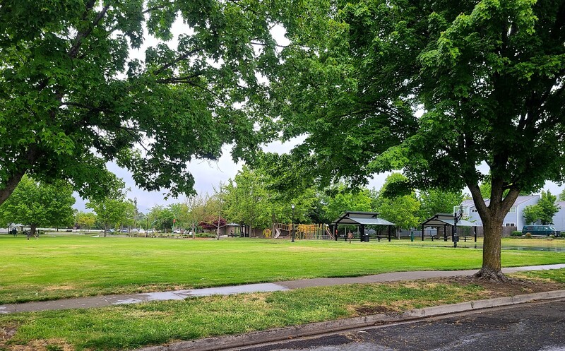
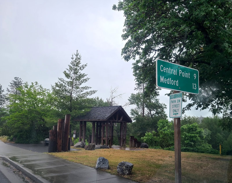
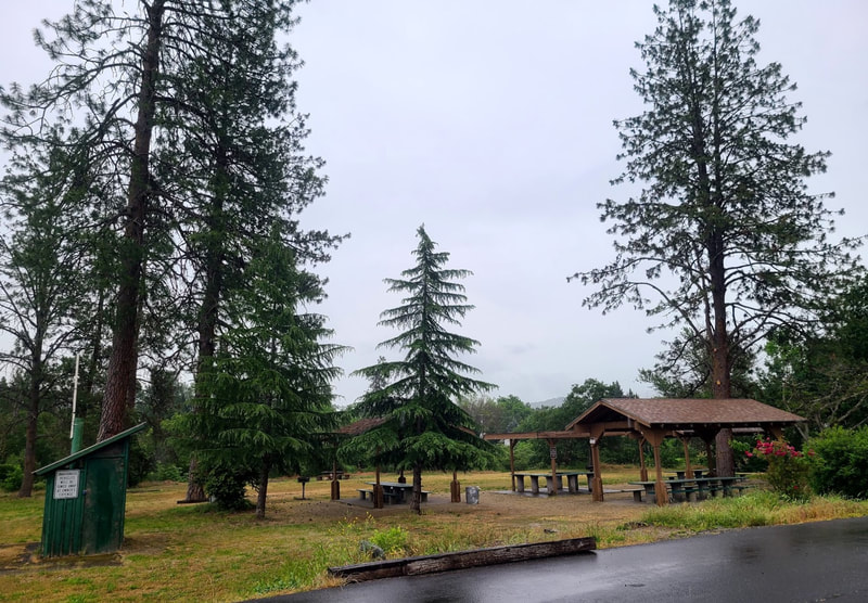
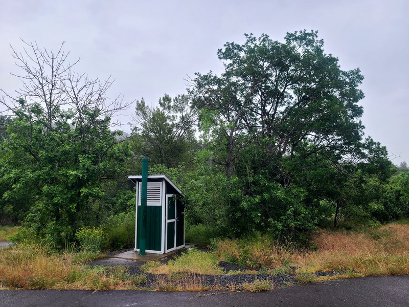
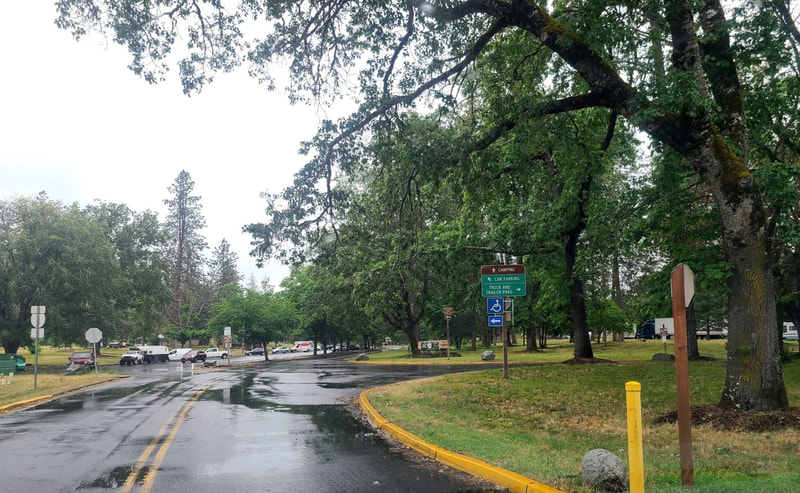
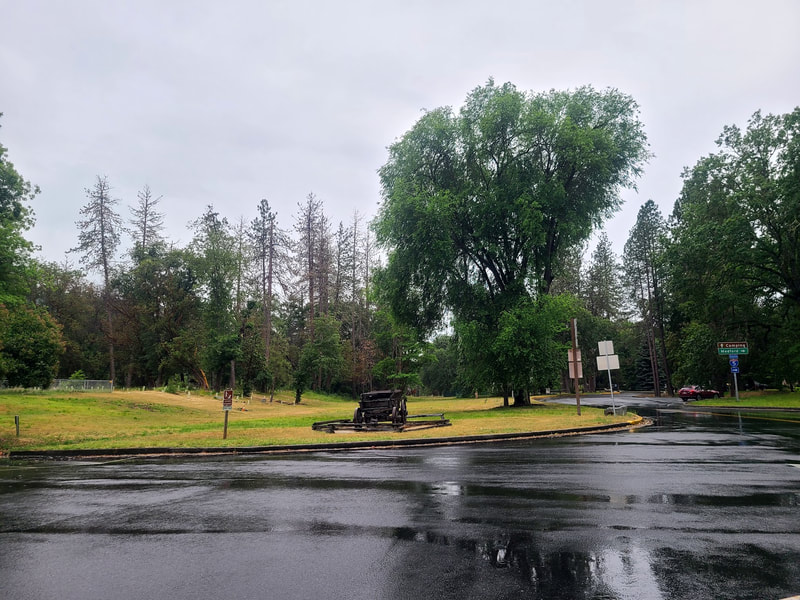
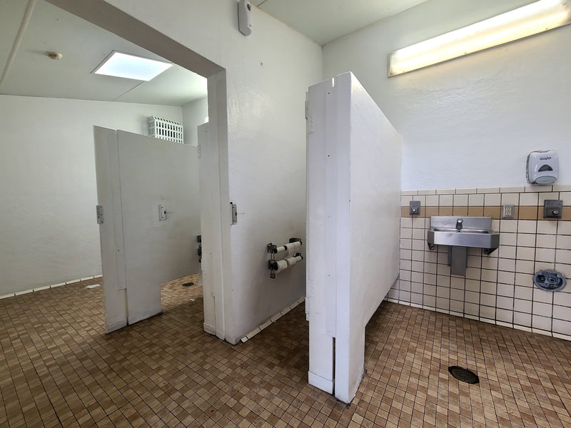
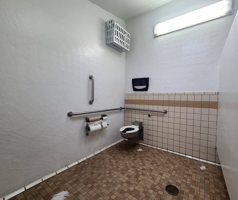
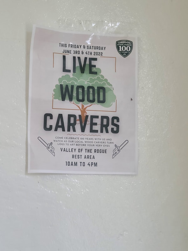
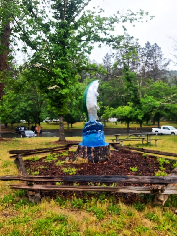
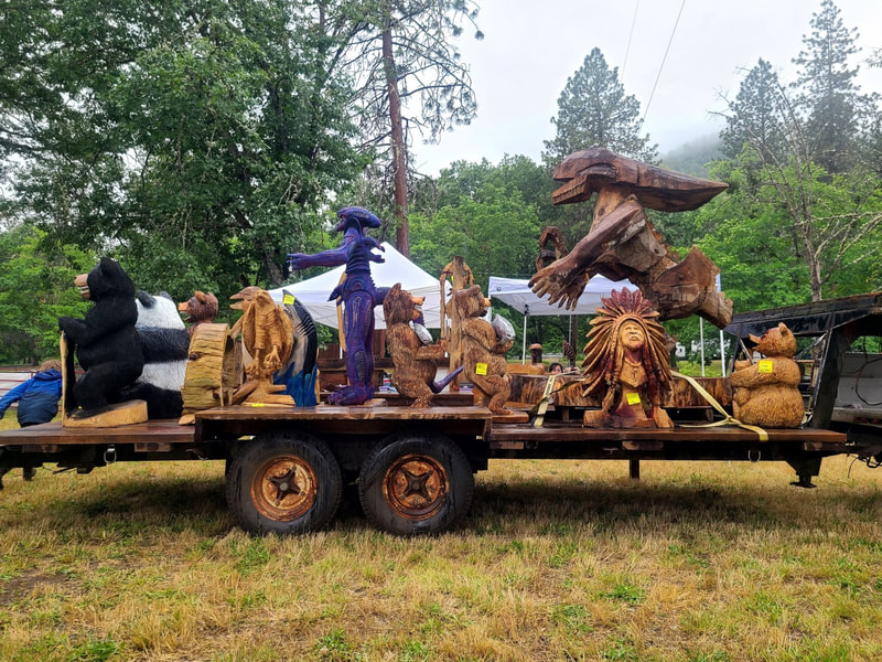
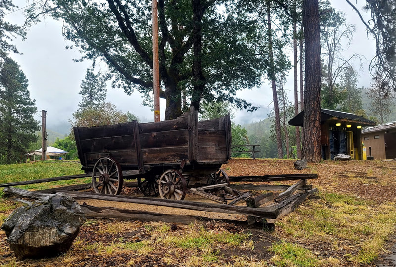
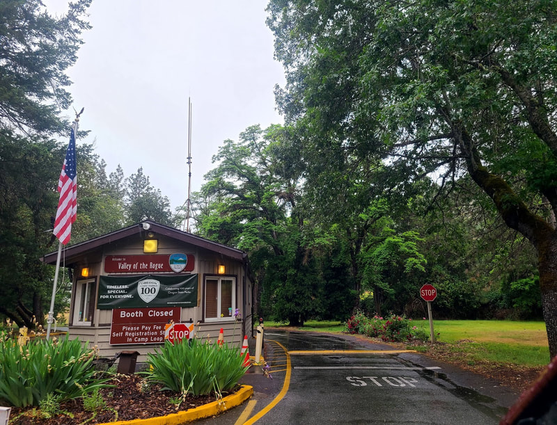
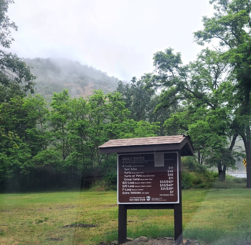
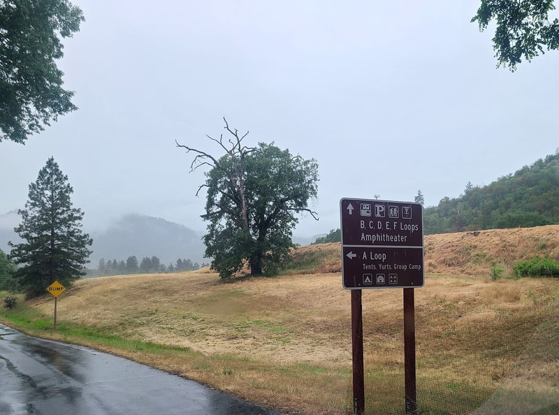
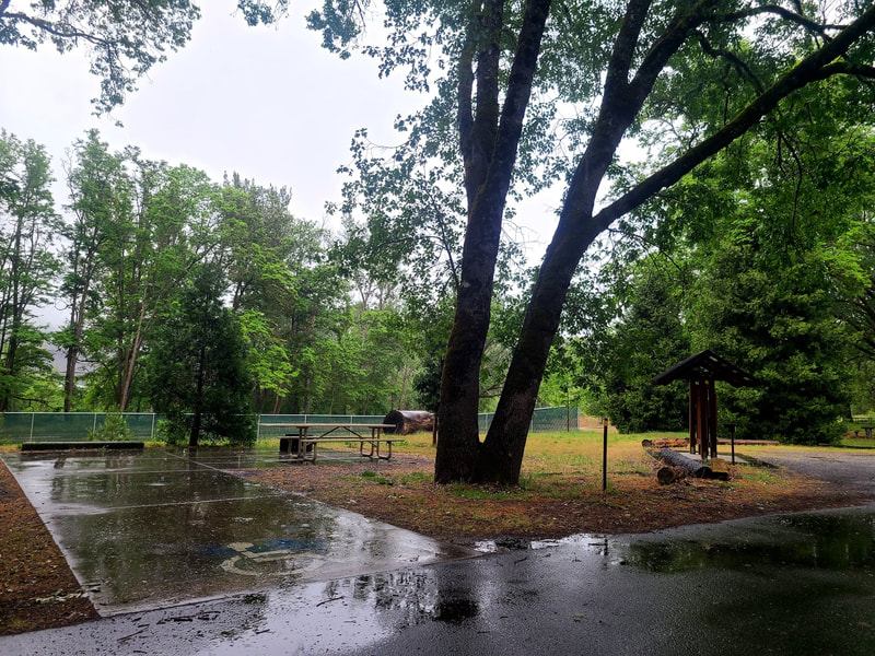
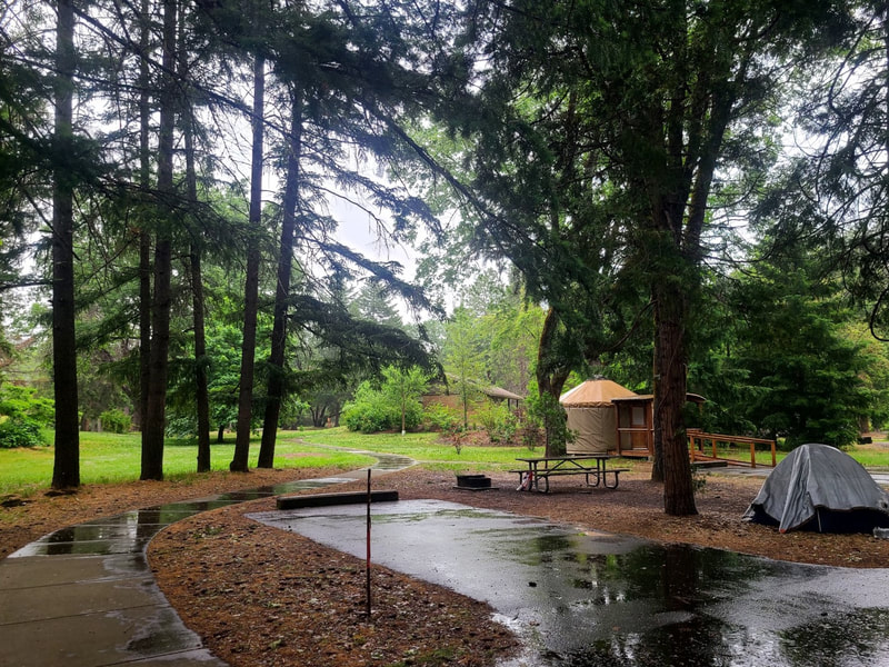
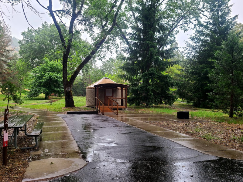
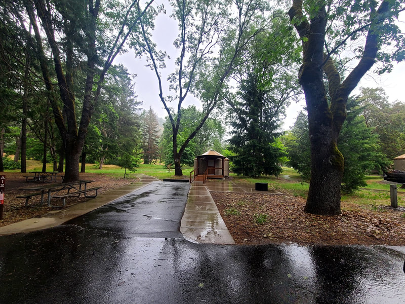
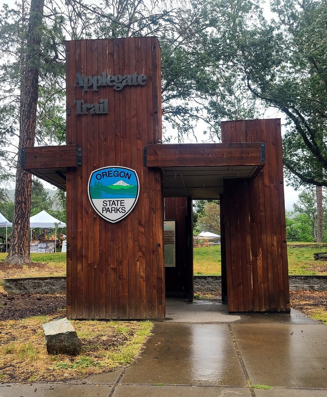
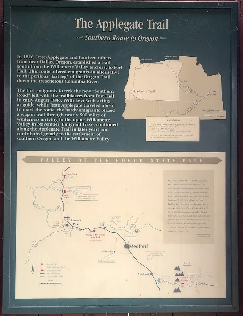
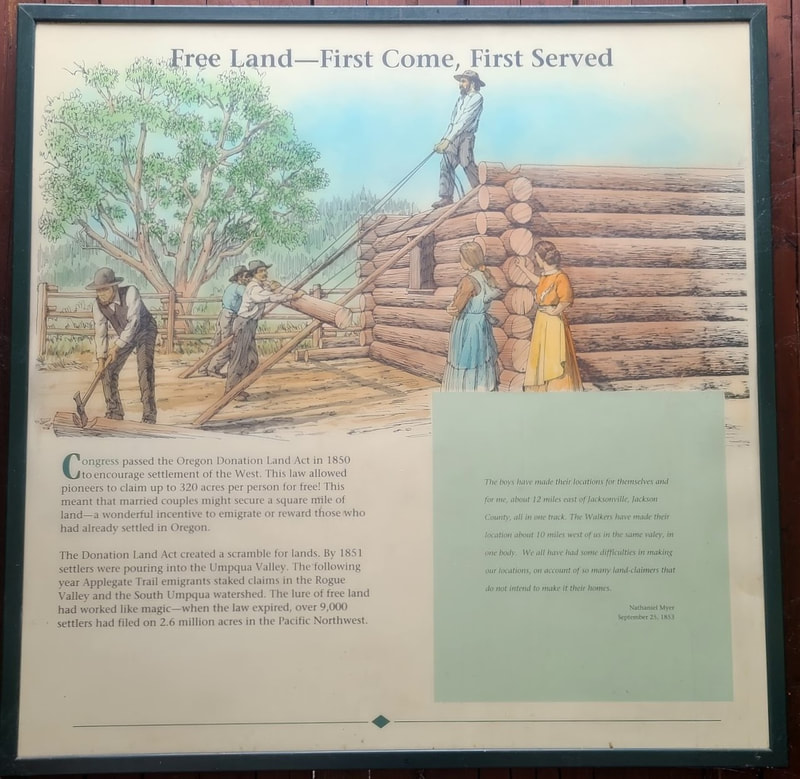
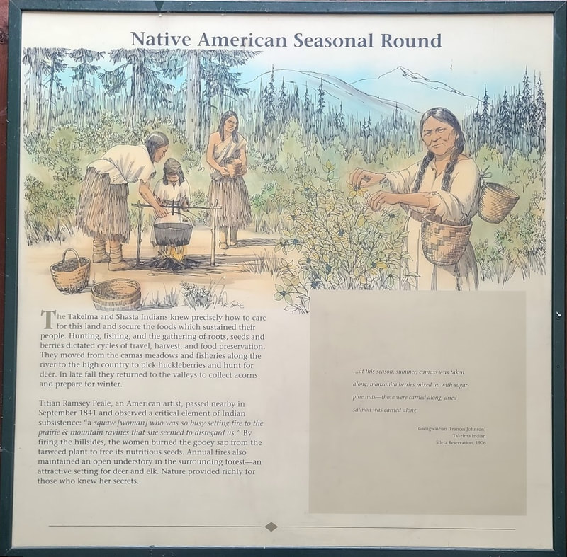
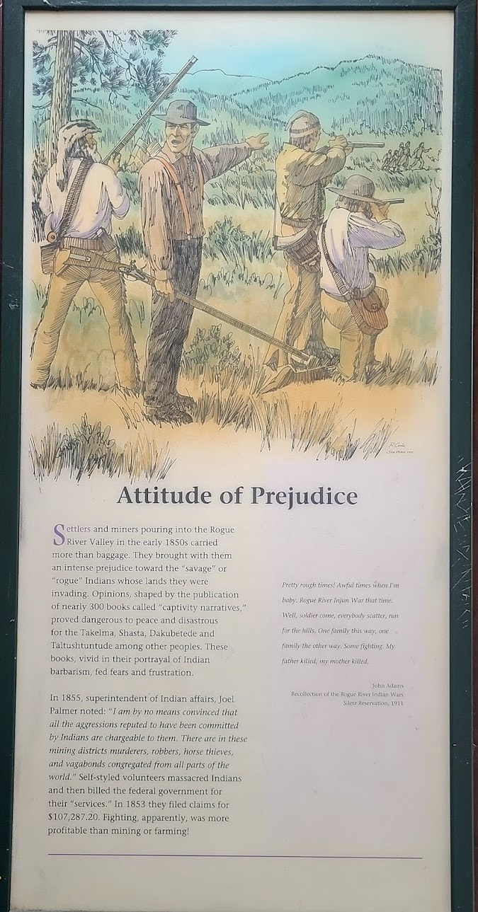
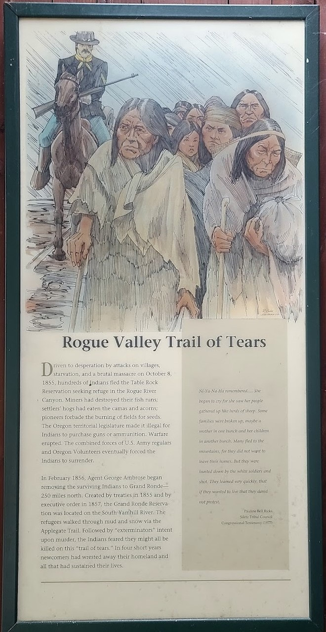
Valley of the Rogue State Park--abt 10 min, 6 mi west of Gold Hill OR; 17 min, 11 mi east of Grants Pass The Applegate Trail pavilion in the day-use area of Valley of the Rogue State Park
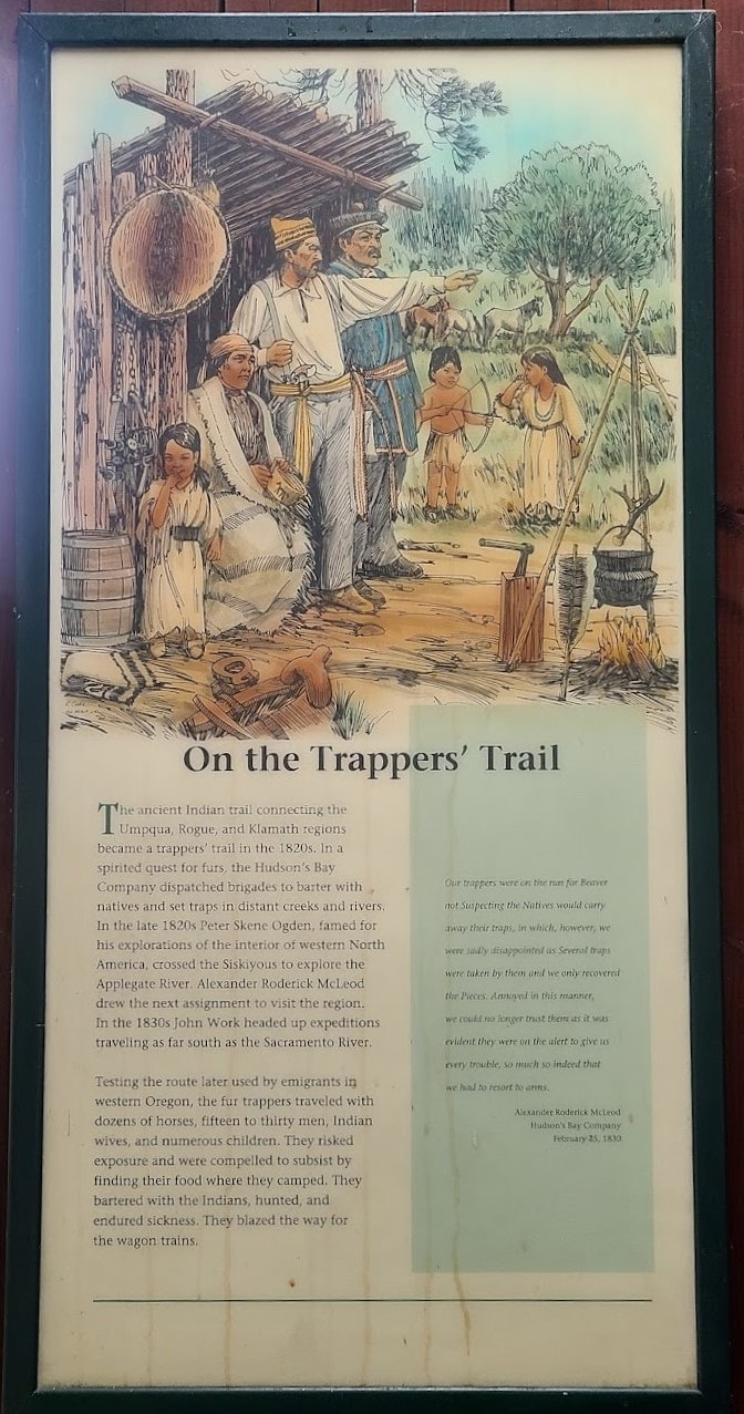
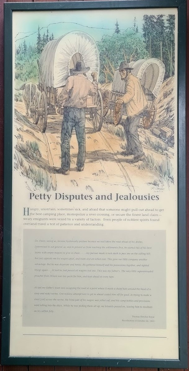
I really wanted to make this stop for the connection to the Oregon Trail, which I intend to add part 2, maybe 3, July 2022. Part 1 at
0 Comments
|
Wheelchair WomanI've been in a wheelchair for 30+ years. It poses some challenges for traveling. Maybe others can benefit from my experiences. Archives
June 2024
Categories
All
|








 RSS Feed