|
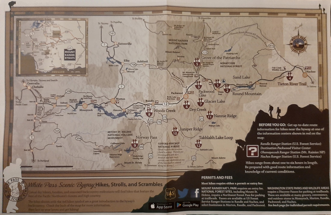
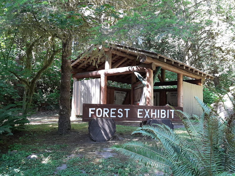
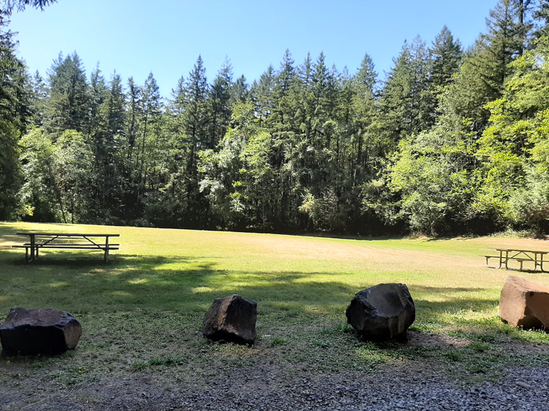
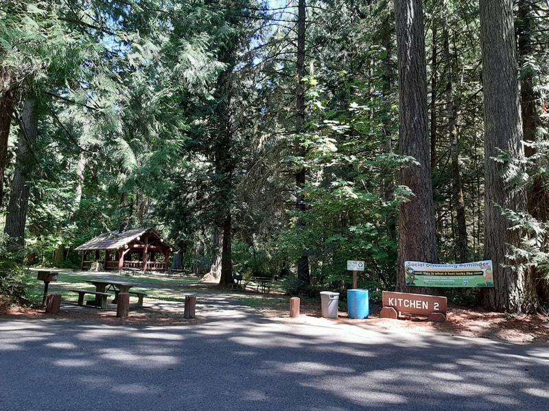
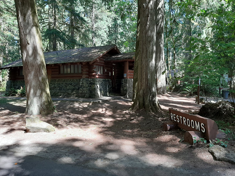
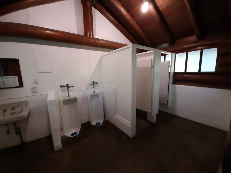
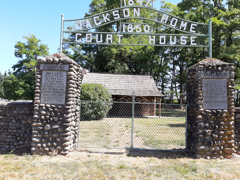
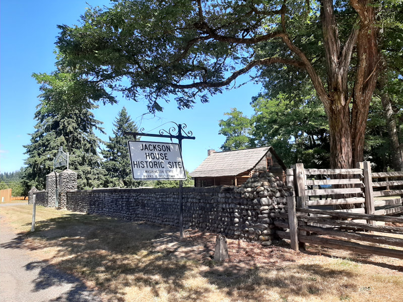
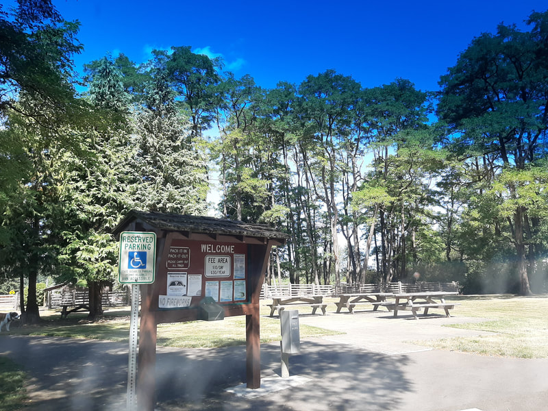
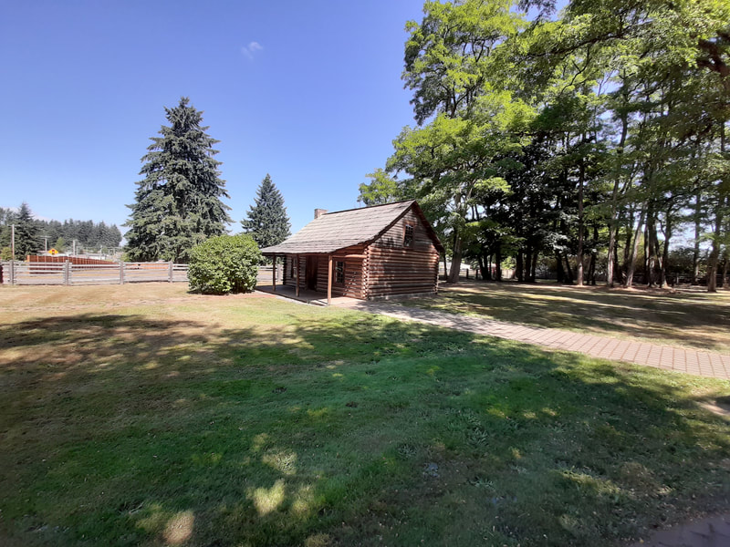
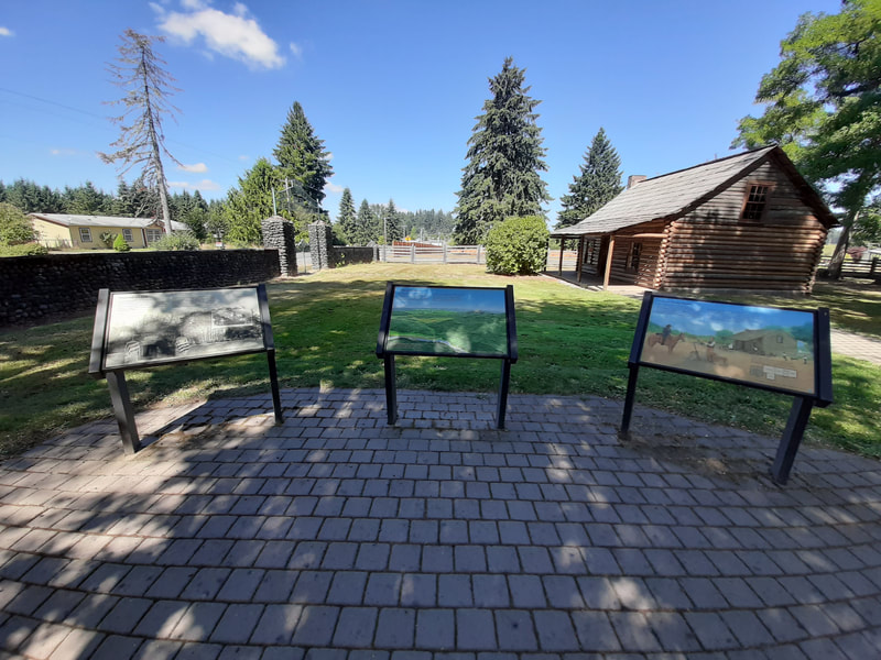
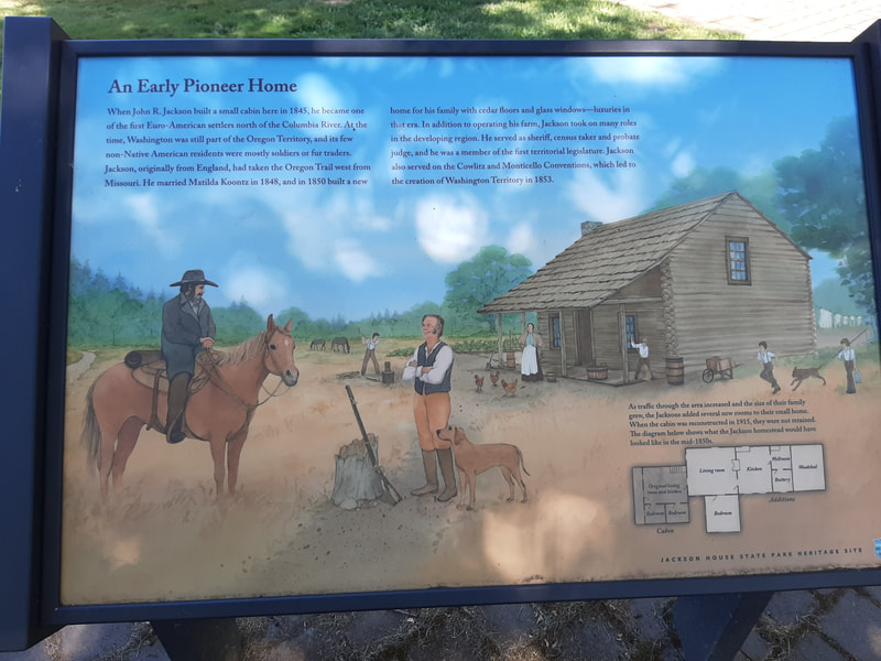
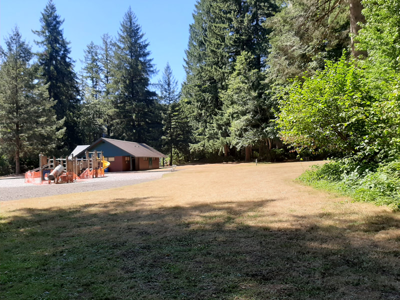
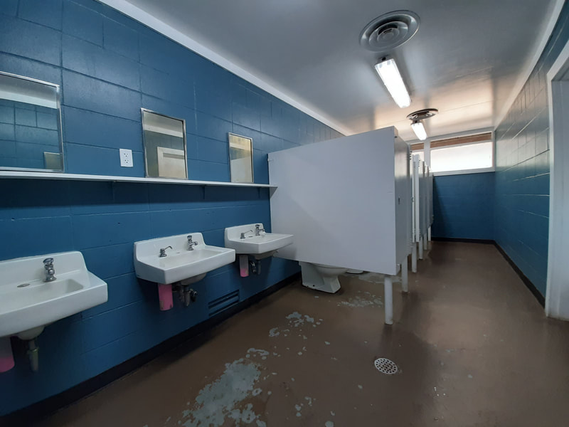
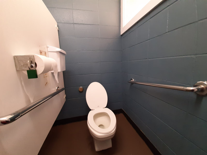
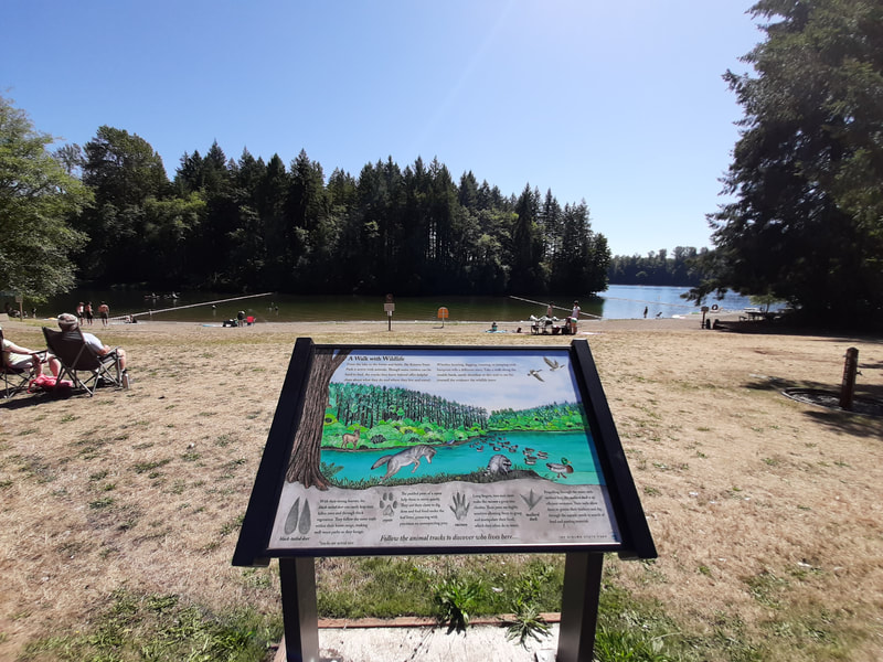
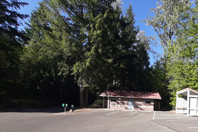
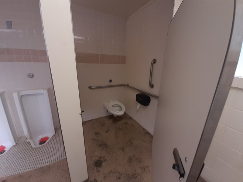
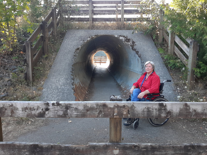
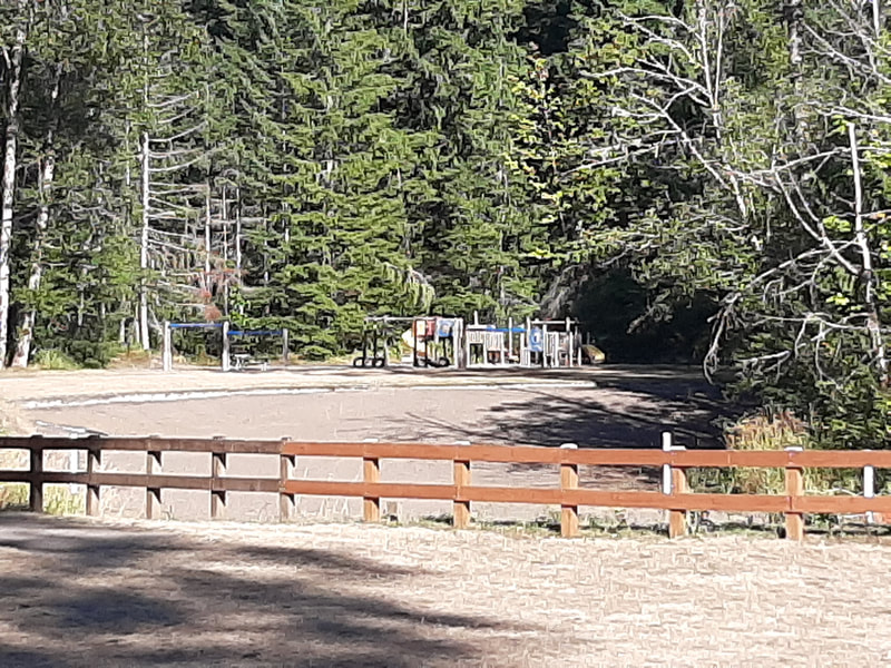
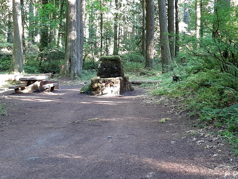
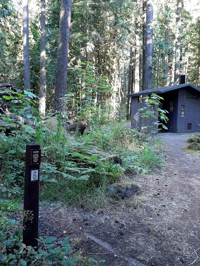
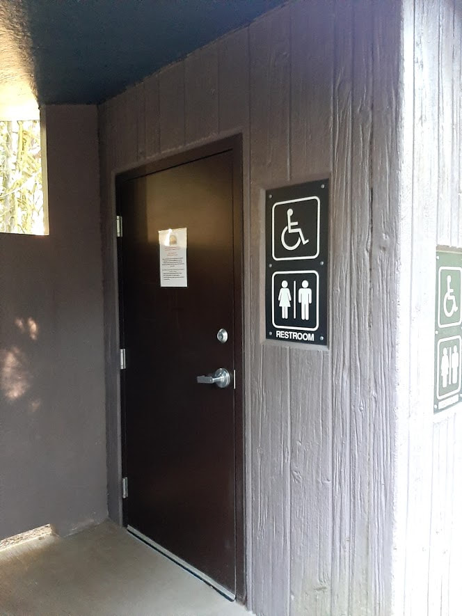
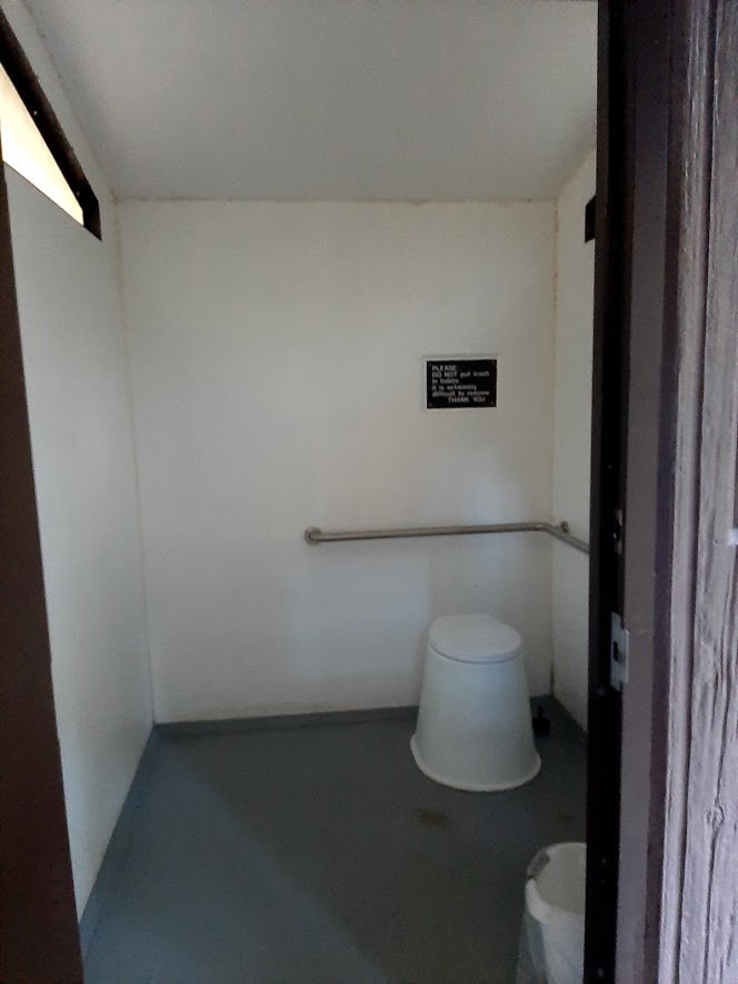
On the Way to Paradise . . . Exit 68 for Hwy 12 is about 75 miles north of Portland on I-5. It's a wonderful way to go. Lewis & Clark State Park Washington’s Lewis & Clark State Park is only about 2.5 miles from I-5, exit 68. From Hwy 12 take the Jackson Hwy south to “one of the last major stands of old-growth forest in the state. Coniferous trees, streams, wetlands, dense vegetation, and wet prairie comprise the park environment. The park contains a vast stand of rare old-growth forest. It is a Civilian Conservation Corps park, and many of the buildings constructed by the corps remain in use today.” I don’t think Lewis and Clark were ever even close to where this park is, but then General George was never in what’s now the state of Washington, either, so it’s just a way of appreciating their accomplishments. Note that the Day Use area is closed Oct-Apr15, but at least some campsites are open year-round. One group kitchen shelter is reservable, the other first-come-first serve. There’s a forest exhibit, playground, playfield, amphitheater, and June is Youth Fishing Month when kids 14 and younger can fish the creek. Some campsites are ADA accommodating, but not much else is, such as restrooms and old growth trail. More info at https://www.stateparks.com/lewis_and_clark_state_park_in_washington.html and https://parks.state.wa.us/538/Lewis-Clar Jackson House State Park As mentioned in the links above, on the way to Lewis & Clark State Park, you will pass by or stop at the Jackson House State Park on the Jackson Highway. Very interesting for history buffs, and has picnic tables and room to run for kids needing to stretch their muscles. Site says there are restrooms, but nothing about accessibility.
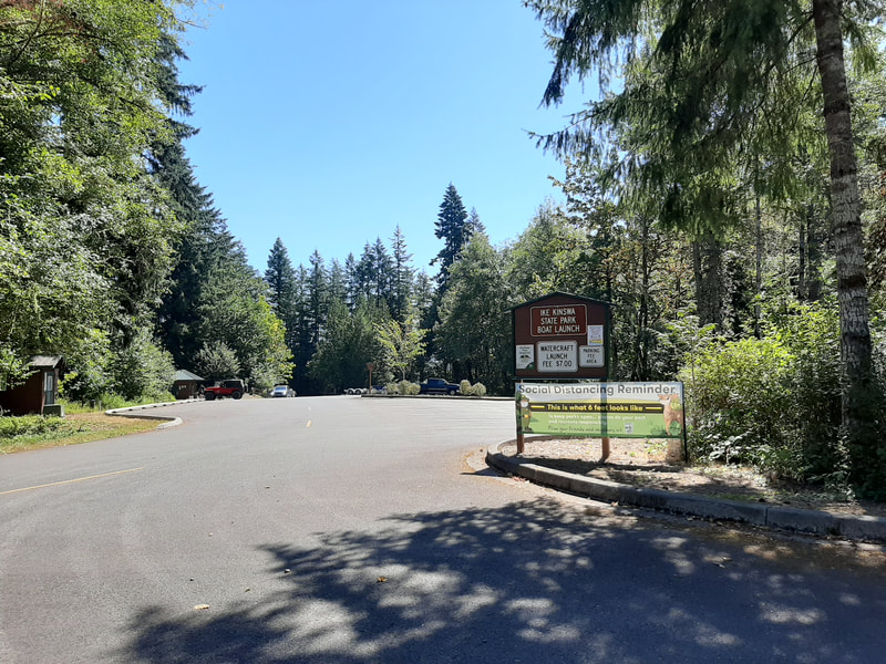
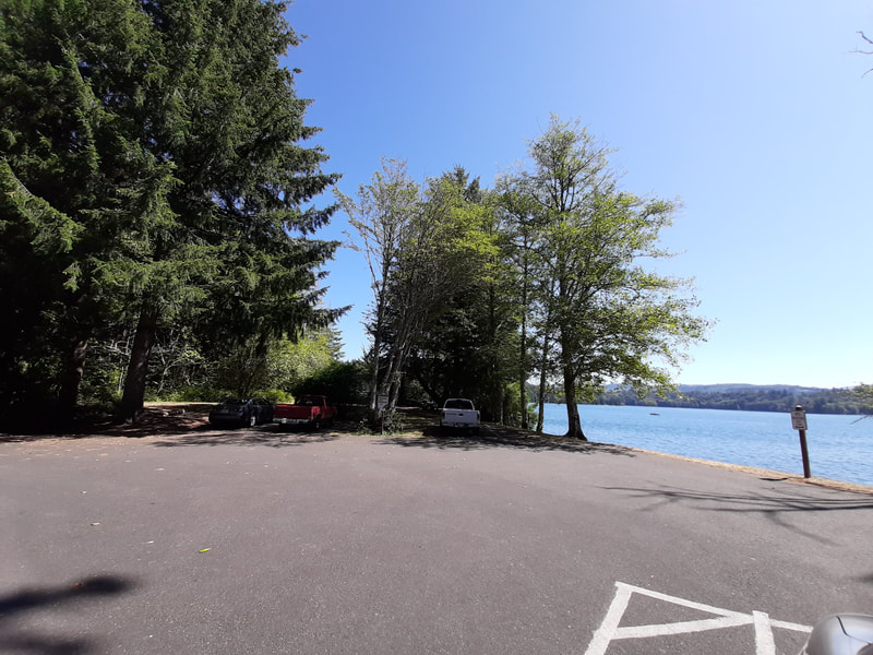
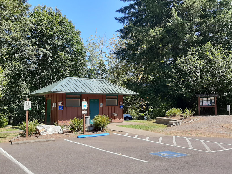
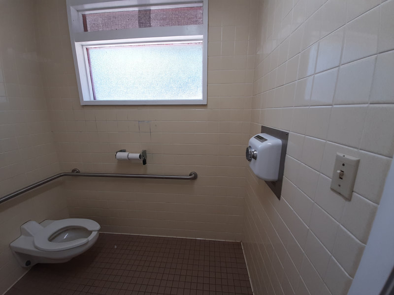
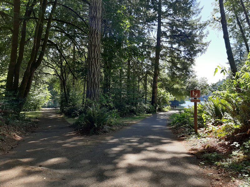
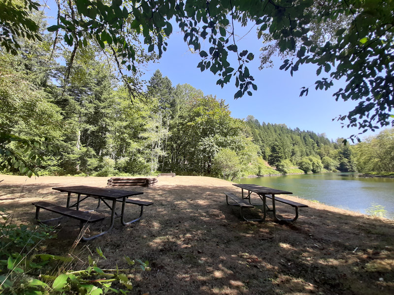
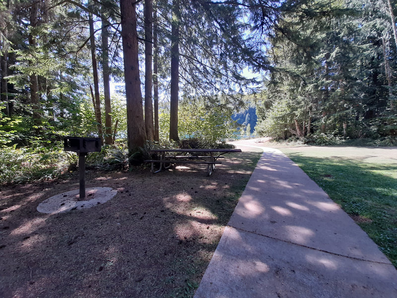
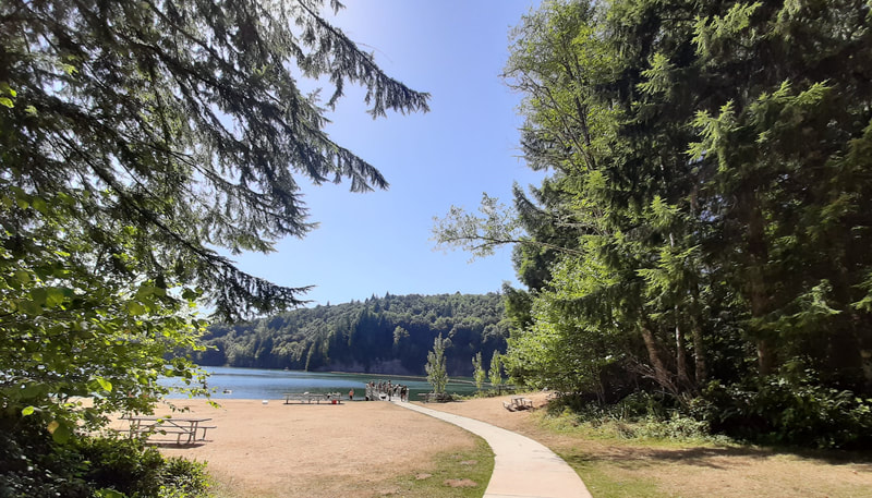
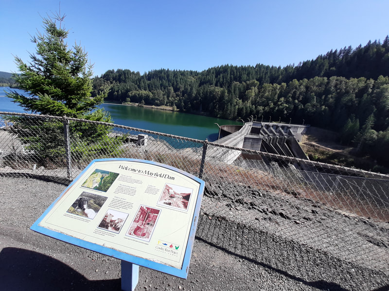
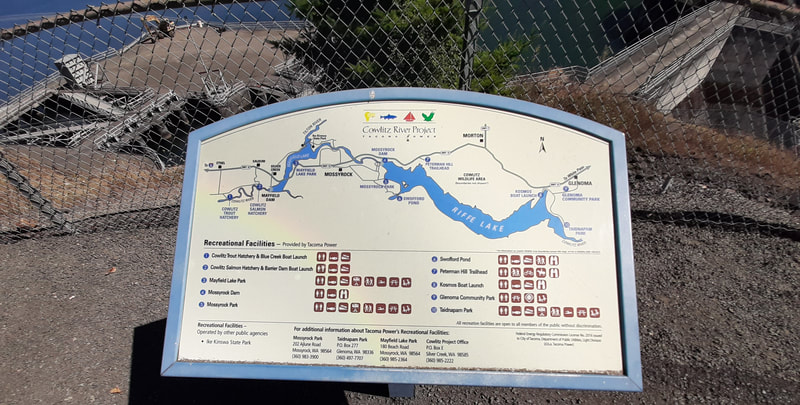
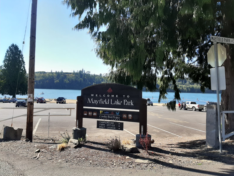
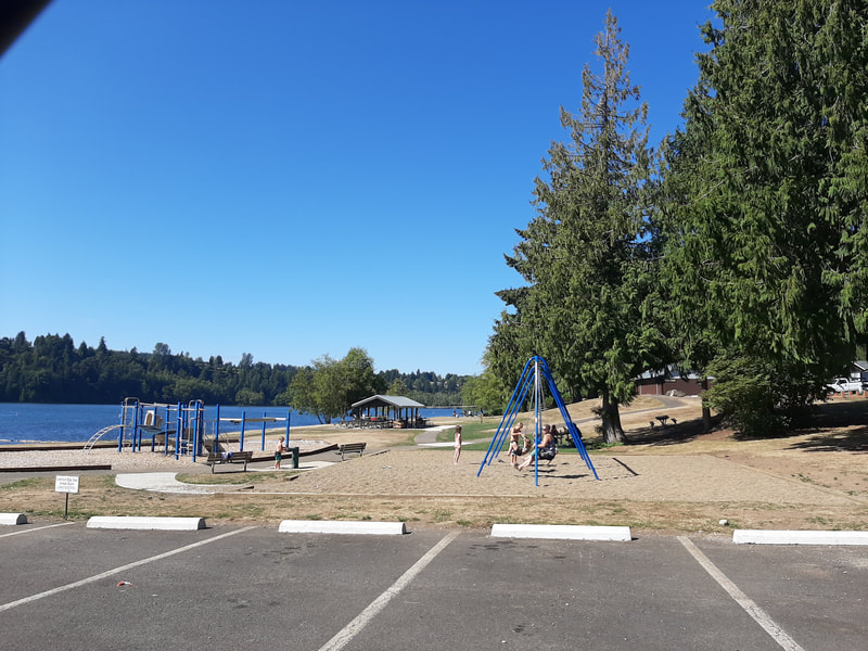
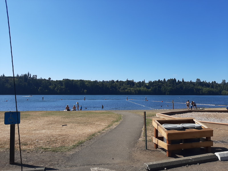
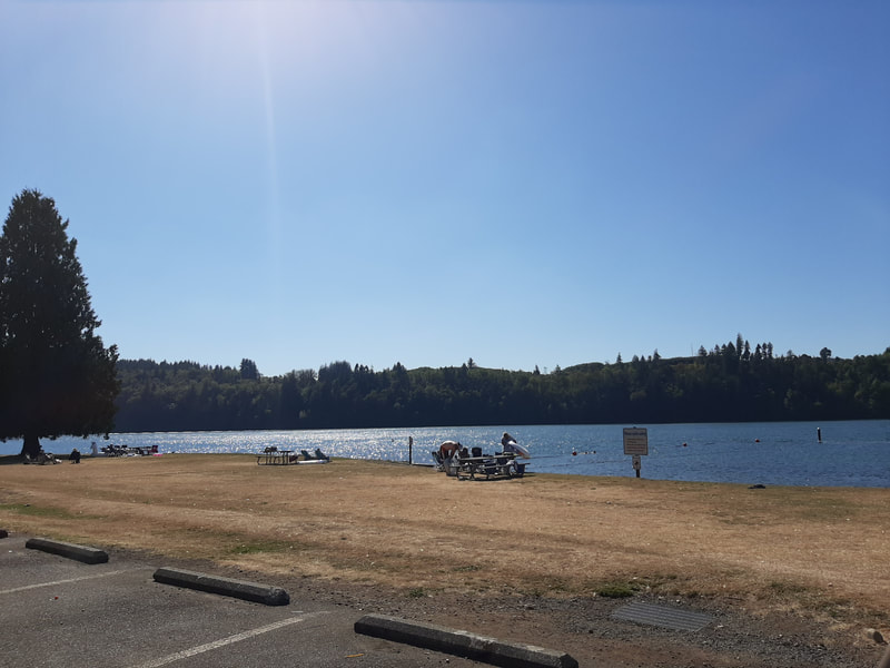
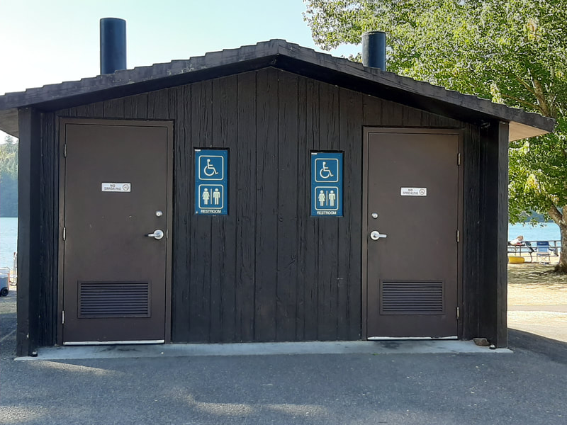
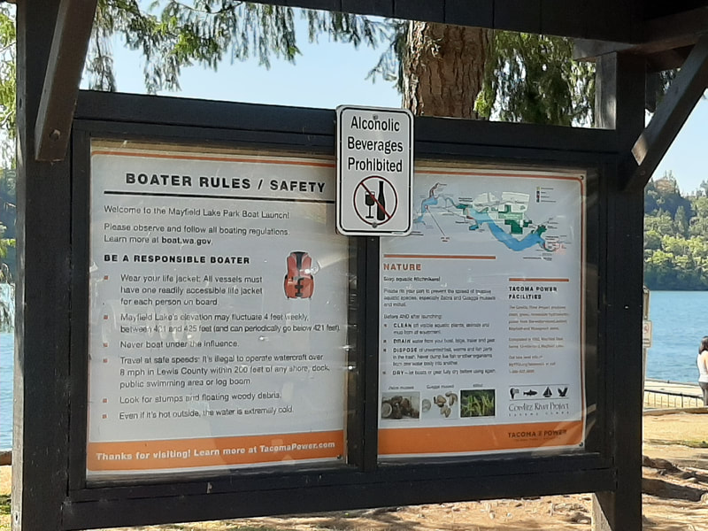
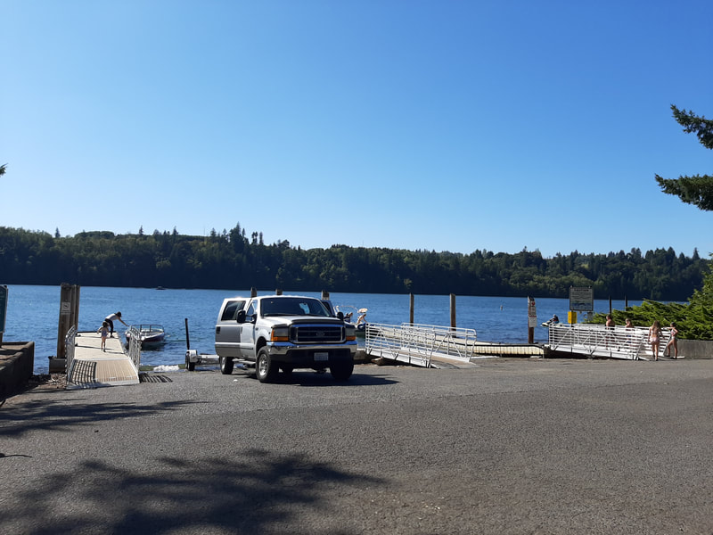
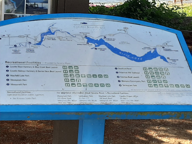
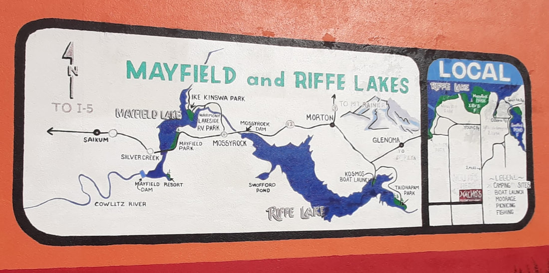
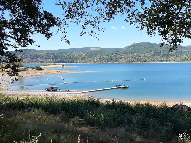
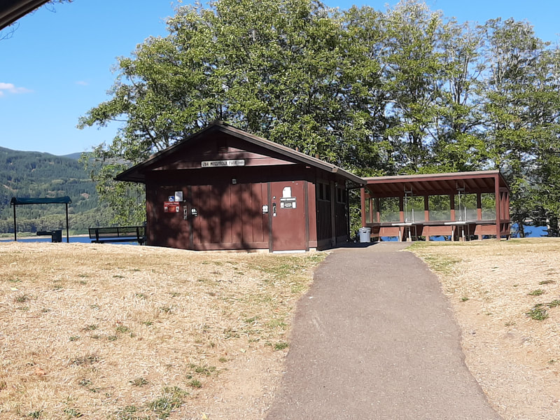
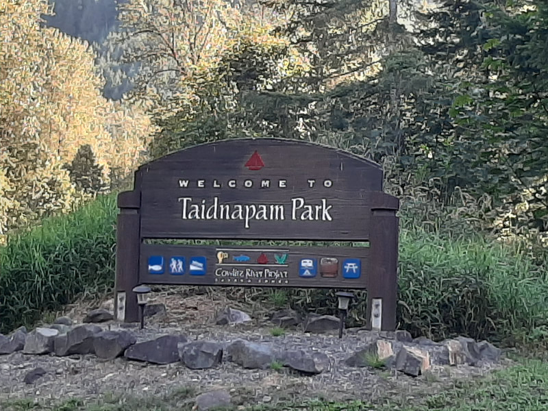
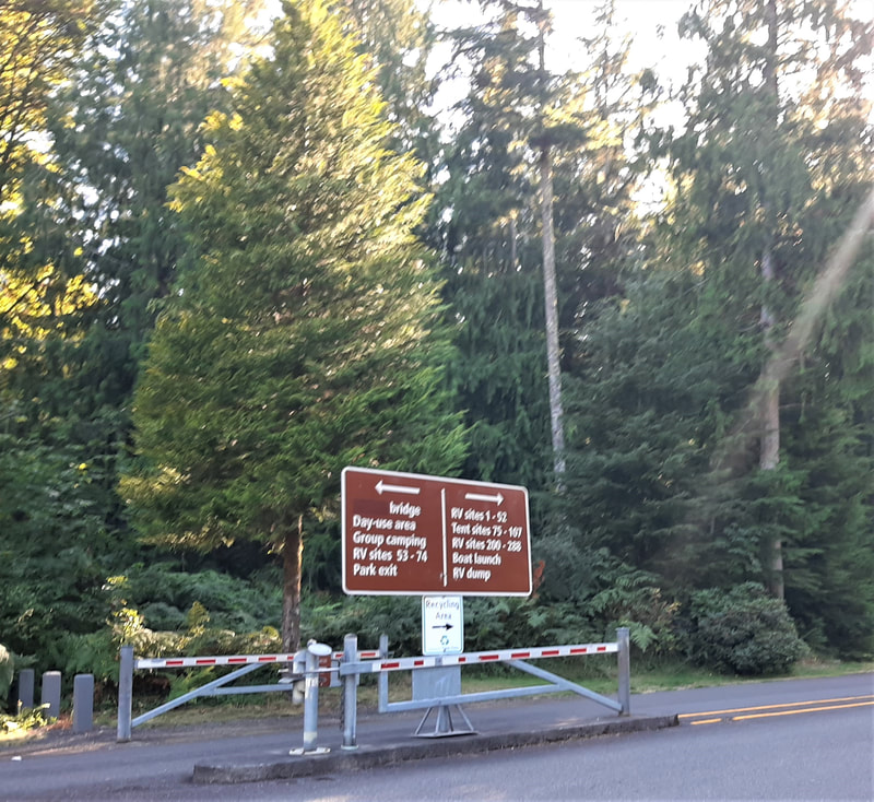
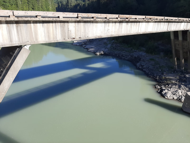
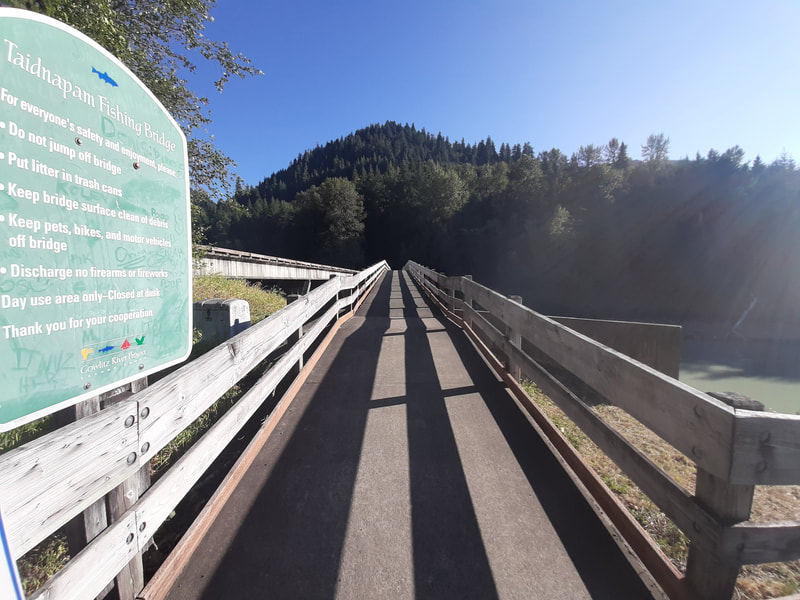
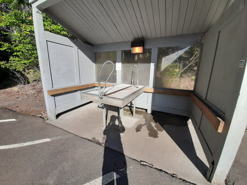
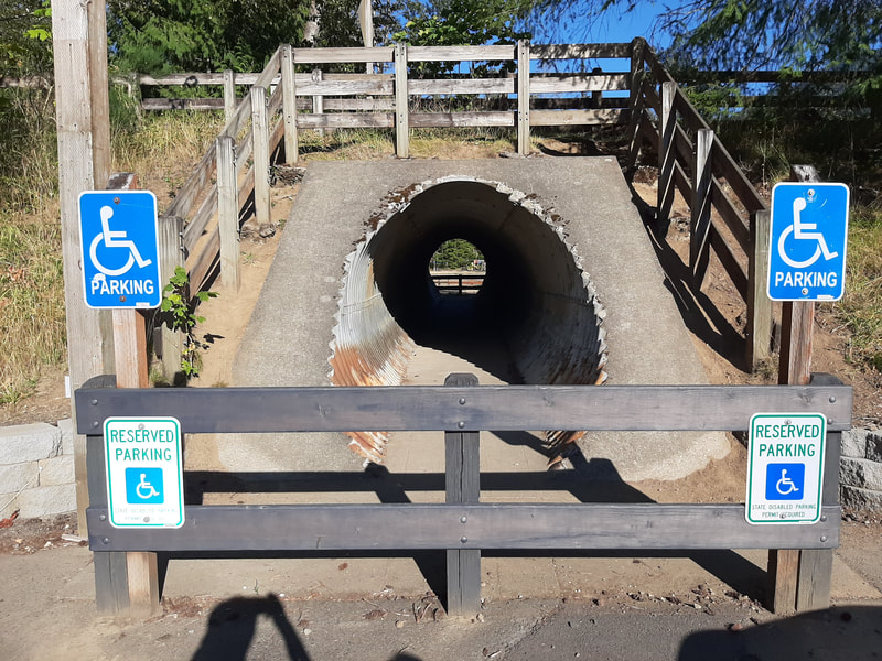
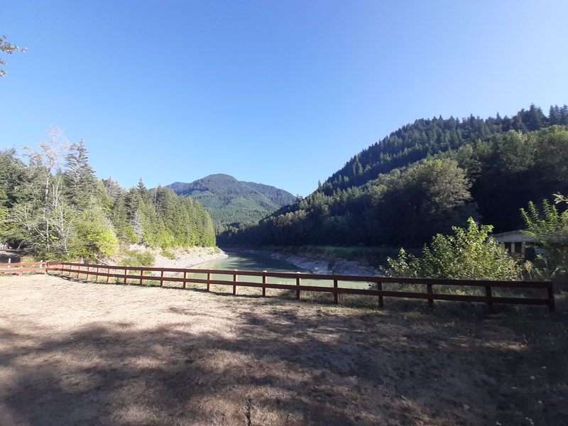
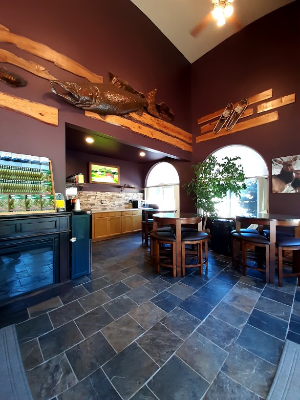
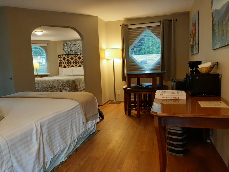
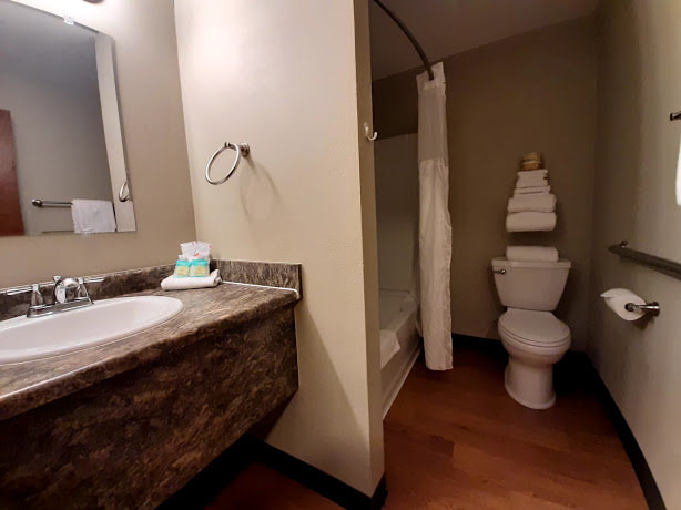
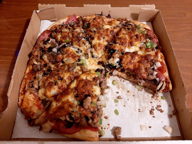
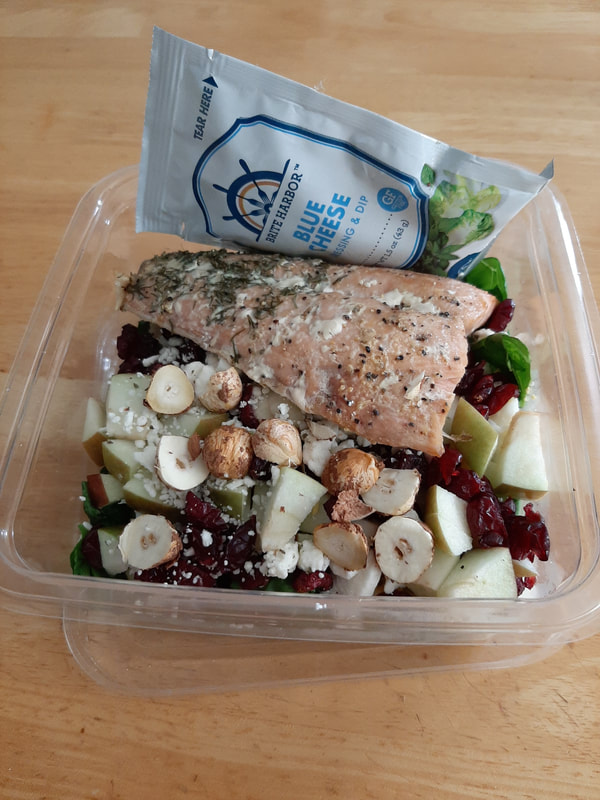
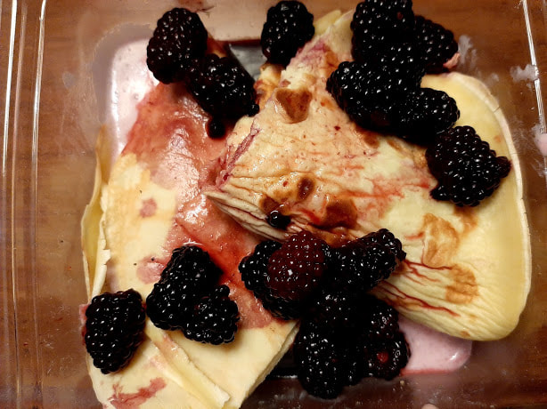
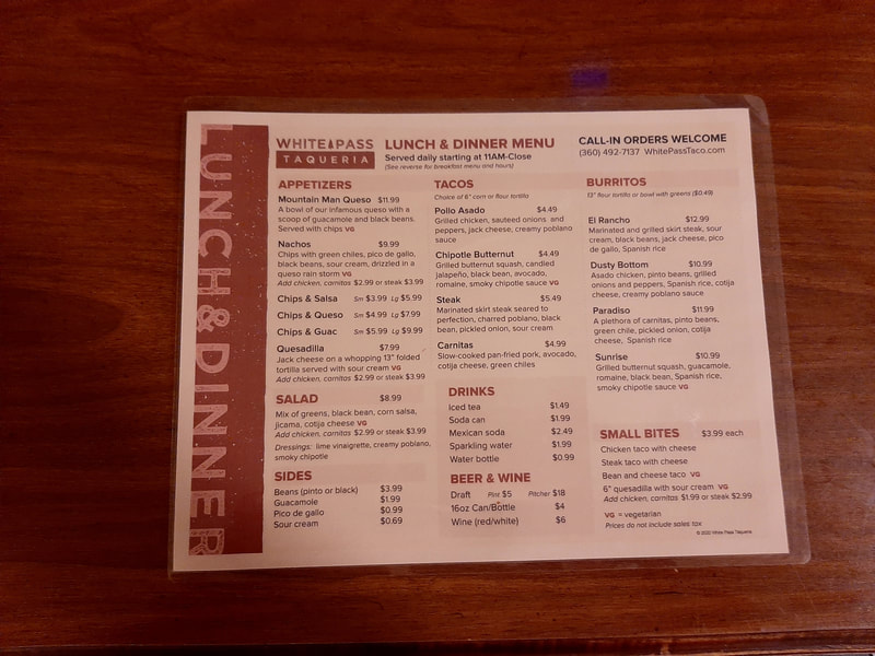
Ike Kinswa State Park The turn-off for Ike Kinswa State Park is not quite 14 miles from I-5 on Hwy 12. There’s a ½ mi hint, but the turn-off comes up suddenly with little notice (small sign) where to turn north off Hwy 12 onto Hwy 122-E. You’ll travel through farmland on the north side of Mayfield Lake. The boat launch area is first (has picnic tables and restroom, beside boat launch and great views; Discover Pass and launch permit fee, dump station fee). Continue on Hwy 122 east a little, and the campground is to the right, the day use to the left. You can get a useful map and info at the entrance to the campground. There are lots of great amenities at this park, which is open year-round, but I was attracted initially for the accessible fishing pier, which is nice and easy to get to. There’s as restroom with an accessible stall, and the paved path past the restroom leads down to the accessible fishing pier. The handicapped parking spots at both entrances to the day use area are hemmed in kind of narrowly. Nice picnic spots, swimming area roped off (looked kind of murky), kayaking, trails (some wheelchair friendly paths), horseshoes, etc. The campground has campsites, hookups, RV dump (seasonal), cabins, 4 restrooms, 10 showers. “The nine cabins at Ike Kinswa State Park sit along Mayfield Lake and are within walking distance of the lake. Each cabin is 12-by-24-feet in size and features a 6-foot covered front porch, picnic table, electric heat, lights, and locking doors. Bathrooms and showers are nearby. Cabins are furnished with bunk beds that sleep three and a full-size bed. Outside is a fire grill, utility hookup, and a deck that is ADA accessible. Pets are allowed in cabins 4, 5 and 9 with a $15 (plus tax) pet fee per night.” More info at https://parks.state.wa.us/519/Ike-Kinswa and https://www.stateparks.com/ike_kinswa_state_park_in_washington.html Highway 122 rejoins Hwy 12 at Mossyrock if you keep going east. Mayfield Dam The turn-off for Mayfield Dam is just a bit past the west end exit to Hwy 122 off Hwy 12. It’s on the right. There’s a fenced cul-de-sac that looks way down on the dam at the south end of Mayfield Lake, with a bench or two and some info signs. It’s just a small paved area, but those interested in dams would like to see. The view across the lake is nice. Only personnel allowed in the fish hatchery at water level. Mayfield Lake The privately owned Mayfield Resort & Marina can be seen across the lake from the dam, and you get to it south (right) off Hwy 12 via Winston Creek and Hadaller Roads. There are accommodations, playground, marina, restaurant, and nice people. https://lakemayfield.com/ Mayfield Lake Park was developed and is maintained by Tacoma Power. It’s a great family place with a nice beach, playground, boat ramp, restrooms, campsites (water & electricity) and day use ($5 fee summer holidays & weekends), group camp, fire rings/grills, coin-op showers, accessible sites and restrooms, reservable kitchen shelter, fishing, horseshoes, volleyball. From I-5 drive east on Hwy 12 about 17 miles, turn left on Beach Road and the park entrance is ¼ mile. https://www.mytpu.org/community-environment/parks-recreation/mayfield-lake-park/#pattern_8 Mossyrock and Mossyrock Park Mossyrock is a cute tiny town a bit south of Hwy 12 (pop 759 in 2010, though the K-12 school district of 400 serves the surrounding area). It’s been around since 1852. The town’s website has some interesting history at http://www.cityofmossyrock.com/ The August Blueberry Festival had to be cancelled in 2020 due to COVID-19. ☹ See also https://discoverlewiscounty.com/mossyrock For more photos of the hamlet of Mossyrock, scroll to the end of Mossyrock Park is another of Tacoma Public Utilities’ developments. It’s a family-oriented campground and picnic area on Riffe Lake, with a boat launch, fish cleaning stations, swimming, playground, horseshoes, volleyball, coin-op showers, laundry, water faucets throughout the campground, reservable kitchen shelter, trails (including .8 mi wheelchair accessible), handicapped campsites and restroom, and group areas. Each campsite has a fire ring and picnic table, but be aware of fire restrictions. Day use parking is $5 on summer weekends and holidays, otherwise free. It’s only a 6 min drive (3.2 mi) to Mossyrock Park from Mossyrock town, if you don’t mistakenly take a right when you should go straight. Head east on Main Street, take a slight left onto E. State St., and continue on Mossyrock Road E. and Ajlune Road. Don’t veer to the right at Swofford Rd, unless you are trying to go to Swofford Pond and fish, but it’s not handicapped friendly. Cowlitz Wildlife Area We came across the sign for Cowlitz Wildlife Area, but weren’t sure what it was. At home I found it at Taidnapam Park, Cowlitz River Project, Tacoma Power Taidnapam Park is about 15 min (9.5 mi) east of Morton WA (total about 2 hours from Portland to Taidnapam). Take Kosmos Rd from US-12 southeast of Morton, then Bridgeover Rd, and a sharp left onto Champion Haul Road. Warning: Taidnapam Park is so popular that you should reserve 9 months in advance. During COVID-19 we had no problem with crowds in the day use areas. We didn’t check the campground. And there are reasons Taidnapam is popular: fishing bridge over Riffe Lake, fish cleaning station, accessible restroom, 2 boat launches, picnic tables with grills, playground, and swim area in the Day Use ($5 summer holidays & weekends). The forested campground has fire rings & picnic tables in each site; campsites with water, electric, and some with sewer hookups, group camp with hookups, coin-operated showers, accessible restrooms, and primitive camping. Year-round camping and day-use (except Dec 20-Jan1). Lake levels may affect swim areas and boat launches. You can call to find out—look for the number at the link below. Be aware of fire restrictions, and heavy logging truck traffic. Packwood Lodge & Cuisine Restaurant choices are limited in Packwood, so we decided to buy a pizza there at Cruisers, and brought salad and cheesecake, fruit cups and drinks and such from home. I wanted a Pacific Northwest themed salad, so I topped the spinach greens with chopped apple, dried cranberries, chopped hazelnuts, feta crumbles, and cedar plank-grilled salmon. It was so good I didn’t use the dressing I brought, but you could top it as you like. The gourmet combo pizza was expensive, but delicious, even left over. For breakfast we likewise brought some choices—for myself I brought crepes, combined whipped cream with a small piece of the cheesecake to wrap the crepes around, and topped them with blackberries. White Pass Taqueria is right there by the Packwood Lodge, and they feature breakfast burritos and other choices, as well as a lunch and dinner menu (menu provided in-room). Likewise, it didn’t seem like there were many good choices of hotels in and near Packwood, but after looking at the website and calling the Packwood Lodge, we decided to give them a try. The Tudor exterior is a bit dated, but the King Suite we got was very nicely appointed. The bathroom was tight to maneuver in a wheelchair, so I was glad for the grab bar by the toilet. All was clean, recently renovated. There was the usual (reasonably sized) frig and microwave, tables and chairs in the spacious quarters. The French doors were a nice touch, but didn’t open onto a private area. Two sleeping areas could have had a curtain between, at least. Nice big flat screen TV in my room. I forgot to measure the height of the bed, but it was high, if that’s an issue for you or yours. The room was octagonal, so made an awkward angle between the bed and nightstand. Inconspicuously wheeled furniture made it easy to adjust for that.
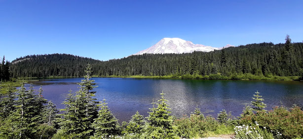
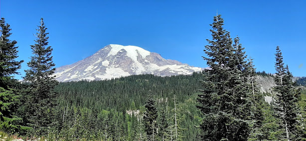
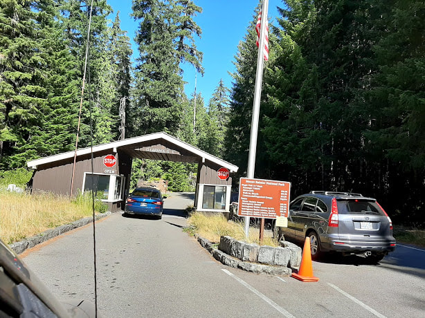
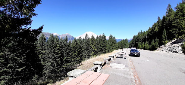
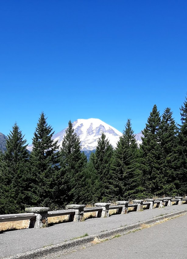
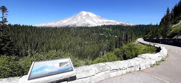
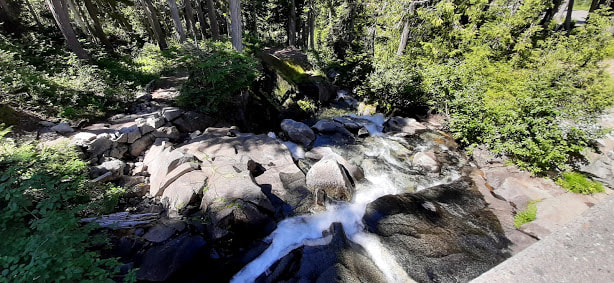
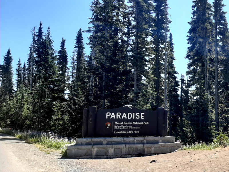
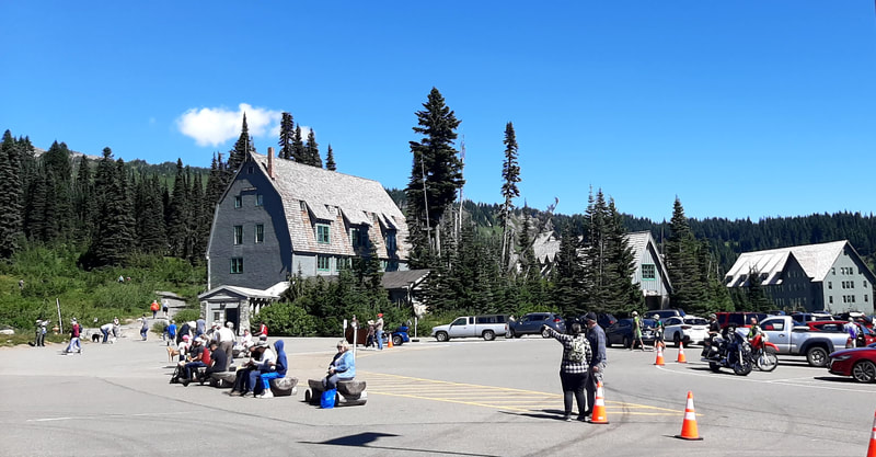
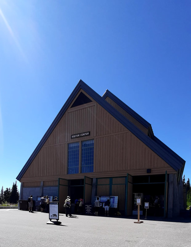
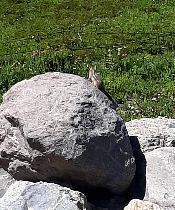
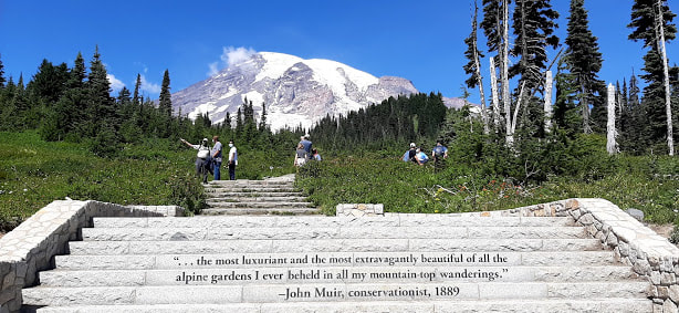
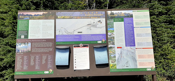
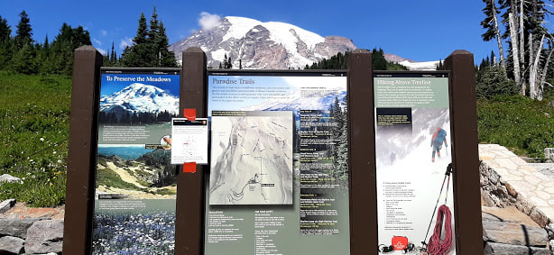
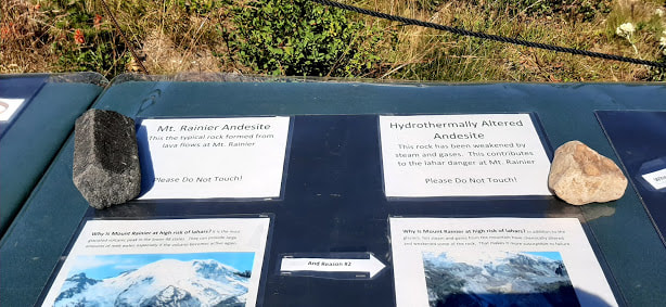
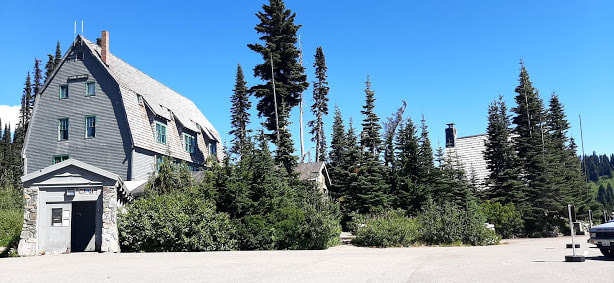
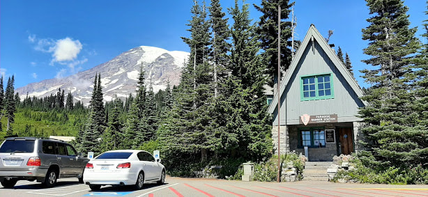
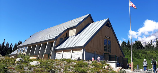
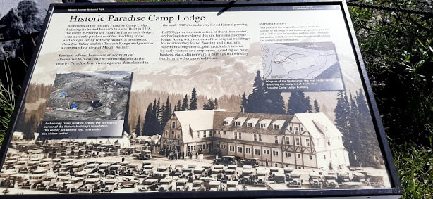
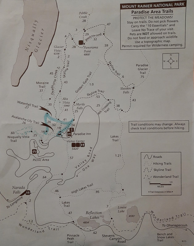
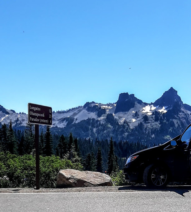
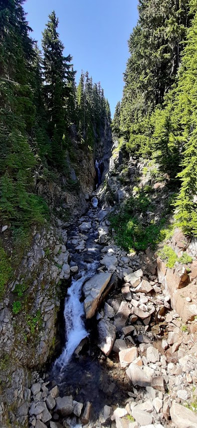
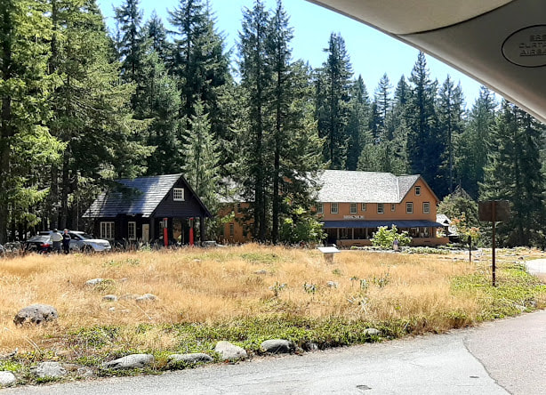
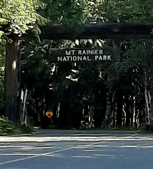
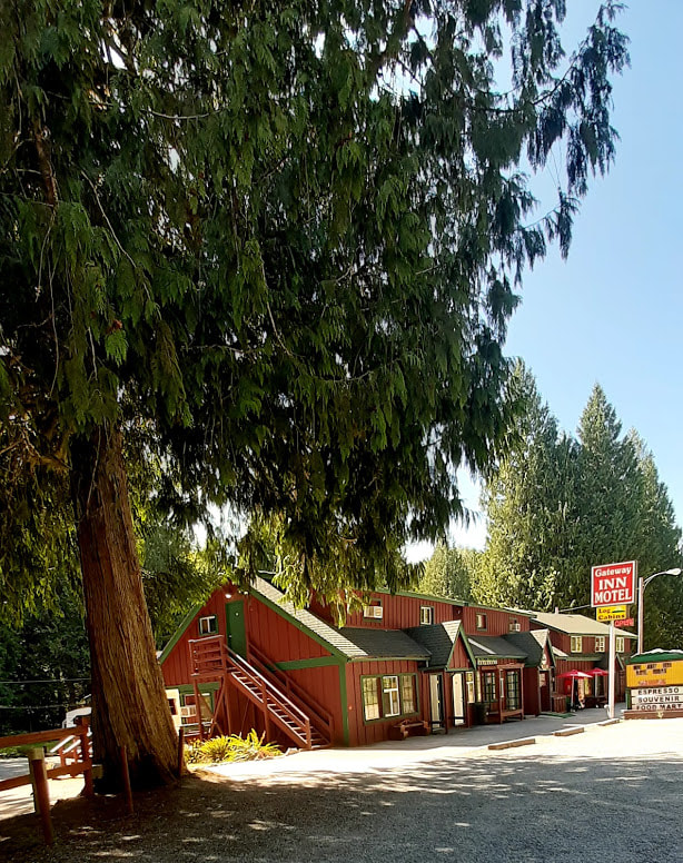
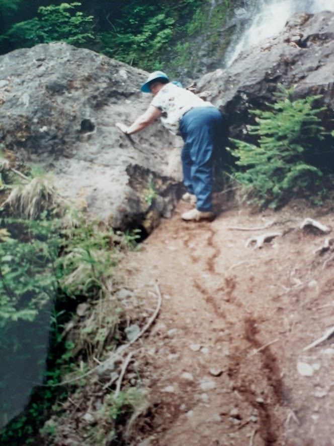
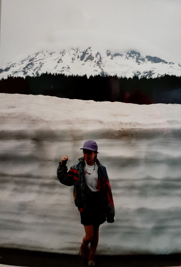
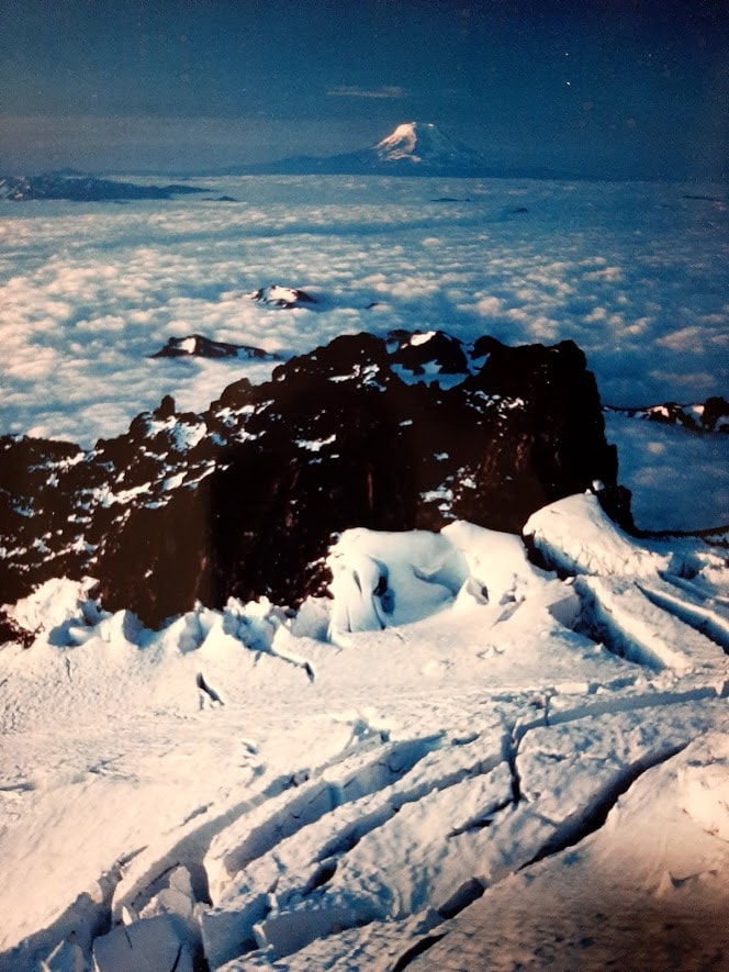
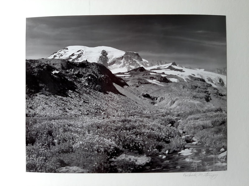
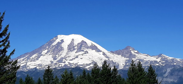
Mt. Rainier—from Stevens Canyon (SE entrance) through the park to Nisqually (SW entrance/exit) Grove of the Patriarchs—Very close to the park entrance booth is the parking lot for the Grove, without announcing that you’ve found the place. The restrooms are old and over-used. Only the vault toilet is maneuverable with a wheelchair. I was very disappointed that while they emphasize that the trail is easy, it is not for wheelchairs. I had to miss out on that classic experience. On the drive up to Paradise the scenery is absolutely awe inspiring, and there are excellent photogenic views of Rainier. You become aware how massive a mountain it is when you see it in person. I was awfully glad to be driving up from the south so that we were on the up-side of the steep mountain incline and somewhat narrow scenic route. Marvelous stonework all along the roadway, constructed by the Depression era WPA workers nearly 100 years ago, is telling of the rigors of the alpine environment. On the way down roadwork delayed us somewhat. Despite the pandemic, the parking lots at Paradise were pretty well full. We parked in a handicapped space of the additional parking lot, and my helper pushed me up to the visitor center. I didn’t want to wear out too soon. Only a booth was open of the visitor center, beside the busy restroom. My helper said the restroom was nice enough, though. There we got the information that would have been useful to have before going, while in the planning stage. Additionally, the ranger marked the most wheelchair friendly “hike” where I could see wildflowers and a glacier. Another time we will try that out. There are opportunities for learning, lunching (picnic tables), and looking. The lodge there was closed for COVID, though. I couldn’t fit everything in one photo. You can see photos, and even a link to Youtube videos at their site: https://www.nps.gov/mora/planyourvisit/paradise.htm , accessibility info at https://www.nps.gov/mora/planyourvisit/accessibility.htm Longmire sounds like it has a lot to offer, but it seemed too crowded to find easy parking when we were there, and we were tired, not wanting to get home too late. See more (including links to videos) at https://www.nps.gov/mora/planyourvisit/longmire.htm We exited the park at the Nisqually entrance at the SW corner of the park. Immediately Gateway Inn and Cabins met our view. It’s 4.3 miles from the center of Ashford WA, where more places to stay offer some choices, though not any 5-star hotels. Nisqually Lodge looks pretty good on the internet. Or, Paradise Village (hotel, restaurant, café/bakery), Alexander’s Lodge, Mountain Meadows Inn . . . Here are a couple virtual/video ways to experience or prepare to experience Mt. Rainier. And then some photos from previous years . . .
5 min video—“Mount Rainier, Sumer in 4K – National Park, Washington State – Short Preview” A montage of video scenes of Mt. Rainier including some animals, only natural sounds https://www.youtube.com/watch?v=Lkt48E34Tno&frags=wn&ab_channel=4KRelaxationChannel 13 min video—"Mt Rainier: Washington’s Highest Peak” Climbing Mt. Rainier--with commentary--Aug 5 (posted Aug 15, 2019) https://youtu.be/Y6eWmpgvl2k
0 Comments
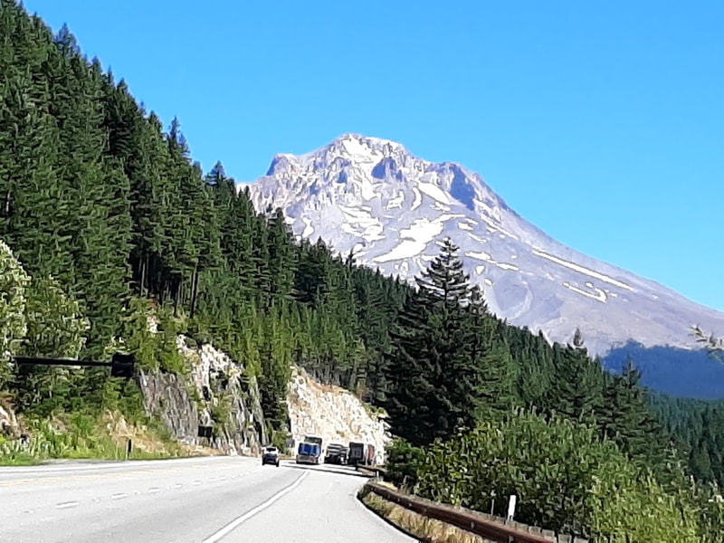
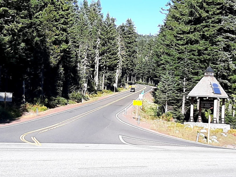
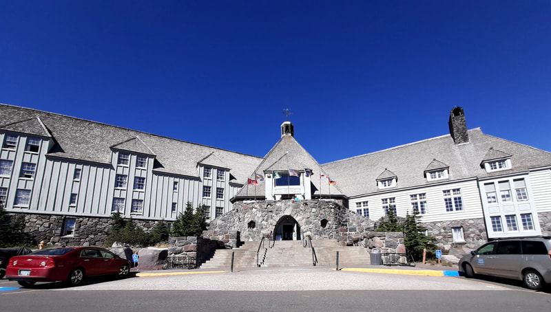
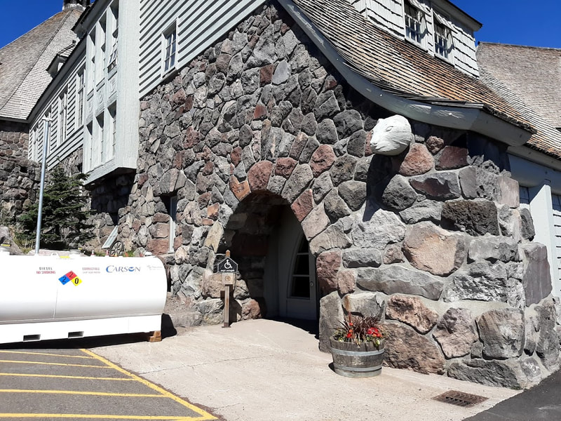
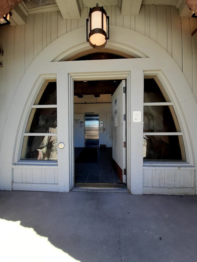
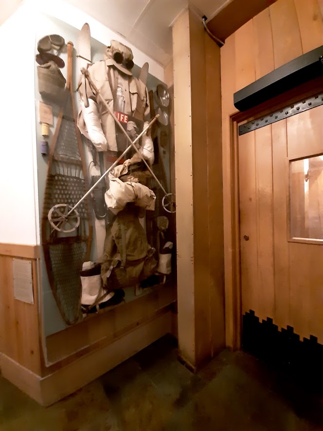
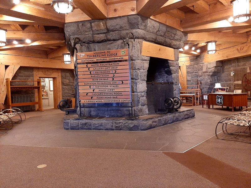
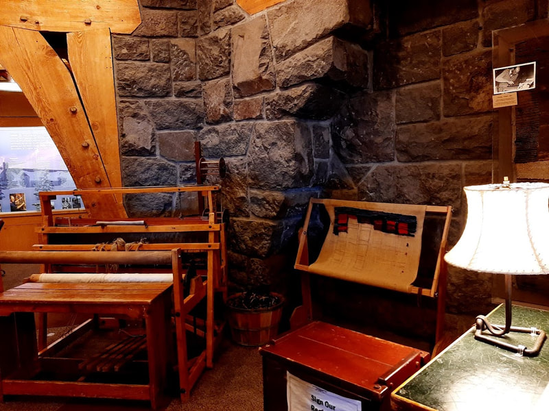
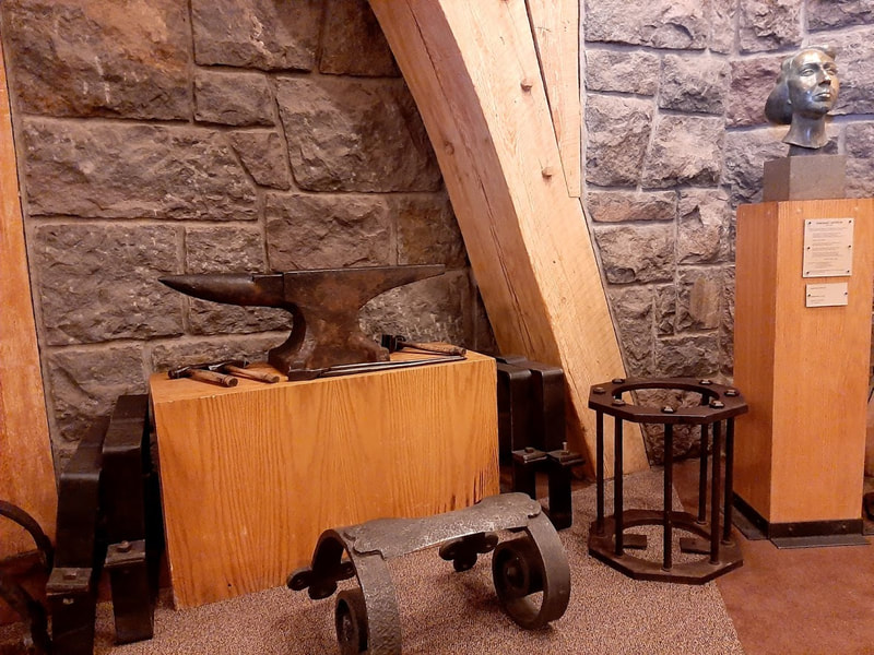
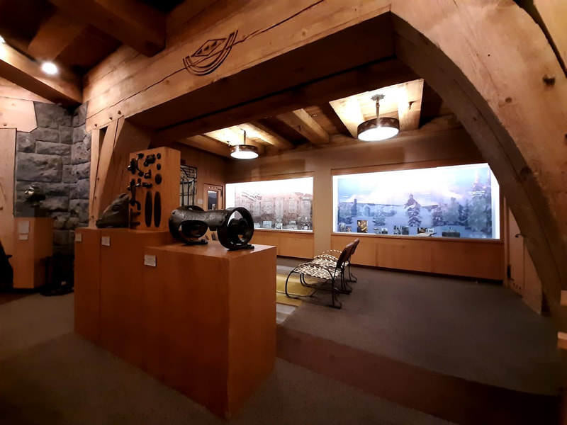
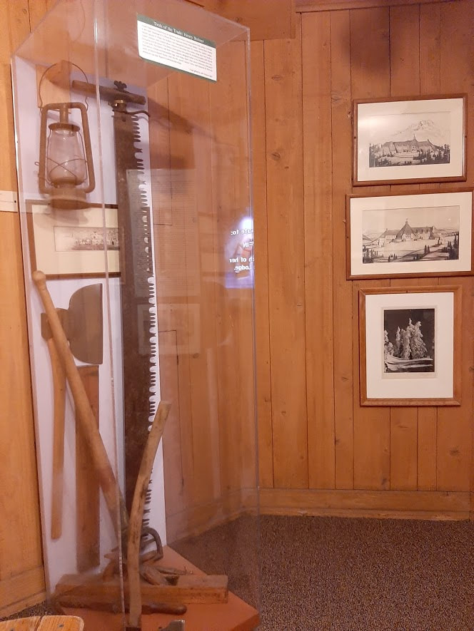
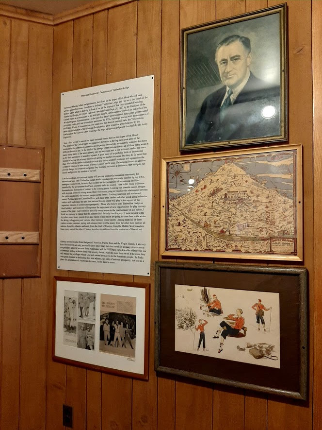
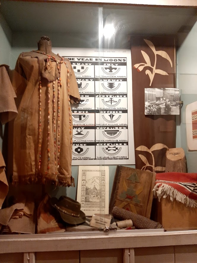
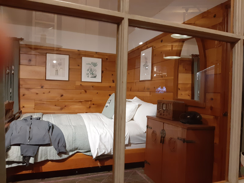
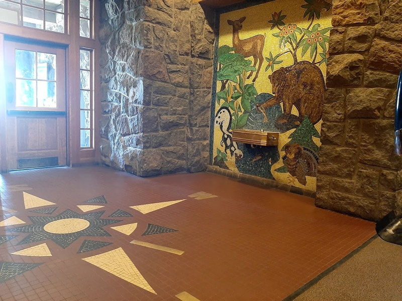
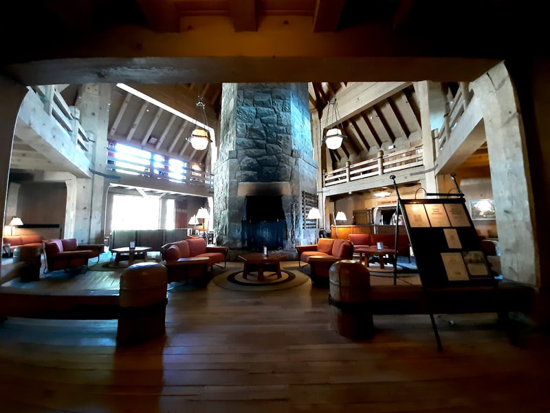
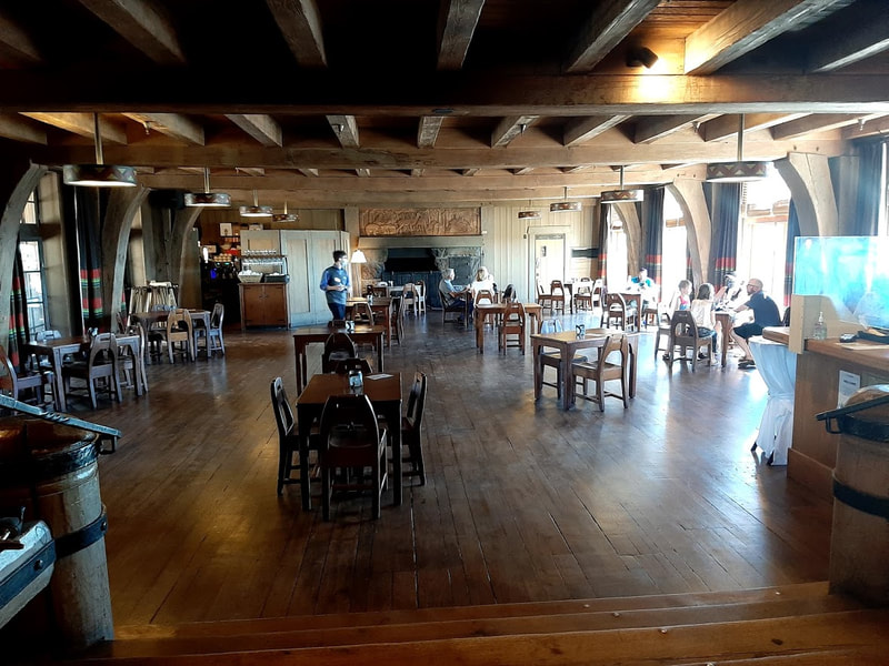
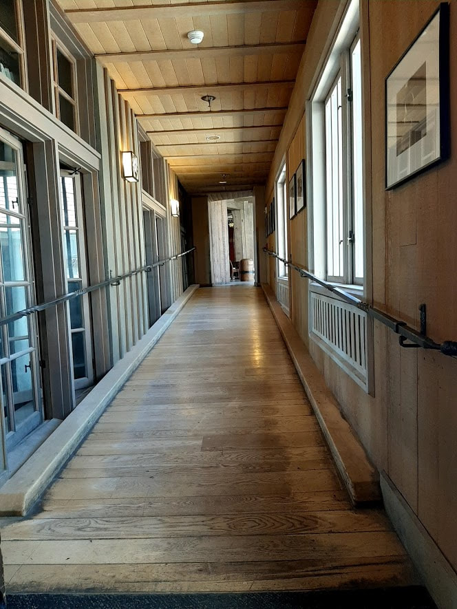
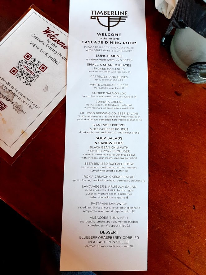
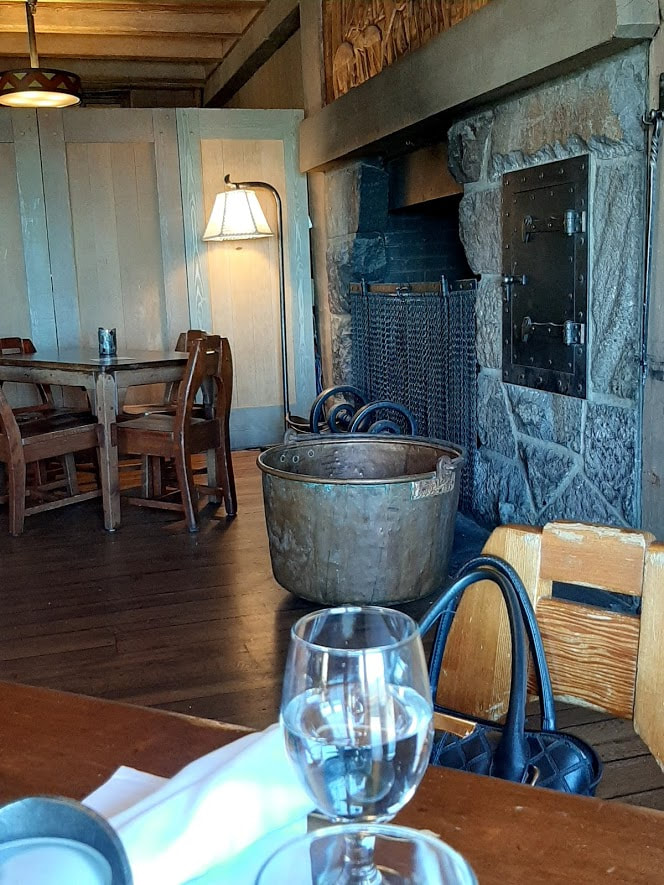
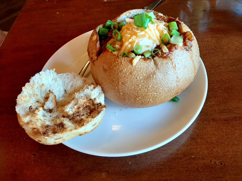
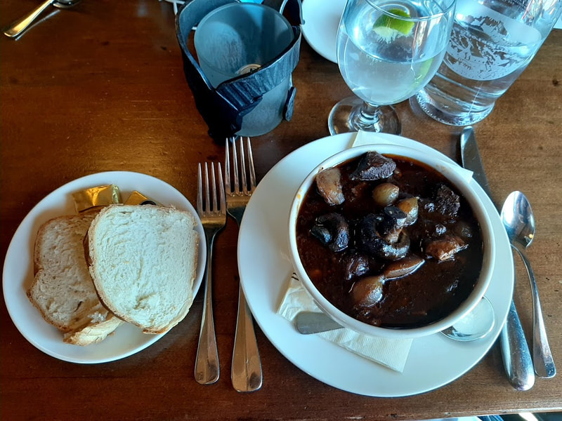
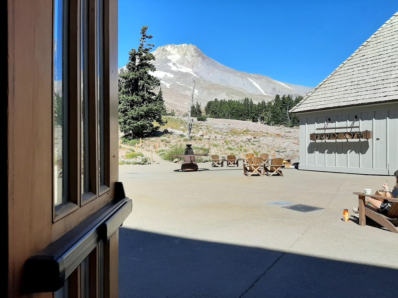
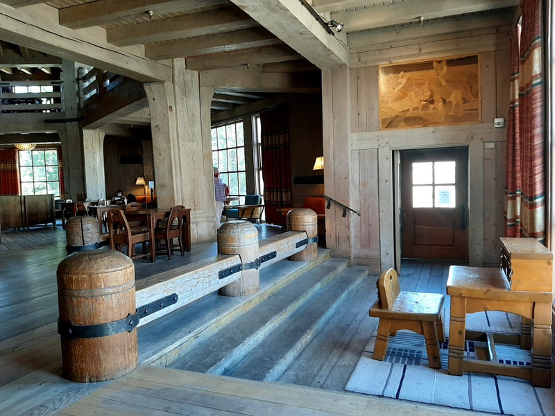
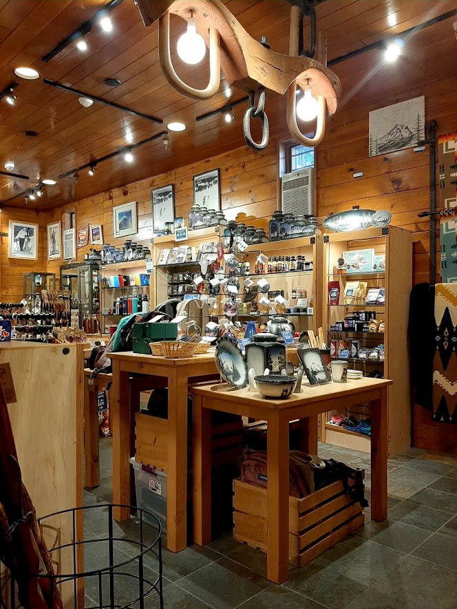
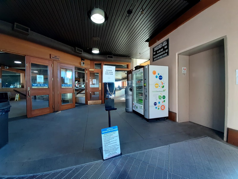
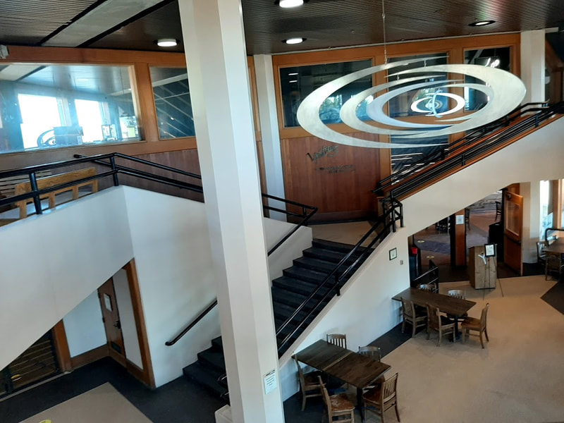
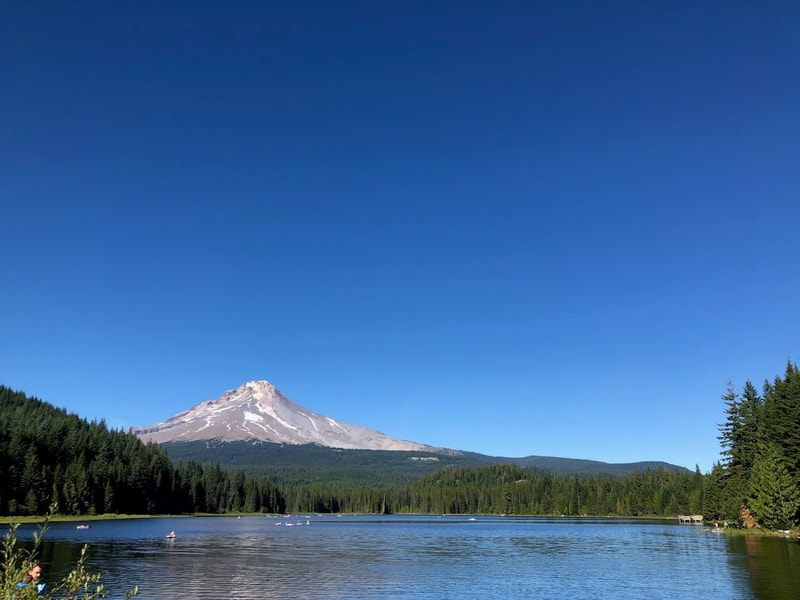
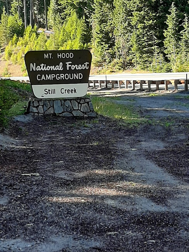
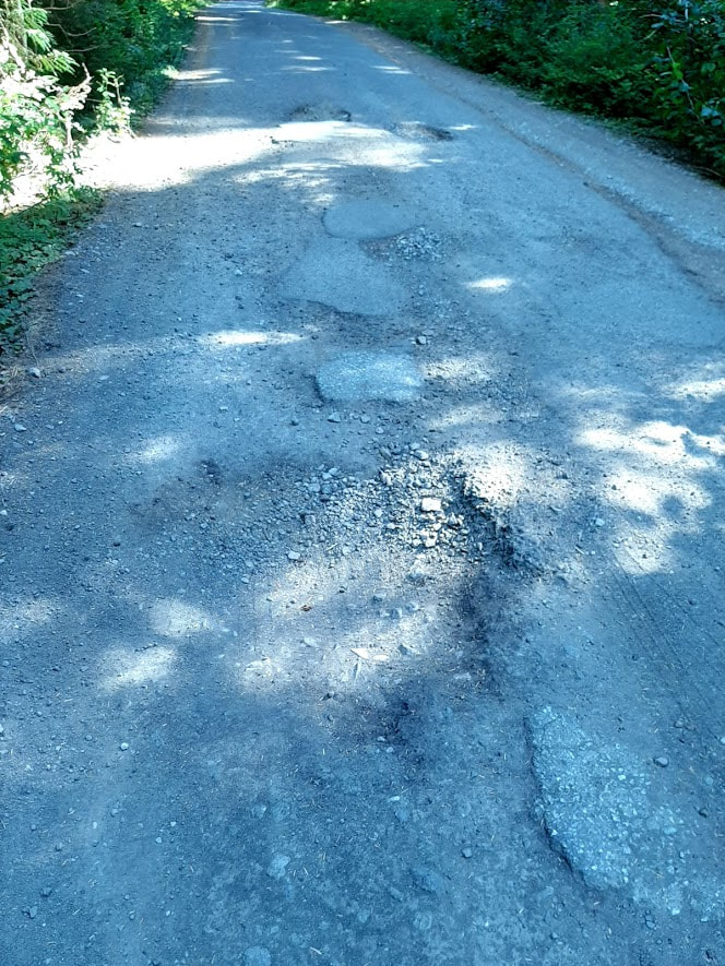
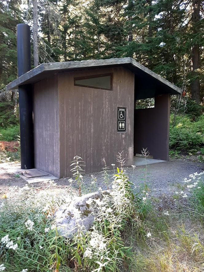
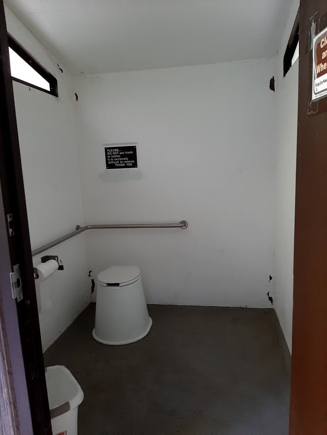
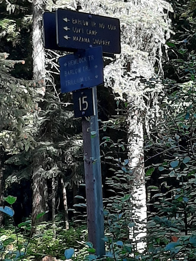
On Sept 2, 2020, starting with a luscious lunch at the top, Timberline Lodge, we explored attractions along Highway 26 coming down from the mountain. You might notice I was a bit obsessed with making a connection with the Barlow Road (Oregon Trail). Timberline Lodge Timberline Lodge is so picturesque, yet hard to take it all in one photo. A wide angle distorts, and a narrower shot leaves much out. And even with the smaller crowds of COVID-19, it’s hard to avoid having cars distract the view. But something within us makes us want to capture where we’ve been and what we admire in some way. So we take photos anyway. Timberline Lodge was built in the Great Depression under the WPA administration. It was dedicated 28 Sept 1937 by President Franklin D. Roosevelt. Much of the history of the lodge is collected in public areas, especially the lower floor. For more history, see https://www.timberlinelodge.com/about-us/history and https://en.wikipedia.org/wiki/Timberline_Lodge The magnificent entry to the Lodge is not wheelchair accessible. Although there are handicapped parking spots there, the handicapped entrance is the archway on the right end of the building. A couple of handicapped parking spots there have a level, unblocked way to the handicapped door. As you make your way to the elevator up to the main level, you’ll pass by many windows on the history of the lodge. The great fireplace structure is a hexagon with 3 fireplaces each on the lower and main floors. The décor is homey, rustic, uniquely built just for this lodge, including Native American motifs. More info at https://www.seattletimes.com/life/outdoors/timberline-lodge-marvel-of-wpa/#:~:text=Common%20areas%20are%20the% We had lunch in the Cascade Dining Room, which had spaced the tables apart to accommodate the social distancing of COVID-19. There are steps down to the dining room, but around the corner is a ramp. The staff was friendly and helpful. I had the Beer Braised Buffalo Stew, which doesn’t have buffalo or bison, and my friend had the Black Bean Chili with Smoked Pork Shoulder. Both were delicious. Figure $20 for lunch entrees, limited choices. We wandered about the Lodge and gift shop, then briefly looked around the Wy’East Day Lodge across the parking lot. The Wy’East Café menu looks interesting. More info about food options at Mt. Hood http://www.timberlinelodge.com/lodge/dining#wy_east Trillium Lake—a little east of the road to Timberline, off Hwy 26 Trillium Lake is a pretty little spot with Mt. Hood as the backdrop. It’s popular as a place to be cool when it’s hot. From Timberline, return to Hwy 26, and turn east for 1.5 miles, then take the road to Trillium Lake south for 1.6 miles. Vault toilets across from the lake had a wheelchair symbol, but I didn’t get out to check them. I’m thinking they might possibly be similar to Still Creek Campground facilities. It’s a rather rough road that goes around lake and joins Still Creek Campground (which is easier to reach from Hwy 26). Two signs at either end of a loop in Still Creek said the Barlow Road of the Oregon Trail passes through. We saw signs pointing toward each other, but could not see sign of where the Barlow went between them. Likewise, you have to know where to find the Meadows . . . some rough roads take off from road between Trillium and Still Creek, but I was cautious of taking roads I didn’t know where they led and for how long. Here are a couple sites with more info about Trillium Lake
Excellent videos by John Williams’ Accessible Adventures series, these start from Hood River, and travel west and along Highway 26 Continue east on Hwy 26 for the turn-offs to Frog Lake Day Use area, Clear Lake Campground, Little Crater Lake, and Timothy Lake (Timothy Lake is about 25 miles/42 min from Timberline Lodge according to Google).
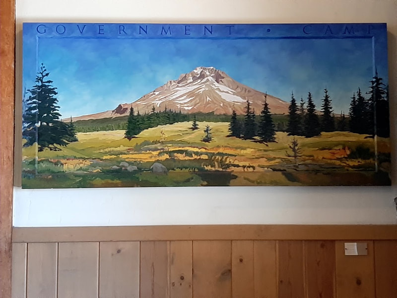
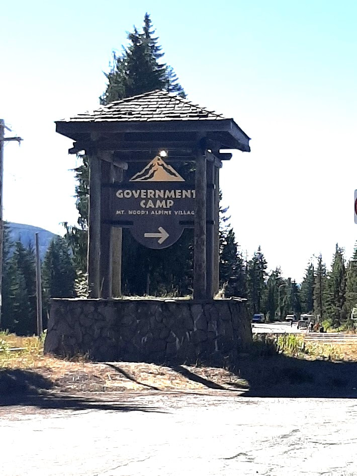
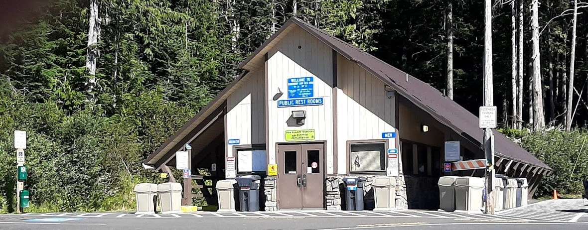
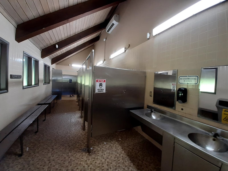
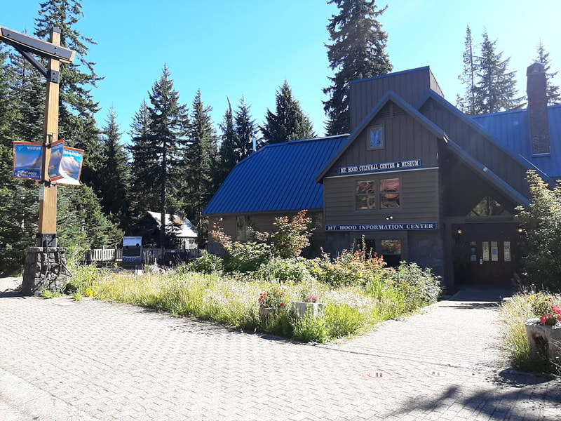
Government Camp—not far west of the road up to Timberline of Hwy 26 Quaint touristy ski town not far to the west of the road up to Timberline Lodge. At the Government Camp exit from Hwy 26 is a public restroom with a handicapped stall. Along the main street you’ll find the Mt. Hood Cultural Center & Museum. It’s closed Mon & Tues, and at 3pm other days. We just missed it. ☹
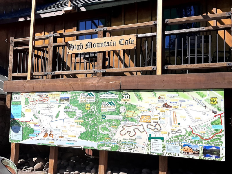
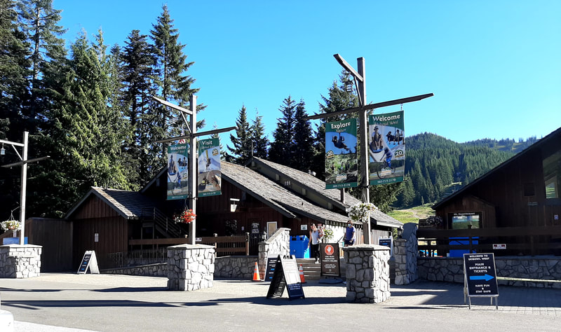
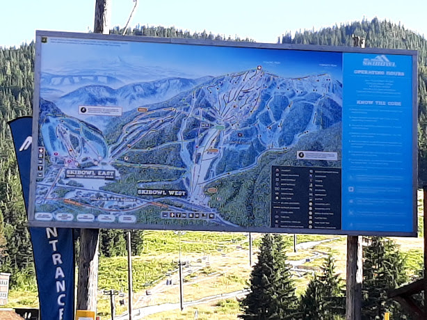
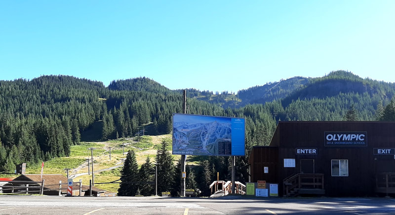
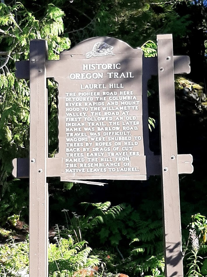
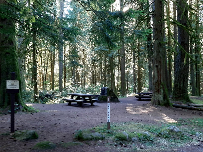
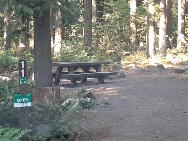
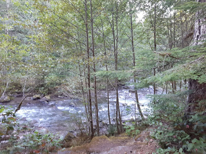
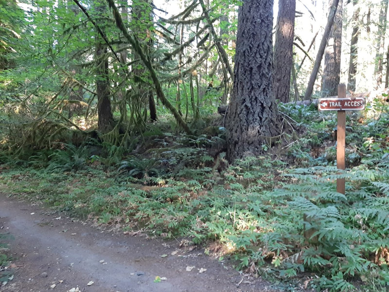
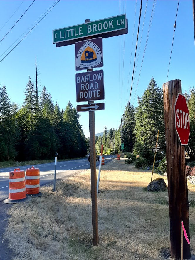
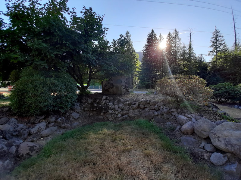
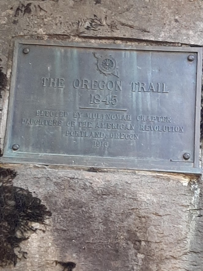
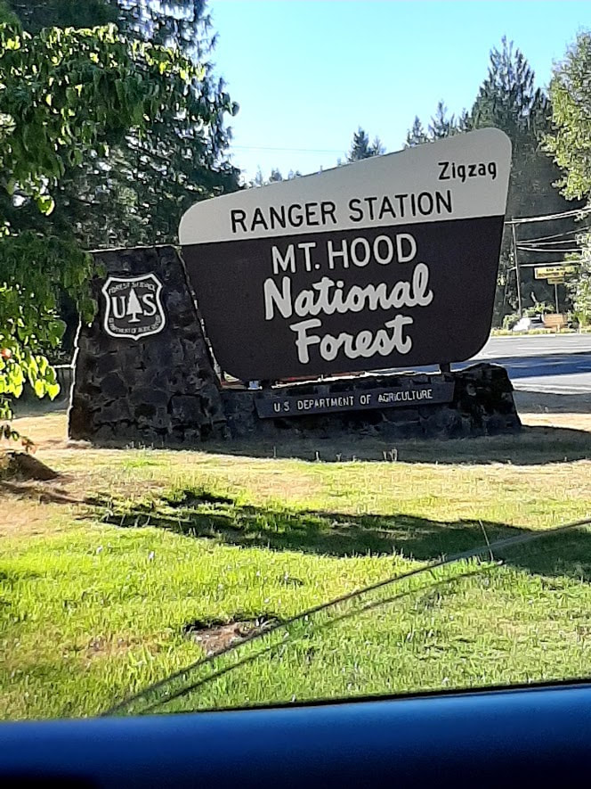
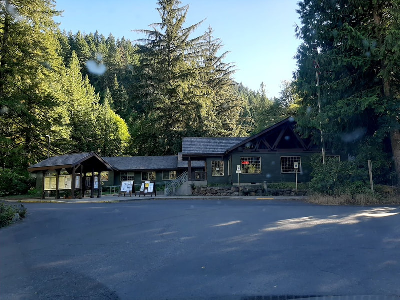
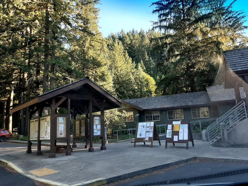
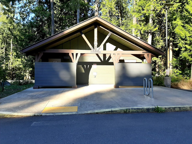
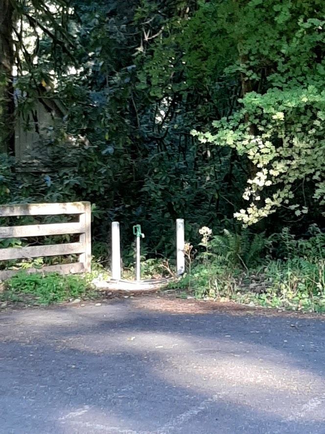
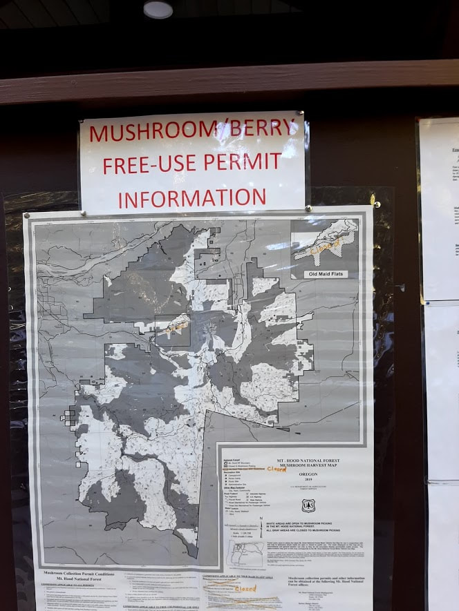
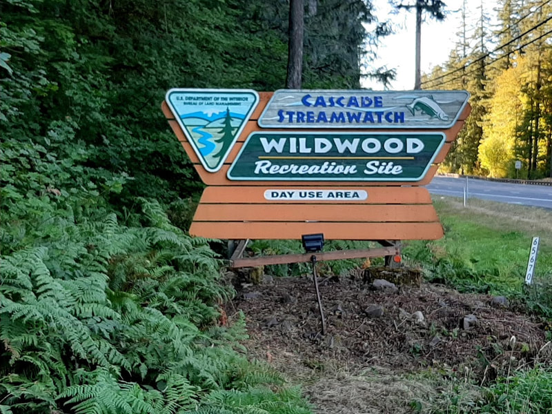
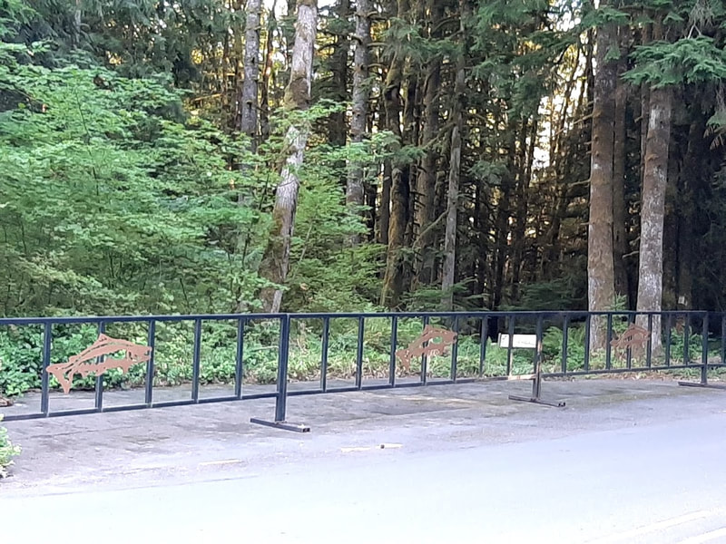
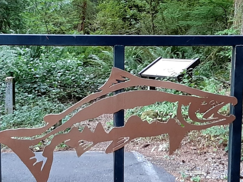
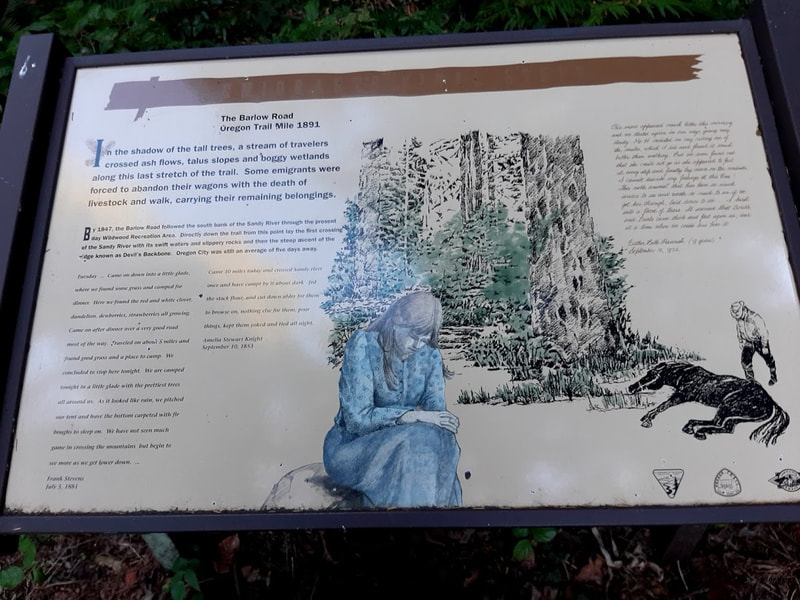
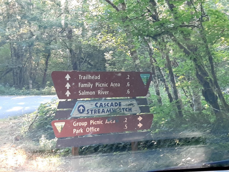
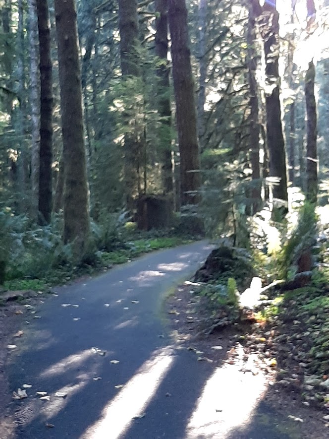
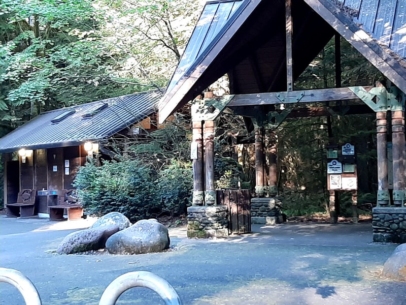
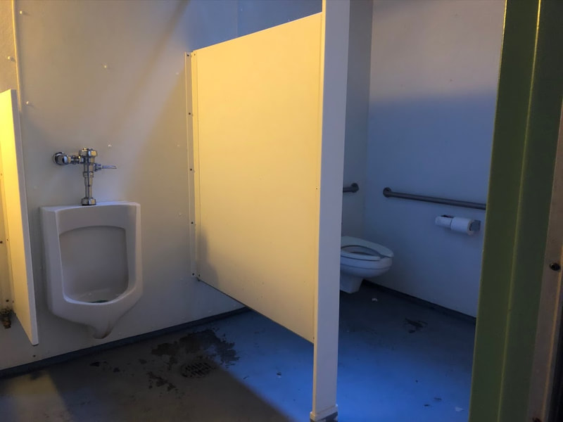
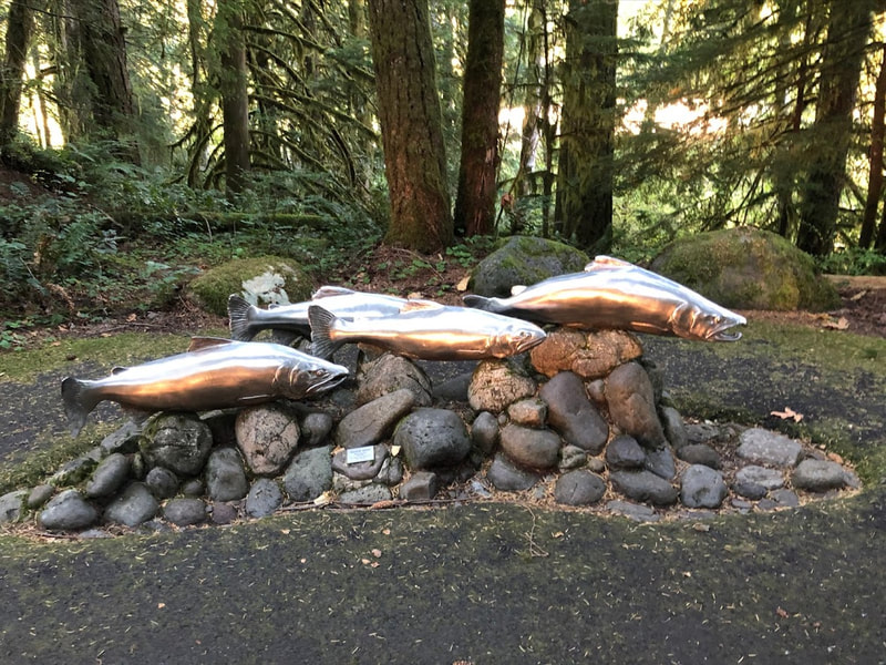
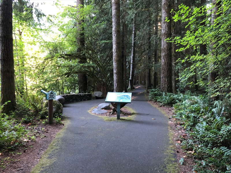
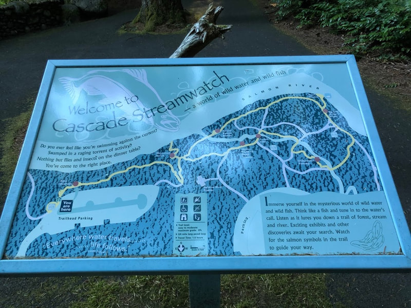
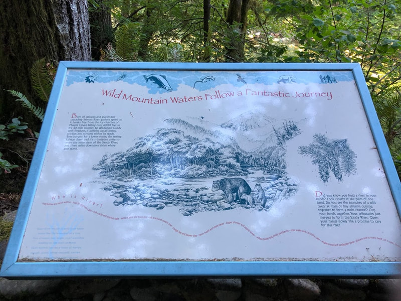
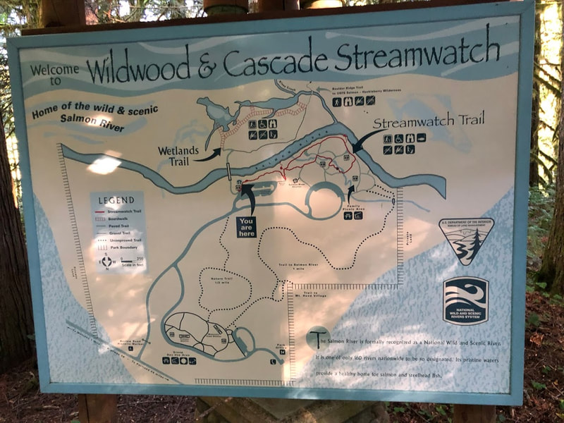
Skibowl—across from Government Camp western connection with Hwy 26 For summer travelers, the Skibowl concession offers 20+ activities, some are across Highway 26 at the East Action Park. During COVID you have to buy your tickets online ahead of time. When I called to enquire they said they are accessible, but I’m not sure how many of the activities or areas are wheelchair friendly. Still looks like a lot of fun for the young, http://skibowl.com/summer Laurel Hill—Barlow Road (Oregon Trail) marker only accessible going east, uphill, between mileposts 44 and 45. There’s a little space to pull off the road to read the historic marker. Evidence of people hiking to find the Barlow was up a very steep hill, very inaccessible. But the historic marker is worth reading. https://www.hmdb.org/m.asp?m=112372 Tollgate Day Use and Camping—9 mi west of Government Camp, Hwy 26 Great old fireplaces in the day use area are treasures. It’s a wonderful shady forested place for when it’s hot. $5 day use, as usual. It looks like from there you can access trails to the Barlow Road (Oregon Trail). Campsites on the Zigzag River are prettily placed. There’s a handicapped campsite not far from 2 accessible vault toilets. https://www.fs.usda.gov/recarea/mthood/recarea/?recid=5351 Rhododendron OR—just west of Tollgate Day Use and Campground Watch for the sign for E. Little Brook Lane, and the Barlow Road marker, west end of town. The little monument is right there off Hwy 26. It’s historic in its own right, erected 1916. https://www.hmdb.org/m.asp?m=112340 Zigzag FS Ranger Station—2 miles west of Rhododendron on Hwy 26 This ranger station is a beautiful classic bit of architecture. It was closed when we were there, as well as the accessible restroom building. But there are lots of informative outdoor displays. There’s an outdoor water faucet off the parking lot. Apparently huckleberry pickers and mushroom gatherers take a trail from there—walkers only. Warning about bears (who also love huckleberries) and other wild animals. If you need info about the area on the west side of Mt. Hood, these would be the guys to call. https://www.fs.usda.gov/recarea/mthood/recarea/?recid=5277 Wildwood Recreation Site—2.4 miles west of Zigzag Ranger Station What a cool place for hot days! This has accessible restrooms, paved interpretive trails, Cascade Streamwatch Trail, picnicking . . . right at the entrance, behind a fish art gate is an inconspicuous marker for the Barlow Road. For more info see https://www.blm.gov/visit/wildwood-recreation-site and https://www.recreation.gov/camping/campgrounds/23407 Sandy, OR—about 15 miles west of Wildwood
Sandy is an appealing little city. I look forward to visiting the Sandy Historical Society Museum, “on Pioneer Boulevard, a part of the original Barlow Road,” and the Philip Foster Farm on the Oregon Trail only 6 miles southwest of Sandy, next year when I hope to publish an Oregon Trail post. Maybe I'll see you in the 'hood.
|
Wheelchair WomanI've been in a wheelchair for 30+ years. It poses some challenges for traveling. Maybe others can benefit from my experiences. Archives
June 2024
Categories
All
|






 RSS Feed