|
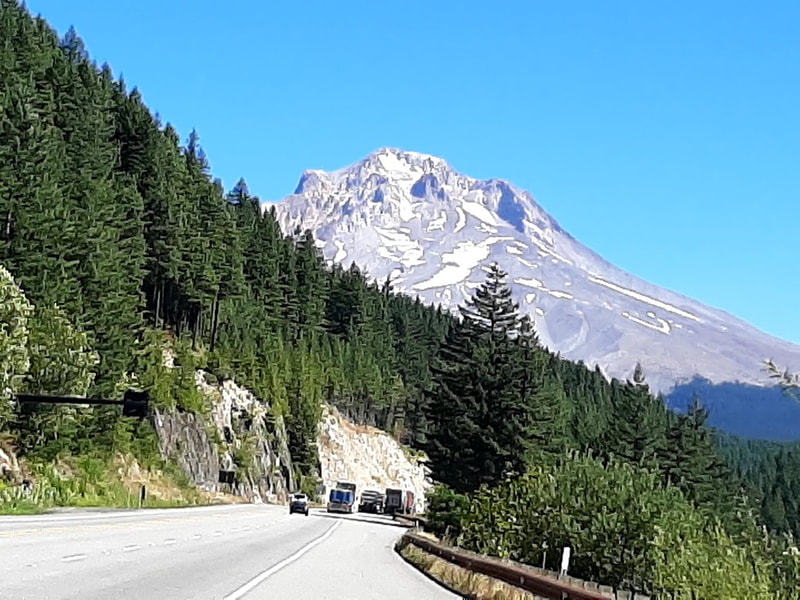
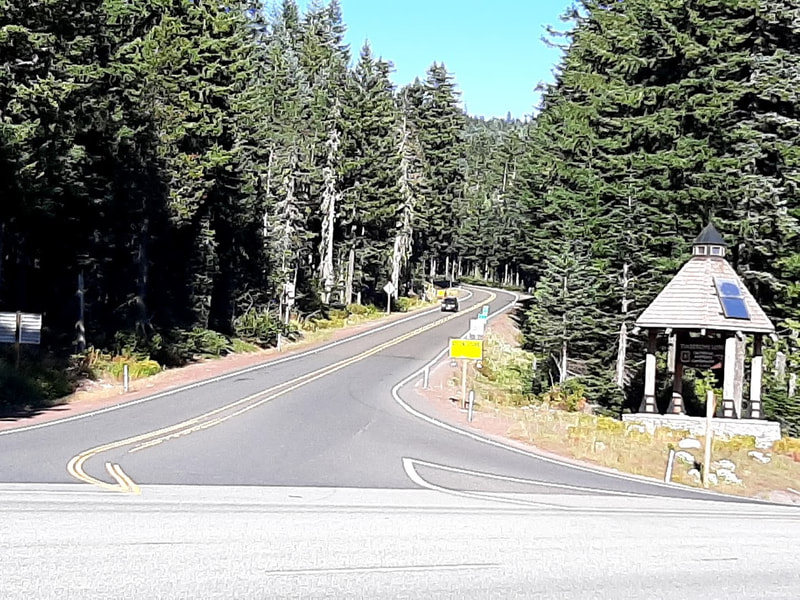
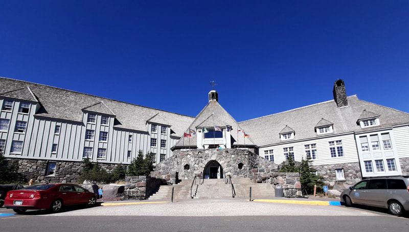
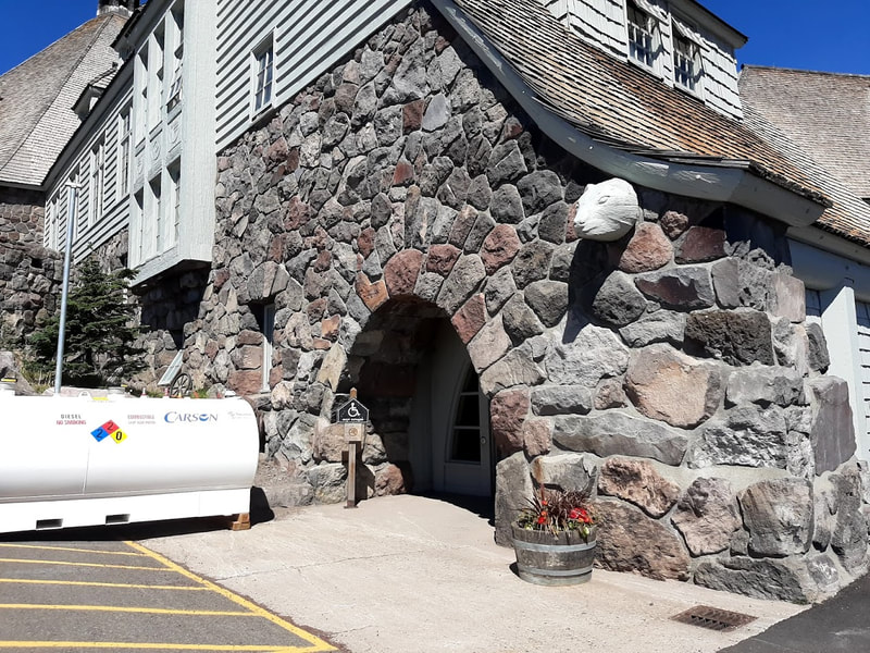
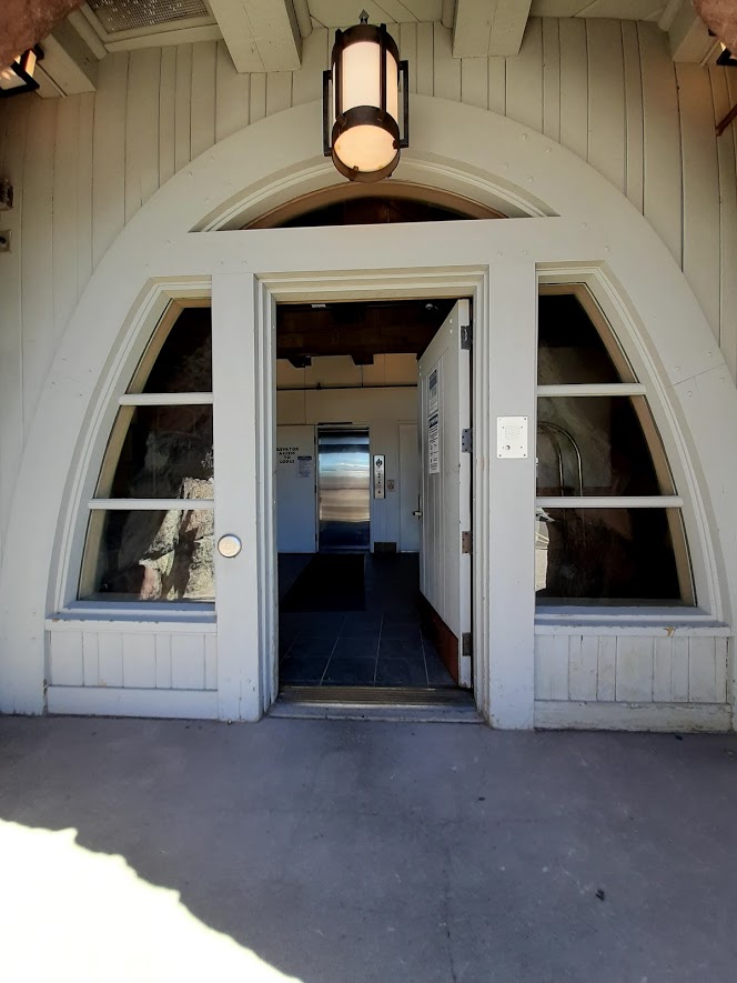
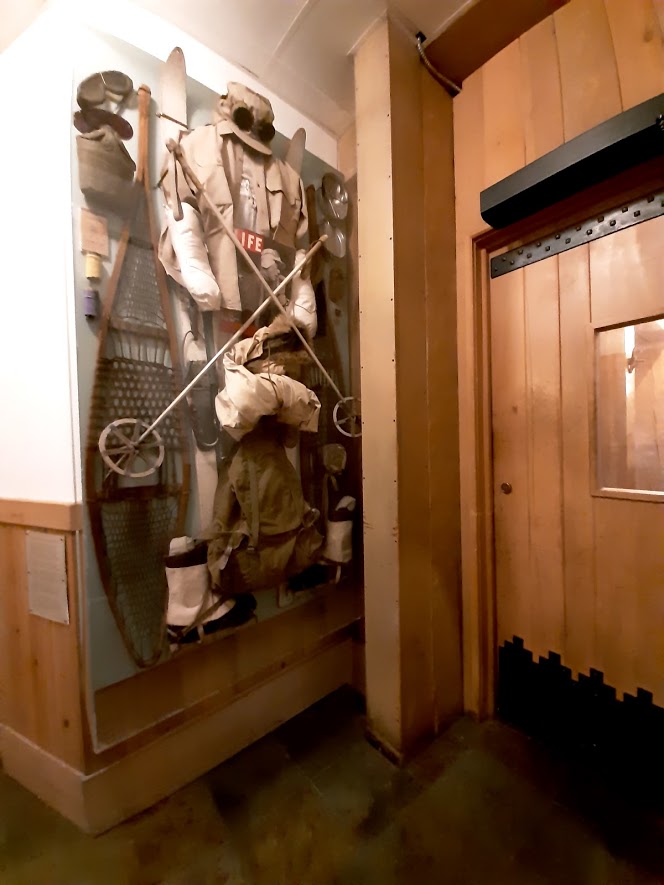
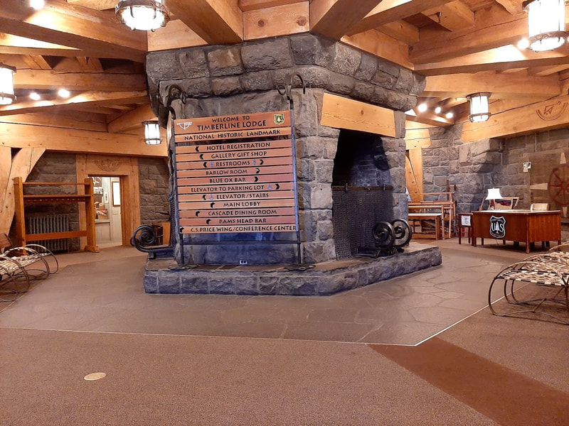
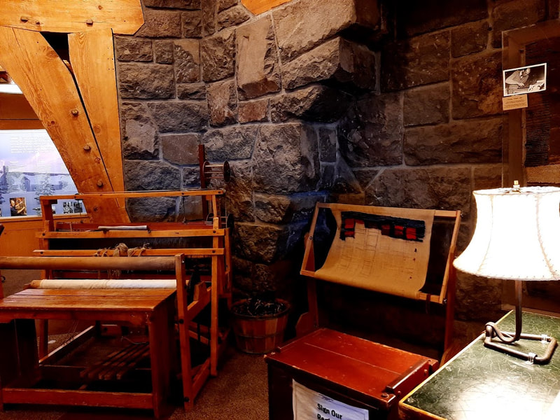
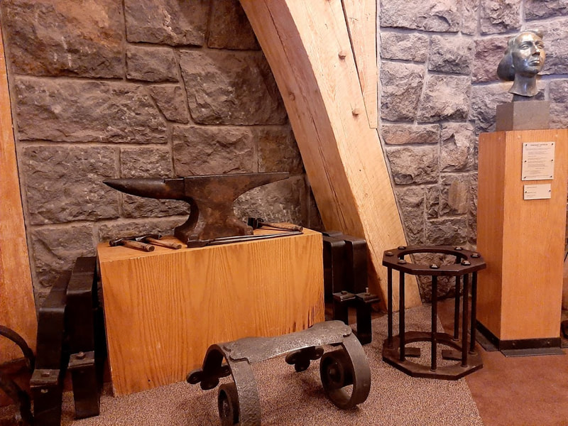
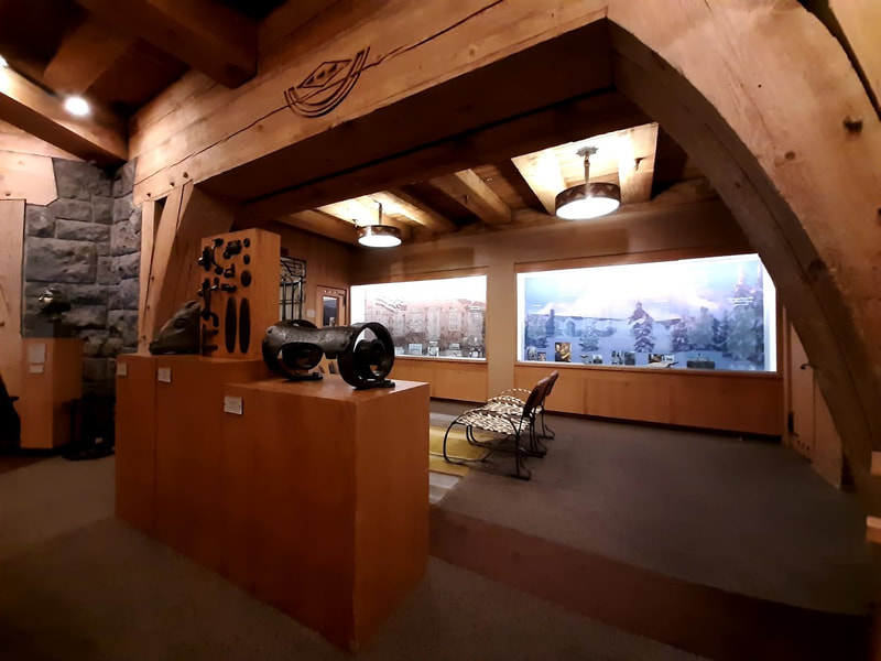
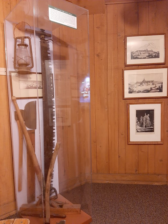
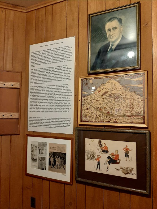
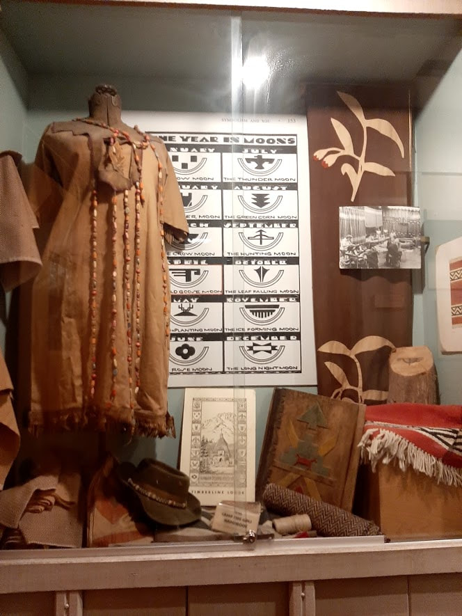
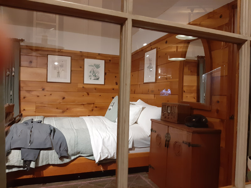
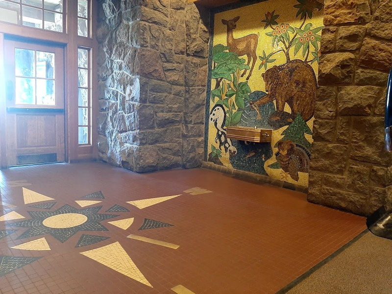
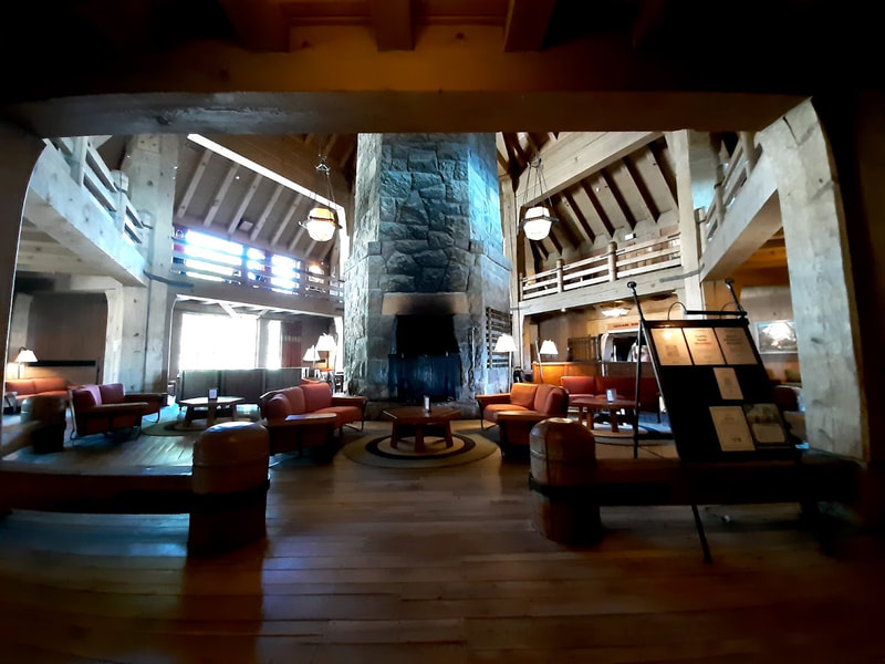
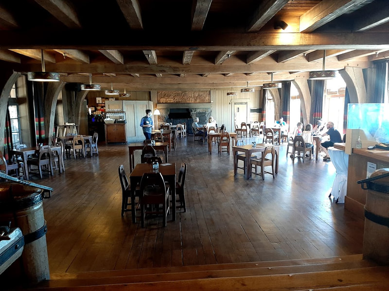
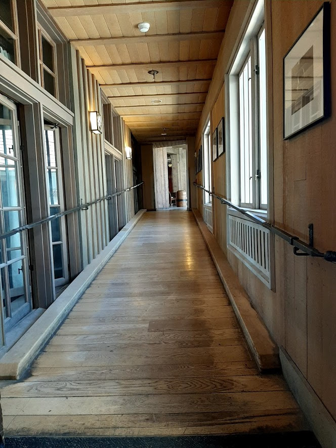
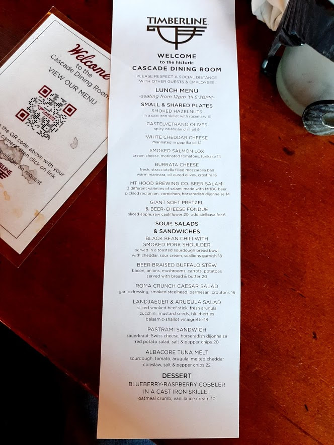
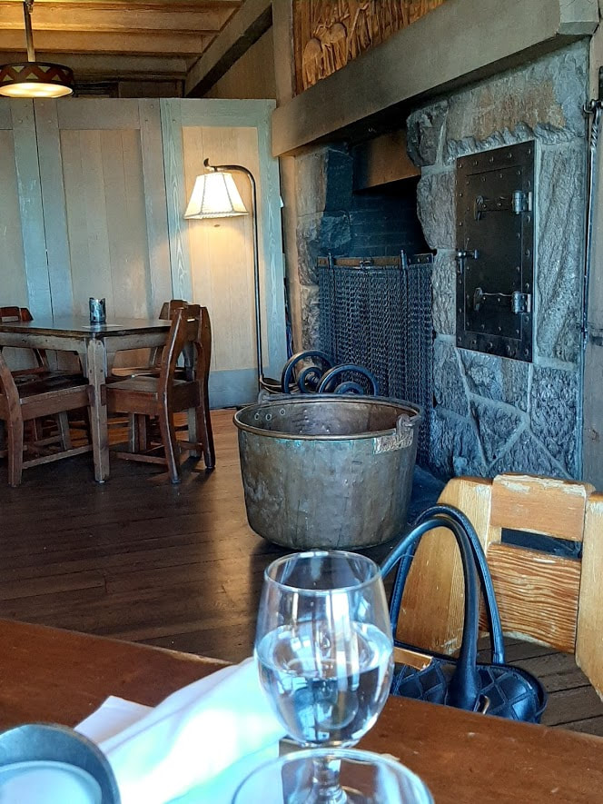
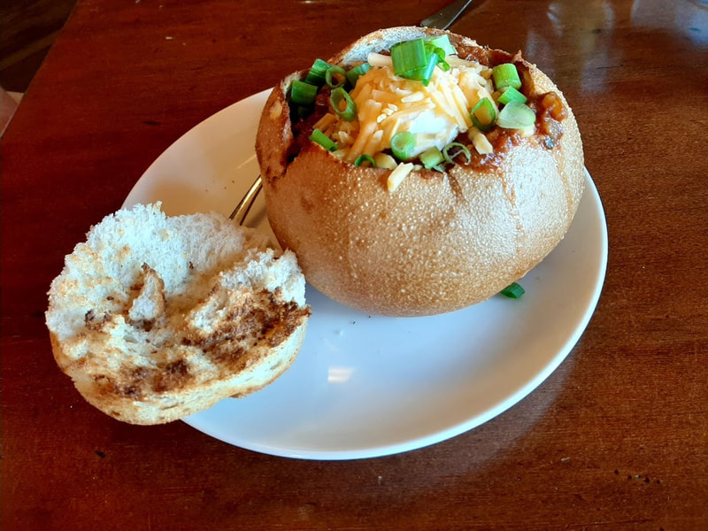
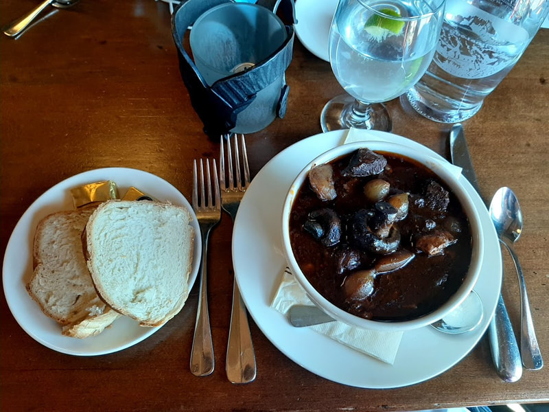
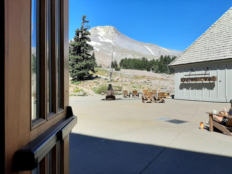
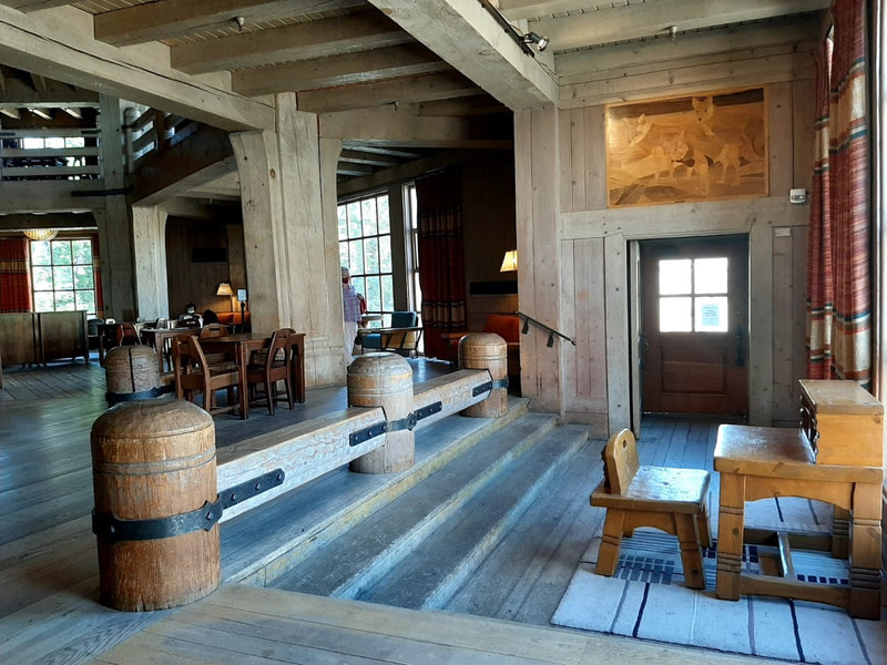
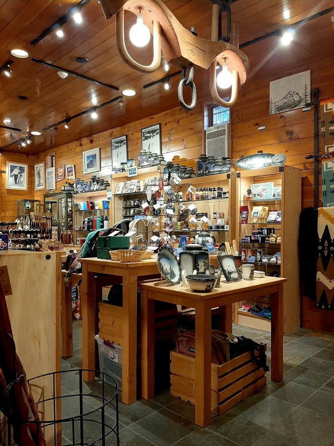
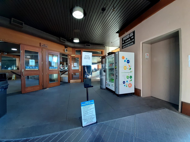
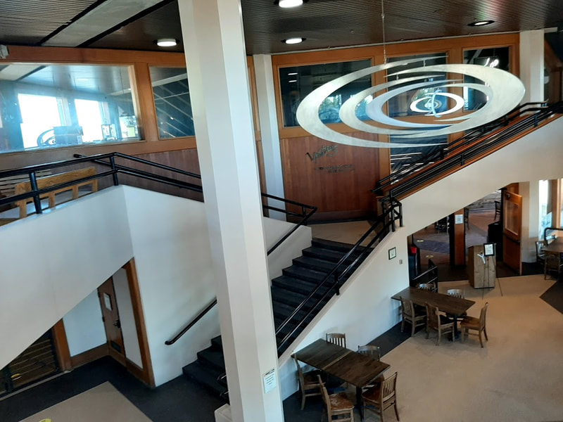
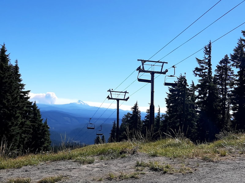
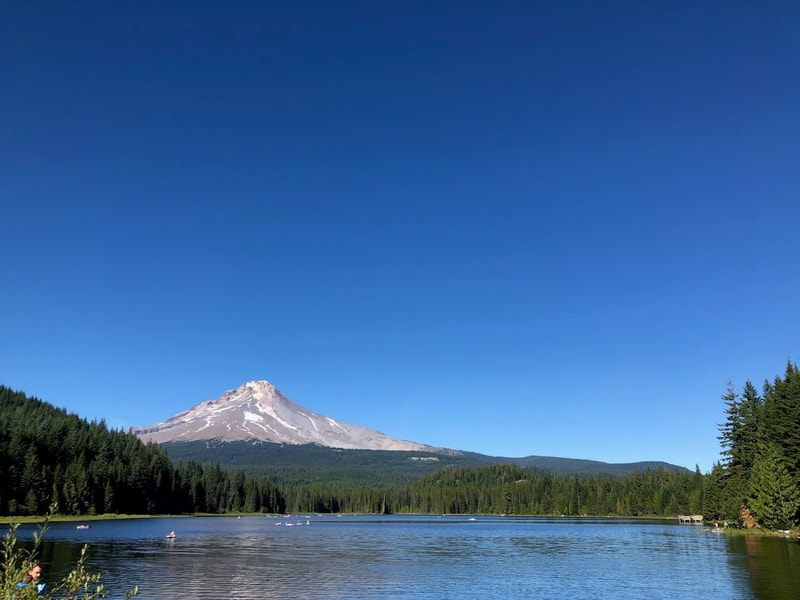
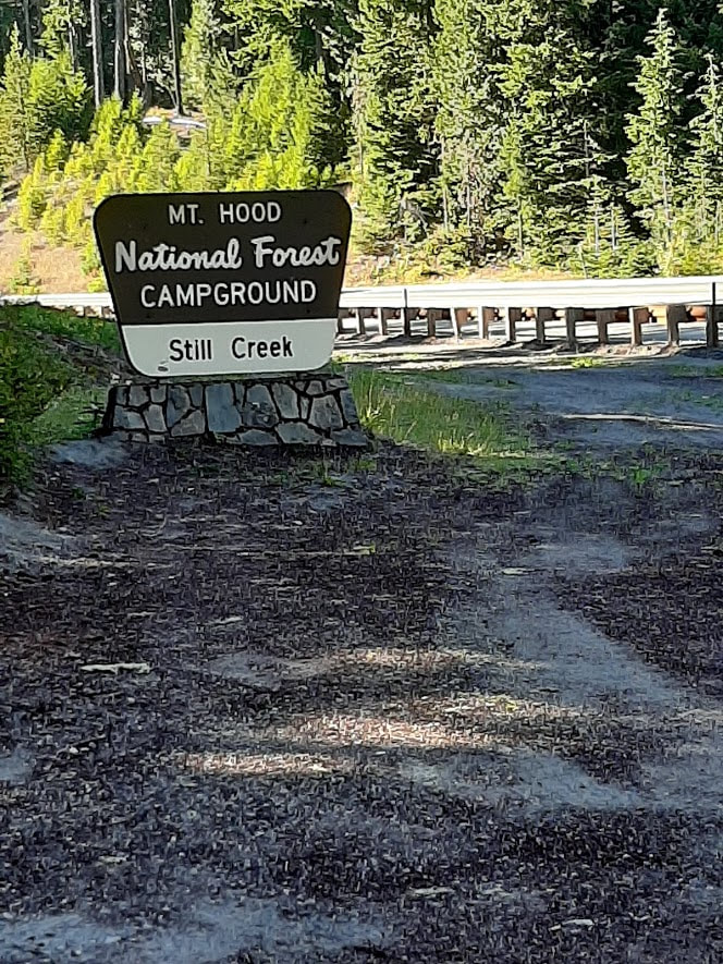
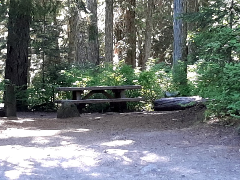
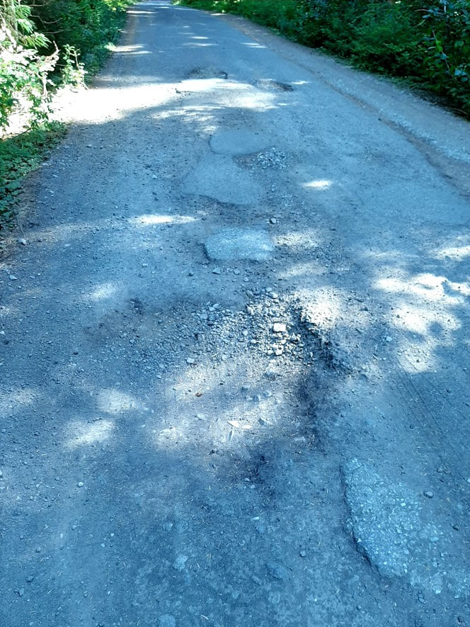
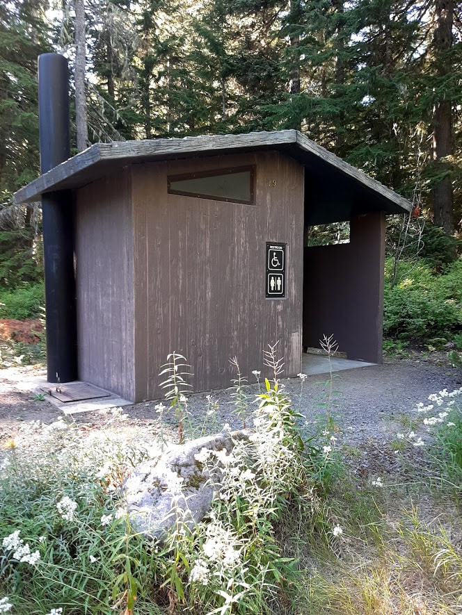
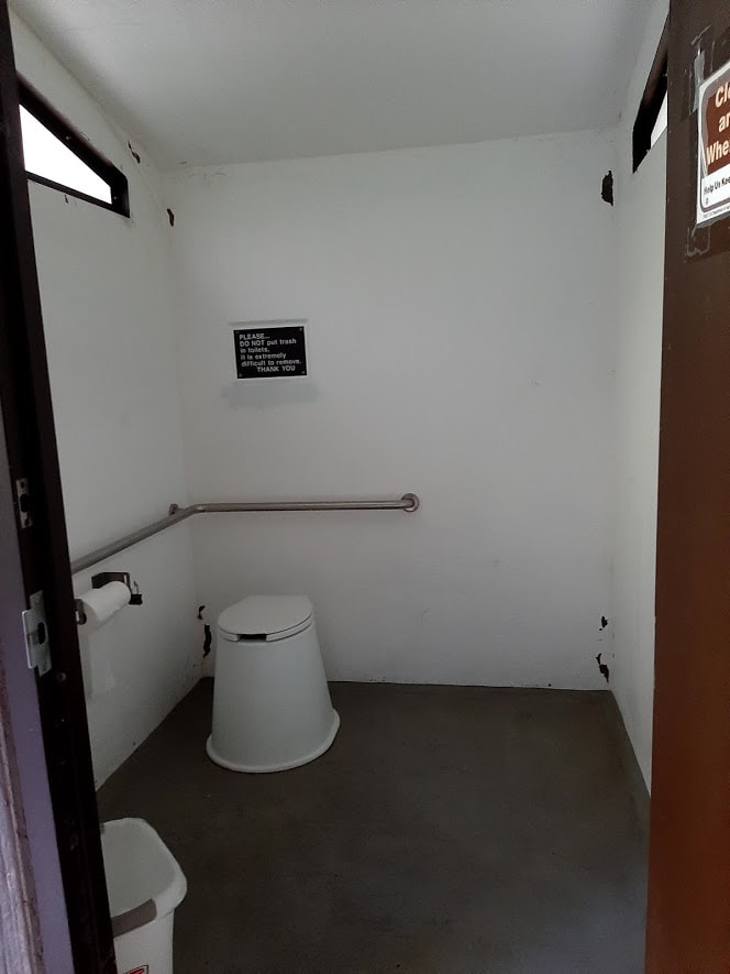
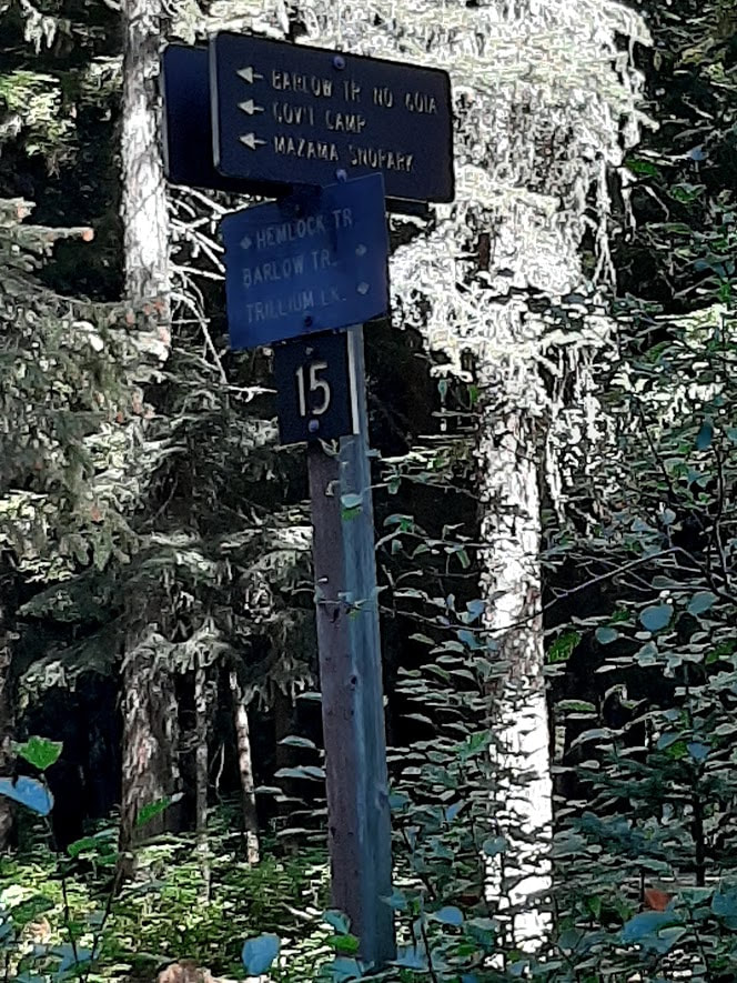
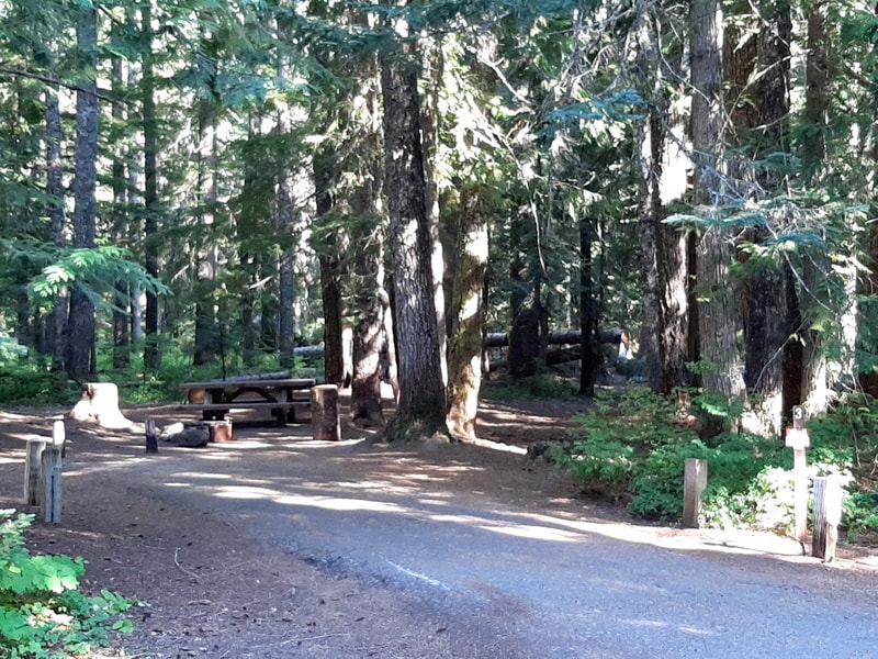
On Sept 2, 2020, starting with a luscious lunch at the top, Timberline Lodge, we explored attractions along Highway 26 coming down from the mountain. You might notice I was a bit obsessed with making a connection with the Barlow Road (Oregon Trail). Timberline Lodge Timberline Lodge is so picturesque, yet hard to take it all in one photo. A wide angle distorts, and a narrower shot leaves much out. And even with the smaller crowds of COVID-19, it’s hard to avoid having cars distract the view. But something within us makes us want to capture where we’ve been and what we admire in some way. So we take photos anyway. Timberline Lodge was built in the Great Depression under the WPA administration. It was dedicated 28 Sept 1937 by President Franklin D. Roosevelt. Much of the history of the lodge is collected in public areas, especially the lower floor. For more history, see https://www.timberlinelodge.com/about-us/history and https://en.wikipedia.org/wiki/Timberline_Lodge The magnificent entry to the Lodge is not wheelchair accessible. Although there are handicapped parking spots there, the handicapped entrance is the archway on the right end of the building. A couple of handicapped parking spots there have a level, unblocked way to the handicapped door. As you make your way to the elevator up to the main level, you’ll pass by many windows on the history of the lodge. The great fireplace structure is a hexagon with 3 fireplaces each on the lower and main floors. The décor is homey, rustic, uniquely built just for this lodge, including Native American motifs. More info at https://www.seattletimes.com/life/outdoors/timberline-lodge-marvel-of-wpa/#:~:text=Common%20areas%20are%20the% We had lunch in the Cascade Dining Room, which had spaced the tables apart to accommodate the social distancing of COVID-19. There are steps down to the dining room, but around the corner is a ramp. The staff was friendly and helpful. I had the Beer Braised Buffalo Stew, which doesn’t have buffalo or bison, and my friend had the Black Bean Chili with Smoked Pork Shoulder. Both were delicious. Figure $20 for lunch entrees, limited choices. We wandered about the Lodge and gift shop, then briefly looked around the Wy’East Day Lodge across the parking lot. The Wy’East Café menu looks interesting. More info about food options at Mt. Hood http://www.timberlinelodge.com/lodge/dining#wy_east Trillium Lake—a little east of the road to Timberline, off Hwy 26 Trillium Lake is a pretty little spot with Mt. Hood as the backdrop. It’s popular as a place to be cool when it’s hot. From Timberline, return to Hwy 26, and turn east for 1.5 miles, then take the road to Trillium Lake south for 1.6 miles. Vault toilets across from the lake had a wheelchair symbol, but I didn’t get out to check them. I’m thinking they might possibly be similar to Still Creek Campground facilities. It’s a rather rough road that goes around lake and joins Still Creek Campground (which is easier to reach from Hwy 26). Two signs at either end of a loop in Still Creek said the Barlow Road of the Oregon Trail passes through. We saw signs pointing toward each other, but could not see sign of where the Barlow went between them. Likewise, you have to know where to find the Meadows . . . some rough roads take off from road between Trillium and Still Creek, but I was cautious of taking roads I didn’t know where they led and for how long. Here are a couple sites with more info about Trillium Lake
Excellent videos by John Williams’ Accessible Adventures series, these start from Hood River, and travel west and along Highway 26 Continue east on Hwy 26 for the turn-offs to Frog Lake Day Use area, Clear Lake Campground, Little Crater Lake, and Timothy Lake (Timothy Lake is about 25 miles/42 min from Timberline Lodge according to Google).
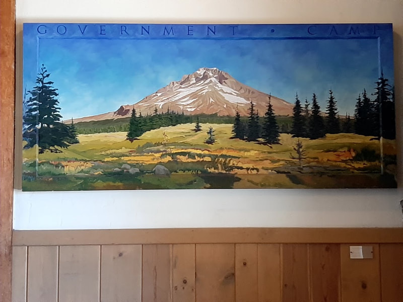
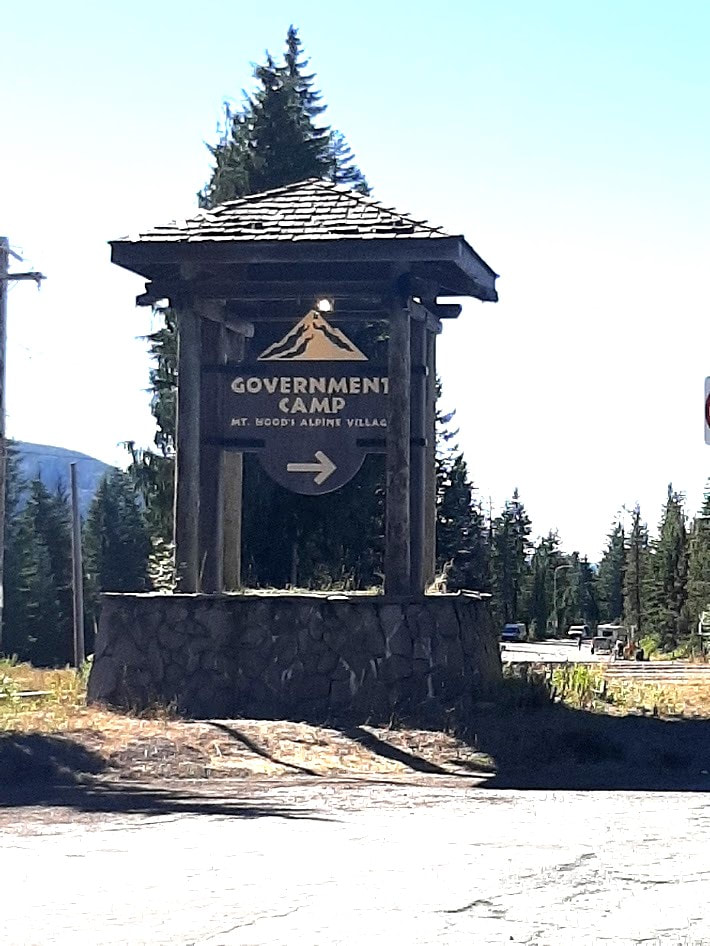
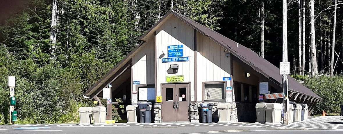
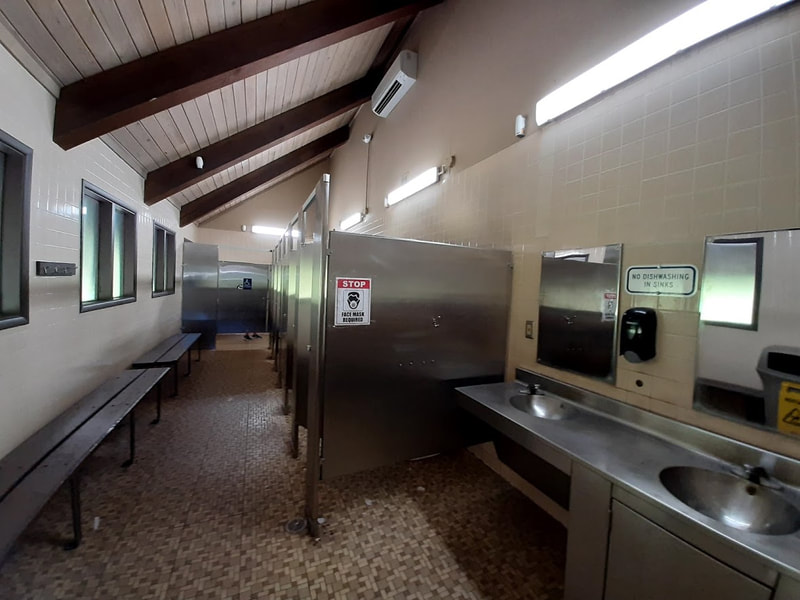
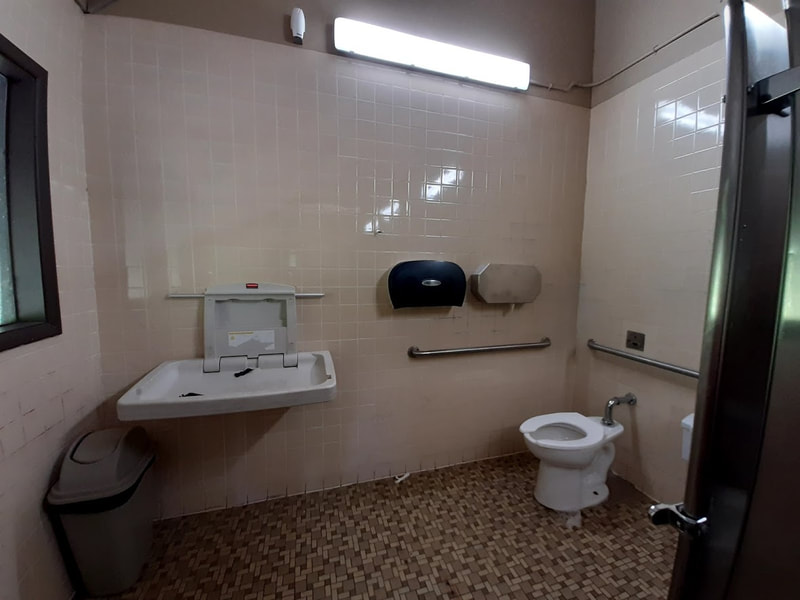
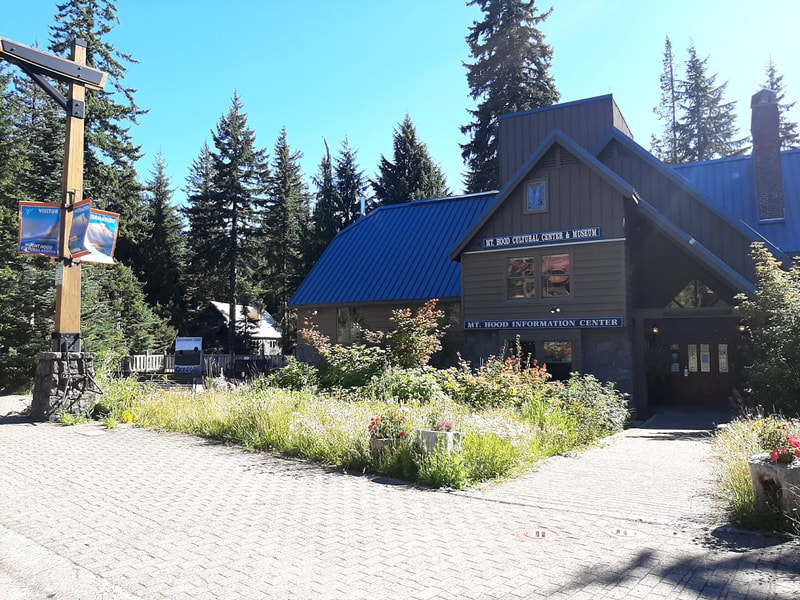
Government Camp—not far west of the road up to Timberline of Hwy 26 Quaint touristy ski town not far to the west of the road up to Timberline Lodge. At the Government Camp exit from Hwy 26 is a public restroom with a handicapped stall. Along the main street you’ll find the Mt. Hood Cultural Center & Museum. It’s closed Mon & Tues, and at 3pm other days. We just missed it. ☹
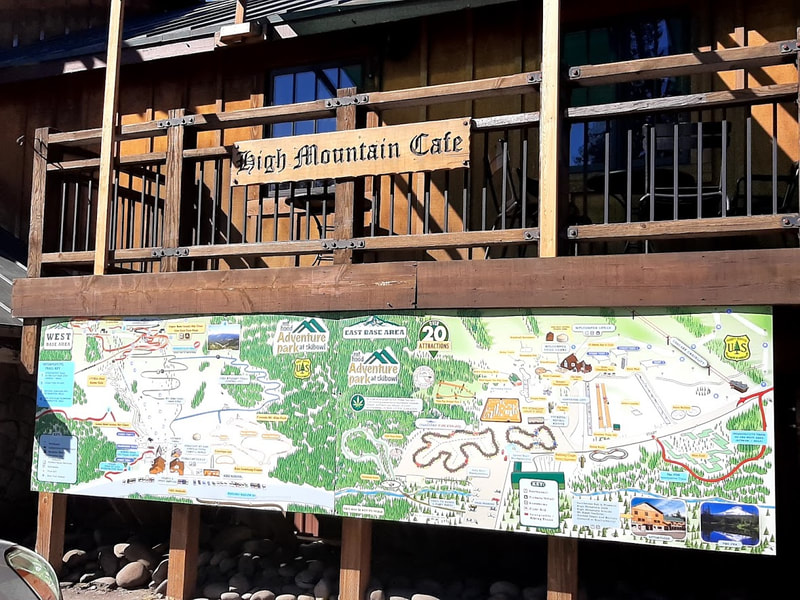
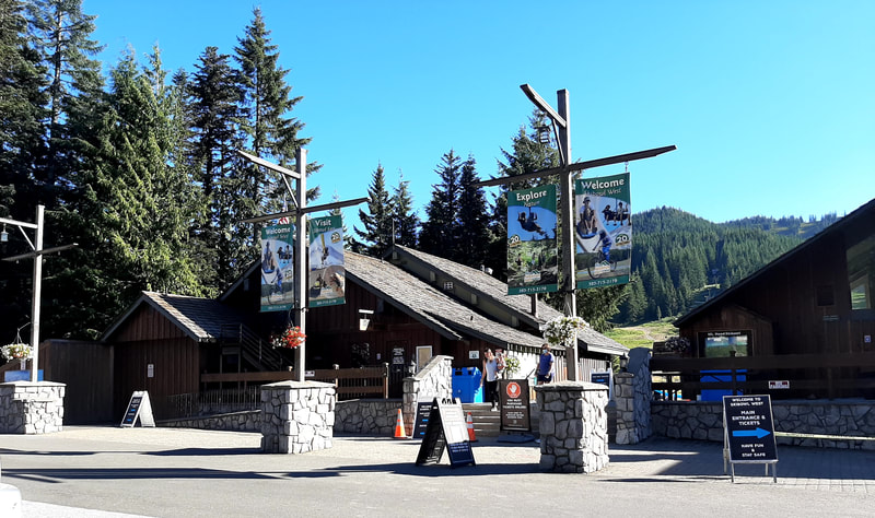
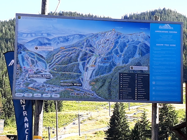
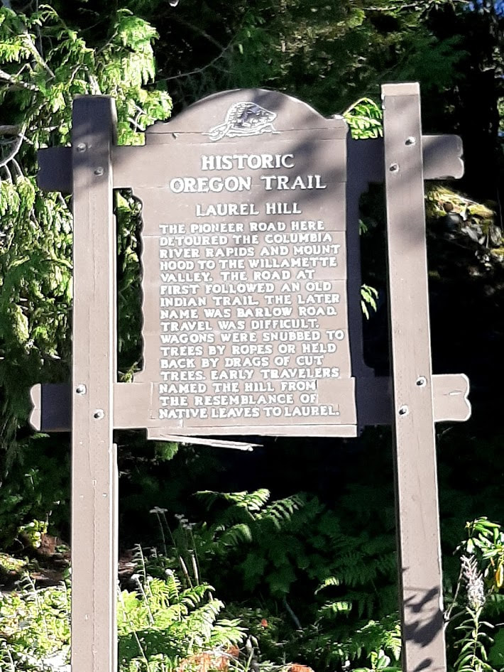
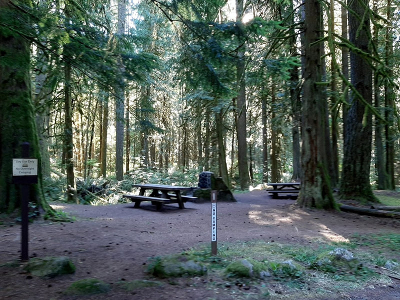
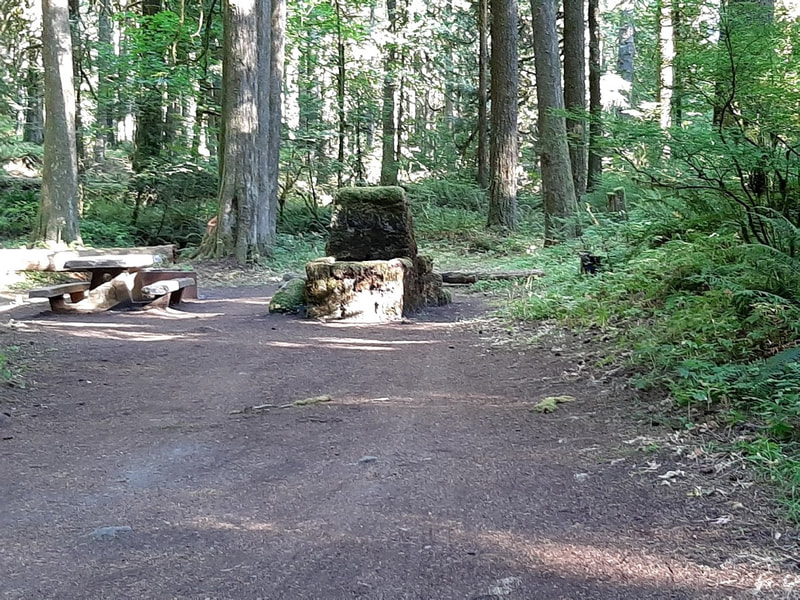
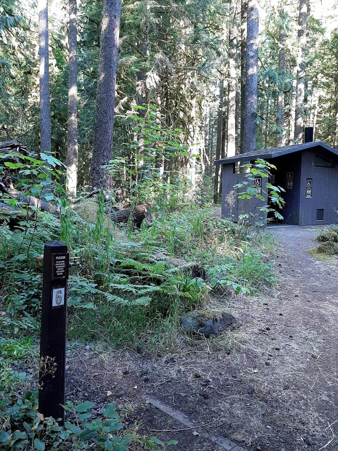
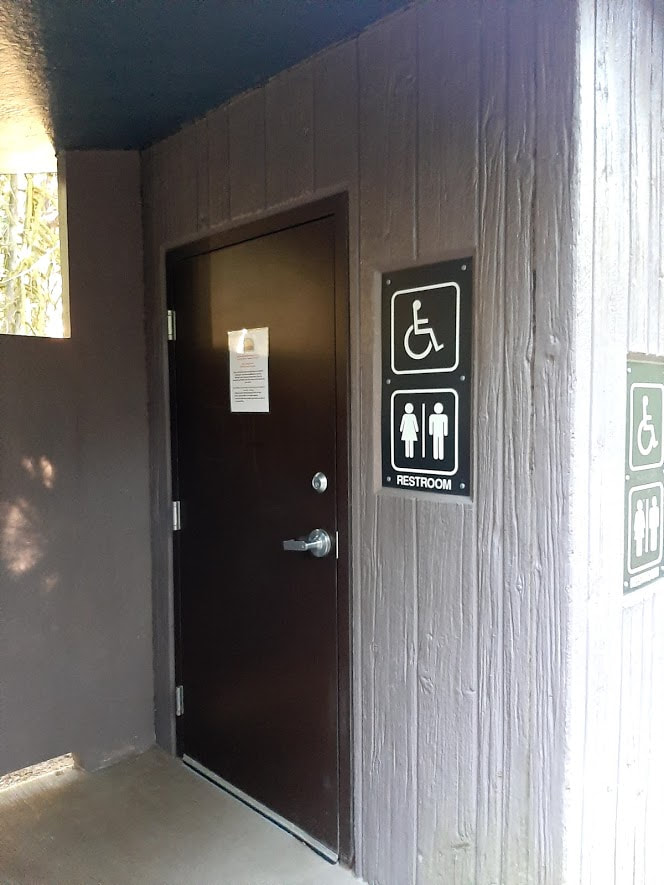
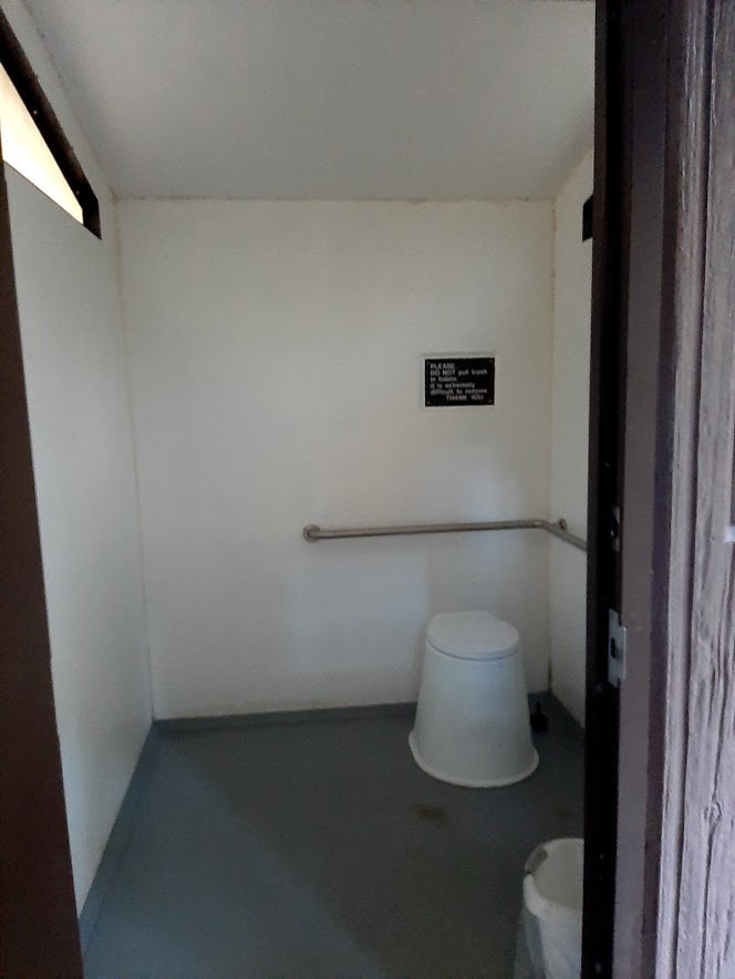
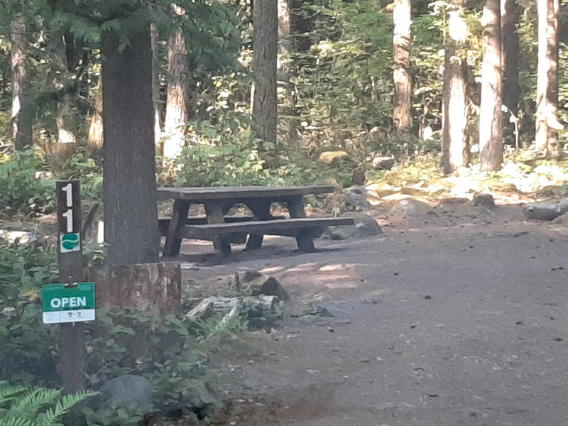
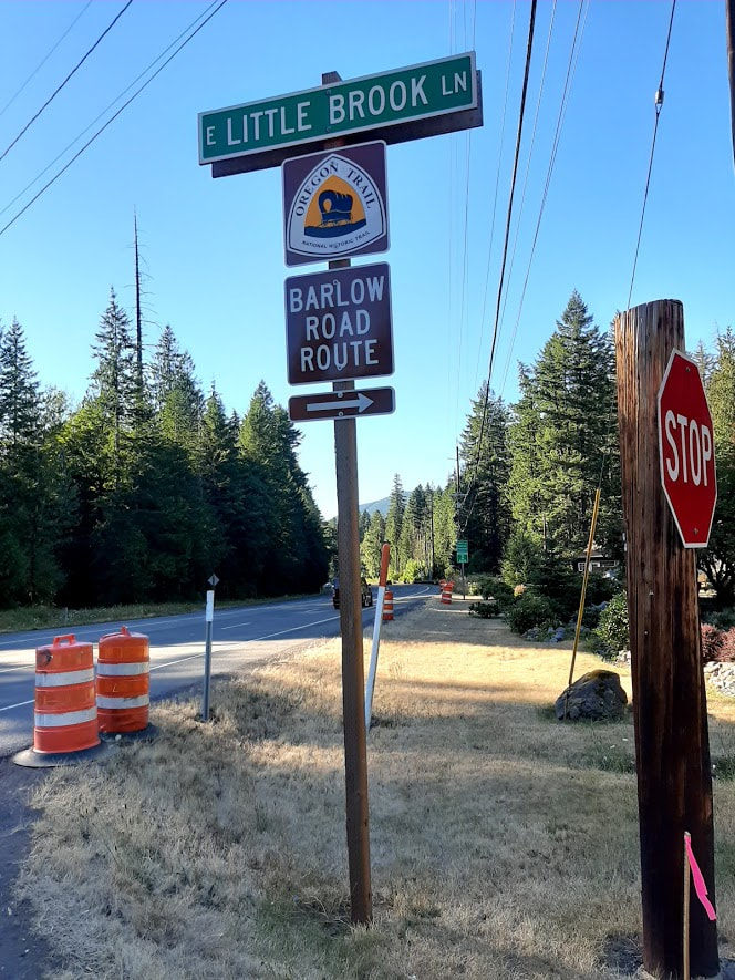
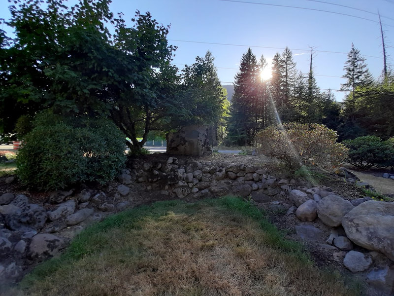
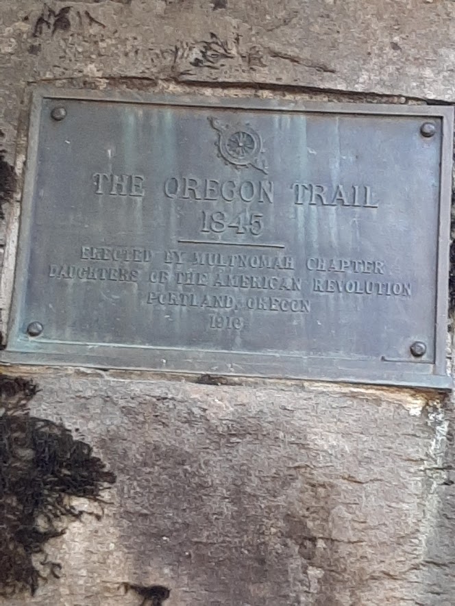
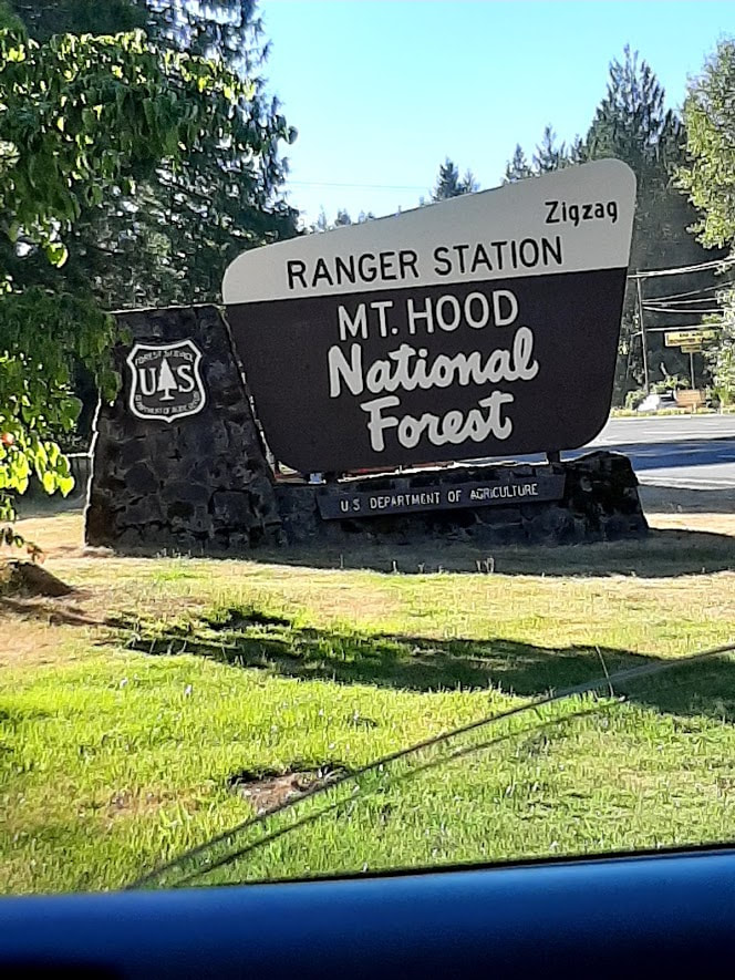
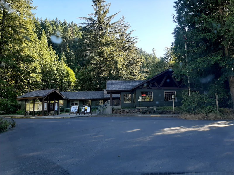
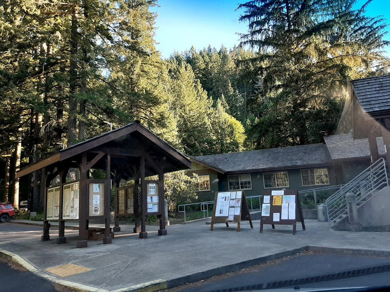
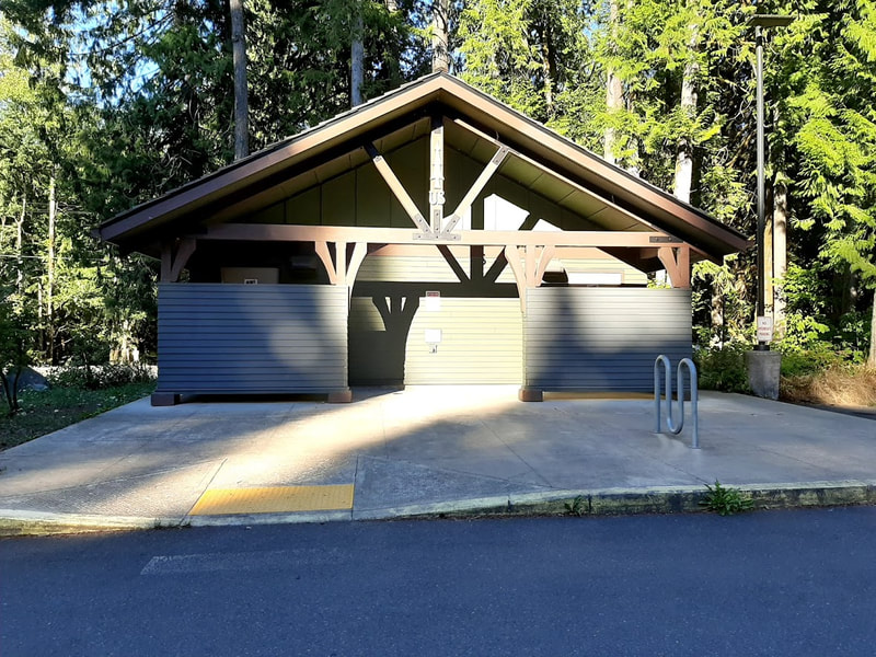
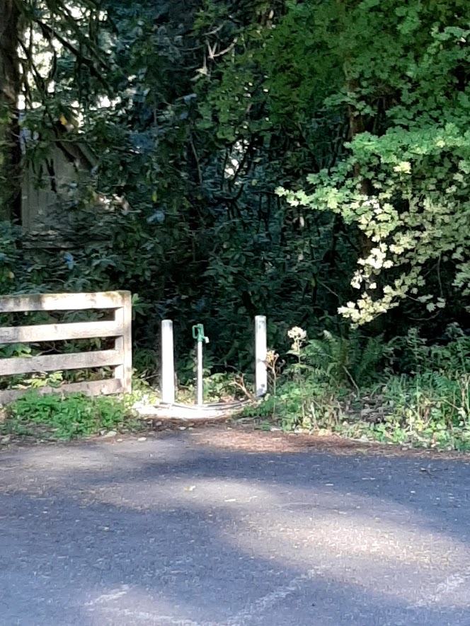
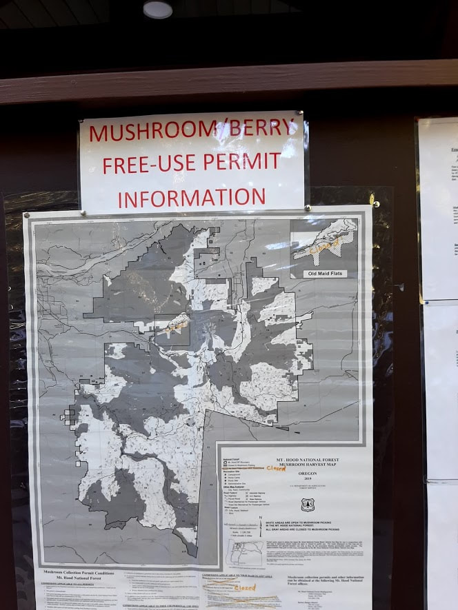
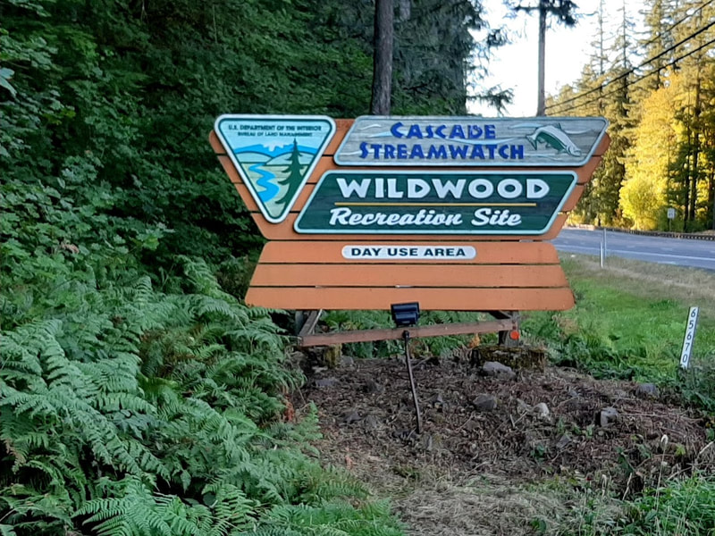
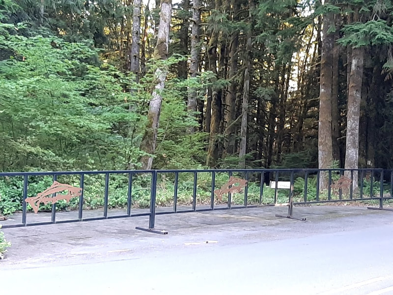
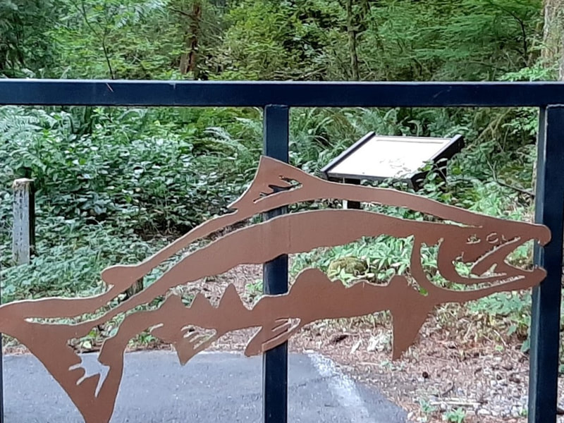
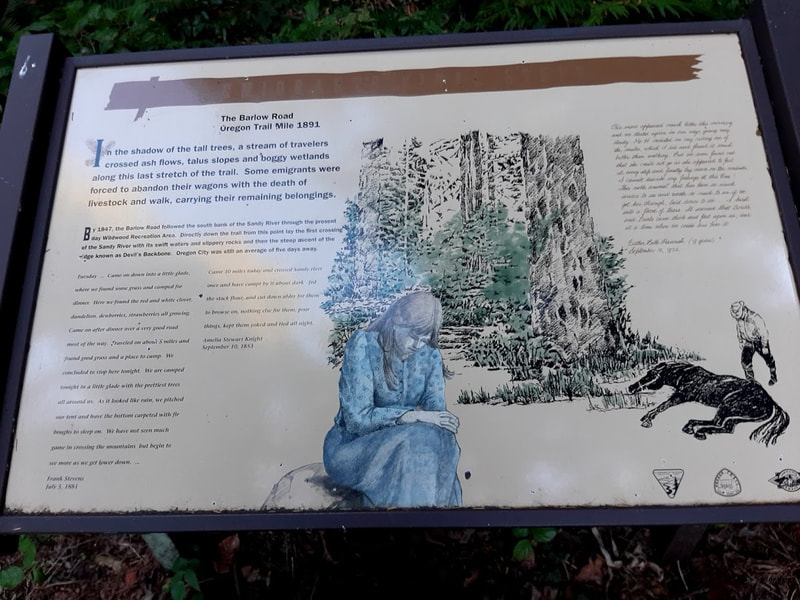
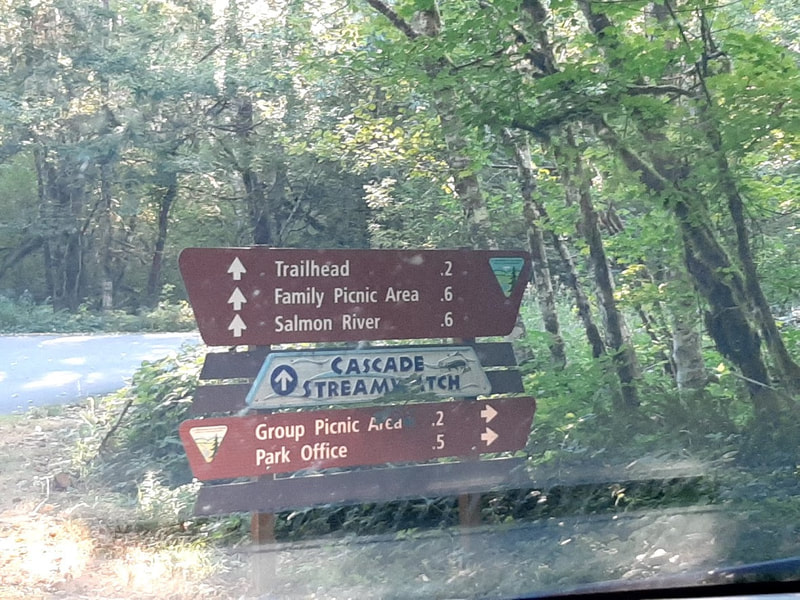
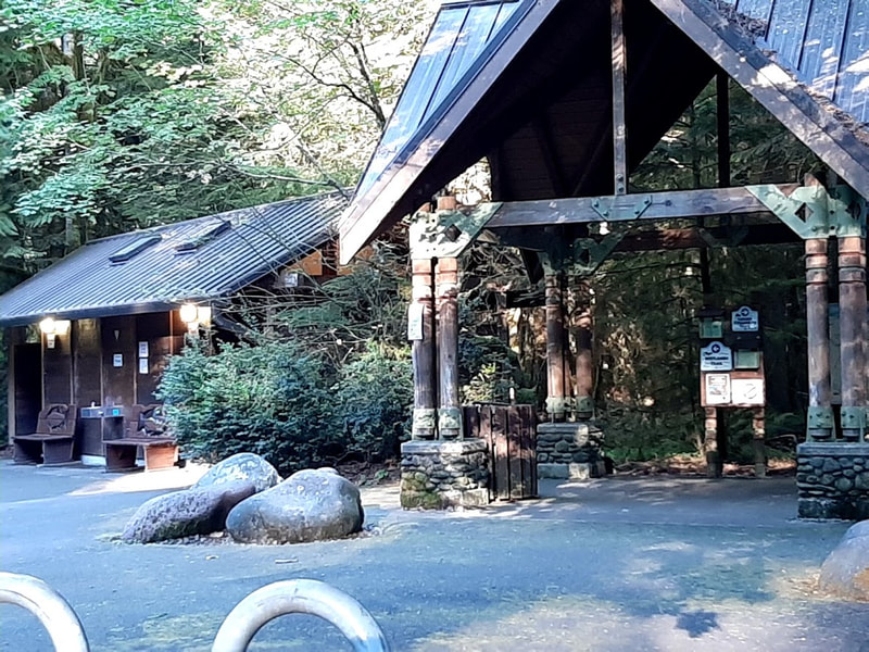
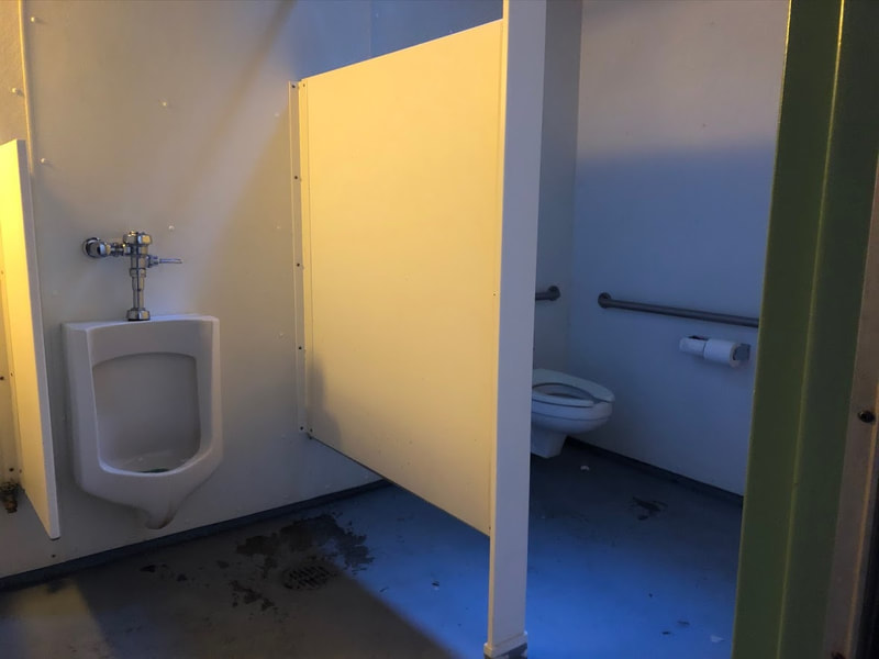
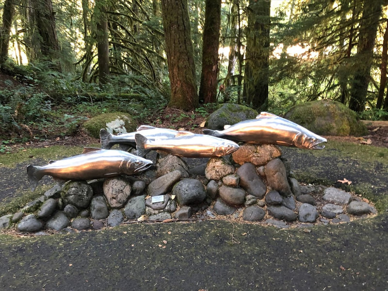
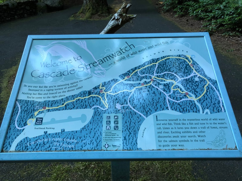
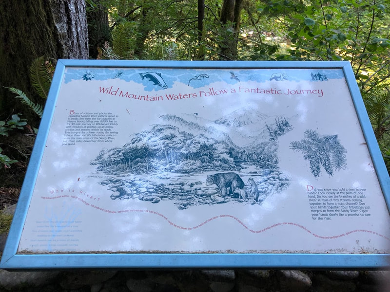
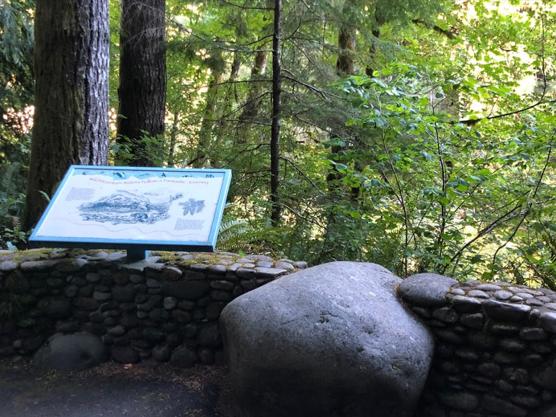
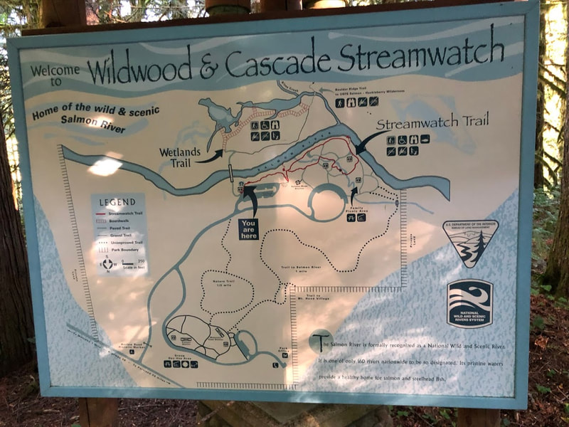
Skibowl—across from Government Camp western connection with Hwy 26 For summer travelers, the Skibowl concession offers 20+ activities, some are across Highway 26 at the East Action Park. During COVID you have to buy your tickets online ahead of time. When I called to enquire they said they are accessible, but I’m not sure how many of the activities or areas are wheelchair friendly. Still looks like a lot of fun for the young, http://skibowl.com/summer Laurel Hill—Barlow Road (Oregon Trail) marker only accessible going east, uphill, between mileposts 44 and 45. There’s a little space to pull off the road to read the historic marker. Evidence of people hiking to find the Barlow was up a very steep hill, very inaccessible. But the historic marker is worth reading. https://www.hmdb.org/m.asp?m=112372 Tollgate Day Use and Camping—9 mi west of Government Camp, Hwy 26 Great old fireplaces in the day use area are treasures. It’s a wonderful shady forested place for when it’s hot. $5 day use, as usual. It looks like from there you can access trails to the Barlow Road (Oregon Trail). Campsites on the Zigzag River are prettily placed. There’s a handicapped campsite not far from 2 accessible vault toilets. https://www.fs.usda.gov/recarea/mthood/recarea/?recid=5351 Rhododendron OR—just west of Tollgate Day Use and Campground Watch for the sign for E. Little Brook Lane, and the Barlow Road marker, west end of town. The little monument is right there off Hwy 26. It’s historic in its own right, erected 1916. https://www.hmdb.org/m.asp?m=112340 Zigzag FS Ranger Station—2 miles west of Rhododendron on Hwy 26 This ranger station is a beautiful classic bit of architecture. It was closed when we were there, as well as the accessible restroom building. But there are lots of informative outdoor displays. There’s an outdoor water faucet off the parking lot. Apparently huckleberry pickers and mushroom gatherers take a trail from there—walkers only. Warning about bears (who also love huckleberries) and other wild animals. If you need info about the area on the west side of Mt. Hood, these would be the guys to call. https://www.fs.usda.gov/recarea/mthood/recarea/?recid=5277 Wildwood Recreation Site—2.4 miles west of Zigzag Ranger Station What a cool place for hot days! This has accessible restrooms, paved interpretive trails, Cascade Streamwatch Trail, picnicking . . . right at the entrance, behind a fish art gate is an inconspicuous marker for the Barlow Road. For more info see https://www.blm.gov/visit/wildwood-recreation-site and https://www.recreation.gov/camping/campgrounds/23407 Sandy, OR—about 15 miles west of Wildwood
Sandy is an appealing little city. I look forward to visiting the Sandy Historical Society Museum, “on Pioneer Boulevard, a part of the original Barlow Road,” and the Philip Foster Farm on the Oregon Trail only 6 miles southwest of Sandy, next year when I hope to publish an Oregon Trail post. Maybe I'll see you in the 'hood.
1 Comment
3/12/2021 03:17:59 am
Excellent blog, good to see someone is posting quality information. Thanks for sharing this useful information. Keep up the good work
Reply
Leave a Reply. |
Wheelchair WomanI've been in a wheelchair for 30+ years. It poses some challenges for traveling. Maybe others can benefit from my experiences. Archives
June 2024
Categories
All
|


 RSS Feed