|
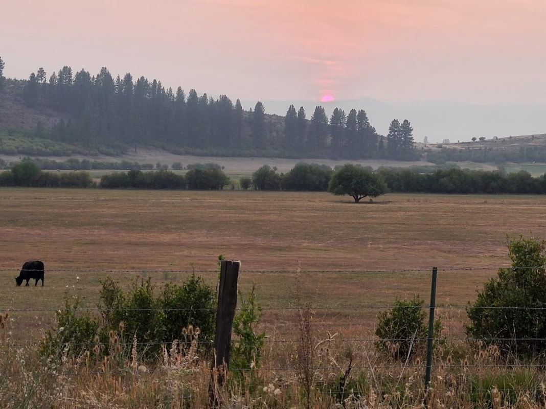
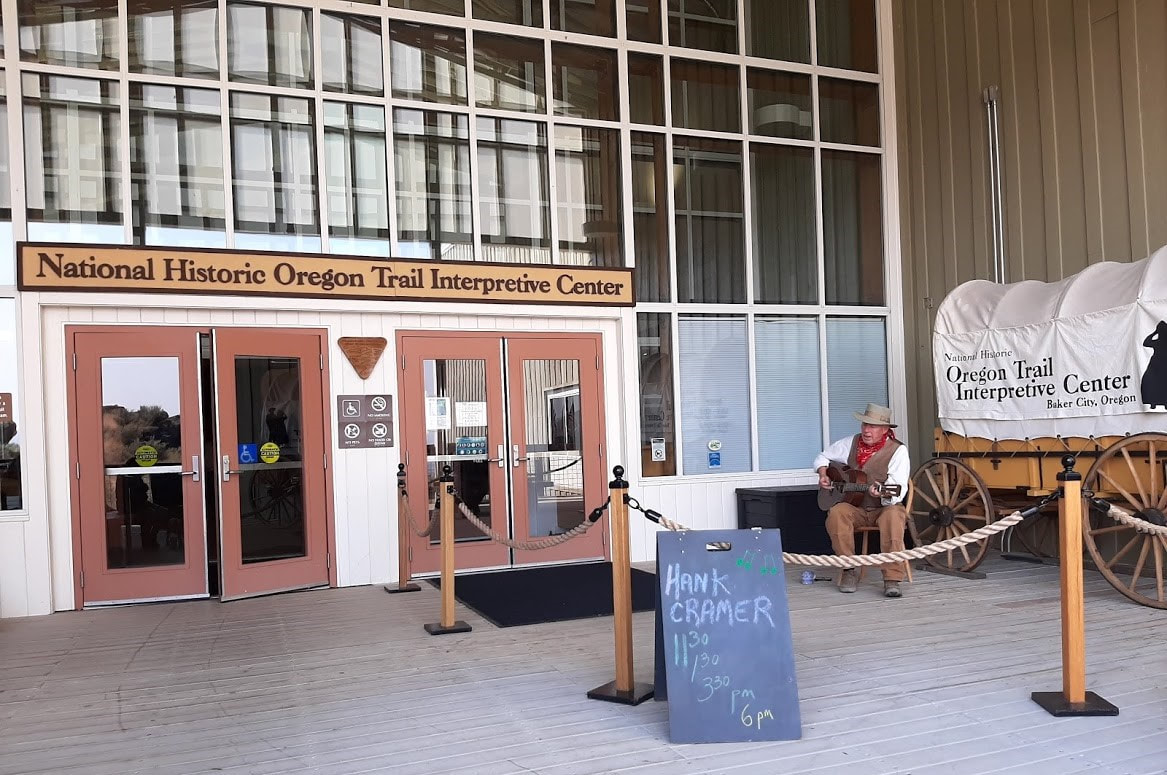
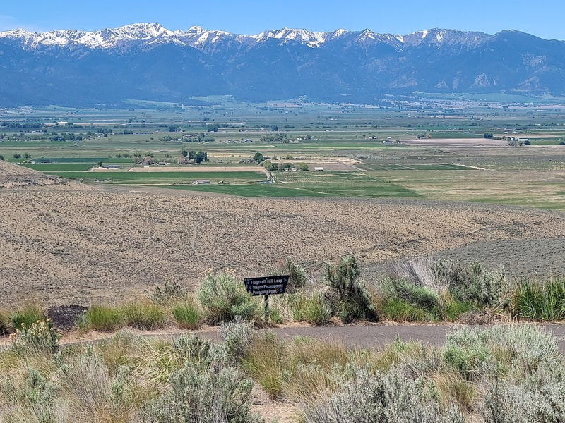
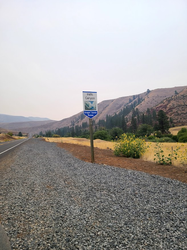
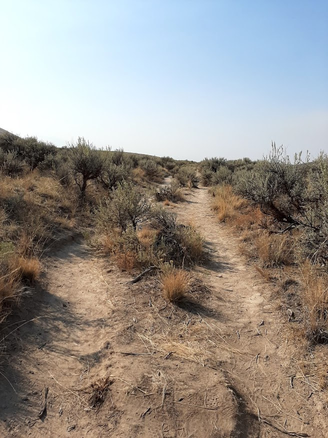
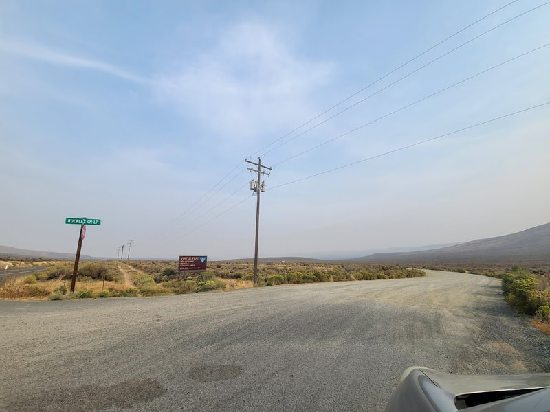
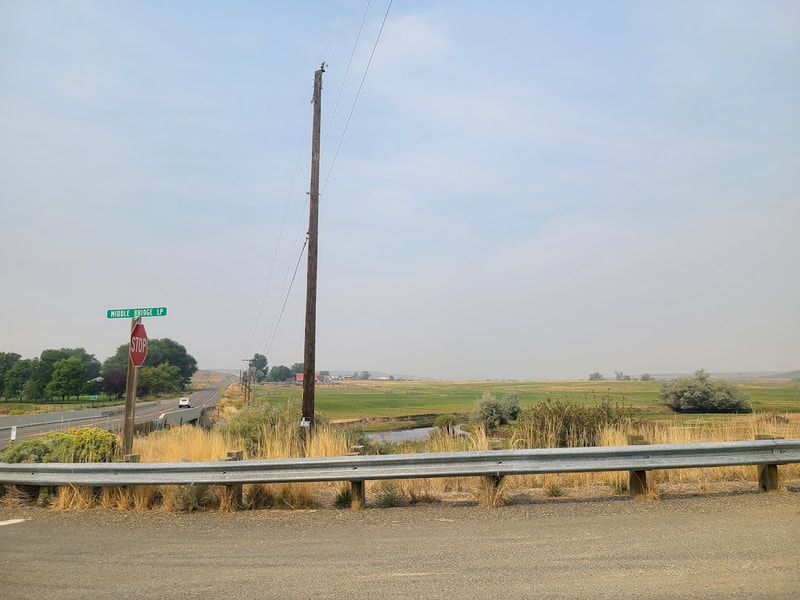
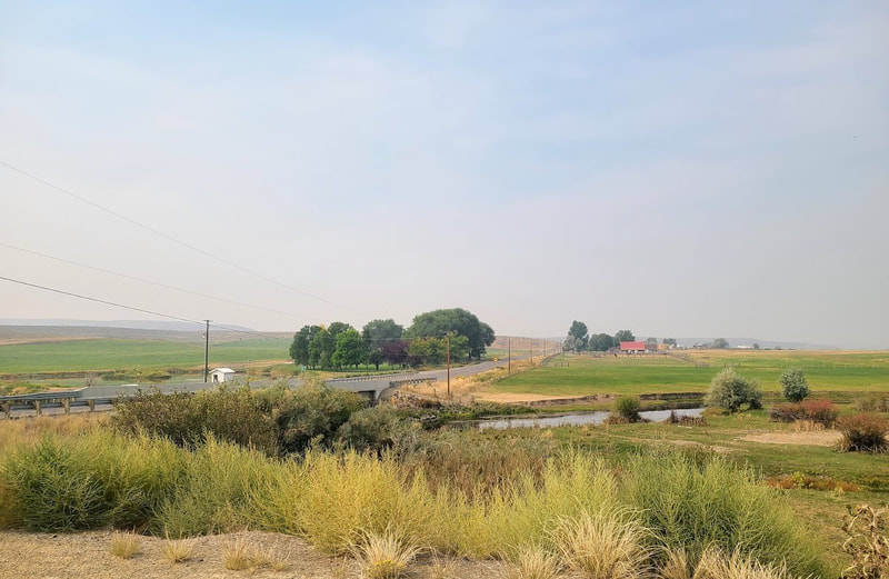
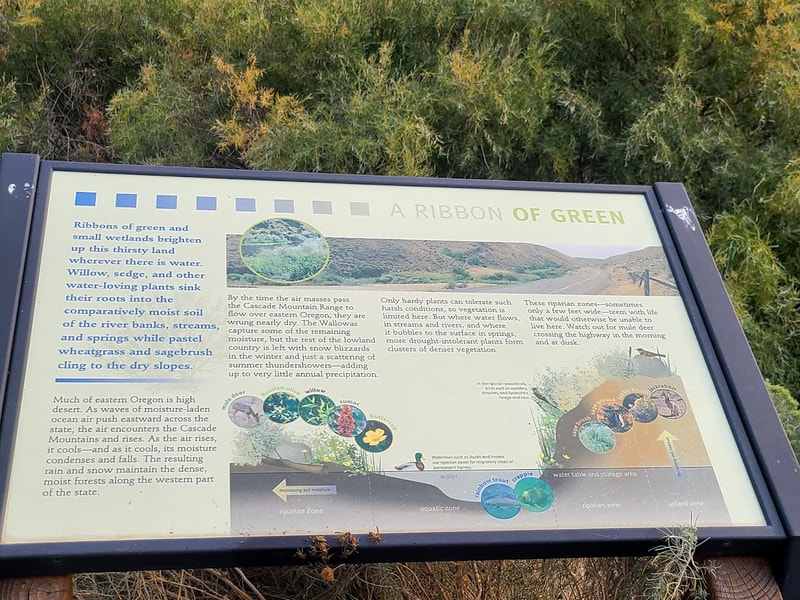
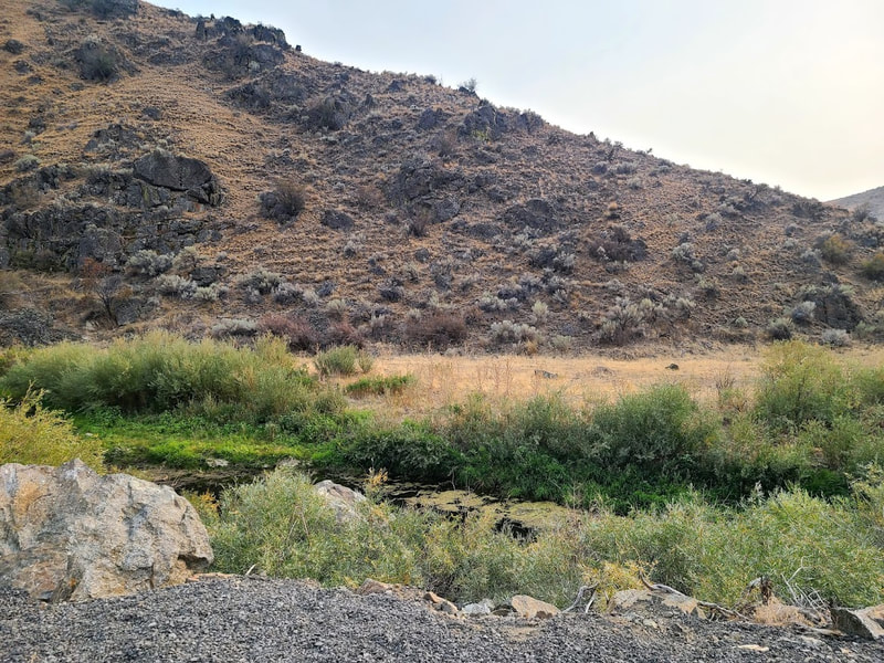
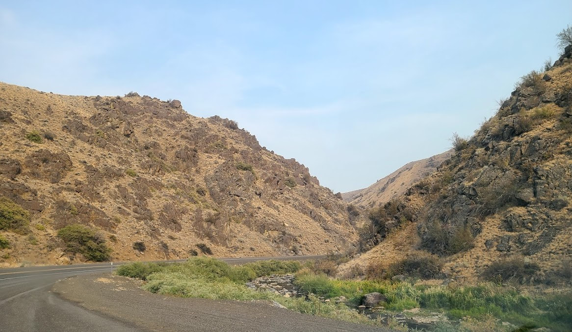
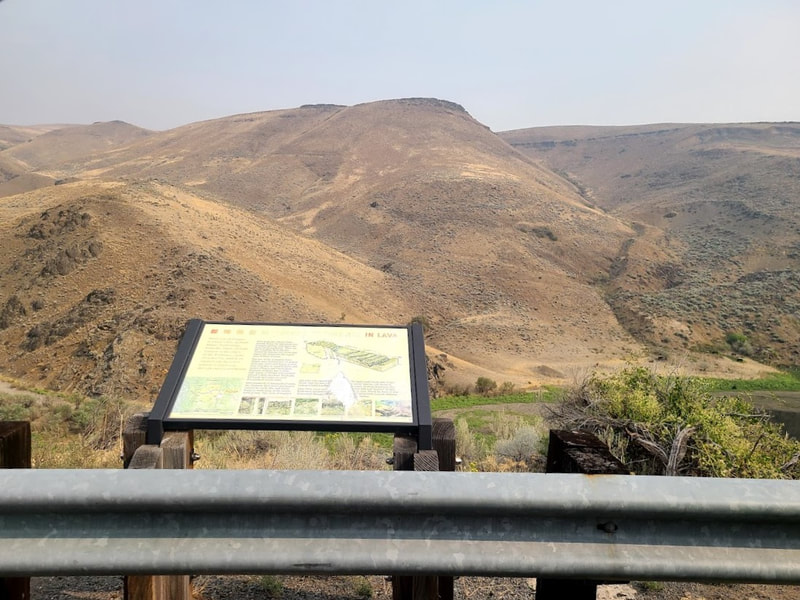
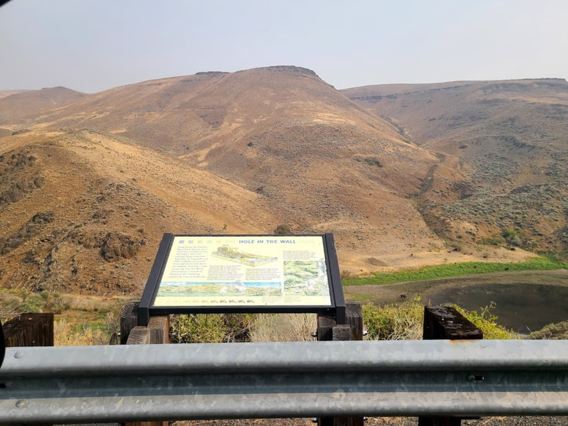
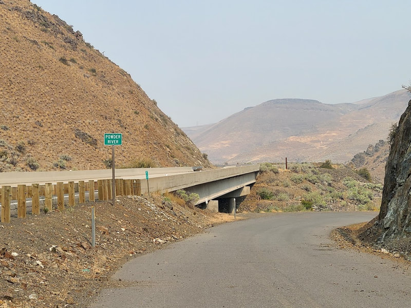
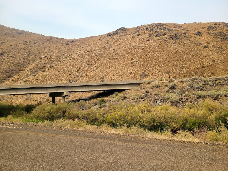
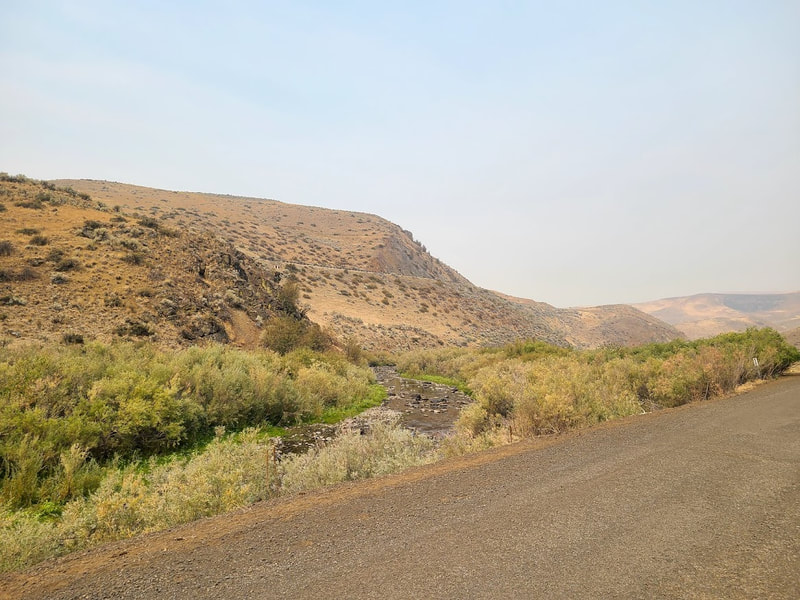
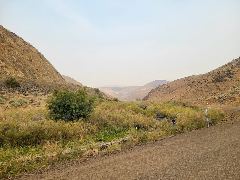
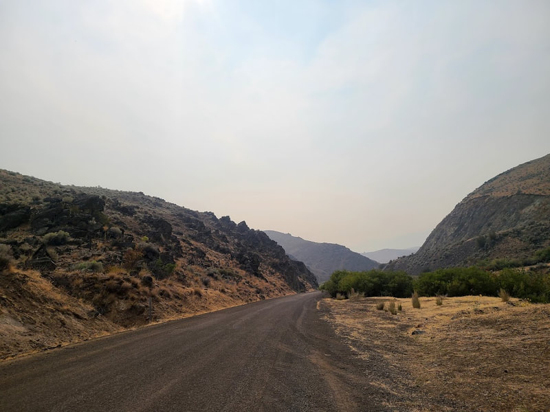
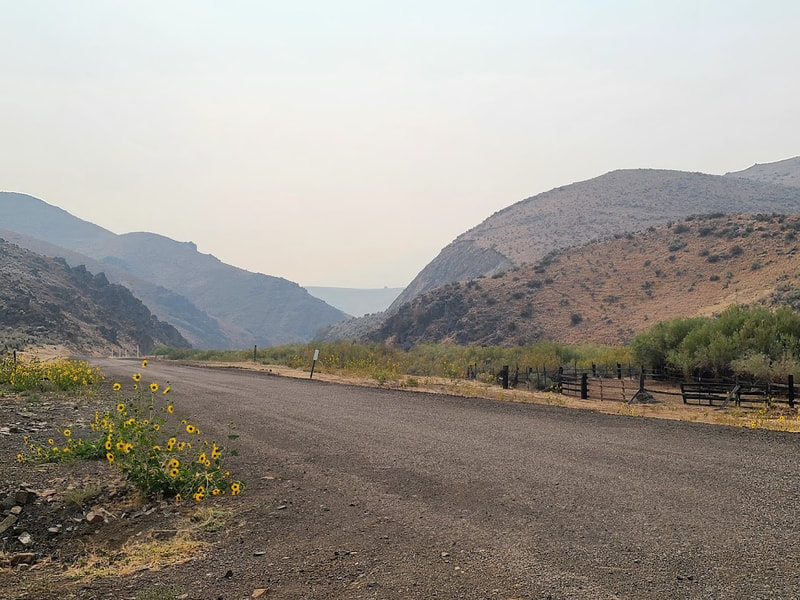
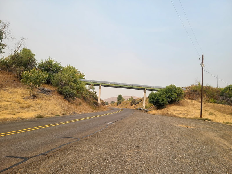
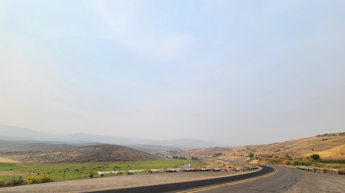
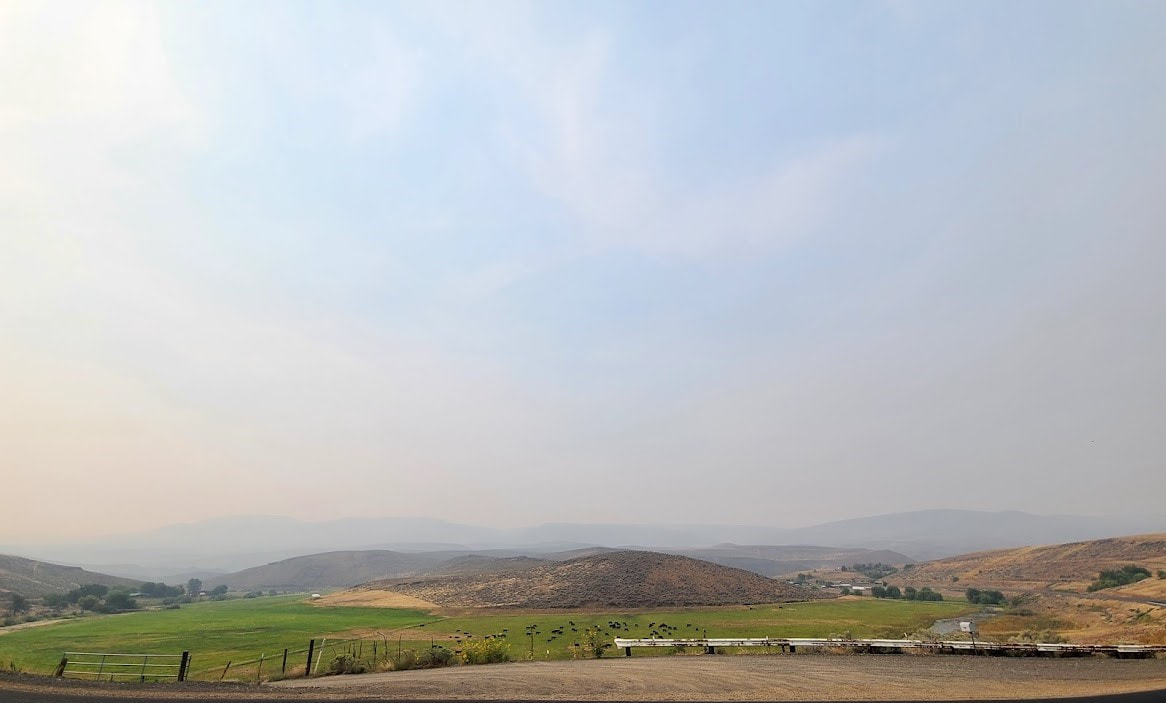
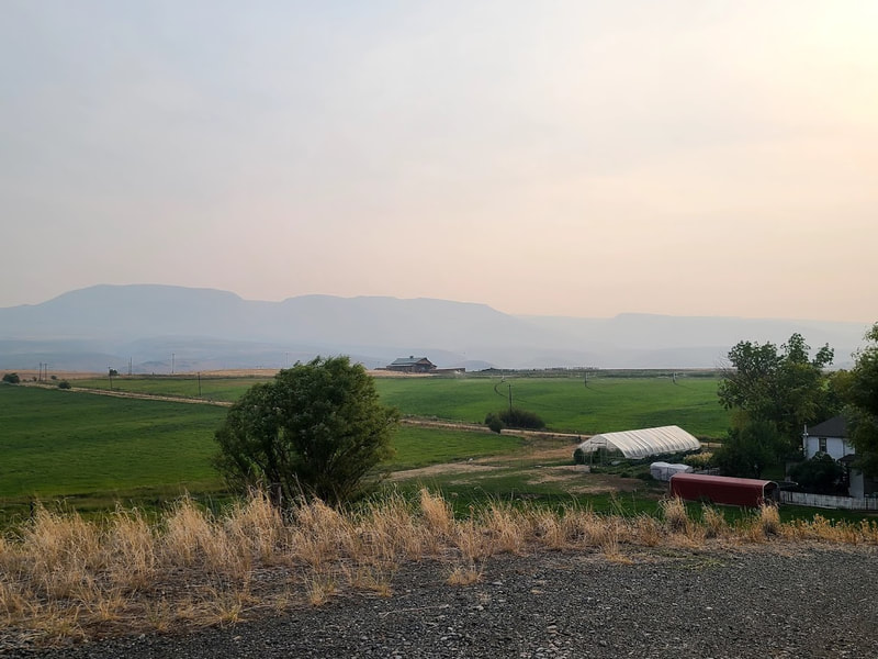
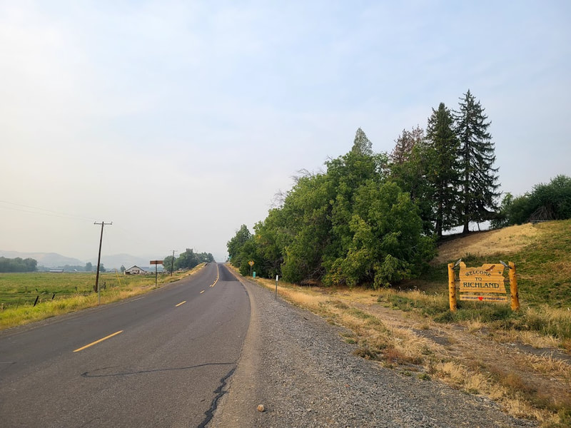
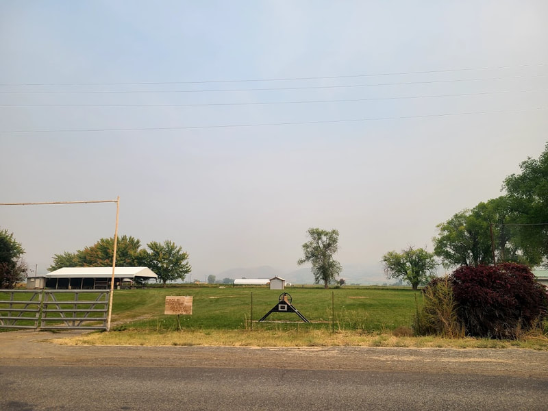
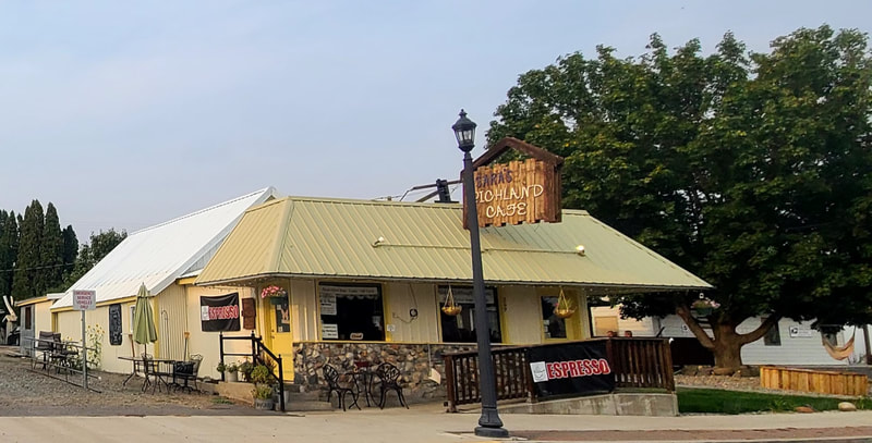
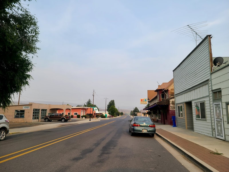
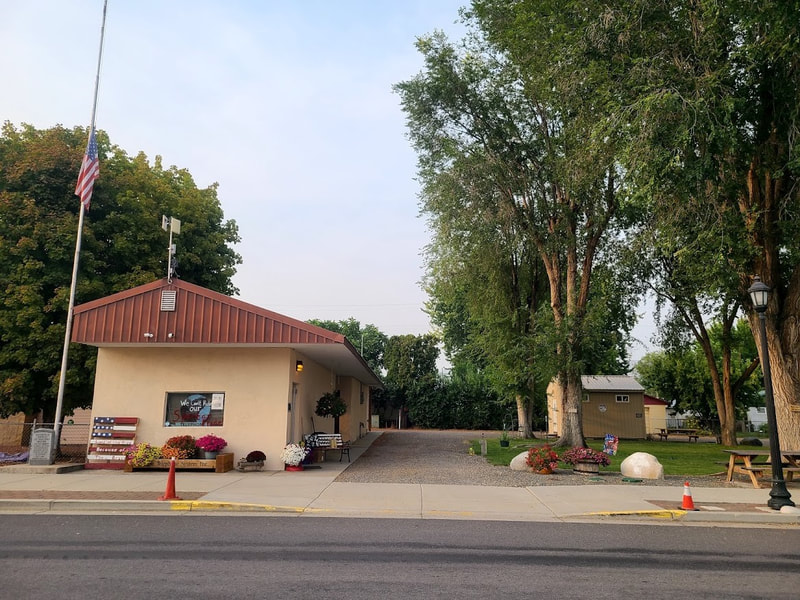
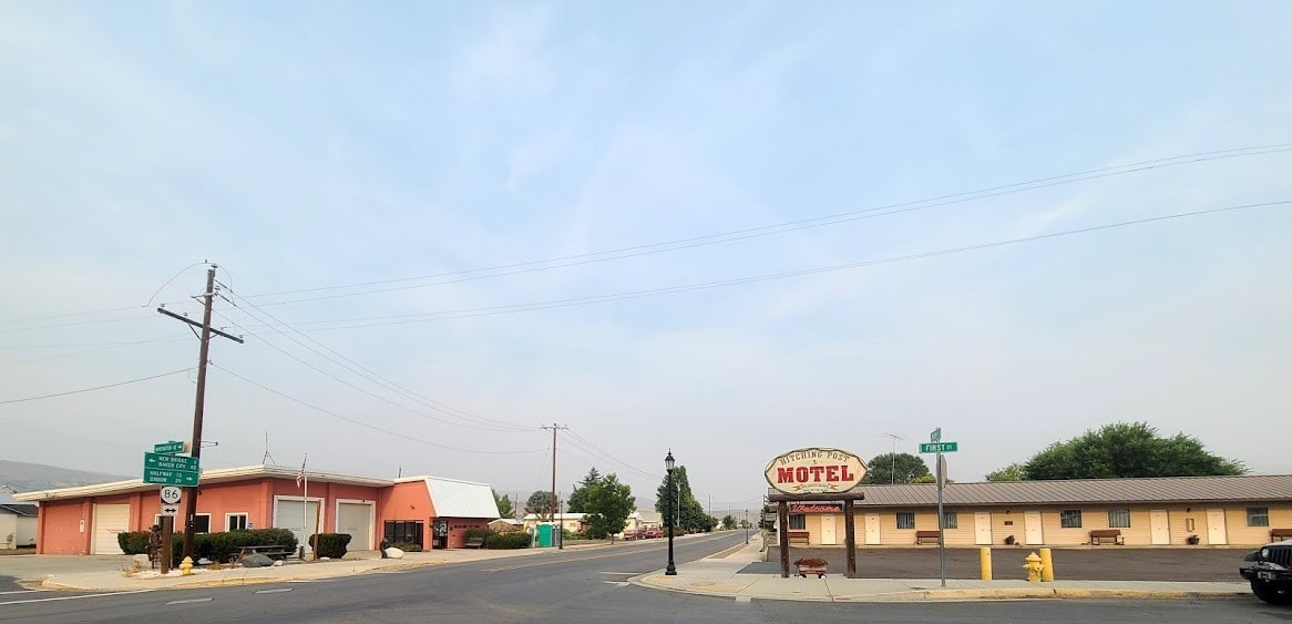
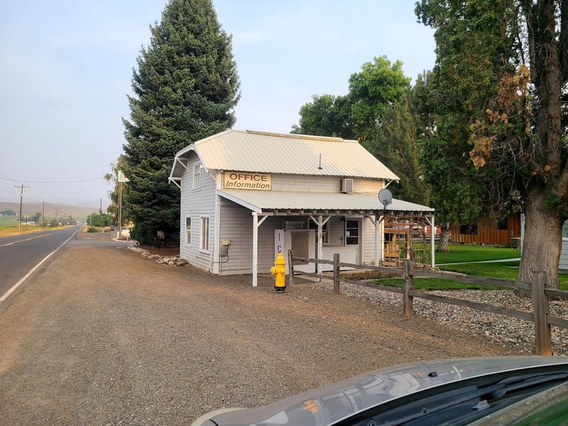
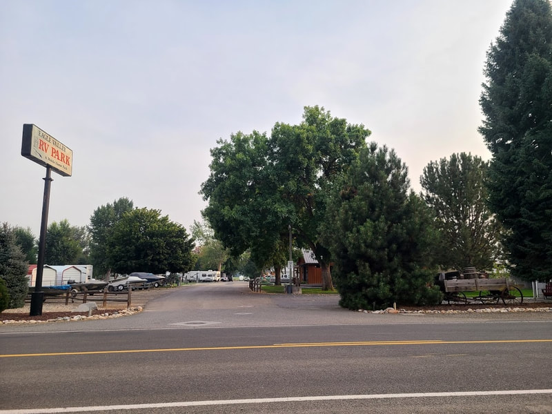
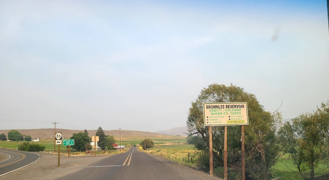
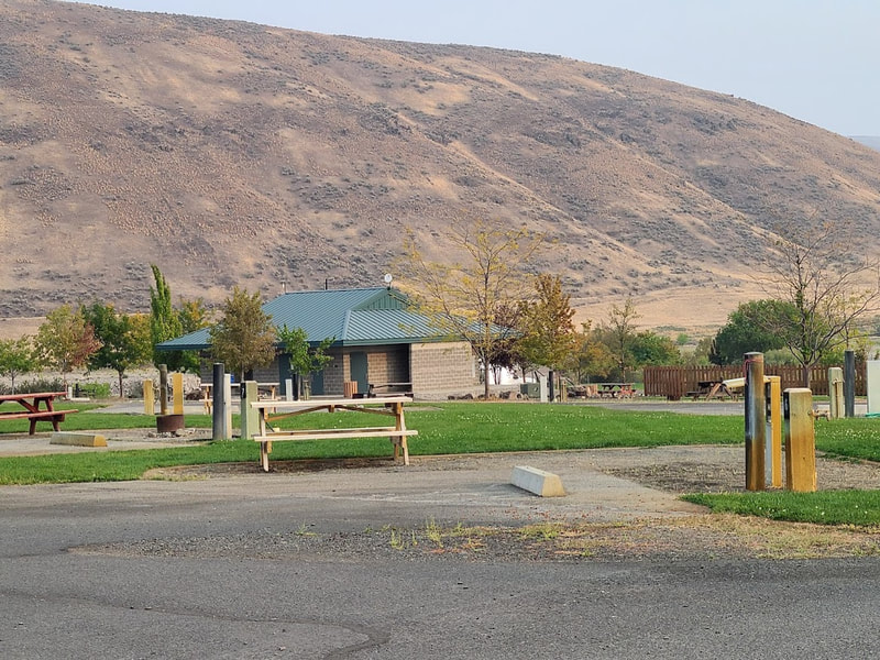
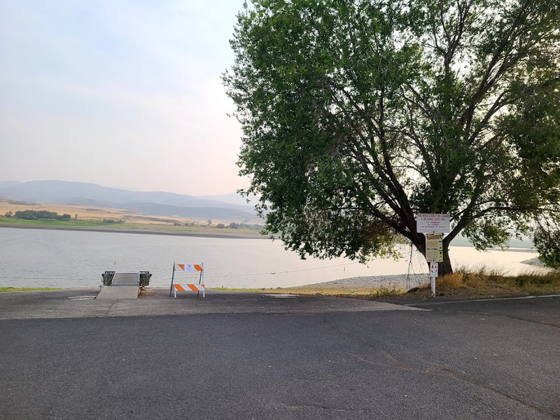
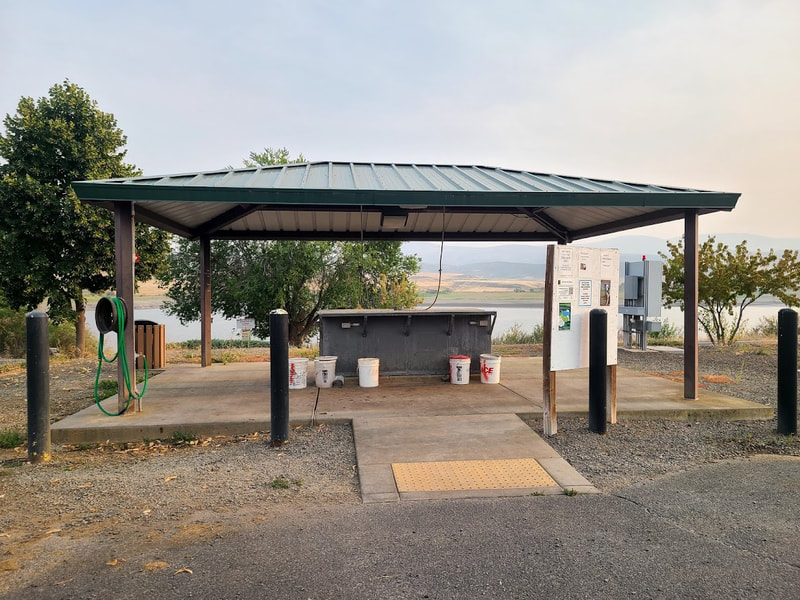
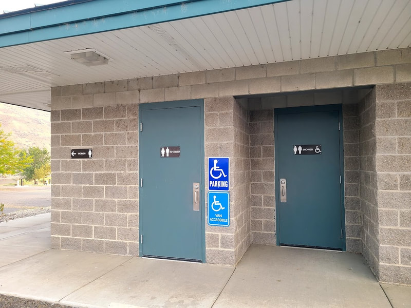
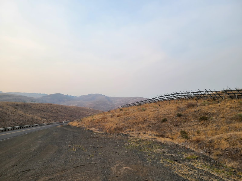
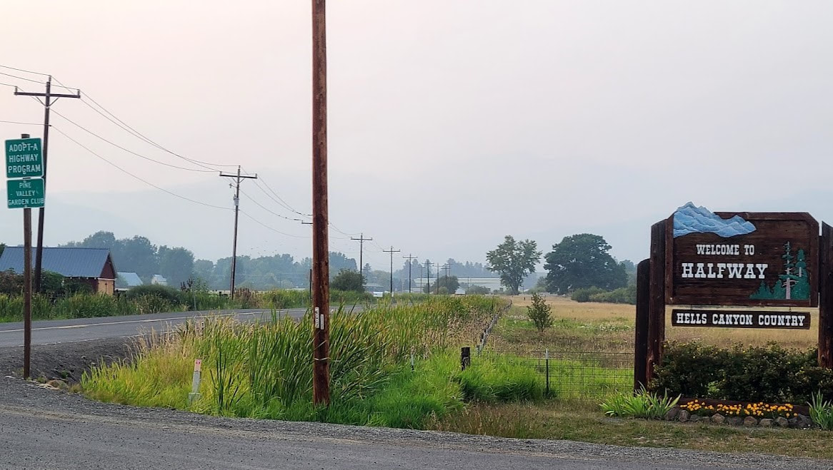
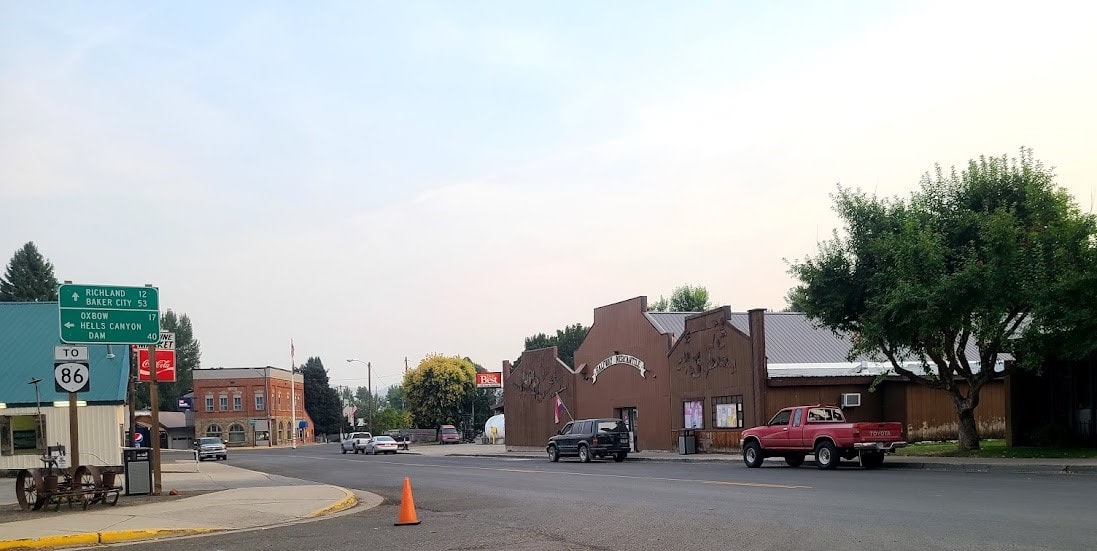
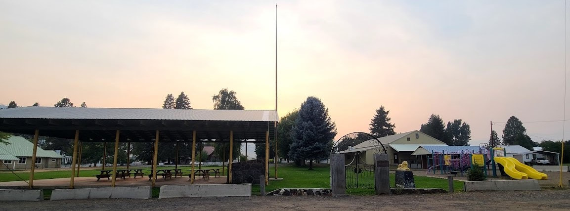
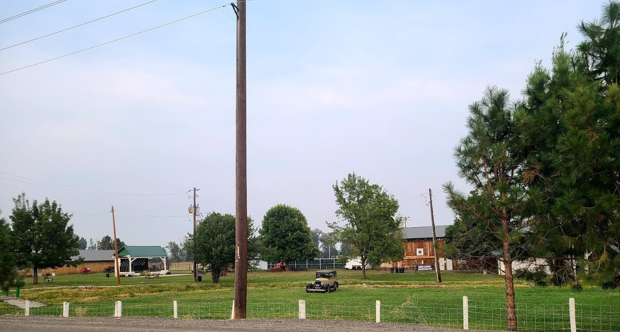
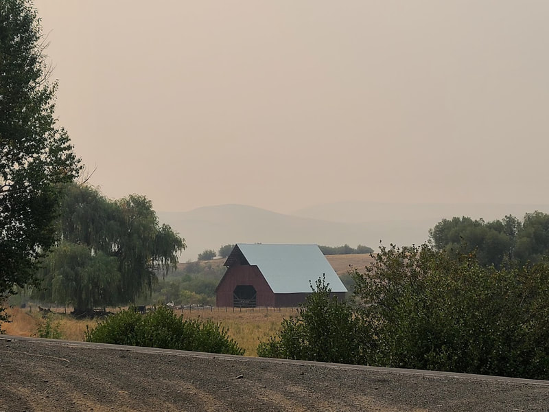
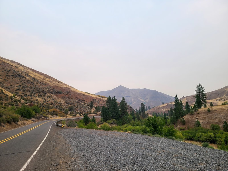
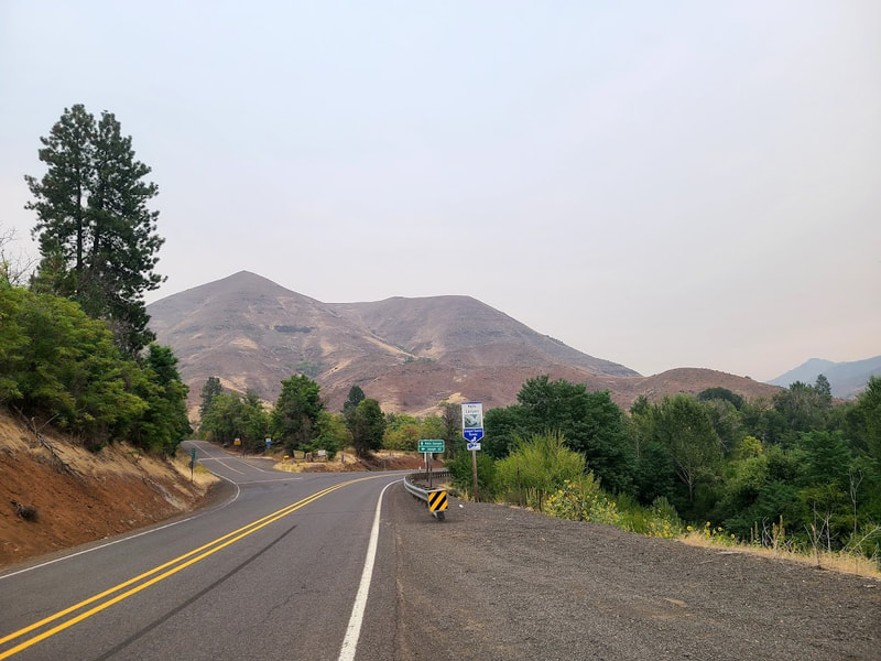
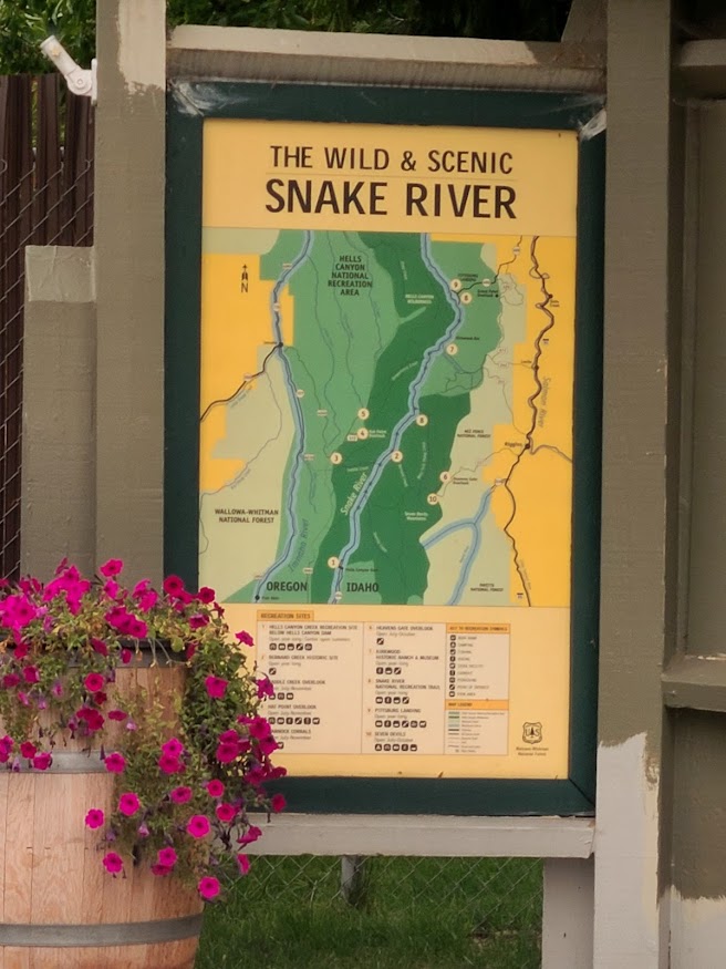
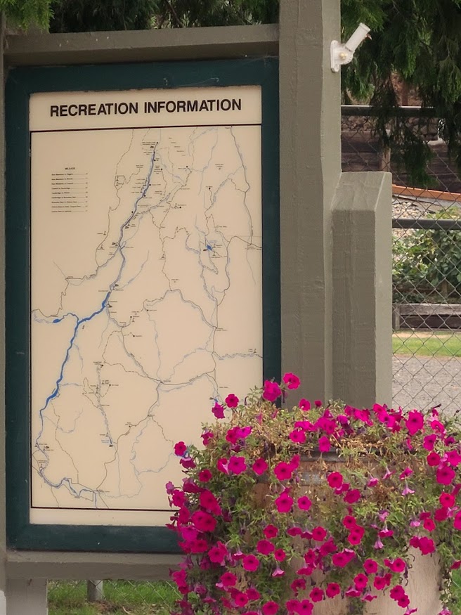
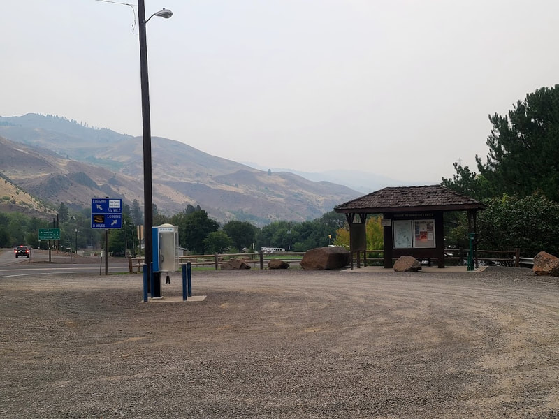
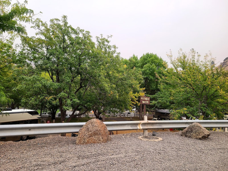
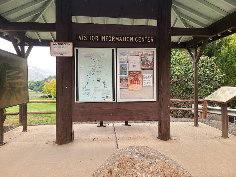
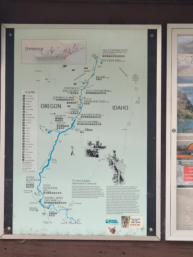
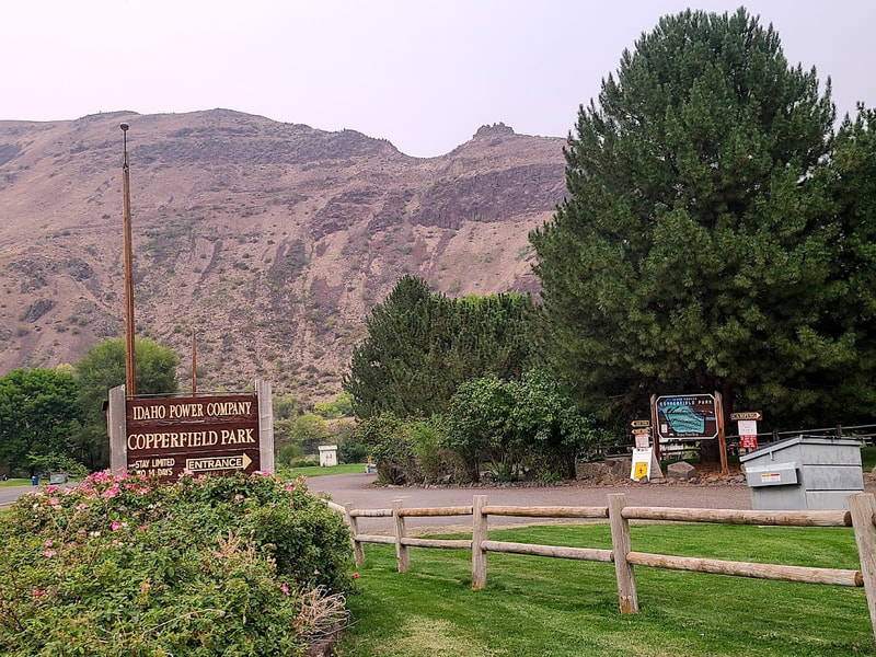
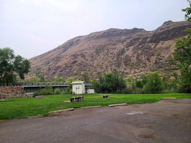
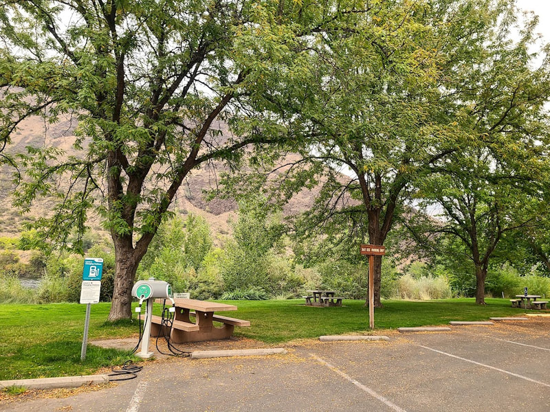
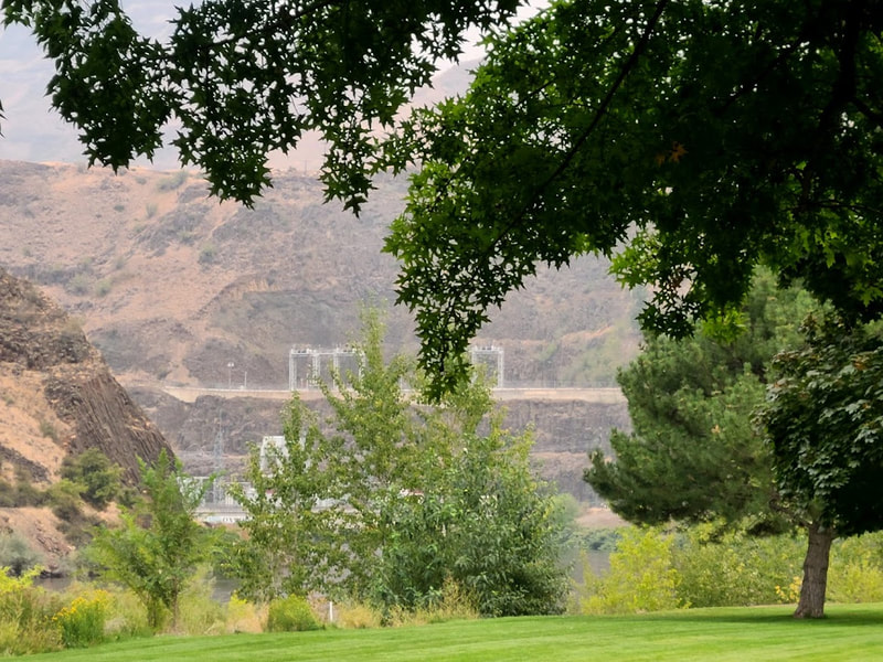
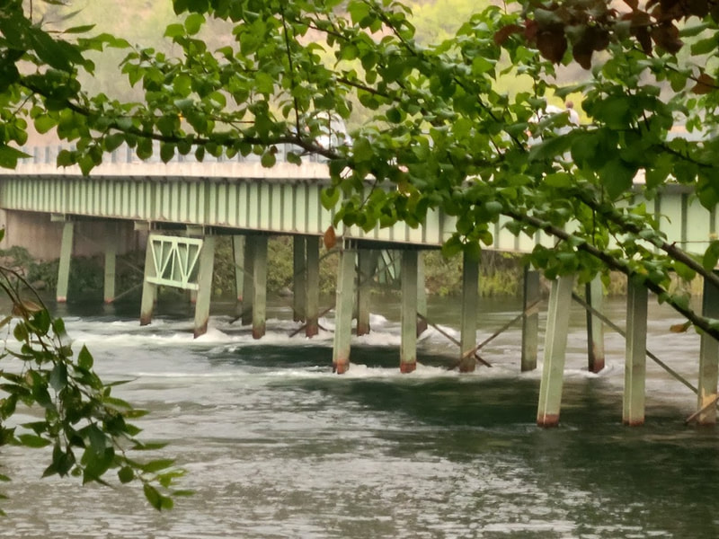
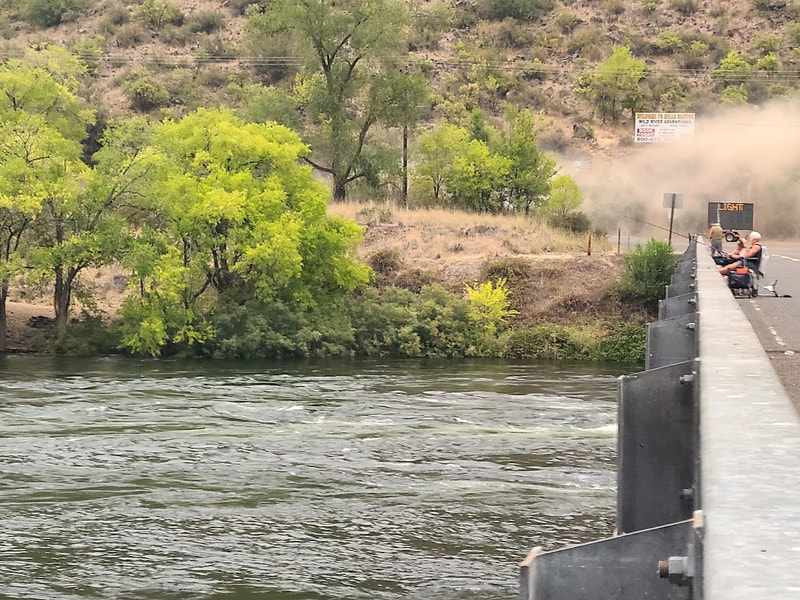
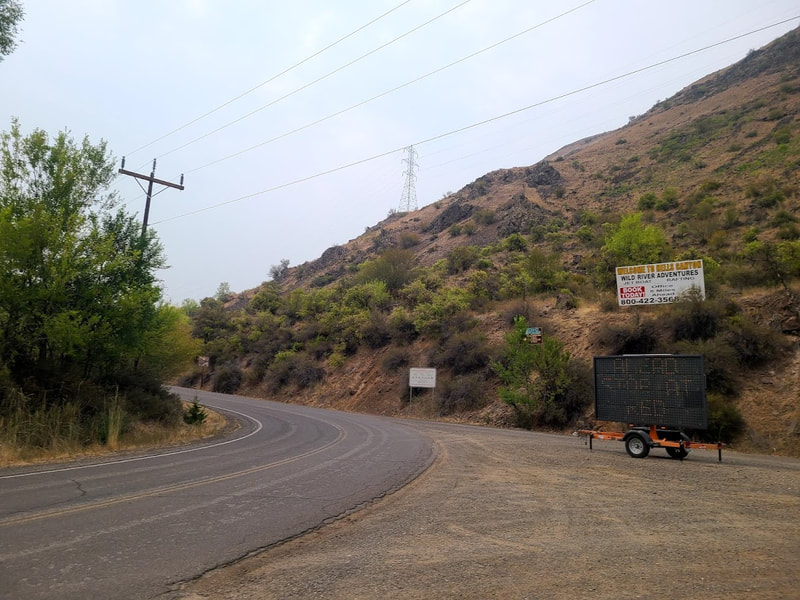
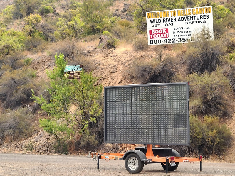
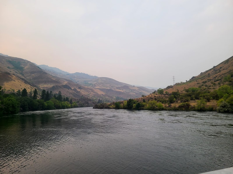
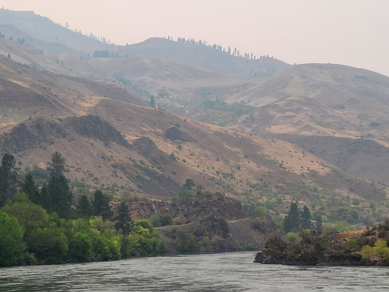
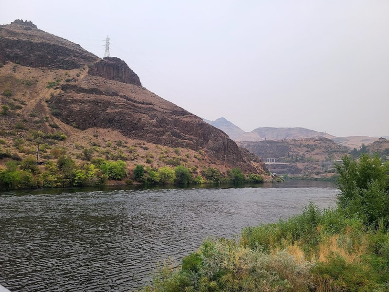
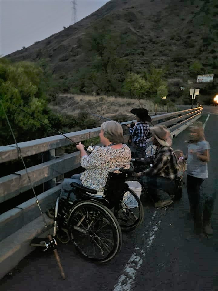
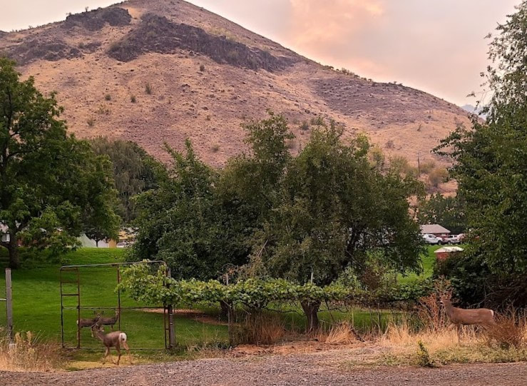
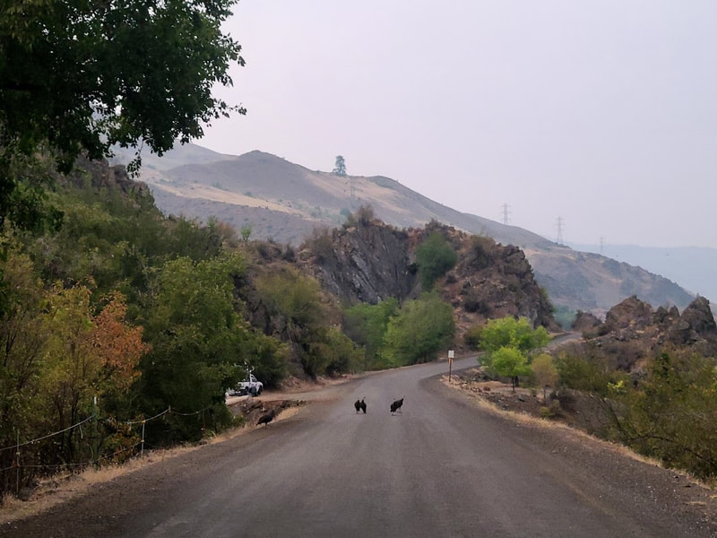
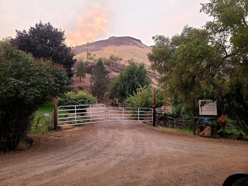
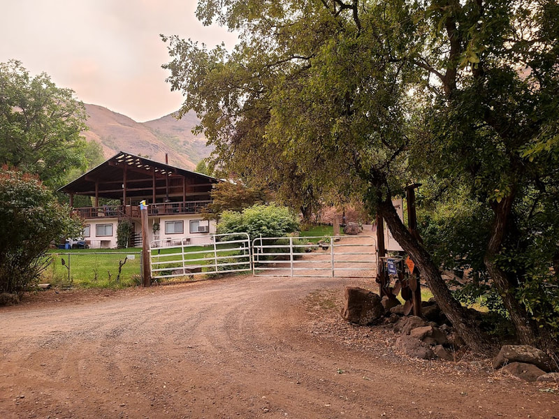
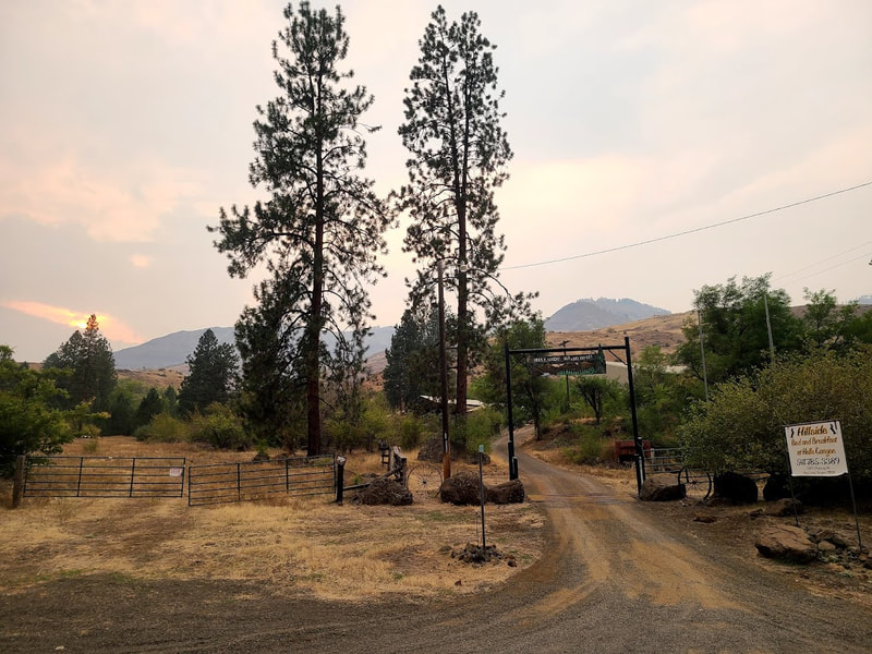
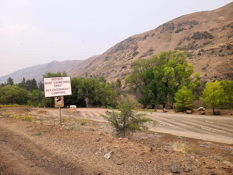
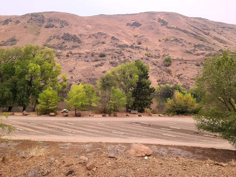
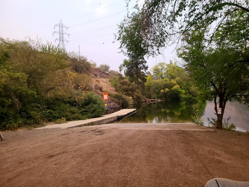
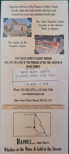
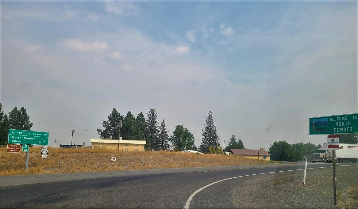
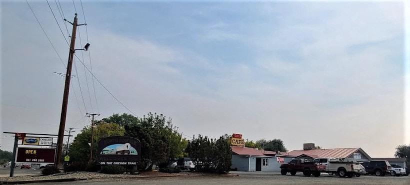
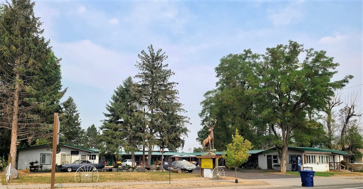
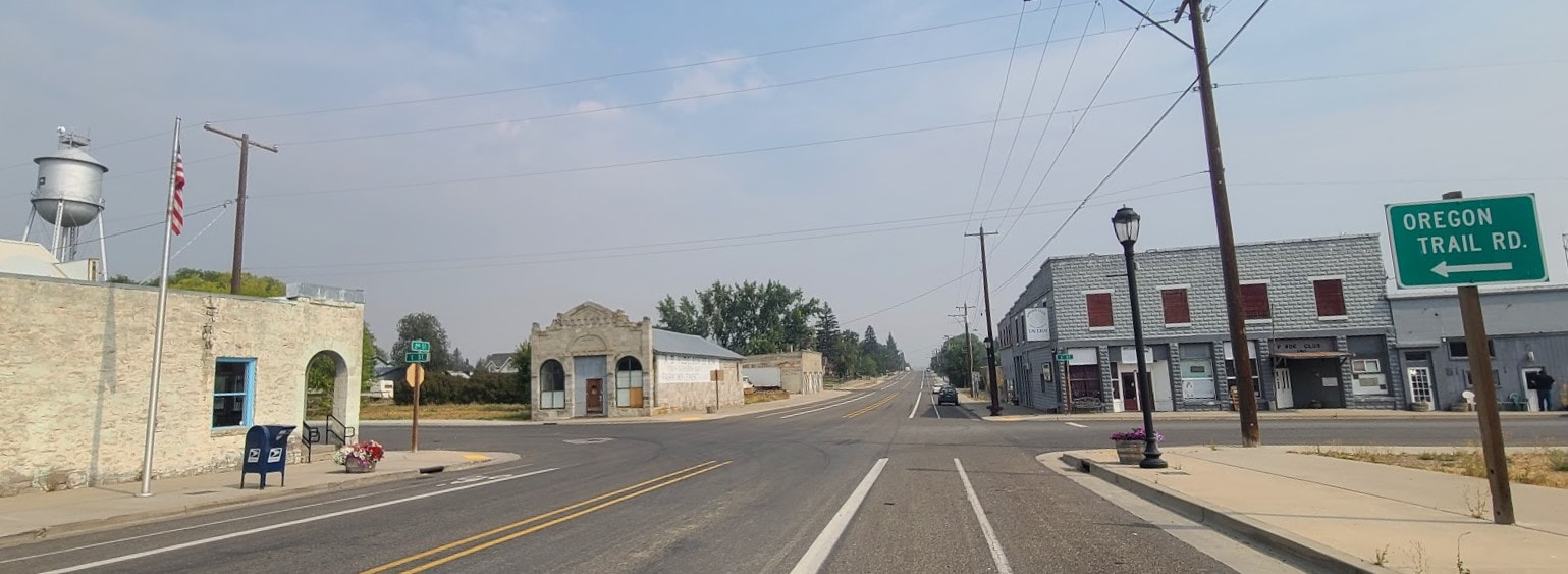
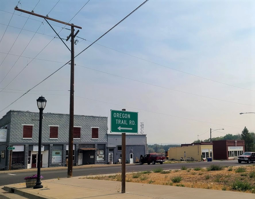
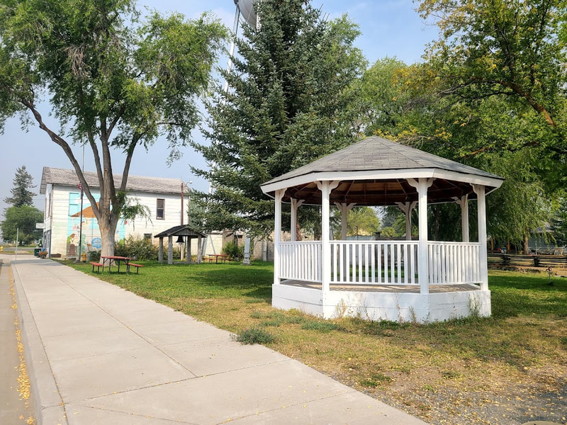
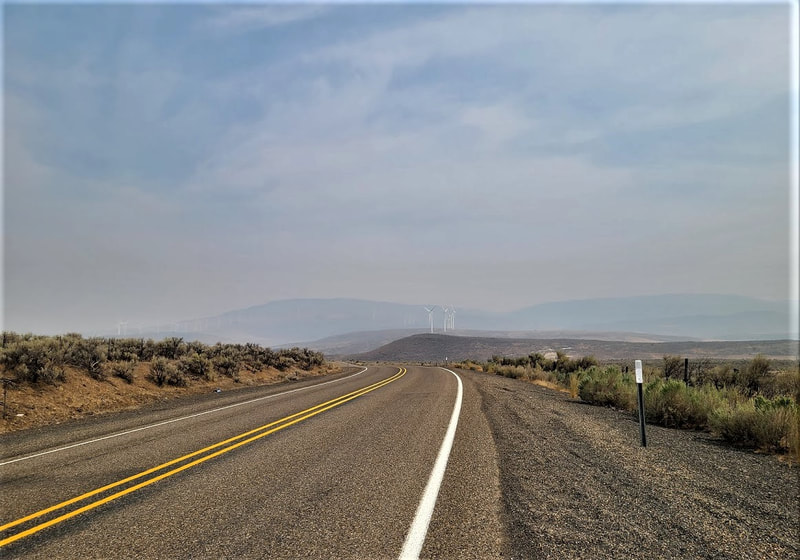
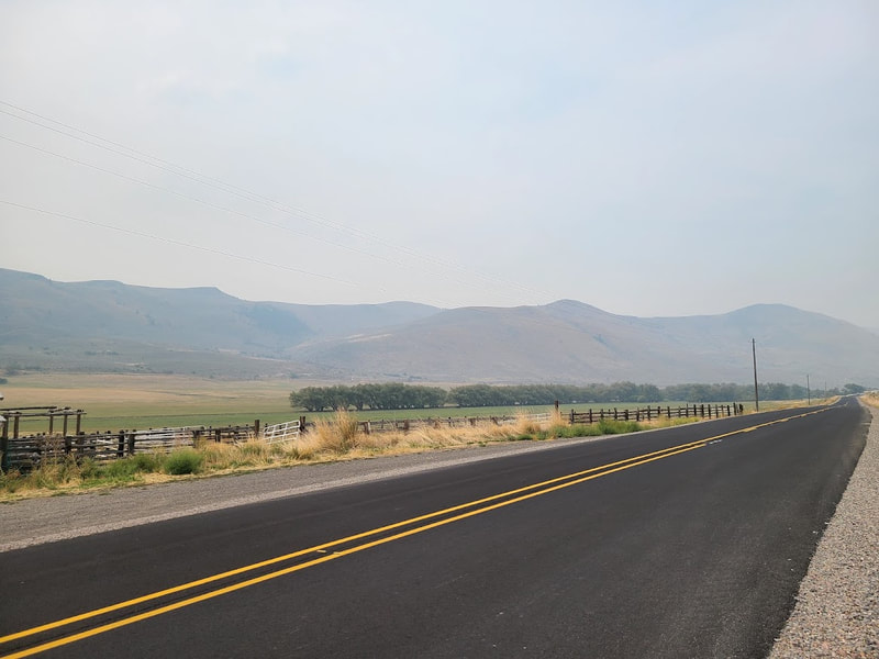
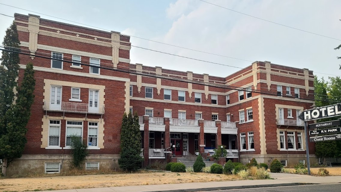
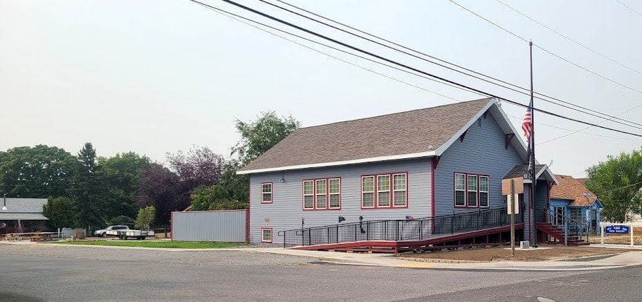
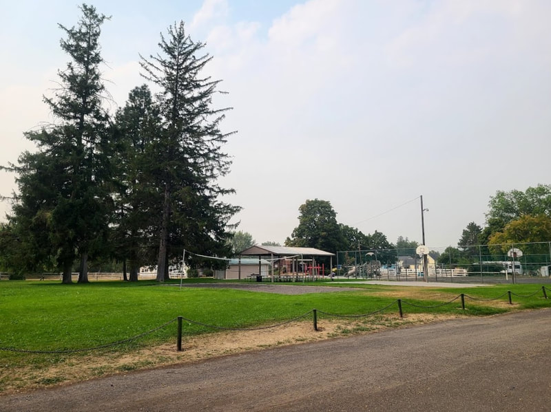
One end of the Hells Canyon Scenic Byway (Hwy 86) takes off I-84 at exit 302, driving up into the hills east of Baker City OR. It soon passes the National Historic Oregon Trail Interpretive Center, from whence you can get a nice view down into Baker Valley. East of the Oregon Trail Center the landscape looks about like what it probably did for the pioneers of the Oregon Trail, a lot of sagebrush. Well, ok, there are other signs of human undertakings, like range ranching—it’s important to know that this is Open Range, meaning cattle may be roaming about outside of fenced areas. It bears being watchful. You start seeing green again as you come to more farmland watered by the Powder River (Lower Powder Valley). Hwy 86 crosses the Powder River at the intersection with Middle Bridge Loop, and not long afterward the two (river and byway) become buddies traveling essentially the same course. The Powder River is rooted by tributaries in the mountains west of Baker City, which come together to form its trunk at Sumpter and the bulge of Philllips Reservoir. It grows north through Baker City, snaking its way more like a vine than a tree to Haines and North Powder, where it gains strength from the North Powder River and heads south again. It loses strength to irrigation projects as it continues, giving life to what otherwise would be a sage desert. Parts of the Powder River were essentially stagnant--almost no flow--as I drove along beside it. Temperatures outside my AC'd vehicle were in the mid 90s early September. Years of drought in the west have been rough on ranchers. At least one eastern OR ranching family had to sell off half the herd this year, for half the price per animal--because they could only harvest half the hay. And for the rest they had to buy & haul hay from Idaho, which costed 10s of thousands of dollars. Note the difference between green irrigated farm/ranchland and sagebrush hills, rangeland not suitable for farming, topographically as well as water wise The Powder River and Hwy 86 share the canyon leading toward the Snake River. But in Richland’s (Eagle) Valley the Powder River wanders away to the east to join the Snake River already, and Hwy 86 finds a new fellow traveler, Pine Creek, through the canyon east of Halfway, reaching the Snake River where Idaho Power has built Copperfield Campground at Oxbow OR. Richland When you come into Eagle Valley, Richland, you'll know why it got its name. A unique geography has given the local climate an advantage over surrounding areas. Residents of the place can grow what can't be grown in other nearby valleys. "Eagle Valley Grange Park in Richland Oregon. This small park hosts a variety of annual events each year including Eagle Valley Days and the Eagle Valley Steak Feed. Facilities include restrooms, community kitchen, covered pavilion and small playground area." https://travelbakercounty.com/venue/eagle-valley-grange-park-richland-oregon/ Beside the motel and RV park in town, just out of town is the Hewitt Memorial Park--camping, RVs, boat launch, showers . . . Brownlee Dam on the Snake River backs up the Powder River as well. Halfway Hells Canyon Scenic Byway to Copperfield, with a side trip up the North Pine River (creek) I wanted to add to my Snake River post and my Gone Fishin' post: my reason for traveling to Halfway this time. My guides took me in the evening, and we explored a little along the Hells Canyon Scenic Byway (Hwy 86). That included going up the North Pine River a little way, and a bit north of Oxbow to the boat ramp there. There are places of access along both the Oregon side and the Idaho side of the Snake River, but not all are wheelchair friendly, and the roads are not for the timid or long wide loads. It's worth a reminder that cattle wander the hills of open range through the summer, then at the end of summer the cows come home on their own, down from the hills—some know their way home to their own ranch. Others need sorted by brand. I bought a one day fishing license online using my phone at https://myodfw.com/ for $32--a good deal if you catch a big one. Check out the successful angler with a fish more than half his size at https://www.travelpacificnw.com/accessible-travel-blog/goin-goin-gone-fishin (scroll down to Snake River at Oxbow OR). My guides brought the gear, bait, gave me instructions, and set me in place for catfishing that night. But Oxbow Dam above was letting out more water than usual, perhaps because of storms upstream, so I paid for the experience and the photo op 😐 But I enjoyed the trip.
North Powder
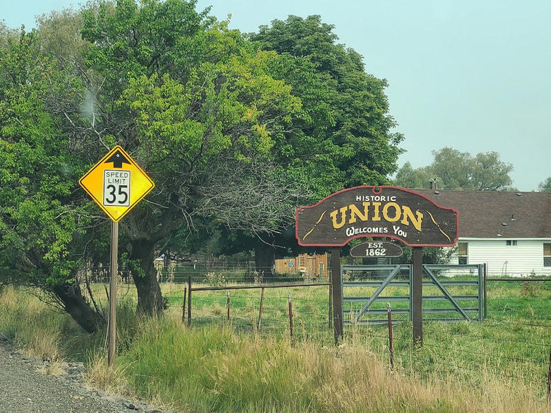
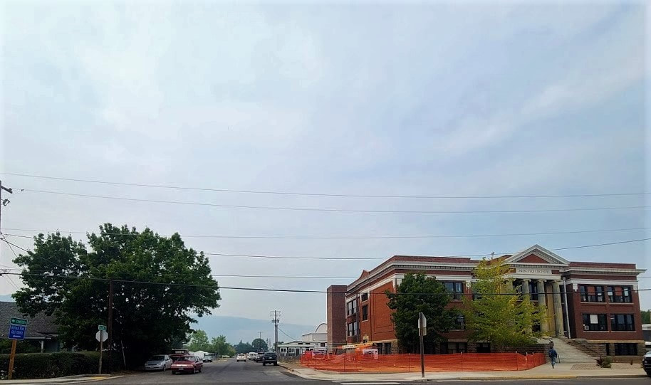
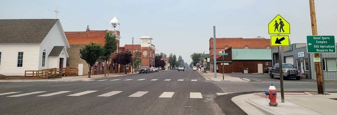
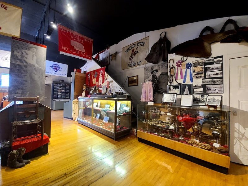
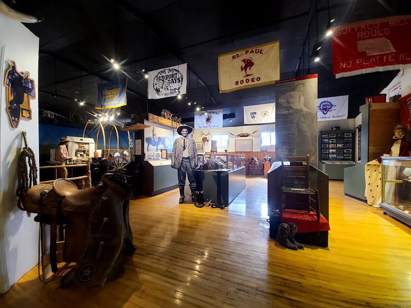
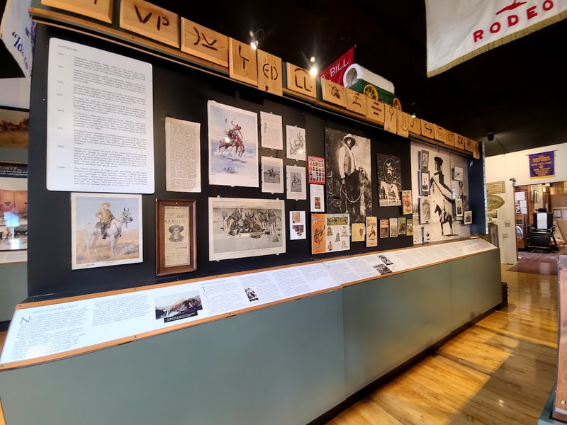
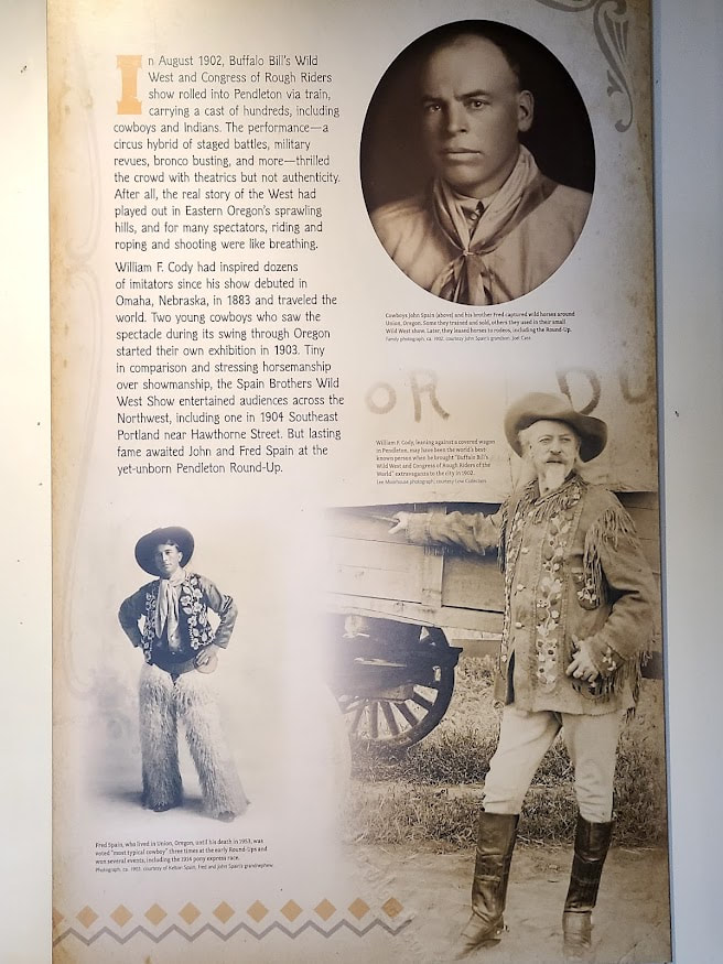
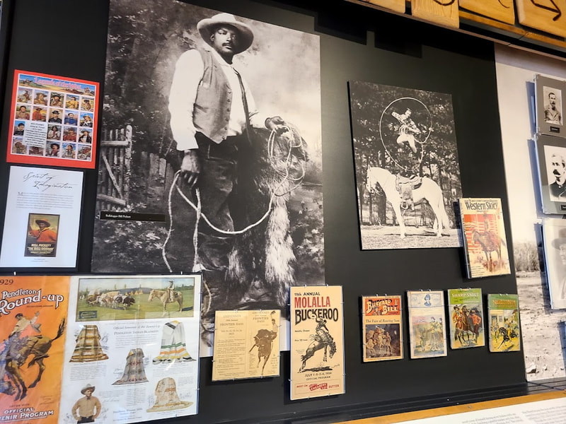
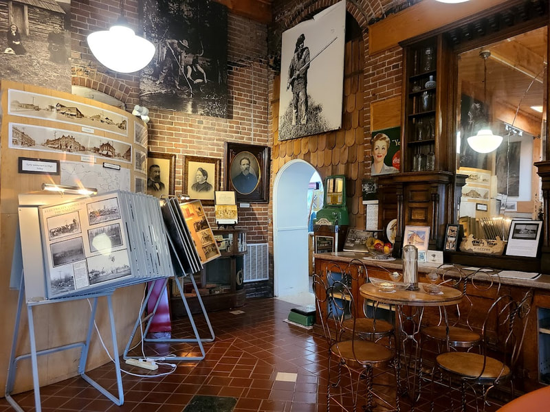
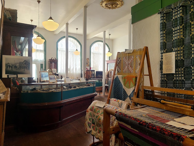
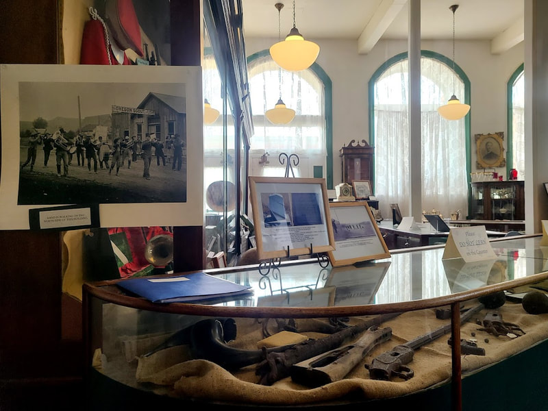
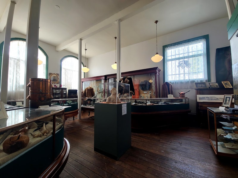
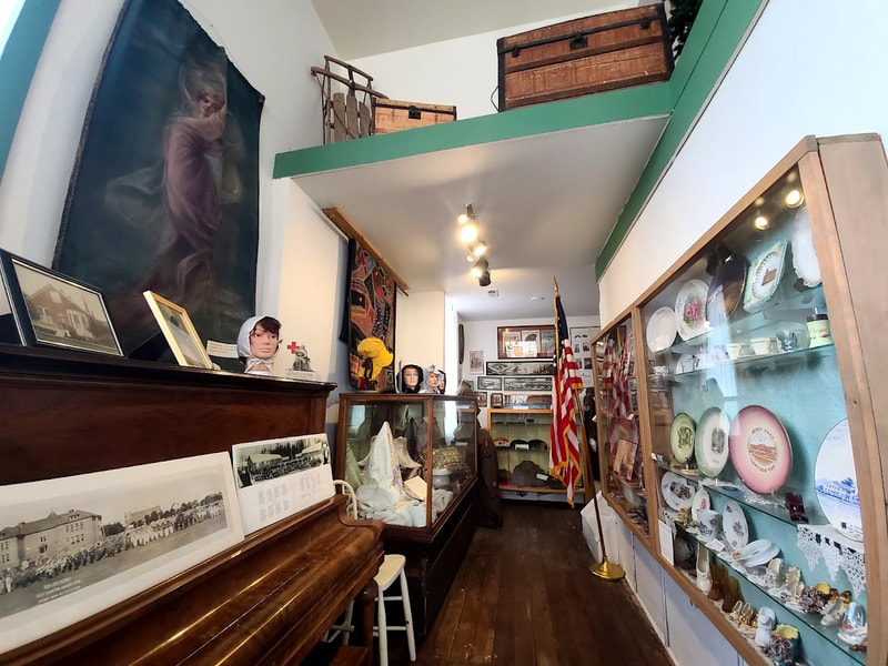
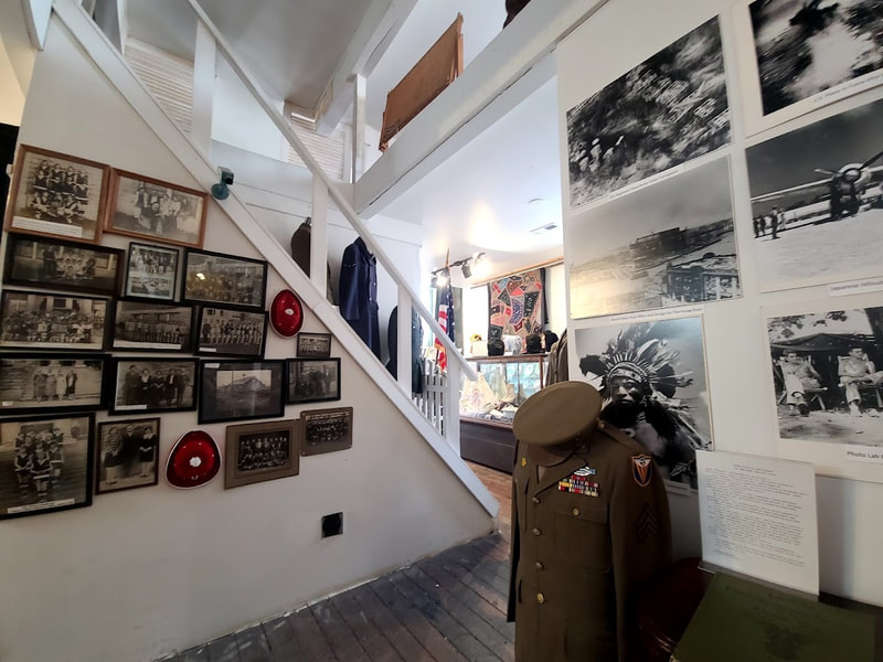
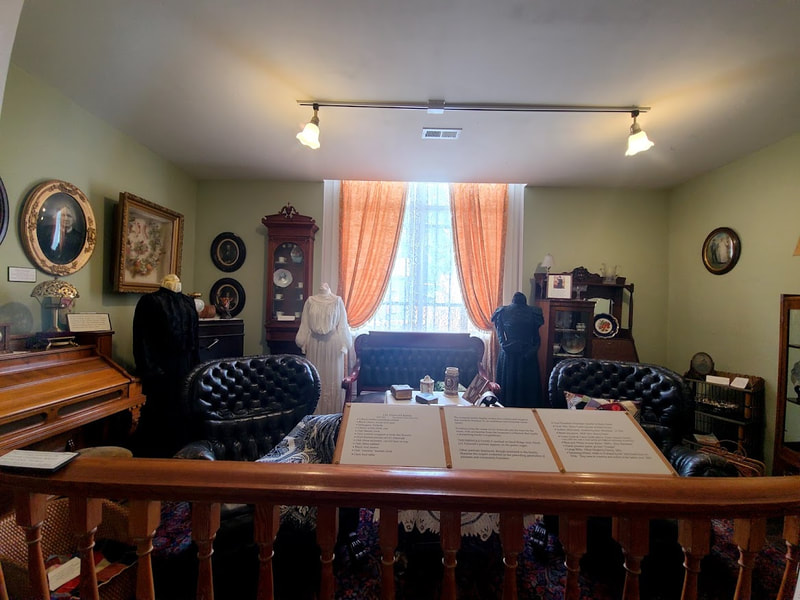
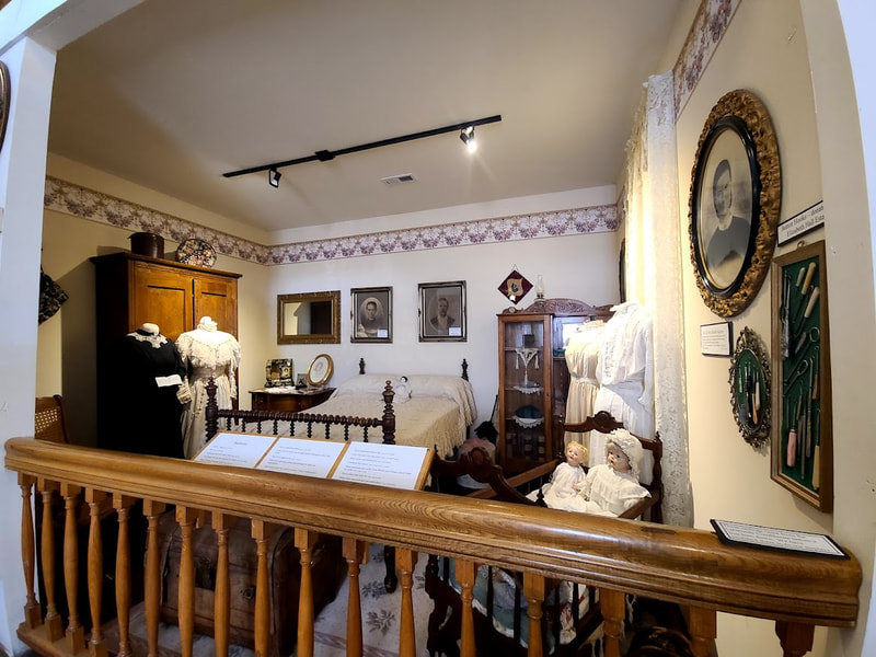
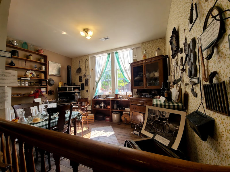
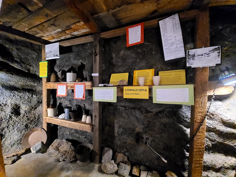
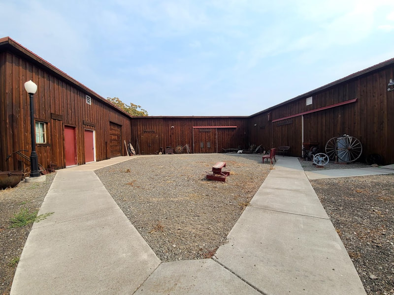
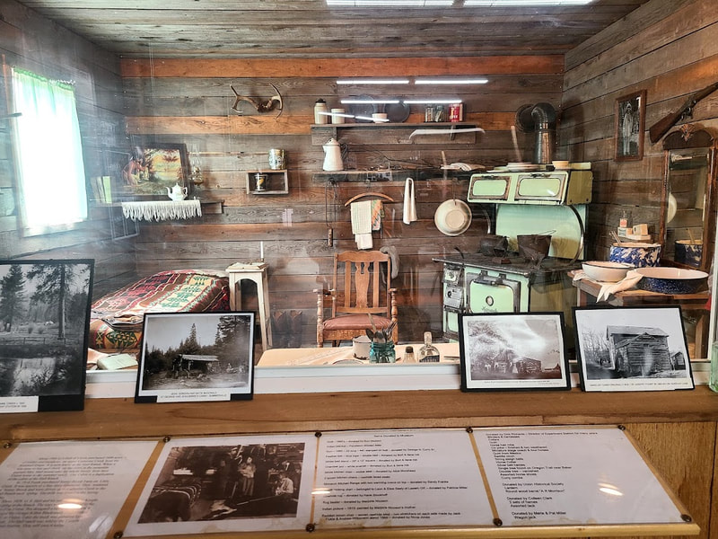
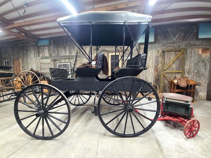
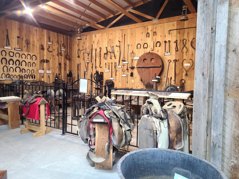
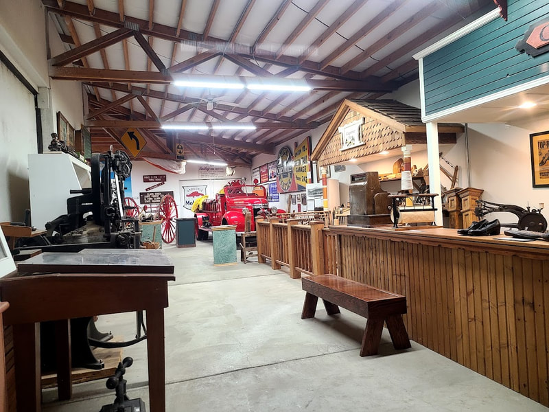
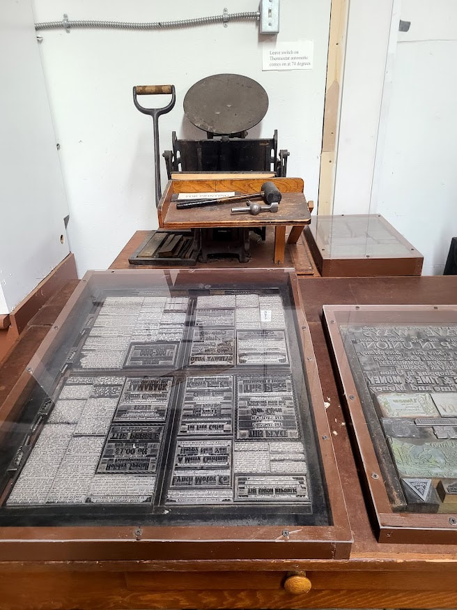
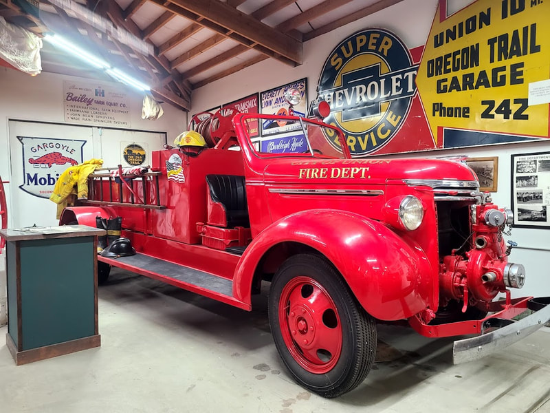
UnionAlso, scroll down to La Grande (includes a little detour out to Union) at Union County Museum, Union OR
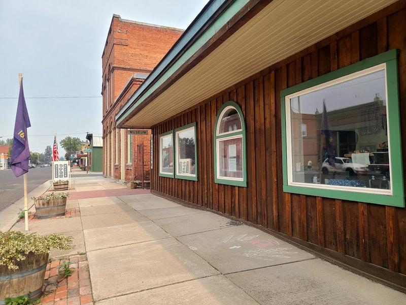
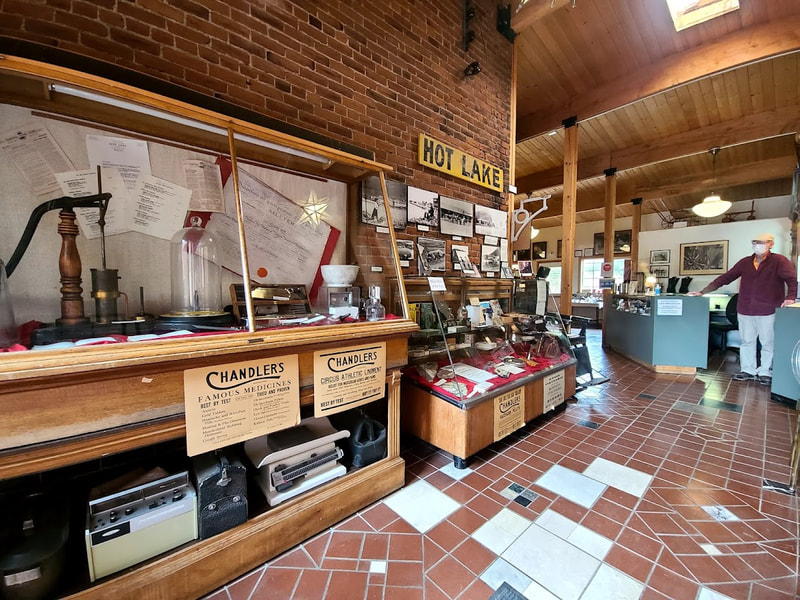
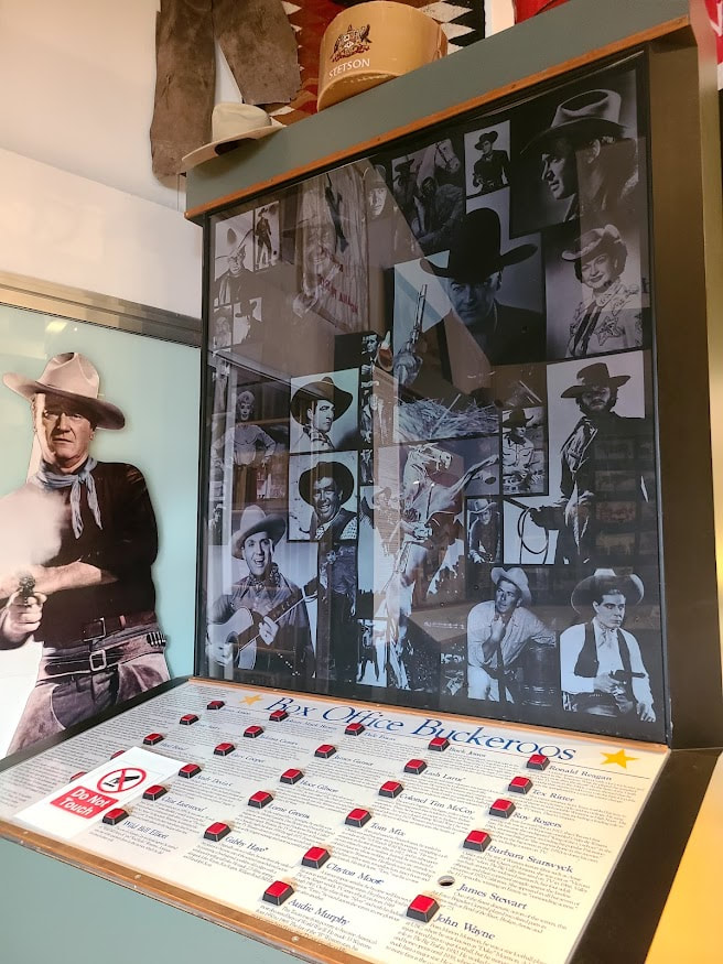
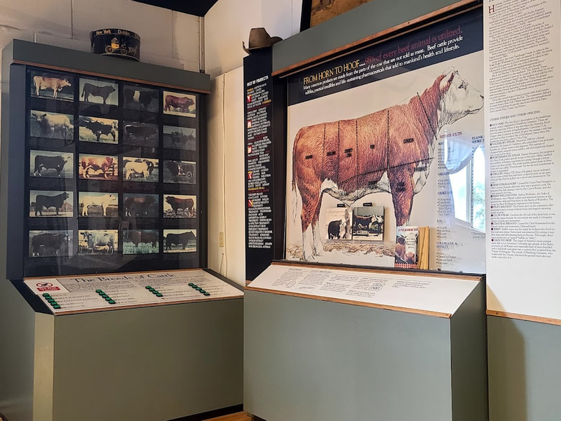
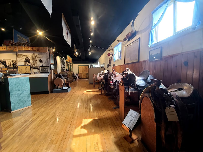
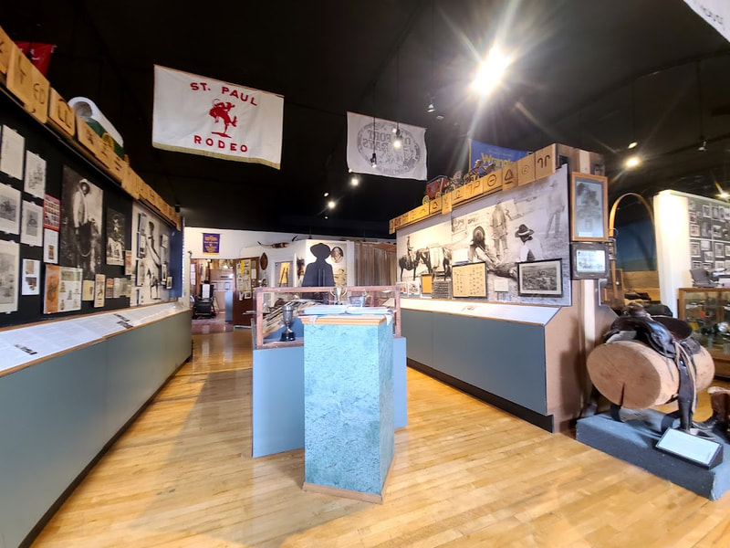
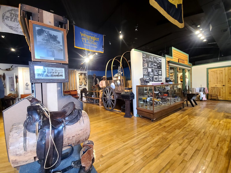
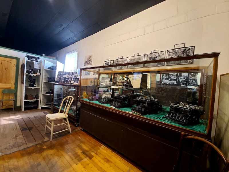
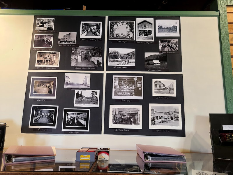
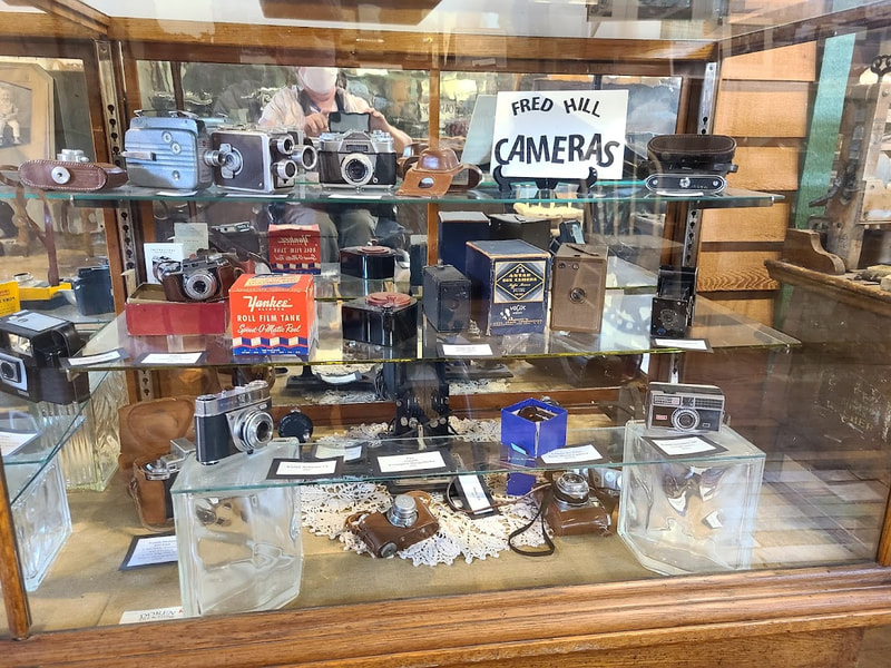
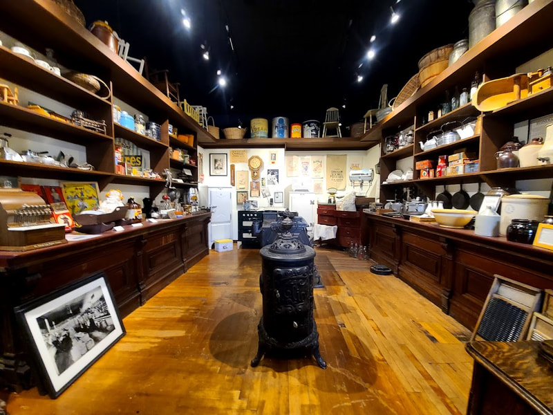
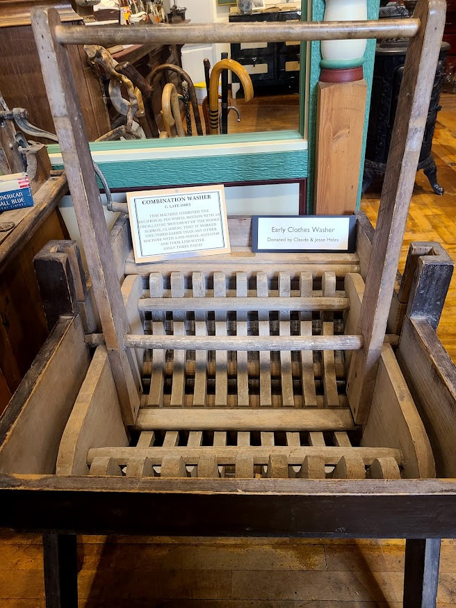
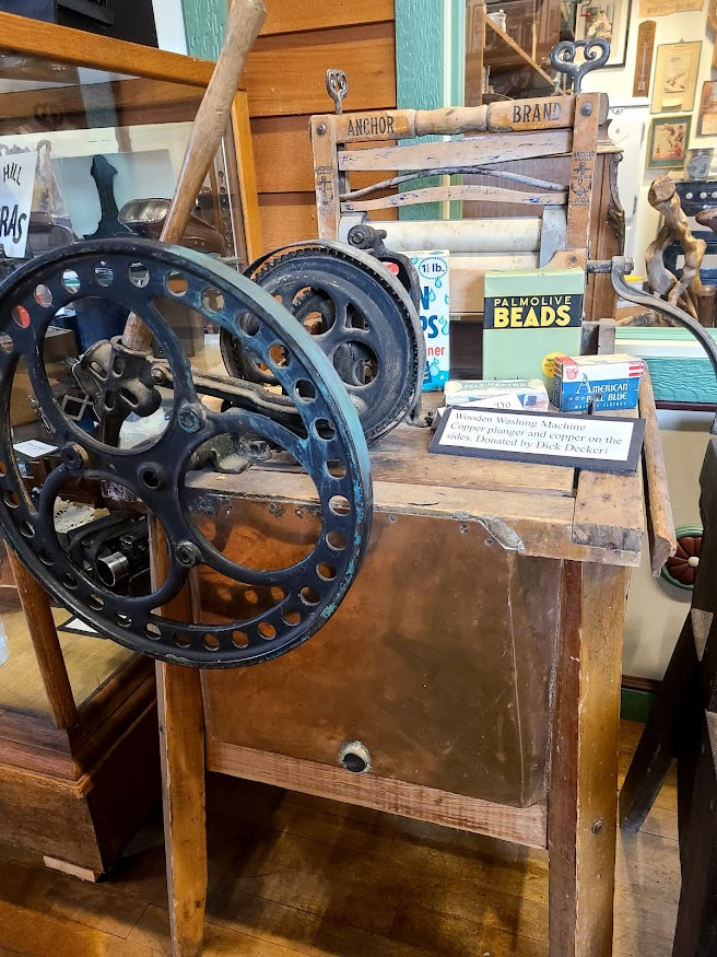
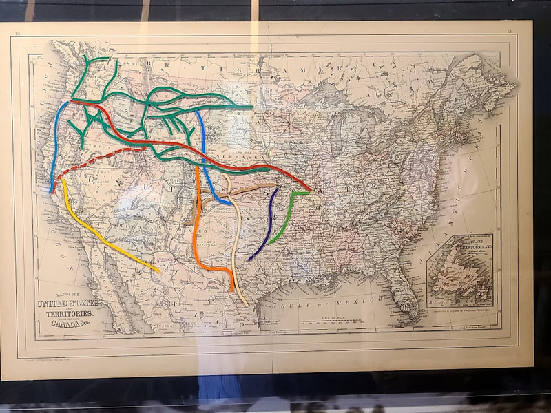
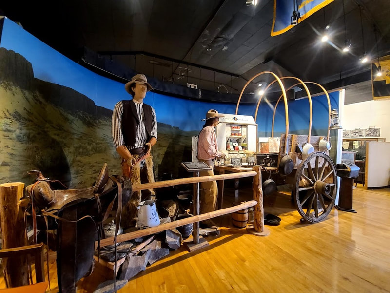
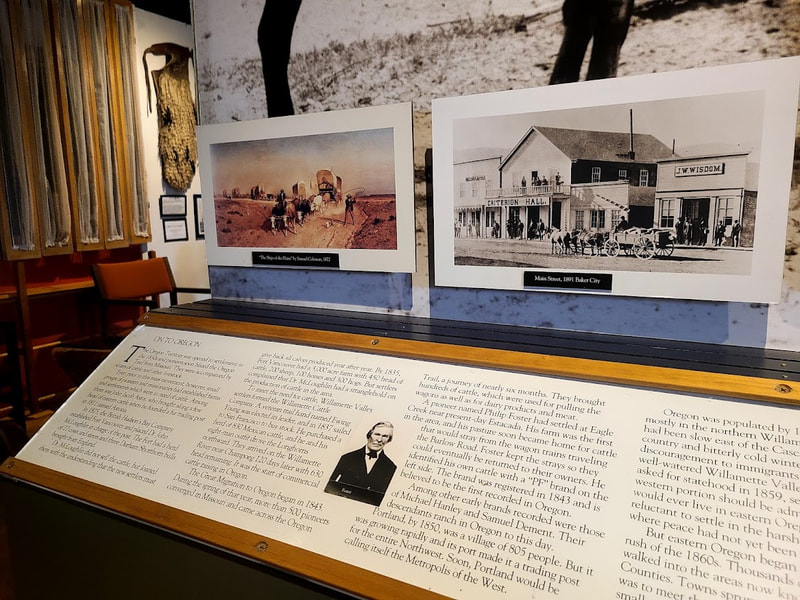
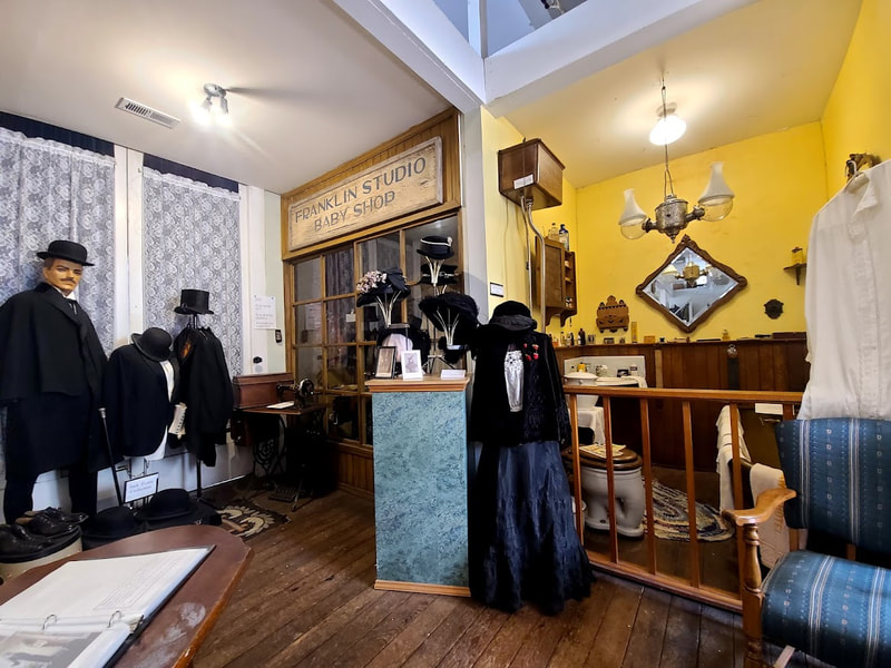
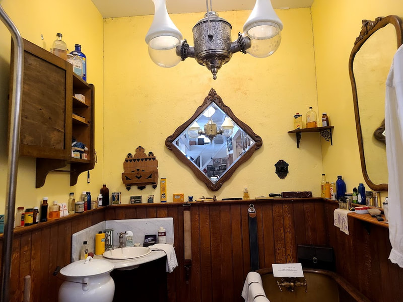
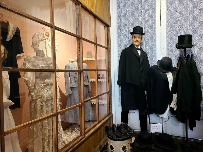
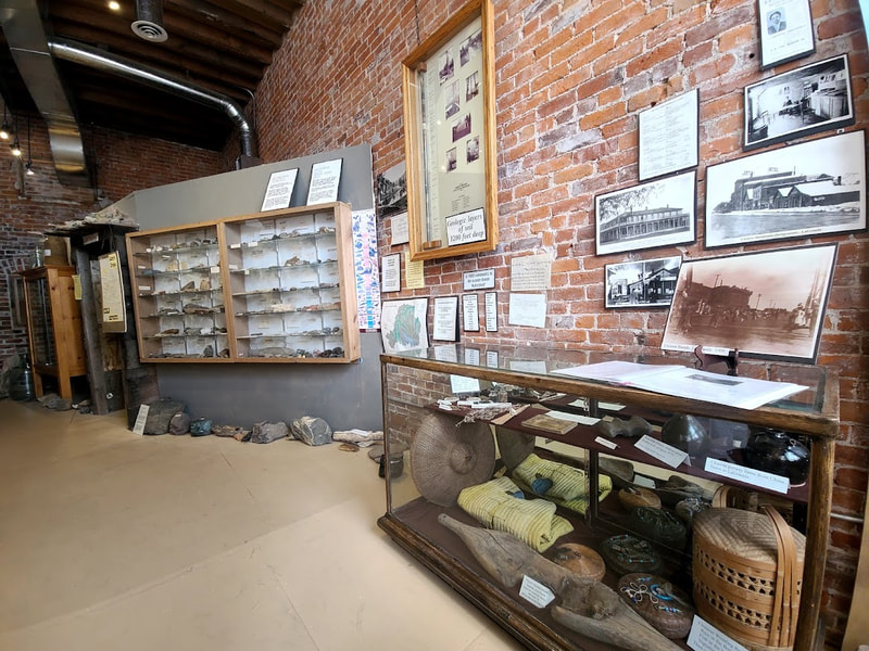
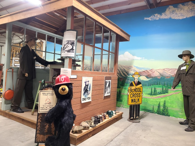
Lots of cowboy, western, Victorian life & antiques exhibits--a little about the Oregon Trail--local history etc.
0 Comments
Leave a Reply. |
Wheelchair WomanI've been in a wheelchair for 30+ years. It poses some challenges for traveling. Maybe others can benefit from my experiences. Archives
June 2024
Categories
All
|




 RSS Feed